Embed Size (px)
Citation preview

Geological Issues at the Geological Issues at the OK Tedi MineOK Tedi Mine
Keith McGregorKeith McGregor
Sophie PriceSophie Price

Presentation OrderPresentation Order
• The Region
• Mine Development and Geology
• Tailings Dam Problems
• Environmental Impacts
• Conclusion

The RegionThe Region
• Papua New Guinea gained independence from Australia in 1975
• GDP $510• Ok Tedi Mine in the Star
Mountains in the poor Western Province close to the Indonesian border.
• High rainfall– Coastal areas ~1.5m/year– Inland areas ~10m/year

Mine HistoryMine History
• 1963, Government Patrol makes first contact with ‘Min’ people of the Star Mountains, notice traces of copper
• 1969-71, Kennecott Copper Corporation survey area using a diamond drilling program, large reserves of gold and copper found under Mt Fubilan
• 1976-79, Australian company BHP forms an agreement with the Papua New Guinea government to assess the feasibility of developing mining operations
• 1980-81, BHP proposals accepted and construction begins in April 1981

Geology of MineGeology of Mine


Geology of MineGeology of Mine

Mineral ResourceMineral Resource
• Leached cap contained 88 million tonnes of material with 1.75g/tonne (155 tonnes) of gold
• 290 million tonnes of sulphide copper porphyry with 0.59g/tonne (170 tonnes) of gold and 7400g/tonne (2,150,000 tonnes) of copper
• 33 million tonnes of copper porphyry deposits with 0.99g/tonne (33 tonnes) of gold and 13650g/tonne (450,000 tonnes) of copper
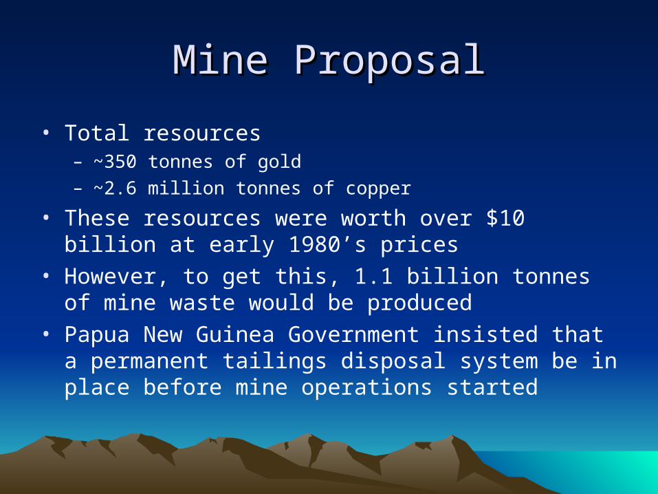
Mine ProposalMine Proposal
• Total resources – ~350 tonnes of gold – ~2.6 million tonnes of copper
• These resources were worth over $10 billion at early 1980’s prices
• However, to get this, 1.1 billion tonnes of mine waste would be produced
• Papua New Guinea Government insisted that a permanent tailings disposal system be in place before mine operations started


Dam SiteDam Site
• 40-100m Limestone hard rock cap
• 1000m Mudstone• Rocks dipped at angle of
8-10o
• Eastern bank slope 9o
• Western bank slope 13-18o

Dam ConstructionDam Construction
• Dam critical for commencement of mining operation• Fast-track approach used• Geological site investigations occurred concurrently with
detailed design and construction• Shear strength of mudstone over-estimated• No detailed geological model made
– Only one cross-section produced
• Excavation of dam foundations started 4th November 1983
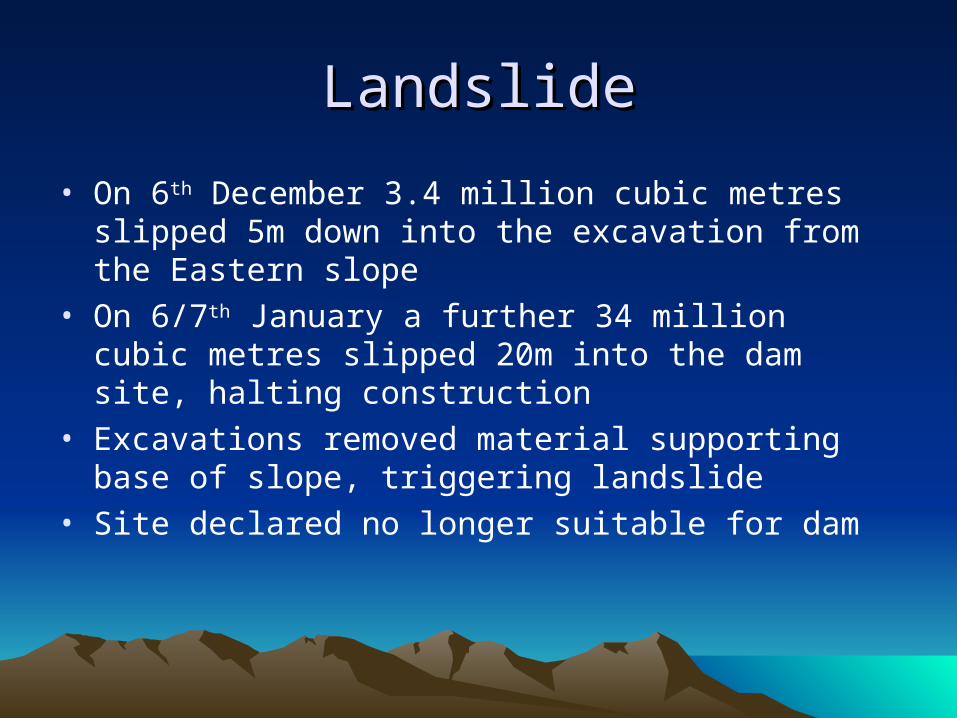
LandslideLandslide
• On 6th December 3.4 million cubic metres slipped 5m down into the excavation from the Eastern slope
• On 6/7th January a further 34 million cubic metres slipped 20m into the dam site, halting construction
• Excavations removed material supporting base of slope, triggering landslide
• Site declared no longer suitable for dam


Impact of LandslideImpact of Landslide
• An alternative solution had to be found to allow mine to go online
• The Papua New Guinea Government allowed an interim tailings dump to be reviewed in 1988
• Alternative tailings dam too expensive and unfeasible due to unstable geology
• Government allowed waste mining material to be deposited into local rivers by setting a high ‘acceptable particulate limit’ of 940mg/l
• This amounts to 90 million tonnes of waste a year

Environmental Impact of MineEnvironmental Impact of Mine
• Huge sediment level in river caused the OK Ma river bed to rise
• Flooding and vegetation die-back over a area of 1,400 sq km
• Reduction in fish numbers by 70-90%• As a result of these problems, the mine company was
sued by local people and had to pay nearly £300 million for relocation and compensation

ConclusionsConclusions
• The lack of an appreciation of the total geology of the site can be seen to be critical to the occurrence of the landslide
• A proper survey and the production of detailed geological models would have led to a better design or earlier investigations into alternatives
• Poor geological knowledge of the site led to huge costs later in the project both financially and environmentally