Embed Size (px)
DESCRIPTION
Presentation on some countries of South Asia.
Citation preview
South Asia
NepalBangladeshBhutan
Pradeep SapkotaSouthern Arkansas University

WELCOME TO NEPAL

‘NAMASTE’ FROM NEPAL
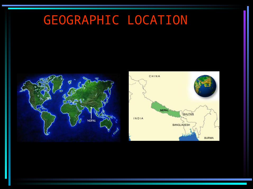
GEOGRAPHIC LOCATION
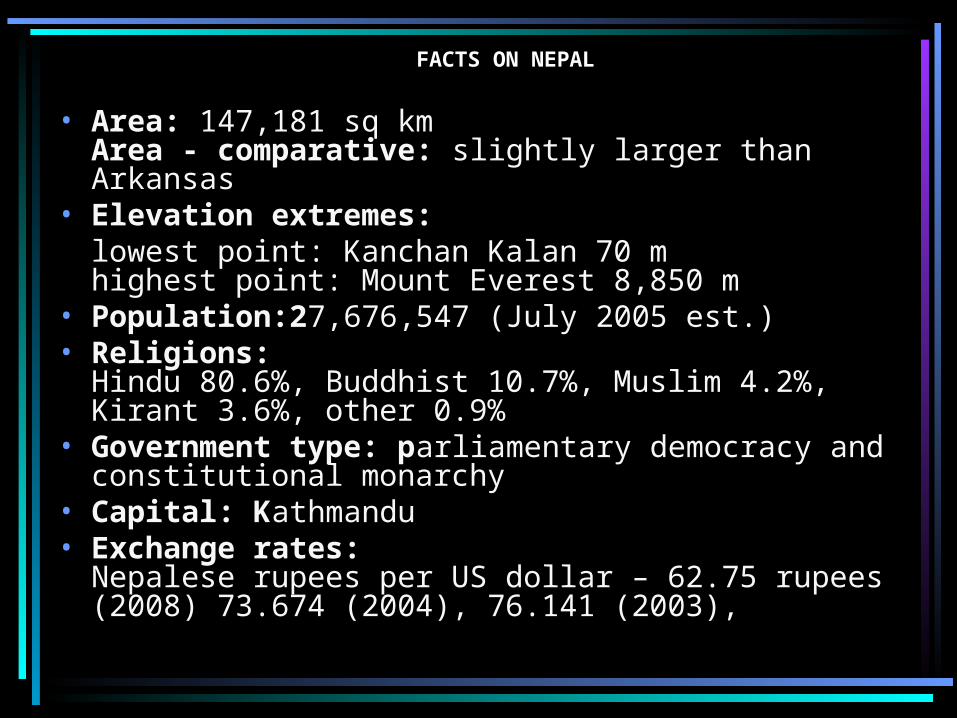
FACTS ON NEPAL
• Area: 147,181 sq km Area - comparative: slightly larger than Arkansas
• Elevation extremes:lowest point: Kanchan Kalan 70 m highest point: Mount Everest 8,850 m
• Population:27,676,547 (July 2005 est.) • Religions:
Hindu 80.6%, Buddhist 10.7%, Muslim 4.2%, Kirant 3.6%, other 0.9%
• Government type: parliamentary democracy and constitutional monarchy
• Capital: Kathmandu • Exchange rates:
Nepalese rupees per US dollar – 62.75 rupees (2008) 73.674 (2004), 76.141 (2003),
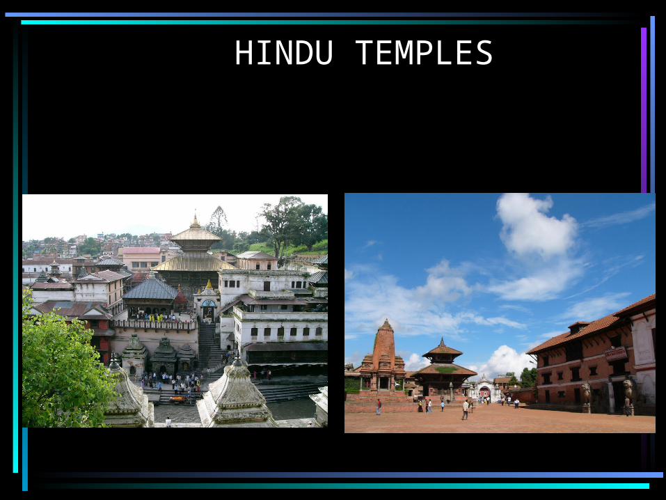
HINDU TEMPLES
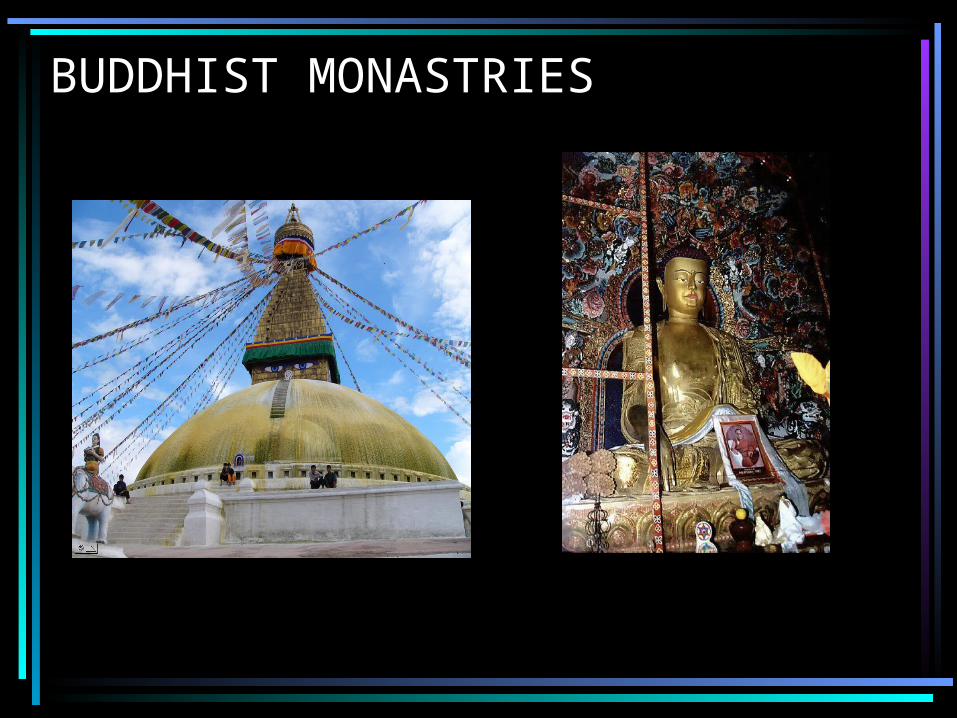
BUDDHIST MONASTRIES
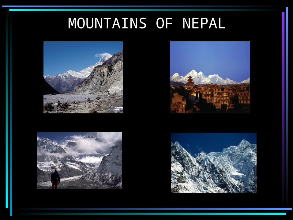
MOUNTAINS OF NEPAL
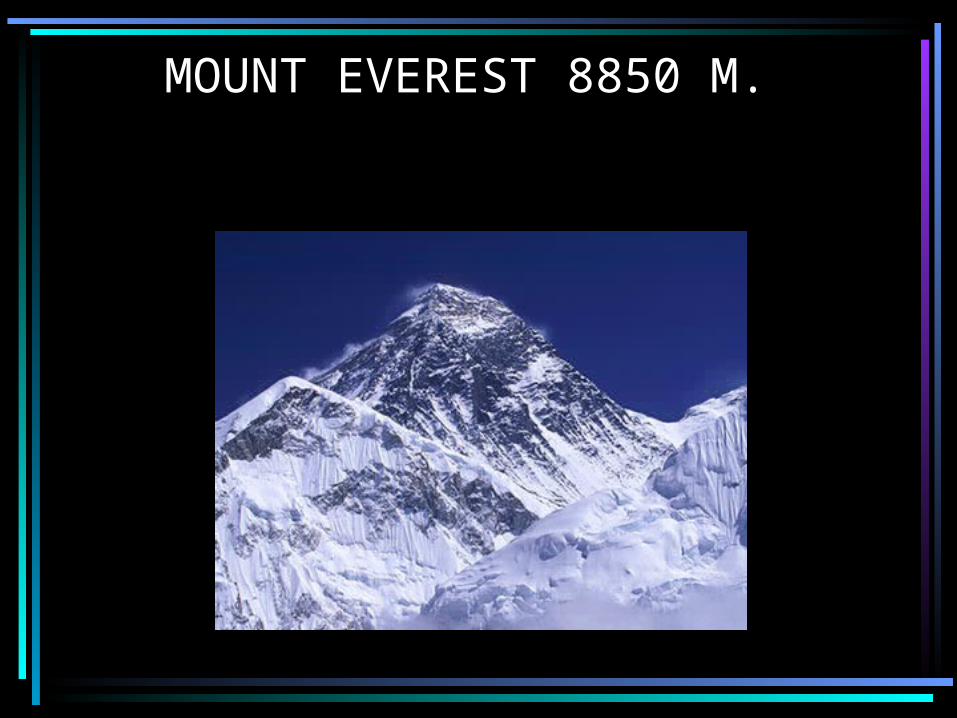
MOUNT EVEREST 8850 M.
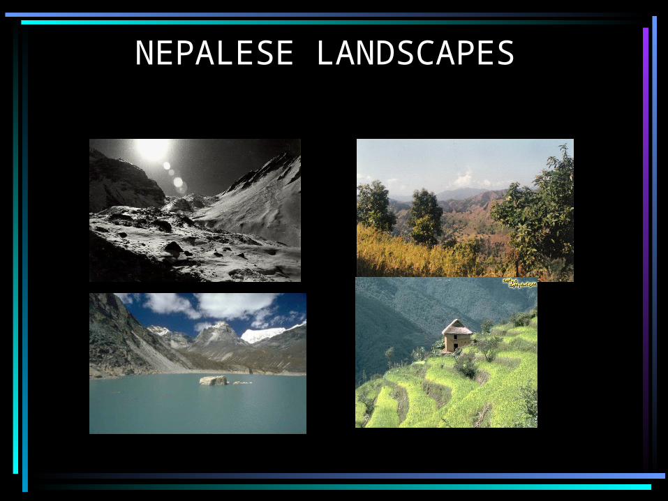
NEPALESE LANDSCAPES

THRILLS IN NEPAL
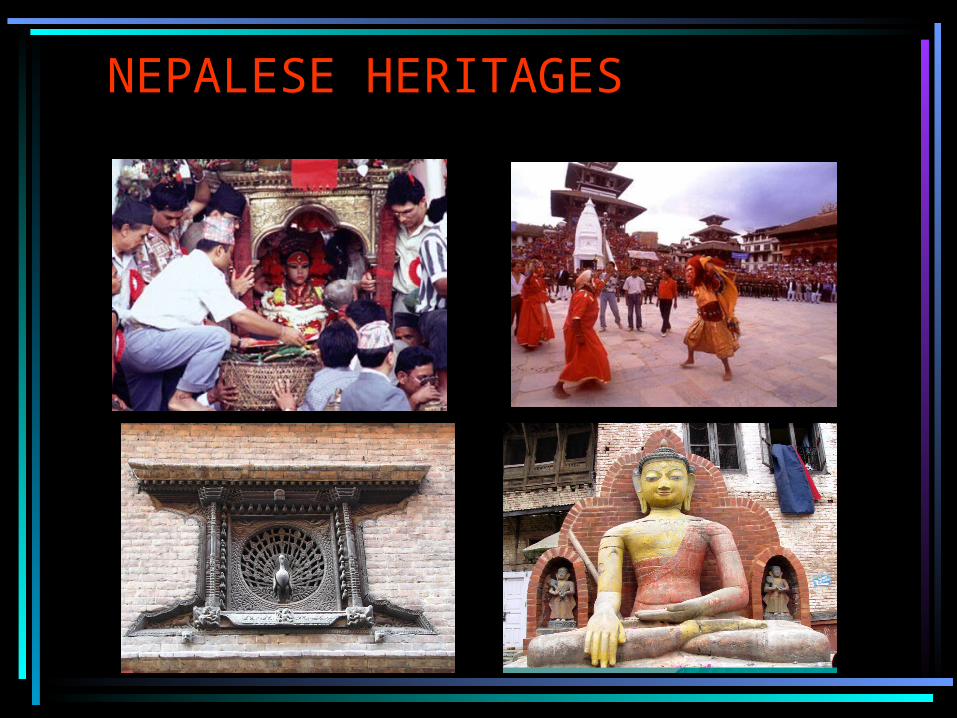
NEPALESE HERITAGES
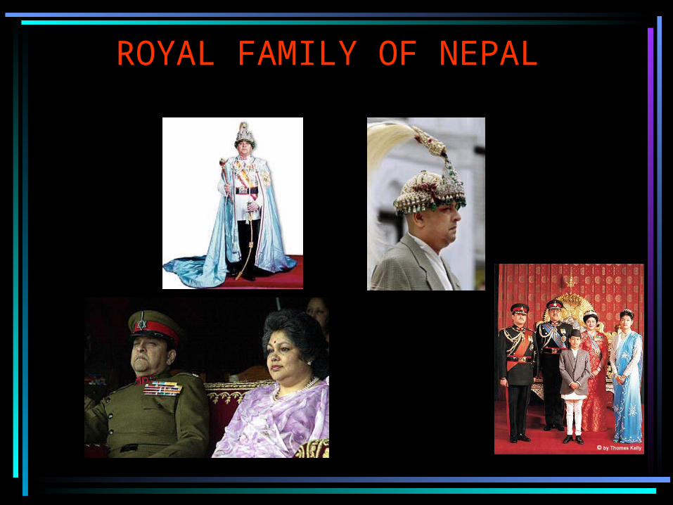
ROYAL FAMILY OF NEPAL
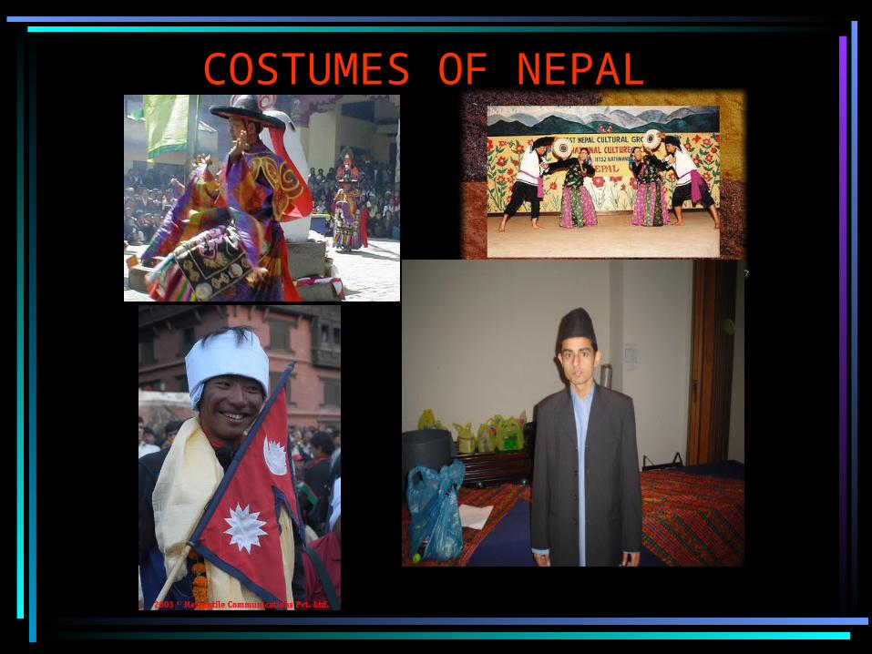
COSTUMES OF NEPAL
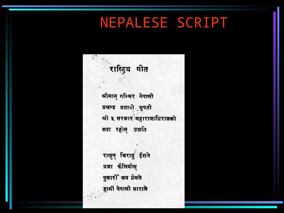
NEPALESE SCRIPT
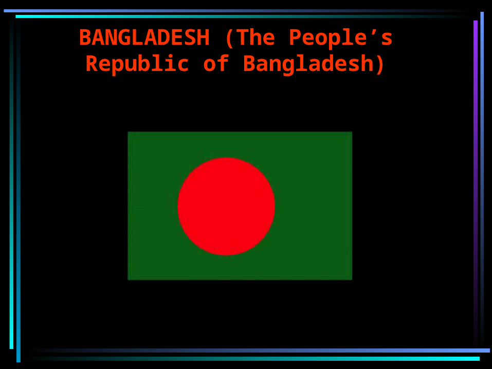
BANGLADESH (The People’s Republic of Bangladesh)
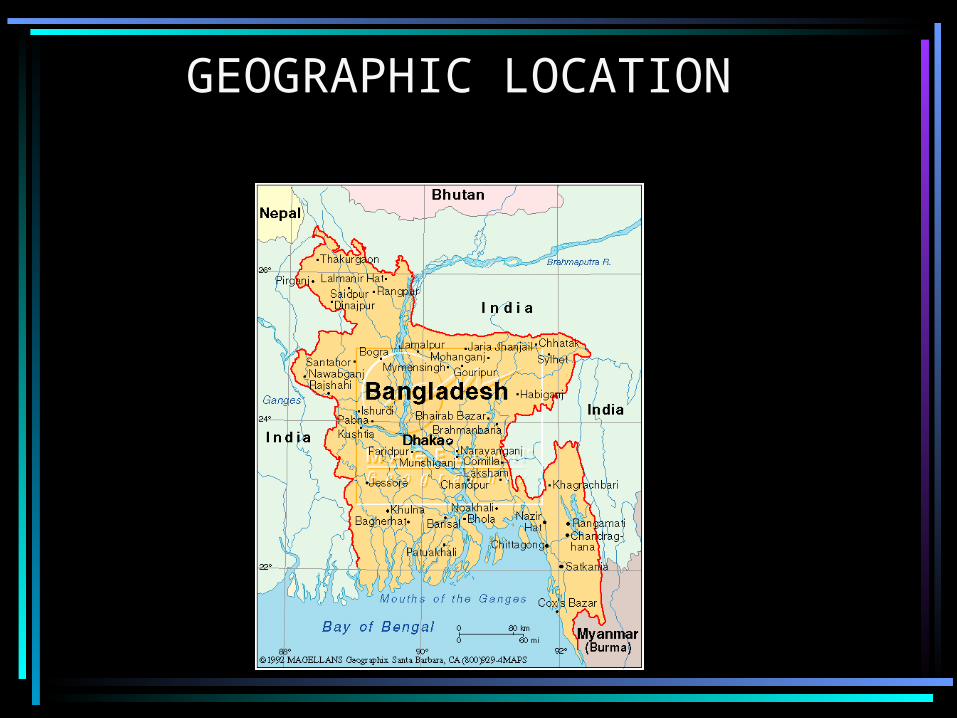
GEOGRAPHIC LOCATION
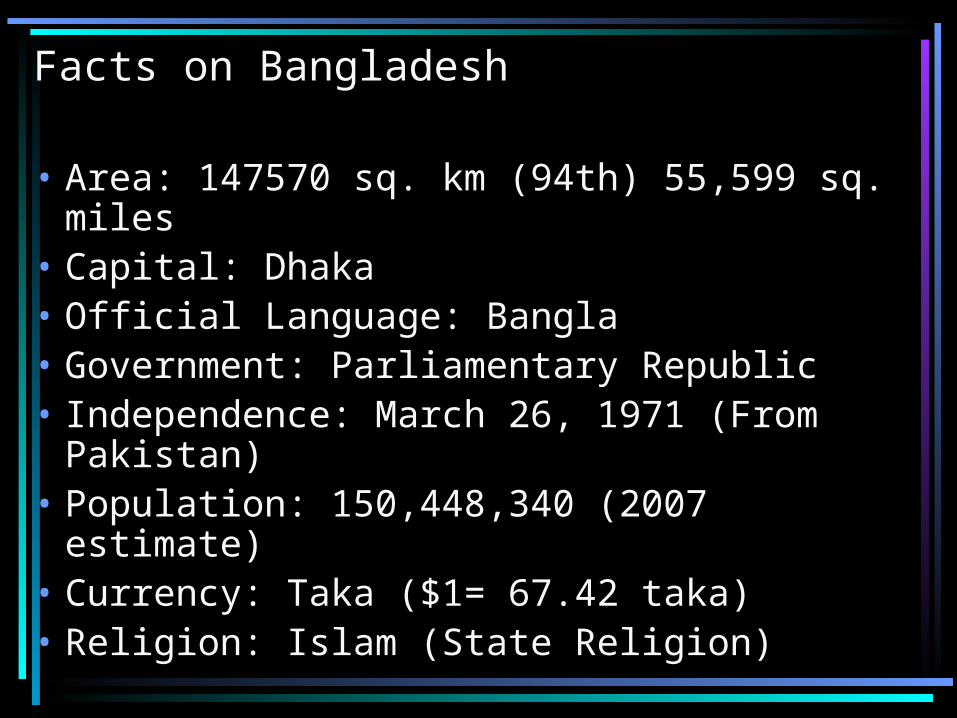
Facts on Bangladesh
• Area: 147570 sq. km (94th) 55,599 sq. miles • Capital: Dhaka• Official Language: Bangla• Government: Parliamentary Republic• Independence: March 26, 1971 (From
Pakistan) • Population: 150,448,340 (2007 estimate)• Currency: Taka ($1= 67.42 taka)• Religion: Islam (State Religion)
History
• Shared with that of India• Aryans arrived in seventh century B.C.• Shashanka considered first king• Sufi missionaries introduced Islam (12th
century)• 1947- East Bengal & Later East Pakistan
(Part of Pakistan)• 1970 massive cyclone started fire
against Pakistan regime• March 26, 1971 independence (Indian
Support)

National Symbols
• Animal : Royal Bengal Tiger• Bird: Oriental Magpie Robin• Flower: White Water Lily• Fruit: Jackfruit• Sport: Kabadi

Foreign Policy
• Member of Commonwealth of Nations
• Member of UN Security Council • Member of SAARC (South Asian
Association for Regional Cooperation)
• Close relation with India due to ‘independence war’ ties
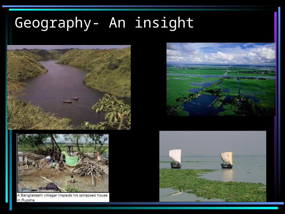
Geography- An insight
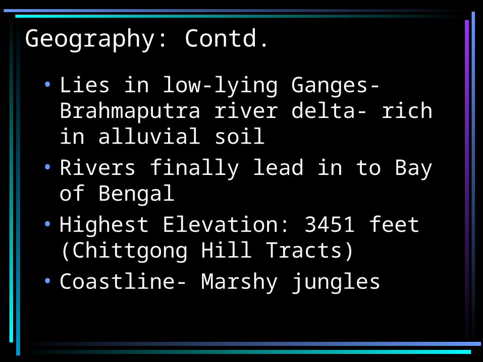
Geography: Contd.
• Lies in low-lying Ganges-Brahmaputra river delta- rich in alluvial soil
• Rivers finally lead in to Bay of Bengal
• Highest Elevation: 3451 feet (Chittgong Hill Tracts)
• Coastline- Marshy jungles
Weather
• Lies in tropic of Cancer- Tropical summer and mild winter
• Monsoon rain• Extremely vulnerable to natural
calamities• September 1998, most severe flooding
in history of mankind (noted). – 2/3rd country under water– 1000 people killed– 30 million made homeless

Costumes
Culture
• Shares with India and Pakistan• Bengali Language primary language• Rice and curry traditional food • Bangladeshi sweetmeats from milk
products unique• Major festival: Eid but also practice
Hindu festivals (Durga Puja and Saraswoti Puja) or Buddhist festivals (Buddha Purnima)
• Popular sports: Cricket, Hockey, Soccer, Kabadi etc.
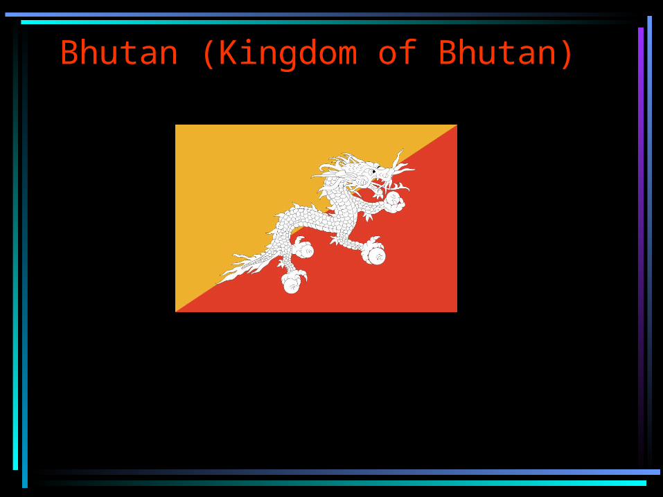
Bhutan (Kingdom of Bhutan)
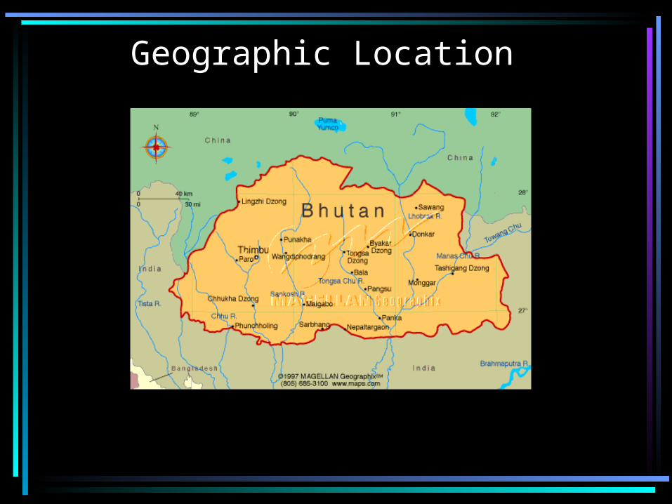
Geographic Location
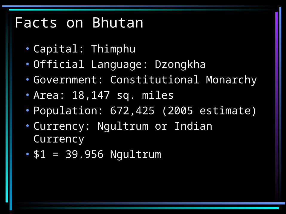
Facts on Bhutan
• Capital: Thimphu• Official Language: Dzongkha• Government: Constitutional Monarchy• Area: 18,147 sq. miles• Population: 672,425 (2005 estimate)• Currency: Ngultrum or Indian Currency• $1 = 39.956 Ngultrum
History and Foreign Affairs
• Called the country of ‘thunder dragon’• Extremely isolated nation• Bhutan- means south of Tibet (Sanskrit)• Country’s history ranges as early as 2000
BCE• Extremely rich cultural heritage• Member of SAARC• Close to India• Economy growth rate 8% (2005) 14%
(2006)
Geography and Religion
• North- Mountain peaks (~ 7000 meters)
• Gangkhar Puensum (7553m) tallest unclimbed mountain)
• South- Shiwalik Hills- dense forest
• Population: Mostly Buddhist. Then Hindus
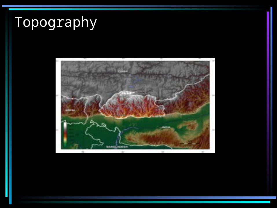
Topography
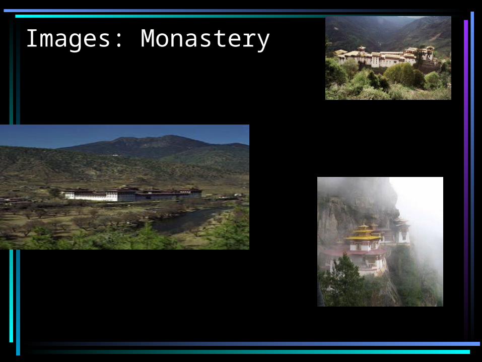
Images: Monastery
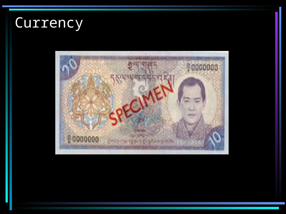
Currency
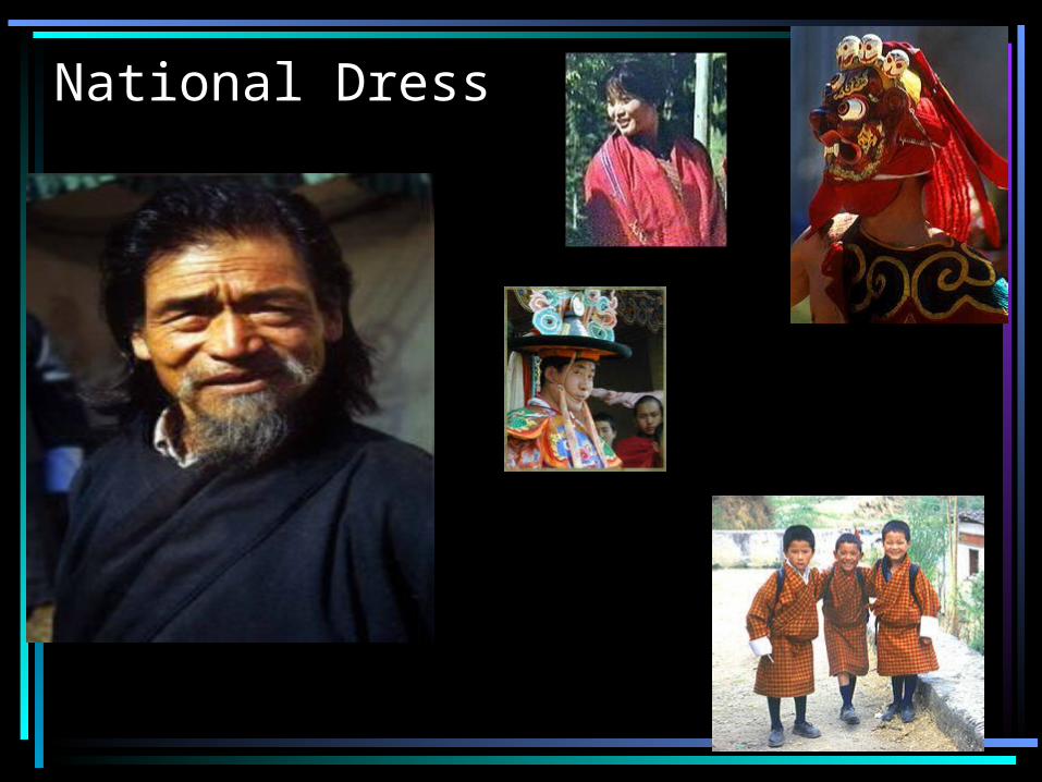
National Dress
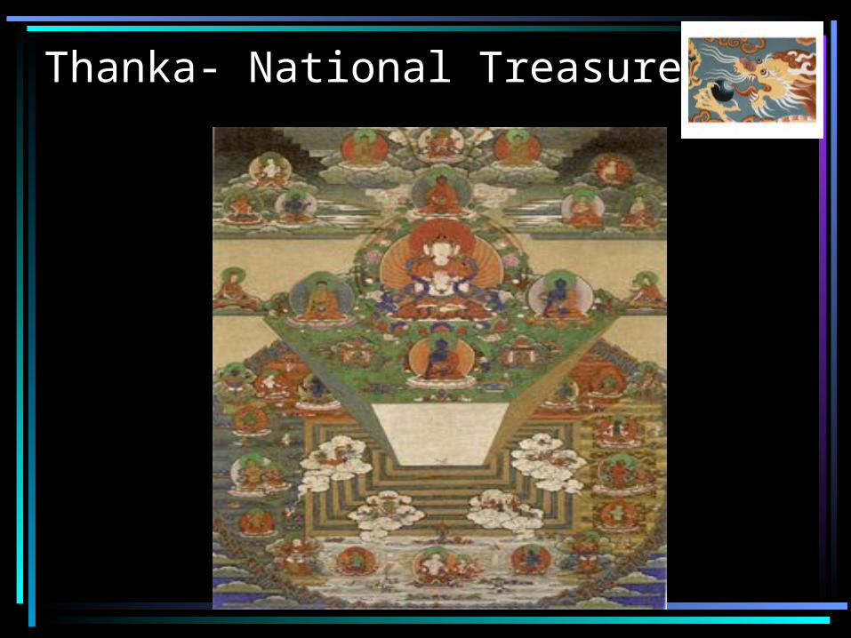
Thanka- National Treasure
Cumulative Sources
• www.oanda.com• www.finance.yahoo.com• www.wikipedia.org• SAU Magale Library • www.virtualbangladesh.com• www.nepalnews.com• www.artfiles.com• Textbook

Questions ???


![Presentation For Geography Trip[1]](https://img.pdfslide.us/doc/110x75/54730e79b4af9fae0a8b518b/presentation-for-geography-trip1.jpg)