Embed Size (px)
Citation preview

UNITED NATIONS SECRETARIAT ESA/STAT/AC.279/P13 Department of Economic and Social Affairs October 2013 Statistics Division English only United Nations Expert Group on the Integration of Statistical and Geospatial Information First Meeting New York, 30 October - 1 November 2013 Agenda: Item 8
Geographic Classifications and Boundaries: A U.S. Perspective 1
Prepared by U.S. Census Bureau
1 This document is being produced without formal editing

Tim TrainorChief , Geography Division
U.S. Census Bureau
Geographic Classifications and Boundaries:
A U.S. Perspective

1

2
Collection Geography
DisseminationGeography

2010 Collection Geography
• Regional Offices (12)• District Offices (490) • Supervisor 2 Districts (4,000)*• Supervisor 1 Districts (32,000)*• Enumeration Districts (3,800,000)* • Collection Blocks (6,700,000)
3
* = number dependent on field operation


Field Operation Supervisor District
Crew Leader District Assignment Area
Address Canvassing 748 5,668 730,920
Group Quarters Validation 151 1,273 732,402
Update/Leave 523 3,323 202,890
Update/Enumerate 178 1,037 32,574
Non‐Response Follow Up 4,062 32,481 39,405
Remote Update/Enumerate 2 13 224
Remote Alaska 6 48 1,258
Census Coverage Measurement
n/a n/a 3,892,985
Group Quarters Enumeration
494 1,579 732,402
Field Verification 494 494 6,710,413

2010 Collection Geography
• Collection BlocksCriteria: 1) Bounded by roads, shorelines,
county boundaries, American Indian reservation & trust land boundaries, military installation boundaries, and/or minor civil divisions in some states.
2) Contiguous
Guidelines: 1)Compactness2)Size of Area
–Remained consistent through all census operations.
–No housing unit count requirement for collection blocks.
7

2010 Collection Geography
• Assignment Areas (AAs)Criteria: 1)Built from one or more 2010 collection
blocks 2)Cannot cross county boundaries,
American Indian reservation & trust land boundaries, military installation boundaries, and/or minor civil divisions in some states.
3) Contiguous
Guidelines: 1)Compactness2)Land Area
–A small geographic area consisting of a collection block or group of blocks established by the Census Bureau as a basic unit for data collection by a single enumerator for a single operation.
8

2010 Collection Geography
• Assignment Areas different by field operation
9
Address Canvassing Census Coverage Measurement

The Basic Collection Unit (BCU)A Proposal for the 2020 Census• Replaces the collection block and assignment area concepts
• Incorporates new homogeneity requirements based on research
• Creates a single, stable, nationwide set of “basic collection units” to be used for all census and survey field operations
• Updated throughout the decade leading up to the 2020 Census, butwill maintain comparability (splitting, merging, small boundary corrections)
• Provides a basic framework for 2020 Census planning
• Designed to meet the needs of statistical modeling for cost management (homogeneity and stability), and the needs of different field operations (navigability and manageable size)
10

Dissemination Geography
11
Legal • States (50)• Counties (3,000) • County subdivisions
(Towns & townships) (31,000)• Places (Incorporated) (19,000)• Indigenous areas (Reservations
and trust land) (400)
Administrative • Election areas (186,000)• School areas (13,000)• Postal areas (33,000)
Statistical • Regions (5)• Divisions (10)• County subdivisions
(Census county divisions) (5,000)• Places (Census designated) (10,000)• Indigenous areas (Statistical areas) (280)• Census tracts (74,000)• Block groups (220,000)• Tabulation blocks (11 million)• Metropolitan/Micropolitan areas (1,000)• Urban areas (3,000)• Traffic analysis areas (228,000)

Hierarchy of Census
Dissemination Geography

Geographic Area Update Programs
• Boundary and Annexation Survey (BAS)
• Redistricting Data Program (RDP)
• School District Review Program (SDRP)
• Participant Statistical Areas Update (PSAP)
• Tribal Statistical Areas Update (TSAP)
• Public Use Microdata Area (PUMA) Program
• Traffic Analysis Zone (TAZ) Program
13

Boundary and Annexation Survey (BAS)
• A voluntary survey of local, county, and tribal governments
• Conducted annually to collect information about legal geographic areas
• Primary source of information for:– Legal boundary – Names of government – Functional status (active or inactive) – Type of governmental unit – New government – Dissolved government – Boundary change – Legal geographic relationship
• e.g., incorporated place annexes into a new county
14
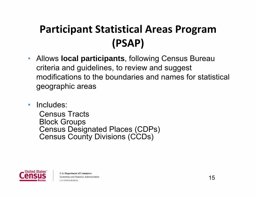
• Allows local participants, following Census Bureau criteria and guidelines, to review and suggest modifications to the boundaries and names for statistical geographic areas
• Includes: Census Tracts Block Groups Census Designated Places (CDPs) Census County Divisions (CCDs)
Participant Statistical Areas Program (PSAP)
15

County SubdivisionsMinor Civil Divisions (legal)
• Legal sub‐county entities in 29 states, the District of Columbia, Puerto Rico, and the Island Areas
• May have a formal government with elected officials
Census County Divisions (statistical)
• Statistical sub‐county entities that have stable boundaries and recognizable names in 21 states
• No minimum or maximum population guidelines
16


Places
Incorporated Places (legal)
• Referred to as cities, boroughs, towns, or villages, depending on the state
• Some form of local governance (city council, mayor, etc) recognized by the state
• Boundaries maintained through annual BAS program
Census Designated Places (statistical)• Area with a concentration
of population, housing, and commercial structures identifiable by name; not within an incorporated place
18

19

Blount County, Alabama 2009
20
Smoke Rise CDP
Hayden Town

Smoke Rise CDP
Hayden Town
21
Blount County, Alabama 2009

Smoke Rise CDP, 2010
22

Census Tracts
• Small, relatively permanent statistical subdivisions of a county
• Relatively consistent boundaries over time, partner changes once per decade
• Increased importance over time for data analysis • Optimally 4,000 people; range between 1,200 and
8,000 • About 74,000 for 2010 Census, 65,000 for Census
2000, and 50,690 for the 1990 Census • Defined nationwide for the first time for the 1990
Census
23

Tabulation Blocks● Smallest units for 100% data tabulation ● Cover entire nation ● Nest within all other types of geographic
areas ● Generally bounded by visible features or
boundaries ● Batch delineation algorithm ● Last geographic area delineated for the
census

Census Tract

Census Tract
Block Group

Census TractBlock Group
Census Block


30

Major Considerations for Geographic Areas
• 100% Counts vs. Sample • Relationship to Other Geographic Areas • Changing Boundaries – comparability over time• Unintended Uses • Products • Schedule • Maintenance • Resources
Specific Considerations for Geographic Areas
• Disclosure avoidance
Data swapping
Data suppression
• Data reliability
• Sample size
• Response rates
• Response options
• Response quality
• Detailed characteristics / microdata
• Weighting
• Sample frame
• Density measures
• Frequency of censuses / surveys
• Frequency of data releases
• Frequency of boundary changes
• Type of boundary changes• Field verification • Use of non-visible boundaries • Spatial accuracy of data • Imagery verification • Authoritative sources • Nesting relationship with other geographic
areas • Sliver geography / subtraction geography • Access to technology (GIS, GPS, etc.) • Number of geographic areas • Relationship to and accuracy of base data
(roads, water, and buildings) • Contiguity • Compactness • Cartographic considerations / generalization of
boundaries

Data availabilityDecennial Census
American Community Survey
Population Estimates Program
Economic Census (2012)
Incorporated Places
All All in 5‐year estimates, >20,000 in 3‐year, >65,000 in 1‐year
All 2,500 or more persons/jobs
Census Designated Places
All All in 5‐year estimates, >20,000 in 3‐year, >65,000 in 1‐year
Not included 2,500 or more persons/jobs
Minor Civil Divisions (MCDs)
All All in 5‐year estimates, >20,000 in 3‐year, >65,000 in 1‐year
20 states only
12 states only
Census County Divisions (CCDs)
All All in 5‐year estimates, >20,000 in 3‐year, >65,000 in 1‐year
Not included Not included

Geographic Stability/MaintenanceBoundary Update Programs
Incorporated Places
Annual update
Annual Boundary and Annexation Survey (BAS)
Census Designated Places
Decennial (10 year) update
Participant Statistical Areas Program (PSAP)
Minor Civil Divisions (MCDs)
Annual update
Annual Boundary and Annexation Survey (BAS)
Census County Divisions (CCDs)
Decennial (10 year) update
Participant Statistical Areas Program (PSAP)

Wrap up• Diverse legal/statistical framework• Mixed hierarchical infrastructure • Multiple components and relationships
• All units relate to blocks, but not all units relate to each other directly
• Flexible, multi-purpose entities• Tracts, blocks
• Targeted, focused purpose entities• School districts, election districts
• Cultivation of engaged internal and external user base
• Public/private, internal/external customers• Various avenues pursued for consultation and exchange at all
stages• Constant, active solicitation of input

• Interrelation between statistical and legal– Legal areas create basic frame– Statistical areas used to support and “fill in gaps” where
necessary– Interoperation creates diverse, robust framework
• Flexible geographic architectureImplementation of statistical and legal entities provides
opportunities to strengthen collection and dissemination capacities
– Adapt to geographic change quickly– Address new dissemination requirements– Support unexpected collection needs
Wrap up, continued

Recommendations
• For world-wide comparable statistical data:– Determine a set of standard geographies– Ensure definitions of areas are consistent
• Suggest:– Block – Tract– Urban/Rural
37

38