Embed Size (px)
DESCRIPTION
Geo-referenced data and DLI aggregate data sources. Chuck Humphrey. University of Alberta ACCOLEDS 2007. Geo-referenced data. - PowerPoint PPT Presentation
Citation preview
Geo-referenced data Geo-referenced data and DLI aggregate and DLI aggregate
data sourcesdata sources
Chuck HumphreyChuck Humphrey
University of AlbertaUniversity of AlbertaACCOLEDS 2007ACCOLEDS 2007
Geo-referenced dataGeo-referenced data
This presentation provides an introduction to aggregate data sources, primarily from Statistics Canada, that may be of value to those using GIS to explore the spatial distribution of Canadian socio-economic characteristics.
To be of use to GIS researchers, these aggregate products must contain geo-referenced data.
Geo-referenced dataGeo-referenced data
What are geo-referenced data? Aggregate data, which are often organized
in multi-way tables, containing at least one variable representing a specific spatial unit in which the geo-codes are based on a standard geographic classification and/or have corresponding boundary files using the same geo-coding system.
A spatial unit is the geographic area used as the unit of analysis to structure the data.
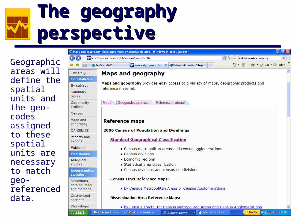
The geography perspectiveThe geography perspective
Geographic areas will define the spatial units and the geo-codes assigned to these spatial units are necessary to match geo-referenced data.
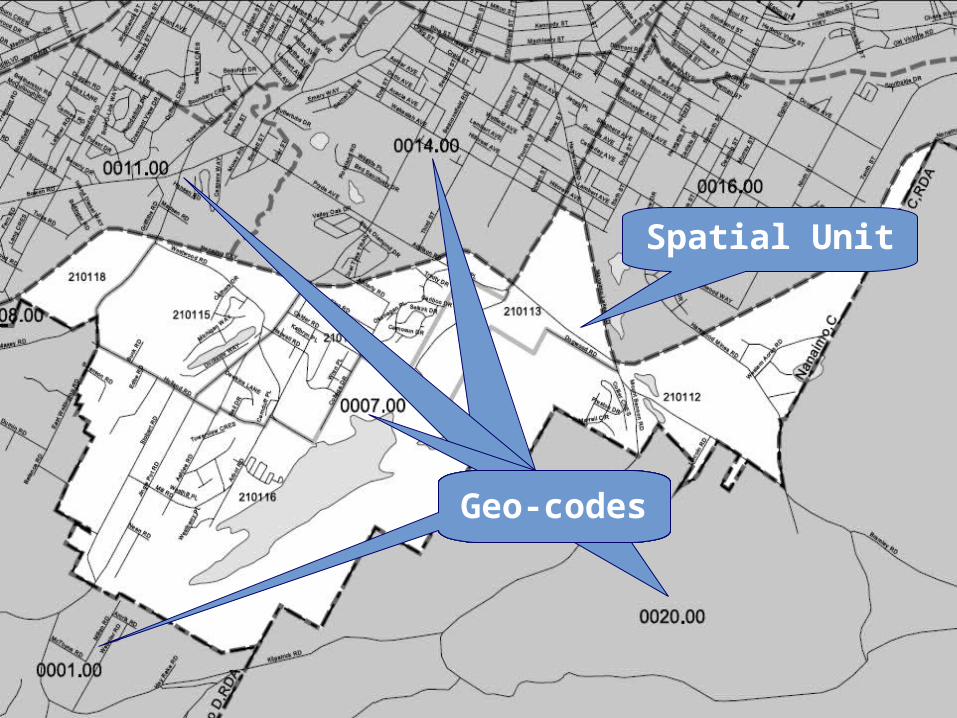
Spatial Unit
Geo-codes
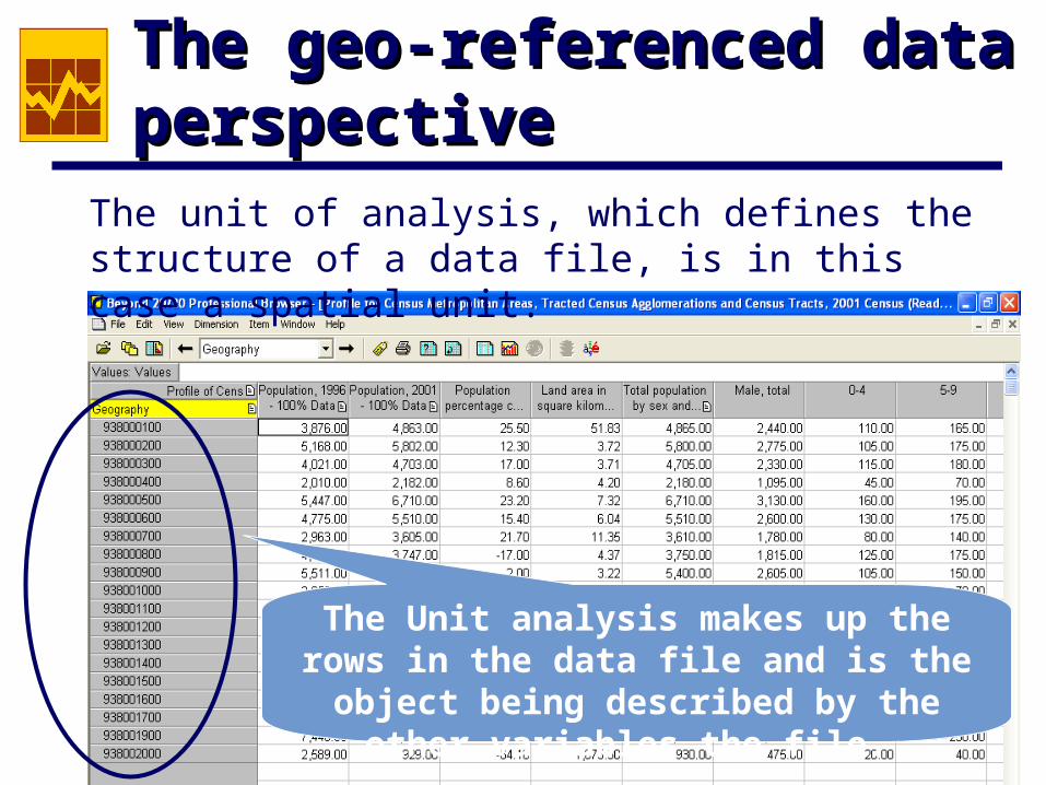
The geo-referenced data The geo-referenced data perspectiveperspective
The unit of analysis, which defines the structure of a data file, is in this case a spatial unit.
The Unit analysis makes up the rows in the data file and is the object being
described by the other variables the file.
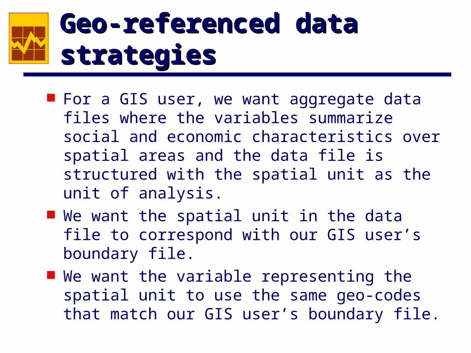
Geo-referenced data strategiesGeo-referenced data strategies
For a GIS user, we want aggregate data files where the variables summarize social and economic characteristics over spatial areas and the data file is structured with the spatial unit as the unit of analysis.
We want the spatial unit in the data file to correspond with our GIS user’s boundary file.
We want the variable representing the spatial unit to use the same geo-codes that match our GIS user’s boundary file.
The CensusThe Census
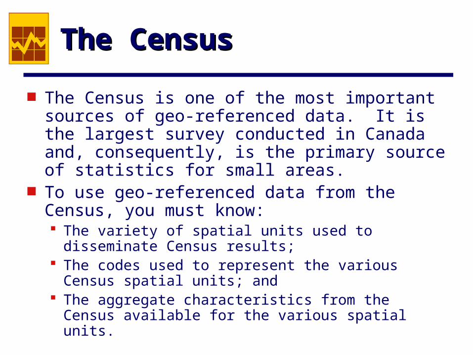
The Census is one of the most important sources of geo-referenced data. It is the largest survey conducted in Canada and, consequently, is the primary source of statistics for small areas.
To use geo-referenced data from the Census, you must know: The variety of spatial units used to disseminate
Census results; The codes used to represent the various Census
spatial units; and The aggregate characteristics from the Census
available for the various spatial units.
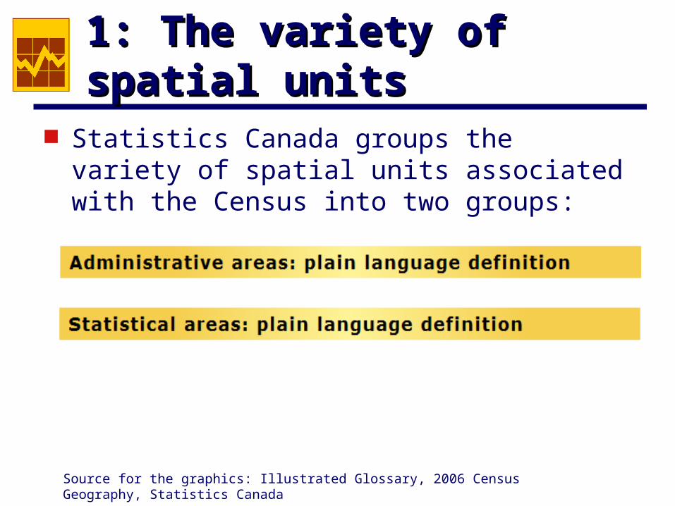
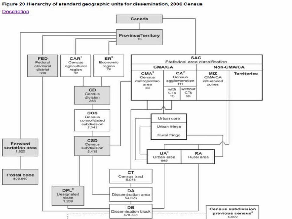
1: The variety of spatial units1: The variety of spatial units
Statistics Canada groups the variety of spatial units associated with the Census into two groups:
Source for the graphics: Illustrated Glossary, 2006 Census Geography, Statistics Canada
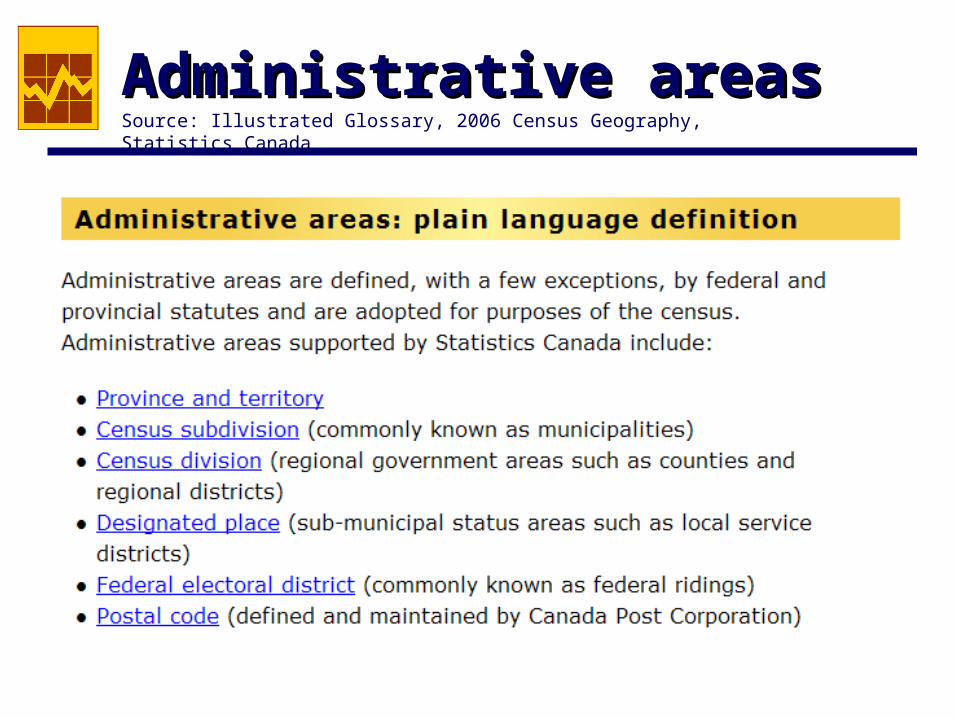
Administrative areasAdministrative areasSource: Illustrated Glossary, 2006 Census Geography, Statistics Canada
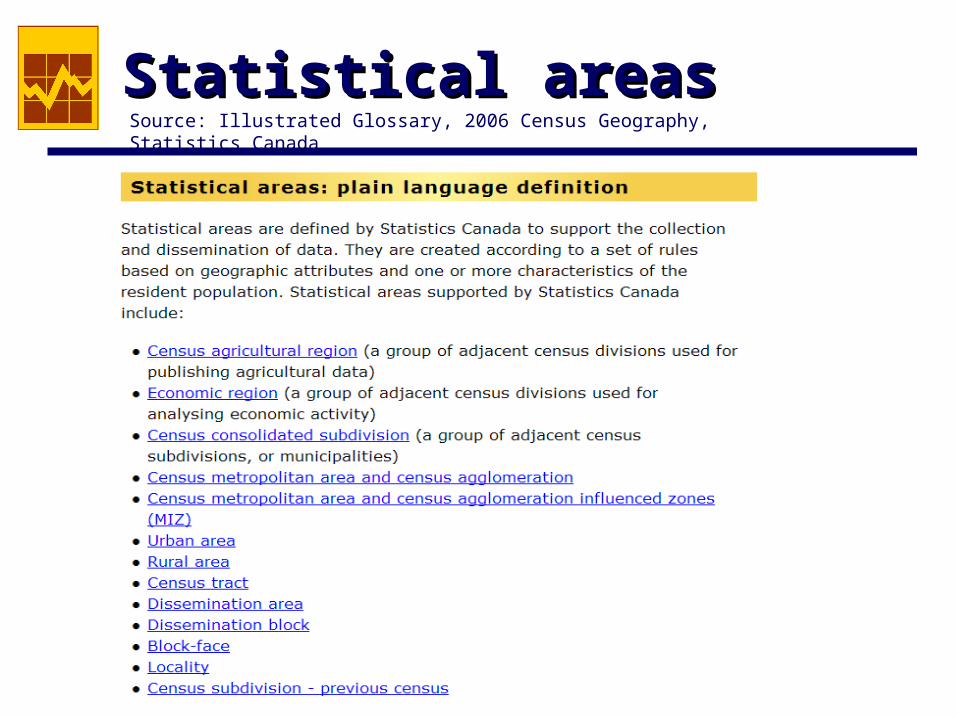
Statistical areasStatistical areasSource: Illustrated Glossary, 2006 Census Geography, Statistics Canada
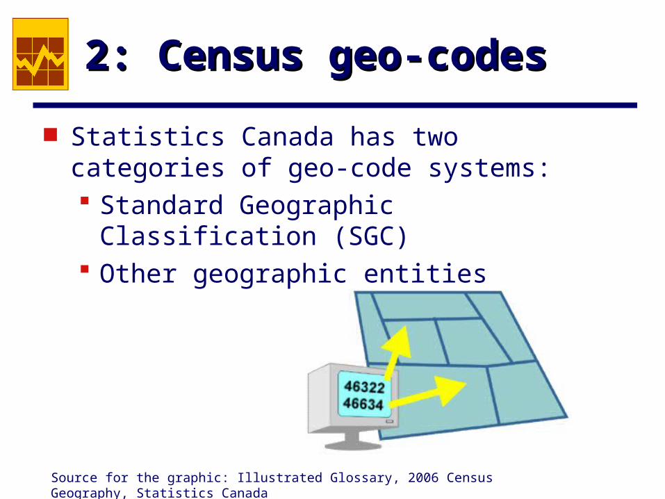
2: Census geo-codes2: Census geo-codes
Statistics Canada has two categories of geo-code systems: Standard Geographic Classification (SGC) Other geographic entities
Source for the graphic: Illustrated Glossary, 2006 Census Geography, Statistics Canada
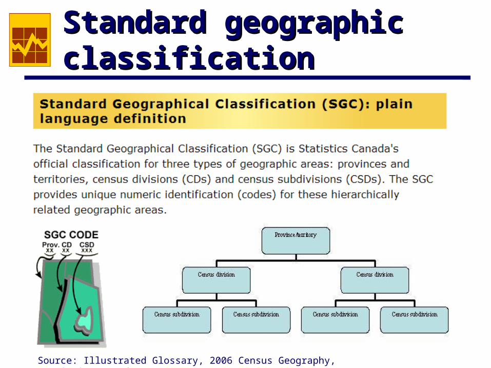
Standard geographic Standard geographic classification classification
Source: Illustrated Glossary, 2006 Census Geography, Statistics Canada
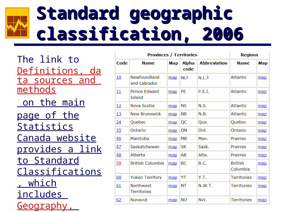
Standard geographic Standard geographic classification, 2006classification, 2006
The link to Definitions, data sources and methods on the main page of the Statistics Canada website provides a link to Standard Classifications, which includes Geography.
Standard geographic Standard geographic classification, 2006classification, 2006
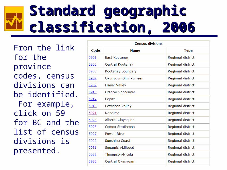
From the link for the province codes, census divisions can be identified. For example, click on 59 for BC and the list of census divisions is presented.
Standard geographic Standard geographic classification, 2006classification, 2006
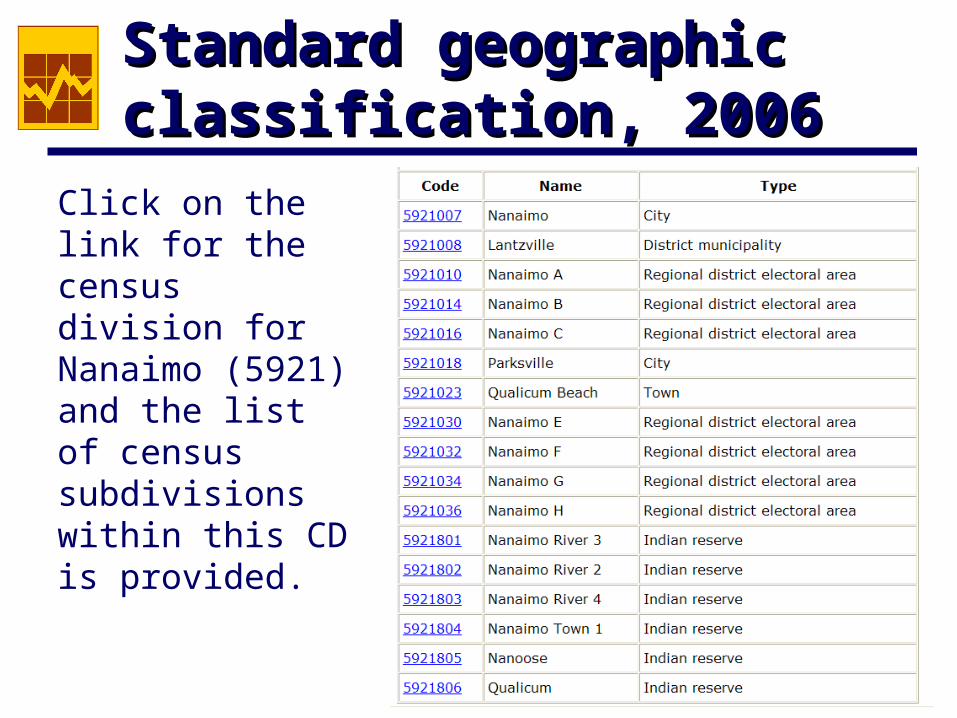
Click on the link for the census division for Nanaimo (5921) and the list of census subdivisions within this CD is provided.
Standard geographic Standard geographic classification, 2006classification, 2006
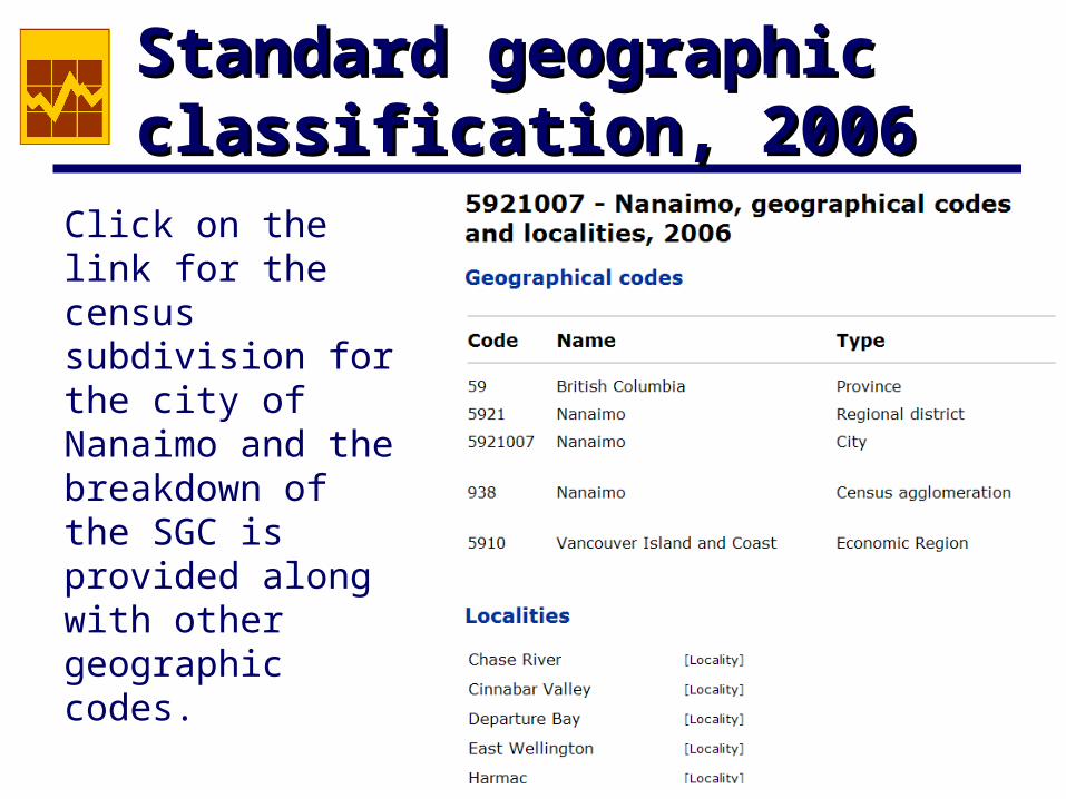
Click on the link for the census subdivision for the city of Nanaimo and the breakdown of the SGC is provided along with other geographic codes.
Other geographic codesOther geographic codes
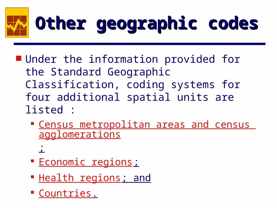
Under the information provided for the Standard Geographic Classification, coding systems for four additional spatial units are listed : Census metropolitan areas and census agglomer
ations;
Economic regions; Health regions; and Countries.
Source: Illustrated Glossary, 2006 Census Geography, Statistics Canada
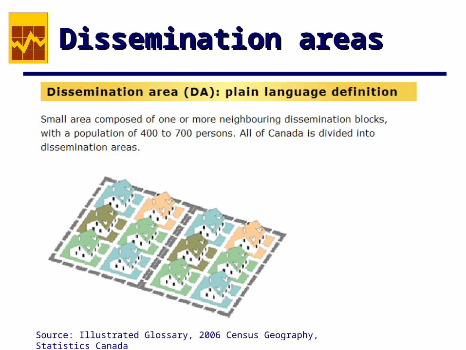
Dissemination areasDissemination areas
Dissemination areasDissemination areas
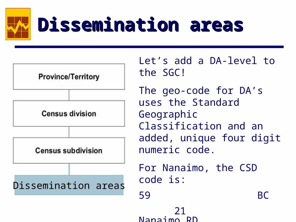
Let’s add a DA-level to the SGC!
The geo-code for DA’s uses the Standard Geographic Classification and an added, unique four digit numeric code.
For Nanaimo, the CSD code is:
59 BC
21 Nanaimo RD
007 Nanaimo City
5921007
Dissemination areas
Dissemination areasDissemination areas
The Census aggregate data at the DA level are available using two different geo-codes schemes (shown on the next slide).
For GIS users working with the spatial data files from the 2001 Census, caution them about these two different geo-coding schemes at the DA level. They will want to use the eight-digit code to be able to work directly with the spatial data files provided by Statistics Canada.
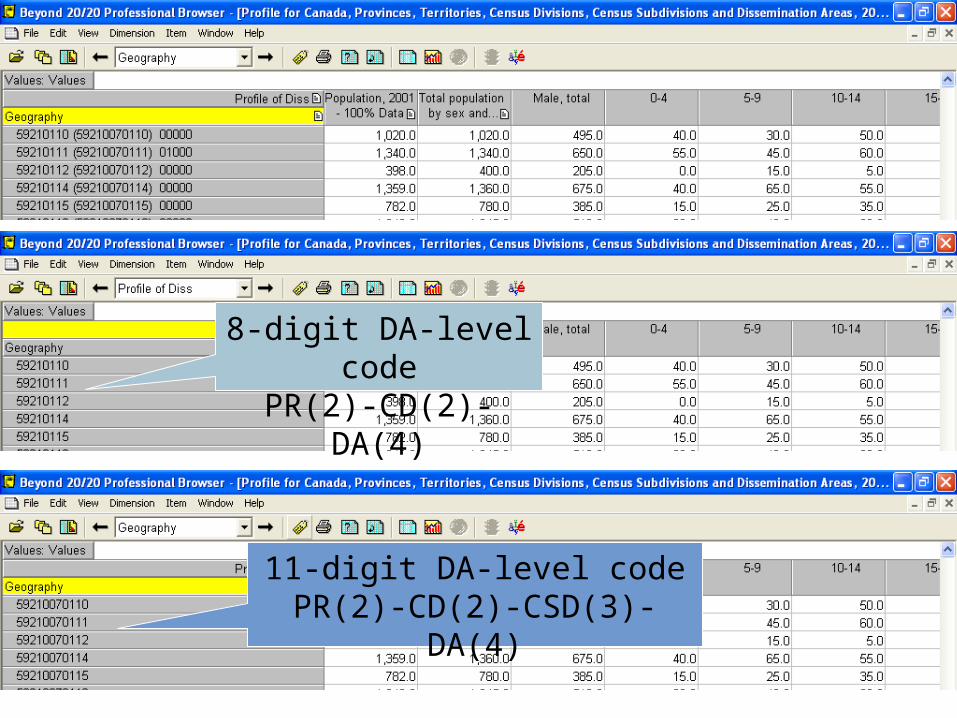
8-digit DA-level codePR(2)-CD(2)-DA(4)
11-digit DA-level codePR(2)-CD(2)-CSD(3)-DA(4)
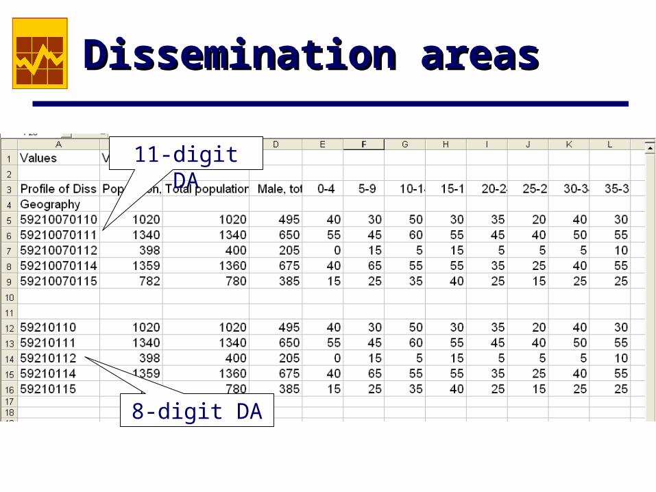
8-digit DA
11-digit DA
Dissemination areasDissemination areas
3: Aggregate characteristics3: Aggregate characteristics
Profile series and basic tabulations Aggregate Census results are disseminated in
two primary products: profile series and basic tabulations.
The Profile series is available at all levels of geography disseminated by Statistics Canada and consists primarily of counts for all the response categories to questions in the 2B form. In 2006, the 2B form consisted of the eight questions asked on the 2A form plus an additional 53 questions. This series is the most frequently used by GIS researchers on our campus.
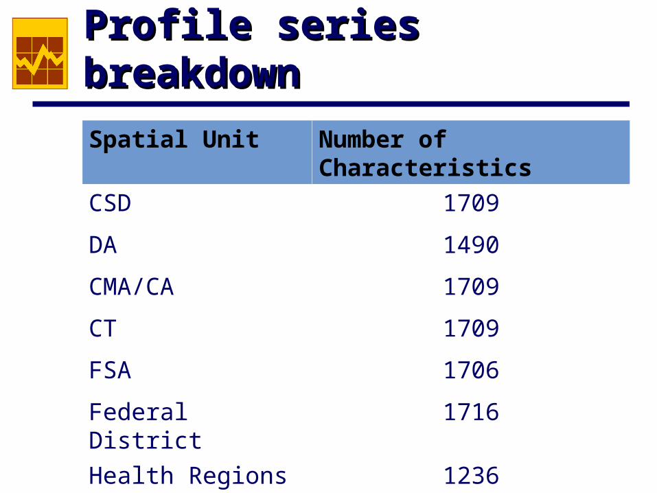
Profile series breakdownProfile series breakdown
Spatial Unit Number of Characteristics
CSD 1709
DA 1490
CMA/CA 1709
CT 1709
FSA 1706
Federal District 1716
Health Regions 1236
Basic tabulationsBasic tabulations
Basic tabulations are n-way tables showing the results for combinations of Census questions. The more the variables included in the table, the higher the level of geography that is reported. Few of these tables are below the CSD, CMA/CT level, although always check. For example, in 2001 Religion (13) by Age (8) is available at the DA level.
Aggregate Census dataAggregate Census data
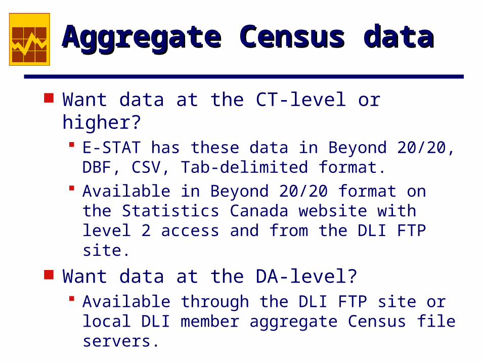
Want data at the CT-level or higher? E-STAT has these data in Beyond 20/20, DBF,
CSV, Tab-delimited format. Available in Beyond 20/20 format on the
Statistics Canada website with level 2 access and from the DLI FTP site.
Want data at the DA-level? Available through the DLI FTP site or local DLI
member aggregate Census file servers.
Other Geo-referenced dataOther Geo-referenced data
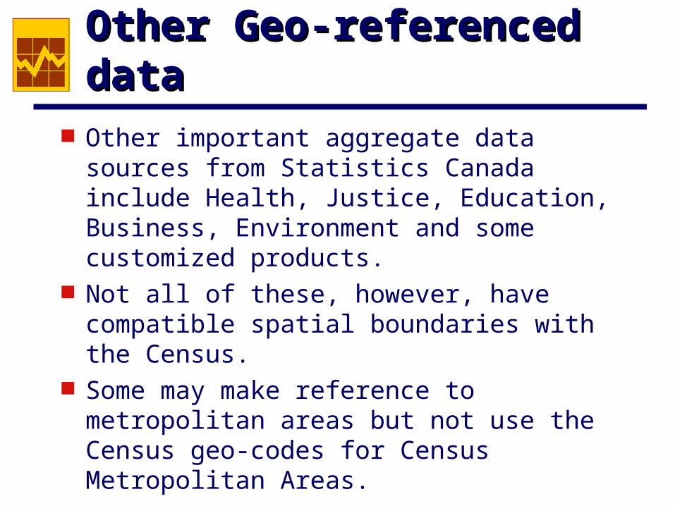
Other important aggregate data sources from Statistics Canada include Health, Justice, Education, Business, Environment and some customized products.
Not all of these, however, have compatible spatial boundaries with the Census.
Some may make reference to metropolitan areas but not use the Census geo-codes for Census Metropolitan Areas.
HealthHealth
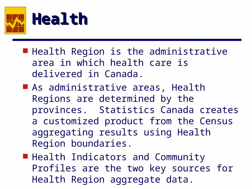
Health Region is the administrative area in which health care is delivered in Canada.
As administrative areas, Health Regions are determined by the provinces. Statistics Canada creates a customized product from the Census aggregating results using Health Region boundaries.
Health Indicators and Community Profiles are the two key sources for Health Region aggregate data.

HealthHealth
CIHI is responsible for disseminating statistics about the health care system at the Health Region level. The CIHI site provides maps without the data for a few indicators. The database, Regional Contextual Information for Health Regions with over 75,000 Population, appears to be the only data source on the CIHI site for Health Regions.
JusticeJustice
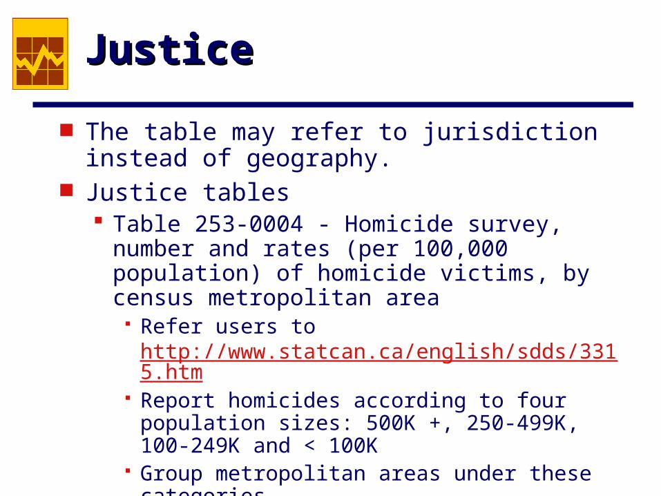
The table may refer to jurisdiction instead of geography.
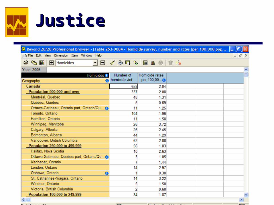
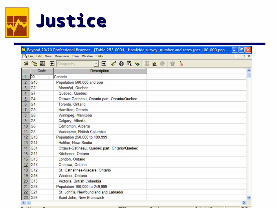
Justice tables Table 253-0004 - Homicide survey, number and
rates (per 100,000 population) of homicide victims, by census metropolitan area
Refer users to http://www.statcan.ca/english/sdds/3315.htm
Report homicides according to four population sizes: 500K +, 250-499K, 100-249K and < 100K
Group metropolitan areas under these categories
JusticeJustice
JusticeJustice
JusticeJustice
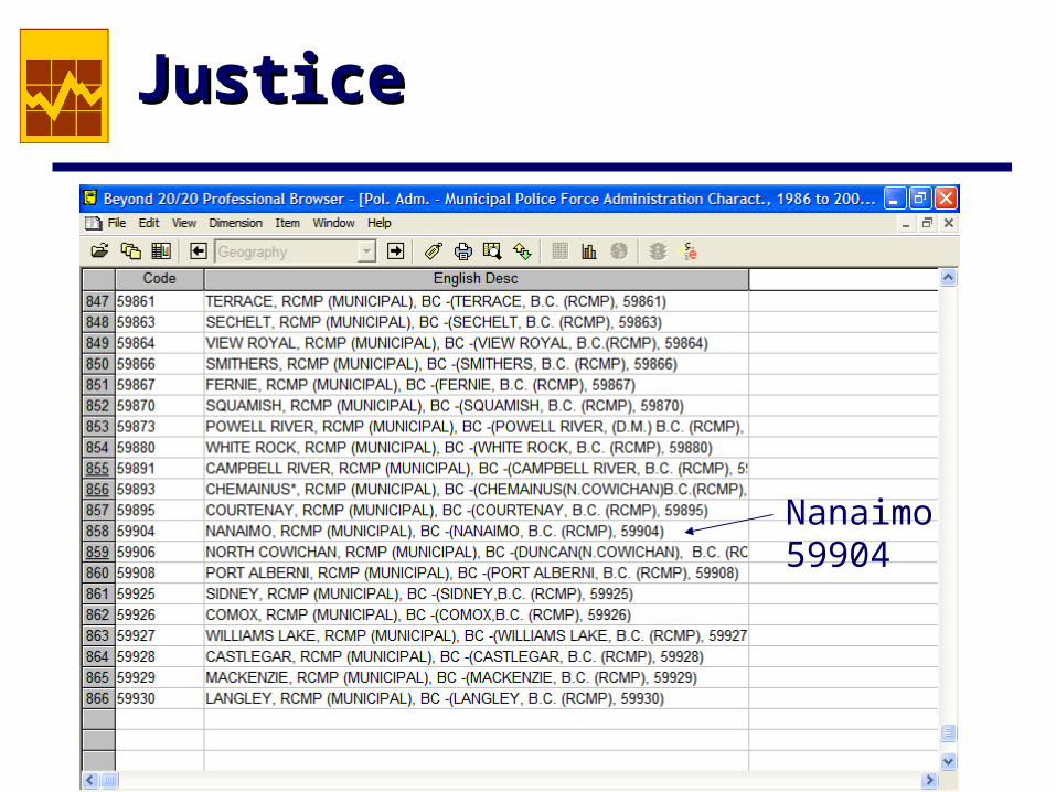
Justice tables Police Administration Survey - Municipal Police
Force Administration Character, 1986 - 2006 866 municipal police force jurisdictions The geo-code for municipalities consist of the
standard geography classification for provinces (2-digit codes) followed by 3-digit codes that don’t correspond to Census geography but do correspond with the Uniform Crime Report police force codes
JusticeJustice
Nanaimo 59904
JusticeJustice
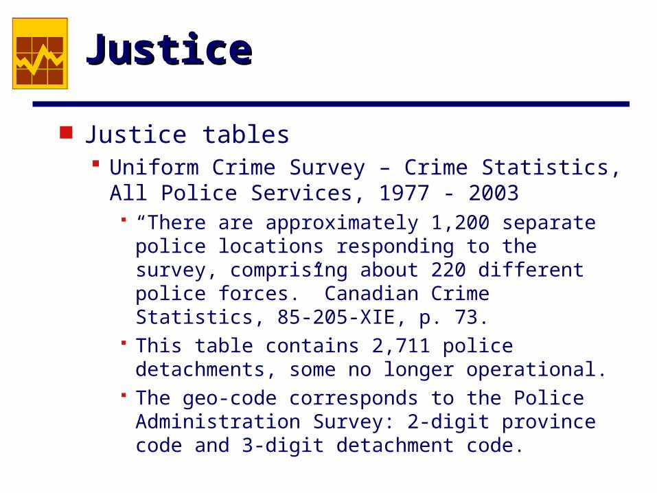
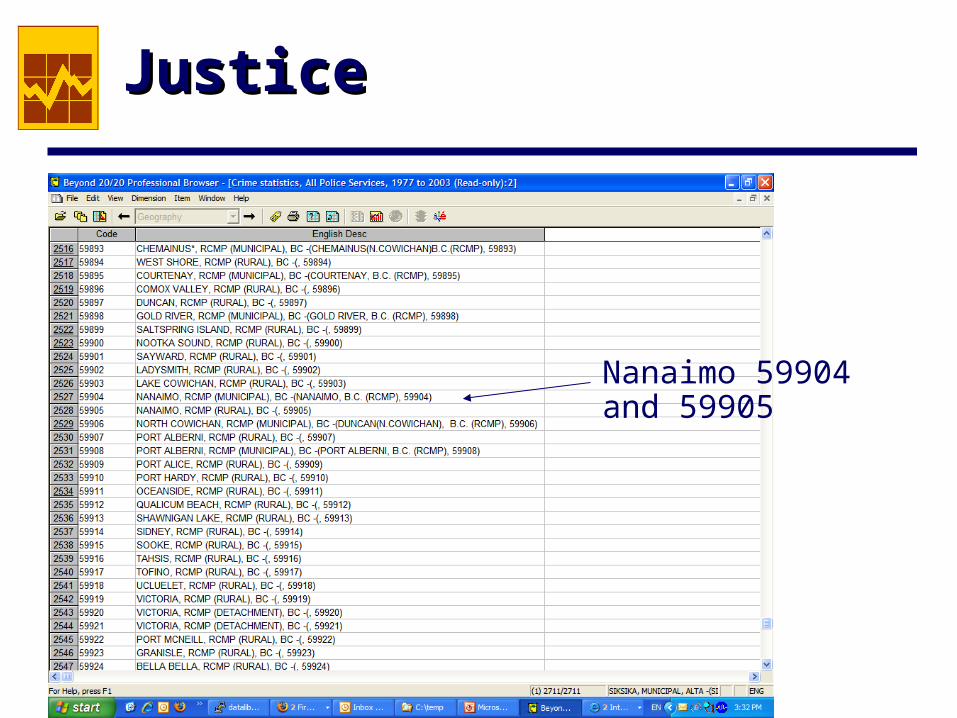
Justice tables Uniform Crime Survey – Crime Statistics, All
Police Services, 1977 - 2003 “There are approximately 1,200 separate police
locations responding to the survey, comprising about 220 different police forces.” Canadian Crime Statistics, 85-205-XIE, p. 73.
This table contains 2,711 police detachments, some no longer operational.
The geo-code corresponds to the Police Administration Survey: 2-digit province code and 3-digit detachment code.
JusticeJustice
Nanaimo 59904 and 59905
EducationEducation
The Education tables on the DLI FTP site provide provincial level summaries and for some post-secondary related tables, institution names are provided. No Census spatial units, other than province, are used among this tables.
The Statistics Canada website contains the Report of the Pan-Canadian Education Indicators Program. Includes the use of CMA and non-CMA reporting for some tables. Names and not geo-codes are used to identify CMA’s.
BusinessBusiness
Canadian Business Patterns reports the number of establishments by industrial classification and size of workforce. These aggregate data are available for CD, CSD and CMA/CA levels of Census geography.
The data also provide a time series at these geographic levels since 1998 for both the NAICS and SIC industry classifications.
CANSIMCANSIM
CANSIM is primarily a time series database but every time series is placed in the context of some level of geography. One can search table titles for geography terms but cannot currently search just the geography field within each series.
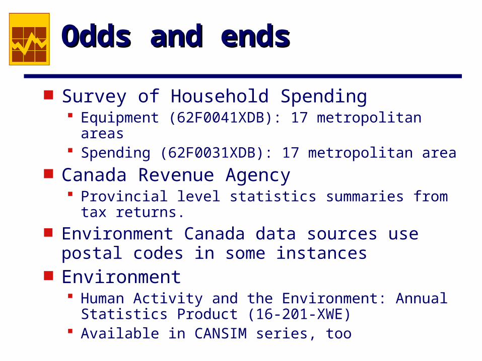
Odds and endsOdds and ends
Survey of Household Spending Equipment (62F0041XDB): 17 metropolitan areas Spending (62F0031XDB): 17 metropolitan area
Canada Revenue Agency Provincial level statistics summaries from tax
returns. Environment Canada data sources use postal
codes in some instances Environment
Human Activity and the Environment: Annual Statistics Product (16-201-XWE)
Available in CANSIM series, too