Embed Size (px)
Citation preview
10 Things to Do to Prepare for...
GCSE GeographyCommissioned by GCSEPod.
This resource is strictly for the use of schools, teachers, students and parents and may not be sold. It may be freely downloaded for the purposes of teaching and study during the coronavirus pandemic and until such time that GCSEPod decides. All opinions and contributions are those of the authors. The contents of this resource are not connected with, or endorsed by, any other company, organisation or institution. All rights reserved.
To find out more about subscribing to GCSEPod with access to hundreds of resources for teachers, students and parents please go to www.gcsepod.com
April 2020
1
www.gcsepod.com | +44 191 338 7830 | [email protected]
Activities
1. Physical (natural) processesCan you name the key physical processes, and explain how they shape the landscape?
To do this you can draw sets of diagrams that illustrate these processes. Focus particularly on processes that might act on coastlines, rivers and in mountainous areas.
Can you extend this knowledge to include descriptions of the landforms these processes create?
2. LandformsOur planet has a wonderful range of awe-inspiring landforms that give rise to varied landscapes.
Can you identify a number of landforms that are found at the coast or in river valleys? To help you with this, find an image of a landscape then label the natural landforms / features that you can see.
Can you extend this to landforms found in either hot deserts or cold environments?
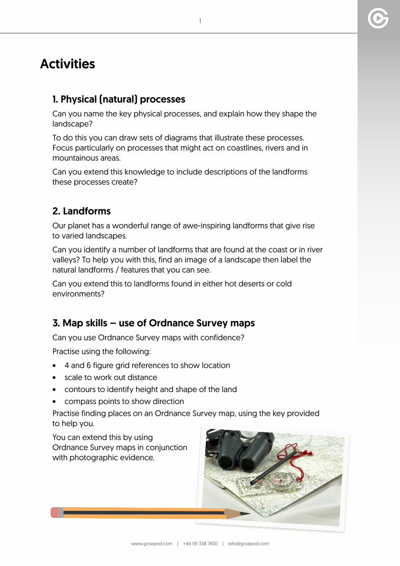
3. Map skills – use of Ordnance Survey mapsCan you use Ordnance Survey maps with confidence?
Practise using the following:
• 4 and 6 figure grid references to show location• scale to work out distance• contours to identify height and shape of the land • compass points to show directionPractise finding places on an Ordnance Survey map, using the key provided to help you.
You can extend this by using Ordnance Survey maps in conjunction with photographic evidence.
2
www.gcsepod.com | +44 191 338 7830 | [email protected]
4. Geographical calculations When studying Geography, you will sometimes be asked to interpret data.
To do this effectively you need to be able to work out mean, mode and median. Practise using mean, mode and median to interpret geographical data.
Can you extend this and work out interquartile range (IQR)?
5. The global atmospheric circulation model Can you find out what the global atmospheric circulation model is?
Explain how the global atmospheric circulation model links to deserts, tropical rainforests and tropical storms.
To extend this, explain the global atmospheric circulation model to someone else.
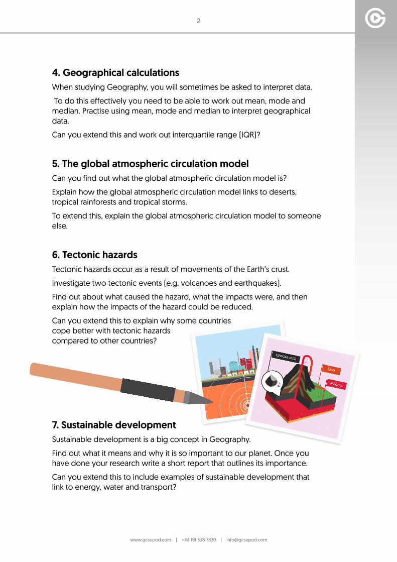
6. Tectonic hazards Tectonic hazards occur as a result of movements of the Earth’s crust.
Investigate two tectonic events (e.g. volcanoes and earthquakes).
Find out about what caused the hazard, what the impacts were, and then explain how the impacts of the hazard could be reduced.
Can you extend this to explain why some countries cope better with tectonic hazards compared to other countries?
7. Sustainable developmentSustainable development is a big concept in Geography.
Find out what it means and why it is so important to our planet. Once you have done your research write a short report that outlines its importance.
Can you extend this to include examples of sustainable development that link to energy, water and transport?
3
www.gcsepod.com | +44 191 338 7830 | [email protected]
8. High Income Countries and Low Income Countries Countries vary in lots of ways, one way is their level of economic development. Gross National Income (GNI) is a measure of how wealthy countries are, can you find out other ways to measure development?
Can you extend this to give examples of countries that are at differing levels of development?
9. CitiesUrbanisation is the process by which more people are living in cities.
Name 7 large global cities, then describe their location, identify 3 characteristics of each city and explain why the city is growing.
To extend this - find out what megacities are.
10. The UKIt is important that geographers understand their local area.
Summarise the characteristics of an area you are familiar with. Can you describe the location, climate, natural features, land use, transport, people, landmarks, culture and traditions?
Can you extend this by investigating the UK North-South Divide? Does it exist?