Embed Size (px)
Citation preview
Four Major Regionsof
Texas
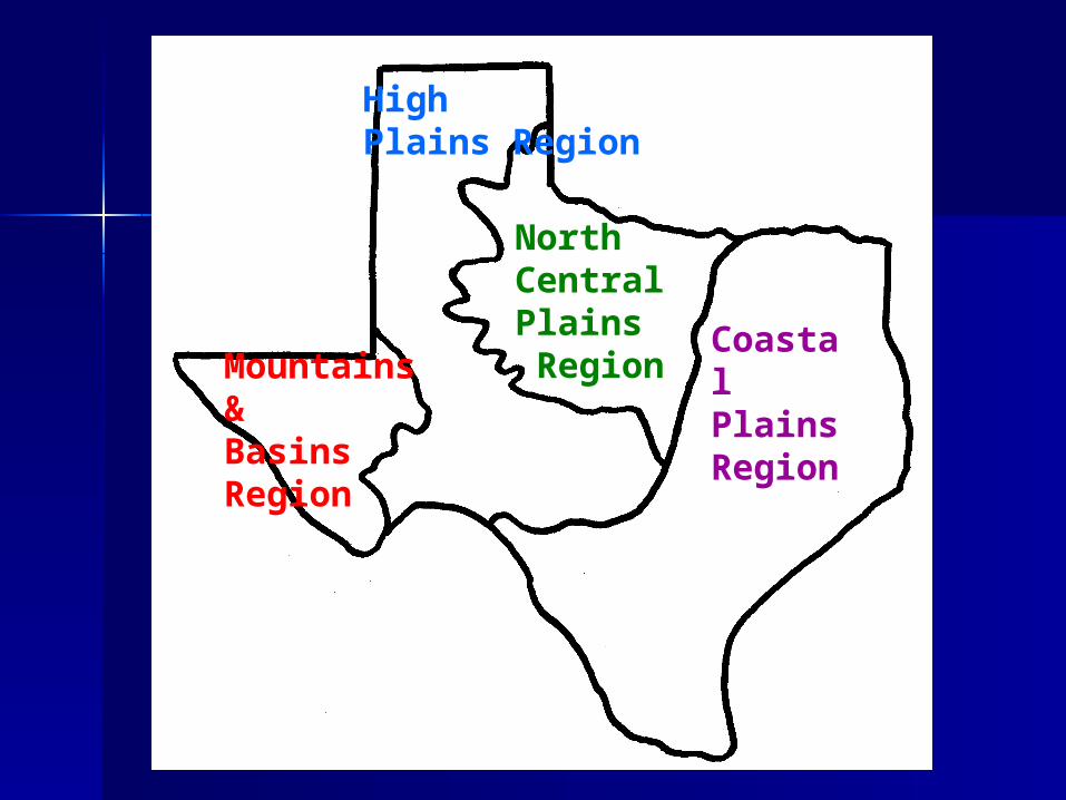
CoastalPlainsRegion
North CentralPlains Region
HighPlains Region
Mountains &Basins Region
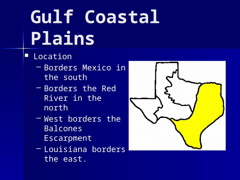
Gulf Coastal Plains Location
– Borders Mexico in the south
– Borders the Red River in the north
– West borders the Balcones Escarpment
– Louisiana borders the east.
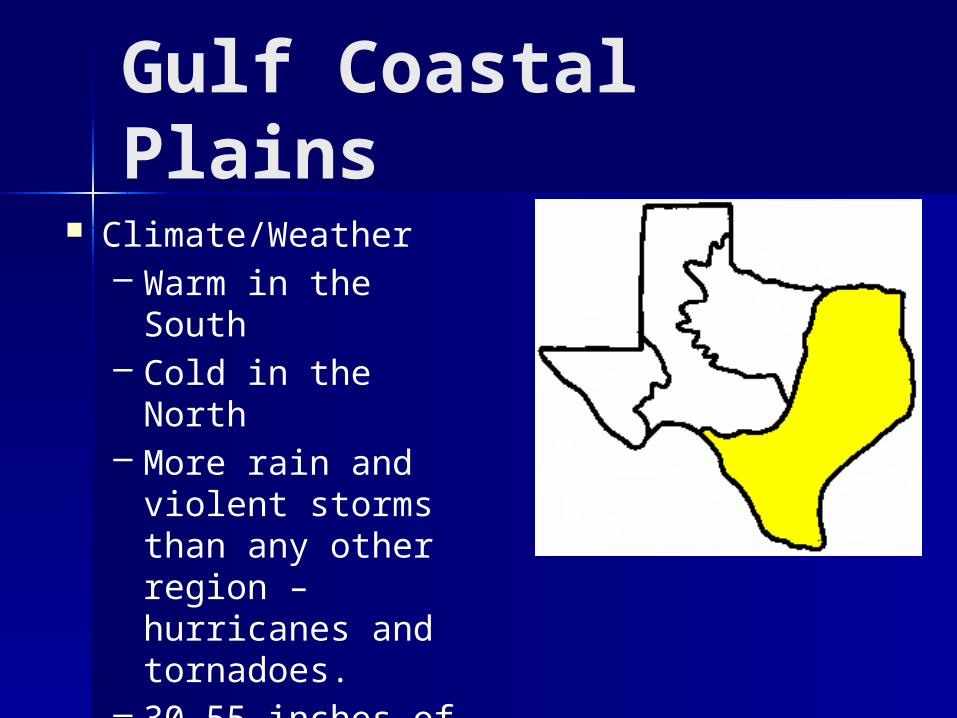
Gulf Coastal Plains Climate/Weather
– Warm in the South– Cold in the North– More rain and
violent storms than any other region – hurricanes and tornadoes.
– 30-55 inches of rainfall a year
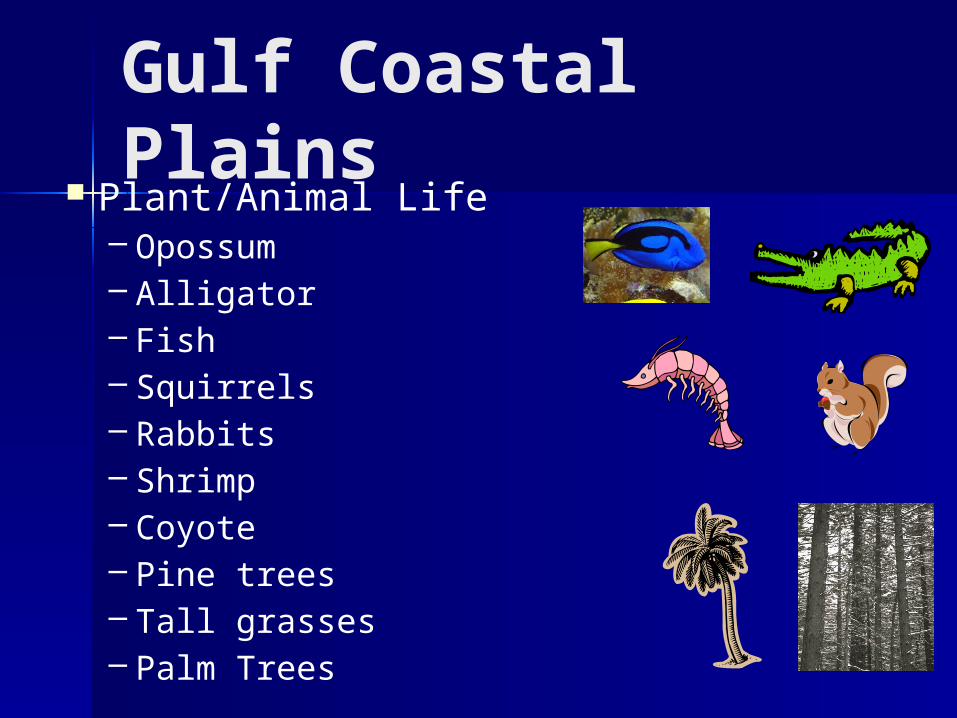
Gulf Coastal Plains Plant/Animal Life
– Opossum– Alligator– Fish– Squirrels– Rabbits– Shrimp– Coyote– Pine trees– Tall grasses– Palm Trees

Gulf Coastal Plains Main Agriculture
– Timber, dairy, cattle, hogs, poultry, grain sorghum, cotton, corn, peanuts, roses, fruits, hay, fish, sheep, wheat, vegetables, rice, citrus, and shrimp
Natural Resources– People, lots of rain,
rivers, trees and paper mills, chemical plants, ports, and oil
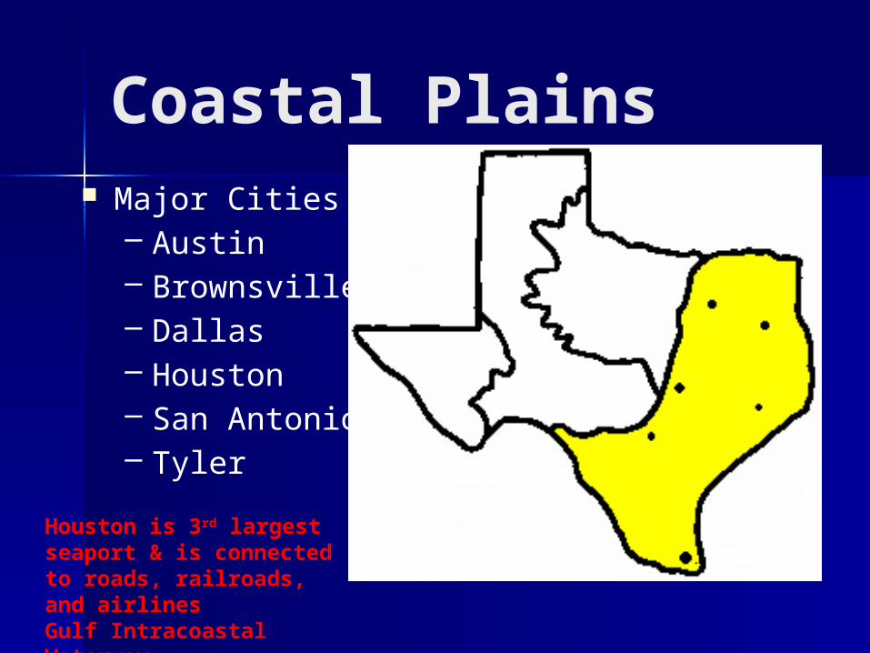
Coastal Plains Major Cities
– Austin– Brownsville– Dallas– Houston– San Antonio– Tyler
DallasTyler
Austin Housto
n
San Antonio
BrownsvilleHouston is 3rd largest seaport & is connected to roads, railroads, and airlinesGulf Intracoastal Waterway
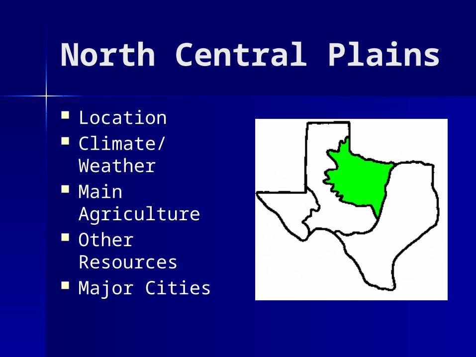
North Central Plains
Location Climate/Weather Main Agriculture Other Resources Major Cities
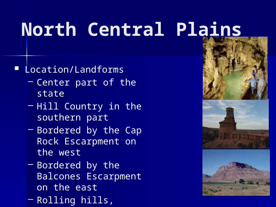
North Central Plains
Location/Landforms– Center part of the state– Hill Country in the
southern part– Bordered by the Cap
Rock Escarpment on the west
– Bordered by the Balcones Escarpment on the east
– Rolling hills, caves, plains and mesas.
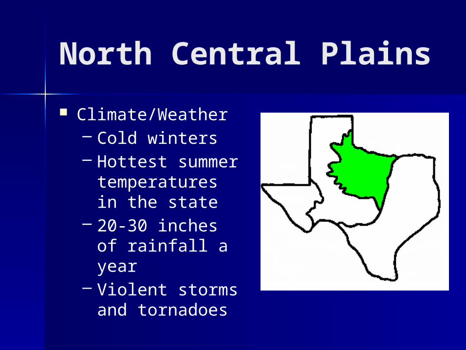
North Central Plains
Climate/Weather– Cold winters– Hottest summer
temperatures in the state
– 20-30 inches of rainfall a year
– Violent storms and tornadoes
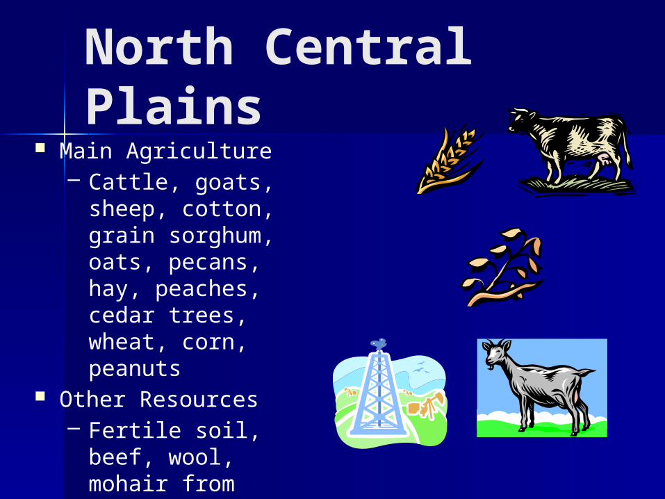
North Central Plains
Main Agriculture– Cattle, goats,
sheep, cotton, grain sorghum, oats, pecans, hay, peaches, cedar trees, wheat, corn, peanuts
Other Resources– Fertile soil, beef,
wool, mohair from angora goats, oil in some areas
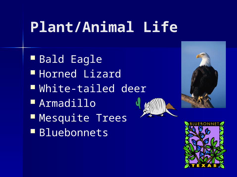
Plant/Animal Life
Bald Eagle Horned Lizard White-tailed deer Armadillo Mesquite Trees Bluebonnets
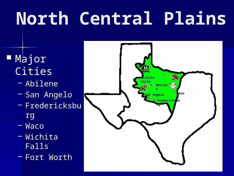
North Central Plains
Major Cities– Abilene– San Angelo– Fredericksbur
g– Waco– Wichita Falls– Fort Worth
Wichita Falls
Abilene
San Angelo
Fredericksburg
Waco
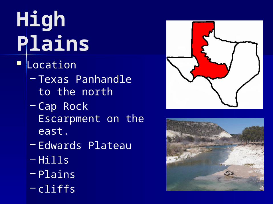
High Plains Location
– Texas Panhandle to the north
– Cap Rock Escarpment on the east.
– Edwards Plateau– Hills– Plains– cliffs
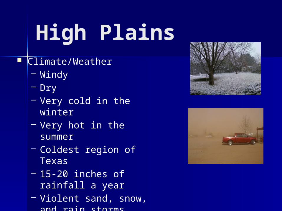
High Plains Climate/Weather
– Windy– Dry– Very cold in the winter– Very hot in the summer– Coldest region of Texas– 15-20 inches of rainfall
a year– Violent sand, snow, and
rain storms
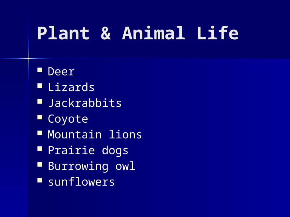
Plant & Animal Life
Deer Lizards Jackrabbits Coyote Mountain lions Prairie dogs Burrowing owl sunflowers
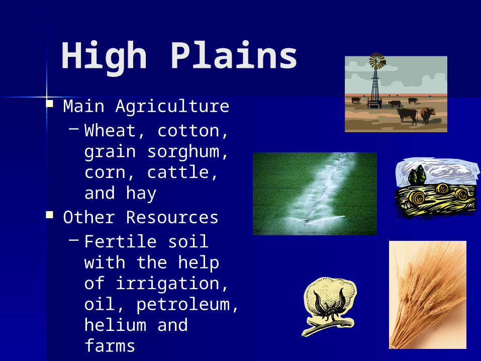
High Plains Main Agriculture
– Wheat, cotton, grain sorghum, corn, cattle, and hay
Other Resources– Fertile soil with
the help of irrigation, oil, petroleum, helium and farms
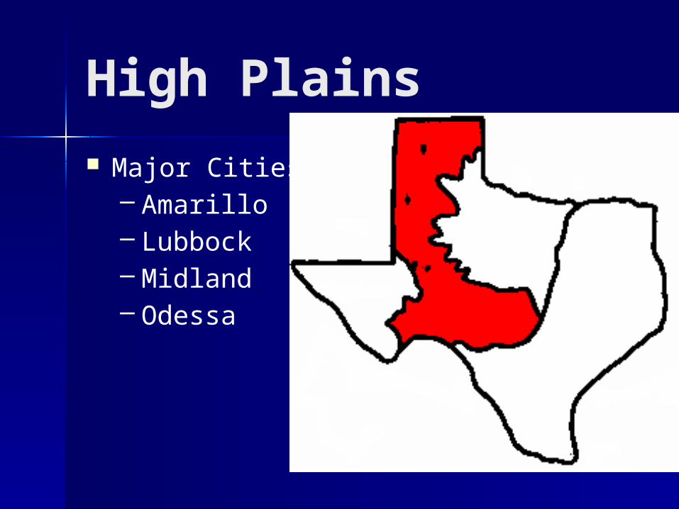
High Plains
Major Cities– Amarillo– Lubbock– Midland– Odessa
Amarillo
Lubbock
Midland
Odessa
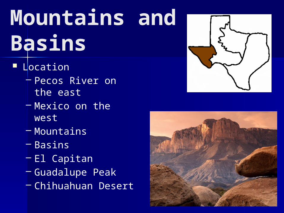
Mountains and Basins Location
– Pecos River on the east
– Mexico on the west– Mountains– Basins– El Capitan– Guadalupe Peak– Chihuahuan Desert
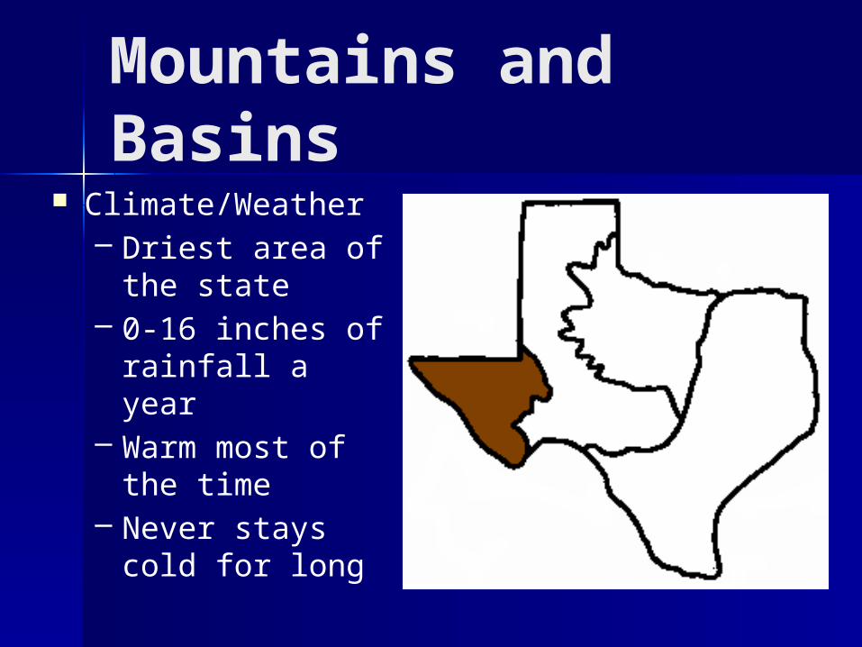
Mountains and Basins
Climate/Weather– Driest area of
the state– 0-16 inches of
rainfall a year– Warm most of
the time– Never stays cold
for long
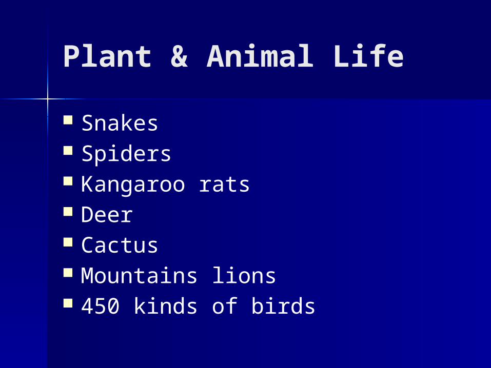
Plant & Animal Life
Snakes Spiders Kangaroo rats Deer Cactus Mountains lions 450 kinds of birds
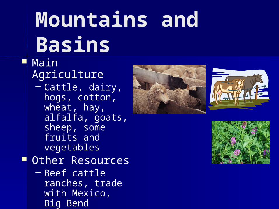
Mountains and Basins
Main Agriculture– Cattle, dairy,
hogs, cotton, wheat, hay, alfalfa, goats, sheep, some fruits and vegetables
Other Resources– Beef cattle
ranches, trade with Mexico, Big Bend National Park
Mountains and Basins
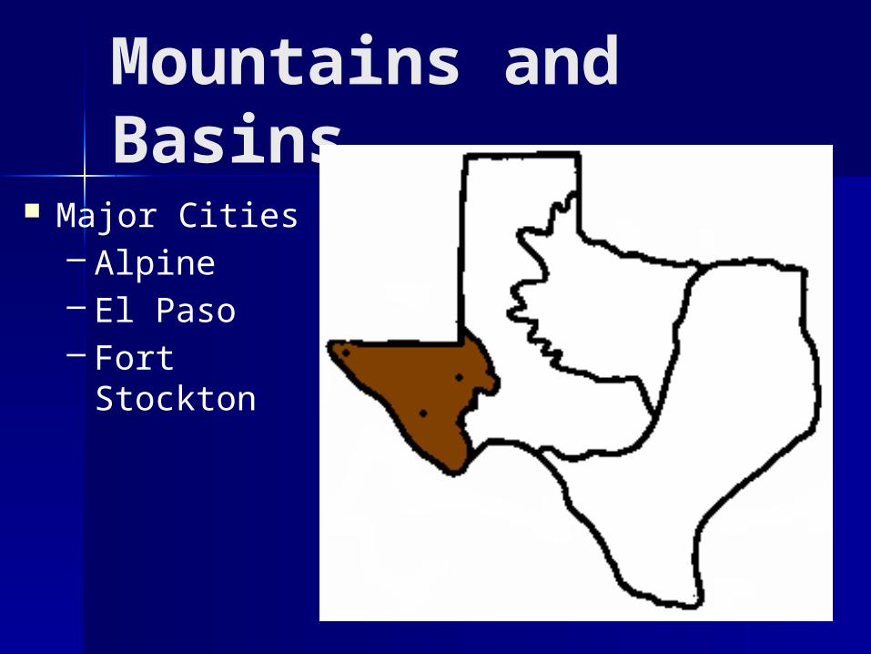
Major Cities– Alpine– El Paso– Fort Stockton El Paso
Alpine
Fort Stockton
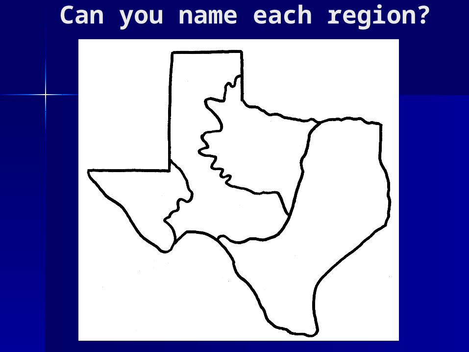
Can you name each region?