Embed Size (px)
Citation preview
Fifty Years of Operational Fifty Years of Operational
Environmental Satellites: Environmental Satellites:
The U.S. ExperienceThe U.S. Experience
Mr. Charles Baker
Deputy Assistant Administrator for Satellite and Information Services
U.S. National Oceanic and Atmospheric Administration1
United Nations Committee on the Peaceful Uses of Outer Space
Vienna, Austria
June 15, 2010
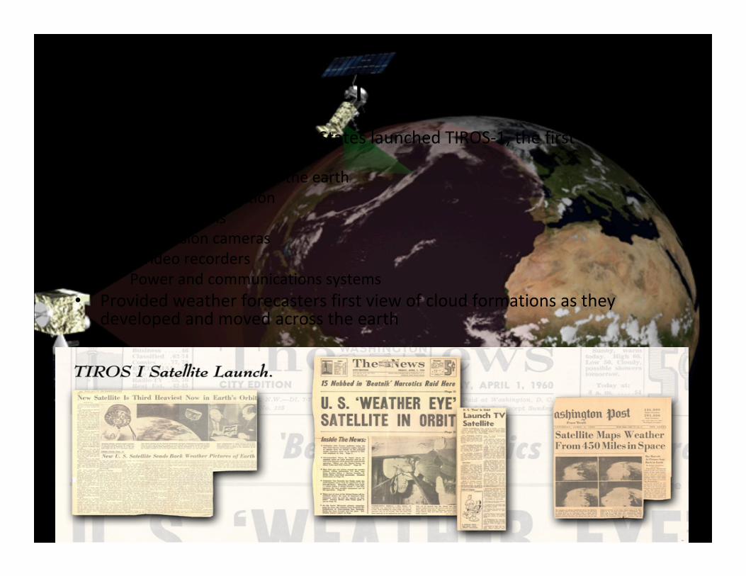
The Launch of TIROS-1• On April 1, 1960, the United States launched TIROS-1, the first
environmental satellite– Orbit 450 miles above the earth
– 50 degree inclination
– 122 kilograms
– 2 television cameras
– 2 video recorders
– Power and communications systems
• Provided weather forecasters first view of cloud formations as they developed and moved across the earth
2
Fifty Years of Environmental Satellites
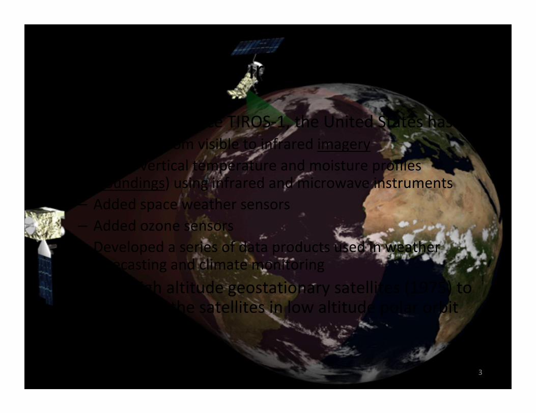
• In the 50 years since TIROS-1, the United States has:
– Expanded from visible to infrared imagery
– Added vertical temperature and moisture profiles (soundings) using infrared and microwave instruments
– Added space weather sensors
– Added ozone sensors
– Developed a series of data products used in weather forecasting and climate monitoring
• Fielded high altitude geostationary satellites (1975) to complement the satellites in low altitude polar orbit
3
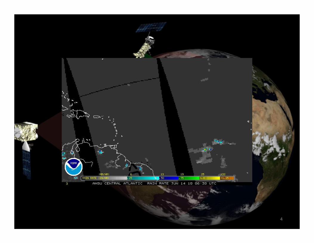
Polar Orbiting Satellites Today
4
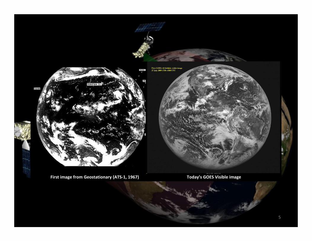
Evolution of Geostationary Satellites
First image from Geostationary (ATS-1, 1967) Today’s GOES Visible image
5
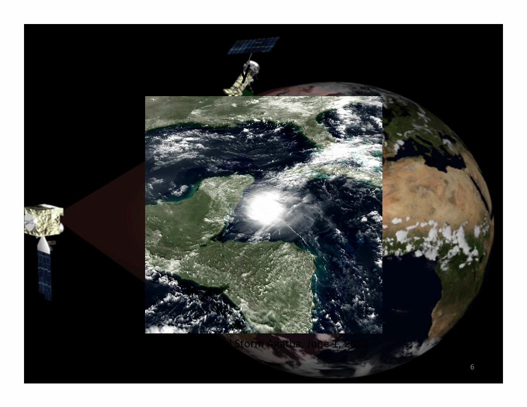
Geostationary Satellites Today
6
GOES-13: Tropical Storm Agatha, June 1, 2010
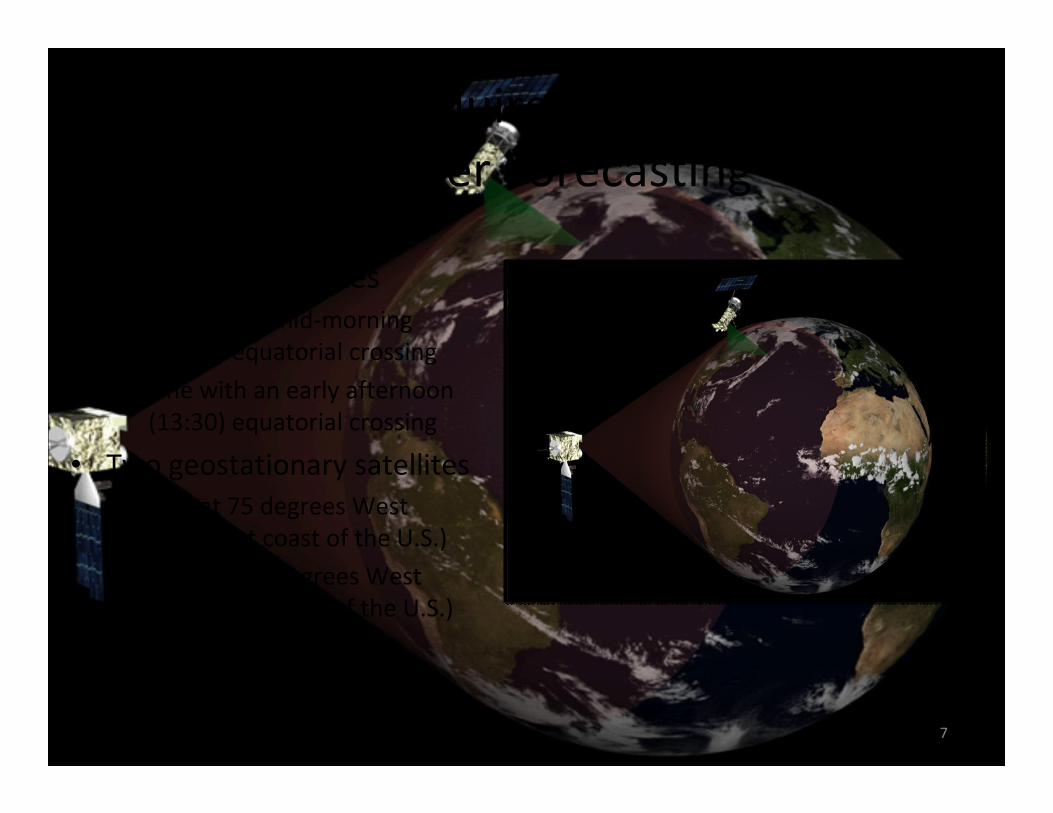
Satellite Requirements for U.S.
Weather Forecasting
• Two polar satellites
– One with a mid-morning
(09:30) equatorial crossing
– One with an early afternoon
(13:30) equatorial crossing
• Two geostationary satellites
– One at 75 degrees West
(over east coast of the U.S.)
– One at 135 degrees West
(over west coast of the U.S.)
7
Challenge of Maintaining Continuity
of Satellite Observations
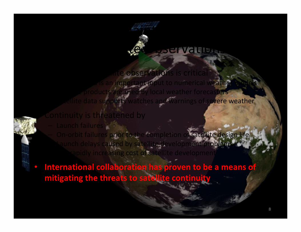
• Continuity of satellite observations is critical– Satellite data is an important input to numerical weather models
– Satellite products are used by local weather forecasters
– Satellite data supports watches and warnings of severe weather
• Continuity is threatened by– Launch failures
– On-orbit failures prior to the completion of satellite design life
– Launch delays caused by satellite development problems
– The rapidly increasing cost of satellite development
• International collaboration has proven to be a means of
mitigating the threats to satellite continuity
8
U.S.-European Geostationary
Cooperation
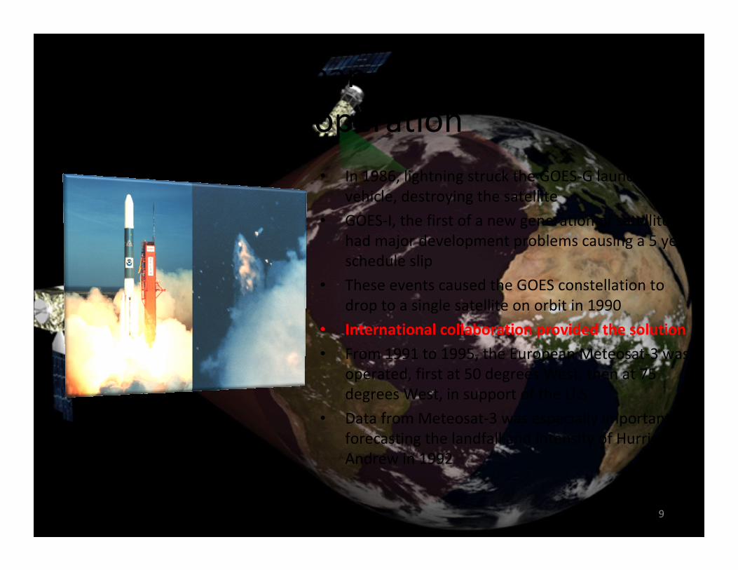
• In 1986, lightning struck the GOES-G launch
vehicle, destroying the satellite
• GOES-I, the first of a new generation of satellites,
had major development problems causing a 5 year
schedule slip
• These events caused the GOES constellation to
drop to a single satellite on orbit in 1990
• International collaboration provided the solution
• From 1991 to 1995, the European Meteosat-3 was
operated, first at 50 degrees West, then at 75
degrees West, in support of the U.S.
• Data from Meteosat-3 was especially important in
forecasting the landfall and intensity of Hurricane
Andrew in 1992
9
Credit: NOAA Photo Library
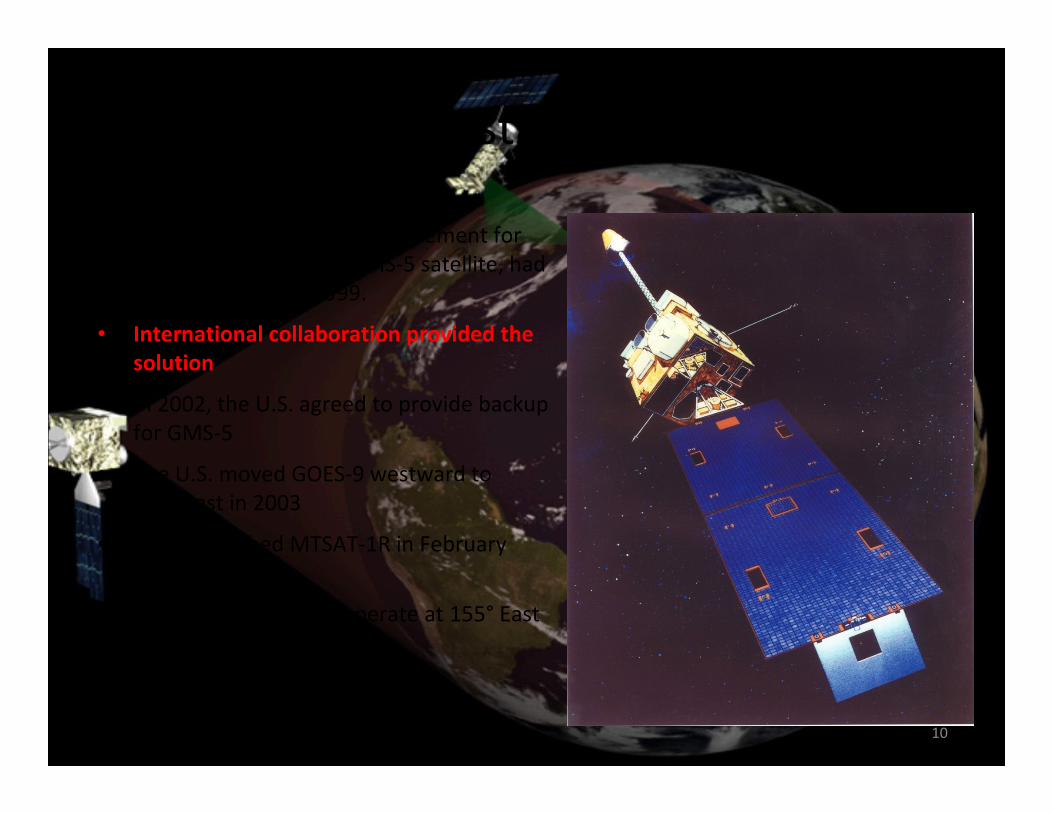
U.S.-Japanese Geostationary Cooperation
• MTSAT-1, the intended replacement for
Japan’s geostationary GMS-5 satellite, had
a launch failure in 1999.
• International collaboration provided the
solution
• In 2002, the U.S. agreed to provide backup
for GMS-5
• The U.S. moved GOES-9 westward to
155° East in 2003
• Japan launched MTSAT-1R in February
2005
• GOES-9 continued to operate at 155° East
until November 2005
NOAA GOES-9
10
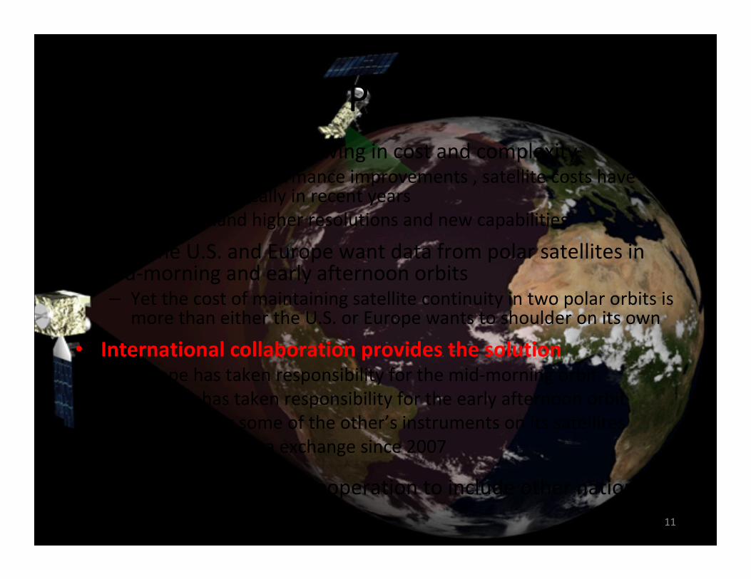
U.S.-European Polar Cooperation
11
• Satellites have been growing in cost and complexity– Even with no performance improvements , satellite costs have
grown dramatically in recent years
– Users demand higher resolutions and new capabilities
• Both the U.S. and Europe want data from polar satellites in mid-morning and early afternoon orbits– Yet the cost of maintaining satellite continuity in two polar orbits is
more than either the U.S. or Europe wants to shoulder on its own
• International collaboration provides the solution– Europe has taken responsibility for the mid-morning orbit
– The U.S. has taken responsibility for the early afternoon orbit
– Each is flying some of the other’s instruments on its satellites
– Full two-way data exchange since 2007
• Plans to expand polar cooperation to include other nations
OSTM/Jason 2X
X
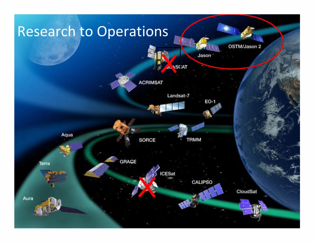
Research to Operations
Other Satellite Collaboration
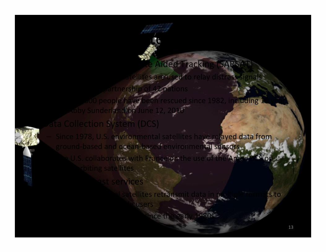
• Search and Rescue Satellite Aided Tracking (SARSAT)
– U.S. environmental satellites are used to relay distress signals
– Multinational partnership of 42 nations
– Over 28,000 people have been rescued since 1982, including 16 year
old Abby Sunderland on June 12, 2010
• Data Collection System (DCS)
– Since 1978, U.S. environmental satellites have relayed data from
ground-based and ocean-based environmental sensors
– The U.S. collaborates with France on the use of the Argos DCS on
polar-orbiting satellites
• Direct broadcast services
– U.S. environmental satellites retransmit data in multiple formats to
hundreds of worldwide users
– Multinational partnership since the early 1980s
13
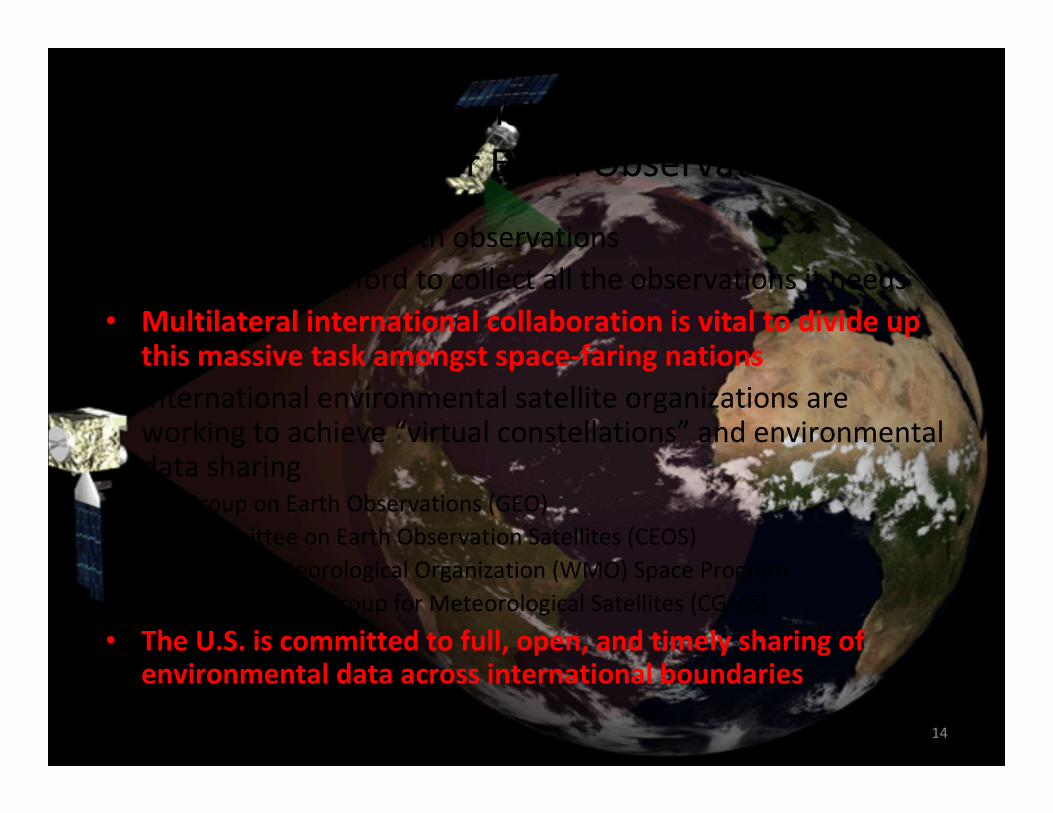
Multilateral International Collaboration
is Essential for Earth Observations
• Growing need for Earth observations
• No nation can afford to collect all the observations it needs
• Multilateral international collaboration is vital to divide up this massive task amongst space-faring nations
• International environmental satellite organizations are working to achieve “virtual constellations” and environmental data sharing– Group on Earth Observations (GEO)
– Committee on Earth Observation Satellites (CEOS)
– World Meteorological Organization (WMO) Space Program
– Coordination Group for Meteorological Satellites (CGMS)
• The U.S. is committed to full, open, and timely sharing of environmental data across international boundaries
14