Embed Size (px)
Citation preview
Field Accuracy Test of RPAS Photogrammetry
P. Barry, R. Coakley
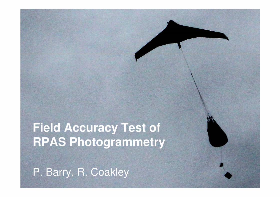
Overview:
We compared the accuracy of geospatial
data derived from a RPAS and an RTK GPS
Aim: To understand the mapping
applications RPAS can deployed for
Objective: By the end of our survey test we
were able to list the horizontal and vertical
accuracies achieved by RPAS
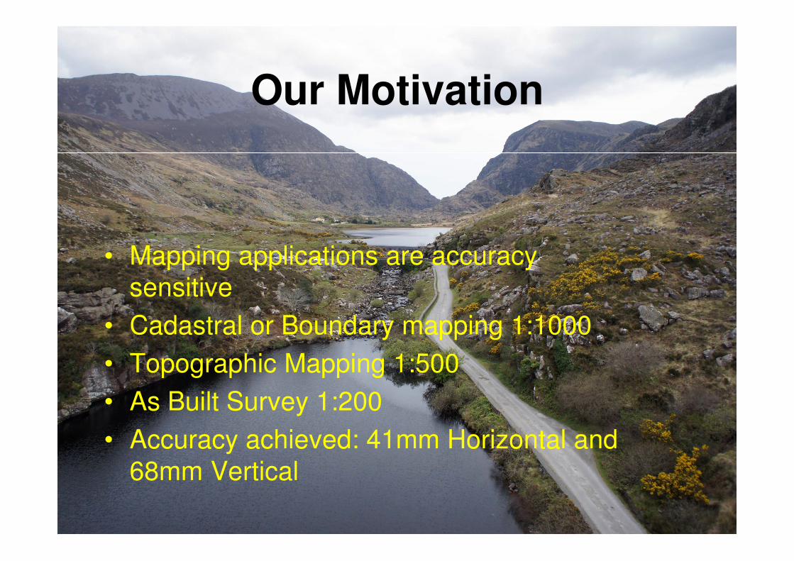
Our Motivation
• Mapping applications are accuracy
sensitive
• Cadastral or Boundary mapping 1:1000
• Topographic Mapping 1:500
• As Built Survey 1:200
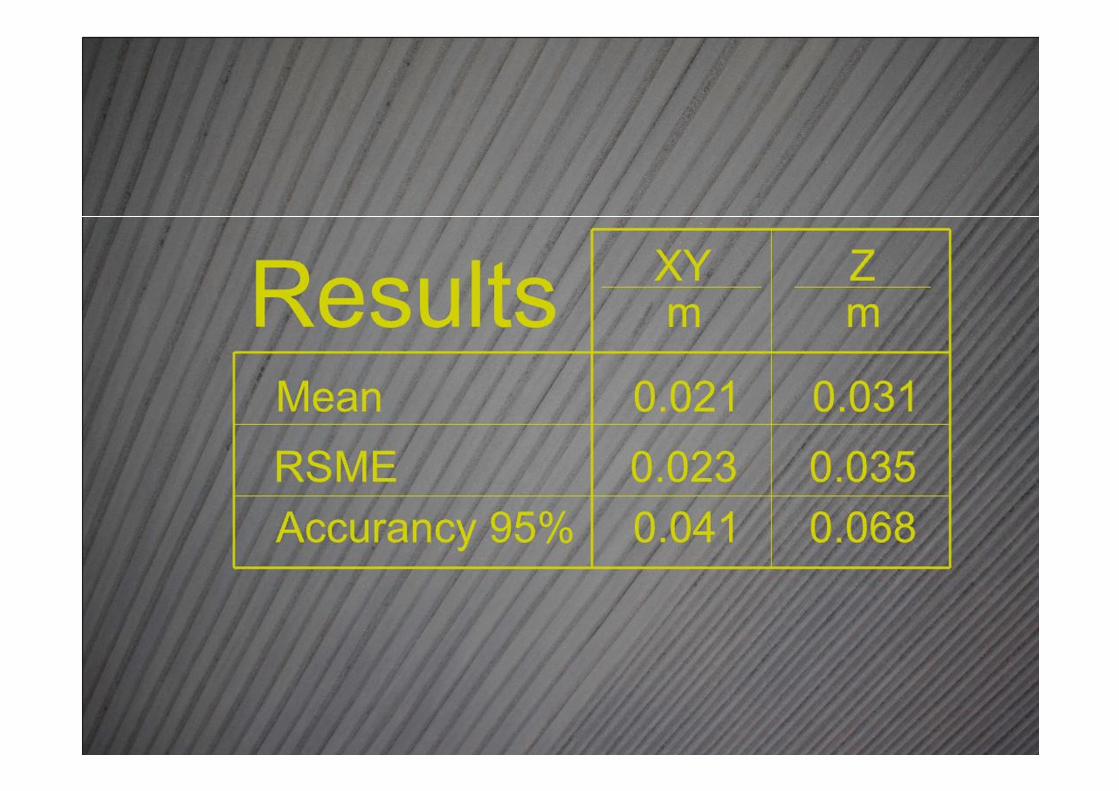
• Accuracy achieved: 41mm Horizontal and
68mm Vertical
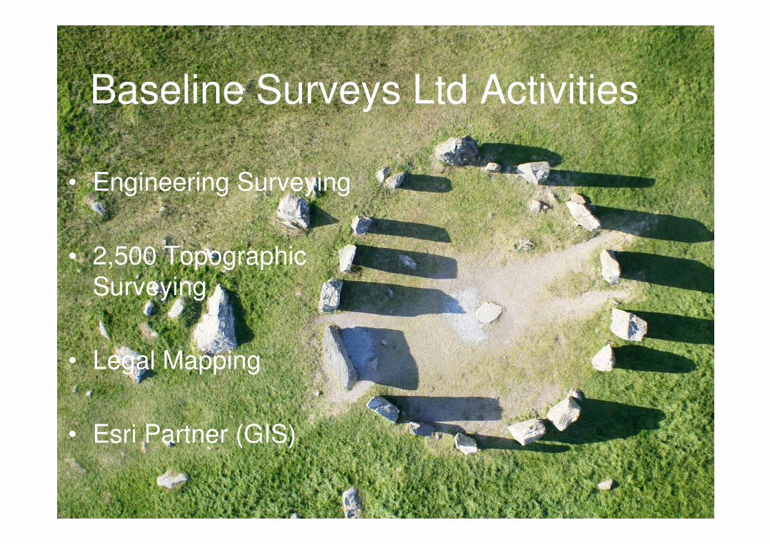
Baseline Surveys Ltd Activities
• Engineering Surveying
• 2,500 Topographic
Surveying
• Legal Mapping
• Esri Partner (GIS)
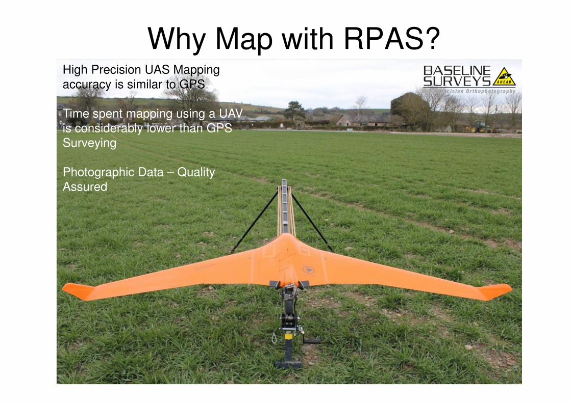
Why Map with RPAS?High Precision UAS Mapping
accuracy is similar to GPS
Time spent mapping using a UAV
is considerably lower than GPS
Surveying
Photographic Data – Quality
Assured
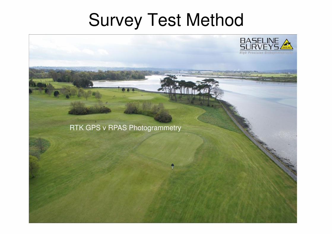
Survey Test Method
RTK GPS v RPAS Photogrammetry
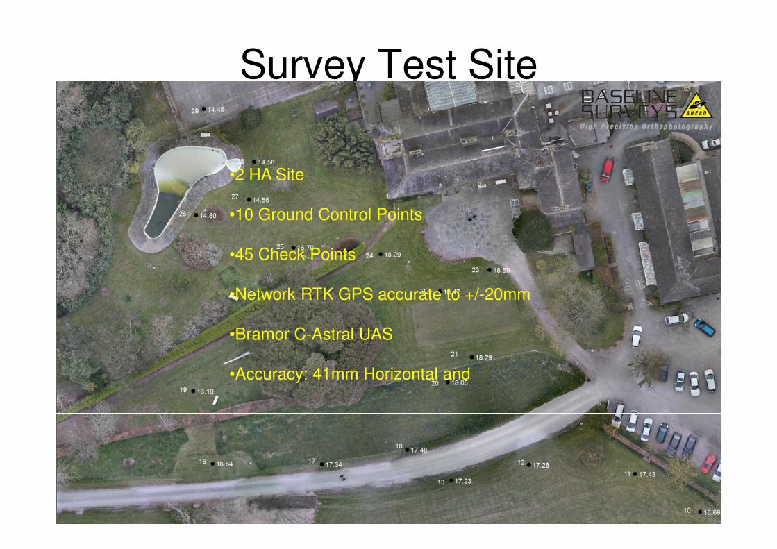
Survey Test Site• 68mm Vertical
•2 HA Site
•10 Ground Control Points
•45 Check Points
•Network RTK GPS accurate to +/-20mm
•Bramor C-Astral UAS
•Accuracy: 41mm Horizontal and
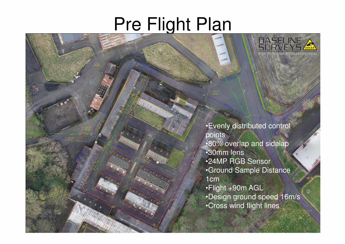
Pre Flight Plan
•Evenly distributed control
points
•80% overlap and sidelap
•30mm lens
•24MP RGB Sensor
•Ground Sample Distance
1cm
•Flight +90m AGL
•Design ground speed 16m/s
•Cross wind flight lines
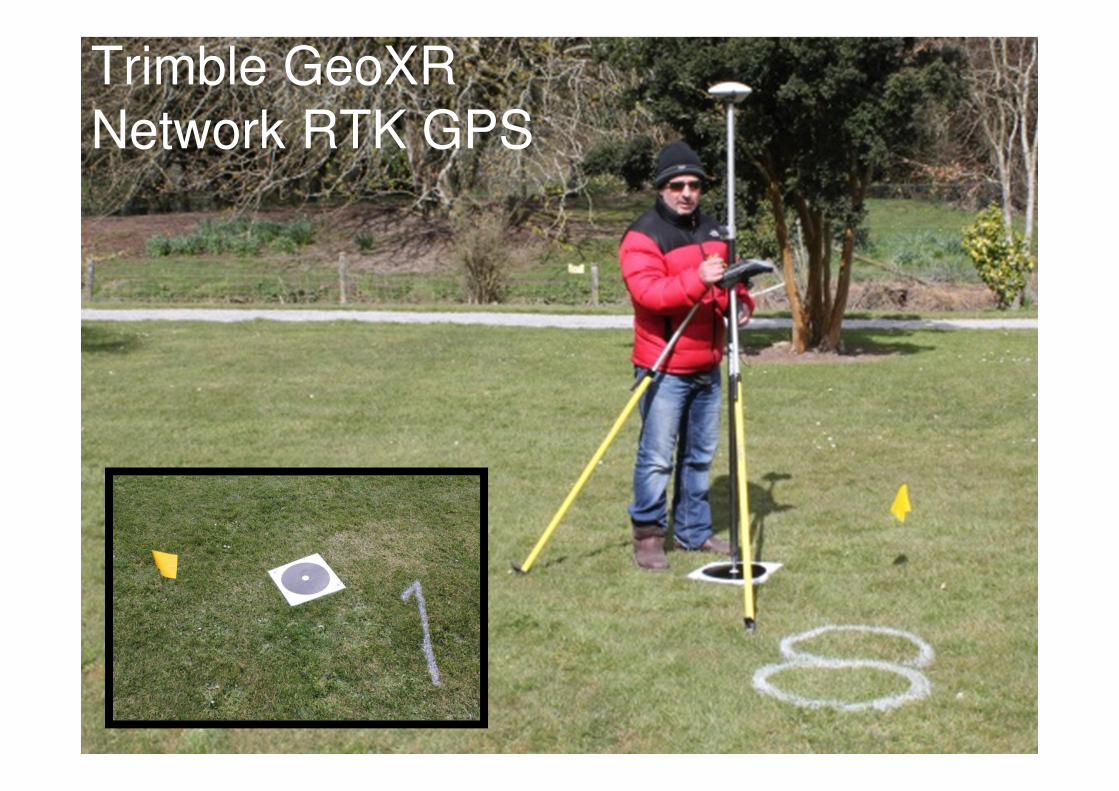
Trimble GeoXR
Network RTK GPS
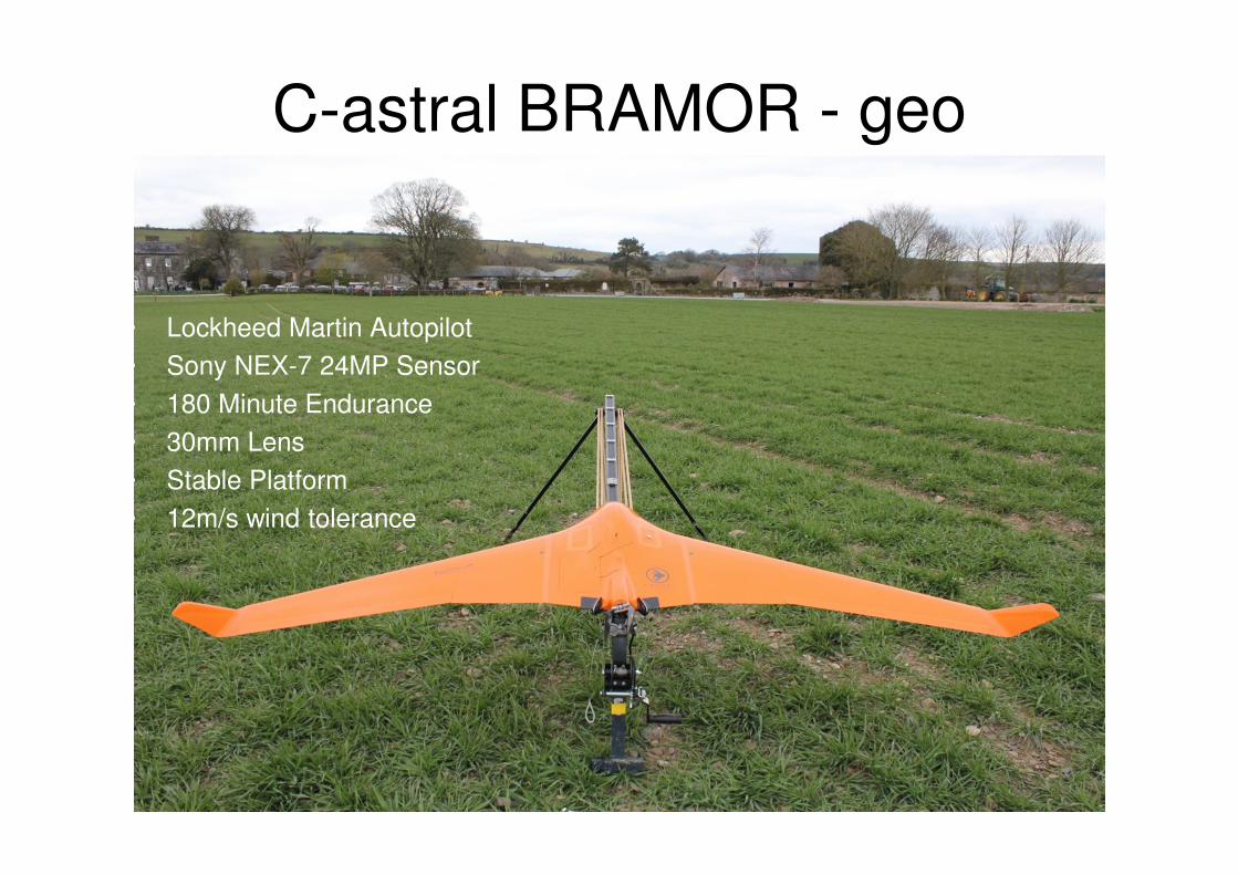
C-astral BRAMOR - geo
• Lockheed Martin Autopilot
• Sony NEX-7 24MP Sensor
• 180 Minute Endurance
• 30mm Lens
• Stable Platform
• 12m/s wind tolerance
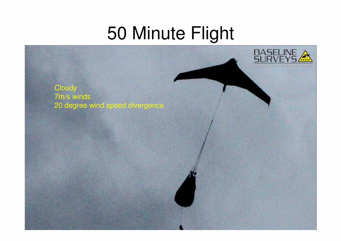
50 Minute Flight
Cloudy
7m/s winds
20 degree wind speed divergence
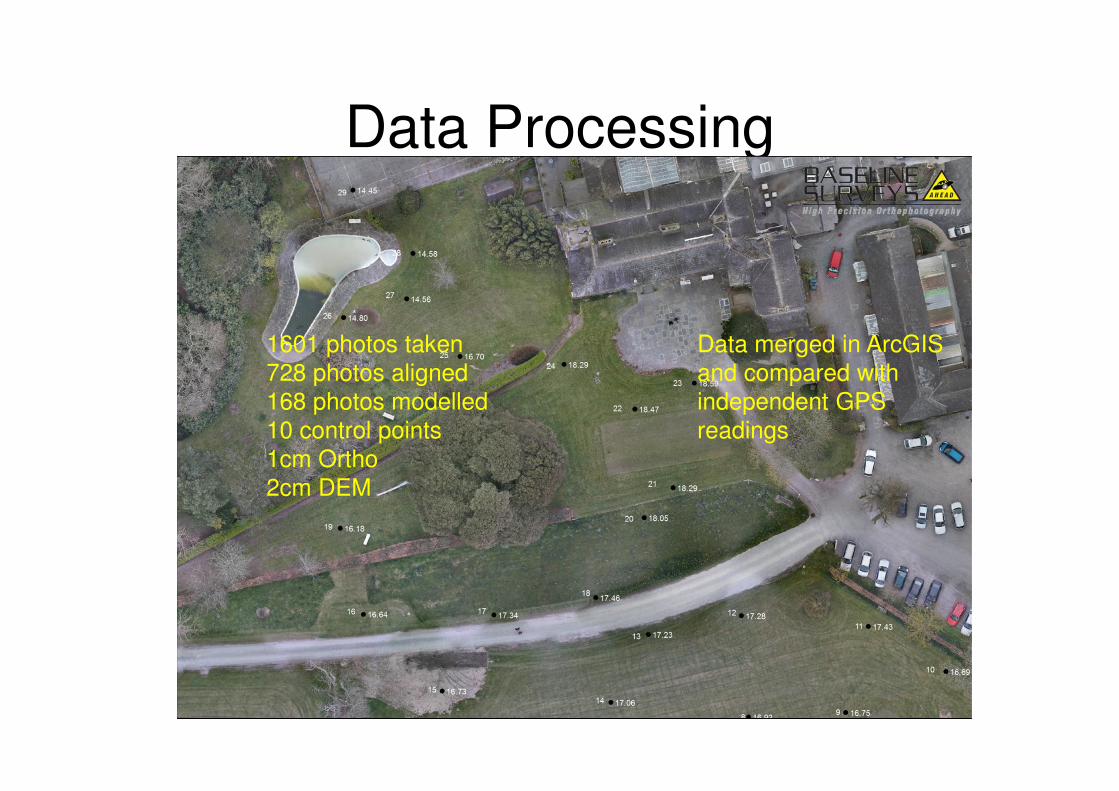
Data Processing
Data merged in ArcGIS
and compared with
independent GPS
readings
1601 photos taken
728 photos aligned
168 photos modelled
10 control points
1cm Ortho
2cm DEM
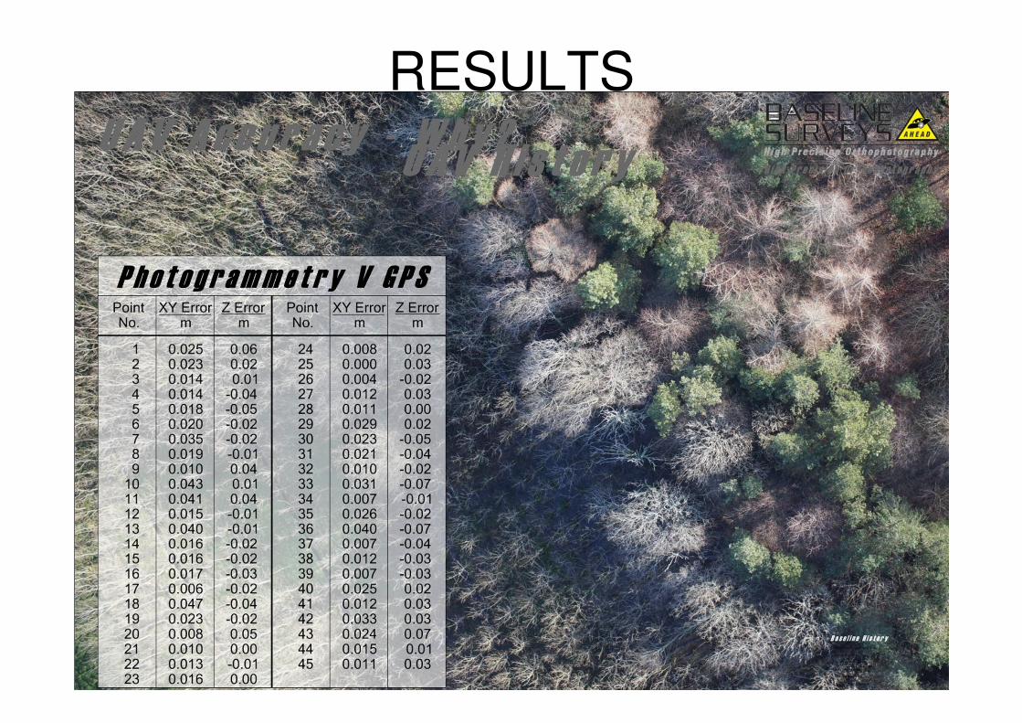
RESULTS
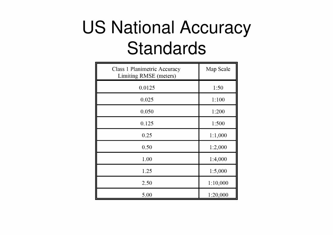
US National Accuracy
Standards
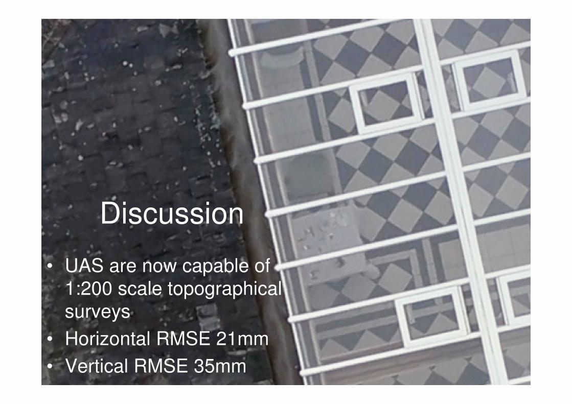
Discussion
• UAS are now capable of
1:200 scale topographical
surveys
• Horizontal RMSE 21mm
• Vertical RMSE 35mm
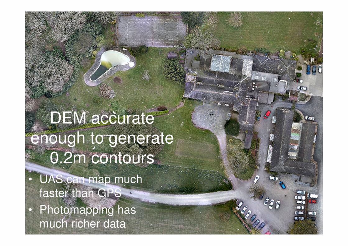
DEM accurate
enough to generate
0.2m contours• UAS can map much
faster than GPS
• Photomapping has
much richer data
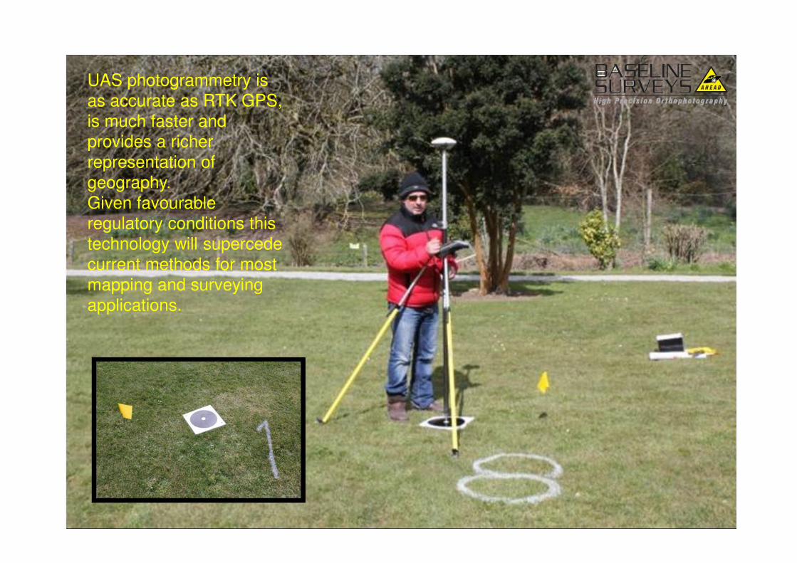
DiscussionUAS photogrammetry is
as accurate as RTK GPS,
is much faster and
provides a richer
representation of
geography.
Given favourable
regulatory conditions this
technology will supercede
current methods for most
mapping and surveying
applications.