Embed Size (px)
Citation preview
Federal Office of Topography swisstopoSwiss Geological Survey
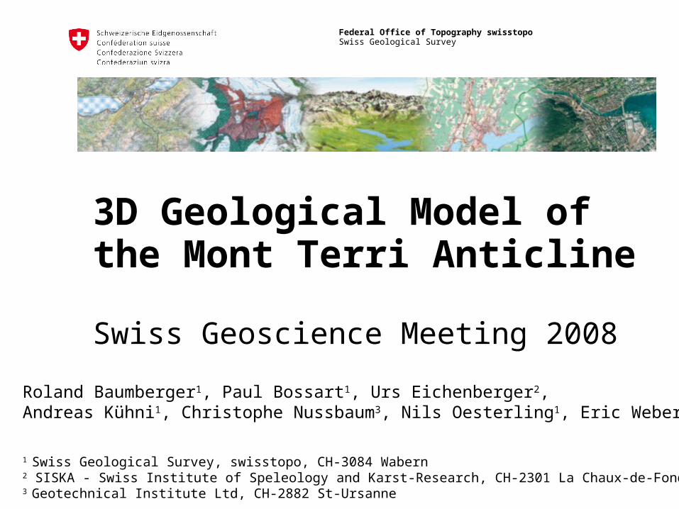
3D Geological Model of the Mont Terri Anticline
Swiss Geoscience Meeting 2008
Roland Baumberger1, Paul Bossart1, Urs Eichenberger2, Andreas Kühni1, Christophe Nussbaum3, Nils Oesterling1, Eric Weber2
1 Swiss Geological Survey, swisstopo, CH-3084 Wabern2 SISKA - Swiss Institute of Speleology and Karst-Research, CH-2301 La Chaux-de-Fonds3 Geotechnical Institute Ltd, CH-2882 St-Ursanne

2 Federal Office of Topography swisstopo
Swiss Geological Survey
SGM 2008 | 2008-11-22
• Introduction• The 3D geological model of the Mont Terri anticline • Outlook
Content
Definition of 3D Geology *“3D geology is the interaction of 3D modelling, 3D visualization, data handling and analysis”
* by the Swiss Geological Survey

3 Federal Office of Topography swisstopo
Swiss Geological Survey
SGM 2008 | 2008-11-22
Introduction - Background
Why working in the domain of 3D geology?• Geology is 3D • Key technology • Great importance
Supply models for further applications
First step• 3D model of the Mont Terri anticline
4 Federal Office of Topography swisstopo
Swiss Geological Survey
SGM 2008 | 2008-11-22
Aims• To develop a 3D model of the Mont Terri anticline• To describe the necessary steps in a “cook-book”• To present the 3D model as movie & VRML-scene• Side-effect
• To check the consistency of 2D profiles
Methodology• Using maps, measurements etc. as input data• Deriving a “simplified model” of the tectonic setting• Iterative refinement of the model
Introduction – The Mont Terri model

5 Federal Office of Topography swisstopo
Swiss Geological Survey
SGM 2008 | 2008-11-22
Introduction – The Mont Terri model
Team
Modelling• ISSKA, La-Chaux-de-Fonds• Geotechnisches Institut, St. Ursanne
Project owner & reviewing• swisstopo, Swiss Geological Survey

6 Federal Office of Topography swisstopo
Swiss Geological Survey
SGM 2008 | 2008-11-22
Introduction – Tectonic interpretation of the Mont Terri region
Based on the Geologic Atlas of Switzerland 1:25’000; sheet ”St.Ursanne”; Laubscher (1963); modified by C. Nussbaum

7 Federal Office of Topography swisstopo
Swiss Geological Survey
SGM 2008 | 2008-11-22
Introduction – 3D simplified block diagrams of the Mont Terri anticline
Position of Mont Terri rock laboratory
Nussbaum & Bossart (2008), in Bossart and Thury, swisstopo report

8 Federal Office of Topography swisstopo
Swiss Geological Survey
SGM 2008 | 2008-11-22
Geological data Geologic Atlas of Switzerland 1:25‘000, sheet
„St. Ursanne“ Azimuth & dip measurements Geological cross-sections and reports supplied by
science (Uni Basel), industry and SBB Geological maps along Mont Terri galleries
Other data DEM 25 Aerial photos Construction data of the Mont Terri rock laboratory Layouts of highway and railway tunnels as well as
abandoned limestone quarry of St. Ursanne
3D model – Basic data aquisition

9 Federal Office of Topography swisstopo
Swiss Geological Survey
SGM 2008 | 2008-11-22
3D model – Applied methodology
Basic data aquisition
Createstructural
model
1a
Inter-/extrapolation2
Complete final model5
Modifystructural
model
4aCreate
new data
4b
Check geological consistency
yes
nono3
OK?
mo
de
lling
pro
cess
Data preparation
Transfer to modelling software
1b

10 Federal Office of Topography swisstopo
Swiss Geological Survey
SGM 2008 | 2008-11-22
Difficulties appeared during model construction due to:
• Data density heterogenous spatial distribution
• Data resolution tunnel cross-sections vs. geological profiles
• Ages of samples e.g. 1873-1875 tunnel cross-sections provided by the SBB
• Diverging conceptual models of the geological structure
publishing ages of basic data
3D model – Challenges

11 Federal Office of Topography swisstopo
Swiss Geological Survey
SGM 2008 | 2008-11-22
• 3D model Software: Cinema 4D
• 3D scene VRML-format
• Movie presenting the model .avi-format (see movie at swisstopo booth)
• Project report
3D model – Results

12 Federal Office of Topography swisstopo
Swiss Geological Survey
SGM 2008 | 2008-11-22
• 3D geology can help to assure quality standards of 2D data
• Identification of contradictions of 2D cross-sections• Verification of „plain strain hypothesis“
• 3D geology is time consuming• 500-800h modelling work
• 3D geology does not provide one stop results, it is an iterative approach
• Construction of detailed models by passing through several loops
• 3D geology is always interpretation (like conventional geological cross-sections and maps
• Results represent only an approximation to the real settings
3D model – Conclusions

13 Federal Office of Topography swisstopo
Swiss Geological Survey
SGM 2008 | 2008-11-22
• Combination of the existing Borehole Information System and 3D model
• Finite element modelling (hydrodynamic, stress field etc.)
Outlook – Mont Terri

14 Federal Office of Topography swisstopo
Swiss Geological Survey
SGM 2008 | 2008-11-22
Short-term• Development of a conceptual background for the
setup and application of the 3D geology• Implementation of geological 3D modelling software• Development of 3D models of selected regions
Mid-term• Integration of 3D data into swisstopo Data
Management Systems• Establishing of partnerships and networks• Definition of interfaces to other domains
Long-term• Development of nationwide 3D geological models
Outlook – General

15 Federal Office of Topography swisstopo
Swiss Geological Survey
SGM 2008 | 2008-11-22
Thank you for your attention.
3D model available at:http://www.isska.ch/SwissTopo3D/index.html
Contact:[email protected]
The end - Questions & answers


![Authors: Tong Li, Dan Baumberger, David A. Koufaty, and Scott Hahn [Systems Technology Lab, Intel Corporation] Source: 2007 ACM/IEEE conference on Supercomputing](https://img.pdfslide.us/doc/110x75/56649e0d5503460f94af6de6/authors-tong-li-dan-baumberger-david-a-koufaty-and-scott-hahn-systems.jpg)