Embed Size (px)
Citation preview
GEOEXPRESS 9.5.5January 2018• Unlimited processing cores• Anonymous usage information for
quick bug fixes and more support for the best-loved features
GEOEXPRESS 9.5.4May 2017• Seamline shapefile creation• Improved MrSID mosaic creation from command line
GEOEXPRESS 9.5.3• Support for BPF, often used in Geiger-
Mode LiDAR data• NAD83(2011) support• Better color balancing• Custom watermarks • Simpler licensing to import single or
floating licenses with ease
GEOEXPRESS 9.5.2• Floating licenses now access Remote
Desktop• Fixed batch silent install
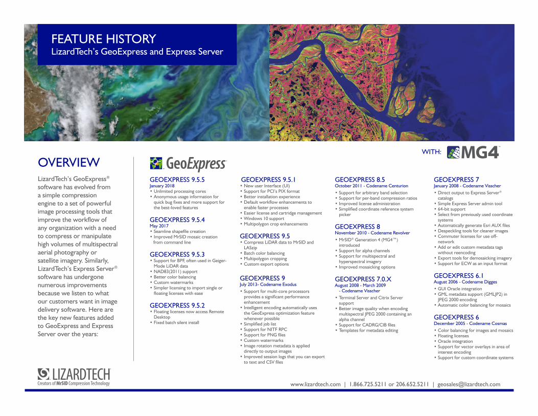
OVERVIEWLizardTech’s GeoExpress® software has evolved from a simple compression engine to a set of powerful image processing tools that improve the workflow of any organization with a need to compress or manipulate high volumes of multispectral aerial photography or satellite imagery. Similarly, LizardTech’s Express Server® software has undergone numerous improvements because we listen to what our customers want in image delivery software. Here are the key new features added to GeoExpress and Express Server over the years:
www.lizardtech.com | 1.866.725.5211 or 206.652.5211 | [email protected]
FEATURE HISTORYLizardTech’s GeoExpress and Express Server
™
WITH:
GEOEXPRESS 9.5.1• New user Interface (UI)• Support for PCI’s PIX format• Better installation experience• Default workflow enhancements to
enable faster processes• Easier license and cartridge management• Windows 10 support• Multipolygon crop enhancements
GEOEXPRESS 9.5 • Compress LiDAR data to MrSID and
LASzip• Batch color balancing• Multipolygon cropping• Custom export options
GEOEXPRESS 9July 2013- Codename Exodus• Support for multi-core processors
provides a significant performance enhancement
• Intelligent encoding automatically uses the GeoExpress optimization feature whenever possible
• Simplified job list• Support for NITF RPC• Support for PNG files• Custom watermarks• Image rotation metadata is applied
directly to output images• Improved session logs that you can export
to text and CSV files
GEOEXPRESS 8.5October 2011 - Codename Centurion• Support for arbitrary band selection• Support for per-band compression ratios• Improved license administration• Simplified coordinate reference system
picker
GEOEXPRESS 8November 2010 - Codename Revolver• MrSID® Generation 4 (MG4™)
introduced• Support for alpha channels• Support for multispectral and
hyperspectral imagery• Improved mosaicking options
GEOEXPRESS 7.0.XAugust 2008 - March 2009
- Codename Visscher• Terminal Server and Citrix Server
support• Better image quality when encoding
multispectral JPEG 2000 containing an alpha channel
• Support for CADRG/CIB files• Templates for metadata editing
GEOEXPRESS 7January 2008 - Codename Visscher• Direct output to Express Server®
catalogs• Simple Express Server admin tool• 64-bit support• Select from previously used coordinate
systems• Automatically generate Esri AUX files• Despeckling tools for cleaner images• Commuter licenses for use off-
network• Add or edit custom metadata tags
without reencoding• Export tools for demosaicking imagery• Support for ECW as an input format
GEOEXPRESS 6.1August 2006 - Codename Digges• GUI Oracle integration• GML metadata support (GMLJP2) in
JPEG 2000 encoding• Automatic color balancing for mosaics
GEOEXPRESS 6December 2005 - Codename Cosmas• Color balancing for images and mosaics• Floating licenses• Oracle integration• Support for vector overlays in area of
interest encoding• Support for custom coordinate systems
www.lizardtech.com | 1.866.725.5211 or 206.652.5211 | [email protected]
CONTINUED
© 2016 Celartem Inc . d.b.a. LizardTech. MG4 and the MG4 logo are trademarks. LizardTech, GeoExpress, Express Server, MrSID and the LizardTech and GeoExpress logos are registered trademarks in the United States. All are property of LizardTech.
EXPRESS SERVER 9.5May 2016• Serve and visualize LiDAR:
LAS, MG4, LAZ• Extract and download DEMs
and point clouds• Filter LiDAR downloads
by classification• Export to MrSID• New installation experience
EXPRESS SERVER 9Feb 2014• Multithreaded decodes for faster
performance
EXPRESS SERVER 8September 2012• Web administration interface• 30-day trial• Geospatial PDF support
EXPRESS SERVER 7July 2011• MG4 support
EXPRESS SERVER 6.1July 2008 - Codename Lambert• Simple administration tool• Integration with ArcGIS Server and
ArcGIS Image Server• Google Earth support• Lossy PNG support• NITF support• JPIP support
GEOEXPRESS 5December 2004 - Codename Harrison• JPEG 2000 (JP2) encoding• Unlimited encoding option• Image reprojection• Area of interest encoding• Improved multiresolution mosaicking• NITF encode support• GeoExpress® Tools Edition
GEOEXPRESS 4.1September 2004 - Codename Des Barres• Composite cropping and mosaicking• Improved large mosaic memory handling
GEOEXPRESS 4November 2003 - Codename Kepler• Image cropping• Image resampling• Multiuser Network Edition (uses ECM)• Multiresolution mosaicking (octaves)• Interactive preview window• .NET-based graphical user interface (GUI)• NITF decode support• Watermarked test encoding
GEOEXPRESS 3November 2002 - Codename Ptolemy• MrSID Generation 3 (MG3™) introduced• Lossless encoding with compression• Localized image updating• Mosaicking existing encoded MrSID files• Optimizing of MG3 images• Data cartridges• Unlimited file size support (MG3)• Temp files eliminated for smaller footprint• JPEG 2000 input file support
FEATURE HISTORYLizardTech’s GeoExpress and Express Server
EXPRESS SERVER 6June 2007 - Codename Ringmann• Spatial Express integration• GMLJP2 metadata support• New sample web applications• Mirroring support• Windows 2003 support• Apache 2 support for Windows
EXPRESS SERVER 5.3June 2006 - Codename Waldseemüller• Dynamic reprojection• Single image WMS layer for catalogs with multiple
images• Improved pan/zoom performance
EXPRESS SERVER 5March 2005 - Codename Blaeu• MG3 support• WMS support
EXPRESS SERVER 4February 2004• First release of Express Server
MrSID GEOENCODER 1.5December 2001 - Codename Newton• Support for JPEG with world files• Mosaicking TIFF and GeoTIFF images• Support for cropping input images by pixel• MrSID viewer launching within application• Image info recording during encode• Mosaicking images with slightly different x and y
resolutions
MrSID GEOENCODER 1.4July 2000 - Codename Gecko• Support for three-band IMAGINE files• Support for 16-bit GeoTIFF• Customizable metadata tags• Corner cropping of USGS DOQ images• Password protection of MrSID files
MrSID GEOENCODER 1.3January 2000 - Codename Gecko• Individual settings for batch processing• Option to select background color• Option to rename output file before encoding• GeoTIFF support• Tiled TIFF support• Inclusion of metadata from input imagery• Improved image-size reporting
Rev. January 23, 2018