Embed Size (px)
Citation preview
Faatasi Malologa
(PGSC Chair)
Director
Department of Lands & Survey, Tuvalu
Faatasi Malologa
(PGSC Chair)
Director
Department of Lands & Survey, Tuvalu
Seventh Session of the United Nations Committee of Experts on Global Geospatial Information Management (UN-GGIM) -
31 July - 4 August 2017
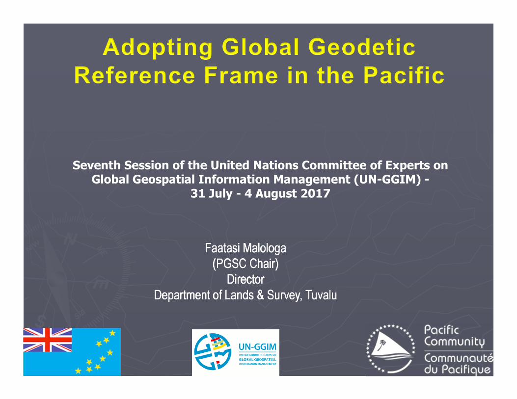
Geodetic Reference Frame - Pacific
• Small steps in Pacific SIDs adopting UN Resolution A/69/L.53 “A Global Geodetic Reference Frame for Sustainable Development”
• Transition from Local Grid to Global Reference Frame
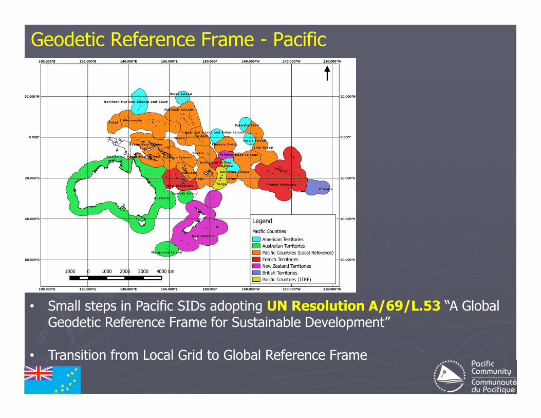
Global Geodetic Reference FrameThe UN-GGIM Roadmap…
In February 2015 the UN General Assembly adopted the resolution “A Global Geodetic Reference Frame for Sustainable Development” - the first resolution recognizing the importance of a globally-coordinated approach to geodesy.
As per UN Resolution A/69/L.53
In the Pacific…Australia, Fiji, New Zealand, Papua New Guinea, Samoa, Solomon Islands, Tonga, Tuvalu, Vanuatu
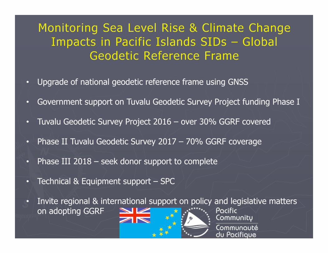
• Upgrade of national geodetic reference frame using GNSS
• Government support on Tuvalu Geodetic Survey Project funding Phase I
• Tuvalu Geodetic Survey Project 2016 – over 30% GGRF covered
• Phase II Tuvalu Geodetic Survey 2017 – 70% GGRF coverage
• Phase III 2018 – seek donor support to complete
• Technical & Equipment support – SPC
• Invite regional & international support on policy and legislative matters on adopting GGRF
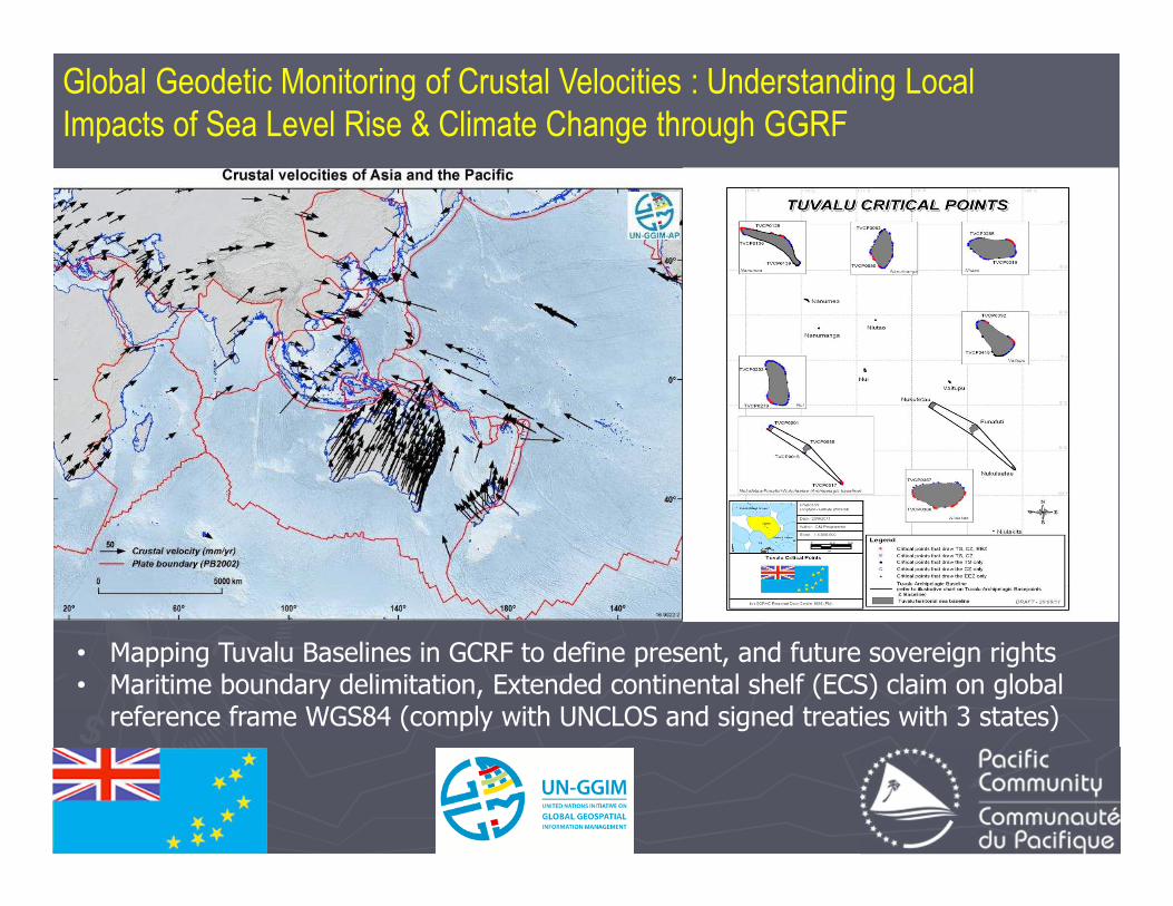
Global Geodetic Monitoring of Crustal Velocities : Understanding Local
Impacts of Sea Level Rise & Climate Change through GGRF
• Mapping Tuvalu Baselines in GCRF to define present, and future sovereign rights• Maritime boundary delimitation, Extended continental shelf (ECS) claim on global
reference frame WGS84 (comply with UNCLOS and signed treaties with 3 states)
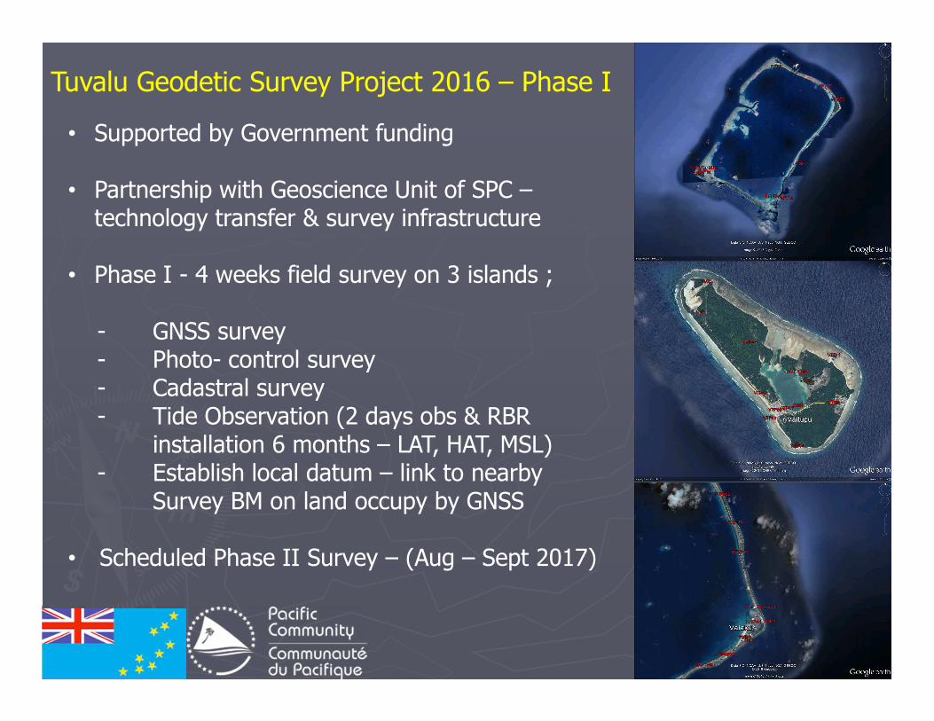
Tuvalu Geodetic Survey Project 2016 – Phase I
• Supported by Government funding
• Partnership with Geoscience Unit of SPC –technology transfer & survey infrastructure
• Phase I - 4 weeks field survey on 3 islands ;
- GNSS survey- Photo- control survey- Cadastral survey- Tide Observation (2 days obs & RBR
installation 6 months – LAT, HAT, MSL)- Establish local datum – link to nearby
Survey BM on land occupy by GNSS
• Scheduled Phase II Survey – (Aug – Sept 2017)
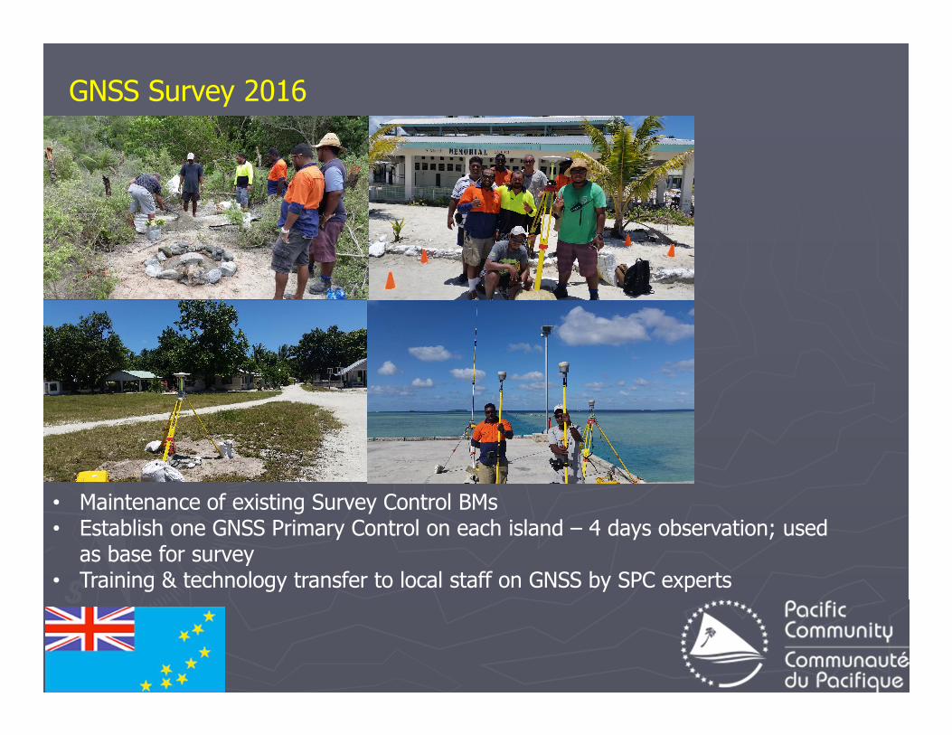
GNSS Survey 2016
• Maintenance of existing Survey Control BMs• Establish one GNSS Primary Control on each island – 4 days observation; used
as base for survey• Training & technology transfer to local staff on GNSS by SPC experts
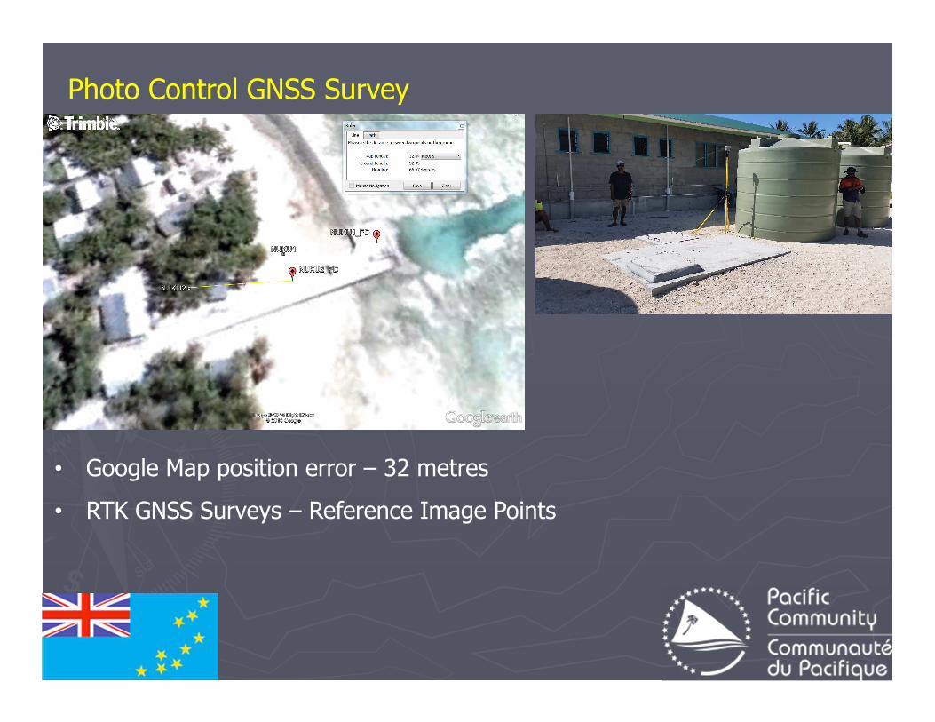
Photo Control GNSS Survey
• Google Map position error – 32 metres
• RTK GNSS Surveys – Reference Image Points
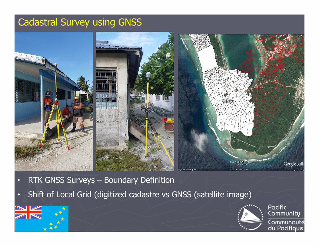
Cadastral Survey using GNSS
• RTK GNSS Surveys – Boundary Definition
• Shift of Local Grid (digitized cadastre vs GNSS (satellite image)
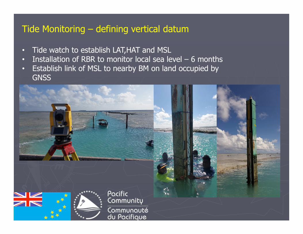
Tide Monitoring – defining vertical datum
• Tide watch to establish LAT,HAT and MSL• Installation of RBR to monitor local sea level – 6 months• Establish link of MSL to nearby BM on land occupied by
GNSS
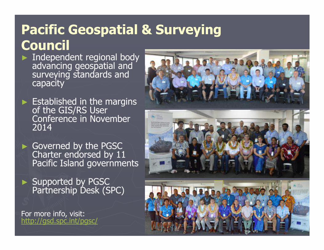
► Independent regional body advancing geospatial and surveying standards and capacity
► Established in the margins of the GIS/RS User Conference in November 2014
► Governed by the PGSC Charter endorsed by 11 Pacific Island governments
► Supported by PGSC Partnership Desk (SPC)
For more info, visit: http://gsd.spc.int/pgsc/
Pacific Geospatial & Surveying Council
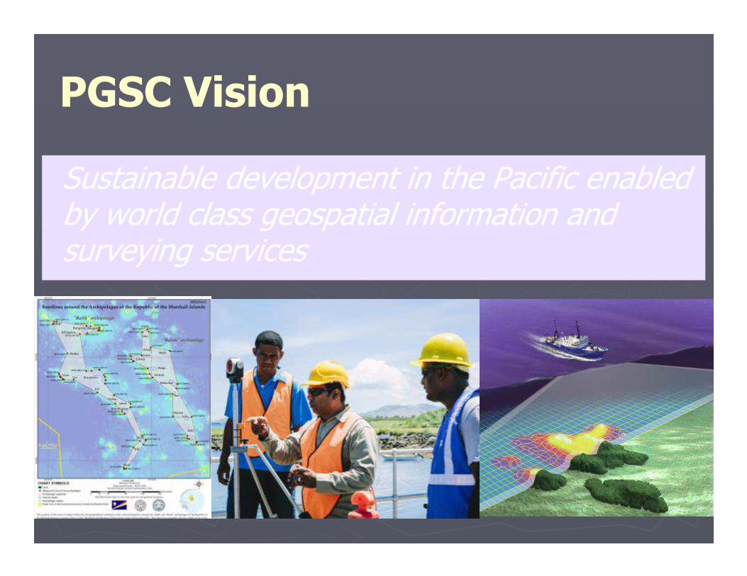
PGSC Vision
Sustainable development in the Pacific enabled by world class geospatial information and surveying services
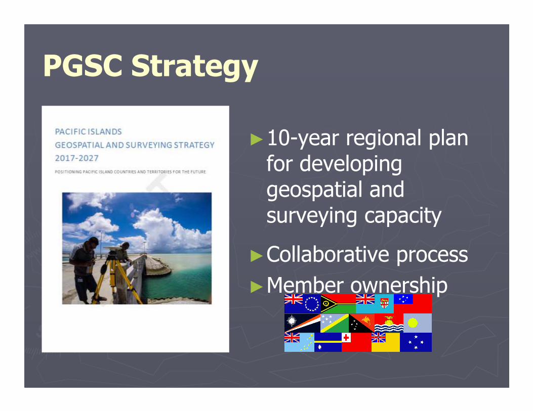
PGSC Strategy
►10-year regional plan for developing geospatial and surveying capacity
►Collaborative process
►Member ownership
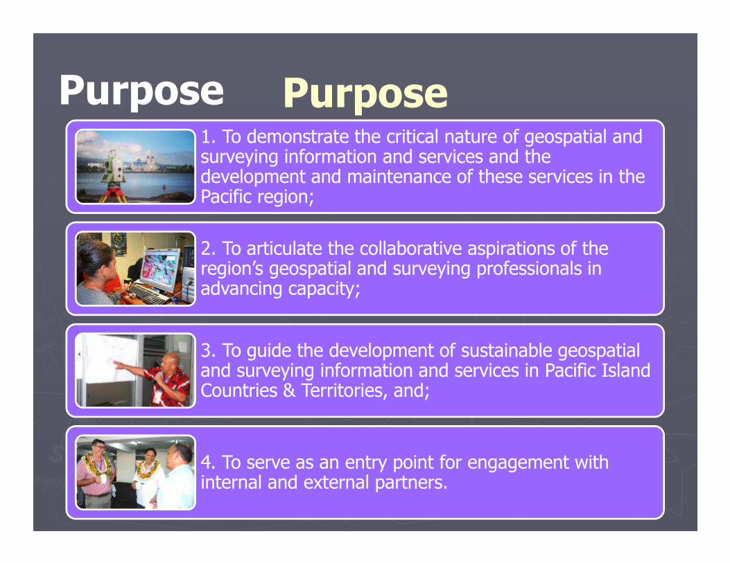
Purpose1. To demonstrate the critical nature of geospatial and surveying information and services and the development and maintenance of these services in the Pacific region;
2. To articulate the collaborative aspirations of the region’s geospatial and surveying professionals in advancing capacity;
3. To guide the development of sustainable geospatial and surveying information and services in Pacific Island Countries & Territories, and;
4. To serve as an entry point for engagement with internal and external partners.
Purpose
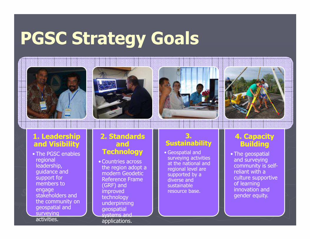
PGSC Strategy Goals
1. Leadership and Visibility
• The PGSC enables regional leadership, guidance and support for members to engage stakeholders and the community on geospatial and surveying activities.
2. Standards and
Technology
• Countries across the region adopt a modern Geodetic Reference Frame (GRF) and improved technology underpinning geospatial systems and applications.
3. Sustainability
• Geospatial and surveying activities at the national and regional level are supported by a diverse and sustainable resource base.
4. Capacity Building
• The geospatial and surveying community is self-reliant with a culture supportive of learning innovation and gender equity.
Challenges
• Lack funding on infrastructure upgrade (hardware & software)
• Lack standards & specification – “Fit- for – purpose” approach
• GCRF focus in urban area – outer islands and rural areas not cover
• Geospatial & Survey institution in Pacific region lacks funding support from global development partners
• Pacific Geospatial & Surveying Council (PGSC) – regional approach to support geospatial & surveying activities in Pacific region, link to international bodies – FIG, UN- GGIM
• Invite support from relevant UN bodies to assist PGSC and Geospatial & Surveying institutions in the region – promote and strengthen partnership on geospatial and surveying programs in Pacific region
• Mapping local impacts on sea level rise, coastal erosion, and climate change on a global geodetic reference frame – improve disaster and risk reduction planning
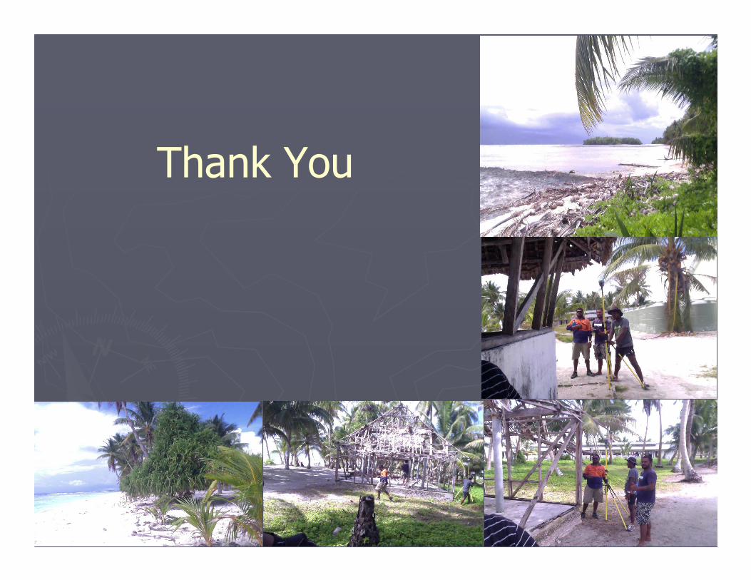
Thank You


![Cap. 116] Public Lands CHAPTER 116. PUBLIC LANDS](https://img.pdfslide.us/doc/110x75/61f91a8ff1224d6b024ea0c9/cap-116-public-lands-chapter-116-public-lands.jpg)