Embed Size (px)
Citation preview
OC12110
Exploring U.S. Westward Expansion in the Elementary Curriculum through Tall Tales
Gina M. Almerico, PhD
The University of Tampa
Nicole Martin, M.Ed.
The University of Tampa
William Masuck, BFA
The University of Tampa
Cynthia Strickland, M.Ed.
The University of Tampa
Jessica Thomas, M.Ed.
The University of Tampa
Abstract
Teaching social studies in the elementary school curriculum is enhanced by incorporating
quality children’s literature and strategies that bring the human element into play. American tall
tales are a genre unique to the history of our nation and provide a glimpse into the way early
settlers of the west envisioned heroism and adventure. Often textbooks written to teach social
studies concepts are written in an expository style replete with facts and numbers for student to
decipher and memorize. By expanding the study of the west to include tall tales teachers can
ignite the flame of curiosity and exploration in the minds of their students.
Westward expansion, tall tales, elementary social studies, teaching with children’s
literature

OC12110
Although there is near-universal agreement that geography is an essential component of
the elementary school curriculum, geography has struggled to find a significant place in the
schools. In most K-6 classrooms, geographic teaching and learning are a small part of social
studies – usually an activity limited to memorizing the names and locations of a few geographic
features, such as, oceans, rivers, lakes, states and capitals.
Gregg and Leinhardt (1994) define geography this way: Geography uses the language of
maps to communicate ideas about context and distribution of phenomena and processes
important for human decision making, issues of scale, the dynamic nature of phenomena, and
cultural perspective.
This definition is rather complex, however it provides the basis for understanding the
geographic component of the social studies. Geography requires that students know how to read
and make several types of maps. So we can think of geography is a type of literacy – the ability
to read and write maps, not words per se.
Through geography lessons, students should learn how people, resources, and products
are distributed over the earth. Geography study should provide a context for understanding
events as students see how the decisions people make are influenced by their physical
surroundings. Student should learn how people interact with the environment, and as a result,
how both people and place change.
Geography presents a unique challenge to teachers because geographic information is
presented in an unfamiliar format. Maps and globes require a different type of reading from
expository or narrative texts and students will end up working with a variety of maps, each with
its own category of information. For example one type of map could show the climate zones of
OC12110
the U.S. , while another could show the time zones of the U.S., where yet another might show the
ten largest cities in the U.S..
Map reading skills should be developed through repeated practice and direct instruction.
As with all instruction, teaching should move from concrete to abstract, from simple to complex.
Integrating Literature into the Social Studies
The following mini unit was developed to demonstrate how the study of geography at the
elementary school level could be integrated into the study of children’s literature. Quality
children’s literature has the potential to make personal connections with the reader. Good stories
provide genuine opportunities for readers to see themselves in the characters they meet. Good
books elicit unique emotions and responses which allows children to transport themselves to a
whole new world (Columba, Kim, & Moe, 2009). Social studies concepts, such as geography,
can be learned through interaction between what students already know and what they learn by
reading, listening, and discussing carefully selected books.
Social studies is a content area that integrates naturally with children’s literature.
Historical fiction, for example, can take dry, historical facts and breathe life into the people and
events of the past. Historical events from the past, lives of famous and not so famous people and
sociological patterns from generation to generation can be found in story form. The study of
geography, a strand of the social studies can be embellished though the use of literature as well.
Literature written for children, whether it is historical fact or fiction, or information texts
addressing the study of landforms and places, can serve as a natural vessel for capturing the
interests and attention of young readers (Columba, Kim, & Moe, 2009).
Tall Tales/Westward Expansion Mini Unit - Lesson Plans

OC12110
Name of Lesson Contributors: Gina Almerico, Ph.D., Nicole Martin, M.Ed., Billy Masuck,
Cynthia Strickland, M.Ed., and Jessica Thomas, M.Ed.
Lesson One
Geography of the West
Grade Level/English Proficiency Level for ESOL Learners: Fifth Grade/ESOL at the Proficient
Level
Nature of Activity/Goal of Lesson: The topic of the lesson includes identifying the major
geographic features of the American West.
Objectives:
1. The students will identify and locate the major geographic features on a physical map of the
West (SSS Social Studies, Grade Level 5, Big Idea: Growth and Westward Expansion,
SS.5.A.6.2).
2. Given a U.S.A. shaped sugar cookie, colored frosting, and chocolate chips, the students will
accurately create an edible map depicting the major geographic features of the West (SSS
Social Studies, Grade Level 5, Big Idea: Growth and Westward Expansion, SS.5.A.6.2).
Materials:
Bean, T.W., Readence, J.E., & Baldwin, R.S. (2008). Content area literacy: An integrated
approach, (9th ed.). Dubuque, Iowa: Kendall/Hunt
Johnson, S. (2004). Daily geography practice grade 4. Monterey, CA: Evan Moore Overhead
physical map of the USA
OC12110
Lauber, P. (1986). Volcano: The eruption and healing of Mount St. Helens. New York: Aladdin
Paper
McCoy, I. & Graham, L. (2005). Hands-on geography. Greensboro, NC: Carson-Dellosa
Publishing Company Edible Map, page 47
Rocky Mountains DVD
Cereal bowl
United States Map Transparencies
Markers/colored pencils/crayons
USA Shaped cookies (one for each student)
Vanilla frosting (mixed with food coloring to make blue, yellow, and green frosting) tubes of
blue and green frosting, chocolate chips (for creating topographical maps of the USA using the
USA Shaped cookie)
Plastic cutlery for each student
Paper plate for each student
Large Velcro map of the USA
Procedures:
1. Introduction - The teacher will begin by developing a structured semantic web to access
students’ prior knowledge of the West. He/she will write “The West” on the overhead projector.
The following three categories of information will be solicited: 1) States (California, Colorado,
Oregon, Utah, Nevada, Arizona, New Mexico) 2) Geography (Rocky Mountains, plains, deserts,
Pacific Ocean), 3) Climate (hot, cool, dry, wet).
2. Teacher Modeling - The teacher will share the following information as follows:
OC12110
• A large Velcro map of the U.S.A. is placed on the whiteboard. As the teacher shares the
background information, he/she places the names of the regions and states on the
corresponding space on the map.
• Background: Of the five regions of the United States, the West (place The West over the
region of the map) is the largest in area. Three of the five largest states are found there.
The West can be divided into two parts – the Mountain and the Pacific states (label
accordingly). Montana, Wyoming, Colorado, Utah, Nevada, and Idaho (as each state is
named its label is placed on the map) are the Mountain states. California, Oregon,
Washington, Alaska, and Hawaii (as each state is named its label is placed on the map)
are the Pacific states.
• The teacher will ask the students to imagine they are flying in an airplane above the
western region of the United States. He/she will then distribute the physical map of the
U.S.A. from Johnson page 63 (Attachment A). The overhead transparency of the physical
map will be placed on the overhead projector. The teacher will explain the elements of
the map:
o Title – tells what the map represents
o Legend (also called a map key) – is a list that explains the symbols on a map
o Compass Rose – a symbol that shows direction on a map
o Cardinal Directions – north, south east, and west (N, S, E, and W)
• The teacher will explain that a physical map shows the natural landforms and waterways
of a place.
• To explore the West the trip will begin at the Great Plains. The teacher will ask students
to place their finger at the starting point and will demonstrate this on the overhead
OC12110
projector. As the plane moves west, the Great Plains rise in elevation to 7,000 feet.
Looking down from the airplane the student might see large wheat fields. He/she might
also see sheep and cattle grazing on these flat lands.
• As the flight continues west, the airplane must climb higher in the air because it is
nearing the great Rocky Mountains. The teacher will ask the students to place their finger
on the Rocky Mountains (demonstrating this on the overhead projector). The Rocky
Mountain ranges stretch from Alaska in the north to Mexico in the south. The Rockies are
high, jagged mountains. Some of these mountains are so tall they stay covered in snow
year-round. In Colorado more than 50 mountain peaks stand over 14,000 feet high. That
is as tall as fourteen 100-story skyscrapers stacked on top of one another. The teacher will
show the DVD of the Rocky Mountains here.
• The Continental Divide is the line dividing the rivers that flow east from the rivers that
flow west. The Continental Divide is an imaginary line that runs north to south along the
top of the Rockies. The teacher will ask the students to place their finger on the
Continental Divide (demonstrating this on the overhead projector). Most rivers that begin
east of the Continental Divide flow east into the Gulf of Mexico or the Atlantic Ocean.
Most rivers to the west of the Continental Divide flow west to the Pacific Ocean.
• The Great Basin is west of the Continental Divide. The teacher will ask the students to
place their finger on the Great Basin (demonstrating this on the overhead projector).
From the plane the students will see what appears to be a large wrinkled bowl. A basin is
a low, bowl-shaped area (the teacher will show a cereal bowl as part of the explanation)
that is completely surrounded by higher land. What appears from the airplane above to be
wrinkles are actually mountain ranges. The Great Basin covers most of Nevada and parts
OC12110
of Utah, Idaho, Oregon, and California. The desert areas of the United States are found in
the Great Basin.
• The Sierra Nevada mountain range lies west of the Great Basin and is found mostly in
eastern California. The teacher will ask the students to place their finger on the Sierra
Nevada Mountains (demonstrating this on the overhead projector). The mountains of the
Sierra Nevada are very tall and, like the Rocky Mountains, are often snow-covered. The
words, Sierra Nevada means “snowy mountains” in Spanish.
• The Cascade Range is another chain of mountains north of the Sierra Nevada Mountains.
The teacher will ask the students to place their finger on the Cascade Range
(demonstrating this on the overhead projector). The Cascades stretch from Canada to
northern California. This range of mountains is known for their volcanoes. A volcano is
an opening in the earth that spews hot gas, ash, and lava. In 1980 Mount St. Helens in the
state of Washington erupted and killed more than 60 people. Patricia Lauber wrote the
book, Volcano: The eruption and healing of Mount St. Helens, in 1986. The teacher will
show the book, which was awarded the Newberry Honor Award and share some of the
photographs from the book with the students.
• Flying south of the Cascades you enter California’s Central Valley. The teacher will ask
the students to place their finger on the Central Valley (demonstrating this on the
overhead projector). This is where crops such as oranges, grapefruit, lettuce, and
tomatoes are grown.
• West of the Central Valley is the Coast Ranges. The teacher will ask the students to place
their finger on the Coast Ranges (demonstrating this on the overhead projector). These
mountains run along the Pacific Coast from Alaska, through Canada, and into California.

OC12110
This is where the plane will land. We have crossed the western portion of the United
States.
3. Guided Practice – The teacher will then direct the students to use colored pencils to color the
western region of the U.S.A. on their copy of the physical map in the following manner:
• Great Plains – green
• Rocky Mountains – purple
• Continental Divide – red
• Great Basin – yellow
• Sierra Nevada – black
• Cascade Range – brown
• Central Valley – orange
• Coast Range – pink
As the teacher points to each geographical feature on the overhead physical map, he/she will
hold up the corresponding colored pencil.
4. Independent Practice – The teacher will then lead the students through the creation of an
edible map of the western region of the United States as follows:
• Each student will receive a sugar cookie shaped like the U.S.A., a paper plate and plastic
cutlery.
• Using the physical map handout completed in Guided Practice for reference, the student
will create land and water features of the West.
• Blue icing will be used for bodies of water, green icing for grasslands, and yellow icing
for deserts. Chocolate chips will be used to represent the mountains.
• The students will create a legend (or key) for the edible map.
OC12110
• Finally, the students will eat their cookie maps of the West.
Evaluation of Student Learning:
Objective One, the students will identify and locate the major geographic features on a physical
map of the West, will be evaluated through teacher observation of their work by coloring the
major features on the physical map.
Objective Two, given a U.S.A. shaped sugar cookie, colored frosting, and chocolate chips, the
students will accurately create an edible map depicting the major geographic features of the
West, will be evaluated by teacher observation of the cookie features and accompanying legend.
Lesson Two
Westward Expansion
Grade Level/English Proficiency Level for ESOL Learners: Fifth Grade/ESOL at the Proficient
Level
Nature of Activity/Goal of Lesson: The topic of the lesson includes westward expansion, wagon
trains, and pioneers
Objectives:
1. Given the poem, Pioneers, the students will analyze the content to develop an accurate
definition of the term, pioneer (SSS Social Studies, Grade Level 5, Big Idea: Growth and
Westward Expansion, SS.5.A.6.2).
2. After hearing second-hand accounts of pioneer life, the students will discuss the hardships
endured by the pioneers as they travel across the West (SSS Social Studies, Grade Level 5, Big
Idea: Growth and Westward Expansion, SS.5.A.6.2).

OC12110
3.Given a map of the U.S.A. and the westward trails, the student will cut and paste the map and
assemble it to accurately show trails traveled by early pioneers (SSS Social Studies, Grade Level
5, Big Idea: Growth and Westward Expansion, SS.5.A.6.2).
4. Given a list of words from a passage about westward expansion, the student will write
sentences to define the words based on context clues (SSS Social Studies, Grade Level 5, Big
Idea: Growth and Westward Expansion, SS.5.A.6.2).
5. Given the handout of interactive maps showing two different routes to the West: the Oregon
Trail and the Mormon Trail, the student will accurately construct each trail (SSS Social Studies,
Grade Level 5, Big Idea: Growth and Westward Expansion, SS.5.A.6.2).
Materials:
Bean, T.W., Readence, J.E., & Baldwin, R.S. (2008). Content area literacy: An integrated
approach, (9th ed.). Dubuque, Iowa: Kendall/Hunt
Levine, E. (1986). If you traveled west in a covered wagon. New York: Scholastic
Milliken, L. (1990). Frontier American activity book. Dana Point, CA: Edupress
Silver, D. M. & Wynne, P. J. (2005). Interactive 3-D maps: American history. New York:
Teaching Resources
Chart paper
Markers
Large Velcro map of the USA (labeled with major geographic features of the West from
Lesson One)
Handout of USA map from Milliken, pages 4 & 5
Pioneer Poen Handout
Overhead images of pioneers
OC12110
12” x 18” construction paper
Scissors
Glue sticks
Tape
Procedures:
1. Introduction - The teacher will begin by reviewing the major geographic features of the U.S.A.
using the large Velcro map. The students will be asked to place the labeled names of the
geographic features from the previous lesson (Great Plains, Rocky Mountains, Continental
Divide, Great Basin, Sierra Nevada, Cascade Range, Central Valley, Coast Range) in the correct
position on the map. The teacher will then ask the student to do a Quick Write to describe the
types of landforms found in the West. The Quick Write strategy is an informal means of
engaging students in thinking about a content topic and it works as follows: The students are
given a writing prompt and asked to respond to that prompt by writing any ideas that come to
mind. Spelling and grammar are not important – the idea is to get the students thoughts on paper
as quickly as possible. Once students have written for about one minute, the teacher will ask
volunteers to share their thoughts.
2. Teacher Modeling - The teacher will remind the students that in the previous lesson they took
an imaginary trip across the West in an airplane. If they really flew in a plane from the eastern
end of the Great Plains to the Pacific Coast it may take 3 to 4 hours to cover the distance. The
teacher will tell the students that the lesson today will examine what it was like to travel across
the West back in the 1840s in a covered wagon. The Teacher Modeling component of the lesson
will proceed as follows:

OC12110
• The teacher will distribute the handout of USA map from Milliken, pages 4 & 5
(Attachment B). This handout contains a map of the U.S.A. which clearly marks the trails
used by early pioneers who crossed the West in covered wagons (California Trail, Old
Spanish Trail, Oregon Trail, Santa Fe Trail), 12” x 18” construction paper, scissors, and
glue sticks. The students will cut out the map and glue it to the construction paper.
• The teacher will engage the students in the Possible Sentences Strategy (Moore and
Moore, 2007). Possible Sentences is a pre-reading activity that helps students use
technical vocabulary and related concepts in the content area.
Steps for Possible Sentences
1. The teacher will list the following words on the overhead taken from the handout, The
Covered Wagon (Attachment C):
o Prairie schooner
o Axel
o Toolbox
o Lariats
o Buckskin
o Wagon box
o Jostling
o Prized possessions
o Abandoned
2. Each student will select two of the listed words or set of words and write a sentence
using them. The teacher will ask for volunteers to dictate their sentences as he/she writes
them on the board, whether the information is accurate or not.
OC12110
3. After an arbitrary number of sentences have been generated and shared, the students
will read the passage, The Covered Wagon, aloud as a class to verify the sentences on the
board.
4. If necessary, the Possible Sentences are corrected using content clues from the
passage.
• The teacher will then show students the three overhead transparencies of pioneers
(Attachment D) The teacher will read the following sections from Levine:
o Introduction
o What was the Oregon Territory?
o Why did some people want to travel all the way to Oregon? The teacher will share
the following: Americans began moving westward before the American
Revolution. In 1862, the passing of the Homestead Act spurred on this westward
movement even more. This law gave 160 acres of land free to anyone who settled
on it for five years and improved the land by building a house and planting crops.
Life on the prairie was very difficult at times. The pioneers traded conveniences
for new challenges when they went West.
o What was a covered wagon?
• The teacher will distribute the handout, You Can’t Take it With You (Attachment E),
from Milliken where students in small groups will decide which items depicted on the
handout they would take on a trip to the West and which they would leave. Once students
have completed this activity the teacher will read from Levine the section entitled, What
would your family bring in their covered wagon?
OC12110
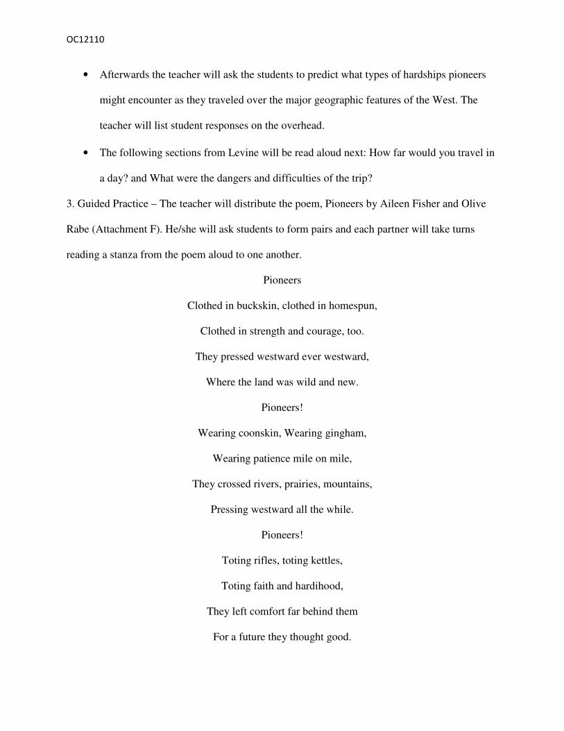
• Afterwards the teacher will ask the students to predict what types of hardships pioneers
might encounter as they traveled over the major geographic features of the West. The
teacher will list student responses on the overhead.
• The following sections from Levine will be read aloud next: How far would you travel in
a day? and What were the dangers and difficulties of the trip?
3. Guided Practice – The teacher will distribute the poem, Pioneers by Aileen Fisher and Olive
Rabe (Attachment F). He/she will ask students to form pairs and each partner will take turns
reading a stanza from the poem aloud to one another.
Pioneers
Clothed in buckskin, clothed in homespun,
Clothed in strength and courage, too.
They pressed westward ever westward,
Where the land was wild and new.
Pioneers!
Wearing coonskin, Wearing gingham,
Wearing patience mile on mile,
They crossed rivers, prairies, mountains,
Pressing westward all the while.
Pioneers!
Toting rifles, toting kettles,
Toting faith and hardihood,
They left comfort far behind them
For a future they thought good.
OC12110
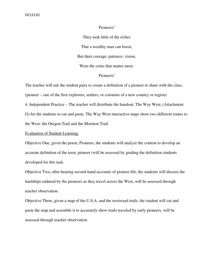
Pioneers!
They took little of the riches
That a wealthy man can boost,
But their courage, patience, vision,
Were the coins that matter most.
Pioneers!
The teacher will ask the student pairs to create a definition of a pioneer to share with the class.
(pioneer – one of the first explorers, settlers, or colonists of a new country or region)
4. Independent Practice – The teacher will distribute the handout, The Way West, (Attachment
G) for the students to cut and paste. The Way West interactive maps show two different routes to
the West: the Oregon Trail and the Mormon Trail.
Evaluation of Student Learning:
Objective One, given the poem, Pioneers, the students will analyze the content to develop an
accurate definition of the term, pioneer (will be assessed by grading the definition students
developed for this task.
Objective Two, after hearing second-hand accounts of pioneer life, the students will discuss the
hardships endured by the pioneers as they travel across the West, will be assessed through
teacher observation.
Objective Three, given a map of the U.S.A. and the westward trails, the student will cut and
paste the map and assemble it to accurately show trails traveled by early pioneers, will be
assessed through teacher observation.
OC12110
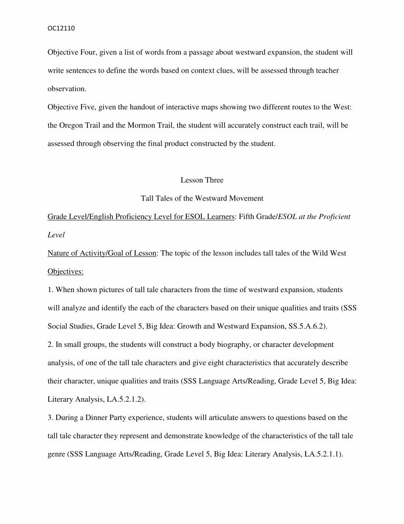
Objective Four, given a list of words from a passage about westward expansion, the student will
write sentences to define the words based on context clues, will be assessed through teacher
observation.
Objective Five, given the handout of interactive maps showing two different routes to the West:
the Oregon Trail and the Mormon Trail, the student will accurately construct each trail, will be
assessed through observing the final product constructed by the student.
Lesson Three
Tall Tales of the Westward Movement
Grade Level/English Proficiency Level for ESOL Learners: Fifth Grade/ESOL at the Proficient
Level
Nature of Activity/Goal of Lesson: The topic of the lesson includes tall tales of the Wild West
Objectives:
1. When shown pictures of tall tale characters from the time of westward expansion, students
will analyze and identify the each of the characters based on their unique qualities and traits (SSS
Social Studies, Grade Level 5, Big Idea: Growth and Westward Expansion, SS.5.A.6.2).
2. In small groups, the students will construct a body biography, or character development
analysis, of one of the tall tale characters and give eight characteristics that accurately describe
their character, unique qualities and traits (SSS Language Arts/Reading, Grade Level 5, Big Idea:
Literary Analysis, LA.5.2.1.2).
3. During a Dinner Party experience, students will articulate answers to questions based on the
tall tale character they represent and demonstrate knowledge of the characteristics of the tall tale
genre (SSS Language Arts/Reading, Grade Level 5, Big Idea: Literary Analysis, LA.5.2.1.1).

OC12110
Materials:
Bean, T.W., Readence, J.E., & Baldwin, R.S. (2008). Content area literacy: An integrated
approach, (9th ed.). Dubuque, Iowa: Kendall/Hunt
Chart paper
Tall Tale Character Transparencies
Index Cards (Seven sets numbered one through 5 –this number will change depending on class
size)
Dinner Party handout with questions
Markers
Post-it notes (Think pads)
Candy (multi-flavored for grouping students)
Trade Books:
Brimmer, L. D. ((2004). Calamity Jane. Minneapolis, MN: Compass Point Books
Kellogg, S. (1988) Johnny Appleseed. New York: Scholastic
Kellogg, S. (1992). Mike Fink. New York: Harper Collins Publisher
Kellogg, S. (1984) Paul Bunyan New York: Scholastic
Kellogg, S. (1986) Pecos Bill. New York: Scholastic
Kellogg, S. (1995) Sally Ann Thunder Ann Whirlwind Crockett. New York: Mulberry Paper
Book
Lester, J. (1994) John Henry. New York: Puffin
Nolen, J. (2003). Thunder Rose. Orlando, FL: Voyager Books
Osborne, M.P. (1991) American Tall Tales. New York: Alfred A. Knopf
Procedures:

OC12110
1. Introduction - The teacher will display transparency pictures of Paul Bunyan, John Henry,
Pecos Bill, Sally Ann Thunder Ann Whirlwind, Thunder Rose, Calamity Jane, and Johnny
Appleseed (Attachment H) without identifying the names of the tall tale characters depicted in
each. Students will be asked to try to identify the people in the pictures using prior background
knowledge (most will probably not be able to accomplish this task). The teacher will tell the
students they will be learning about the characters depicted in the pictures through a genre of
folktales called tall tales. The teacher will share the following information:
“Tall Talk, or exaggerated storytelling, began in the 1800s as a way for Americans
to come to terms with the vast and inhospitable lands they’d come to inhabit-
thick, dark forests filled with bears and panthers; treeless, arid deserts and plains;
towering mountains; and uncharted seacoasts.” The Teacher will read this quote from
Osborne, M.P. (1991) American Tall Tales.
Historical Background: Storytelling was a popular leisure-time activity during the time in
our nation’s history as pioneers were traveling to the West in covered wagons. As the
stories were passes along from trail to trail and home to home, they became greatly
exaggerated. Some were humorous while others were told of courageous acts and
daredevil deeds. Western adventurers, explorers, peace officers and outlaws alike became
legendary due to this simple frontier recreation.
The tall-tale characters that will be discussed in this lesson were born from various
combinations of historical fact, the storytelling of ordinary people, and the imagination
of professional writers.

OC12110
2. Teacher Modeling - The teacher will read aloud the picture book, Johnny Appleseed, retold by
Steven Kellogg. As the students listen to the story they will be asked to record any important
information they hear about the character, Johnny Appleseed on sticky notes (referred to as
“think pads”). The teacher will provide examples of information to record on the think pads;
suggesting to the students that they write down ideas from the story such as how the character
looked, felt, and acted as the tale unfolds. Students are also asked to include direct quotations
and specific words from the story that captures their attention. After reading the story, the
teacher will introduce the activity, Body Biographies, a multimedia interpretation of a character
in a novel, short story, or major figure in any content area (Bean, Readence, & Baldwin 2008).
The teacher will model this strategy before asking students to engage in a small group Body
Biography task. The steps to follow in implementing this strategy are as follows:
The teacher will display a large piece of chart paper where the outline of a person’s body has
been traced.
The teacher will tell the students they are to refer to their think pads to get ideas about special
traits and characteristics Johnny Appleseed possessed.
The teacher will ask for student volunteers to assist him/her in filling in the body outline with
representations of the character’s traits, experiences, and relationships learned from the read
aloud. Student contributions can include relevant quotations and original text about the
character.
The teacher will explain that the placement of words and art are important to consider. For
example, a characteristic such as loving or kind could be written over the heart.
Students will be encouraged to use a variety of different colors, symbols, and objects to
represent the character.
OC12110
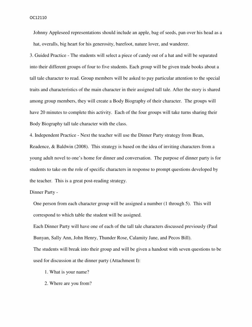
Johnny Appleseed representations should include an apple, bag of seeds, pan over his head as a
hat, overalls, big heart for his generosity, barefoot, nature lover, and wanderer.
3. Guided Practice - The students will select a piece of candy out of a hat and will be separated
into their different groups of four to five students. Each group will be given trade books about a
tall tale character to read. Group members will be asked to pay particular attention to the special
traits and characteristics of the main character in their assigned tall tale. After the story is shared
among group members, they will create a Body Biography of their character. The groups will
have 20 minutes to complete this activity. Each of the four groups will take turns sharing their
Body Biography tall tale character with the class.
4. Independent Practice - Next the teacher will use the Dinner Party strategy from Bean,
Readence, & Baldwin (2008). This strategy is based on the idea of inviting characters from a
young adult novel to one’s home for dinner and conversation. The purpose of dinner party is for
students to take on the role of specific characters in response to prompt questions developed by
the teacher. This is a great post-reading strategy.
Dinner Party -
One person from each character group will be assigned a number (1 through 5). This will
correspond to which table the student will be assigned.
Each Dinner Party will have one of each of the tall tale characters discussed previously (Paul
Bunyan, Sally Ann, John Henry, Thunder Rose, Calamity Jane, and Pecos Bill).
The students will break into their group and will be given a handout with seven questions to be
used for discussion at the dinner party (Attachment I):
1. What is your name?
2. Where are you from?
OC12110
3. Where have you traveled?
4. Tell us your story.
5. Why is your story important to American History?
6. If you were living in America today, what would be your favorite thing to do? Why?
7. How can you use Facebook to help you on your quest?
The student must be in character while at the dinner party and answer the questions like they are
embodying that character.
*The teacher will act as a moderator and facilitate the group discussions.
Conclusion:
The students will be shown the transparencies (from the introduction component of the lesson) at
the end of the lesson and be asked to identify the tall tale characters.
Evaluation of Student Learning:
Objective One, when shown pictures of tall tale characters from the time of westward
expansion, students will analyze and identify the each of the characters based on their unique
qualities and traits, will be evaluated through student responses.
Objective Two, in small groups, the students will be able to construct a body biography, or
character development analysis, of one of the tall tale characters and give eight characteristics
that accurately describe their character, unique qualities and traits, will be assessed through
teacher observation during group sharing.
Objective Three, during a dinner party experience, students will articulate answers to questions
based on the tall tale character they represent and demonstrate knowledge of the characteristics
of tall tale genre, will be evaluated through teacher observation.

OC12110
Attachment C The Covered Wagon
The covered wagon used to cross the plains to the west was a smaller, lighter
version of the big Conestoga wagon used in the east. The cloth top that protected
people and possessions from extreme weather conditions also was the prime reason
that the wagon was sometimes referred to as the "prairie schooner". (The view of a
OC12110
wagon train with its billowing tops resembled a fleet of ships sailing over the
plains.) A frame of hickory bows held the wagon top. The top could be rolled
back for ventilation. Waterproofed with paint or linseed oil, the top was of heavy
duty canvas, often made from hemp.
Big wheels helped the wagon roll easily over bumps and dips in the trail, and wide
rims helped keep the wagon from sinking into soft ground. The rear wheels were
about five or six feet in diameter, the front wheels were four feet or a bit less. The
front wheels had to be smaller to permit sharp turns--a big wheel would jam
against the wagon body.
The wagon's 10 X 3.5 foot body could take a load of a ton and a half, but most
advised to keep the weight below this limit. The lighter the wagon, the less likely
it was to bog down in muddy stream banks or prairie sloughs--or to tire the long-
suffering teams pulling it. Massive axles supported the weight of the wagon body
and load. On the plains a broken axle was a disaster--and prudent wagoners
usually took along a spare.
A toolbox was strapped on the wagon's one side, the brake lever and water bucket
on the other. Hanging from the rear axle was the grease bucket, filled with a
mixture of animal fat and tar. It was used to keep the hubs of the wheels greased.
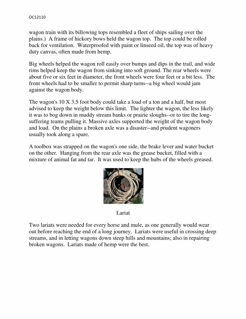
Lariat
Two lariats were needed for every horse and mule, as one generally would wear
out before reaching the end of a long journey. Lariats were useful in crossing deep
streams, and in letting wagons down steep hills and mountains; also in repairing
broken wagons. Lariats made of hemp were the best.
OC12110
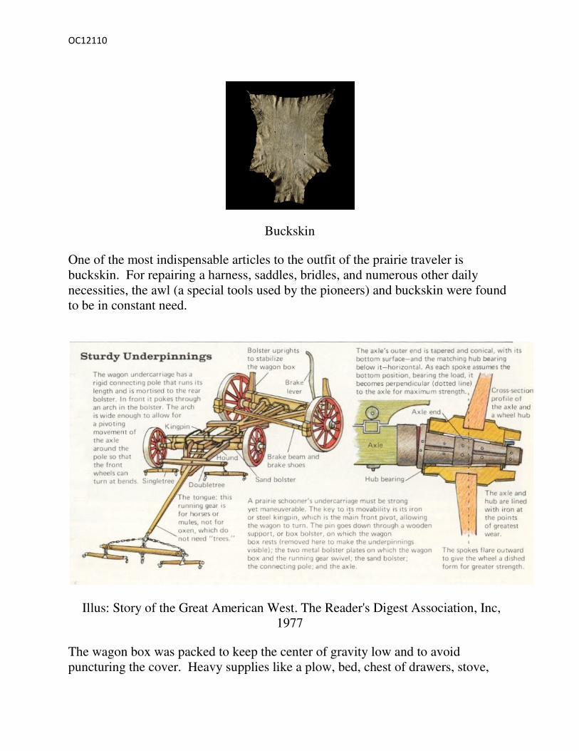
Buckskin
One of the most indispensable articles to the outfit of the prairie traveler is
buckskin. For repairing a harness, saddles, bridles, and numerous other daily
necessities, the awl (a special tools used by the pioneers) and buckskin were found
to be in constant need.
Illus: Story of the Great American West. The Reader's Digest Association, Inc,
1977
The wagon box was packed to keep the center of gravity low and to avoid
puncturing the cover. Heavy supplies like a plow, bed, chest of drawers, stove,

OC12110
spinning wheel, and bags of seed were packed on the bottom, carefully wrapped to
avoid jostling in the springless vehicle. Then came lighter goods such as, kitchen
utensils and clothes which were wrapped and strapped down. On top were stored
necessaries for the trip: flour and salt, a water keg, cooking pot, rifle, ax, blankets,
and even folding campstools.
By the time the necessities were packed and the prized possessions were loaded
there was little room remaining. In decent weather most people cooked, ate, and
slept outside. In bad weather the family slept in tents, under the wagon or inside,
on the load. As the trip got harder and the teams started to tire, many items would
be abandoned alongside the trail.
Adapted from: oregonpioneers.com/wagon.htm.
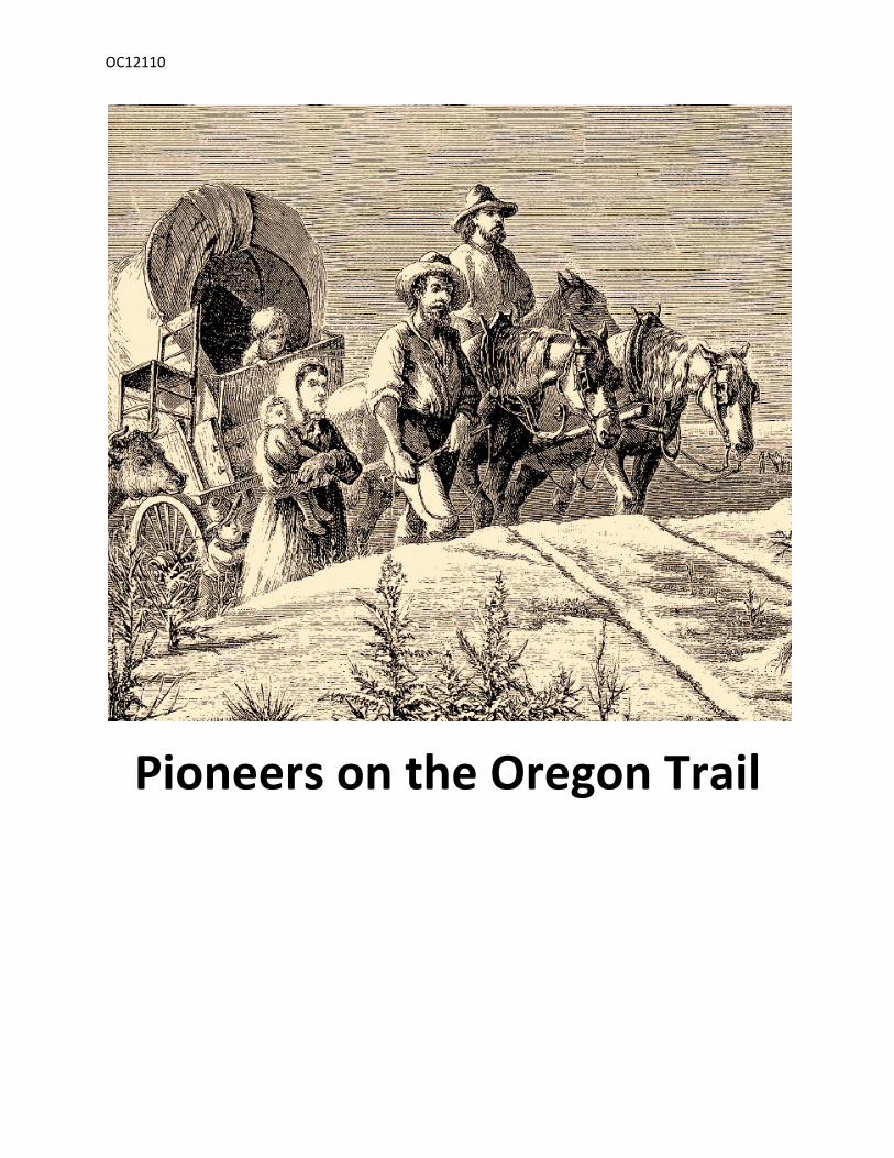
Attachment D
OC12110
Pioneers on the Oregon Trail

OC12110
Covered Wagon

OC12110
Pioneers of the Westward Expansion of the
United States
OC12110
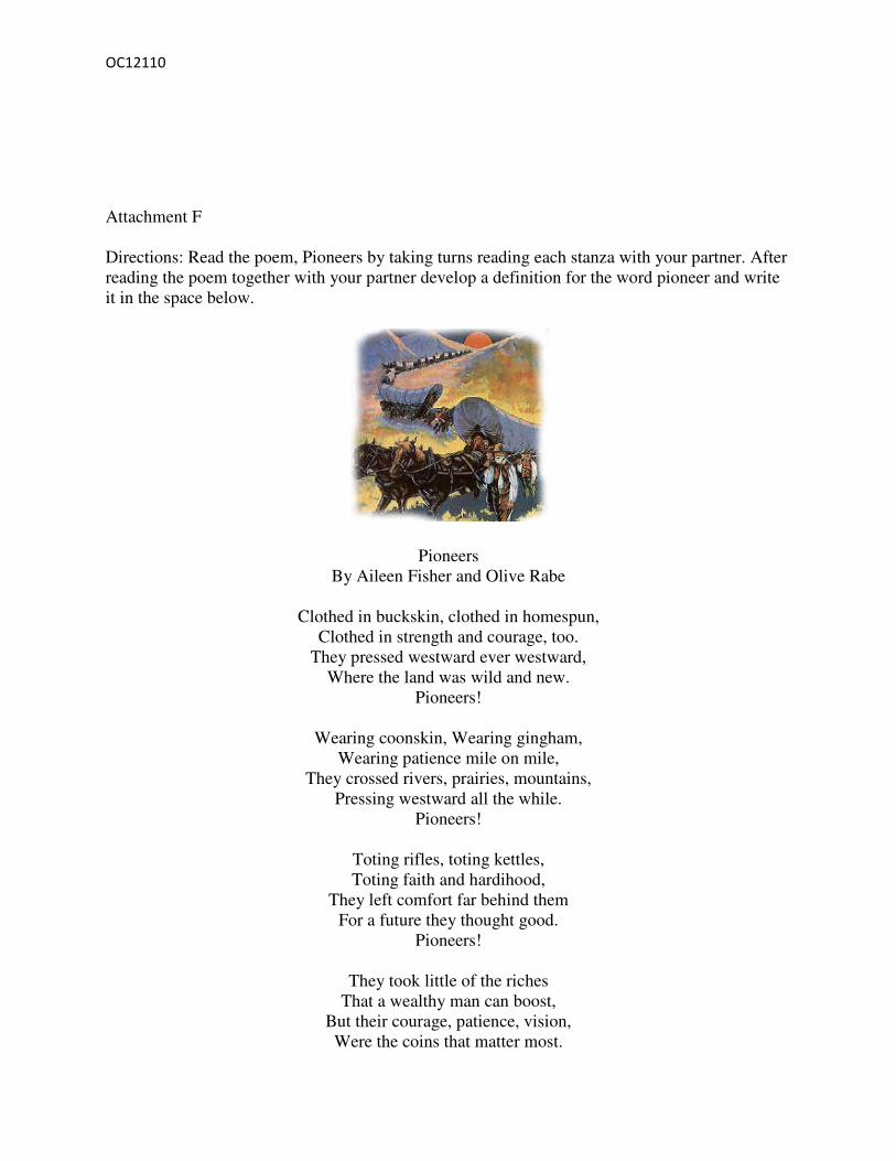
Attachment F
Directions: Read the poem, Pioneers by taking turns reading each stanza with your partner. After
reading the poem together with your partner develop a definition for the word pioneer and write
it in the space below.
Pioneers
By Aileen Fisher and Olive Rabe
Clothed in buckskin, clothed in homespun,
Clothed in strength and courage, too.
They pressed westward ever westward,
Where the land was wild and new.
Pioneers!
Wearing coonskin, Wearing gingham,
Wearing patience mile on mile,
They crossed rivers, prairies, mountains,
Pressing westward all the while.
Pioneers!
Toting rifles, toting kettles,
Toting faith and hardihood,
They left comfort far behind them
For a future they thought good.
Pioneers!
They took little of the riches
That a wealthy man can boost,
But their courage, patience, vision,
Were the coins that matter most.

OC12110
Pioneers!
Pioneer can be defined as…..
Attachment H

OC12110
OC12110

OC12110
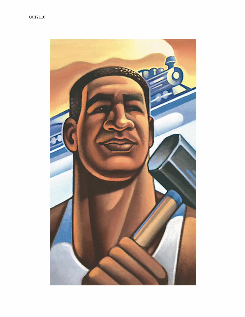
John Henry
OC12110
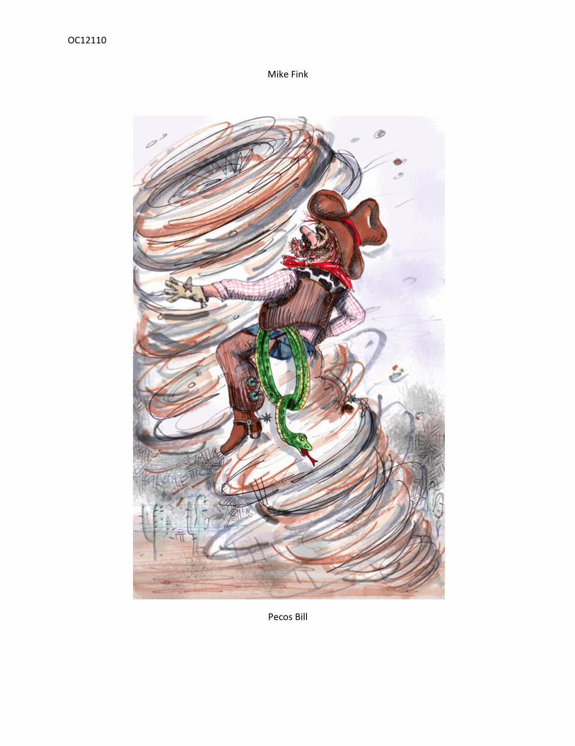
Mike Fink
Pecos Bill

OC12110
Paul Bunyan
OC12110
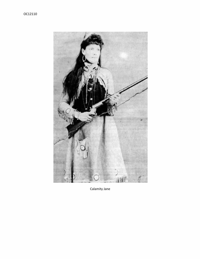
Calamity Jane

OC12110
Sally Ann Crockett

OC12110
Attachment I
Dinner Party
Directions: Each student will take on the role of the tall tale character from the story he/she read
and constructed a Body Biography on in his/her group. In the Dinner Party group students will
talk with one another answering the following questions from their tall tale character’s
perspective: 1. What is your name?
2. Where are you from?
3. Where have you traveled?
4. Tell us your story.
5. Why is your story important to American History?
6. If you were living in America today, what would be your favorite thing to do? Why?
7. How can you use Facebook to help you on your quest?

OC12110