Embed Size (px)
Citation preview
Proponents’ Explanation: The “Public Facilities” designation for El Toro is deleted. ThisMap is revised to show the land use designations depicted in Exhibit 10, “Orange County’sCentral Park.”
EXHIBIT 1
4
Enlarged for easeof viewing
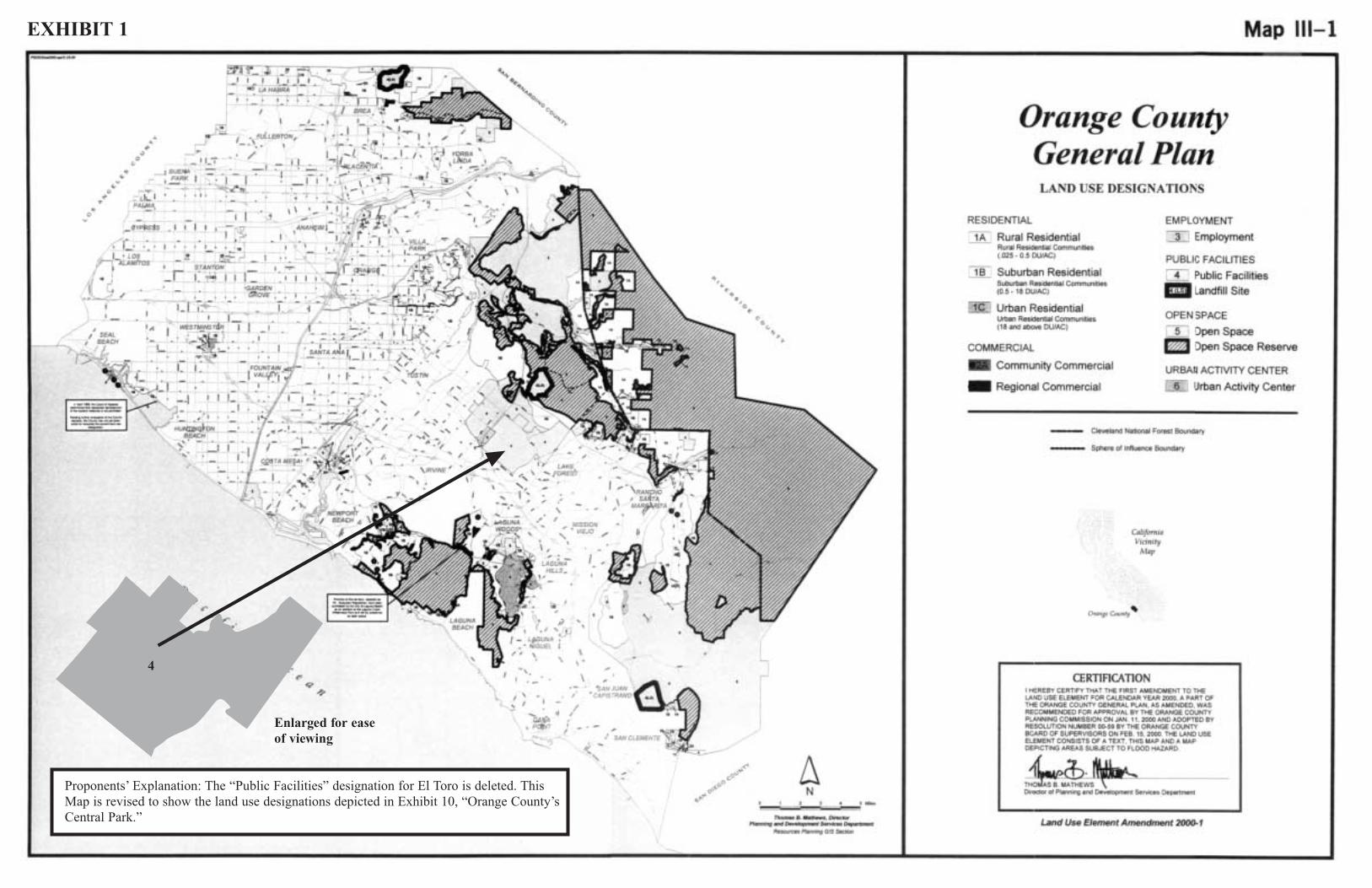
Proponents’ Explanation: This Figure is deleted in its entirety, consistent with theland use designations depicted in Exhibit 10, “Orange County’s Central Park.”
EXHIBIT 2
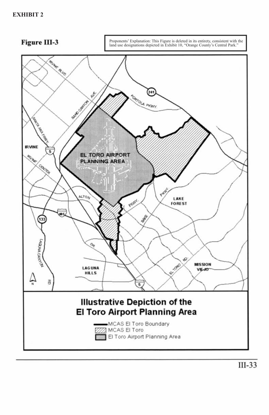
Proponents’ Explanation: This Figure is revised to showthe circulation components depicted in Exhibit 10,“Orange County’s Central Park,” to show Trabuco as a 6-lane Major Arterial Highway, Millennium Parkway as a 4-lane Primary Arterial Highway and Marine Way as a 4-lane undivided Secondary Arterial Highway.
EXHIBIT 3
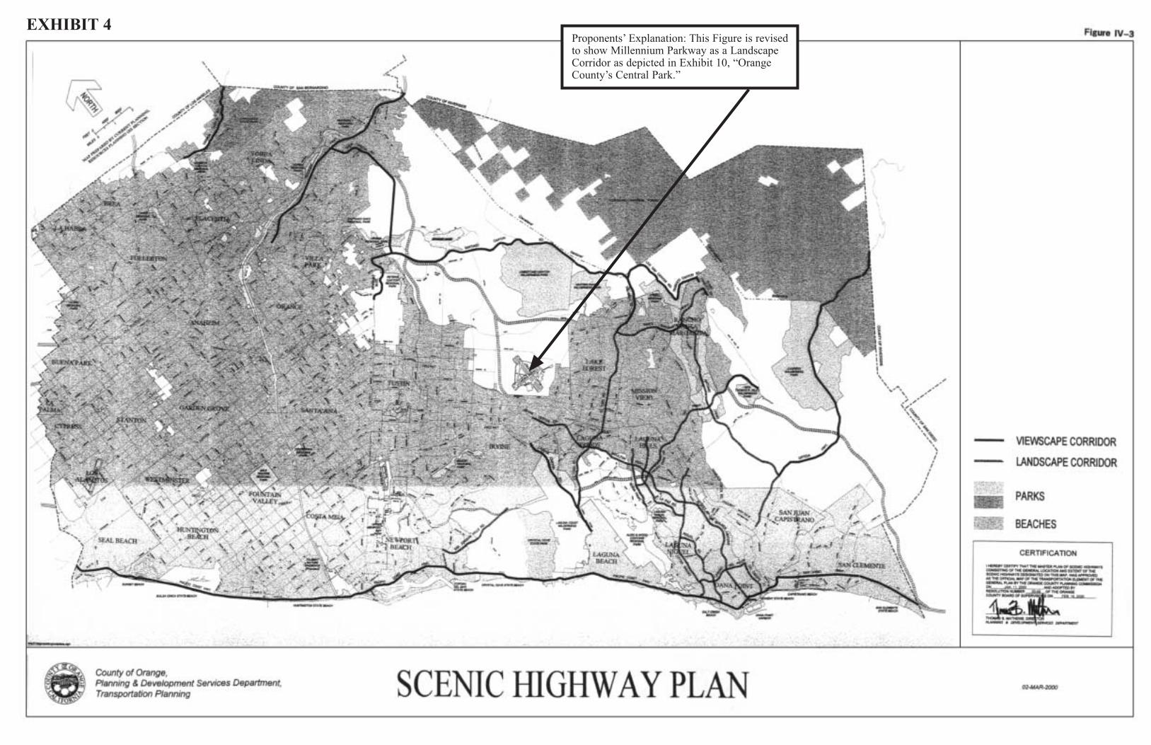
Proponents’ Explanation: This Figure is revised to show Millennium Parkway as a LandscapeCorridor as depicted in Exhibit 10, “OrangeCounty’s Central Park.”
EXHIBIT 4
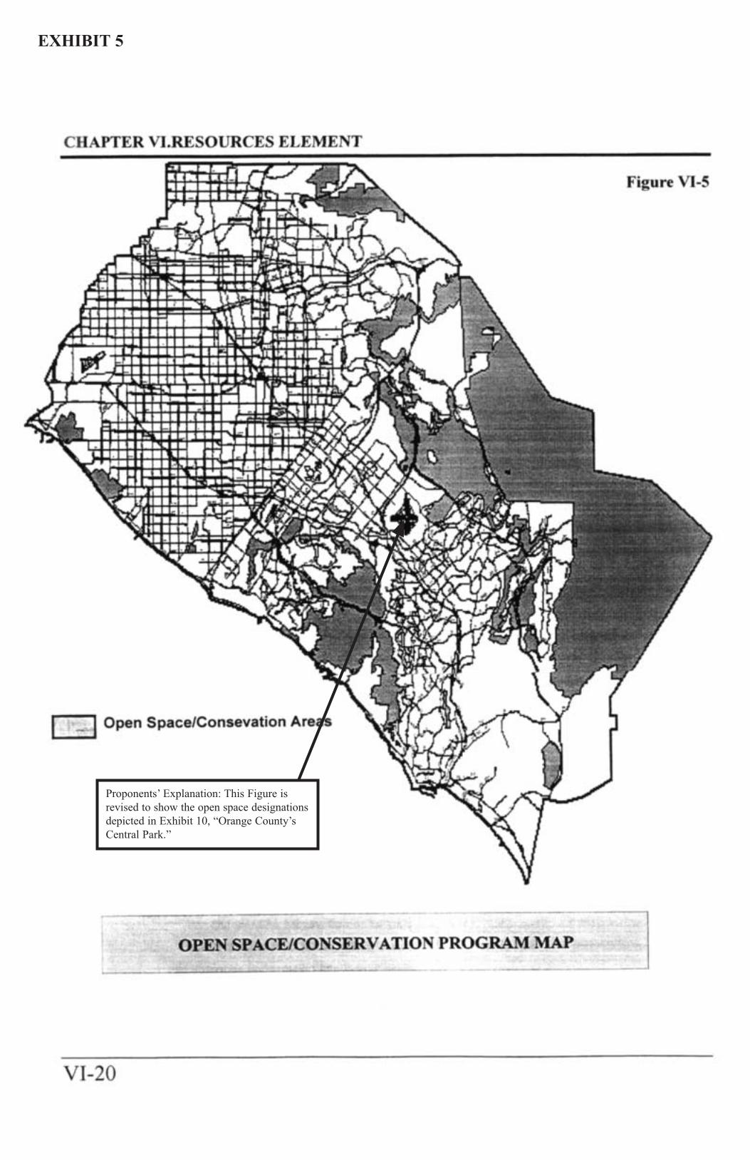
Proponents’ Explanation: This Figure isrevised to show the open space designationsdepicted in Exhibit 10, “Orange County’sCentral Park.”
EXHIBIT 5
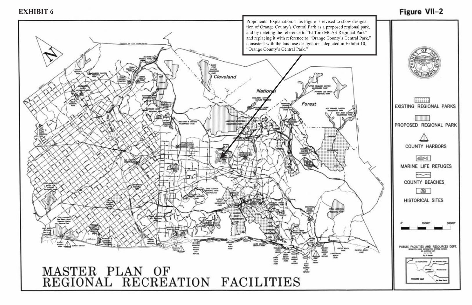
Proponents’ Explanation: This Figure is revised to show designa-tion of Orange County’s Central Park as a proposed regional park,and by deleting the reference to “El Toro MCAS Regional Park”and replacing it with reference to “Orange County’s Central Park,” consistent with the land use designations depicted in Exhibit 10,“Orange County’s Central Park.”
EXHIBIT 6
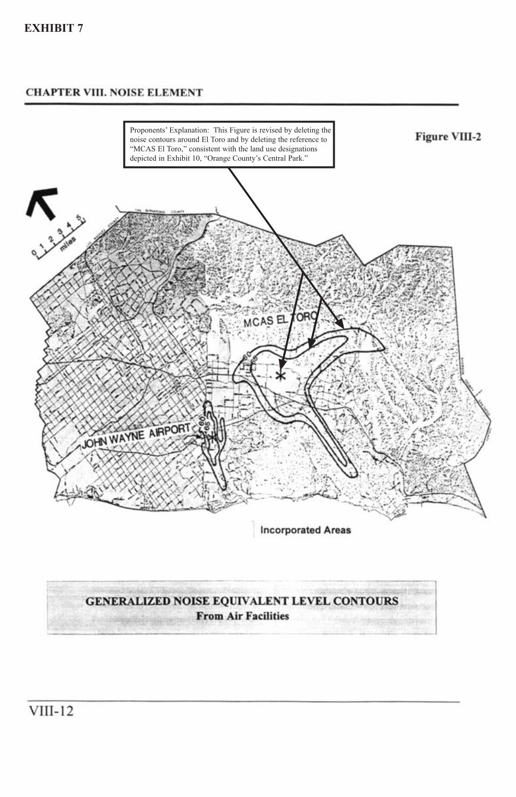
Proponents’ Explanation: This Figure is revised by deleting thenoise contours around El Toro and by deleting the reference to“MCAS El Toro,” consistent with the land use designationsdepicted in Exhibit 10, “Orange County’s Central Park.”
EXHIBIT 7
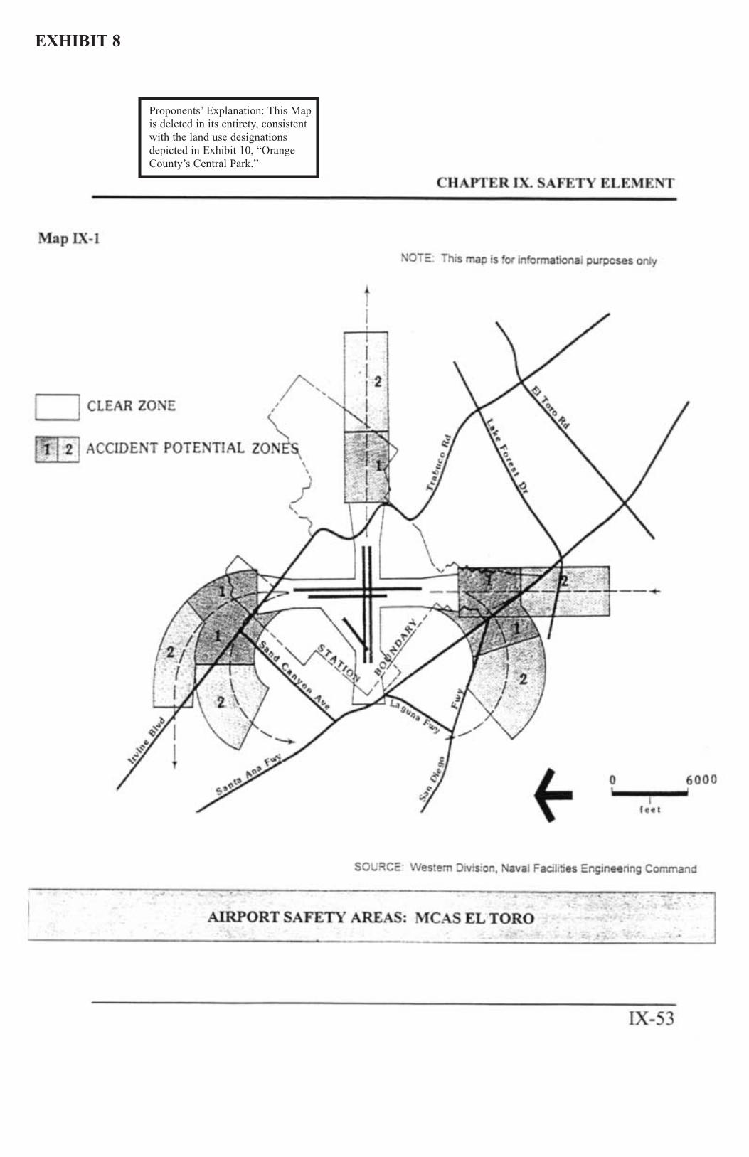
Proponents’ Explanation: This Mapis deleted in its entirety, consistentwith the land use designationsdepicted in Exhibit 10, “OrangeCounty’s Central Park.”
EXHIBIT 8
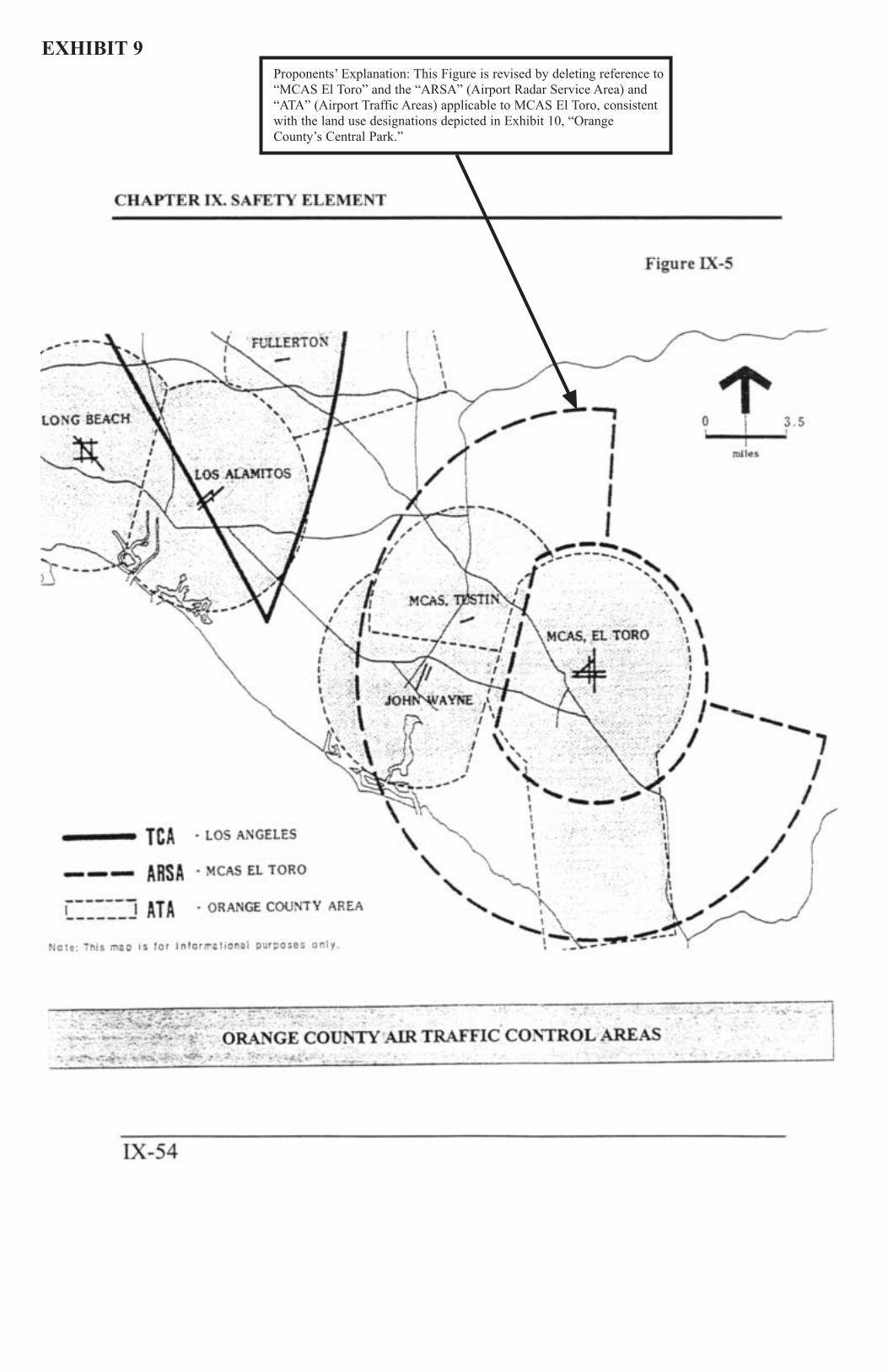
Proponents’ Explanation: This Figure is revised by deleting reference to“MCAS El Toro” and the “ARSA” (Airport Radar Service Area) and“ATA” (Airport Traffic Areas) applicable to MCAS El Toro, consistentwith the land use designations depicted in Exhibit 10, “OrangeCounty’s Central Park.”
EXHIBIT 9
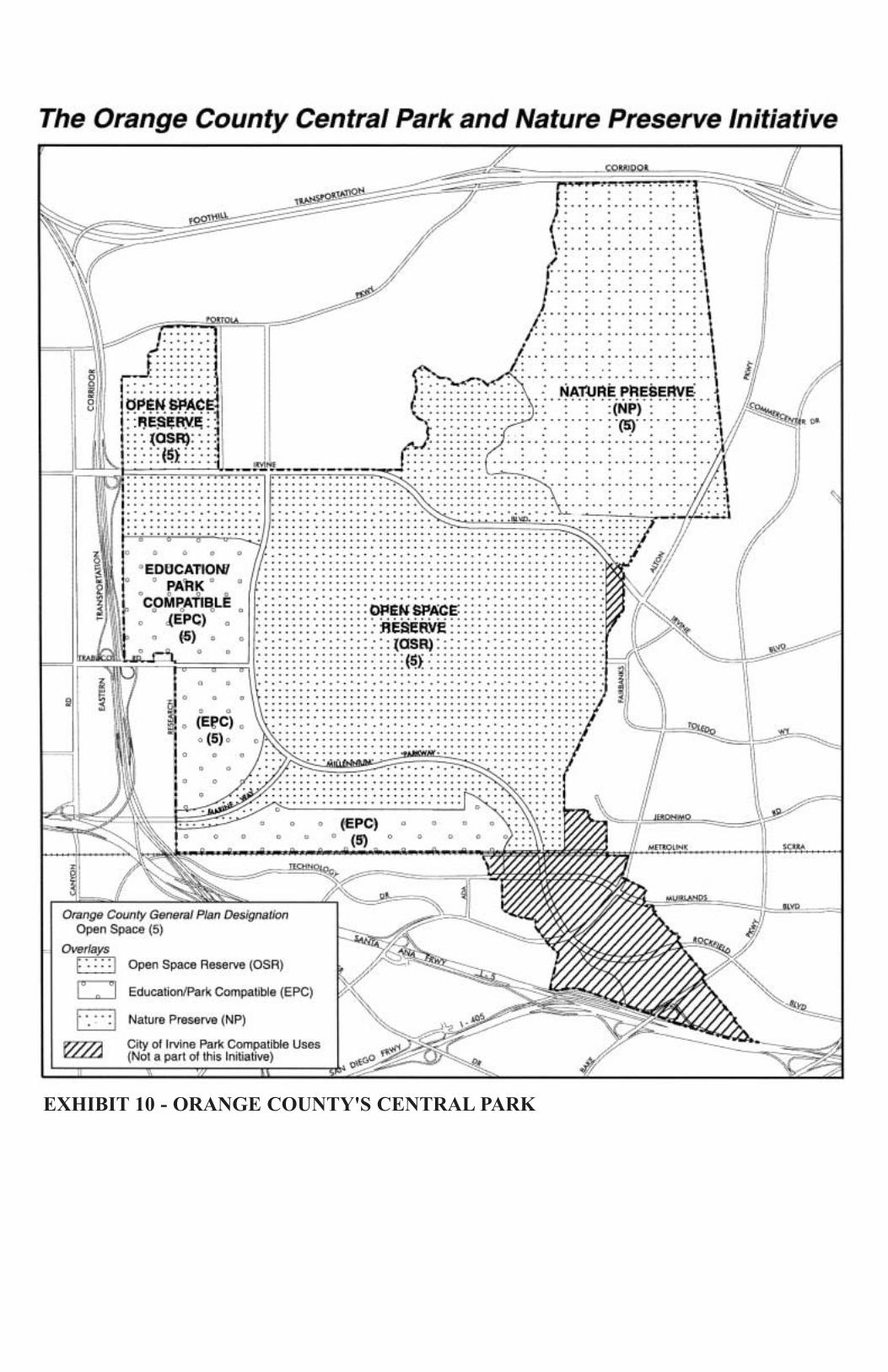
EXHIBIT 10 - ORANGE COUNTY'S CENTRAL PARK