Embed Size (px)
Citation preview
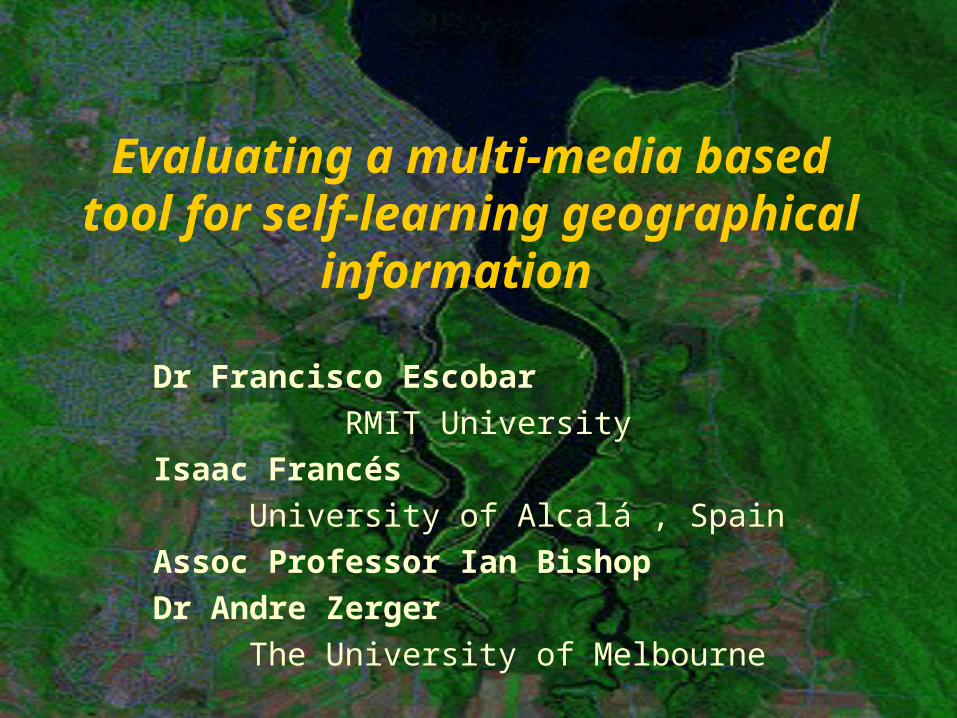
Evaluating a multi-media based tool for self-learning geographical
information
Dr Francisco EscobarRMIT University
Isaac FrancésUniversity of Alcalá , Spain
Assoc Professor Ian BishopDr Andre Zerger
The University of Melbourne
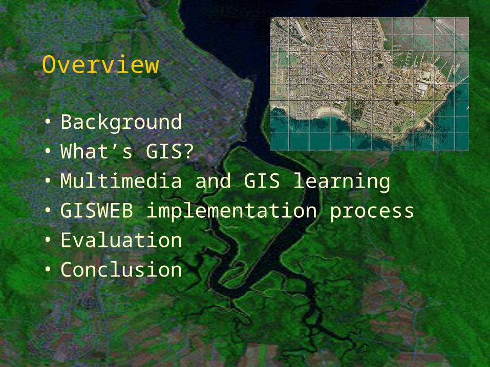
Overview
• Background• What’s GIS?• Multimedia and GIS learning• GISWEB implementation process• Evaluation• Conclusion
Background• 1999 Priming grant,
$6,000 – University of Melbourne
• 2000 T&L(M&ET) project grant - University of Melbourne
• Evaluation project – University of Alcala de Henares, Spain. 2001-2002
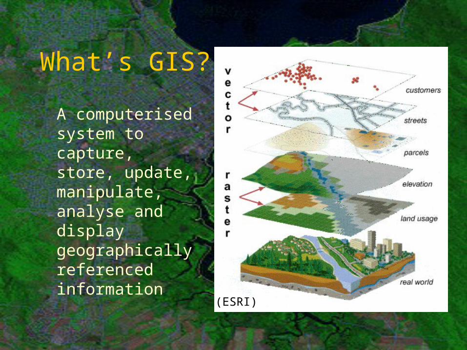
What’s GIS?
A computerised system to capture, store, update, manipulate, analyse and display geographically referenced information (ESRI)
Multimedia and GIS learning
• Suitability for multimedia:– New discipline– Spatially dynamic concepts– Algorithms shielded by GIS
software– Multiple disciplines /
backgrounds
• Pioneers:– GISTutor: Birbeck College London– ESRI Virtual Campus
• Our approach:– Latest technology and WWW– Full interactivity– Free access– Generic approach (not software based)
Multimedia and GIS learning
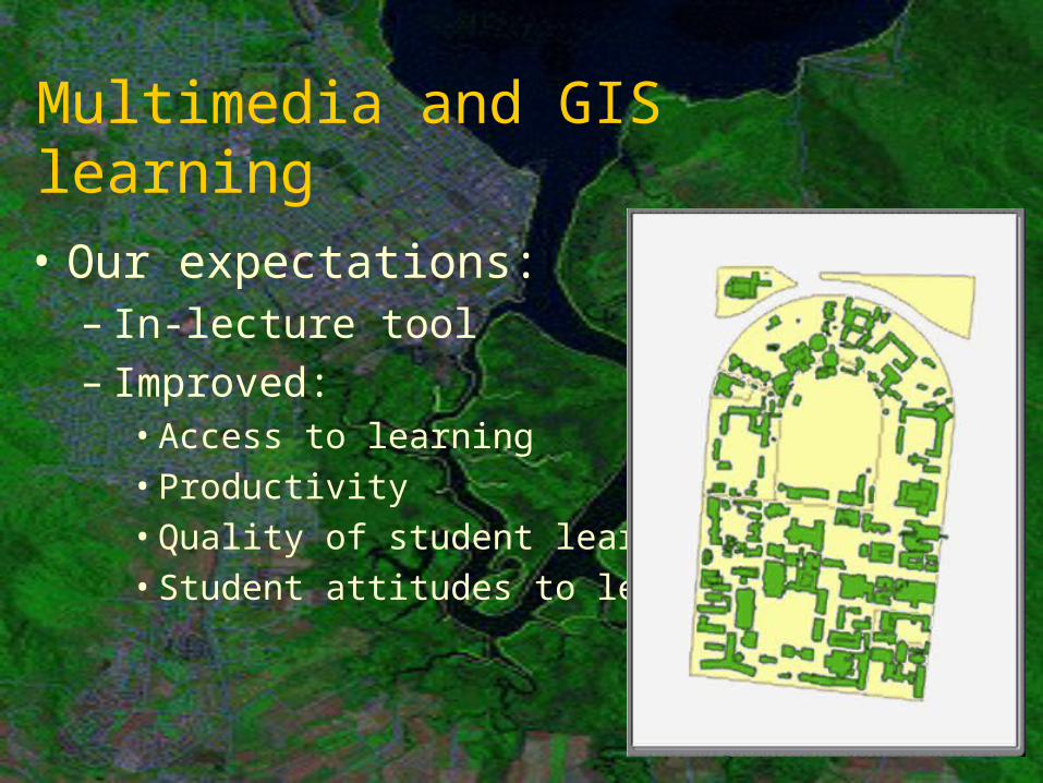
• Our expectations:– In-lecture tool– Improved:
• Access to learning• Productivity• Quality of student learning• Student attitudes to learning
Multimedia and GIS learning
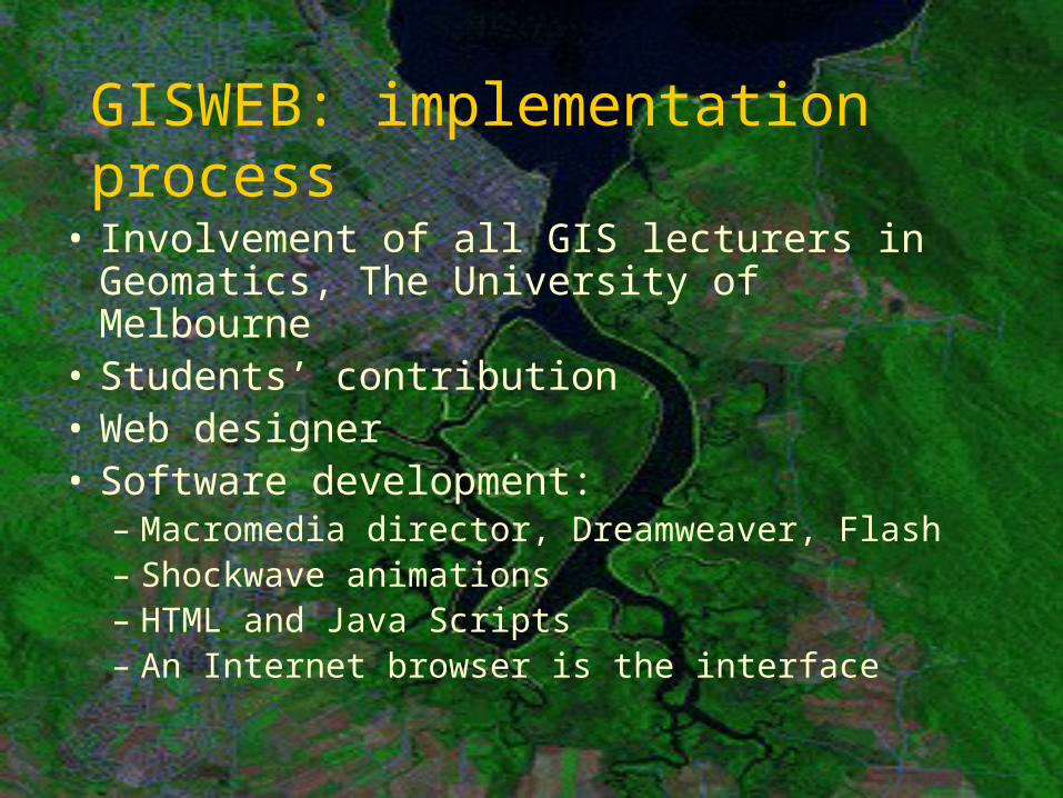
GISWEB: implementation process
• Involvement of all GIS lecturers in Geomatics, The University of Melbourne
• Students’ contribution• Web designer• Software development:
– Macromedia director, Dreamweaver, Flash– Shockwave animations– HTML and Java Scripts– An Internet browser is the interface
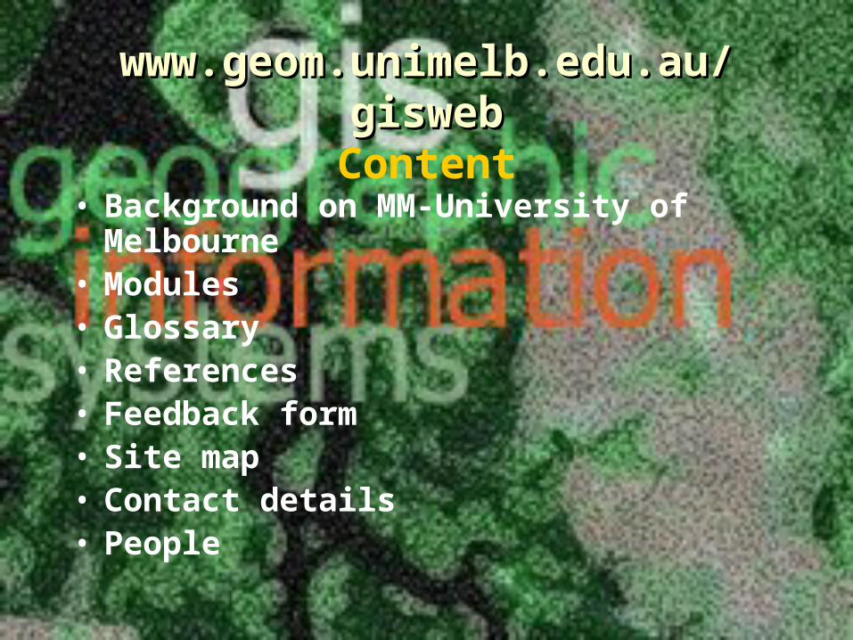
www.geom.unimelb.edu.au/www.geom.unimelb.edu.au/giswebgiswebContent
• Background on MM-University of Melbourne
• Modules• Glossary• References• Feedback form• Site map• Contact details• People
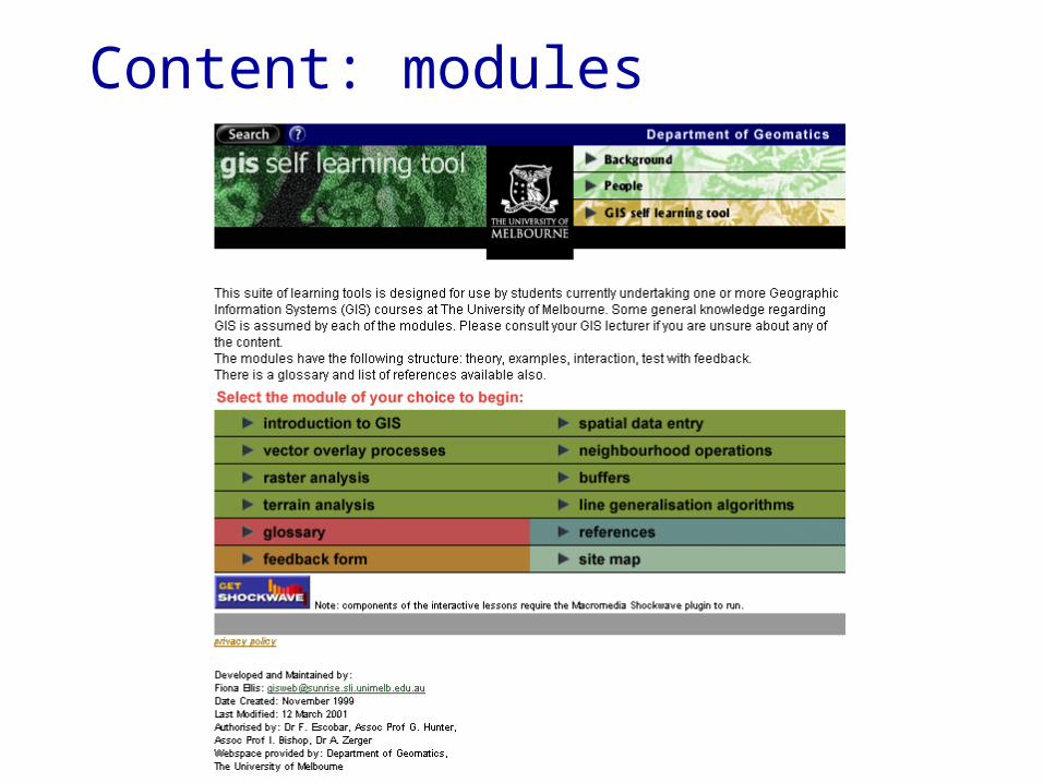
Content: modules
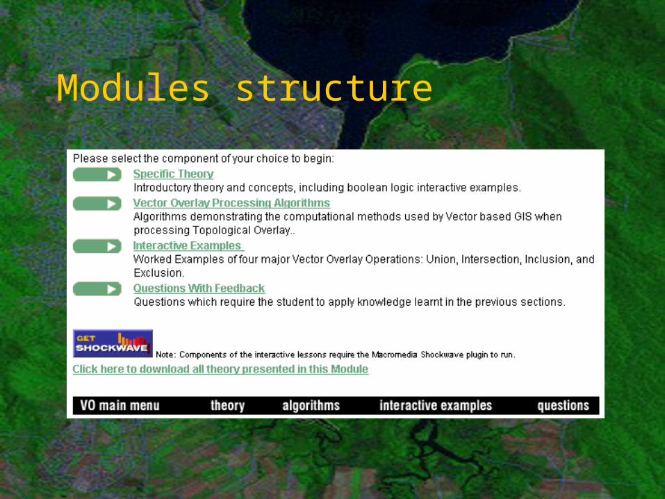
Modules structure
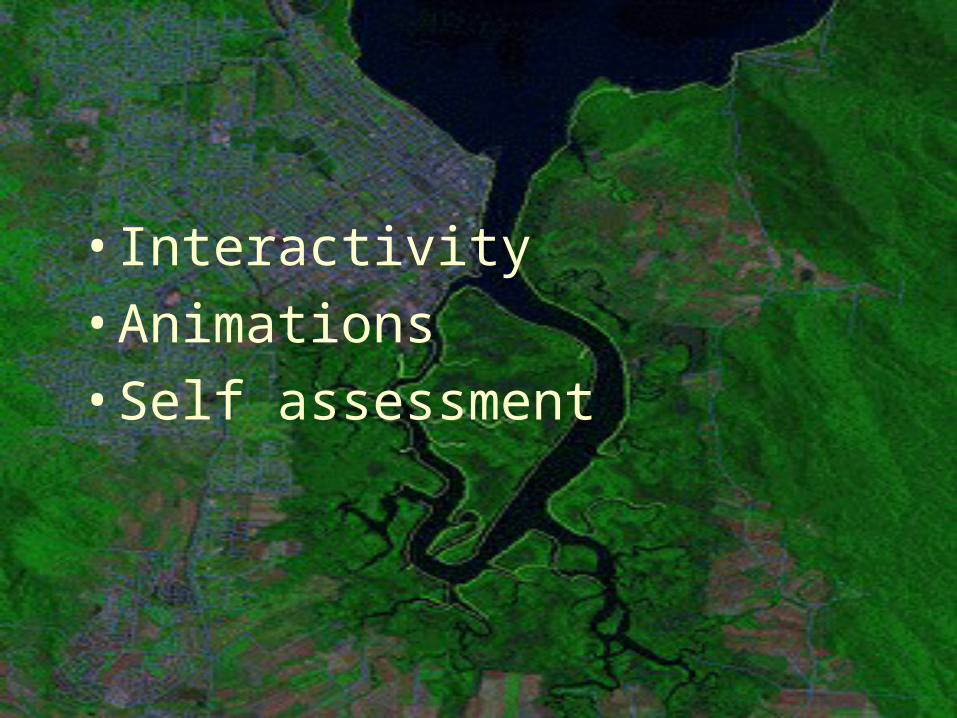
•Interactivity•Animations•Self assessment
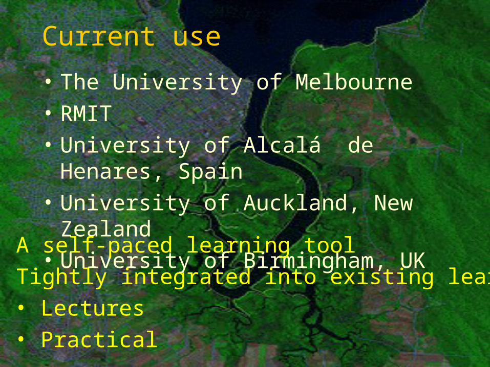
Current use
• The University of Melbourne• RMIT• University of Alcalá de Henares,
Spain• University of Auckland, New
Zealand• University of Birmingham, UK• A self-paced learning tool• Tightly integrated into existing learning
• Lectures• Practical
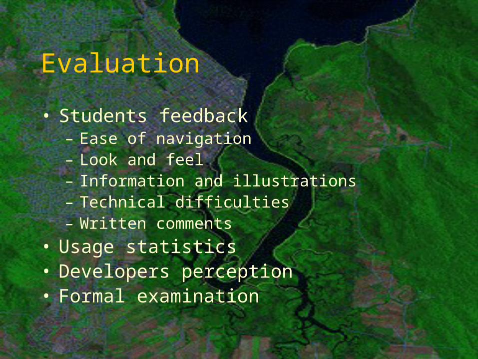
Evaluation
• Students feedback– Ease of navigation– Look and feel– Information and illustrations– Technical difficulties– Written comments
• Usage statistics• Developers perception• Formal examination
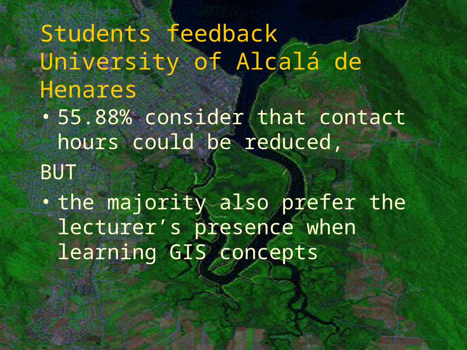
Students feedbackUniversity of Alcalá de Henares
• 55.88% consider that contact hours could be reduced,
BUT• the majority also prefer the
lecturer’s presence when learning GIS concepts
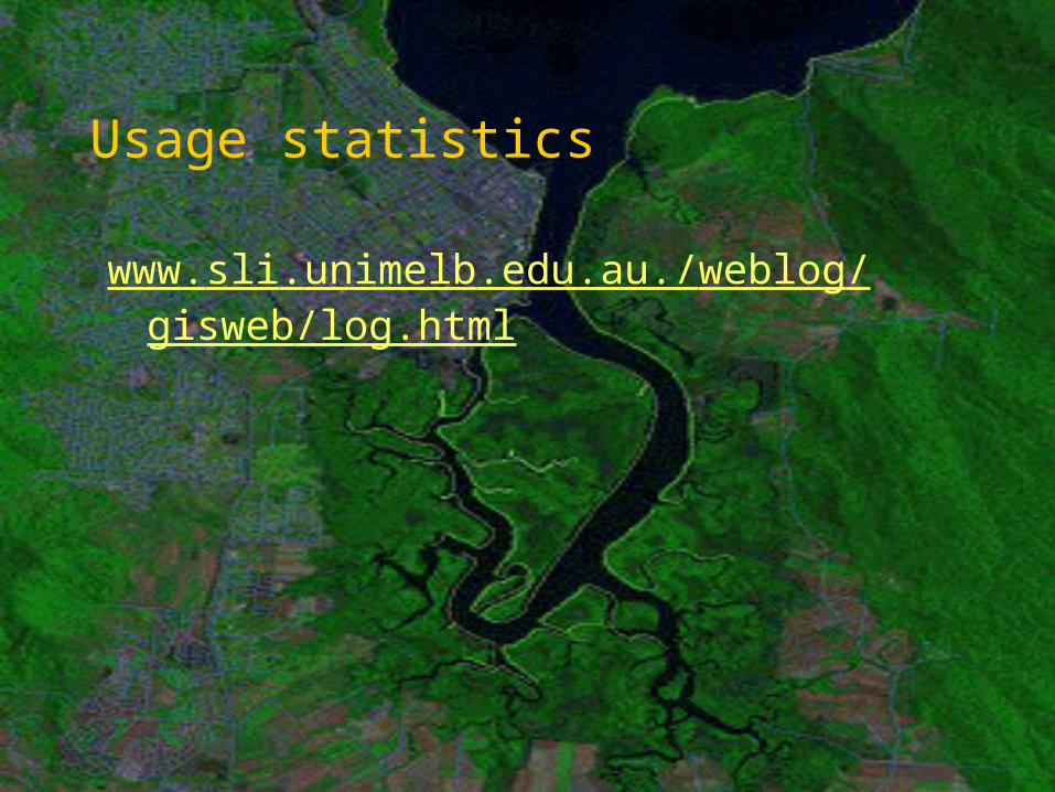
Usage statistics
www.sli.unimelb.edu.au./weblog/gisweb/log.html
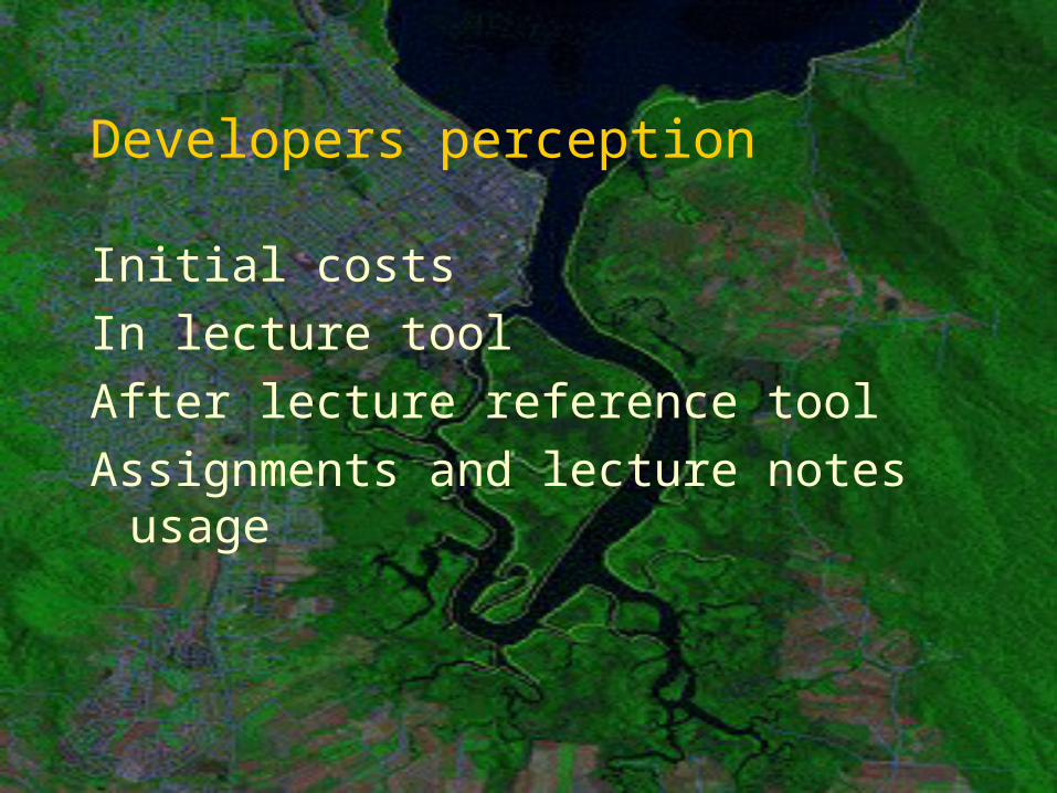
Developers perception
Initial costsIn lecture toolAfter lecture reference toolAssignments and lecture notes
usage
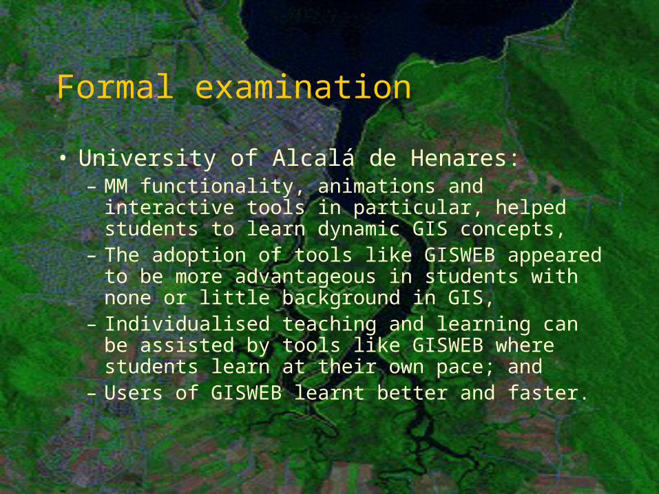
Formal examination
• University of Alcalá de Henares:– MM functionality, animations and interactive
tools in particular, helped students to learn dynamic GIS concepts,
– The adoption of tools like GISWEB appeared to be more advantageous in students with none or little background in GIS,
– Individualised teaching and learning can be assisted by tools like GISWEB where students learn at their own pace; and
– Users of GISWEB learnt better and faster.
Issues
• Cost: time and money• Difficulties to find skilled
programmers• Obsolescence
Conclusions
• Positive feedback• Relevance to learning has been
determined• Further evidence required• Further developments:
– Problem based modules
Acknowledgments
The team:Fiona, Gary, Joianna, Jessica, and Karen