Embed Size (px)
Citation preview
EuroRoadS
A Pan European Road Data Solution
Mia Wallberg, Lantmäteriet
National Land Survey of Sweden
11th World Congress on ITS, Nagoya, Aichi 2004
• Lack of common system• Lack of standardised data• Big investments• Wider use of data• Increasing demand on coverage, correctness, data structure and quality
• Fragmentation
Situation today
• Access & make use of data • Access to up-to date road data• Costs• Extended cooperationbetween European countries
• INSPIRE
Why EuroRoadS?
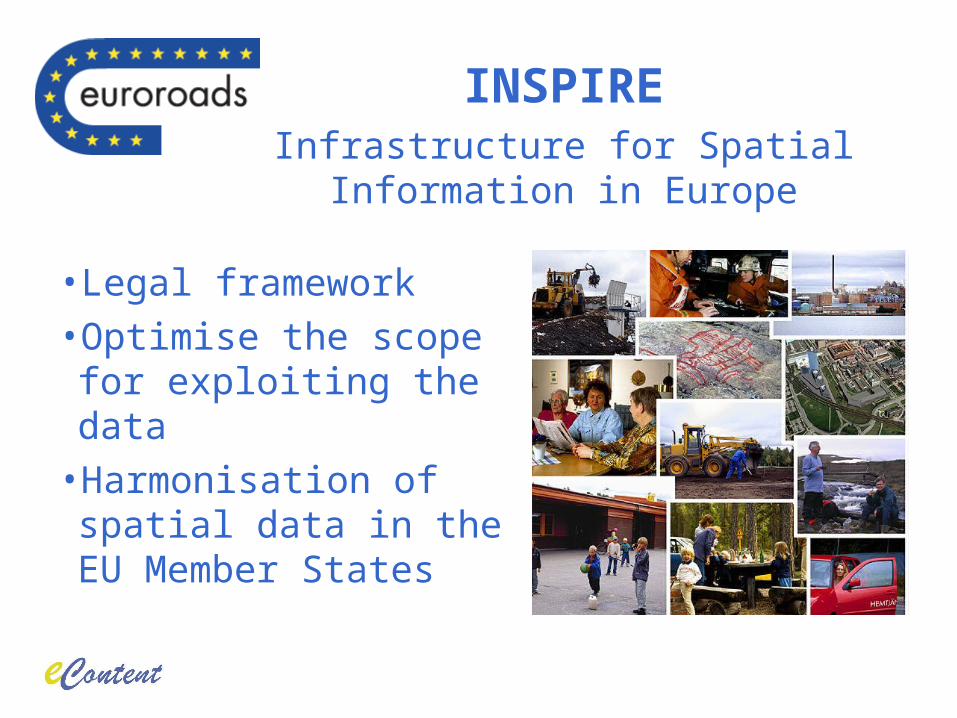
• Legal framework• Optimise the scope for exploiting the data
• Harmonisation of spatial data in the EU Member States
INSPIREInfrastructure for Spatial Information in Europe
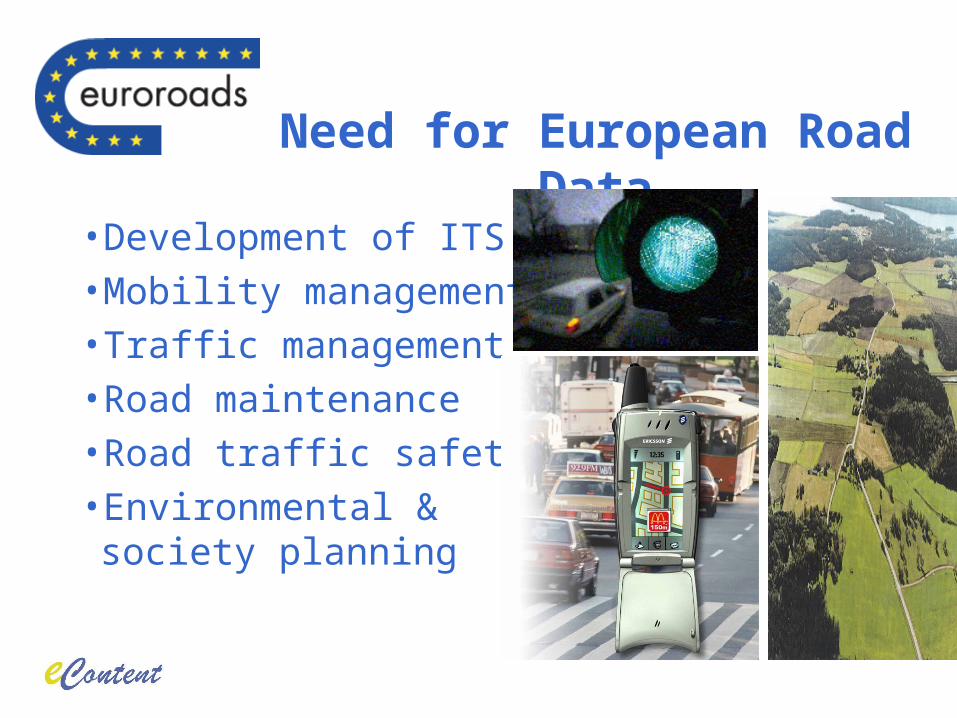
• Development of ITS• Mobility management• Traffic management• Road maintenance• Road traffic safety• Environmental & society planning
Need for European Road Data
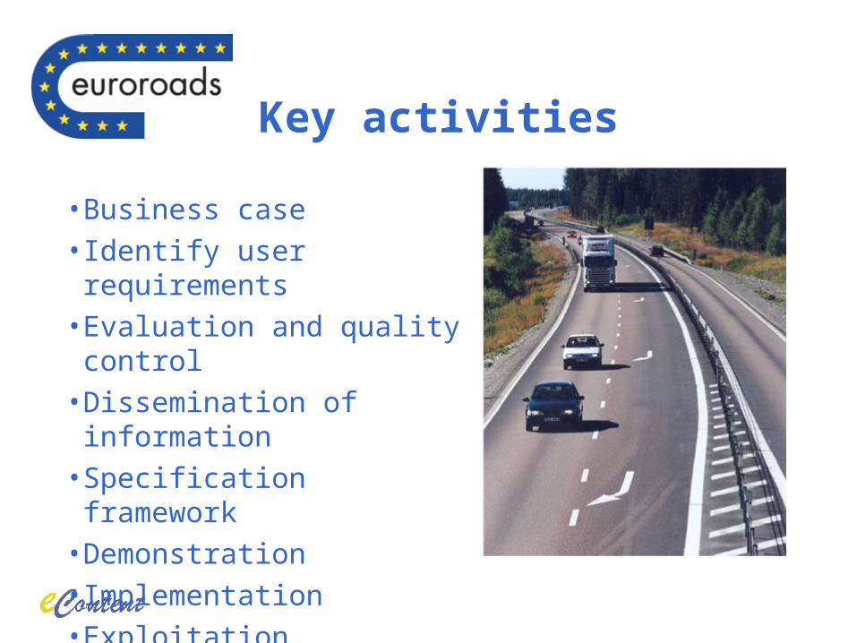
Key activities
• Business case• Identify user requirements• Evaluation and quality control• Dissemination of information• Specification framework• Demonstration• Implementation• Exploitation
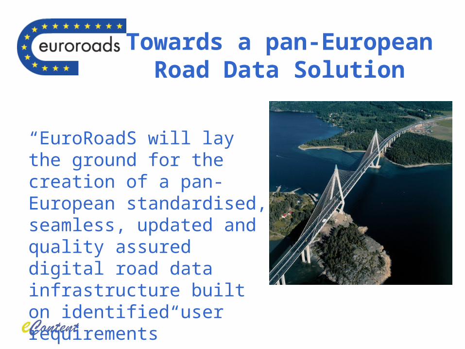
Towards a pan-European Road Data Solution
“EuroRoadS will lay the ground for the creation of a pan-European standardised, seamless, updated and quality assured digital road data infrastructure built on identified user requirements”
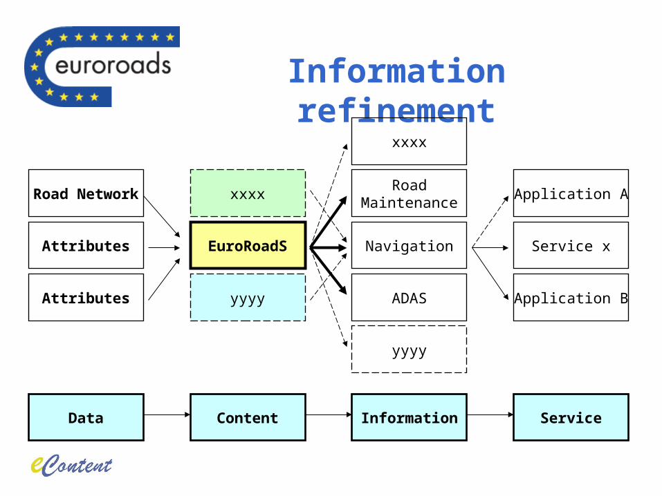
Information refinement
Data Content Information Service
Attributes EuroRoadS Navigation Service x
Attributes
Road Network
yyyy
xxxx
ADAS
RoadMaintenance
Application A
Application B
yyyy
xxxx
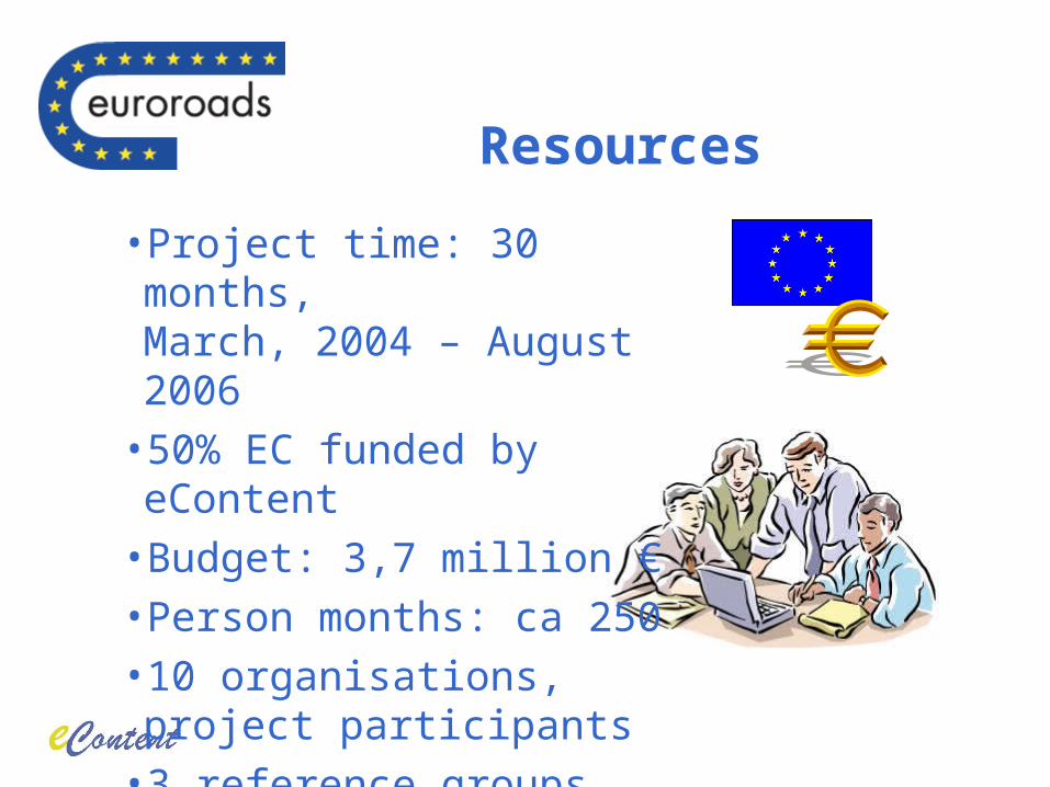
• Project time: 30 months,March, 2004 – August 2006
• 50% EC funded by eContent• Budget: 3,7 million €• Person months: ca 250• 10 organisations,project participants
• 3 reference groups
Resources
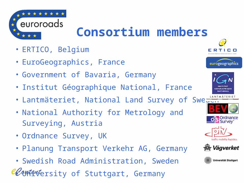
• ERTICO, Belgium
• EuroGeographics, France
• Government of Bavaria, Germany
• Institut Géographique National, France
• Lantmäteriet, National Land Survey of Sweden
• National Authority for Metrology and Surveying, Austria
• Ordnance Survey, UK
• Planung Transport Verkehr AG, Germany
• Swedish Road Administration, Sweden
• University of Stuttgart, Germany
Consortium members
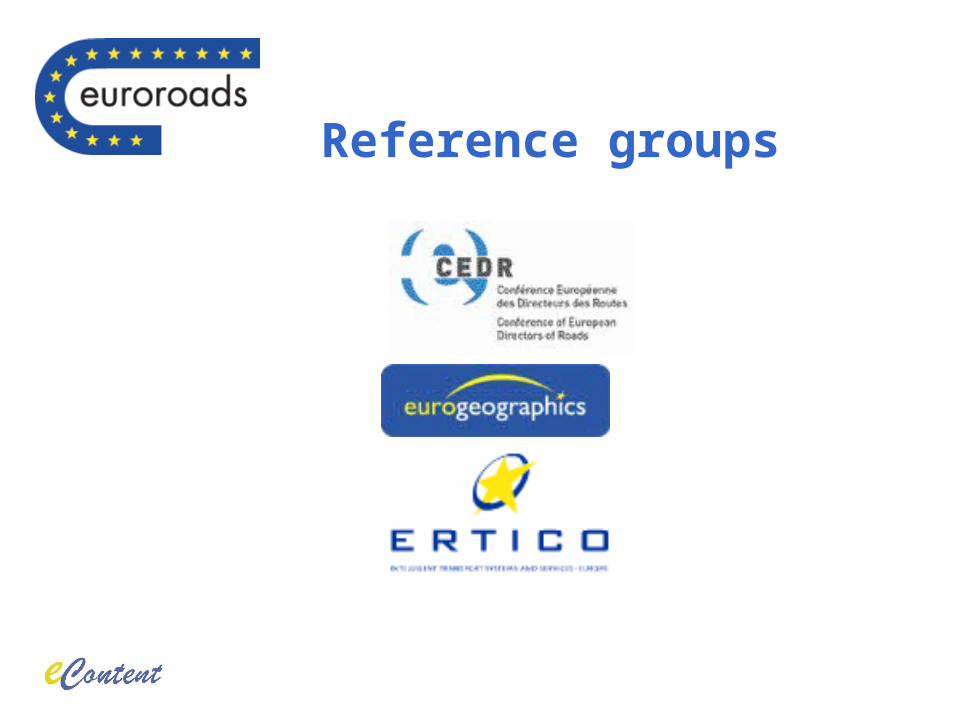
Reference groups
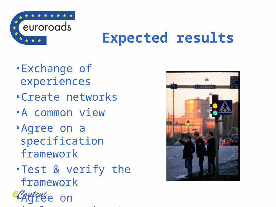
• Exchange of experiences• Create networks• A common view• Agree on a specification framework
• Test & verify the framework• Agree on implementation & exploitation plan
Expected results
• A clear need for a pan-European road data solution
• Build upon an infrastructural approach - INSPIRE
• Similarities and differences between national approaches
• Build on ISO-standard
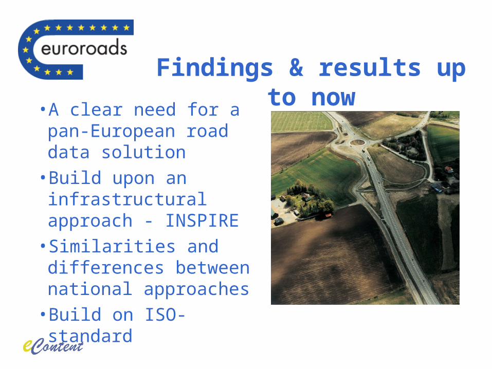
Findings & results up to now
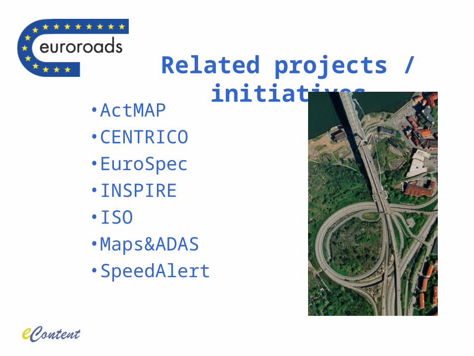
• ActMAP• CENTRICO• EuroSpec• INSPIRE• ISO• Maps&ADAS• SpeedAlert
Related projects / initiatives
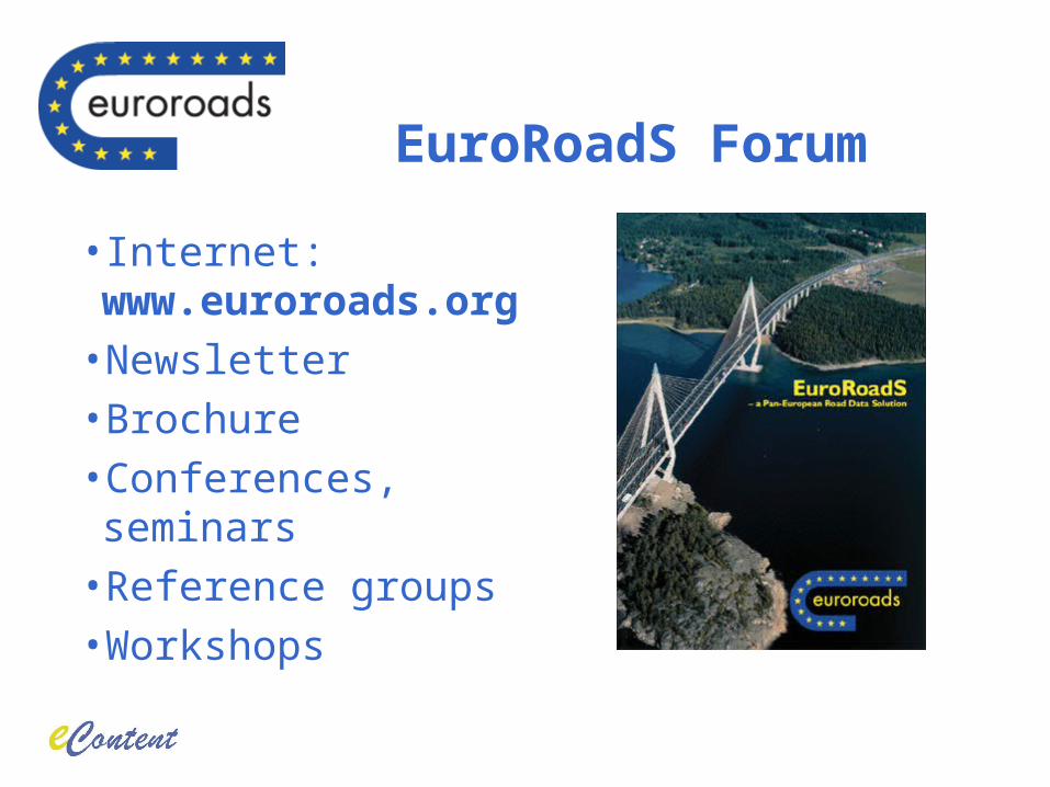
• Internet: www.euroroads.org
• Newsletter• Brochure• Conferences, seminars• Reference groups• Workshops
EuroRoadS Forum
Thank You for Your attention!
www.euroroads.org