Embed Size (px)
Citation preview
International Research Journal of Engineering and Technology (IRJET) e-ISSN: 2395 -0056
Volume: 03 Issue: 06 | June-2016 www.irjet.net p-ISSN: 2395-0072
© 2016, IRJET ISO 9001:2008 Certified Journal Page 1659
ESTIMATION OF FLOOD MAGNITUDES FOR VARIOUS RETURN
PERIODS FOR SELECTED STRETCH OF DUDHGANGA RIVER
Abhijit A. Hosurkar1, A. V. Shivapur2, Madhusudhan M.S3
1Asst. Professor, Sanjay Ghodawat Engg. College, Kolhapur, Maharashtra, India 2Professor, Dept. of Water and Land Management, CPGS, VTU Belagavi, Karnataka, India
3M.tech Student, Dept. of Water and Land Management, CPGS, VTU Belagavi, Karnataka, India
---------------------------------------------------------------------***---------------------------------------------------------------------Abstract – This paper presents an estimation of flood peak magnitudes for various return periods on selected stretch of Dudhganga River using commonly used frequency distributions for periods from 1974 to 2014. The Gumbel’s Extreme Value type-I and Log Pearson type-III distributions have been used in the present analysis and the best fit for the observed data is found out. Both graphical as well as statistical methods are used to test the acceptance of results obtained from distributions. The results indicated that Gumbel’s Extreme Value type-I fits better than the other distribution for the observed annual flood peaks of Farale station on Duhudganga River. The results are helpful for the hydraulic and structural engineers in the design of various structures like bridges, dams, levees, and spillways etc. The flood maps can also be prepared corresponding to various return periods for the selected stretch to propose the flood mitigation measure. Key Words: Frequency distribution, return period, Gumbel’s Extreme Value type-I, Log Pearson type-III
1. INTRODUCTION Increase in population will increase the demands upon vital
resources like water are becoming ever more severe. From
the history it has been found that most of the human
settlement started close to the river streams because of
proximity to water, whether it is rural and urban. At times
this useful water becomes dangerous to both human and
animal life due to a situation like floods.
At the same time, due to decrease in permeability, infiltration
in the urban area usually decreases and thereby chances of
flooding increases. Thereby it affects the life of the people,
living animals and damages the property. These include
destruction of houses, electric poles, railways, canals, erosion
of soil which may damages the road path. Due to this flooding
most of the floating material get transported to anywhere in
the low lying area, which further causes hindrances to
smooth functioning of certain structures. Sometimes it also
affects human health. To reduce the damage many efforts are
made to control flood either by structural or non structural
measure. Therefore it becomes necessary to take precaution
against flood occurrence. Hence it is imperative to know the
magnitude and the frequency of likely flood in the region.
In order to estimate the annual flood peaks for various return
periods, flood frequency analysis is carried out with the
available observed discharge data.
2. STUDY AREA AND DATA USED The Dudhaganga River is a tributary of the Krishna in
western India. It originates in Sindhudurg district of
Maharashtra in the Western Ghats and flows eastward
through Kolhapur district and Belgaum district in Karnataka
before joining the Krishna.
The river is dammed to form the Kalammawadi reservoir in
the west of Kohlapur district. Kalammawadi is a prestigious
canal irrigation project on the river Dudhaganga at Asangaon
in Radhanagari taluka district Kolhapur, Topo sheet No.47 H
14/15/16, L 1/2/3/5/6/7, Longitude North (N)16° 21’ 00” N
and Latitude East (E) 74° 01’ 00” E and is a joint venture of
States of Maharashtra and Karnataka.
The total command area of the project is 93,209 ha. (73,340
ha. in Maharashtra and 29,869 ha. in Karnataka). Presently, it
irrigates an area of 59933 ha [46937 ha in Maharashtra and
12996 ha in Karnataka] partly by flow and partly by lift. In
Rainy season due to heavy rainfall and as per the survey done
and by the knowledge from the villagers after conversation,
the villages like Turambe, Bidri, Walve, Nigave, Chuye,
Bachani will be affected by flooding. In the present case, a
small stretch of Dudhganga River from Bidri to Bachani
having the river length 16.4 km is selected for the analysis as
the place is experiencing floods frequently. Fig. 1 illustrates
the stretch selected on Dudhganga River for the analysis.

International Research Journal of Engineering and Technology (IRJET) e-ISSN: 2395 -0056
Volume: 03 Issue: 06 | June-2016 www.irjet.net p-ISSN: 2395-0072
© 2016, IRJET ISO 9001:2008 Certified Journal Page 1660
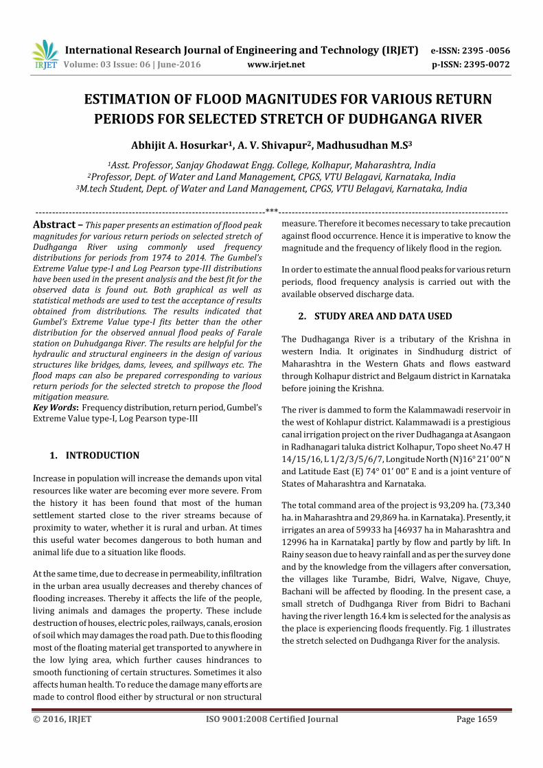
Fig -1: Dhudganaga River at the station Bidri village
The data on annual flood peaks were collected for the Farale
station, located at the upstream part of the selected stretch at
Bidari village from the period 1974 to 2014.
Table -1: Annual Flood Peak values for river Dudhganga at Farale Station
Sl. No.
Year Magnitude of Annual Peak
Flood(cumecs) Sl. No Year
Magnitude of Annual Peak
Flood(cumecs)
1 1974 401.64 22 1995 7272.4
2 1975 356.02 23 1996 5644.73
3 1976 464.58 24 1997 10468.99
4 1977 393.97 25 1998 4607.547
5 1978 472.28 26 1999 4216.984
6 1979 627.75 27 2000 3826.421
7 1980 375.42 28 2001 1254.214
8 1981 330.47 29 2002 5066.348
9 1982 377.25 30 2003 2200.961
10 1983 362.81 31 2004 13091.81
11 1984 573.08 32 2005 16796.16
12 1985 342.53 33 2006 10104.81
13 1986 1418.85 34 2007 7440.244
14 1987 344.11 35 2008 9859.861
15 1988 859.79 36 2009 6119.051
16 1989 1375.46 37 2010 8473.745
17 1990 471.09 38 2011 6699.009
18 1991 726.33 39 2012 5752.833
19 1992 7583.8 40 2013 7955.737
Sl. No.
Year Magnitude of Annual Peak
Flood(cumecs) Sl. No Year
Magnitude of Annual Peak
Flood(cumecs)
20 1993 181.59 41 2014 5698.763
21 1994 13454.4
3. METHODOLOGY AND ANALYSIS
In the present study, data collected from the department
were subjected to frequency analysis over two commonly
used frequency distributions (Fig 2). To know the best fit
distribution Graphical as well as statistical methods have
been used. Then flood magnitudes corresponding to various
return periods were determined. The flow chart given below
highlights the work flow.
Fig -2: Work Flow There are many probability distributions that have been
found to be useful for hydrologic frequency analysis. Of the
various statically methods available, the Log-Pearson type III
and Gumbel’s Extreme Value type I distribution are found to
give reasonably good results and hence they are used in the
present study. The analysis of work is divided into following
parts:
1. At first, the frequency analysis was done using
Gumbel’s Extreme Value type I distribution and Log-
Pearson type III distribution one observed annual
peak discharge values collected for the Farale
station, located on Dudhaganga river for the period
1974 to 2014.
2. Best fit distribution is judged based on statistical
method and graphical approach.

International Research Journal of Engineering and Technology (IRJET) e-ISSN: 2395 -0056
Volume: 03 Issue: 06 | June-2016 www.irjet.net p-ISSN: 2395-0072
© 2016, IRJET ISO 9001:2008 Certified Journal Page 1661
i. Statistical method:
In this case, the observed and the estimated
discharge values are evaluated using t-test and k-
test. In both the cases p-value is estimated. The
acceptance of hypothesis mainly depends on the p-
value obtained. If the p-value is more than 0.05 then
hypothesis shall be accepted or lesser than 0.05 then
it will be rejected.
ii. Graphical Method:
In this method, graph is plotted between estimated
and the observed annual flood peak values. A 45
degree line is plotted to judge the best fit
distribution. The values of the distribution which are
close to 45 degree line is selected as the best fit as
the deviation for such distribution is less.
3. The distribution which fits well among the two
methods employed is used to estimate the annual
flood peak magnitudes for various return periods.
4. RESULTS AND DISCUSSIONS
The observed flood values for Farale gauging station is analyzed for flood frequency analysis by GEV type -Ii and LP type-III distributions. Subsequently, flood magnitudes for known return period corresponding the observed values are estimated for both the distribution methods.
A plot of estimated discharge values Vs. the observed discharge values is drawn to evaluate the deviations (Fig. 3) in both cases of distribution fitting.
Fig -3: Comparison of estimate and observed flood
From the above graph it is evident that, the deviation from the 450 line for the Gumbel’s distribution is less between estimated and the observed values when compared to L.P Type-III distribution. Also L.P. Type-III distribution underestimates the discharge values for lower magnitudes of observed flood peak values. Hence Gumbel’s Extreme value
Type-I Distribution is found to give good estimates compared to the other method. The F-test for both the distributions is carried out using the actual discharge and the estimated discharge and hence the p-value was found out. For the G.E.V type-I distribution the p-value was found to be 1.488 and L.P type-III distribution the p-value was found to be 0.058.
Similarly the T-test for both the distributions is carried out using the actual discharge and the estimated discharge and hence the p-value was found out. For the G.E.V type-I distribution the p-value was found to be 0.999 and L.P type-III distribution the p-value was found to be 0.908. From the above statistical test results, it is clear that the p-value is more than 0.05 for both the distributions, however the p-value for G.E.V type-I distribution is more compared to L.P type-III distribution. Hence it can be concluded that G.E.V type-I distribution fits well. . As both the statistical method and graphical method reveals that Gumbel’s Extreme value type-I distribution fits well to the observed data and hence this distribution is used to estimate annual flood magnitudes for various return periods. The values obtained for various return periods are shown in Table 2.
Table -2: Annual Flood Peaks for Various Return Periods
Return Period (yrs) Discharge (m3/s)
5 7933
10 10828
15 12462
20 13605
50 17200
100 19894
150 21465
200 22578
5. CONCLUSIONS
The flood frequency analysis using flood frequency distribution by Gumbel extreme value type –I id found to fit well to the observed values. The statistical and graphical method can be used to verify the suitability of the method. The present study estimates the flood magnitudes for various return periods.
For the economic design of hydraulic and concrete structures such as bridges, dams, levees , and spillways etc. the results of flood magnitudes for various return periods can be used based on the life of the structure. The flood maps can be prepared for different return period to know the extent of area submerged correspondingly and it will help to suggest suitable measures against possible damages.

International Research Journal of Engineering and Technology (IRJET) e-ISSN: 2395 -0056
Volume: 03 Issue: 06 | June-2016 www.irjet.net p-ISSN: 2395-0072
© 2016, IRJET ISO 9001:2008 Certified Journal Page 1662
REFERENCES
[1] Jaya Rami Reddy P. “A textbook of Hydrology”, Third Edition-2011, Lakshmi publications.
[2] Tests of Stastical Significance, PPA 696 Research Methods(https://web.csulb.edu/~msaintg/ppa696/696stsig.htm) Assessed on February 2016.
[3] Parviz Kardavani, Mohammad HosseinQalehe. (2013). “Efficiency of Hydraulic Models for Flood Zoning Using GIS (Case Study: Ay-Doghmush River Basin).” Islamic Azad University, Science and Research Branch, Tehran, Iran. Life Science Journal 2013; 10(2): pp. 915-924.
[4] HamadHasani. (2013). “Determination of Flood Plain Zoning in Zarigol River Using the Hydraulic Model of HEC-RAS.” Department of Technical Sciences, Bakhtar Institute of Higher Education, Ilam, Iran. International Research Journal of Applied and Basic Sciences (IRJABS). ISSN 2251-838X/Vol, 4 (12), pp. 4300-4304.
[5] Khan Mujiburrehman. (2013). “Frequency Analysis of Flood Flow at Garudeshwar Station in Narmada River, Gujrat, India.”Environmental Engineer, Saudi Arabia. Universal Journal of Environmental Research and Technology, 2013, Vol 3, Issue 6, pp. 677-684.
[6] Charles. T. Haan. Statistical Methods in Hydrology. Ewp Affiliated East-West press Iowa State University Press, 1995.
[7] Mukherjee. M. K. Model of Peak Discharge (Qp) & Return Period (T) of river Subernarekha, India. International Journal of Current Research, 2012, Vol-4. Issue 04. pp-164.
BIOGRAPHIES Abhijit A Hosurkar: He is currently
working as Asst. Professor at Sanjay Ghodawat Engg. College. His research areas are Surface water Hydrology.
Dr. Anand V Shivapur: He is currently working as Professor and HOD of Water and Land Management dept., Centre for PG Studies, VTU, Belagavi. He has total experience of 31 years in teaching, administration and research. He has published more than 25 research papers in National as well as International journals, 60 papers in Conf., Seminar etc. He has guided 2 PhD students and 6 scholars are pursuing research. His research areas are Watershed Mgmt., Hydrology, Use of RS and GIS for Irrigation and watershed.
Madhusudhan M.S: He is pursuing his M.tech studies at Dept. of Water and Land Mgmt. CPGS, VTU, Belagavi. His research area includes Water resources, Disaster Management and Watershed Management.