Embed Size (px)
Citation preview
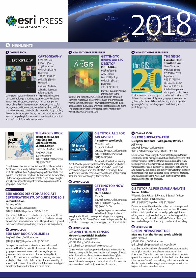
COMING SOON CARTOGRAPHY.Kenneth FieldJul 2018 460pp, 275 illustrations9781589484399 Paperback £91.95 / €104.009781589485020 Hardback £125.00 / €142.00A lavishly illustrated reference guide,
Cartography. by Kenneth Field is an inspiring and creative companion along the nonlinear journey toward making a great map. This sage compendium for contemporary mapmakers distills the essence of cartography into useful topics, organized for convenience in finding the specific idea or method you need. Unlike books targeted to deep scholarly discourse of cartographic theory, this book provides sound, visually compelling information that translates into practical and useful tools for modern mapmaking.
NEW EDITION OF BESTSELLER GETTING TO KNOW ARCGIS DESKTOPFifth EditionMichael Law & Amy CollinsMar 2018 748pp9781589485105 Paperback £98.50 / €109.00Provides a comprehensive introduction to the
features and tools of ArcGIS Desktop. Through hands-on exercises, readers will discover, use, make, and share maps with meaningful content. They will also learn how to build geodatabases, query data, analyze geospatial data, and more. The latest edition has been updated to the most current version of ArcGIS Desktop 10.6.
NEW EDITION OF BESTSELLER THE GIS 20Essential Skills, Third EditionGina ClemmerMar 2018 180pp9781589485129 Paperback £49.50 / €55.00Updated for ArcGIS Desktop® 10.6, this third edition presents step-by-step instructions,
illustrations, and practical tips on how to perform the top 20 skills needed to successfully use a geographic information system (GIS). These skills include finding and editing data, querying GIS maps, creating reports, and sharing and publishing maps.
HIGHLIGHTS
THE ARCGIS BOOK10 Big Ideas About Applying The Science of Where, Second EditionEdited by Christian HarderAug 2017 172pp, 300 illustrations9781589484870 Paperback £19.95 / €22.00
Provides access to hundreds of live maps from the worldwide ArcGIS user community. In this second edition of The ArcGIS Book: 10 Big Ideas about Applying Geography to Your World, each big idea in the title is a chapter in the book about the ways that GIS technology can unlock your data to reveal deeper insights and a better understanding of virtually any problem with a geographic dimension.
NEW ESRI ARCGIS DESKTOP ASSOCIATE CERTIFICATION STUDY GUIDE FOR 10.5Second EditionBrittney WhiteApr 2018 150pp, 12 illustrations9781589485143 Paperback £77.50 / €87.00The Esri ArcGIS Desktop Certification Study Guide for 10.5 is tailored to meet the preparation needs of candidates taking the ArcGIS Desktop Associate exam. This guide covers general exam concepts and provides key review on exam objectives.
COMING SOON ESRI MAP BOOK, VOLUME 33Aug 2018 180pp, 200 illustrations9781589485075 Paperback £24.50 / €28.00Every year, works of mapmakers from around the world are selected for the Esri Map Book to demonstrate how geographic information system technology helps our governments, businesses, and citizens. Esri Map Book, Volume 33, continues this tradition, showcasing maps and applications that use ArcGIS to evaluate the sustainability of resources, determine efficient transportation routes, mitigate the effects of natural disasters, and much more.
GIS TUTORIAL 1 FOR ARCGIS PROA Platform WorkbookWilpen L. Gorr & Kristen S. KurlandOct 2017 650pp, 510 illustrations9781589484665 Paperback £98.50 / €109.00An introductory text for learning
ArcGIS Pro, the premier professional desktop GIS application. In-depth exercises that use ArcGIS Pro, ArcGIS Online, and other ArcGIS apps feature the latest GIS technology, show readers how to make maps, how to create and analyse spatial data, and how to manage systems with GIS.
COMING SOON GETTING TO KNOW WEB GISThird EditionPinde FuJun 2018 410pp, 526 illustrations9781589485211 Paperback £93.50 / €104.00A step-by-step workbook on how to build web GIS applications
using the latest Esri technology, including smart mapping, AppStudio, ArcGIS Pro and Scene services. As presented in this book, the technologies are easy to apply, current, and holistic.
COMING SOON GIS AND THE 2020 CENSUSModernizing Official StatisticsAmor Laaribi & Linda PetersJul 2018 160pp, 100 illustrations9781589485044 Paperback £49.50 / €55.00Census workers need to capture and analyze information at the finest geographic level with mobile and geospatial-based technology. GIS and the 2020 Census: Modernizing Official Statistics provides statistical organizations with the most recent GIS methodologies and technological tools to support census workers’ needs at all the stages of a census.
COMING SOON GIS FOR SURFACE WATERUsing the National Hydrography DatasetJeff SimleyJun 2018 600pp, 415 illustrations9781589484795 Paperback £117.00 / €131.00GIS for Surface Water: Using the National Hydrography Dataset enables scientists, managers, and students to analyze the vital surface waters of the United States by combining the ready-to-use powers of a comprehensive database of the nation’s waters and the ArcGIS platform for geographic data analysis and mapping. This book explains how the water that exists on the landscape has been translated into a computer database, and how data about the water, such as chemistry and fish habitat, is linked to this database.
NEW GIS TUTORIAL FOR CRIME ANALYSISSecond EditionWilpen L. Gorr, Kristen S. Kurland & Zan M. DodsonMay 2018 270pp, 300 illustrations9781589485167 Paperback £83.50 / €93.00Presents state-of-the-art methods that can be incorporated into any police department’s standard practices. This second edition builds upon the first edition by updating tutorials, adding a new chapter on building and evaluating predictive models using ModelBuilder and ArcGIS’s hot spot analysis tools, and adding a capstone project on hot spot modeling.
COMING SOON GREEN INFRASTRUCTUREMap and Plan the Natural World with GISKaren FirehockJul 2018 160pp, 100 illustrations9781589484863 Paperback £58.95 / €66.00Describes the why and how of green infrastructure mapping and implementation through text, maps and on-line illustrations. This volume explains how to utilize the national green infrastructure model that Esri has built using the Green Infrastructure Center’s methodology. It demonstrates how to develop a prioritized strategy for conserving or restoring the highest values to natural resources.
2018
ESRR
GW04
18
Due to currency fluctuations and publisher price changes, prices charged may vary from those listed.Standard delivery per order - UK: £3.50; Continental Europe: €6.00. Faster delivery options available on request.
CUSTOMER SERVICES
Tel: +44 (0)1767 604972Fax: +44 (0)1767 601640Email: [email protected]
FURTHER INFORMATION
Tel: +44 (0)20 7240 0856 Fax: +44 (0)20 7379 0609 Email: [email protected]
Sign up for regular emails at eurospangroup.com/mailinglist
distributed by Eurospan|group
Eurospan GroupGray’s Inn House127 Clerkenwell RoadLondon, EC1R 5DB, UK
BESTSELLERS
IMAGERY AND GISBest Practices for Extracting Information from ImageryKass Green, Russell G. Congalton & Mark TukmanOct 2017 425pp, 173 illustrations9781589484542 Paperback £98.50 / €109.00
Today, most maps include imagery in the form of aerial photos, satellite images, thermal images, digital elevation models, and scanned maps. Imagery and GIS: Best Practices for Extracting Information from Imagery shows how imagery can be integrated successfully into GIS maps and analysis.
INSTRUCTIONAL GUIDE FOR THE ARCGIS IMAGERY BOOKKathryn Keranen & Lyn MaloneSep 2017 260pp, 615 images9781589484801 Paperback £39.50 / €44.00This companion workbook to The ArcGIS Imagery Book: New View, New Vision provides hands-on activities and lessons that build on foundational imagery and GIS concepts. Whether you are a self-learner or teaching GIS in a classroom, this guide provides the materials to develop and apply ArcGIS imagery tools, maps, and concepts.
THE ARCGIS IMAGERY BOOKNew View. New Vision. Edited by Clint Brown & Christian Harder 2016 172pp, 300 illustrations9781589484627 Paperback £19.95 / €22.00 Explore how imagery and remote sensing power modern GIS. With The ArcGIS Imagery Book, you will roll up your sleeves and quickly begin putting imagery to smarter, more skillful use with your GIS.
COMING SOON LINING UP DATAA Guide to Map Projections, Third EditionMargaret M. MaherJun 2018 236pp, 150 illustrations9781589485204 Paperback £39.50 / €44.00Easy-to-navigate troubleshooting reference for any GIS user with the common problem of data misalignment. Complete with full-color maps and diagrams and fully updated for ArcGIS Desktop 10.6, this book presents techniques to identify data projections and create custom projections to align data. Formatted for practical use, each chapter can stand alone to address specific issues related to working with coordinate systems.
MAKING SPATIAL DECISIONS USING ARCGISA WorkbookKathryn Keranen & Robert KolvoordAug 2017 290pp, 447 illustrations9781589484849 Paperback £68.95 / €76.00Provides a broad overview of the capabilities of using ArcGIS Pro to use geospatial tools to solve real-world problems. This book takes full advantage of the integrative nature of ArcGIS Pro and its advanced capabilities to seamlessly unite cloud-based and desktop GIS.
NEW MAPPING THE NATIONSolving Challenges from Local to GlobalEsri PressApr 2018 92pp, 95 illustrations9781589484979 Paperback £19.95 / €22.00Mapping the Nation is a collection of maps that illustrate how geographic understanding forms a solid foundation for good governance in the United States and around the world.
TRIBAL GISSupporting Native American Decision Making, Second EditionAnne Taylor & Joseph J. KerskiDec 2017 222pp9781589485037 Paperback £19.95 / €22.00Tribal leaders tell their stories about the challenges and successes of
implementing and using geographic information systems (GIS) to support their communities.
NEW EDITION OF BESTSELLER UNDERSTANDING GISAn ArcGIS Pro Project Workbook, Fourth EditionDavid Smith et alAug 2018 380pp, 386 illustrations9781589485266 Paperback £77.50 / €87.00Teaches how to conceive, develop, finish, and present a GIS project - all exercises have been updated to
use Esri’s ArcGIS Pro software with revamped data. The book guides readers with explanations of project development concepts and exercises that foster critical thinking.
If you are a teaching academic or course leader you may request up to three titles as FREE inspection copies to consider as textbooks for students on your course. For further details please visit:eurospangroup.com/inspection
CARTOGRAPHIES OF DISEASEMaps, Mapping, and Medicine, Second EditionTom Koch2016 412pp, 120 illustrations9781589484672 Paperback £78.50 / €87.00Provides a comprehensive survey of the technology of mapping and its relationship to the battle against disease.
DESIGNING BETTER MAPSA Guide for GIS Users, Second EditionCynthia A. Brewer2015 400pp, 433 illustrations9781589484405 Paperback £58.95 / €66.00Guides readers through the basics of good cartography, including layout design, scales, projections, colour selection, font choices, and symbol placement.
GETTING TO KNOW ARCGISFourth EditionMichael Law & Amy Collins2015 768pp, 1,056 illustrations9781589483828 Paperback £83.50 / €93.00Provides a comprehensive introduction to the features and tools of ArcGIS for Desktop. Through hands-on exercises, readers will discover, use, make, and share maps with meaningful content.
GETTING TO KNOW ARCGIS PROMichael Law & Amy Collins2016 450pp, 730 illustrations9781589484573 Paperback £83.50 / €93.00Teaches new and existing GIS users how to get started solving problems by visualizing, querying,
creating, editing, analysing, and presenting geospatial data in both 2D and 3D environments using the latest ArcGIS mapping app, ArcGIS Pro.
INTRODUCTION TO GEOMETRICAL AND PHYSICAL GEODESYFoundations of GeomaticsThomas H. Meyer2010 260pp9781589482159 Hardback £103.00 / €115.00Explores geodesy, the discipline
dealing with the measurement and representation of the earth.
LAND ADMINISTRATION FOR SUSTAINABLE DEVELOPMENTIan Williamson et al2009 512pp9781589480414 Paperback £24.50 / €28.00Examines global land administration systems at different levels of maturity.
MAP USEReading, Analysis, Interpretation, Eighth EditionA. Jon Kimerling et al2016 664pp, 430 illustrations9781589484429 Paperback £98.50 / €109.00A comprehensive, foundational textbook designed for the college curriculum.
SEMIOLOGY OF GRAPHICSDiagrams, Networks, MapsJacques Bertin2011 436pp, 1,000 illustrations9781589482616 Hardback £78.50 / €87.00Originally published in French in 1967, Semiology of Graphics is internationally recognized as a foundational work in the fields of design and cartography.
@eurospan
/eurospangroup
@eurospangroup

![[XLS] · Web viewThe effect of management intensification on belowground net primary productivity Zhang, Yun Geodesy and Geomatics Engineering Object-based 3D information incorporated](https://img.pdfslide.us/doc/110x75/5aa057e17f8b9a89178deb16/xls-viewthe-effect-of-management-intensification-on-belowground-net-primary-productivity.jpg)