Embed Size (px)
Citation preview
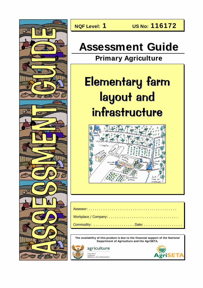
AAsssseessssmmeenntt GGuuiiddee PPrriimmaarryy AAggrriiccuullttuurree
eepptt
EElleemmeennttaarryy ffaarrmm llaayyoouutt aanndd
iinnffrraassttrruuccttuurree
NQF Level: 1 US No: 116172
The availability of this product is due to the financial support of the National Department of Agriculture and the AgriSETA.
Assessor: . . . . . . . . . . . . . . . . . . . . . . . . . . . . . . . . . . . . . . . . . .
Workplace / Company: . . . . . . . . . . . . . . . . . . . . . . . . . . . . . . . . .
Commodity: . . . . . . . . . . . . . . . . . . . Date: . . . . . . . . . . . . . . . . . .
Apply elementary farm layout and infrastructure
Primary Agriculture NQF Level 1 Unit Standard No: 116172 22
Version: 01 Version Date: July 2006
BBeeffoorree wwee ssttaarrtt…… his assessment guide contains all necessary activities and instructions that will enable the assessor and
learner to gather evidence of the learner’s competence as required by the unit standard. This guide was designed to be used by a trained and accredited assessor whom is registered to assess this specific unit standard as per the requirements of the AgriSETA ETQA.
Prior to the delivery of the program the facilitator and assessor must familiarise themselves with content of this guide, as well as the content of the relevant Learner Workbook.
The assessor, facilitator and learner must plan the assessment process together, in order to offer the learner the maximum support, and the opportunity to reflect competence.
The policies and procedures that are required during the application of this assessment are available on the website of the AgriSETA and should be strictly adhered to. The assessor must familiarise him/herself with this document before proceeding.
This guide provides step-by-step instructions for the assessment process of:
This unit standard is one of the building blocks in the qualification listed below. Please mark the qualification you are currently assessing, because that will be determined by the context of application:
Title ID Number NQF Level Credits Mark
National Certificate in Animal Production 48976 1 120
National Certificate in Mixed Farming Systems 48971 1 120
National Certificate in Plant Production 48972 1 120
Please mark the learning program you are enrolled in:
TT
Title: Apply elementary farm layout and infrastructure
US No: 116172 NQF Level: 1 Credits: 2
Are you enrolled in a: Y N
Learnership?
Skills Program?
Short Course?
PPlleeaassee NNoottee::
This Unit Standard 116172 Assessment Guide must be read in conjunction with the generic Assessor Guide as prescribed and published by the AgriSETA.
NNoottee ttoo AAsssseessssoorr::
If you are assessing this module as part of a full qualification or learnership, please ensure that you have familiarized yourself with the content of the qualification.
Apply elementary farm layout and infrastructure
Primary Agriculture NQF Level 1 Unit Standard No: 116172 33
Version: 01 Version Date: July 2006
This activity is not part of the formal assessment towards assessment criteria in the unit standards. The purpose is to find out what the learners already know and gives the facilitator an idea of the existing knowledge of sustainable land use. It is possible to ask the learners to complete this same exercise again at the end of the module for summative assessment purposes.
You have already learnt some important things about how to choose a farming enterprise, what to farm with and how to make sure that our agri-business is a sustainable one. Answer the questions below to help you recall and/or reflect on some of the knowledge and skills that you already have.
1. What do you think sustainable farming is?
Farming in such a way that natural resources, human resources and capital will be used optimally and without depletion or damage to ensure that farming can occur profitably year after year.
2. Name three types of resources that we have to keep in mind for conservation in terms of sustainable farming.
Natural Resources such as soil, water, fauna & flora Capital & Human Resources Structures & Infrastructure
3. Explain how we can conserve the following resources to ensure sustainable farming. Please use practical examples.
Model Answer
Soil Minimize soil erosion by practicing strip cropping, minimum tillage and to ensuring that the soil surface is protected with a vegetative cover as far as possible.
Water Prevent pollution; restrict access to water sources; remove alien vegetation
Indigenous Vegetation
Model Answer
Remove invasive plants & animals; retain as much indigenous vegetation as possible; build fire breaks
Individual Activity: recall and/or reflect on some of the knowledge and skills that you already have. 11 Learner Workbook: Page 3 Facilitator Guide: Page 10

Apply elementary farm layout and infrastructure
Primary Agriculture NQF Level 1 Unit Standard No: 116172 44
Version: 01 Version Date: July 2006
4. Can we farm on any type of land? Explain your answer.
No, because topography, climate, weather zones, soil types and available natural resources are not suitable for all types of crop and animal production.
5. Can one farm with anything you want in any area? Explain your answer.
No, because it might not be suitable to the area or there might be environmental legislation against the farming of the commodity.
6. Do you think it is necessary to control the weeds that grow in between your crops? Explain your answer.
Yes, in order to prevent competition for water and nutrients between crops and weeds.
MMyy NNootteess ……
. . . . . . . . . . . . . . . . . . . . . . . . . . . . . . . . . . . . . . . . . . . . . . . . . . . . . . . . . . . . . . . . . . . . . . . . . . . . . . . . . . .
. . . . . . . . . . . . . . . . . . . . . . . . . . . . . . . . . . . . . . . . . . . . . . . . . . . . . . . . . . . . . . . . . . . . . . . . . . . . . . . . . . .
. . . . . . . . . . . . . . . . . . . . . . . . . . . . . . . . . . . . . . . . . . . . . . . . . . . . . . . . . . . . . . . . . . . . . . . . . . . . . . . . . . ..
. . . . . . . . . . . . . . . . . . . . . . . . . . . . . . . . . . . . . . . . . . . . . . . . . . . . . . . . . . . . . . . . . . . . . . . . . . . . . . . . . . .
.. . . . . . . . . . . . . . . . . . . . . . . . . . . . . . . . . . . . . . . . . . . . . . . . . . . . . . . . . . . . . . . . . . . . . . . . . . . . . . . . . . .
. . . . . . . . . . . . . . . . . . . . . . . . . . . . . . . . . . . . . . . . . . . . . . . . . . . . . . . . . . . . . . . . . . . . . . . . . . . . . . . . . . .
. . . . . . . . . . . . . . . . . . . . . . . . . . . . . . . . . . . . . . . . . . . . . . . . . . . . . . . . . . . . . . . . . . . . . . . . . . . . . . . . . . .
. . . . . . . . . . . . . . . . . . . . . . . . . . . . . . . . . . . . . . . . . . . . . . . . . . . . . . . . . . . . . . . . . . . . . . . . . . . . . . . . . . .
. . . . . . . . . . . . . . . . . . . . . . . . . . . . . . . . . . . . . . . . . . . . . . . . . . . . . . . . . . . . . . . . . . . . . . . . . . . . . . . . . . .
. . . . . . . . . . . . . . . . . . . . . . . . . . . . . . . . . . . . . . . . . . . . . . . . . . . . . . . . . . . . . . . . . . . . . . . . . . . . . . . . . . .
. . . . . . . . . . . . . . . . . . . . . . . . . . . . . . . . . . . . . . . . . . . . . . . . . . . . . . . . . . . . . . . . . . . . . . . . . . . . . . . . . . .
. . . . . . . . . . . . . . . . . . . . . . . . . . . . . . . . . . . . . . . . . . . . . . . . . . . . . . . . . . . . . . . . . . . . . . . . . . . . . . . . . . .
. . . . . . . . . . . . . . . . . . . . . . . . . . . . . . . . . . . . . . . . . . . . . . . . . . . . . . . . . . . . . . . . . . . . . . . . . . . . . . . . . . .
. . . . . . . . . . . . . . . . . . . . . . . . . . . . . . . . . . . . . . . . . . . . . . . . . . . . . . . . . . . . . . . . . . . . . . . . . . . . . . . . . . .
. . . . . . . . . . . . . . . . . . . . . . . . . . . . . . . . . . . . . . . . . . . . . . . . . . . . . . . . . . . . . . . . . . . . . . . . . . . . . . . . . . .
. . . . . . . . . . . . . . . . . . . . . . . . . . . . . . . . . . . . . . . . . . . . . . . . . . . . . . . . . . . . . . . . . . . . . . . . . . . . . . . . . . .
. . . . . . . . . . . . . . . . . . . . . . . . . . . . . . . . . . . . . . . . . . . . . . . . . . . . . . . . . . . . . . . . . . . . . . . . . . . . . . . . . . .
Apply elementary farm layout and infrastructure
Primary Agriculture NQF Level 1 Unit Standard No: 116172 55
Version: 01 Version Date: July 2006
1. Create a model or map of your farm as it is.
Explore your farm together as a group so that you understand the layout of your farm in the best possible way.
In your group decide if you wish to make a model or a map. You will be using the same map or model for other activities.
• Take a large piece of cardboard (as given to you by your facilitator), and work
as a group on this project. You will be working on this same piece of paper
through out the project and adding information as you decide on it.
• Draw the outline of your farm on the piece of cardboard or paper provided by
the facilitator. If possible, use an existing map to ensure as much accuracy as
possible.
• Walk around your farm and collect the following information to add to the map
or model:
o The slope elevation and directions (north, south, east, west) of the farm.
o Use any materials or symbols that you wish to represent the information
you have gathered on your map or model. For example, you can use
paper maché to create slopes, or you could use piles of stones to
represent high ground.
• Place it on top of the original piece of paper.
Model answer: The facilitator and assessor will have to work together in the specific context where training takes place to create model answers for this activity. They would have to be able to identify the slope elevations and directions for the land being used.
Group Activity: Creating a model or map of our farm
22 SSOO11:: AACC 11,,22
Learner Workbook: Page 6 Facilitator Guide: Page 10
Apply elementary farm layout and infrastructure
Primary Agriculture NQF Level 1 Unit Standard No: 116172 66
Version: 01 Version Date: July 2006
Record your findings in the space provided. Write key notes down for yourself as follows:
2. What does the landscape look like in terms of topography and slope?
Model answer: The facilitator and assessor will have to work together in the specific context where training takes place to create model answers for this activity. They would have to be able to identify the slope topography and slope on the land being used. The answer should give specific indication of varying slope degrees and angles, direction in which the slopes face, specify mountains, coastal areas and height above sea level.
3. In which directions do the major slopes run?
Model answer: The facilitator and assessor will have to work together in the specific context where training takes place to create model answers for this activity. They would have to be able to identify the slope topography and slope on the land being used. The answer should indicate the direction that slopes face, and in the case of multiple slopes, this should be included.
4. What evidence of degradation can you see, and can you identify an action that could be taken to rectify this? (Soil erosion, compacted soils, alien plant invasions, etc.)
The assessor/facilitator must create a checklist that is specific to the farm where training takes place, ensuring that the key degradation elements are listed.
1.
2.
Apply elementary farm layout and infrastructure
Primary Agriculture NQF Level 1 Unit Standard No: 116172 77
Version: 01 Version Date: July 2006
3.
4.
5.
6.
5. Describe the vegetation you have seen on the farm?
For this question, consider the plants that you already can recognise as alien or invasive species, and plant types that are used by domestic livestock, as well as the plants growing in areas that are not used by the farm and are not part of normal farming activities.
Model answer: The facilitator and assessor will have to work together in the specific context where training takes place to create model answers for this activity. They would have to be able to identify the indigenous and invasive plants in the area as well as the plants that are used in farming activities.
MMyy NNootteess …… . . . . . . . . . . . . . . . . . . . . . . . . . . . . . . . . . . . . . . . . . . . . . . . . . . . . . . . . . . . . . . . . . . . . . . . . . . . . . . . . . . .
. . . . . . . . . . . . . . . . . . . . . . . . . . . . . . . . . . . . . . . . . . . . . . . . . . . . . . . . . . . . . . . . . . . . . . . . . . . . . . . . . . .
. . . . . . . . . . . . . . . . . . . . . . . . . . . . . . . . . . . . . . . . . . . . . . . . . . . . . . . . . . . . . . . . . . . . . . . . . . . . . . . . . . ..
. . . . . . . . . . . . . . . . . . . . . . . . . . . . . . . . . . . . . . . . . . . . . . . . . . . . . . . . . . . . . . . . . . . . . . . . . . . . . . . . . . .
.. . . . . . . . . . . . . . . . . . . . . . . . . . . . . . . . . . . . . . . . . . . . . . . . . . . . . . . . . . . . . . . . . . . . . . . . . . . . . . . . . . .
. . . . . . . . . . . . . . . . . . . . . . . . . . . . . . . . . . . . . . . . . . . . . . . . . . . . . . . . . . . . . . . . . . . . . . . . . . . . . . . . . . .
. . . . . . . . . . . . . . . . . . . . . . . . . . . . . . . . . . . . . . . . . . . . . . . . . . . . . . . . . . . . . . . . . . . . . . . . . . . . . . . . . . .
Apply elementary farm layout and infrastructure
Primary Agriculture NQF Level 1 Unit Standard No: 116172 88
Version: 01 Version Date: July 2006
This is a group activity that requires the collection of data that must be added to the learners’ map or model.
The learners look at the farm and divide it up into natural area that are distinctly separate from each other, using the following list as a guideline:
Highest ground, lowest ground, water courses, fields (if the farm has already been developed), pastures, woodlands, grasslands, wilderness area, access routes.
For each of these areas the learners collect samples, such as soil, plants, evidence showing the presence of animals (either domestic or wild, as appropriate) to add this information to their maps.
The use the information they have collected to answer the following questions:
1. What do you think is important to remember regarding preserving your water sources?
Model answer: The facilitator and assessor should create a list of alien plants occurring on the farm to use for a model answer.
2. What do you think is important to remember regarding conserving the quality of water in your water sources? Consider your answer in terms of the flow of water and what can enter your water courses.
Restrict access to water sources; prevent pollution and contamination of all water sources; remove alien vegetation that would reduce the amount of water available on the farm; stabilise dam walls and river banks with indigenous plants
Group Activity: Collection of Data. Looking at the farm’s natural resources, plants, animals, water.
33 SSOO11:: AACC 11,,22 SSOO 22::AACC11,,22 Learner Workbook: Page 9 Facilitator Guide: Page 12
Apply elementary farm layout and infrastructure
Primary Agriculture NQF Level 1 Unit Standard No: 116172 99
Version: 01 Version Date: July 2006
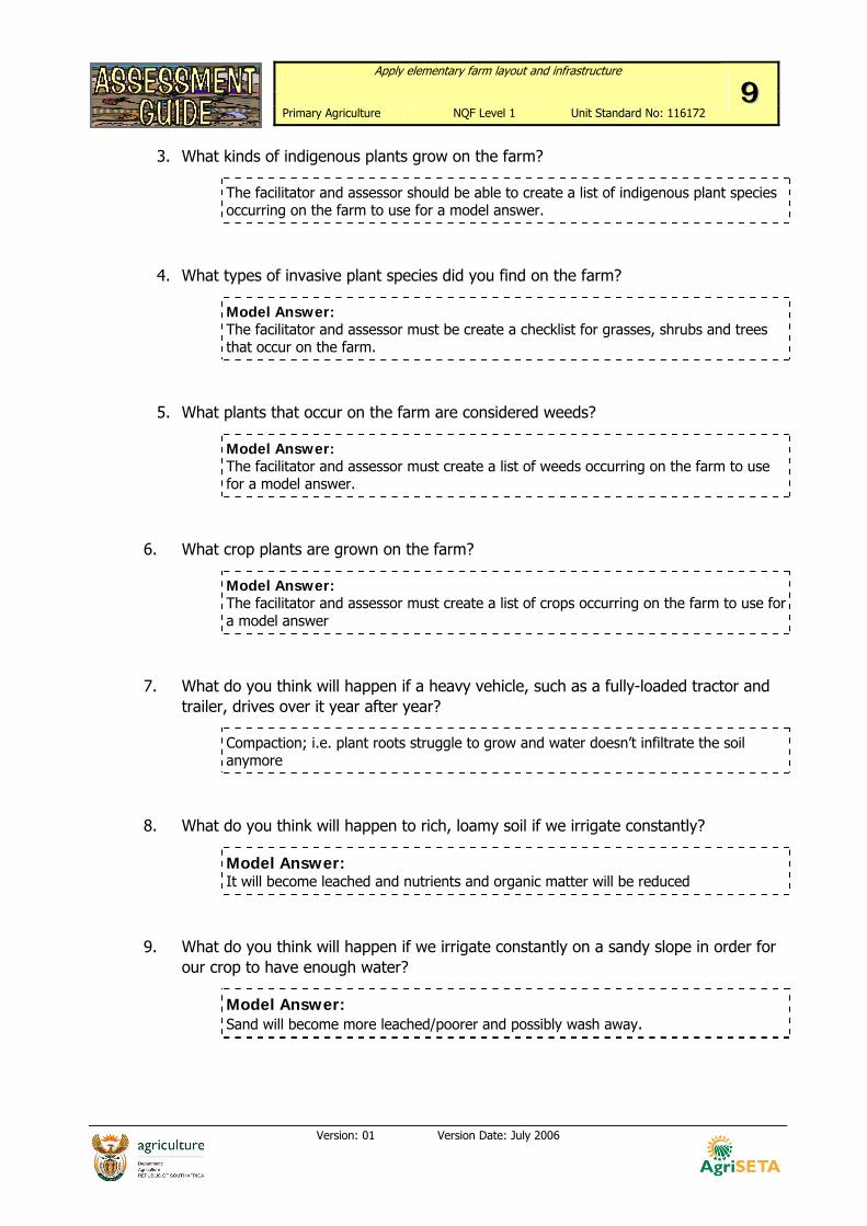
3. What kinds of indigenous plants grow on the farm?
The facilitator and assessor should be able to create a list of indigenous plant species occurring on the farm to use for a model answer.
4. What types of invasive plant species did you find on the farm?
Model Answer: The facilitator and assessor must be create a checklist for grasses, shrubs and trees that occur on the farm.
5. What plants that occur on the farm are considered weeds?
Model Answer: The facilitator and assessor must create a list of weeds occurring on the farm to use for a model answer.
6. What crop plants are grown on the farm?
Model Answer: The facilitator and assessor must create a list of crops occurring on the farm to use for a model answer
7. What do you think will happen if a heavy vehicle, such as a fully-loaded tractor and trailer, drives over it year after year?
Compaction; i.e. plant roots struggle to grow and water doesn’t infiltrate the soil anymore
8. What do you think will happen to rich, loamy soil if we irrigate constantly?
Model Answer: It will become leached and nutrients and organic matter will be reduced
9. What do you think will happen if we irrigate constantly on a sandy slope in order for our crop to have enough water?
Model Answer: Sand will become more leached/poorer and possibly wash away.
Apply elementary farm layout and infrastructure
Primary Agriculture NQF Level 1 Unit Standard No: 116172 1100
Version: 01 Version Date: July 2006
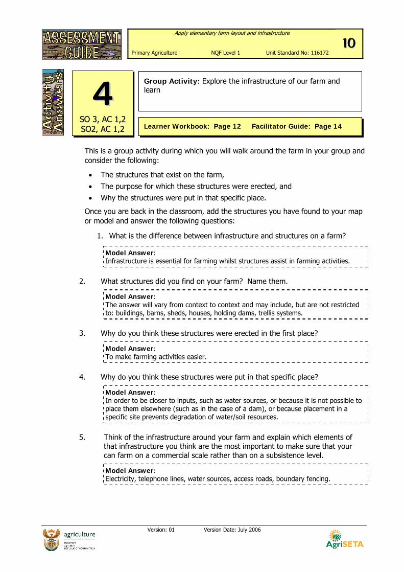
This is a group activity during which you will walk around the farm in your group and consider the following:
• The structures that exist on the farm, • The purpose for which these structures were erected, and • Why the structures were put in that specific place.
Once you are back in the classroom, add the structures you have found to your map or model and answer the following questions:
1. What is the difference between infrastructure and structures on a farm?
Model Answer: Infrastructure is essential for farming whilst structures assist in farming activities.
2. What structures did you find on your farm? Name them.
Model Answer: The answer will vary from context to context and may include, but are not restricted to: buildings, barns, sheds, houses, holding dams, trellis systems.
3. Why do you think these structures were erected in the first place?
Model Answer: To make farming activities easier.
4. Why do you think these structures were put in that specific place?
Model Answer: In order to be closer to inputs, such as water sources, or because it is not possible to place them elsewhere (such as in the case of a dam), or because placement in a specific site prevents degradation of water/soil resources.
5. Think of the infrastructure around your farm and explain which elements of
that infrastructure you think are the most important to make sure that your can farm on a commercial scale rather than on a subsistence level.
Model Answer: Electricity, telephone lines, water sources, access roads, boundary fencing.
Group Activity: Explore the infrastructure of our farm and learn
44 SSOO 33,, AACC 11,,22 SSOO22,, AACC 11,,22 Learner Workbook: Page 12 Facilitator Guide: Page 14
Apply elementary farm layout and infrastructure
Primary Agriculture NQF Level 1 Unit Standard No: 116172 1111
Version: 01 Version Date: July 2006
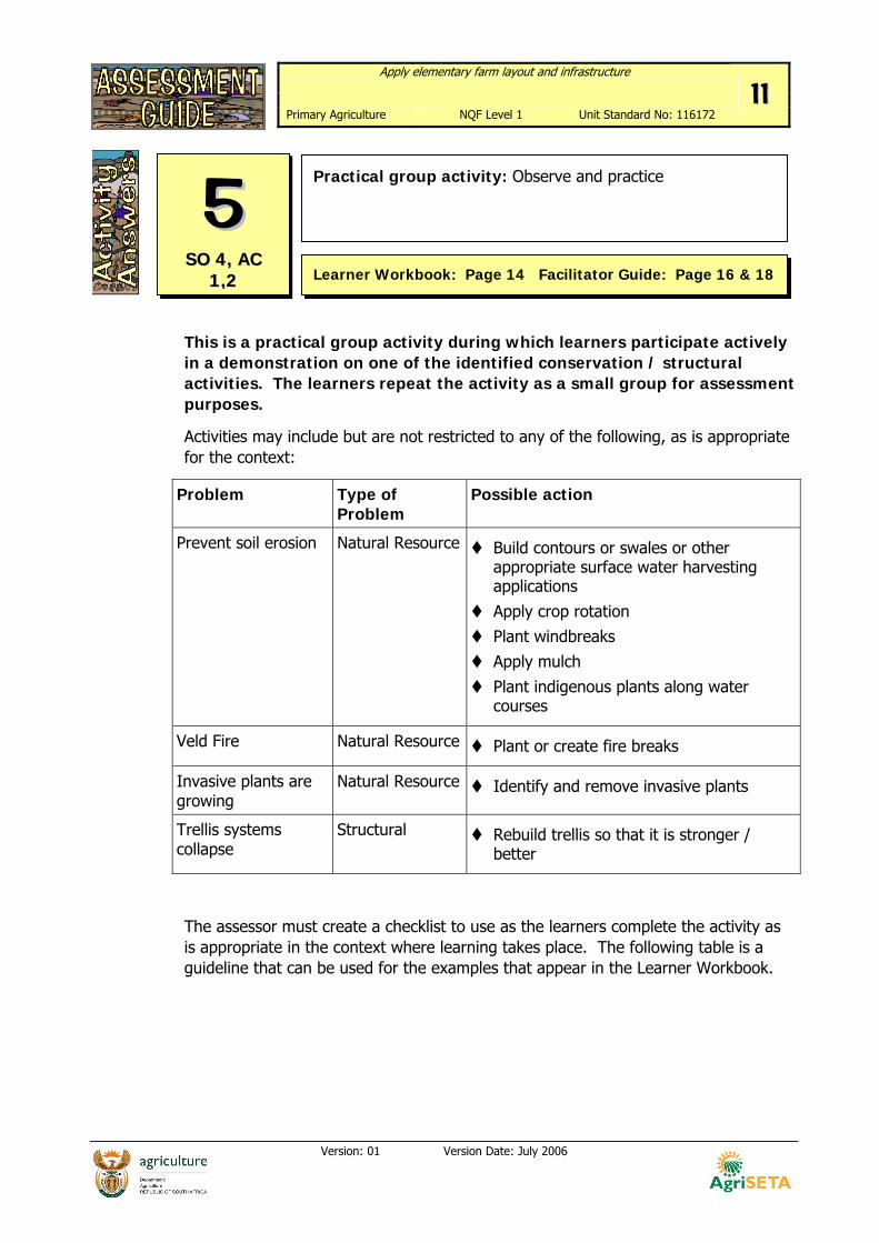
This is a practical group activity during which learners participate actively in a demonstration on one of the identified conservation / structural activities. The learners repeat the activity as a small group for assessment purposes.
Activities may include but are not restricted to any of the following, as is appropriate for the context:
Problem Type of Problem
Possible action
Prevent soil erosion Natural Resource Build contours or swales or other appropriate surface water harvesting applications
Apply crop rotation Plant windbreaks Apply mulch
Plant indigenous plants along water courses
Veld Fire Natural Resource Plant or create fire breaks
Invasive plants are growing
Natural Resource Identify and remove invasive plants
Trellis systems collapse
Structural Rebuild trellis so that it is stronger / better
The assessor must create a checklist to use as the learners complete the activity as is appropriate in the context where learning takes place. The following table is a guideline that can be used for the examples that appear in the Learner Workbook.
Practical group activity: Observe and practice
55 SSOO 44,, AACC
11,,22 Learner Workbook: Page 14 Facilitator Guide: Page 16 & 18
Apply elementary farm layout and infrastructure
Primary Agriculture NQF Level 1 Unit Standard No: 116172 1122
Version: 01 Version Date: July 2006
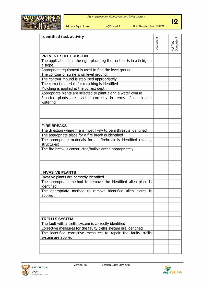
Identified task activity
Com
pete
nt
Not
Yet
Co
mpe
tent
PREVENT SOIL EROSION The application is in the right place, eg the contour is in a field, on a slope.
Appropriate equipment is used to find the level ground. The contour or swale is on level ground.
The contour mound is stabilised appropriately. The correct materials for mulching is identified Mulching is applied at the correct depth Appropriate plants are selected to plant along a water course Selected plants are planted correctly in terms of depth and watering
FIRE BREAKS The direction where fire is most likely to be a threat is identified The appropriate place for a fire break is identified The appropriate materials for a firebreak is identified (plants, structures)
The fire break is constructed/built/planted appropriately INVASIVE PLANTS Invasive plants are correctly identified The appropriate method to remove the identified alien plant is identified
The appropriate method to remove identified alien plants is applied
TRELLIS SYSTEM The fault with a trellis system is correctly identified Corrective measures for the faulty trellis system are identified The identified corrective measures to repair the faulty trellis system are applied
Apply elementary farm layout and infrastructure
Primary Agriculture NQF Level 1 Unit Standard No: 116172 1133
Version: 01 Version Date: July 2006
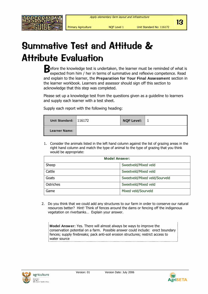
SSuummmmaattiivvee TTeesstt aanndd AAttttiittuuddee && AAttttrriibbuuttee EEvvaalluuaattiioonn
efore the knowledge test is undertaken, the learner must be reminded of what is expected from him / her in terms of summative and reflexive competence. Read
and explain to the learner, the Preparation for Your Final Assessment section in the learner workbook. Learners and assessor should sign off this section to acknowledge that this step was completed.
Please set up a knowledge test from the questions given as a guideline to learners and supply each learner with a test sheet.
Supply each report with the following heading:
1. Consider the animals listed in the left hand column against the list of grazing areas in the right hand column and match the type of animal to the type of grazing that you think would be appropriate:
Model Answer:
Sheep Sweetveld/Mixed veld
Cattle Sweetveld/Mixed veld
Goats Sweetveld/Mixed veld/Sourveld
Ostriches Sweetveld/Mixed veld
Game Mixed veld/Sourveld
2. Do you think that we could add any structures to our farm in order to conserve our natural resources better? Hint! Think of fences around the dams or fencing off the indigenous vegetation on riverbanks… Explain your answer.
Model Answer: Yes. There will almost always be ways to improve the conservation potential on a farm. Possible answer could include: erect boundary fences; supply firebreaks; pack anti-soil erosion structures; restrict access to water source
BB
Unit Standard: 116172 NQF Level: 1
Learner Name:
Apply elementary farm layout and infrastructure
Primary Agriculture NQF Level 1 Unit Standard No: 116172 1144
Version: 01 Version Date: July 2006
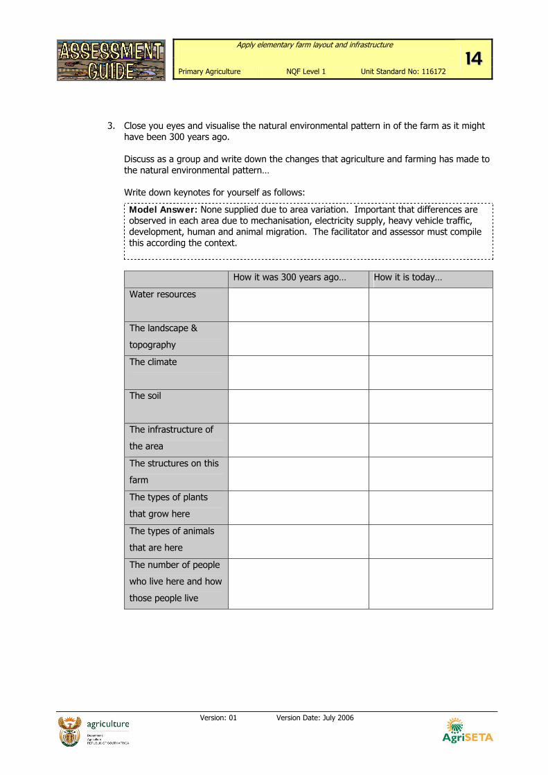
3. Close you eyes and visualise the natural environmental pattern in of the farm as it might have been 300 years ago.
Discuss as a group and write down the changes that agriculture and farming has made to the natural environmental pattern…
Write down keynotes for yourself as follows:
Model Answer: None supplied due to area variation. Important that differences are observed in each area due to mechanisation, electricity supply, heavy vehicle traffic, development, human and animal migration. The facilitator and assessor must compile this according the context.
How it was 300 years ago… How it is today…
Water resources
The landscape &
topography
The climate
The soil
The infrastructure of
the area
The structures on this
farm
The types of plants
that grow here
The types of animals
that are here
The number of people
who live here and how
those people live
Apply elementary farm layout and infrastructure
Primary Agriculture NQF Level 1 Unit Standard No: 116172 1155
Version: 01 Version Date: July 2006
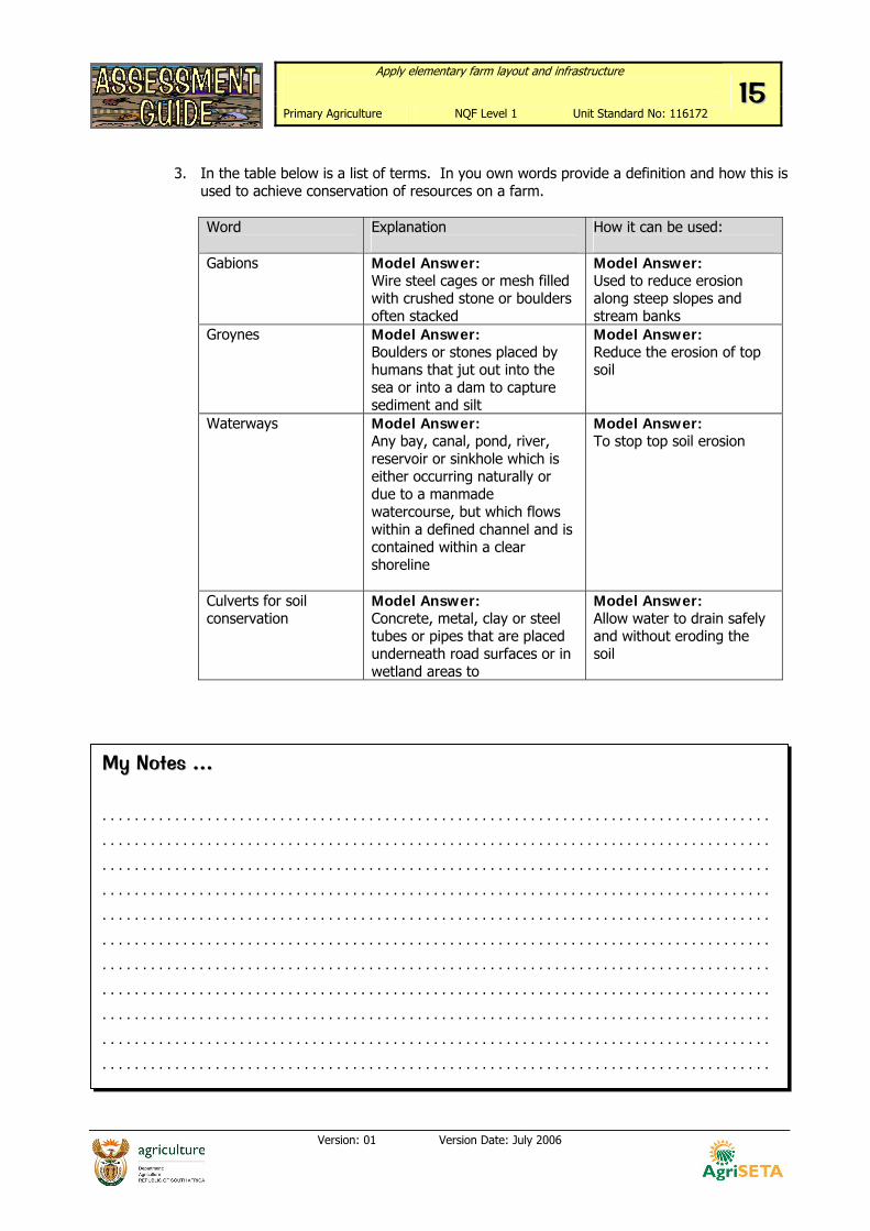
3. In the table below is a list of terms. In you own words provide a definition and how this is
used to achieve conservation of resources on a farm.
Word
Explanation
How it can be used:
Gabions
Model Answer: Wire steel cages or mesh filled with crushed stone or boulders often stacked
Model Answer: Used to reduce erosion along steep slopes and stream banks
Groynes Model Answer: Boulders or stones placed by humans that jut out into the sea or into a dam to capture sediment and silt
Model Answer: Reduce the erosion of top soil
Waterways Model Answer: Any bay, canal, pond, river, reservoir or sinkhole which is either occurring naturally or due to a manmade watercourse, but which flows within a defined channel and is contained within a clear shoreline
Model Answer: To stop top soil erosion
Culverts for soil conservation
Model Answer: Concrete, metal, clay or steel tubes or pipes that are placed underneath road surfaces or in wetland areas to
Model Answer: Allow water to drain safely and without eroding the soil
MMyy NNootteess …… . . . . . . . . . . . . . . . . . . . . . . . . . . . . . . . . . . . . . . . . . . . . . . . . . . . . . . . . . . . . . . . . . . . . . . . . . . . . . . . . . . .
. . . . . . . . . . . . . . . . . . . . . . . . . . . . . . . . . . . . . . . . . . . . . . . . . . . . . . . . . . . . . . . . . . . . . . . . . . . . . . . . . . .
. . . . . . . . . . . . . . . . . . . . . . . . . . . . . . . . . . . . . . . . . . . . . . . . . . . . . . . . . . . . . . . . . . . . . . . . . . . . . . . . . . .
. . . . . . . . . . . . . . . . . . . . . . . . . . . . . . . . . . . . . . . . . . . . . . . . . . . . . . . . . . . . . . . . . . . . . . . . . . . . . . . . . . .
. . . . . . . . . . . . . . . . . . . . . . . . . . . . . . . . . . . . . . . . . . . . . . . . . . . . . . . . . . . . . . . . . . . . . . . . . . . . . . . . . . .
. . . . . . . . . . . . . . . . . . . . . . . . . . . . . . . . . . . . . . . . . . . . . . . . . . . . . . . . . . . . . . . . . . . . . . . . . . . . . . . . . . .
. . . . . . . . . . . . . . . . . . . . . . . . . . . . . . . . . . . . . . . . . . . . . . . . . . . . . . . . . . . . . . . . . . . . . . . . . . . . . . . . . . .
. . . . . . . . . . . . . . . . . . . . . . . . . . . . . . . . . . . . . . . . . . . . . . . . . . . . . . . . . . . . . . . . . . . . . . . . . . . . . . . . . . .
. . . . . . . . . . . . . . . . . . . . . . . . . . . . . . . . . . . . . . . . . . . . . . . . . . . . . . . . . . . . . . . . . . . . . . . . . . . . . . . . . . .
. . . . . . . . . . . . . . . . . . . . . . . . . . . . . . . . . . . . . . . . . . . . . . . . . . . . . . . . . . . . . . . . . . . . . . . . . . . . . . . . . . .
. . . . . . . . . . . . . . . . . . . . . . . . . . . . . . . . . . . . . . . . . . . . . . . . . . . . . . . . . . . . . . . . . . . . . . . . . . . . . . . . . . .
Apply elementary farm layout and infrastructure
Primary Agriculture NQF Level 1 Unit Standard No: 116172 1166
Version: 01 Version Date: July 2006
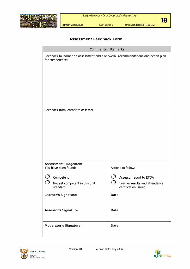
Assessment Feedback Form
Comments / Remarks
Feedback to learner on assessment and / or overall recommendations and action plan for competence:
Feedback from learner to assessor:
Assessment Judgement You have been found:
Competent
Not yet competent in this unit standard
Actions to follow:
Assessor report to ETQA
Learner results and attendance certification issued
Learner’s Signature:
Date:
Assessor’s Signature:
Date:
Moderator’s Signature:
Date: