Embed Size (px)
Citation preview
Distance, Direction, and Latitude/Longitude
Wednesday’s Brainwork TSW determine distance, direction, and
latitude/longitude from maps and globes. Questions: “History makes us who we are, but
we can make history—anyone can be a hero, if they choose to be.”
What does this quote mean? Explain and analyze in 5 sentences.
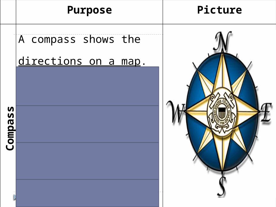
Purpose Picture
Compass
A compass shows the directions
on a map.
North points to the top of the
map.
East points to the right of the
map.
South points to the bottom of
the map. West points to the left of the
map.
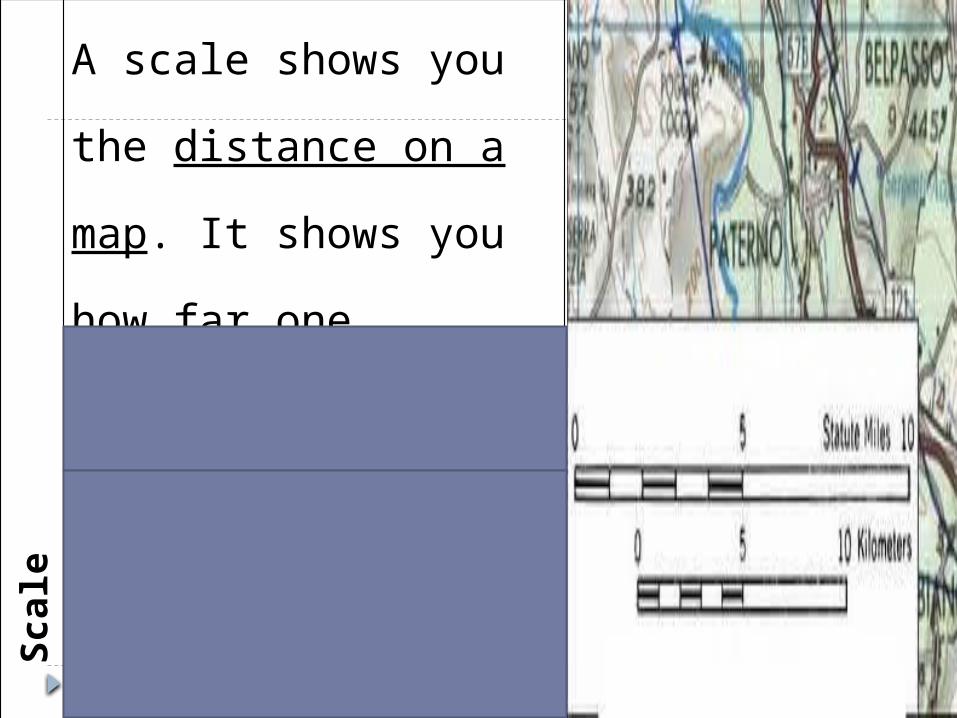
Scale
A scale shows you the
distance on a map. It shows
you how far one location is
from another on a map.
Distance will usually be
in miles or kilometers.
Use the scale to make a
ruler based on the ratio on
the map.
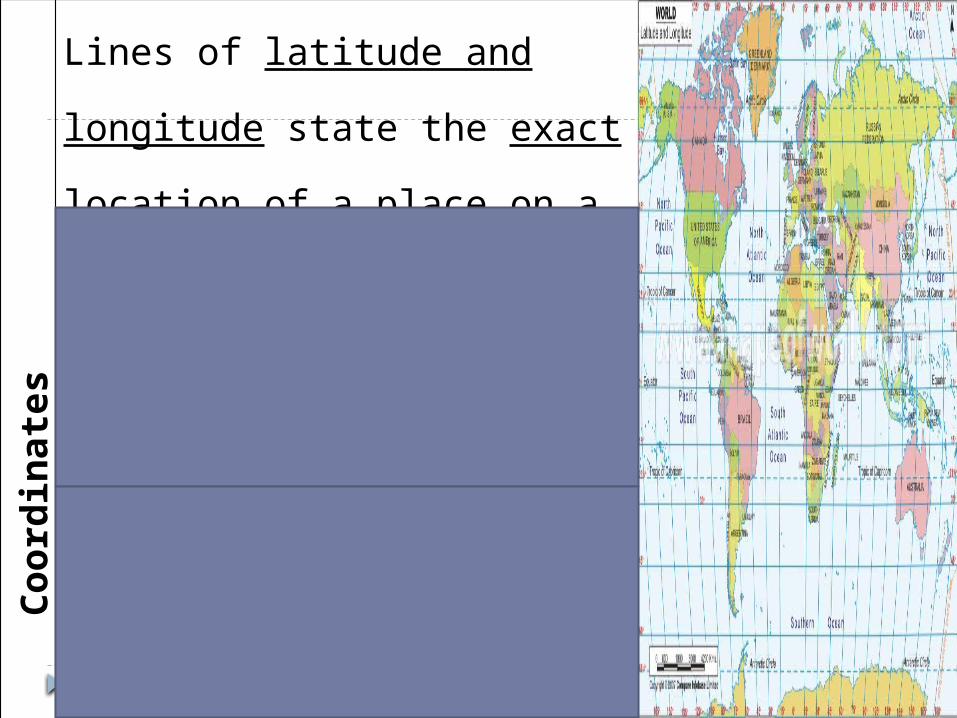
Coordinates
Lines of latitude and longitude state
the exact location of a place on a
map.
Latitude is stated first, and
longitude comes second.
oExample: Latitude,
Longitude
Lines of latitude run from
east to west, but are
labeled as North and South.
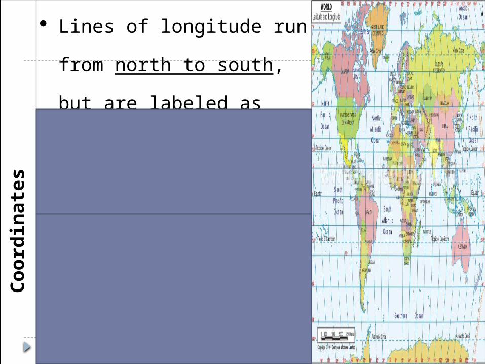
Coordinates
Lines of longitude run
from north to south, but
are labeled as East and
West.
oExample: ______°N,
______°E or _______°S,
_______°W
The 0° latitude line is
called the equator. The
0° longitude line is called
the prime meridian.
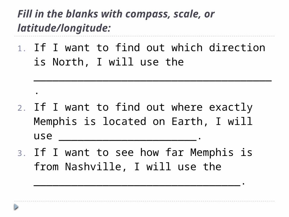
Fill in the blanks with compass, scale, or latitude/longitude:
1. If I want to find out which direction is North, I will use the ______________________________________.
2. If I want to find out where exactly Memphis is located on Earth, I will use ______________________.
3. If I want to see how far Memphis is from Nashville, I will use the _________________________________.
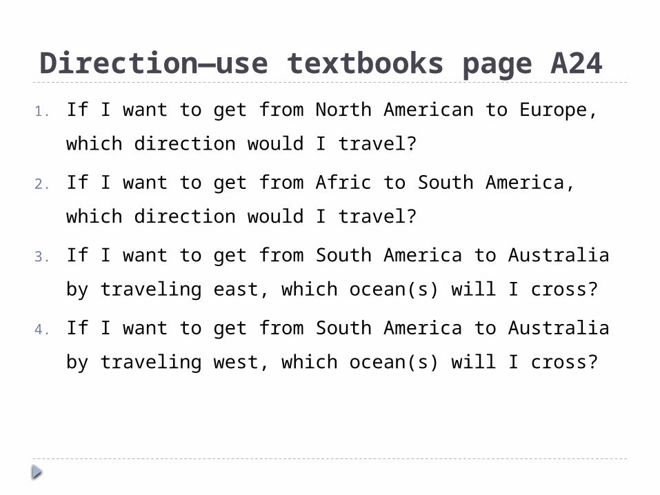
Direction—use textbooks page A24
1. If I want to get from North American to Europe,
which direction would I travel?
2. If I want to get from Afric to South America,
which direction would I travel?
3. If I want to get from South America to Australia
by traveling east, which ocean(s) will I cross?
4. If I want to get from South America to Australia
by traveling west, which ocean(s) will I cross?
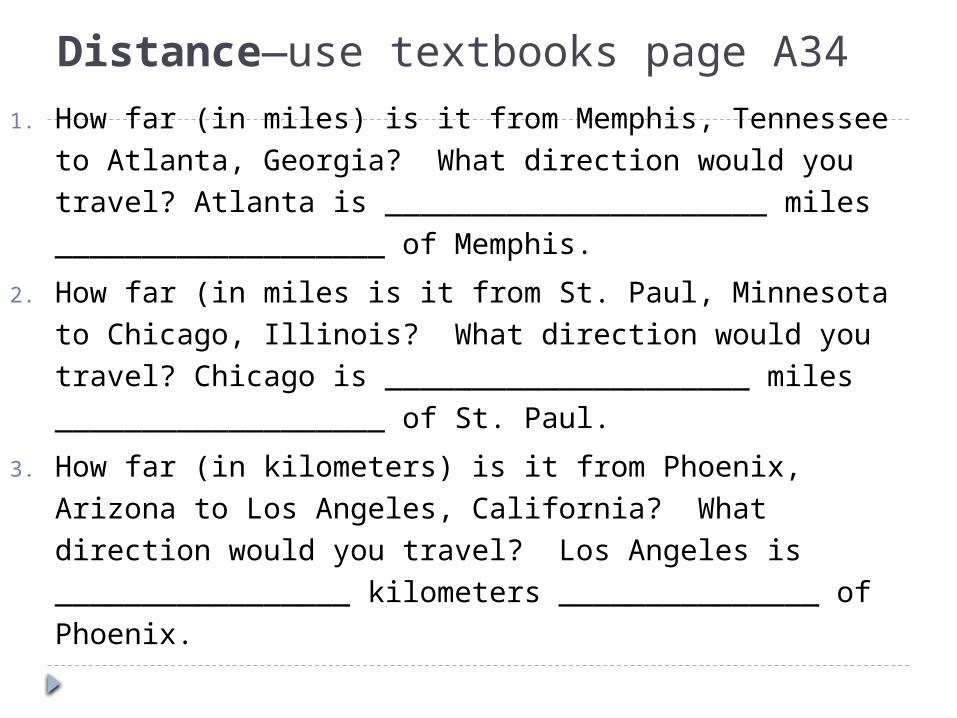
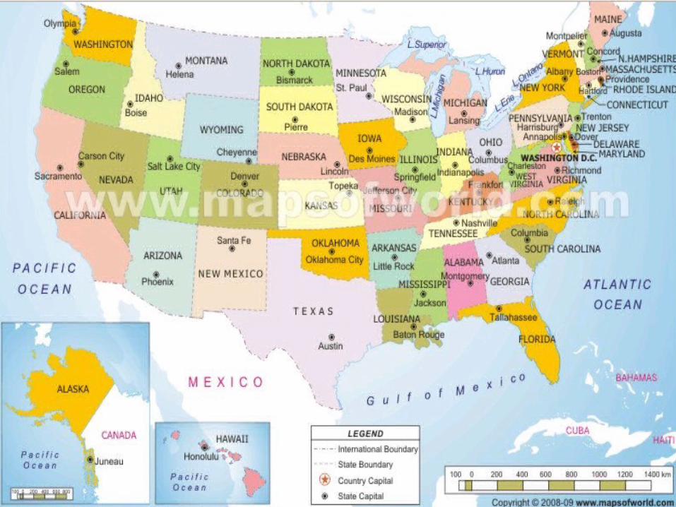
Distance—use textbooks page A34
1. How far (in miles) is it from Memphis, Tennessee to Atlanta, Georgia? What direction would you travel? Atlanta is ______________________ miles ___________________ of Memphis.
2. How far (in miles is it from St. Paul, Minnesota to Chicago, Illinois? What direction would you travel? Chicago is _____________________ miles ___________________ of St. Paul.
3. How far (in kilometers) is it from Phoenix, Arizona to Los Angeles, California? What direction would you travel? Los Angeles is _________________ kilometers _______________ of Phoenix.
On your own… Pick 2 cities in different states. Measure the
distance in kilometers and miles as well as the direction.
Pick 2 more cities and do the same thing.
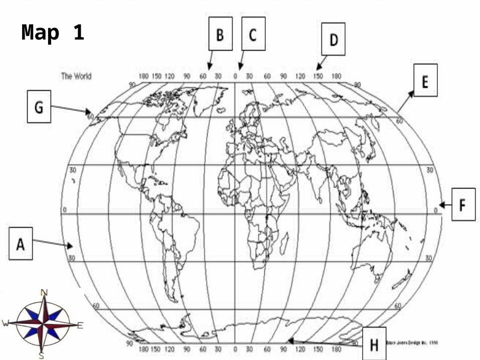
Map 1
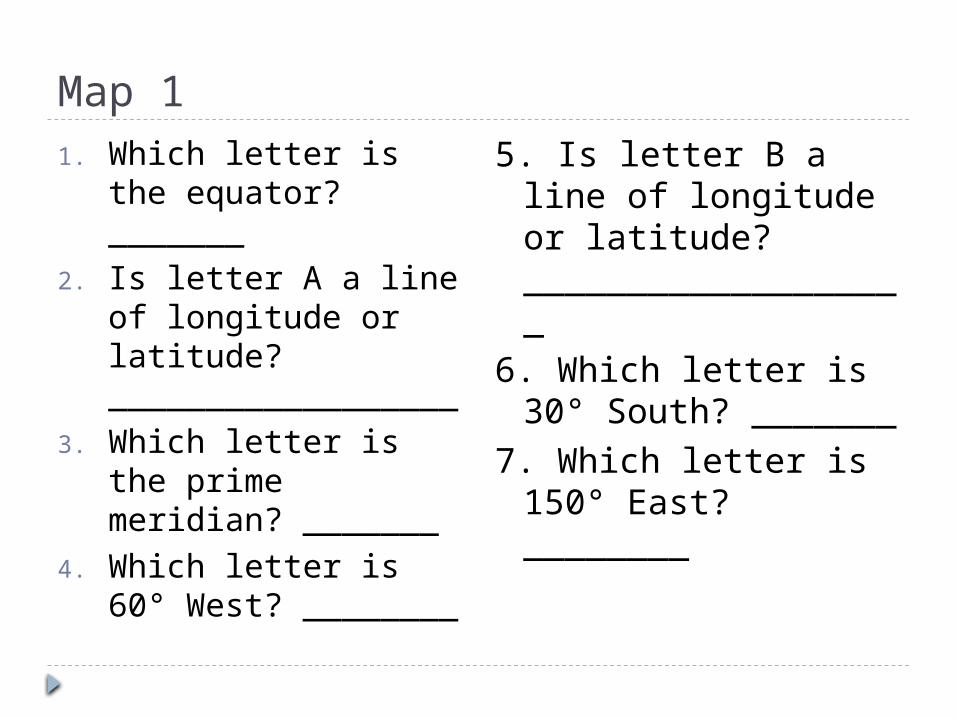
Map 11. Which letter is the
equator? _______2. Is letter A a line of
longitude or latitude? __________________
3. Which letter is the prime meridian? _______
4. Which letter is 60° West? ________
5. Is letter B a line of longitude or latitude? ___________________
6. Which letter is 30° South? _______
7. Which letter is 150° East? ________
Map 2
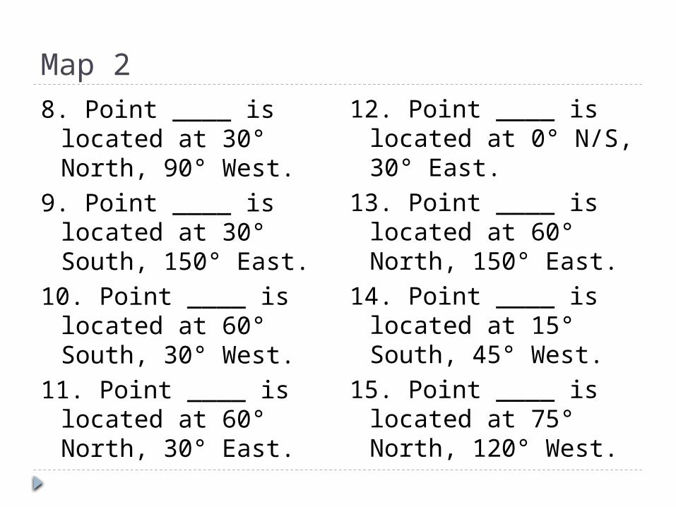
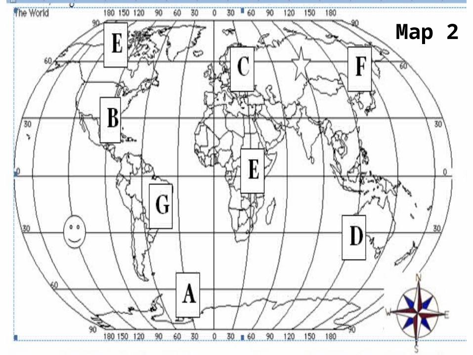
Map 28. Point ____ is located
at 30° North, 90° West.
9. Point ____ is located at 30° South, 150° East.
10. Point ____ is located at 60° South, 30° West.
11. Point ____ is located at 60° North, 30° East.
12. Point ____ is located at 0° N/S, 30° East.
13. Point ____ is located at 60° North, 150° East.
14. Point ____ is located at 15° South, 45° West.
15. Point ____ is located at 75° North, 120° West.
Map 216. The smiley face is located at
____________________________.17. The star is located at
____________________________.
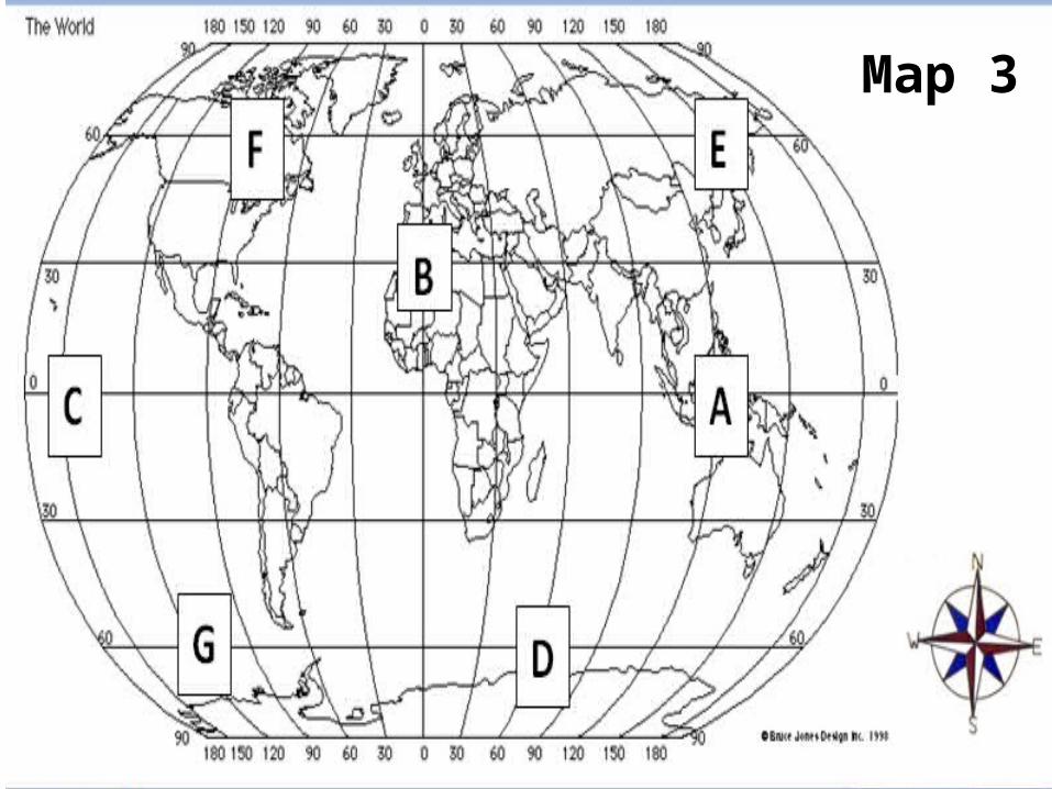
Map 3
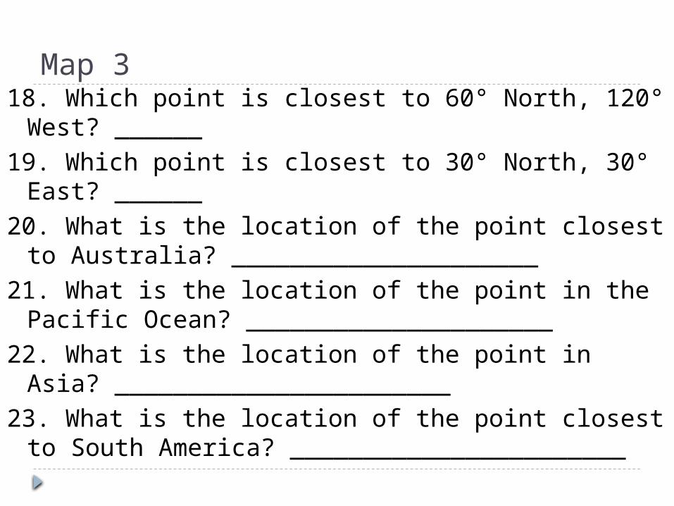
Map 318. Which point is closest to 60° North, 120° West?
______19. Which point is closest to 30° North, 30° East?
______20. What is the location of the point closest to
Australia? _____________________21. What is the location of the point in the Pacific
Ocean? _____________________22. What is the location of the point in Asia?
_______________________23. What is the location of the point closest to South
America? _______________________
Independent Practice Turn to page A34. Pick 5 different cities in the United States
Each city must be in a different state. First, write the direction between one to the
next. For example: NE from Memphis to Nashville; SE
from Nashville to Atlanta; NW from Atlanta to St. Paul.
Second, find the distance from one to the next. For example: 1500 milles from Atlanta to St. Paul.
Third, find the latitude/longitude of each city. For example: St. Paul is 45 ° N, 93 ° E
Exit Quiz 1. Name all 4 of the main directions on a compass,
and explain where on the map they point. 2. Name the tool on a map you would use to
determine distance, and explain how to use it. 3. What do lines of latitude/longitude help
determine? 4. Lines of latitude run from ____________ to
________________ and are labeled as ________________ and _________________.
5. . Lines of longitude run from ____________ to ________________ and are labeled as ________________ and _________________.