Embed Size (px)
Citation preview
1
Digital Resources
for Biblical MappingMark Vitalis Hoffman
Society of Biblical Literature 2008
Further Reference
scrollandscreen.com/biblicalmapping
Biblical Studies and Technological Tools Blog
This PowerPoint
Mapping Programs Features Spreadsheet
Links, Listings, and Further Information
Overview
1. Types of Maps
What kind of map do I need?
2. Mapping Matters
How will I use the map? What makes for a good map?
3. Digital Mapping Resources
What resources can I use?
4. Conclusions / Recommendations
1: Types of Maps
A. Satellite and Orthophoto
B. Physical
C. Political
D. Relief: Shaded and Raised
E. Road
F. Topographic
G. Illustrations
Reference: www.maptown.com/referencemaptypes.html
www.creativereview.co.uk/crblog/the-bible-according-to-google-earth/
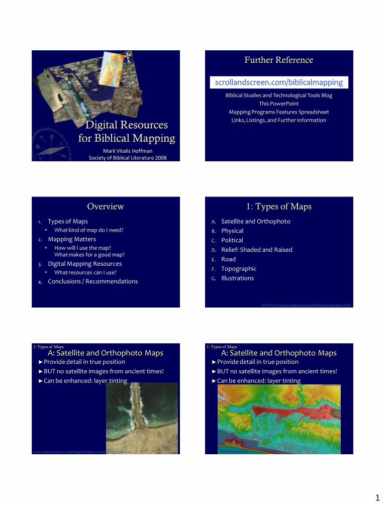
A: Satellite and Orthophoto Maps►Provide detail in true position
►BUT no satellite images from ancient times!
►Can be enhanced: layer tinting
1: Types of Maps
A: Satellite and Orthophoto Maps1: Types of Maps
Holy Land 3D
►Provide detail in true position
►BUT no satellite images from ancient times!
►Can be enhanced: layer tinting

2
B: Physical Maps
►Mainly used for landforms and bodies of water
►Provide helpful base terrain
Bible Atlas Online by Access Foundation
1: Types of Maps
C: Political Maps►Used to show boundaries of political entities
►Highlight key historical shifts
Bible Atlas Online by Access Foundation
BibleMapper
Logos Bible Atlas
1: Types of Maps
D: Relief Maps : Shaded and Raised►Provide sense of the land
Bible Atlas Online by Access FoundationBibleMapper
1: Types of Maps
D: Relief Maps : Shaded and Raised
BibleWorks Map Module – Elevation Overlay
1: Types of Maps
D: Relief Maps : Shaded and Raised
Accordance BibleAtlas
1: Types of Maps
D: Relief Maps : Shaded and RaisedHolyLand 3D
1: Types of Maps
3
D: Relief Maps : Shaded and Raised
GoogleEarth
1: Types of Maps
E: Road Maps►Help explain historical developments
►Adjustable to period
BibleMapper
Exodus and Judges
Logos Deluxe Map Set
Road Map of Ancient Palestine
1: Types of Maps
E: Road Maps
GoogleEarth
upload.wikimedia.org/wikipedia/commons/9/9c/Via_Egnatia-en.jpg
1: Types of Maps
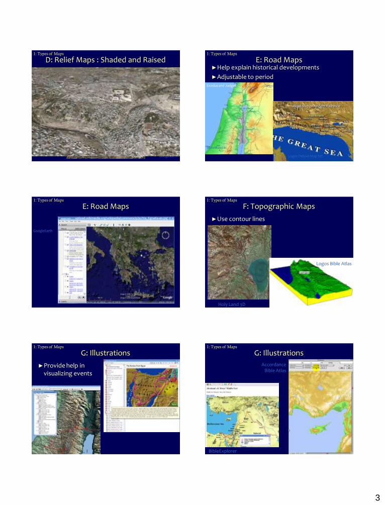
F: Topographic Maps
►Use contour lines
Holy Land 3D
Logos Bible Atlas
1: Types of Maps
G: Illustrations1: Types of Maps
►Provide help in visualizing events
G: Illustrations
BibleExplorer
1: Types of Maps
AccordanceBible Atlas

4
2: Mapping Matters
A. Copyright and Fair Use Considerations
B. Orientation: N/S or E/W
C. Accuracy, bias, coverage, appropriateness
D. Linked to modern locations
E. Edit-ability (i.e., mapping, not just maps)
F. Quality
G. Using Maps
A: Copyright and Fair Use Considerations► Copyright and Fair Use (see web links)
► Section 107 of US Copyright Act contains a list of the various purposes for which the reproduction of a particular work may be considered “fair,” such as criticism, comment, news reporting, teaching, scholarship, and research. Four factors:
1. purpose and character of the use, including whether such use is of commercial nature or is for nonprofit educational purposes;
2. nature of the copyrighted work;
3. amount and substantiality of the portion used in relation to the copyrighted work as a whole; and
4. effect of the use upon the potential market for or value of the copyrighted work.
2: Mapping Matters
http://www.copyright.gov/fls/fl102.html
A: Copyright and Fair Use Considerations
►Basically okay if:
Used for education or non-profit
Not selling or diminishing value to owner
Not making a permanent copy
2: Mapping Matters
A: Copyright and Fair Use Considerations
►Programs and Permissions
BibleMapper – no restrictions, even for commercial distribution, with credit given
GoogleEarth – maps not for commercial distribution (?)
World Wind – Open source earth viewer
Creative Commons licenses (creativecommons.org)
2: Mapping Matters
B: Orientation
►East / West or North / South
2: Mapping Matters
C: Accuracy, Bias, etc.
►Accuracy
Jericho (OT or NT?)
Troy / Troas
►Archaeology
Ai (?)
Beersheba
►Tradition
Mount of Beatitudes / Mount of Transfiguration
Golgotha and Jesus’ Tomb (Holy Sepulchre, Garden Tomb, or Talpiot?!)
Route of Exodus
2: Mapping Matters
5
D: Links to modern locationsBibleMapper
Accordance Bible Atlas
BibleWorks7
2: Mapping Matters
Palestinian Mapping Reference
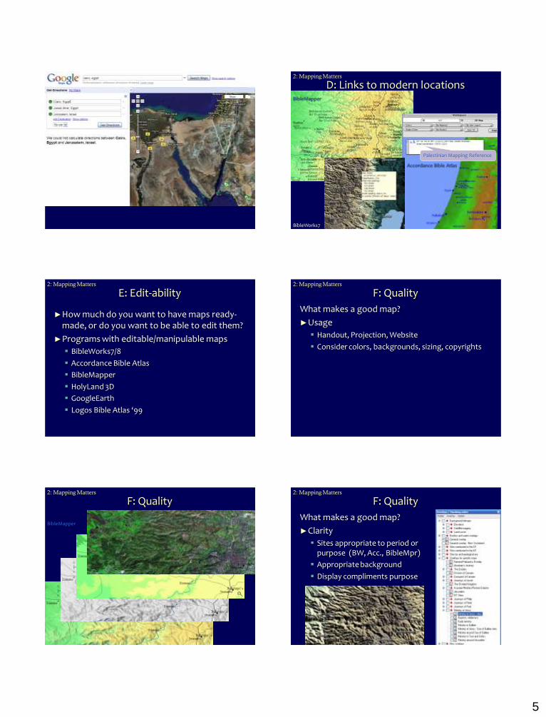
E: Edit-ability
►How much do you want to have maps ready-made, or do you want to be able to edit them?
►Programs with editable/manipulable maps
BibleWorks7/8
Accordance Bible Atlas
BibleMapper
HolyLand 3D
GoogleEarth
Logos Bible Atlas ‘99
2: Mapping Matters
F: Quality
What makes a good map?
►Usage
Handout, Projection, Website
Consider colors, backgrounds, sizing, copyrights
2: Mapping Matters
F: Quality2: Mapping Matters
BibleMapper
F: Quality
What makes a good map?
►Clarity
Sites appropriate to period or purpose (BW, Acc., BibleMpr)
Appropriate background
Display compliments purpose
2: Mapping Matters
6
Logos Deluxe Map Set Israel’s Last Campaign West of the Jordan
The Resurrection of Jesus and Subsequent Events
F: Quality (or lack of)2: Mapping Matters
Sample from forthcoming Logos Map / Atlas
Thanks to Vince Setterholm
F: Quality2: Mapping Matters
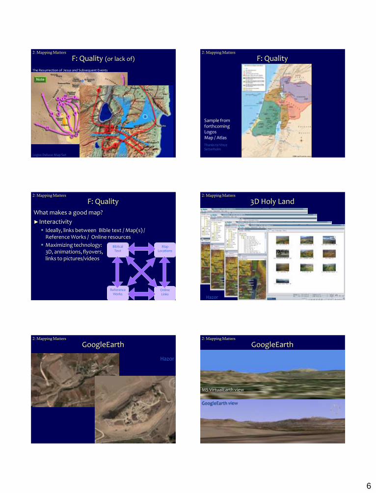
F: Quality
What makes a good map?
►Interactivity
Ideally, links between Bible text / Map(s) / Reference Works / Online resources
Maximizing technology: 3D, animations, flyovers, links to pictures/videos
2: Mapping Matters
Biblical Text
Map Locations
ReferenceWorks
Online Links
3D Holy Land
Hazor
2: Mapping Matters
GoogleEarth
Hazor
2: Mapping Matters
GoogleEarthView from Hazor to Mt. Hermon
Personal Picture: 2007.01
2: Mapping Matters
GoogleEarth view
MS VirtualEarth view
7
G: Using Maps
►Overview and Perspective
►Illustration
Biblical Events
History and Geography►Gerasa by Stephen Langfur
(www.netours.com/jrs/2003/Gerasa2-12.html)
2: Mapping Matters
G: Using Maps
Megiddo
Holy Land 3D
2: Mapping Matters
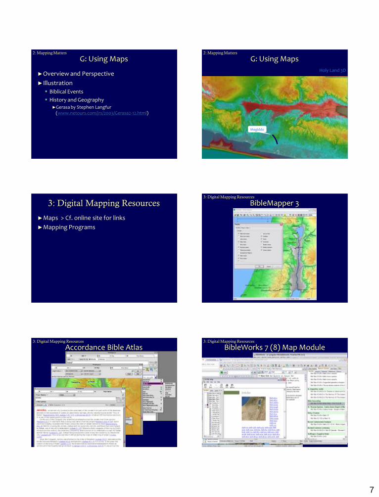
3: Digital Mapping Resources
►Maps > Cf. online site for links
►Mapping Programs
BibleMapper 33: Digital Mapping Resources
Accordance Bible Atlas3: Digital Mapping Resources
BibleWorks 7 (8) Map Module3: Digital Mapping Resources
8
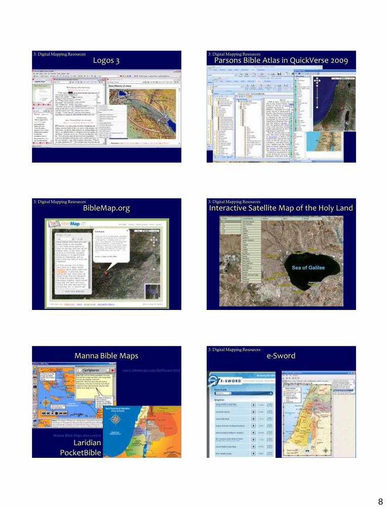
Logos 33: Digital Mapping Resources
Parsons Bible Atlas in QuickVerse 20093: Digital Mapping Resources
BibleMap.org3: Digital Mapping Resources
Interactive Satellite Map of the Holy Land3: Digital Mapping Resources
Manna Bible Maps
Manna Bible Maps also used in
Laridian PocketBible
www.biblemaps.com/Software.html
e-Sword3: Digital Mapping Resources
9
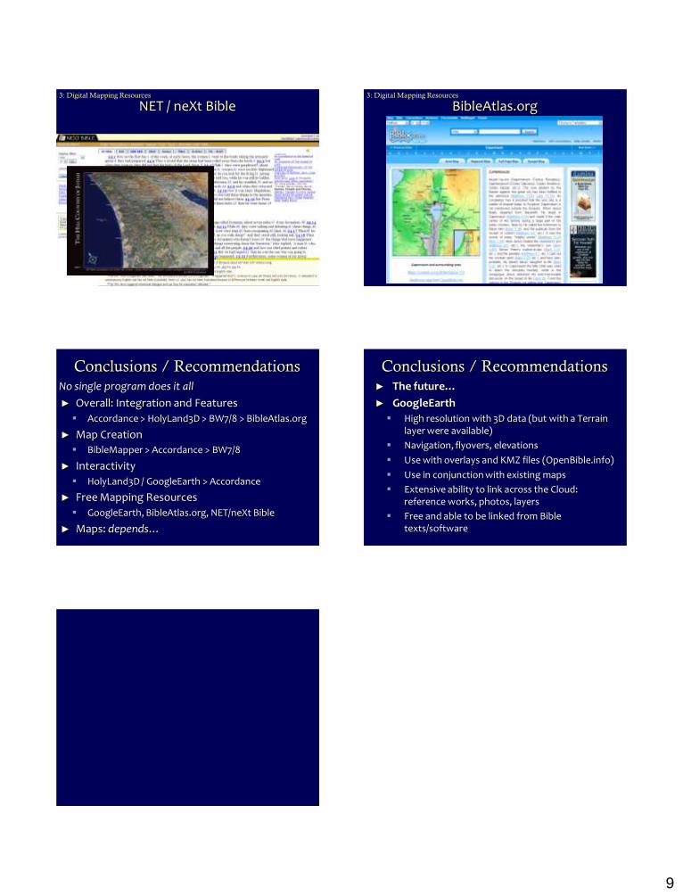
NET / neXt Bible3: Digital Mapping Resources
BibleAtlas.org3: Digital Mapping Resources
Conclusions / Recommendations
No single program does it all
► Overall: Integration and Features
Accordance > HolyLand3D > BW7/8 > BibleAtlas.org
► Map Creation
BibleMapper > Accordance > BW7/8
► Interactivity
HolyLand3D / GoogleEarth > Accordance
► Free Mapping Resources
GoogleEarth, BibleAtlas.org, NET/neXt Bible
► Maps: depends…
Conclusions / Recommendations
► The future…
► GoogleEarth
High resolution with 3D data (but with a Terrain layer were available)
Navigation, flyovers, elevations
Use with overlays and KMZ files (OpenBible.info)
Use in conjunction with existing maps
Extensive ability to link across the Cloud: reference works, photos, layers
Free and able to be linked from Bible texts/software


![Prayer Mapping- Biblical or demonic - Spiritual Warfare · Prayer Mapping- Biblical or demonic? A wise man[chakam] scaleth the city of the mighty, and casteth down the strength of](https://img.pdfslide.us/doc/110x75/5b40c0ec7f8b9a3a138da33a/prayer-mapping-biblical-or-demonic-spiritual-prayer-mapping-biblical-or.jpg)