Embed Size (px)
Citation preview
Digital Orthophotography in an Ortho-Rectified, Geo-Corrected
NutshellPaige Baldassaro
Geospatial Applications DeveloperGeospatial Extension Program
[email protected]://www.cnr.vt.edu/gep
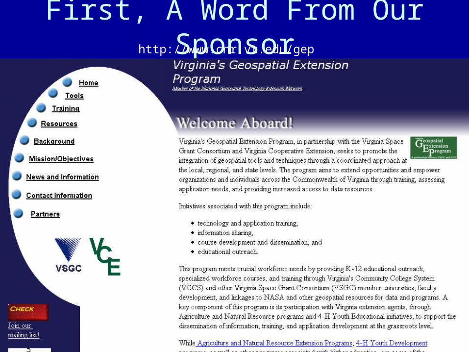
First, A Word From Our Sponsorhttp://www.cnr.vt.edu/gep
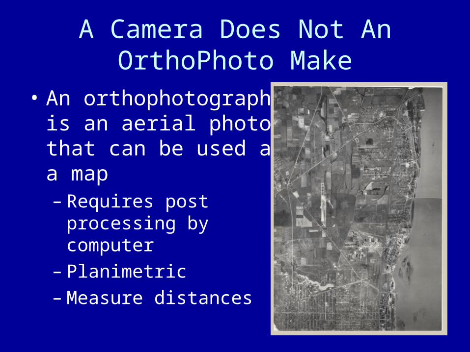
A Camera Does Not An OrthoPhoto Make
• An orthophotograph is an aerial photograph that can be used as a map– Requires post
processing by computer
– Planimetric– Measure distances
To Be An Aerial photograph Is Just Not Good Enough
• A conventional aerial photograph contains image distortions caused by– Poor camera optics– Tilting of the camera– Tilting of the terrain (topography)– Distance from the central perspective– Vertical relief
• It does not have a uniform scale• Contains errors in location, distance, and area
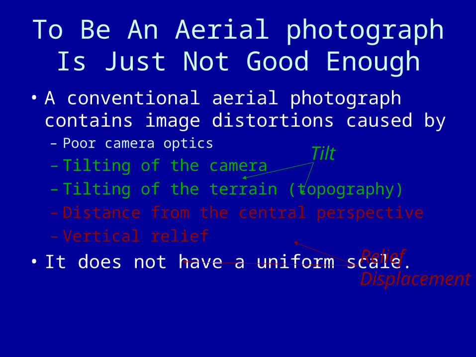
To Be An Aerial photograph Is Just Not Good Enough
• A conventional aerial photograph contains image distortions caused by– Poor camera optics
– Tilting of the camera– Tilting of the terrain (topography)– Distance from the central perspective– Vertical relief
• It does not have a uniform scale.
Tilt
Relief Displacement
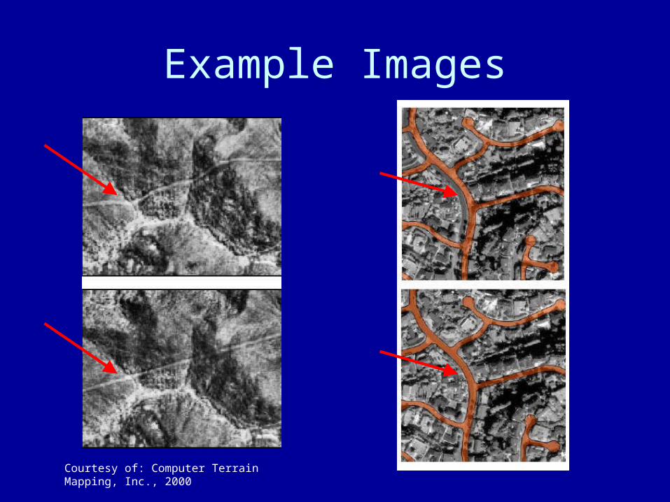
Example Images
Courtesy of: Computer Terrain Mapping, Inc., 2000
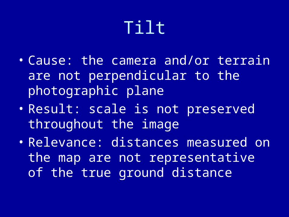
Tilt
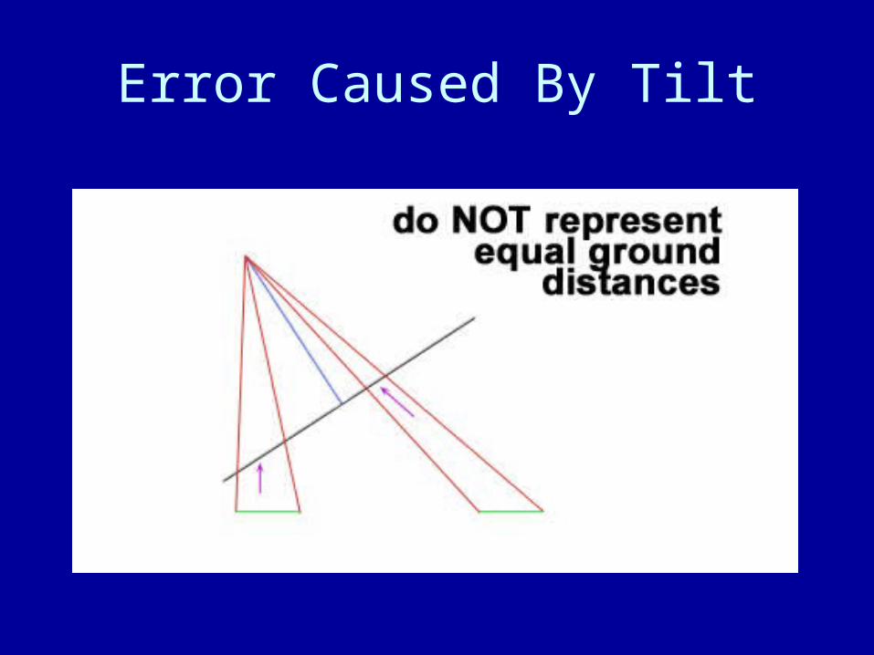
• Cause: the camera and/or terrain are not perpendicular to the photographic plane
• Result: scale is not preserved throughout the image
• Relevance: distances measured on the map are not representative of the true ground distance
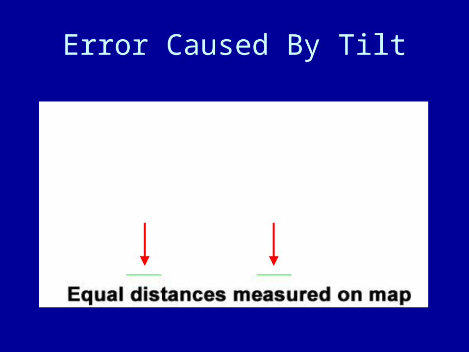
Error Caused By Tilt
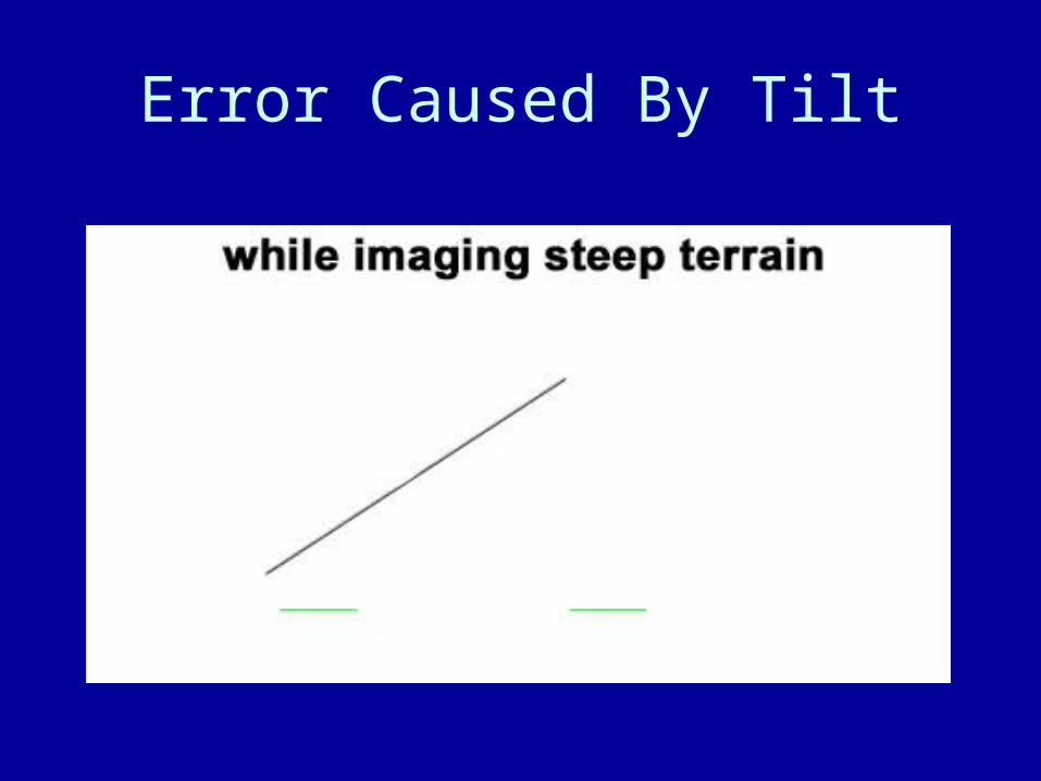
Error Caused By Tilt
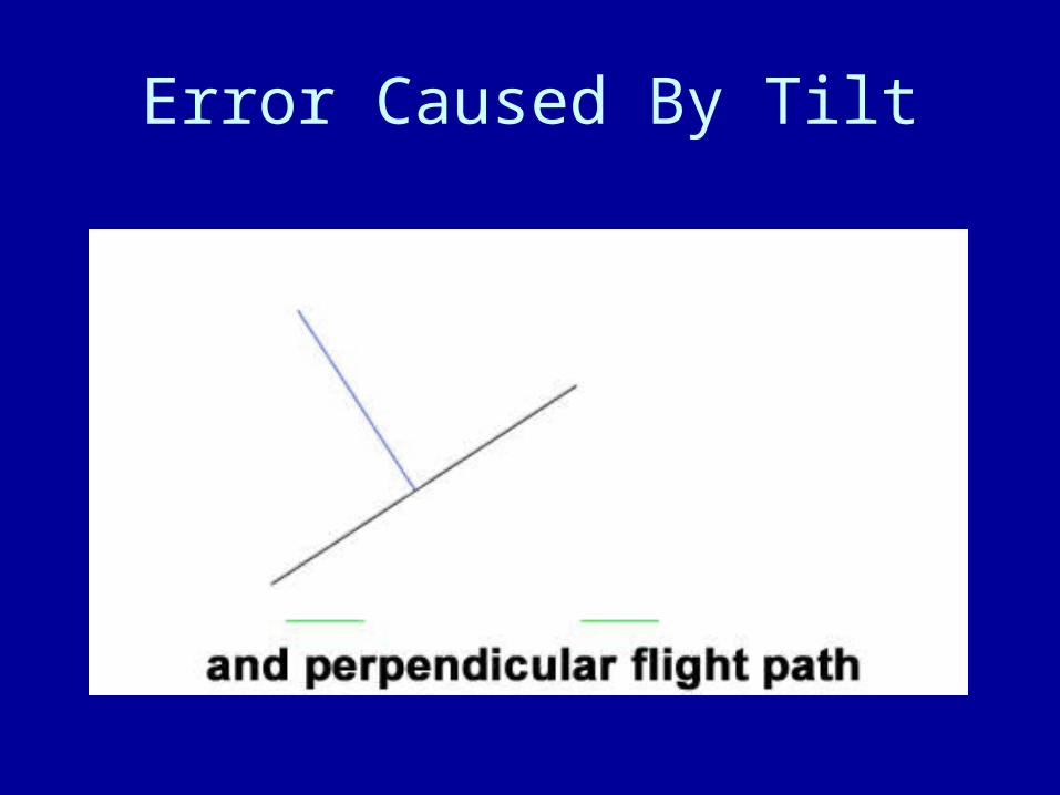
Error Caused By Tilt
Error Caused By Tilt
Relief Displacement
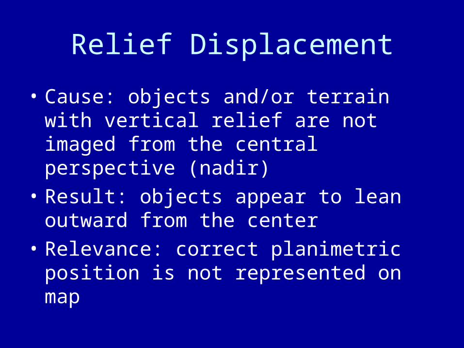
• Cause: objects and/or terrain with vertical relief are not imaged from the central perspective (nadir)
• Result: objects appear to lean outward from the center
• Relevance: correct planimetric position is not represented on map
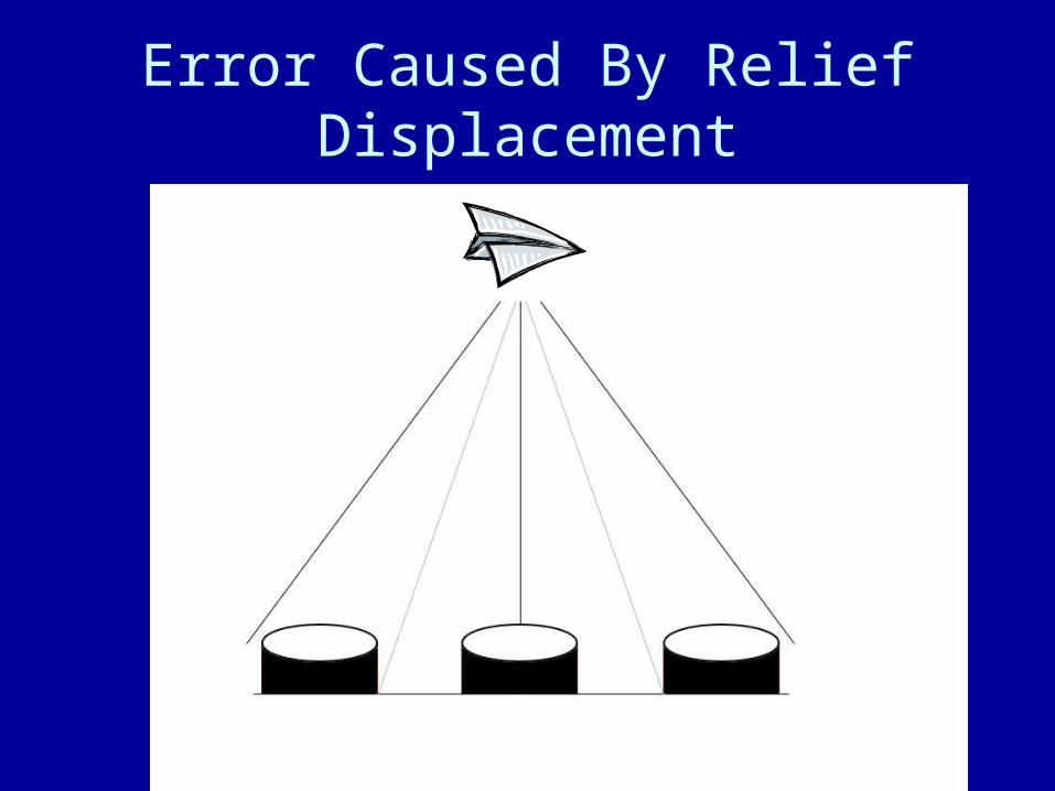
Error Caused By Relief Displacement
DOQ/DOQQ
• DOQ – Digital Orthophoto Quadrangle– Orthophotos prepared in a digital format,
designed to correspond to the 7.5-minute quadrangles of the USGS.
• DOQQ – Digital Orthophoto Quarter Quadrangle– ¼ of a DOQ
Digital Orthophotography Uses
• Effects of tilt and relief are removed from the aerial photograph by a mathematical process called rectification.
• An orthophoto may serve as a base map onto which other map information may be overlain.
• A DOQ can be used on-screen to collect, review, and revise other digital data, especially digital line graphs (DLG) and topographic maps.
• When the DOQ is combined with other digital products, such as digital raster graphics (DRG) or digital elevation models (DEM), the resulting image provides additional visual information for the extraction and revision of base cartographic information.
Courtesy of: USGS
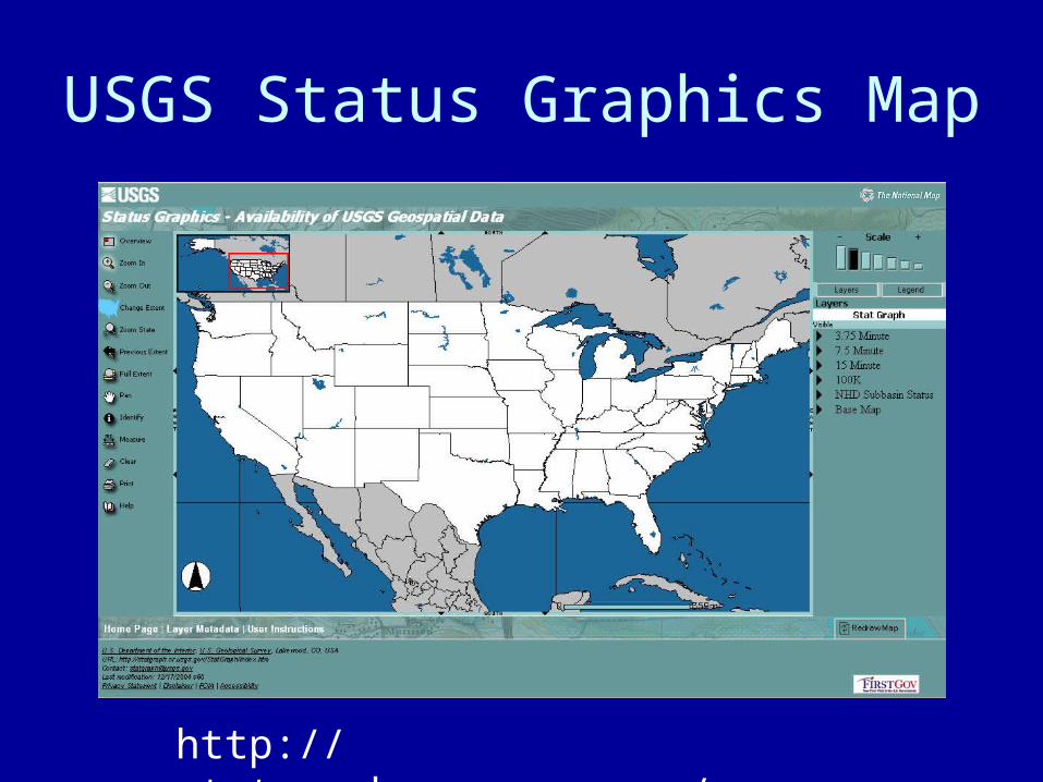
USGS Status Graphics Map
http://statgraph.cr.usgs.gov/viewer.htm
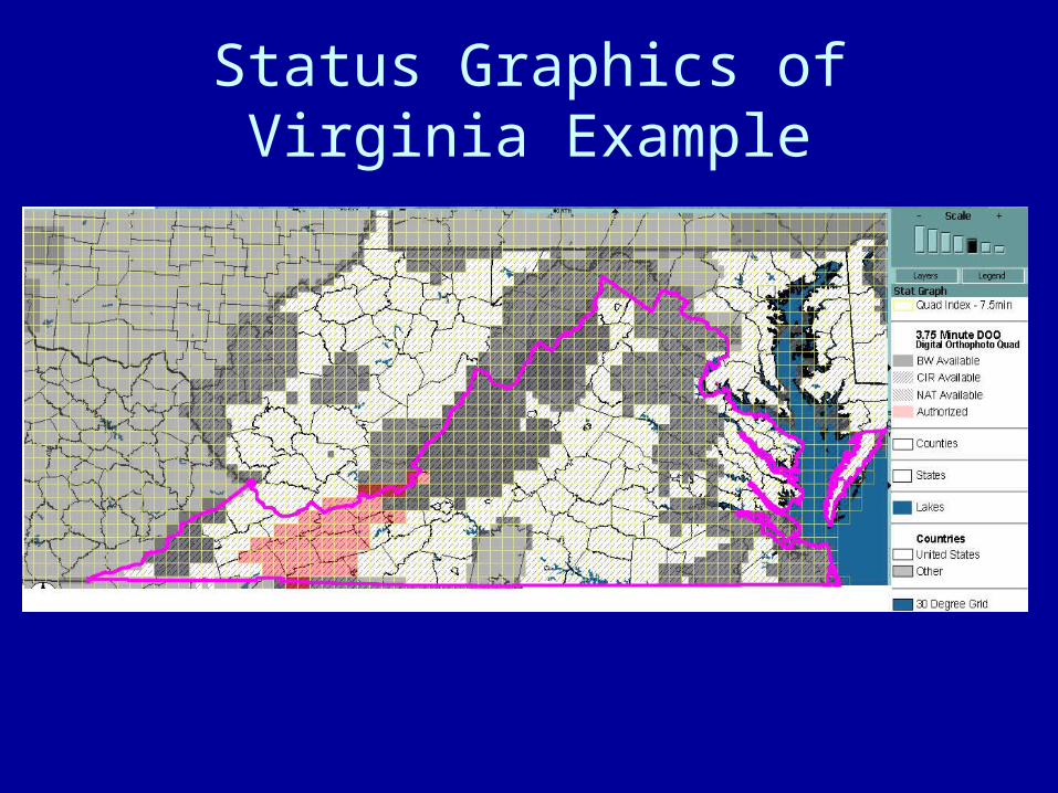
Status Graphics of Virginia Example