Embed Size (px)
Citation preview

Des Moines Creek - A Holistic Approach to Watershed Restoration
ByZahid Khan, PE & Jon Hansen
King County Department of Natural Resources & Parks

Presentation Outline
• Des Moines Creek Basin Description• Basin Planning Process• Holistic Restoration Approach• Modeling & Assessment• Regulatory Issues• Cost & Schedule

Vicinity Map

Project Vicinity Map
• Located within Cities of SeaTac and Des Moines
• Adjacent to SeaTac international airport
• 12 miles south of Seattle

Des Moines Creek

Des Moines Creek Basin
Basin area - 5.8 square miles.Two branches, two main tributaries.Three distinct reaches -Plateau, Ravine and Lower.

Des Moines Creek Plateau Reach

Basin Land Use
1997
1937

Existing Wetland System

Wetland Characteristics
• 30+ acre wetland with multiple communities
• Forested, Scrub/Shrub, and Open water
• Emergent areas within existing golf course
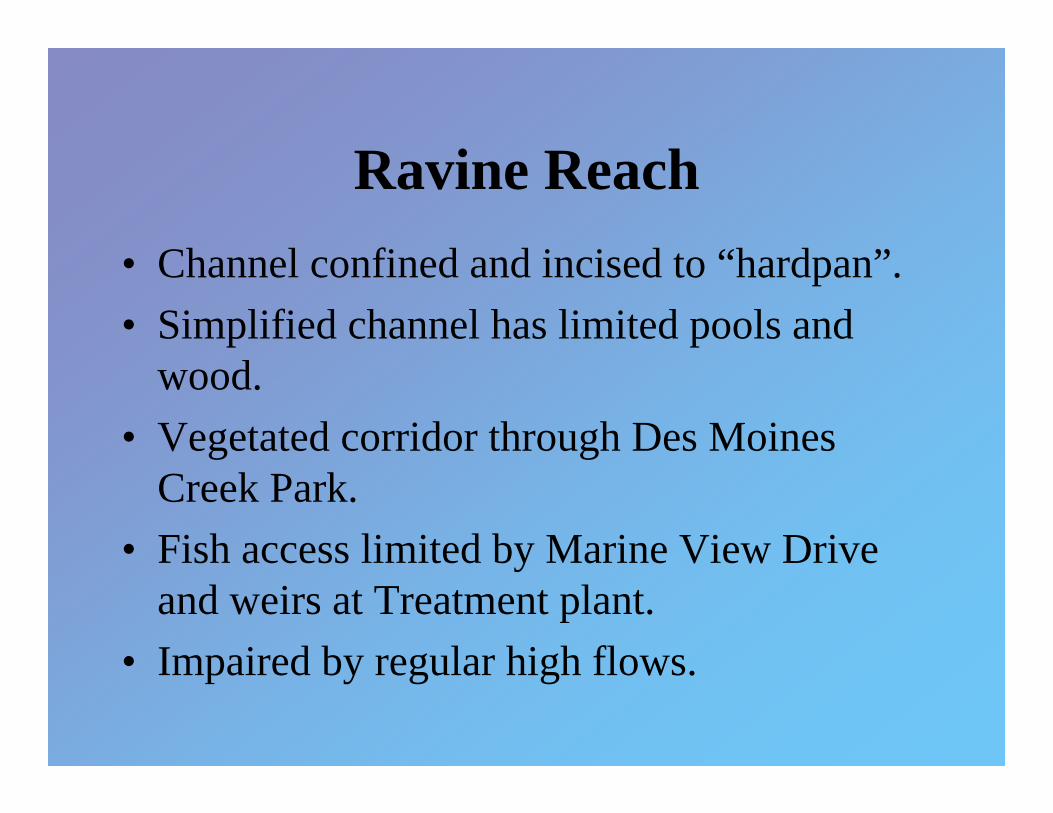
Ravine Reach• Channel confined and incised to “hardpan”.• Simplified channel has limited pools and
wood.• Vegetated corridor through Des Moines
Creek Park.• Fish access limited by Marine View Drive
and weirs at Treatment plant.• Impaired by regular high flows.
Ravine Reach

Lower Reach

Lower Reaches
• Good existing fish habitat (pools, riffles, cover).
• Has potential to provide productive habitat.
• Fish access limited by Marine View Drive.
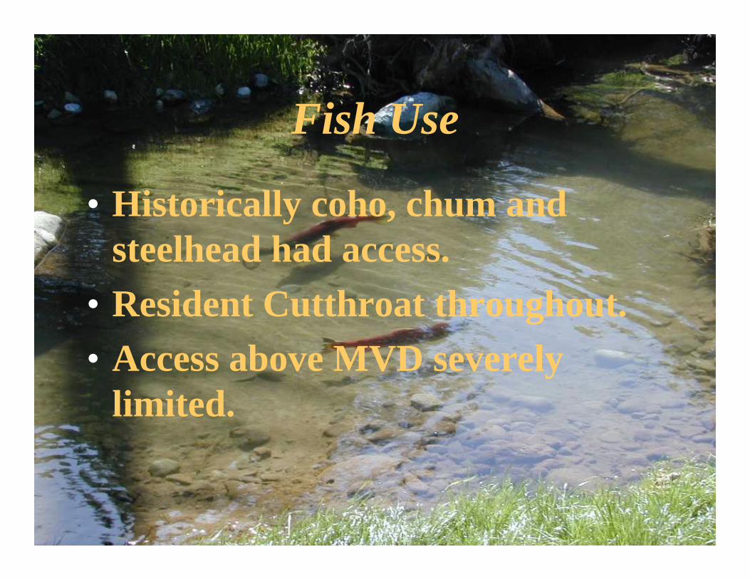
Fish Use
• Historically coho, chum and steelhead had access.
• Resident Cutthroat throughout.• Access above MVD severely
limited.

Existing Problems• Inadequate flow control measures.• Impaired fish habitat.• Downstream flooding.• Reduced summer base flow.• Degraded water quality• Fish passage barrier.

Basin Planning Process

• City of Des Moines• City of SeaTac• Port of Seattle• King County• Washington State
Department of Transportation
Des Moines Creek Basin Plan Committee
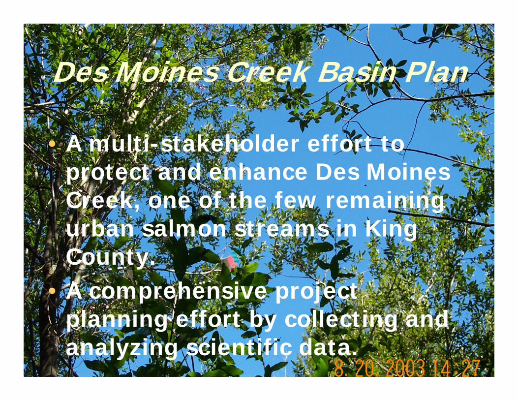
Des Moines Creek Basin Plan
• A multi-stakeholder effort to protect and enhance Des Moines Creek, one of the few remaining urban salmon streams in King County.
• A comprehensive project planning effort by collecting and analyzing scientific data.
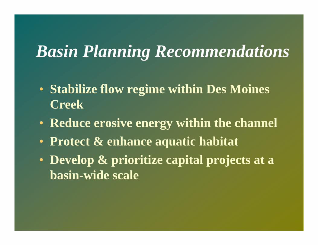
Basin Planning Recommendations
• Stabilize flow regime within Des Moines Creek
• Reduce erosive energy within the channel• Protect & enhance aquatic habitat• Develop & prioritize capital projects at a
basin-wide scale

Holistic Restoration Approach

Proposed Projects
Regional Detention Pond.High-flow Bypass to Puget Sound.In-stream Habitat Enhancement.Low Flow Augmentation.Culvert Replacement Under Marine View Drive.

Project Goals
• Stabilize the stream channel and reduce erosion.
• Restore fish passage. • Enhance fish habitat.• Minimize flooding downstream.• Augment stream flow.

Project Sites
• Detention pond• High-flow bypass• Fish habitat
enhancement• Fish passage
improvement• Low flow
augmentation

Regional Detention Pond
• Reduce peak flows by storing water during storms.
• Release flow at a slower rate.
• Reduce erosive flow velocity downstream.

Conceptual Plan

High Flow Bypass System
• Divert high flows to the existing pipeline.
• Reduce erosive flow in the creek during storms.
• Maximize the RDF efficiency.
• Outfall into Puget Sound.

High Flow Bypass Route

Culvert Replacement Under Marine View Drive
• Obstruct Fish Passage through the existing culvert.
• Replace the culvert with a bridge.
• Provide fish access to more than one mile of quality habitat.
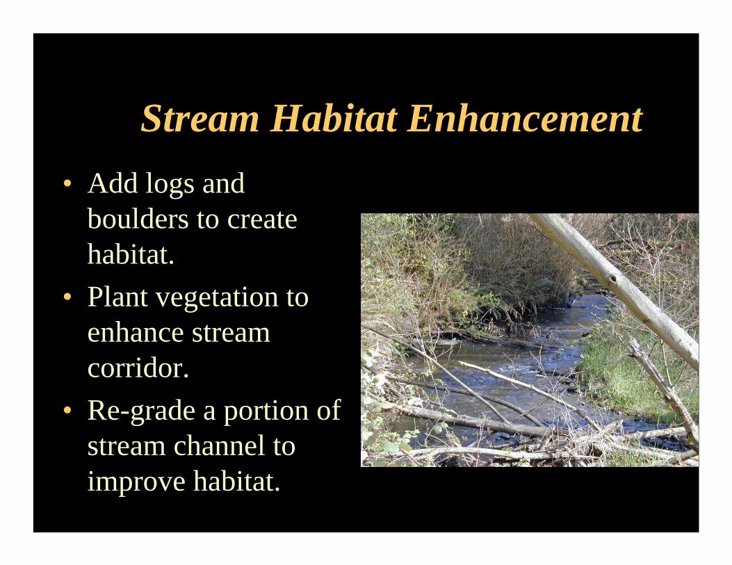
Stream Habitat Enhancement• Add logs and
boulders to create habitat.
• Plant vegetation to enhance stream corridor.
• Re-grade a portion of stream channel to improve habitat.

Fish Habitat Improvement Zones
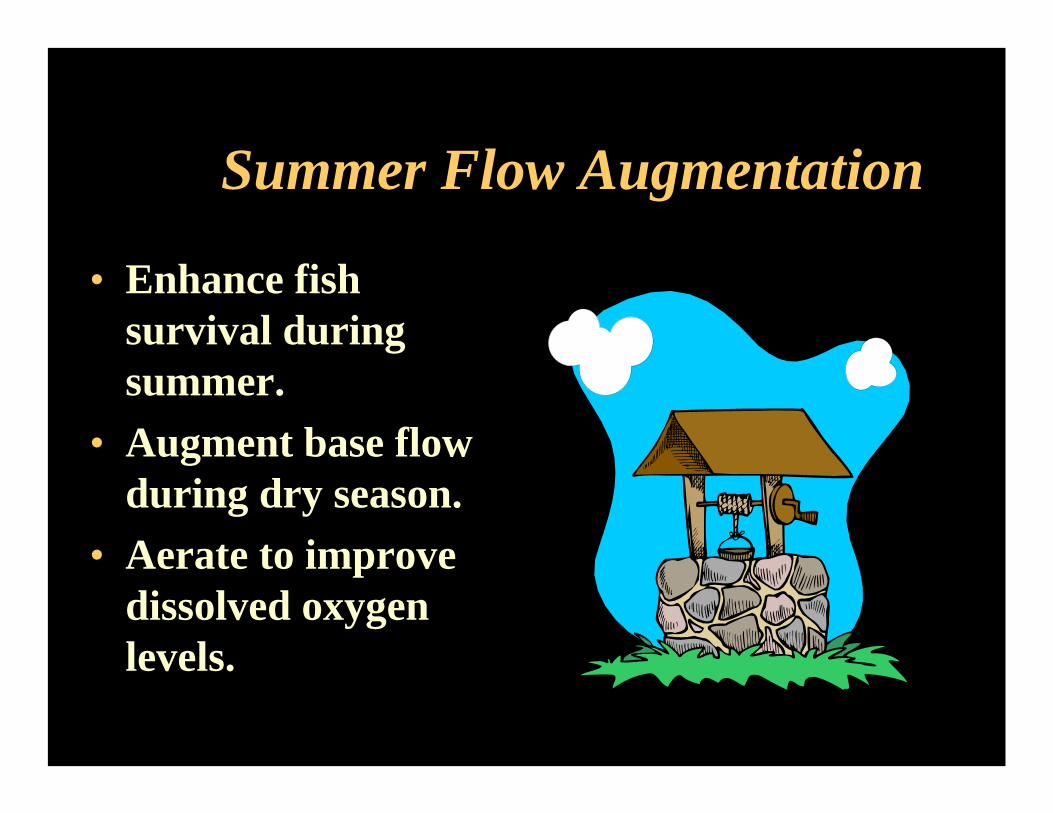
Summer Flow Augmentation
• Enhance fish survival during summer.
• Augment base flow during dry season.
• Aerate to improve dissolved oxygen levels.

Overall Project Benefits• Reduce high flows to minimize
instream erosion & flooding.• Improve fish access and enhance
habitat.• Augment stream flow during dry
season.• Reduce stormwater detention for
future development.

Modeling & Assessment

HSPF Modeling Goals
• Study the Effectiveness of the RDF to Provide Flow Control
• Assess Water Level Fluctuation and Duration Within the Wetlands
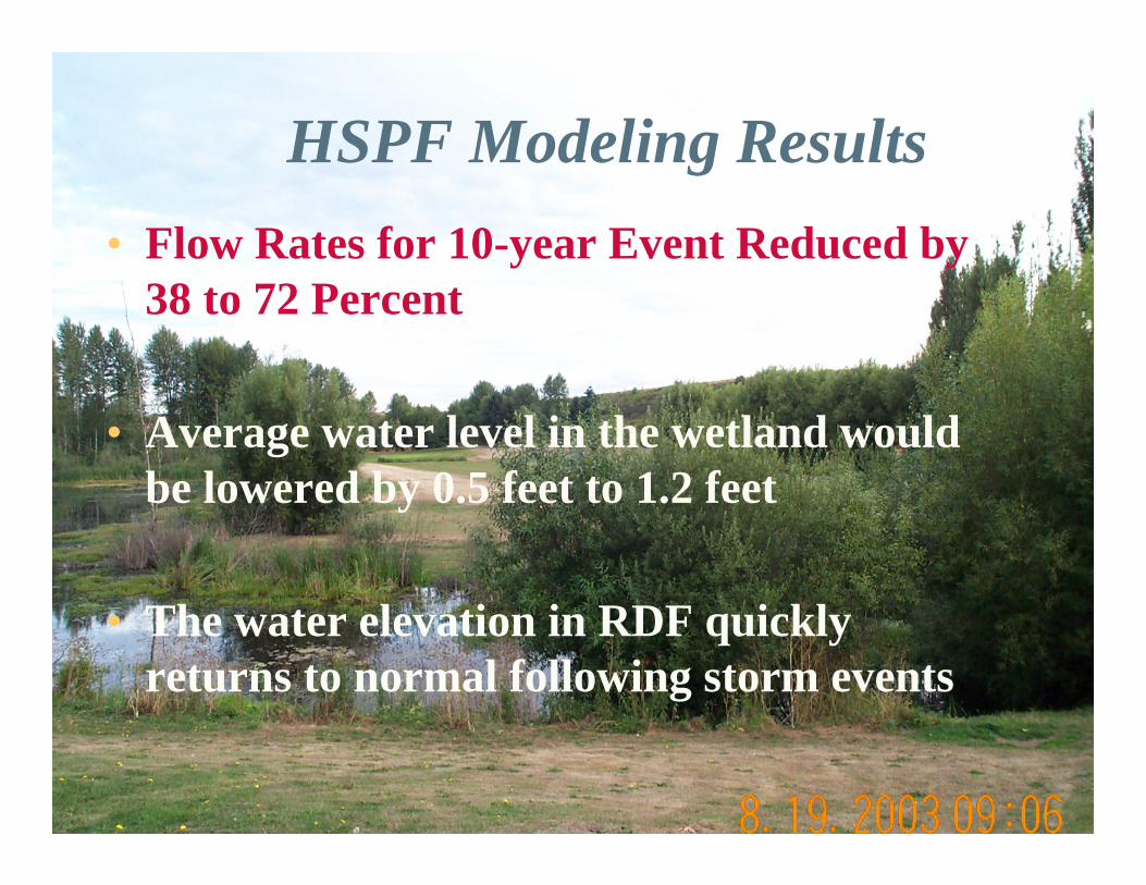
HSPF Modeling Results• Flow Rates for 10-year Event Reduced by
38 to 72 Percent
• Average water level in the wetland would be lowered by 0.5 feet to 1.2 feet
• The water elevation in RDF quickly returns to normal following storm events
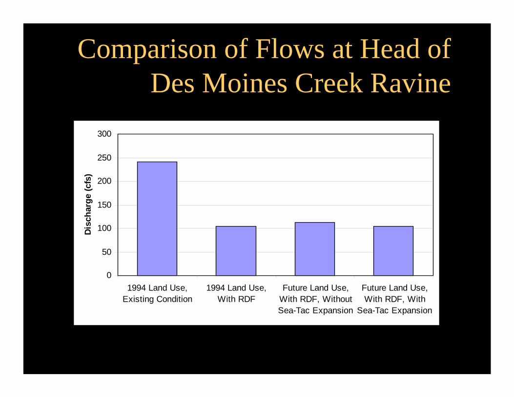
Comparison of Flows at Head of Des Moines Creek Ravine
0
50
100
150
200
250
300
1994 Land Use,Existing Condition
1994 Land Use,With RDF
Future Land Use,With RDF, WithoutSea-Tac Expansion
Future Land Use,With RDF, With
Sea-Tac Expansion
Disc
harg
e (c
fs)

Flooding of Community Center in Des Moines Beach Park November 14, 2001 Flood
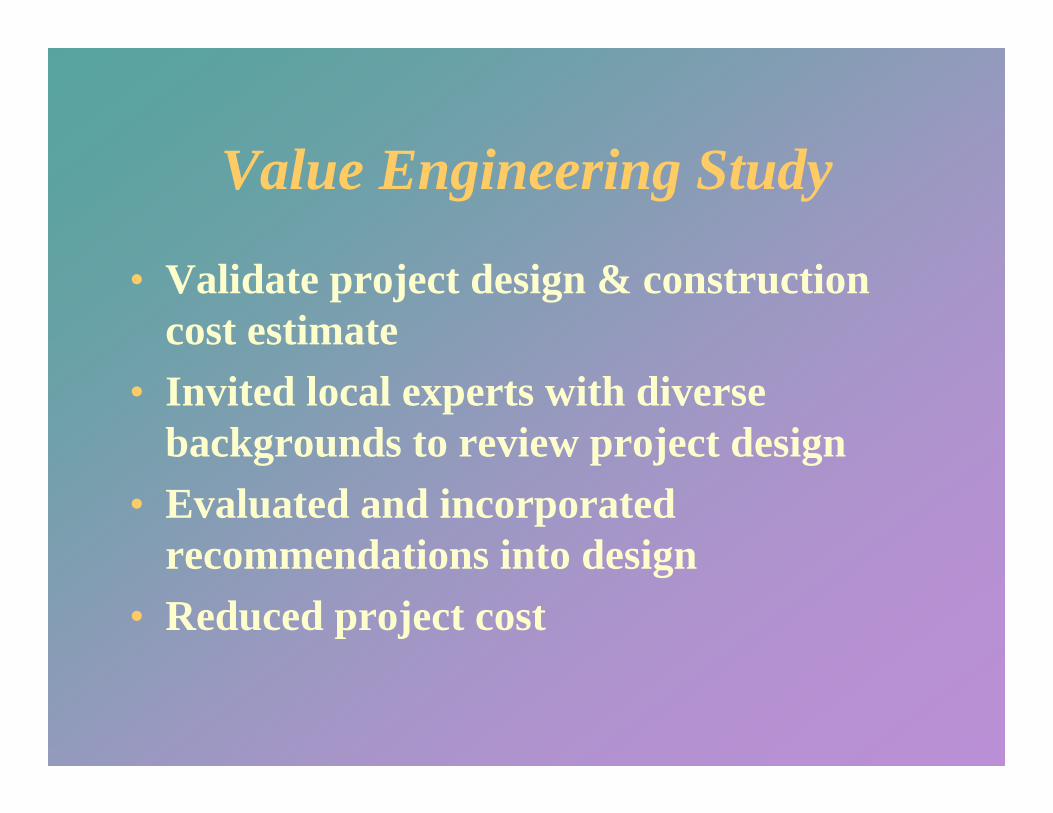
Value Engineering Study
• Validate project design & construction cost estimate
• Invited local experts with diverse backgrounds to review project design
• Evaluated and incorporated recommendations into design
• Reduced project cost

Regulatory Issues

Regulatory Issues
• Detain stormwater within a wetland for the benefit of fish/stream restoration
• Minimize water impoundment to reduce risk of bird strike on airplanes
• Direct discharge to Puget Sound • Setting a new watershed standard for
stormwater detention• Use of groundwater to augment stream
flow during dry summer

Permit Authorities• US Army Corps of Engineers (Section 404 CWA)• Federal Aviation Administration • U.S. Fish and Wildlife Service (Section 7 ESA)• NOAA Fisheries (Section 7 ESA)• US Department of Agriculture (bird strike)• WA Department of Ecology (Section 401 and Water
rights)• WA Department of Fish and Wildlife (HPA)• WA Department of Natural Resources (Aquatic Lease)• Port of Seattle • City of SeaTac• City of Des Moines

Project CostPlanning, design, & permitting = $1.2 MConstruction of RDF = $11.5MConstruction of bypass = $1.2MStream restoration projects = $0.6MLow flow augmentation project = $0.25MConstruction of MVD Bridge = $3.75M Oversight, monitoring, compliance = $0.75MConstruction management = $0.75MTOTAL ESTIMATED COST = $20M
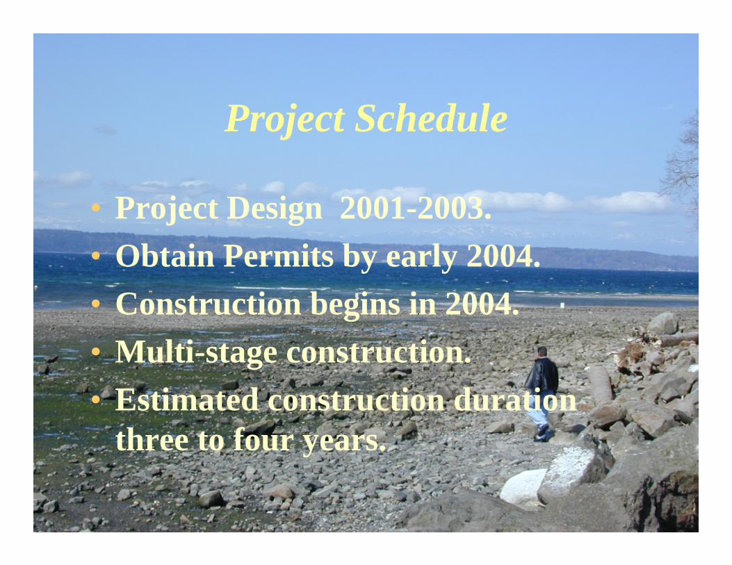
Project Schedule
• Project Design 2001-2003.• Obtain Permits by early 2004.• Construction begins in 2004.• Multi-stage construction.• Estimated construction duration
three to four years.

Questions?