Embed Size (px)
Citation preview

N A T I O N A L O C E A N I C A N D A T M O S P H E R I C A D M I N I S T R A T I O N
2018 NPSR 2018 NPSR
Current Status and Plans for Convection Allowing Models in the NCEP Production
Suite Jacob R. Carley
NOAA/NCEP/Environmental Modeling Center
With acknowledgements to EMC colleagues and the UFS CAM SIP Working Group
1
N A T I O N A L O C E A N I C A N D A T M O S P H E R I C A D M I N I S T R A T I O N
2018 NPSR
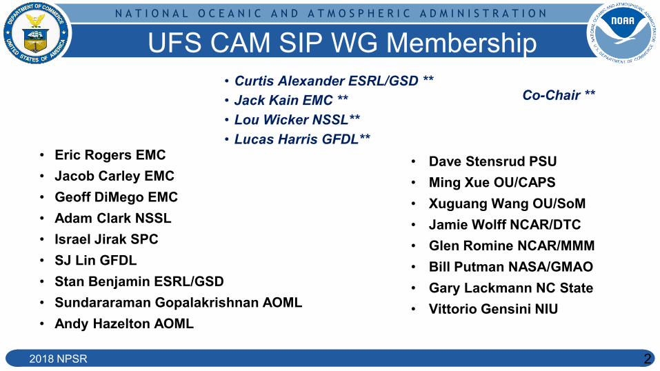
UFS CAM SIP WG Membership • Curtis Alexander ESRL/GSD ** • Jack Kain EMC ** • Lou Wicker NSSL** • Lucas Harris GFDL**
• Dave Stensrud PSU • Ming Xue OU/CAPS • Xuguang Wang OU/SoM • Jamie Wolff NCAR/DTC • Glen Romine NCAR/MMM • Bill Putman NASA/GMAO • Gary Lackmann NC State • Vittorio Gensini NIU
Co-Chair **
• Eric Rogers EMC • Jacob Carley EMC • Geoff DiMego EMC • Adam Clark NSSL • Israel Jirak SPC • SJ Lin GFDL • Stan Benjamin ESRL/GSD • Sundararaman Gopalakrishnan AOML • Andy Hazelton AOML
2

N A T I O N A L O C E A N I C A N D A T M O S P H E R I C A D M I N I S T R A T I O N
2018 NPSR
● Cover CONUS + OCONUS in a large variety of capacities
● NAM + Nests ● HRRR CONUS and Alaska ● HiRes Windows
3
Current Status - Quite a bit
○ ARW and NMMB members for each domain ● Much of this has been consolidated in the HREF
○ High Resolution Ensemble Forecast system ○ Motivated by the successes of the SSEO from SPC
NAM+Nests
RAP/HRRR
HiResWs

N A T I O N A L O C E A N I C A N D A T M O S P H E R I C A D M I N I S T R A T I O N
2018 NPSR 4
The HREF v2 0 +12 +24 +36 -12
HiresW – ARW (RAP init)
HiresW – NMMB (RAP init)
NAM NEST - NMMB (NAM init) **CONUS ONLY**
HIRESW - “mem2” ARW (NAM init)
*Covers CONUS, Alaska, Hawaii, and Puerto Rico Thanks to Matthew Pyle and Israel Jirak for the material on this slide
2018 HWT results: HREF rated higher than other formally constructed CAM ensembles for severe weather guidance in subjective evaluations
8 members for CONUS 4 distinct members 4 time lagged

N A T I O N A L O C E A N I C A N D A T M O S P H E R I C A D M I N I S T R A T I O N
2018 NPSR
● NAM was frozen at version 4 (March 2017) ● HiRes Window systems are currently frozen ● RAP/HRRR has one more upgrade scheduled ~FY20 ● The HREF was a natural step forward in aggregating
much of the CAM output into an ensemble ○ But the underlying components of HREF are frozen or about
to be - so what’s next?
5
What’s Next?

N A T I O N A L O C E A N I C A N D A T M O S P H E R I C A D M I N I S T R A T I O N
2018 NPSR
FV3 → Adaption for GFS First then CAM
Courtesy: GFDL
6
• NOAA GFDL FV3 selected for dynamic core component of NGGPS – *Going into operations with GFS v15*
• Early 2019
• Opportunity to unify efforts and enhance collaboration for CAM applications – EMC/GSD/NSSL/AOML/GFDL/DTC/etc

N A T I O N A L O C E A N I C A N D A T M O S P H E R I C A D M I N I S T R A T I O N
2018 NPSR 7
FV3-CAM Timeline → Rapid Refresh Forecast System
FY18/19
FY21
~FY22
Freeze all non-FV3 CAM systems
*Timeline may be revised as development matures/progresses*
Q4FY20
Q2FY20
Development underway standalone/regional, nesting,
DA, physics, etc.
HREFv3 Replace poorer performing members with FV3-CAM
RRFSv1 Implement RRFSv1 pending favorable
evaluation
CAM Development Continues Demonstration FV3-CAM ensemble DA + forecast system - evaluate against HREF. Continue physics testing/advancement.
Rapid Refresh Forecast System → To replace HREF, HRRR, NAM + nests, HiResWs

N A T I O N A L O C E A N I C A N D A T M O S P H E R I C A D M I N I S T R A T I O N
● FV3 is a global model with a nest capability ● Need a standalone grid option for CAM applications ● Why?
○ Extra resources are not needed for a global parent ○ Rapid updates in DA are much more feasible
● Obvious potential drawback
8
Highlights → Standalone Alone Regional
○ Boundary data from an external forecast cannot be as accurate as those provided by a parent to a nest every timestep during the integration
● Recent tests show standalone is 2x faster!

N A T I O N A L O C E A N I C A N D A T M O S P H E R I C A D M I N I S T R A T I O N
2018 NPSR 2018 NPSR
3 km NAM 3 km FV3-SAR
32h Forecasts of Hurricane Michael
**Example → meant to demonstrate progress on key components**
9
Highlights →Current DA Testing

N A T I O N A L O C E A N I C A N D A T M O S P H E R I C A D M I N I S T R A T I O N
2018 NPSR
● Can GFS and GEFS take over NAM/RAP and SREF capabilities in the next couple years? ○ GFS and GEFS comparable
resolution ○ Some outstanding issues
currently inhibit this ■ e.g. BL thermo issues ■ Spread? (GEFS? Single core
CAM ensemble? 10
Challenge: NAM/RAP/SREF?

N A T I O N A L O C E A N I C A N D A T M O S P H E R I C A D M I N I S T R A T I O N
2018 NPSR
Summary ● RAPv5/HRRRv4 dev and final implementation
○ Now to Q2 FY20 ● Transition work of existing Meso/CAM capabilities to FV3-CAM
○ Now to Q4 FY20 ○ HREFv3
● Rapid Refresh Forecast System [RRFS] ○ Q4 FY20 to ~FY22 ○ Rapid update ensemble DA and forecast system ○ Replaces NAM/NAM nests/RAP/HRRR
● EMC/GSD/NSSL/GFDL/DTC/etc. Collab. ● Thanks!
11
Contact: [email protected]
N A T I O N A L O C E A N I C A N D A T M O S P H E R I C A D M I N I S T R A T I O N
2018 NPSR 12
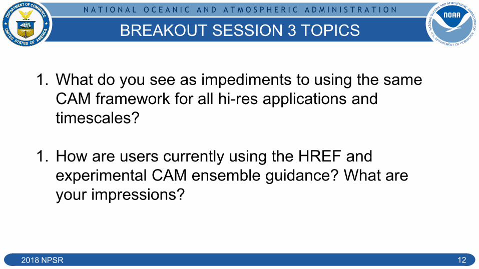
BREAKOUT SESSION 3 TOPICS
1. What do you see as impediments to using the same CAM framework for all hi-res applications and timescales?
1. How are users currently using the HREF and experimental CAM ensemble guidance? What are your impressions?
N A T I O N A L O C E A N I C A N D A T M O S P H E R I C A D M I N I S T R A T I O N
2018 NPSR 13
Supplementary

N A T I O N A L O C E A N I C A N D A T M O S P H E R I C A D M I N I S T R A T I O N
2018 NPSR 2018 NPSR
Highlights →Current DA Testing
● The GSI system has been developed to interface directly with the FV3 native grid for a tile or nest input
● Configuration similar to 3 km NAM CONUS nest, using hourly RAP obs ● Very much in experimental/sandbox testing mode
Coldstart from FV3-GFS Parallel
Hourly hybrid 3DEnVar assimilation ● Using global EnKF members ● Assimilates hourly RAP obs ● *NO* cloud analysis and reflectivity derived latent heating ● *NO CAM ensemble at this time*
60 hr 3 km forecast
6 hour forecast at 3 km
14

N A T I O N A L O C E A N I C A N D A T M O S P H E R I C A D M I N I S T R A T I O N
2018 NPSR
Development of NGGPS/UFS Planning Documents
26 Sept 2018 NGGPS Update 15
Forecast Field Application Vertical Attribute Temporal Attribute Validation Source Priority/Importance Maturity/Readiness Deterministic Methodology Determinisitic Scores Deterministic Stratifications Ensemble Methodology Ensemble Scores Ensemble Stratifications
Downward Shortwave Radiation
Air Quality/Energy Land Surface
Surface Instantaneous/Average
ARM, Surfrad (Oak ridge, ameriflux), USCRN
3 1 Grid-to-Point RMSE, BIAS sub-regions, Need to average in time
Ceiling Aviation Column Instantaneous METARs 1 1 Grid-to-Point
CSI, BIAS, FSS, POD, FAR, AUR,
Performance Diagram
Forecast Length [0-36 hr], Threshold [500,
1000, 3000, 5000, 10000 ft], Domain [W and E
CONUS]
Point probability, HIRA? (see MET
documentation for neighborhood around ob
points)
Briar Score, Briar Skill Score (other ensemble reference), Reliability,
Sharpness, CRPS, CRPSS (other
ensemble reference)
Smoothing [? km], Probabilities [0, 5, 10,
...100]
Echo Top Height Aviation Column Instantaneous MRMS Echo Top 2 1 Grid-to-Grid
CSI, BIAS, FSS, POD, FAR, AUR,
Performance Diagram
Forecast Length [0-36 hr], Threshold
[20,25,30,35,40 kft], Scale [03, 40 km], Domain [W and E
CONUS]
Neighborhood probability
Briar Score, Briar Skill Score (other ensemble reference), Reliability,
Sharpness, CRPS, CRPSS (other
ensemble reference)
Neighborhoods [10, 20, 40, 80 km], Smoothing [? km], Probabilities [0,
5, 10, ...100]
Visibility Aviation Surface Instantaneous METARs 1 1 Grid-to-Point
CSI, BIAS, FSS, POD, FAR, AUR,
Performance Diagram
Forecast Length [0-36 hr], Threshold [0.5, 1.0,
3.0, 5.0, 10.0 mi], Domain [W and E
CONUS]
Point probability, HIRA? (see MET
documentation for neighborhood around ob
points)
Briar Score, Briar Skill Score (other ensemble reference), Reliability,
Sharpness, CRPS, CRPSS (other
ensemble reference)
Smoothing [? km], Probabilities [0, 5, 10,
...100]
CAPE/CIN Environmental Mixed, Most-
Unstable, Surface-Based
Instantaneous RAOB 2 1 Grid-to-Point RMSE, BIAS
Forecast Length [0-36 hr], Diurnal [00,12 Z],
Domain [W and E CONUS]
Ensemble arithmetic mean, standard
deviation of ensemble members vs mean
(ensemble spread), ob error, ensemble spread + ob error (total spread),
standard deviation of ensemble mean vs obs
(ensemble error), bias of ensemble mean vs obs (ensemble bias), RMSE
and BIAS of each member (ensemble
design)
Spread-skill ratio, rank histogram?
Vertical Temporal Attributes
Validation Source
Scores and Stratifications (scales, times,
thresholds)
Priority and Readiness Rankings
Draft UFS CAM Verification Metrics (1 August 2018)
● Pre-implementation decision making is initial emphasis
● Holistic set of CAM forecast fields/applications:
○ Environmental, Severe, Precip/Winter, Aviation, Energy, Air Quality
● Total of thirty CAM forecast fields identified
● Eleven high-priority and high-readiness CAM fields identified