Embed Size (px)
Citation preview

URP 4273: Survey of Planning Information Systems UF - College of Design, Construction and Planning - URP Department
COURSE INTRODUCTION
&
COURSE OVERVIEW
week 1
URP 4273: Survey of Planning Information Systems UF - College of Design, Construction and Planning - URP Department
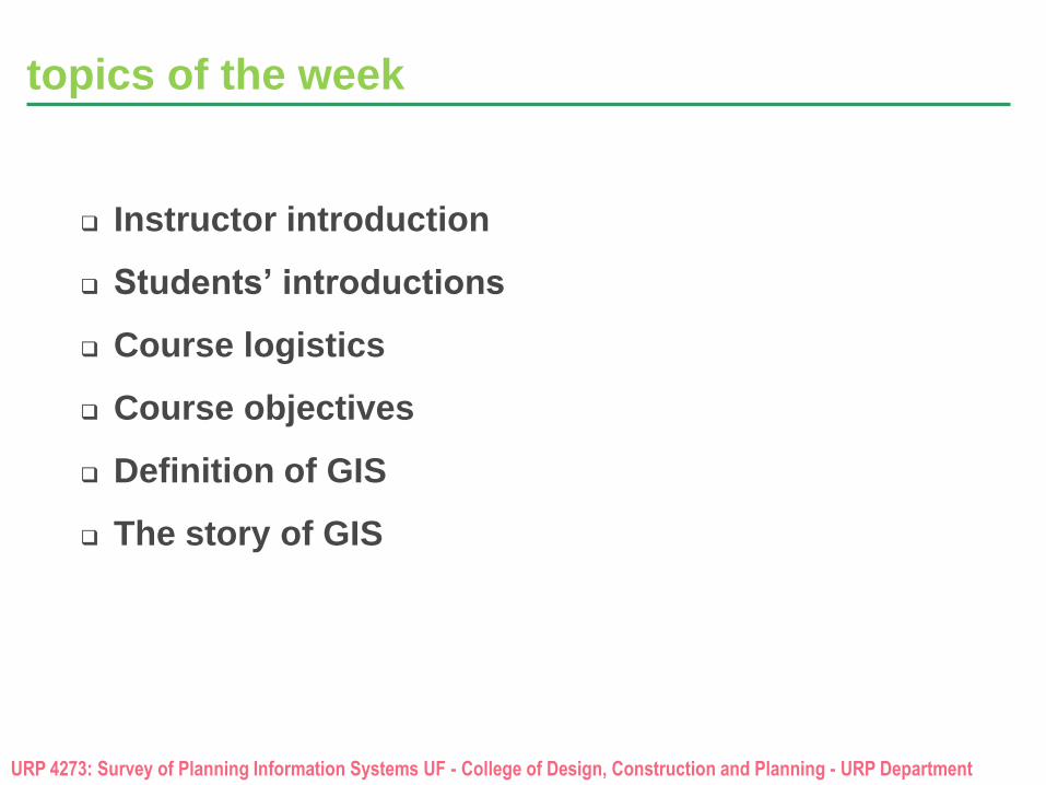
topics of the week
Instructor introduction
Students’ introductions
Course logistics
Course objectives
Definition of GIS
The story of GIS
URP 4273: Survey of Planning Information Systems UF - College of Design, Construction and Planning - URP Department
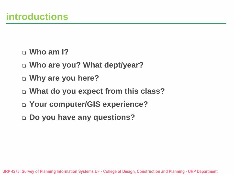
introductions
Who am I?
Who are you? What dept/year?
Why are you here?
What do you expect from this class?
Your computer/GIS experience?
Do you have any questions?
URP 4273: Survey of Planning Information Systems UF - College of Design, Construction and Planning - URP Department
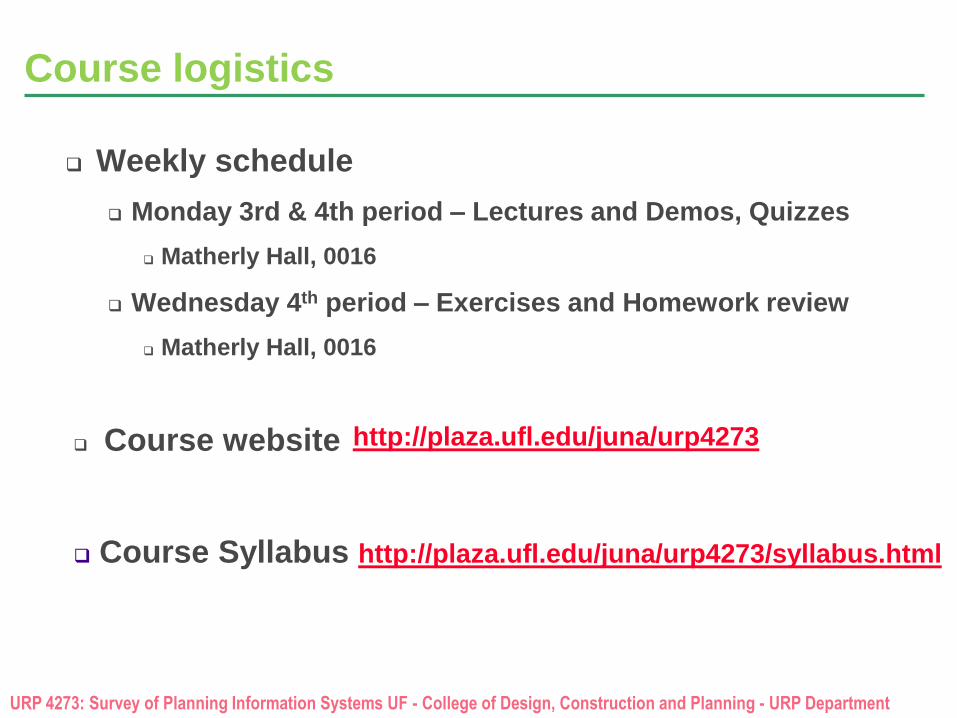
Course logistics
Weekly schedule
Monday 3rd & 4th period – Lectures and Demos, Quizzes
Matherly Hall, 0016
Wednesday 4th period – Exercises and Homework review
Matherly Hall, 0016
Course website
Course Syllabus http://plaza.ufl.edu/juna/urp4273/syllabus.html
http://plaza.ufl.edu/juna/urp4273
URP 4273: Survey of Planning Information Systems UF - College of Design, Construction and Planning - URP Department
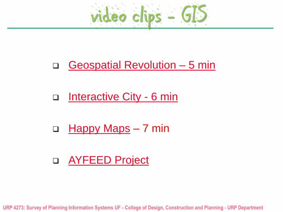
video clips - GIS
Geospatial Revolution – 5 min
Interactive City - 6 min
Happy Maps – 7 min
AYFEED Project
URP 4273: Survey of Planning Information Systems UF - College of Design, Construction and Planning - URP Department
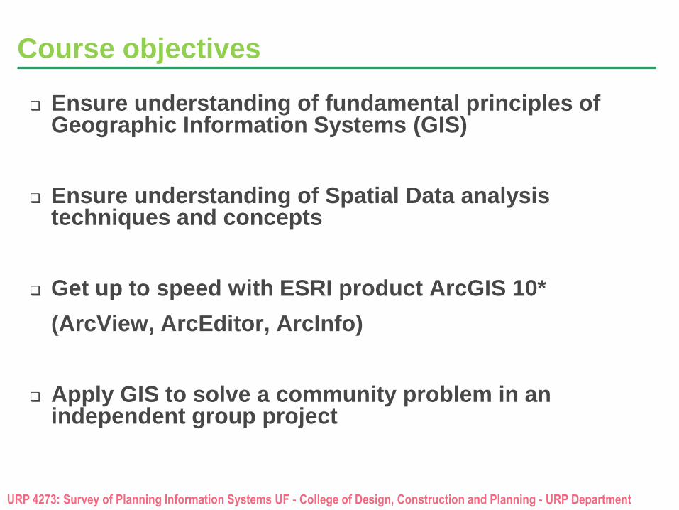
Course objectives
Ensure understanding of fundamental principles of Geographic Information Systems (GIS)
Ensure understanding of Spatial Data analysis techniques and concepts
Get up to speed with ESRI product ArcGIS 10*
(ArcView, ArcEditor, ArcInfo)
Apply GIS to solve a community problem in an independent group project
URP 4273: Survey of Planning Information Systems UF - College of Design, Construction and Planning - URP Department
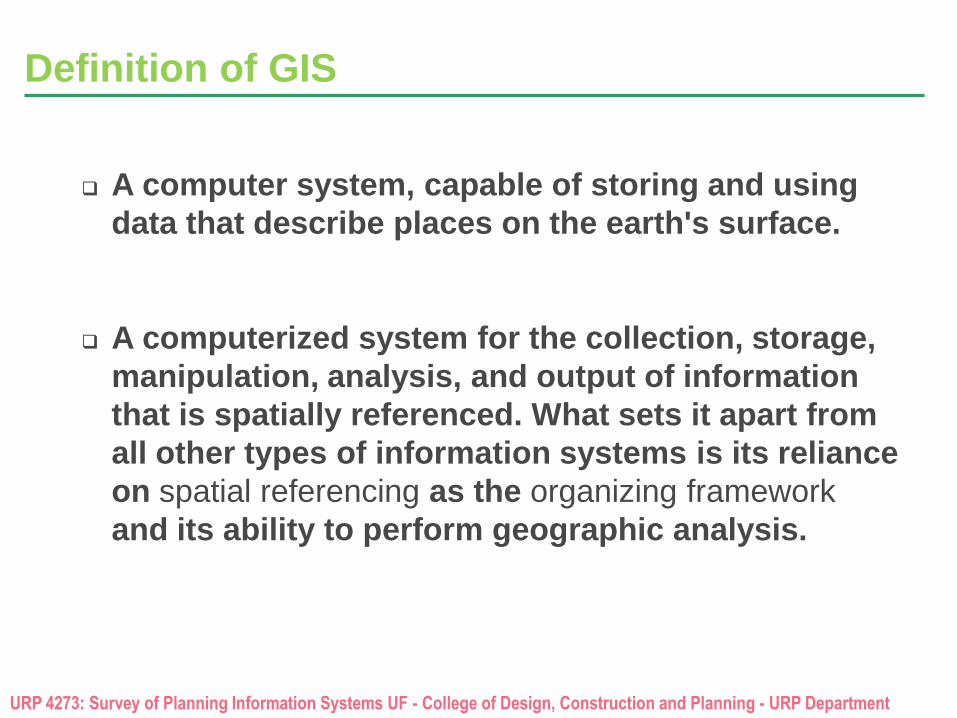
Definition of GIS
A computer system, capable of storing and using
data that describe places on the earth's surface.
A computerized system for the collection, storage,
manipulation, analysis, and output of information
that is spatially referenced. What sets it apart from
all other types of information systems is its reliance
on spatial referencing as the organizing framework
and its ability to perform geographic analysis.
URP 4273: Survey of Planning Information Systems UF - College of Design, Construction and Planning - URP Department
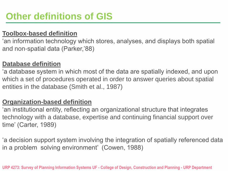
Toolbox-based definition
‘an information technology which stores, analyses, and displays both spatial
and non-spatial data (Parker,’88)
Database definition
‘a database system in which most of the data are spatially indexed, and upon
which a set of procedures operated in order to answer queries about spatial
entities in the database (Smith et al., 1987)
Organization-based definition
‘an institutional entity, reflecting an organizational structure that integrates
technology with a database, expertise and continuing financial support over
time’ (Carter, 1989)
‘a decision support system involving the integration of spatially referenced data
in a problem solving environment’ (Cowen, 1988)
Other definitions of GIS
URP 4273: Survey of Planning Information Systems UF - College of Design, Construction and Planning - URP Department
from data to products - formats
What are Information Systems?
Information Systems and GIS
Why GIS?
URP 4273: Survey of Planning Information Systems UF - College of Design, Construction and Planning - URP Department
from data – to products
What is Data?
What is Information?
What is Evidence?
What is Knowledge?
What are Products?
URP 4273: Survey of Planning Information Systems UF - College of Design, Construction and Planning - URP Department
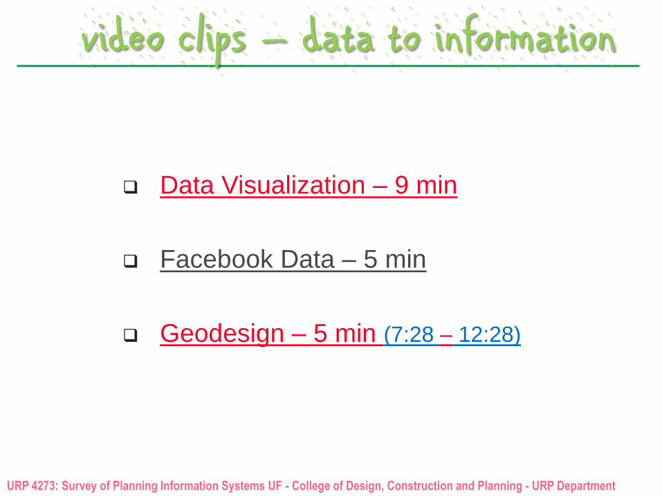
video clips – data to information
Data Visualization – 9 min
Facebook Data – 5 min
Geodesign – 5 min (7:28 – 12:28)
URP 4273: Survey of Planning Information Systems UF - College of Design, Construction and Planning - URP Department
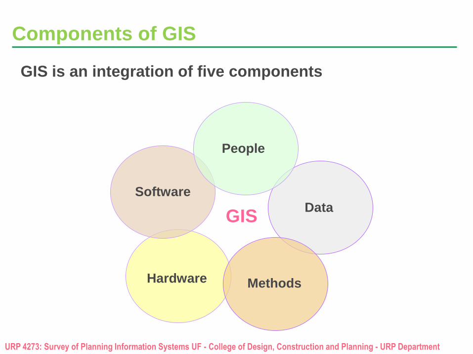
Components of GIS
GIS is an integration of five components
Software
Methods
People
Data
Hardware
GIS
URP 4273: Survey of Planning Information Systems UF - College of Design, Construction and Planning - URP Department
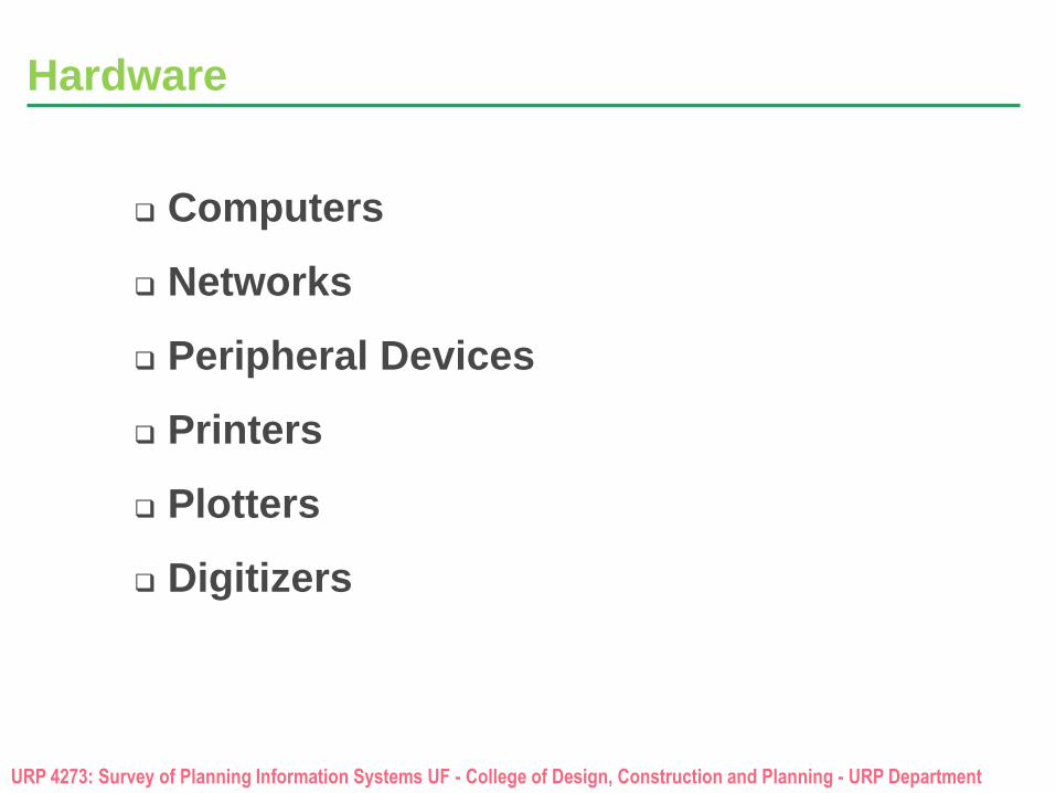
Hardware
Computers
Networks
Peripheral Devices
Printers
Plotters
Digitizers
URP 4273: Survey of Planning Information Systems UF - College of Design, Construction and Planning - URP Department
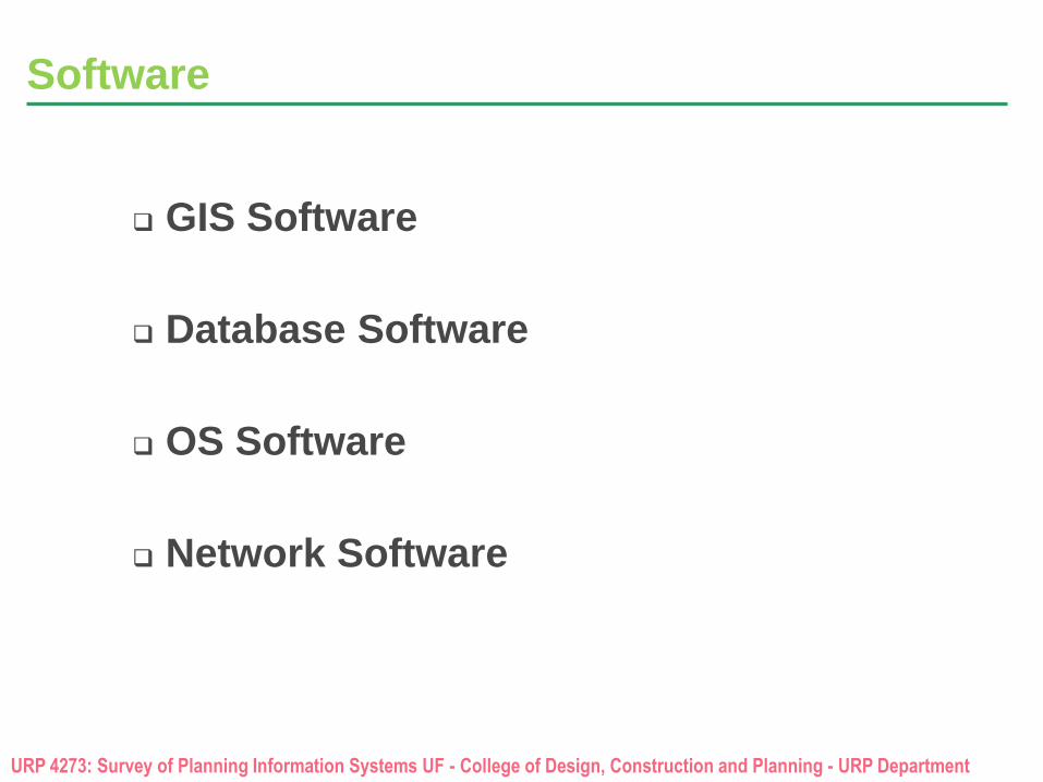
Software
GIS Software
Database Software
OS Software
Network Software
URP 4273: Survey of Planning Information Systems UF - College of Design, Construction and Planning - URP Department
Data
Vector Data
Raster Data
Image Data
Attribute Data
URP 4273: Survey of Planning Information Systems UF - College of Design, Construction and Planning - URP Department
People
GIS Professionals
Managers, Coordinators
Database and Applications Developers
Technicians and Cartographers
Non GIS Professionals
Executives, decision makers of all levels
End users, professionals
General consumers, society
Other – GIS and Non GIS Professionals
Scientists, researchers
URP 4273: Survey of Planning Information Systems UF - College of Design, Construction and Planning - URP Department
Methods
Guidelines
Specifications
Standards
Procedures, protocols
Policies (legal, ethical, technical, etc)
BBC Horizon 2014 – 2015 Documentary – Inside the Dark Web (10:15 – 12:45)
URP 4273: Survey of Planning Information Systems UF - College of Design, Construction and Planning - URP Department
But why GIS?
Answers questions What? Where? Why? What If?
Finds patterns and trends
Solves problems for better decisions
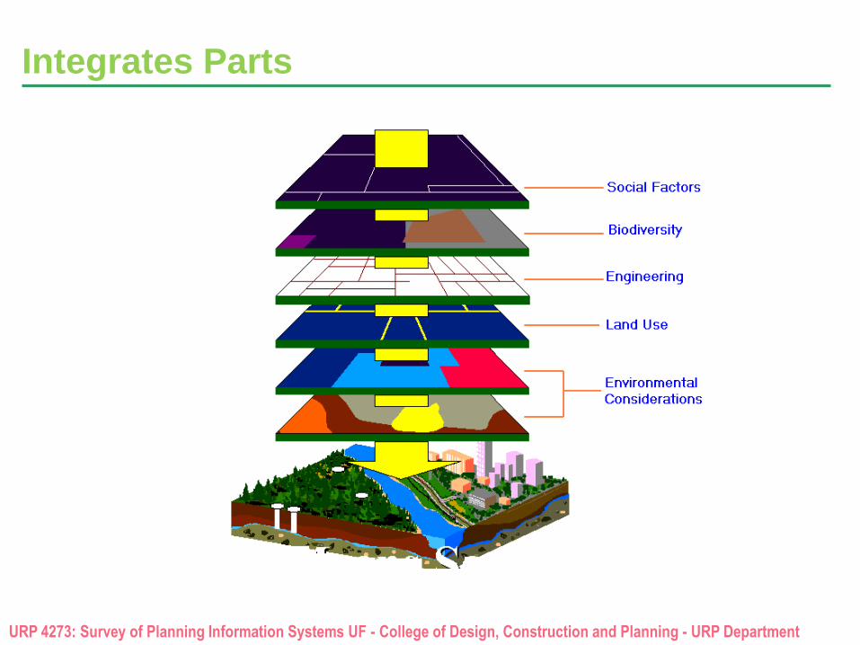
Measures and integrates parts, sees the whole
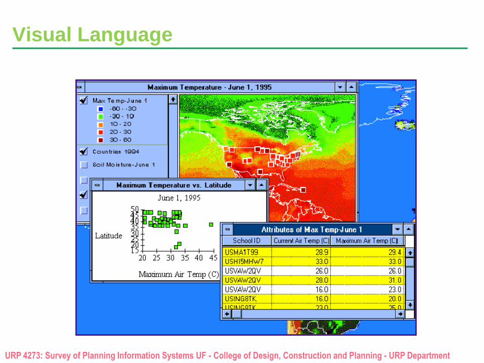
It is a visual language
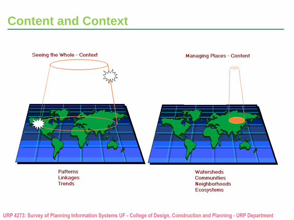
Shows content and context
URP 4273: Survey of Planning Information Systems UF - College of Design, Construction and Planning - URP Department
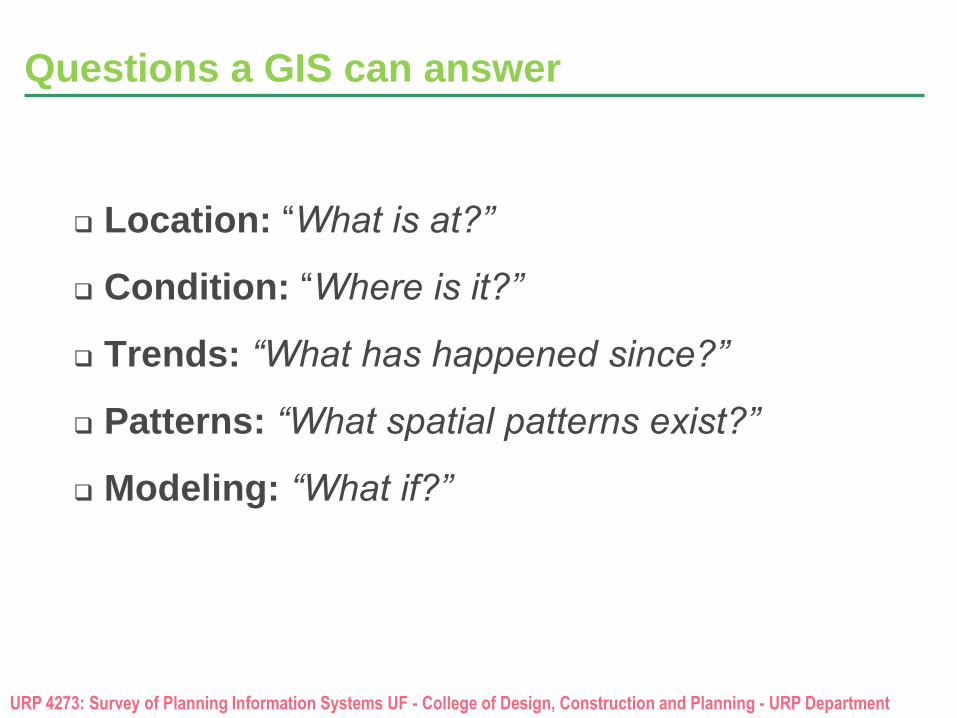
Questions a GIS can answer
Location: “What is at?”
Condition: “Where is it?”
Trends: “What has happened since?”
Patterns: “What spatial patterns exist?”
Modeling: “What if?”
URP 4273: Survey of Planning Information Systems UF - College of Design, Construction and Planning - URP Department
Content and Context
URP 4273: Survey of Planning Information Systems UF - College of Design, Construction and Planning - URP Department
Integrates Parts
URP 4273: Survey of Planning Information Systems UF - College of Design, Construction and Planning - URP Department
Visual Language
URP 4273: Survey of Planning Information Systems UF - College of Design, Construction and Planning - URP Department
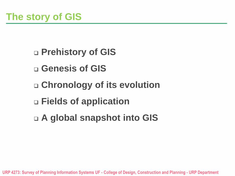
The story of GIS
Prehistory of GIS
Genesis of GIS
Chronology of its evolution
Fields of application
A global snapshot into GIS
URP 4273: Survey of Planning Information Systems UF - College of Design, Construction and Planning - URP Department
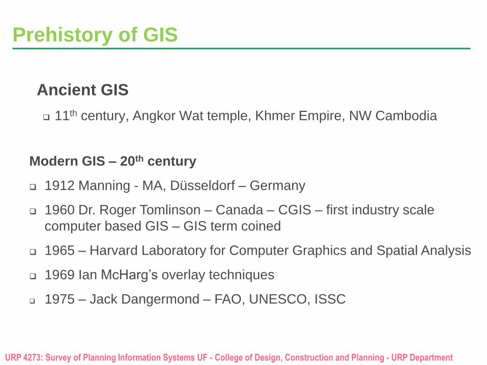
Prehistory of GIS
Ancient GIS
11th century, Angkor Wat temple, Khmer Empire, NW Cambodia
Modern GIS – 20th century
1912 Manning - MA, Düsseldorf – Germany
1960 Dr. Roger Tomlinson – Canada – CGIS – first industry scale
computer based GIS – GIS term coined
1965 – Harvard Laboratory for Computer Graphics and Spatial Analysis
1969 Ian McHarg’s overlay techniques
1975 – Jack Dangermond – FAO, UNESCO, ISSC
URP 4273: Survey of Planning Information Systems UF - College of Design, Construction and Planning - URP Department
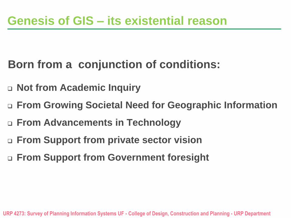
Genesis of GIS – its existential reason
Not from Academic Inquiry
From Growing Societal Need for Geographic Information
From Advancements in Technology
From Support from private sector vision
From Support from Government foresight
Born from a conjunction of conditions:
URP 4273: Survey of Planning Information Systems UF - College of Design, Construction and Planning - URP Department
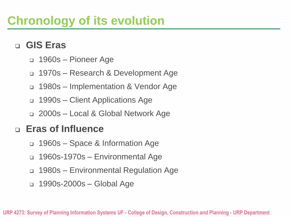
Chronology of its evolution
GIS Eras
1960s – Pioneer Age
1970s – Research & Development Age
1980s – Implementation & Vendor Age
1990s – Client Applications Age
2000s – Local & Global Network Age
Eras of Influence
1960s – Space & Information Age
1960s-1970s – Environmental Age
1980s – Environmental Regulation Age
1990s-2000s – Global Age
URP 4273: Survey of Planning Information Systems UF - College of Design, Construction and Planning - URP Department
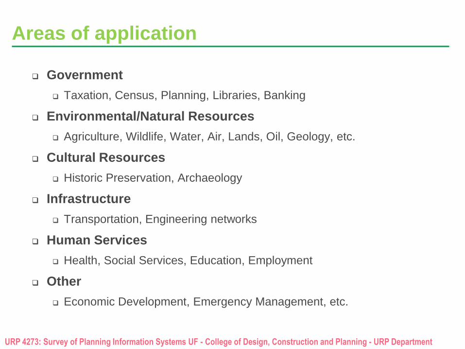
Areas of application
Government
Taxation, Census, Planning, Libraries, Banking
Environmental/Natural Resources
Agriculture, Wildlife, Water, Air, Lands, Oil, Geology, etc.
Cultural Resources
Historic Preservation, Archaeology
Infrastructure
Transportation, Engineering networks
Human Services
Health, Social Services, Education, Employment
Other
Economic Development, Emergency Management, etc.
URP 4273: Survey of Planning Information Systems UF - College of Design, Construction and Planning - URP Department
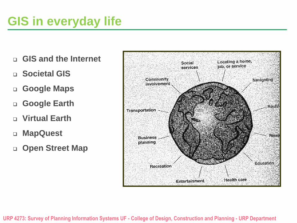
GIS in everyday life
GIS and the Internet
Societal GIS
Google Maps
Google Earth
Virtual Earth
MapQuest
Open Street Map
URP 4273: Survey of Planning Information Systems UF - College of Design, Construction and Planning - URP Department
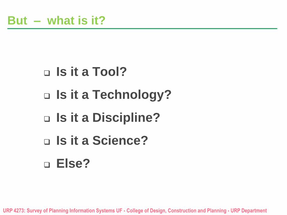
But – what is it?
Is it a Tool?
Is it a Technology?
Is it a Discipline?
Is it a Science?
Else?
URP 4273: Survey of Planning Information Systems UF - College of Design, Construction and Planning - URP Department
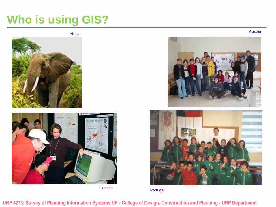
Austria
Who is using GIS? Africa
Portugal Canada
URP 4273: Survey of Planning Information Systems UF - College of Design, Construction and Planning - URP Department
Create a Global Spatial Data Infrastructure
www.gsdi.org
Goal
URP 4273: Survey of Planning Information Systems UF - College of Design, Construction and Planning - URP Department
The GIS community
The GIS community includes not just software and data, but journals, conferences, educational programs, organizations, societies, technical and political forums, and so, so much more.
Some important organizations that currently shape the future of GIS globally
Open Geospatial Consortium: www.opengeospatial.org
Open Source Geospatial Foundation: www.osgeo.org
University Consortium for Geographic Information Science: www.ucgis.org
Global Spatial Data Infrastructures (GSDI) association: www.gsdi.org
Urban and Regional Information Systems Association: www.urisa.org
GIS Certification Institute: www.gisci.org
GISCorps: www.giscorps.org
International Institute for Geo-Information and Earth Science
International Society for Digital Earth
European Commission Joint Research Center
Several Major Agencies of the United Nations
Federal Geographic Data Committee: http://www.fgdc.gov/