Embed Size (px)
Citation preview
Corine Land cover/SOER Launch Event University of Leicester
Earth observation for Statistics
Presented by: Peter Helm, Defra Head of Profession for Statistics Date: 1 July 2015
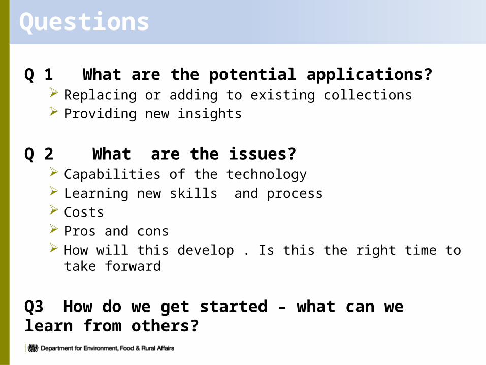
Questions
Q 1 What are the potential applications? Replacing or adding to existing collections Providing new insights
Q 2 What are the issues? Capabilities of the technology Learning new skills and process Costs Pros and cons How will this develop . Is this the right time to take forward
Q3 How do we get started – what can we learn from others?
New opportunities
Copernicus ( with LUCAS)
Improving technology
Wider applications being developed
Less willingness to fill in forms
Need greater speed and detail
Need less cost Big Data
3
The Perfect Storm….
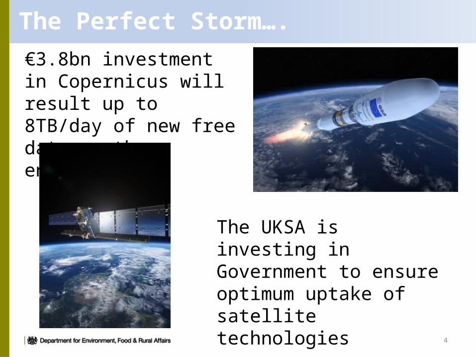
€3.8bn investment in Copernicus will result up to 8TB/day of new free data on the environment
4
The UKSA is investing in Government to ensure optimum uptake of satellite technologies
5
UK access to Copernicus data & products: • Airbus Farnborough has won the European Space Agency contract to process , archive and disseminate data from the Copernicus satellites Sentinels
1 and 2.• Sentinel data/products from Airbus
Farnborough will be disseminated via two routes: STFC/RAL Space (the Science
and Technology Facilities Council/Rutherford Appleton Laboratory Space Department)
Space Applications Catapult
Examples
•
Land water air
• 7
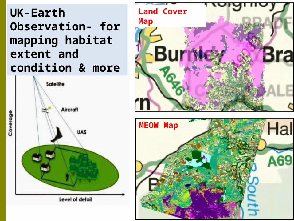
Land Cover Map
MEOW Map
UK-Earth Observation- for mapping habitat extent and condition & more
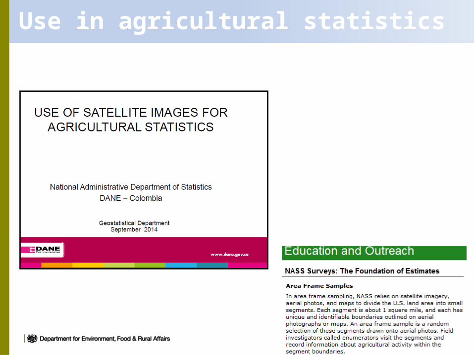
Use in agricultural statistics
9
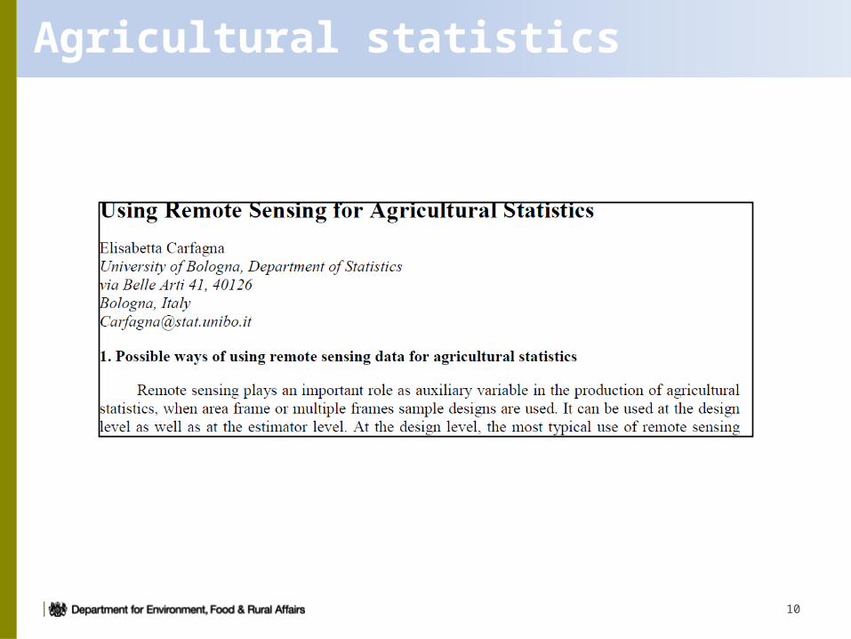
Agricultural statistics
10
Satellite Monitoring – EU Fisheries
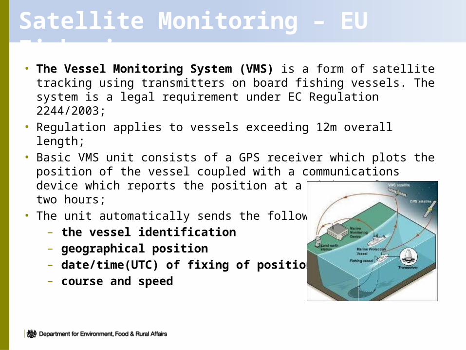
• The Vessel Monitoring System (VMS) is a form of satellite tracking using transmitters on board fishing vessels. The system is a legal requirement under EC Regulation 2244/2003;
• Regulation applies to vessels exceeding 12m overall length;• Basic VMS unit consists of a GPS receiver which plots the position of the
vessel coupled with a communications device which reports the position at a minimum of every two hours;
• The unit automatically sends the following data :– the vessel identification– geographical position– date/time(UTC) of fixing of position– course and speed
12
13
And next…..
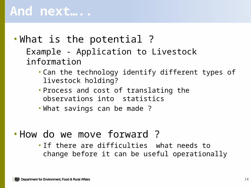
• What is the potential ? Example - Application to Livestock information
• Can the technology identify different types of livestock holding? • Process and cost of translating the observations into statistics
• What savings can be made ?
• How do we move forward ?• If there are difficulties what needs to change before it can be
useful operationally
14


![SoER 2005 - POCKET BOOK [IE 2006]](https://img.pdfslide.us/doc/110x75/577ce08b1a28ab9e78b38e7e/soer-2005-pocket-book-ie-2006.jpg)