Embed Size (px)
Citation preview
Connected Vehicle Environment Concept of Operations
1
2
Acknowledgement of SupportThis material is based upon work supported by the U.S. Department of Transportation under Agreement No. DTFH6116H00013.
DisclaimerAny opinions, findings, and conclusions or recommendations expressed in this publication are those of the Author(s) and do not necessarily reflect the view of the U.S. Department of Transportation.
CONNECTED VEHICLE ENVIRONMENT CONCEPT OF OPERATIONS

3
MANDY BISHOP,Program Manager, City of Columbus
SPEAKERS
RYAN BOLLO, Project Manager,City of Columbus
TOM TIMCHO, Senior Systems Engineer,

4
PURPOSE OF THIS WEBINAR• Share concept development activities from Smart Columbus with connected vehicle technology stakeholders
WEBINAR CONTENT• Smart City Challenge Overview
• Smart Columbus Program Overview
• Connected Vehicle Environment Project Overview
• Smart Columbus Connected Vehicle Environment Project Concept of Operations
• Stakeholder Q&A
• How to Stay Connected
WEBINAR PROTOCOL• All participant lines have been muted during the webinar in order to reduce background noise
• Questions are welcome via chatbox during the Q&A Section
• The webinar recording and presentation materials will be posted on the Smart Columbus website
TODAY’S AGENDA01 |
02 |
03 |
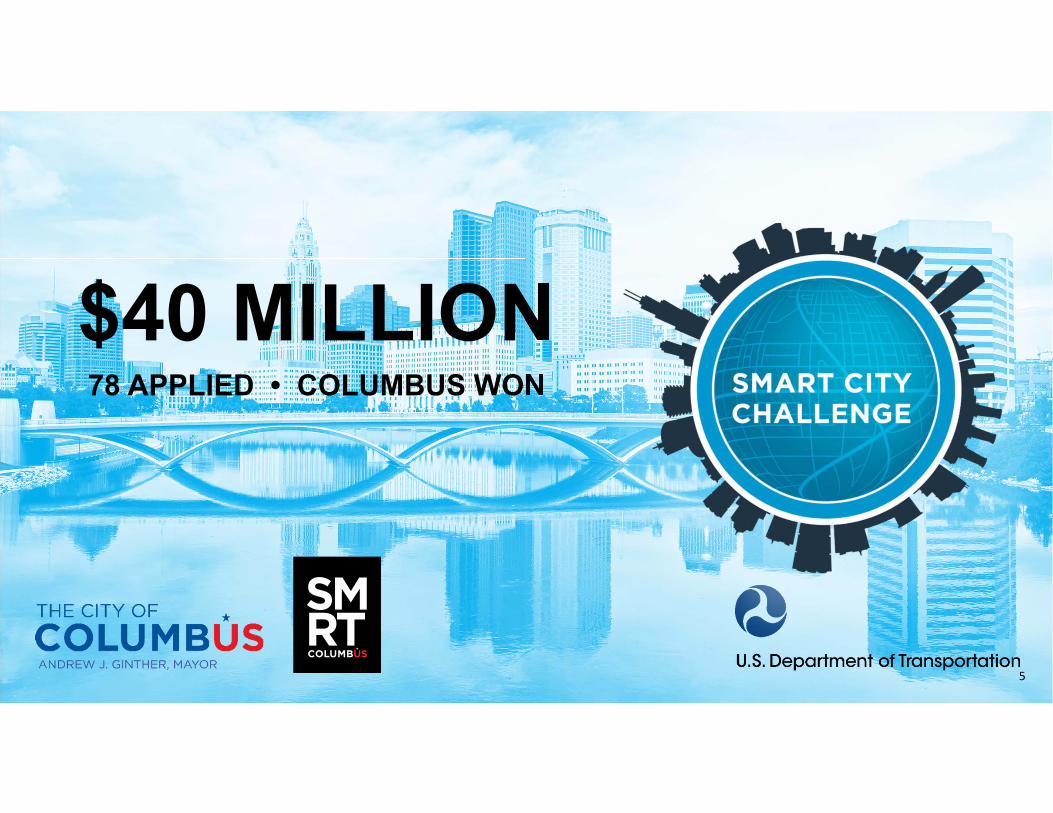
$40 MILLION78 APPLIED • COLUMBUS WON
5
6
SMARTCOLUMBUS OVERVIEW

COLUMBUS
7

COLUMBUS
8
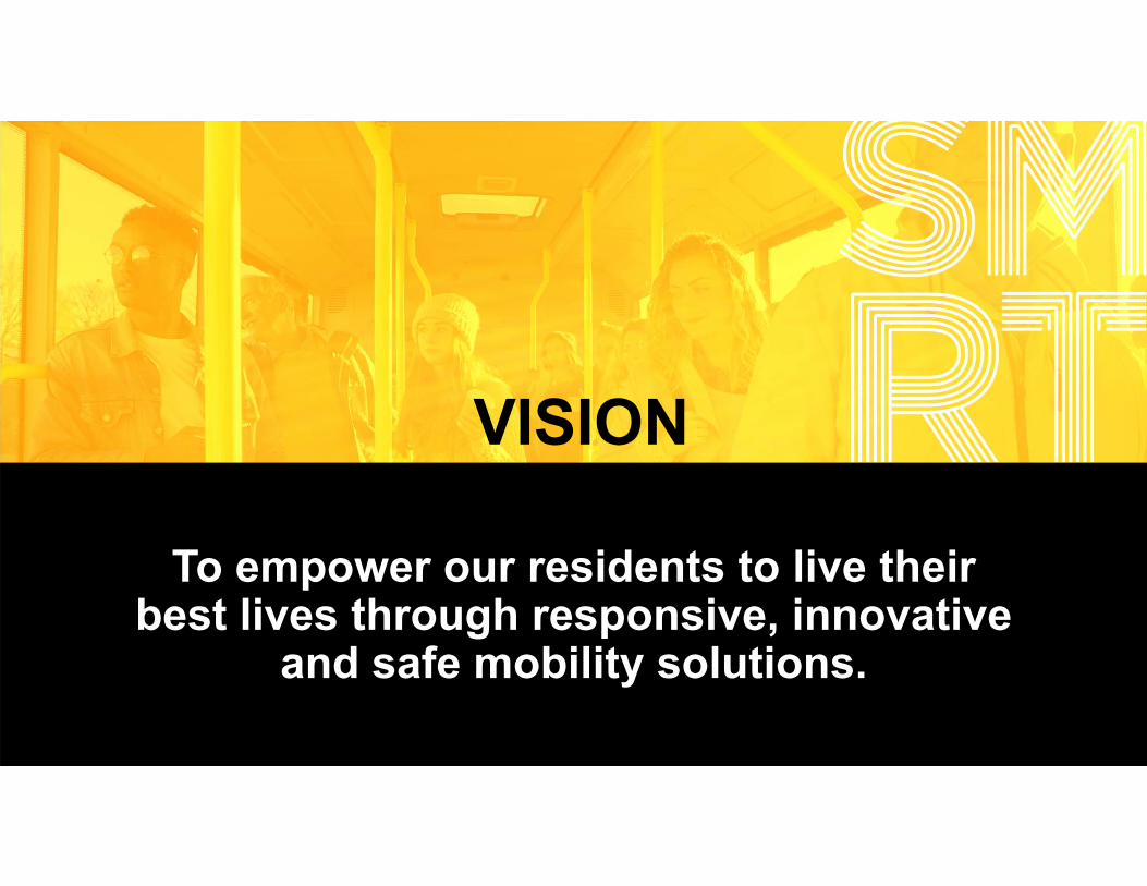
To empower our residents to live their best lives through responsive, innovative
and safe mobility solutions.
VISION
9

MISSIONTo demonstrate how an intelligent
transportation system and equitable access to transportation can have positive impacts
on every day challenges faced by cities. 10

OUTCOMES
11

12
WHERE WE ARE GOING
PROJECT PHASES AND TIMELINE

13
USDOT PORTFOLIO

14

OPERATING SYSTEM DETAILS
Data Environment
ESSENTIALS OF THE OPERATING SYSTEM
• Data ingestion• Streaming data• Data tagging• Data aggregation
Security• Data encrypted in transit & at rest• ID Access Management (IDAM)
Scalable Capacity• Built with open source/open architecture• Elasticity with AWS Cloud Services• Microservices
Data Lake• Fast and slow storage capacity
• Only store what we must; leave data at native source (for security & storage mgmt.)
Data Research Environment• Social community• Data discovery• Visualization• User dashboards
Shared Services• Application hosting• Function sharing through
microservices (real‐time ML, route optimizer)
Analytics• Core analysis tools• Machine learning• Artificial intelligence
15

CONNECTED VEHICLE ENVIRONMENT
16
17
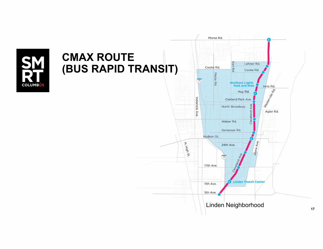
CMAX ROUTE(BUS RAPID TRANSIT)
Linden Neighborhood

18
DEPLOYMENT AREA
Photo sources: Rickenbacker International Airport and Norfolk Southern Intermodal Yard
19
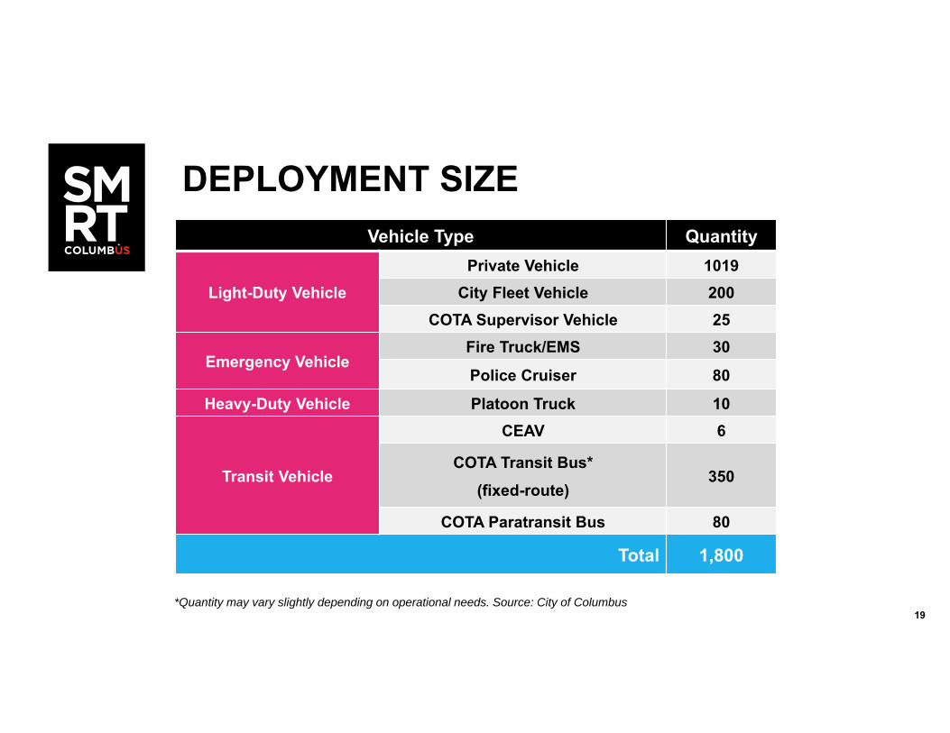
DEPLOYMENT SIZEVehicle Type Quantity
Light-Duty VehiclePrivate Vehicle 1019
City Fleet Vehicle 200COTA Supervisor Vehicle 25
Emergency VehicleFire Truck/EMS 30
Police Cruiser 80
Heavy-Duty Vehicle Platoon Truck 10
Transit Vehicle
CEAV 6
COTA Transit Bus*(fixed-route)
350
COTA Paratransit Bus 80
Total 1,800
*Quantity may vary slightly depending on operational needs. Source: City of Columbus
2020
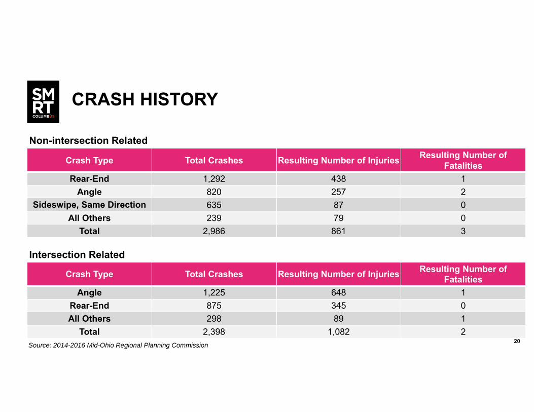
CRASH HISTORY
Crash Type Total Crashes Resulting Number of Injuries Resulting Number of Fatalities
Rear-End 1,292 438 1Angle 820 257 2
Sideswipe, Same Direction 635 87 0All Others 239 79 0
Total 2,986 861 3
Crash Type Total Crashes Resulting Number of Injuries Resulting Number of Fatalities
Angle 1,225 648 1Rear-End 875 345 0All Others 298 89 1
Total 2,398 1,082 2
Non-intersection Related
Intersection Related
Source: 2014-2016 Mid-Ohio Regional Planning Commission

2121
VEHICLE HIGH-CRASH LOCATIONS
Vehicle High-Crash Locations (100 total)2017 Rank
2016 Rank Location
3 8 Cleveland Avenue and Innis Road
4 18 Karl Road at Morse Road
8 22 Morse Road at Westerville Road
10 40 Cleveland Avenue at Hudson Street
11 21 Cleveland Avenue at Oakland Park
18 4 Cleveland Avenue at Morse Road
40 7Morse Road at Northtowne Boulevard /
Walford Street
41 35 Morse Road at Sunbury Road
44 29 High Street at Fifth Avenue
Vehicle High-Crash Locations (100 total)2017 Rank
2016 Rank Location
57 – Cleveland Avenue at Eleventh Avenue
68 59 Morse Road at Stelzer Road
76 79 Morse Road at Sinclair Road
88 82 Cleveland Avenue at Weber Road
94 – High Street at North Broadway
97 80 Henderson Road at High Street
– 45 Cleveland Avenue at Fifth Avenue
– 77 Morse Road at Tamarack Boulevard
– 95 Seventh Avenue at High Street

22
VEHICLE HIGH-CRASH LOCATIONS

23
DEPLOYMENT CONCEPT OVERVIEW

24
• Basic Connected Vehicle elements• Vehicle On-Board Units (OBUs)• Roadside Units (RSUs)• Wireless communication technologies• Fiber optic network• Connected Vehicle Systems Engineering Architecture (CVRIA)• Data management• Security
WHAT MAKES ALL THIS WORK?

25
• City of Columbus Traffic Management Division
• Existing traffic signal control system
• Participant cooperation• Local residents (private vehicle operators)• Central Ohio Transit Authority (COTA)• Department of Public Service vehicles• Department of Public Safety (Fire/EMS/Police)
WHO MAKES ALL THIS WORK?

26
CONNECTED VEHICLE OBJECTIVES01 | Improve vehicle operator safety
02 | Improve intersection safety
03 | Reduce speeds in school zones
04 | Improve reliability of transit vehicle schedule adherence
05 | Improve emergency response times
06 | Reduce truck wait (delay) time at signalized intersectionsIncrease number of truck turns a day
07 | Improve traffic management capability
08 | Improve transit management capability

2727
EXISTING CHALLENGE: VEHICLE OPERATOR SAFETY
TARGET AREAS Linden
USERS Light Duty Vehicle Operator
PERFORMANCE MEASURES Leverage prior research
2828
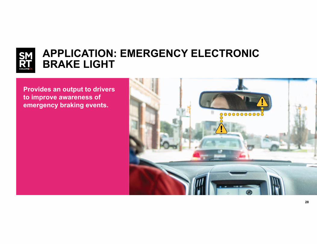
APPLICATION: EMERGENCY ELECTRONIC BRAKE LIGHT
Provides an output to drivers to improve awareness of emergency braking events.

2929
APPLICATION: FORWARD COLLISION WARNING
Advises vehicle operators to take specific action in order to avoid or mitigate rear-end vehicle collisions in the forward path of travel.
3030
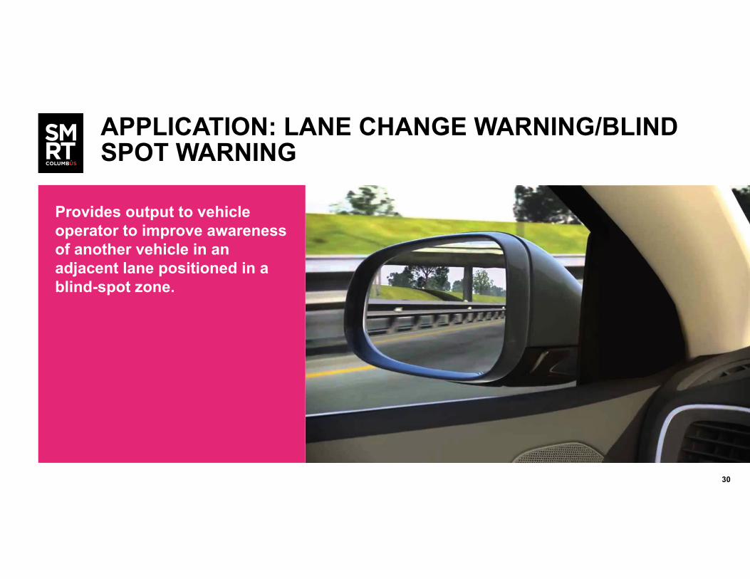
APPLICATION: LANE CHANGE WARNING/BLIND SPOT WARNING
Provides output to vehicle operator to improve awareness of another vehicle in an adjacent lane positioned in a blind-spot zone.

3131
EXISTING CHALLENGE: INTERSECTION SAFETY
TARGET AREAS Primarily High Street, Morse Road, and Cleveland Avenue corridors, but enabled for all CV Environment intersections
USERS Light duty vehicle operator
PERFORMANCE MEASURES Performance Measures: Driver behavior change in the corridor (reduced crash rate at intersections, reduced rate of vehicles running red signal)
3232
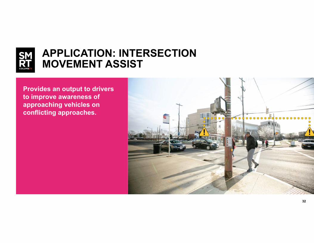
APPLICATION: INTERSECTION MOVEMENT ASSIST
Provides an output to drivers to improve awareness of approaching vehicles on conflicting approaches.
3333
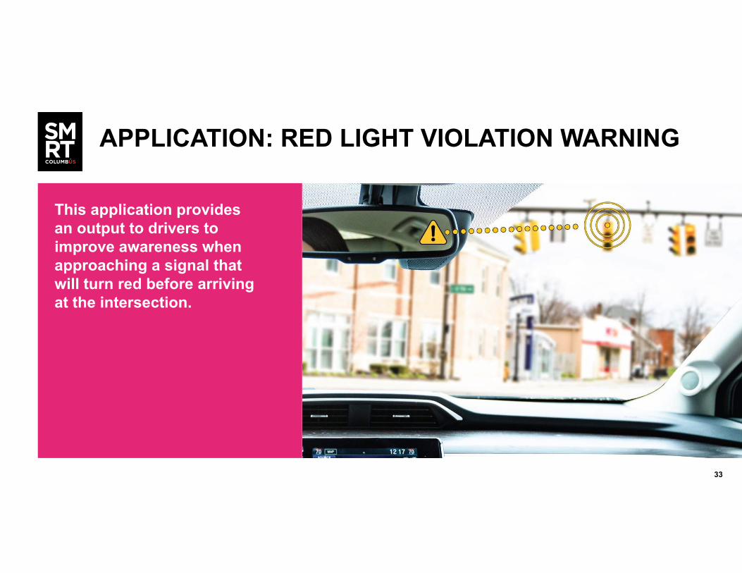
APPLICATION: RED LIGHT VIOLATION WARNING
This application provides an output to drivers to improve awareness when approaching a signal that will turn red before arriving at the intersection.

3434
EXISTING CHALLENGE: REDUCE SPEED IN SCHOOL ZONES
TARGET AREASLinden STEM Academy (Cleveland Avenue), Clintonville Elementary (High Street), Our Lady of Peace School (High Street)
USERS Light duty vehicle operator, traffic manager, pedestrian
PERFORMANCE MEASURES Driver behavior change in the corridor (speed limit adherence during active school zone)
0–20 mph 20+ mph
18% 82%
N=18042
3535
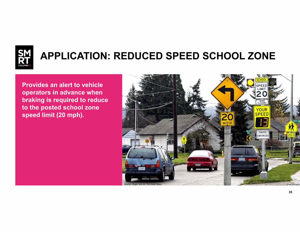
APPLICATION: REDUCED SPEED SCHOOL ZONE
Provides an alert to vehicle operators in advance when braking is required to reduce to the posted school zone speed limit (20 mph).
Source: Roger Werth, The Daily News

3636
EXISTING CHALLENGE: TRANSIT VEHICLE SCHEDULE ADHERENCE
TARGET AREAS Cleveland Ave. Corridor (CMAX route, see map)
USERS Transit vehicle operator, transit manager
PERFORMANCE MEASURES On-time performance, running time, headway reliability
3737
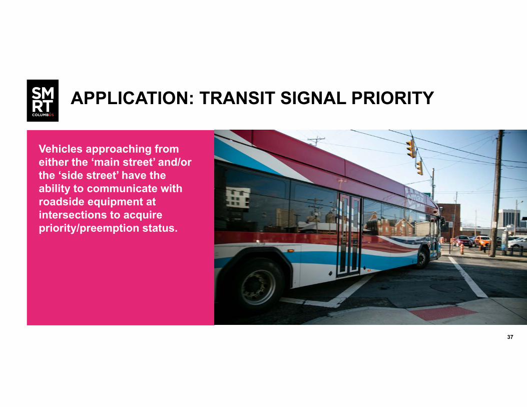
APPLICATION: TRANSIT SIGNAL PRIORITY
Vehicles approaching from either the ‘main street’ and/or the ‘side street’ have the ability to communicate with roadside equipment at intersections to acquire priority/preemption status.
3838
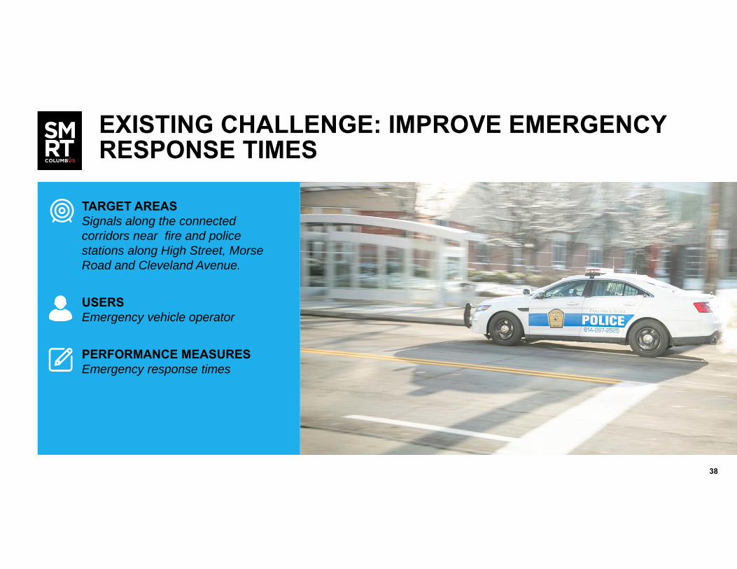
EXISTING CHALLENGE: IMPROVE EMERGENCY RESPONSE TIMES
TARGET AREAS Signals along the connected corridors near fire and police stations along High Street, Morse Road and Cleveland Avenue.
USERS Emergency vehicle operator
PERFORMANCE MEASURES Emergency response times

3939
APPLICATION: EMERGENCY VEHICLE PREEMPTION
This application allows an emergency vehicle (Police/Fire/EMS) to receive signal preemption when approaching equipped intersections.
4040
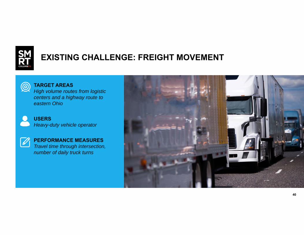
EXISTING CHALLENGE: FREIGHT MOVEMENT
TARGET AREAS High volume routes from logistic centers and a highway route to eastern Ohio
USERS Heavy-duty vehicle operator
PERFORMANCE MEASURES Travel time through intersection, number of daily truck turns
4141
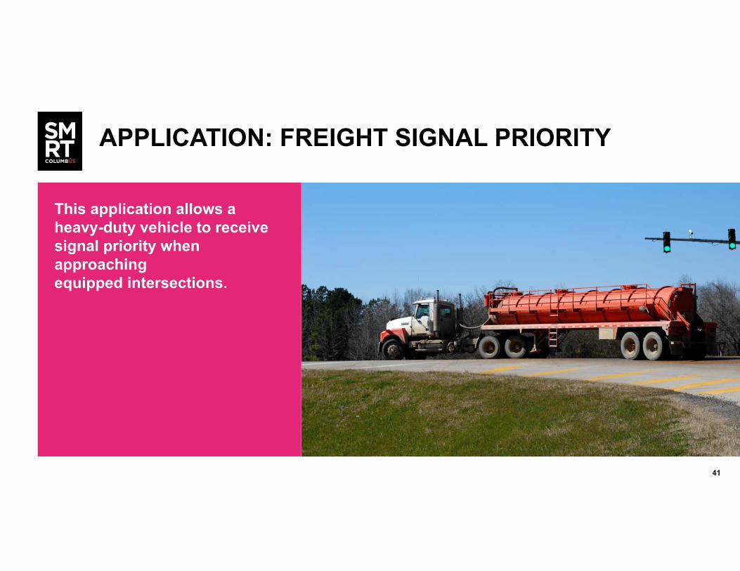
APPLICATION: FREIGHT SIGNAL PRIORITY
This application allows a heavy-duty vehicle to receive signal priority when approaching equipped intersections.
4242
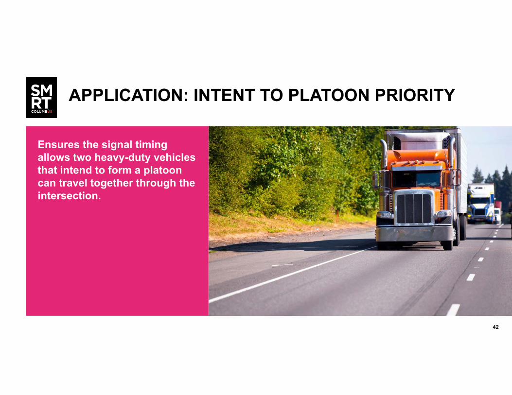
APPLICATION: INTENT TO PLATOON PRIORITY
Ensures the signal timing allows two heavy-duty vehicles that intend to form a platoon can travel together through the intersection.

4343
EXISTING CHALLENGE: TRAFFIC MANAGEMENT DATA
TARGET AREAS All corridors
USERS Traffic manager
PERFORMANCE MEASURES Under development
4444
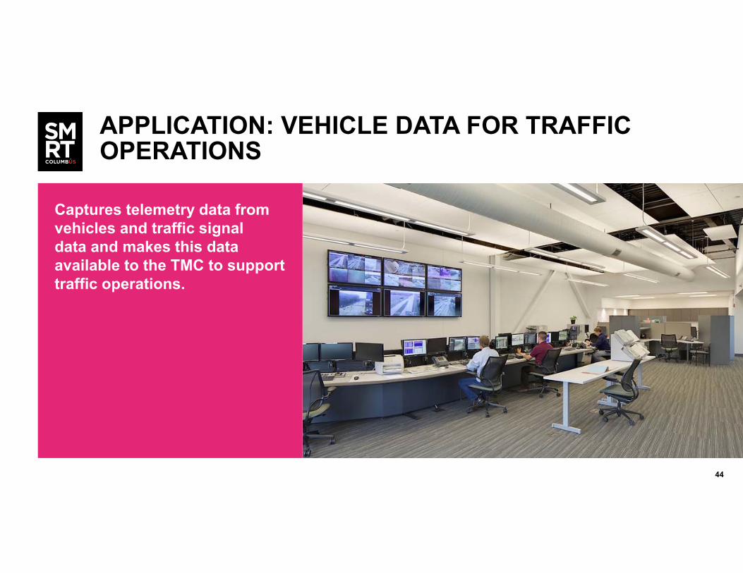
APPLICATION: VEHICLE DATA FOR TRAFFIC OPERATIONS
Captures telemetry data from vehicles and traffic signal data and makes this data available to the TMC to support traffic operations.

4545
EXISTING CHALLENGE: TRANSIT MANAGEMENT DATA
TARGET AREAS All transit routes
USERS Transit manager
PERFORMANCE MEASURES Under development

4646
APPLICATION: TRANSIT VEHICLE INTERACTION EVENT RECORDING
Enables COTA management staff to capture output (not issued to the transit vehicle operator) from applications so that it can assess the potential interactions and benefits that transit vehicle operators may receive should COTA decide to implement an UI on its transit vehicles.

47
STAKEHOLDER ENGAGEMENT SUMMARY
48
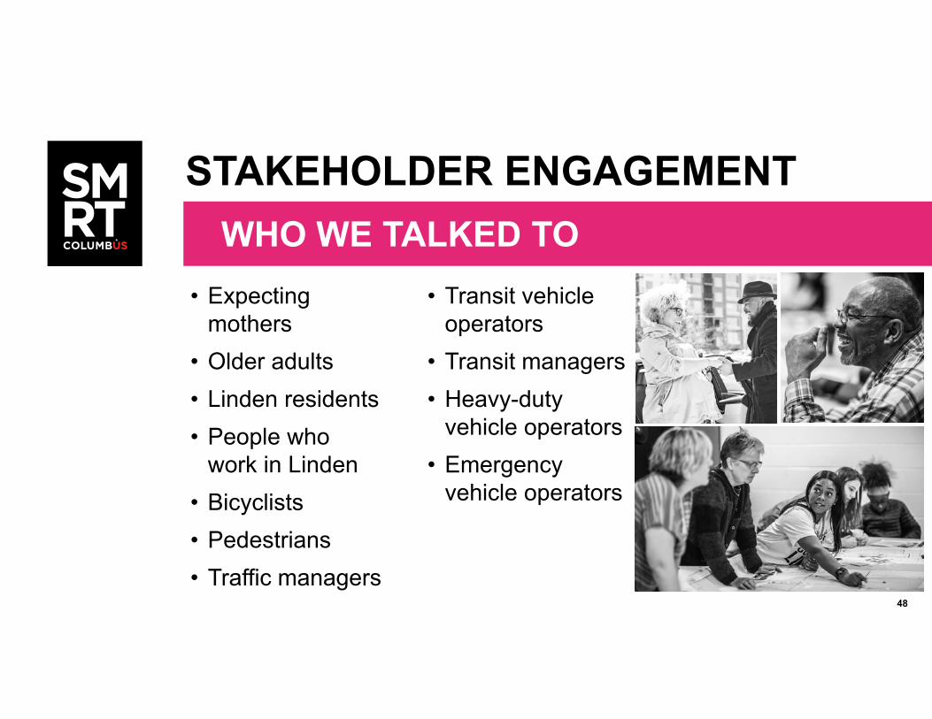
• Expecting mothers
• Older adults• Linden residents• People who
work in Linden• Bicyclists• Pedestrians• Traffic managers
• Transit vehicle operators
• Transit managers• Heavy-duty
vehicle operators• Emergency
vehicle operators
STAKEHOLDER ENGAGEMENTWHO WE TALKED TO
49
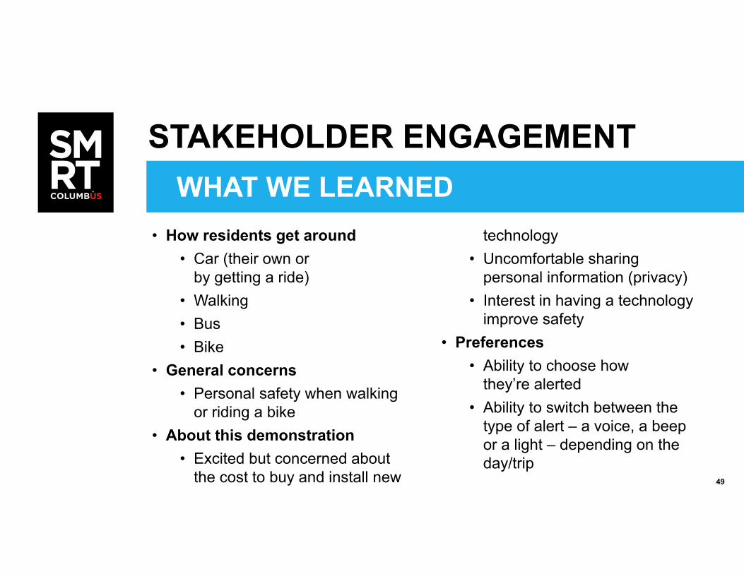
WHAT WE LEARNED• How residents get around
• Car (their own or by getting a ride)
• Walking• Bus• Bike
• General concerns• Personal safety when walking
or riding a bike• About this demonstration
• Excited but concerned about the cost to buy and install new
technology• Uncomfortable sharing
personal information (privacy)• Interest in having a technology
improve safety• Preferences
• Ability to choose how they’re alerted
• Ability to switch between the type of alert – a voice, a beep or a light – depending on the day/trip
STAKEHOLDER ENGAGEMENT

50
WHAT WE LEARNED• Stakeholder Engagement: be user focused
from beginning
• Size and scope of project: be prepared to revisit and adjust if needed
• Vendor solutions: develop procurement strategy after needs established
LESSONS LEARNED

51
System Requirements Specification June 2018 – December 2018
Interface Control Document December 2018 – April 2019
System Design February 2019 – August 2019
Test PlanMay 2019 – September 2019
Installation Development June 2018 – March 2019
Deploy / Test on roadside and in vehicles June 2019 – August 2020
CV Environment Live July 2020
WHERE WE GO FROM HERE
Dates listed are for final version of document (not 508-compliant or refresh)
NEXT STEPS

52
USDOT CONNECTED VEHICLE ENVIRONMENT PROGRAM INQUIRES:Kate Hartman, Program [email protected]
SMART COLUMBUS INQUIRES:Alyssa Chenault, Communications Project [email protected]
Upcoming Smart Columbus Webinars:
• Essentials of the operating system (SCOS)
• Multimodal Trip Planning Assistance/Common Payment System
• Overview of Mobility Assistance for People with Cognitive Disabilities
• Event Parking Management
• Smart Mobility Hubs
• Prenatal Trip Assistance
• Overview of Emerging Technologies: Connected Electric Autonomous Vehicles and Truck Platooning
Webinar recording and materials will be available at itsa.org and smart.columbus.gov
HOW TO STAY CONNECTED

53
SIGN UP FOR OUR E-NEWSLETTERContact:[email protected]
Columbus.gov/smartcolumbus
@SmartCbus
LEARN MORE

54
QUESTIONS?
This material is based upon work supported by the U.S. Department of Transportation under Agreement No. DTFH6116H00013.
Any opinions, findings, and conclusions or recommendations expressed in this publication are those of the Author(s) and do not necessarily
reflect the view of the U.S. Department of Transportation.
55