Embed Size (px)
Citation preview

Colorization Tool for Isis
Sponsor: Jeff AndersonUSGS Astrogeology, Computer Scientist
Presented by Deborah Lee [email protected]

What we do: Isis Software
Image processing and cartography software Support mission teams, scientists, researchers,
cartographers working with planetary image data from missions like Mars Recon Orbiter, Mars rovers, Cassini-Huygens, etc.

What is Isis
Collection of applications to ingest and process planetary image data
Viewer (qview) to view image data and assist with setting up parameters to processing apps

Color-coding
Assign shades of grey to color scheme Gradient or discrete
Typically used to assign colors to elevations in topography
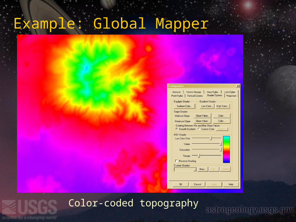
Example: Global Mapper
Color-coded topography

Example: Global Mapper
Color-code with hillshading

Custom discrete color-coding

Example: Global Mapper
Custom gradient color-coding

Photoshop
Gradient map tool
Gradient editor

Example: UltraFractal

Example: Apophysis
Create gradient from an image
Randomly generate gradientsSave and open gradients
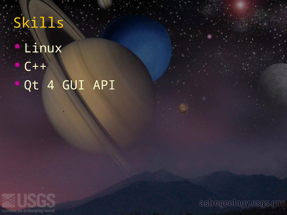
Skills
Linux C++ Qt 4 GUI API

You’ll need… we’ll help
Isis development environment SuSE 10.1 Pro Linux with stuff installed Isis
API and Docs: isis.astrogeology.usgs.gov

Deliverables
Add-on tool for Isis’ qview image viewer Interactively create color-coding scheme Preview color-scheme applied to current image Save gradient (we’ll tell you the format)
New application to apply saved gradient to an image


![storageccec.blob.core.usgovcloudapi.net · AM [Exhibit A (Stand for Children Client Spot Listing)]; We further note that Dan Soltesz, Stand for Children's treasurer, spoke with Stephanie](https://img.pdfslide.us/doc/110x75/5ed0118dad600a689b43f9a5/am-exhibit-a-stand-for-children-client-spot-listing-we-further-note-that-dan.jpg)