Embed Size (px)
Citation preview
Collecting Digital Content Going Forward: Lessons Learned and New Initiatives
NC Geospatial Data Archiving Project (NCGDAP)
North Carolina State University LibrariesNorth Carolina Center for Geographic Information & Analysis
Presented by:Steve MorrisHead of Digital Library InitiativesNCSU Libraries
NDIIPP Partners Meeting July 10, 2008
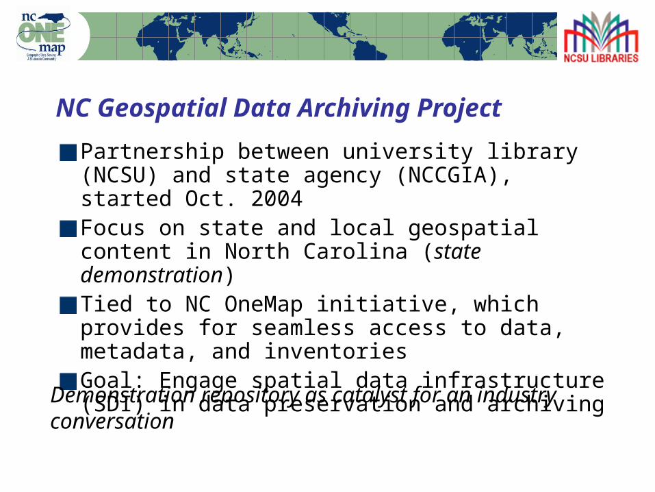
NC Geospatial Data Archiving Project
Partnership between university library (NCSU) and state agency (NCCGIA), started Oct. 2004Focus on state and local geospatial content in North Carolina (state demonstration)Tied to NC OneMap initiative, which provides for seamless access to data, metadata, and inventoriesGoal: Engage spatial data infrastructure (SDI) in data preservation and archiving
Demonstration repository as catalyst for an industry conversation
Who?
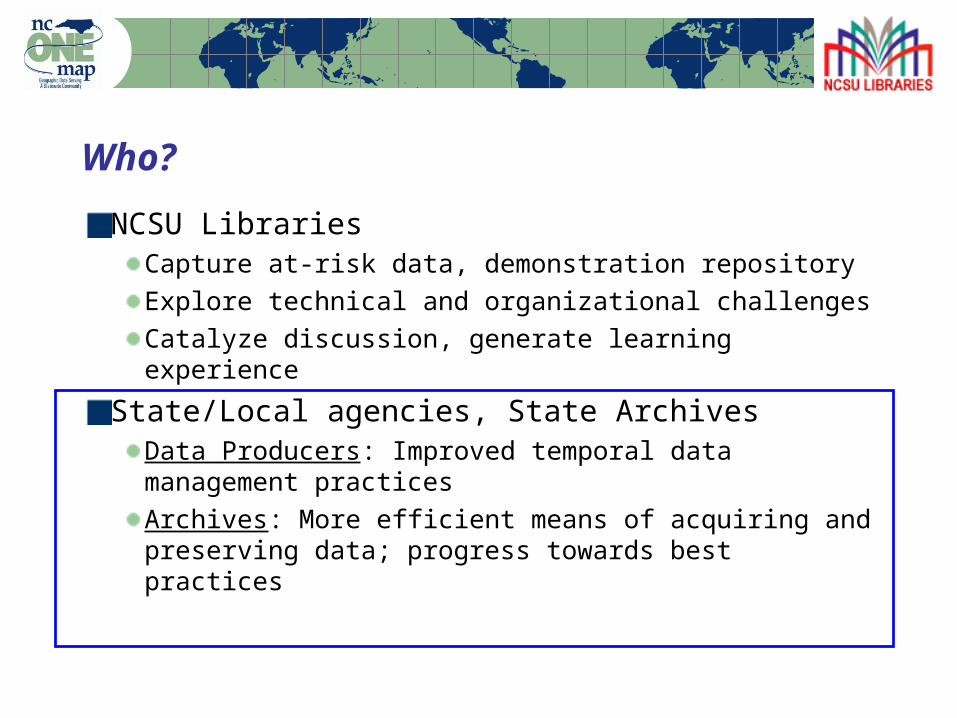
Who?
NCSU Libraries Capture at-risk data, demonstration repositoryExplore technical and organizational challengesCatalyze discussion, generate learning experience
State/Local agencies, State ArchivesData Producers: Improved temporal data management practicesArchives: More efficient means of acquiring and preserving data; progress towards best practices
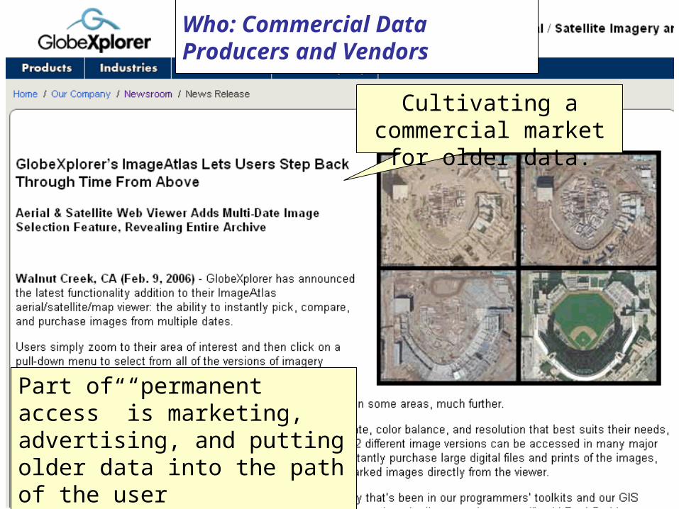
Project Status Cultivating a commercial market for older data.
Part of “permanent access” is marketing, advertising, and putting older data into the path of the user
Who: Commercial Data Producers and Vendors
What?
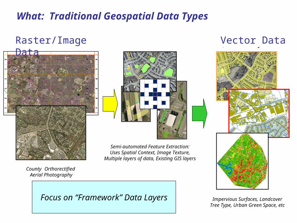
What: Traditional Geospatial Data Types
1.) GIS-ready Image Data
County Orthorectified Aerial Photography
3.) GIS Layers
Impervious Surfaces, LandcoverTree Type, Urban Green Space, etc
2.) Feature Extraction
Semi-automated Feature Extraction:Uses Spatial Context, Image Texture,
Multiple layers of data, Existing GIS layers
Raster/Image Data Vector Data
Focus on “Framework” Data Layers
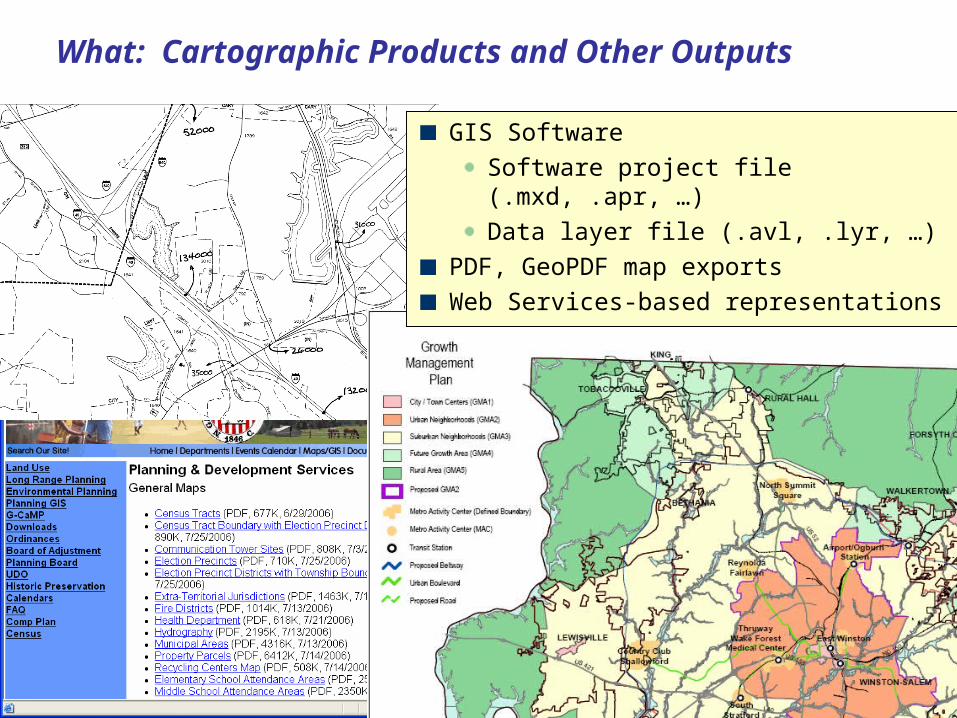
What: Cartographic Products and Other Outputs
GIS Software
Software project file (.mxd, .apr, …)
Data layer file (.avl, .lyr, …)
PDF, GeoPDF map exports
Web Services-based representations
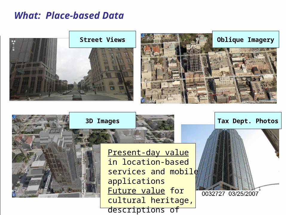
What: Place-based Data
Street Views Oblique Imagery
3D Images
Present-day value in location-based services and mobile applicationsFuture value for cultural heritage, descriptions of places
Tax Dept. Photos
Why?
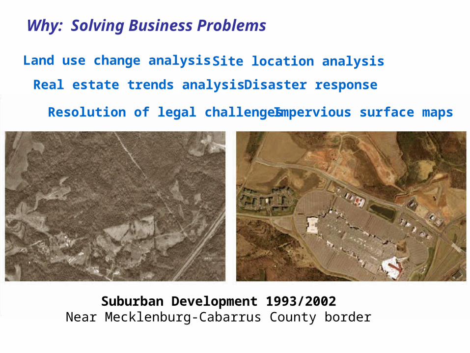
Why: Solving Business Problems
Suburban Development 1993/2002Near Mecklenburg-Cabarrus County border
Land use change analysis
Real estate trends analysis
Site location analysis
Disaster response
Resolution of legal challenges Impervious surface maps

Why: Cultural Heritage and Emotional Connection
Pronounced local agency interestin archiving, digitizing, and geo-referencing older analog products
When? (and How Often?)
When: Frequency of Capture SurveysHow often should continually changing vector datasets be captured?Tap into data custodian understanding of production patterns and usesTap into local innovationLearn about local business drivers for data archivingSurvey subjects:
2006 and 2008 surveys of NC cities and counties2008 survey of archival practice in state agencies in NCPlanned survey of data users in NC
When: Frequency of Capture Surveys
2006 survey did more to socialize the problem of digital preservation within the data custodian community than any other project effort.Four points of engagement in survey process:
Survey formulation in consultation with advisory bodiesAnnouncement of surveySurvey completion by data custodians/producersSurvey reports
Where?
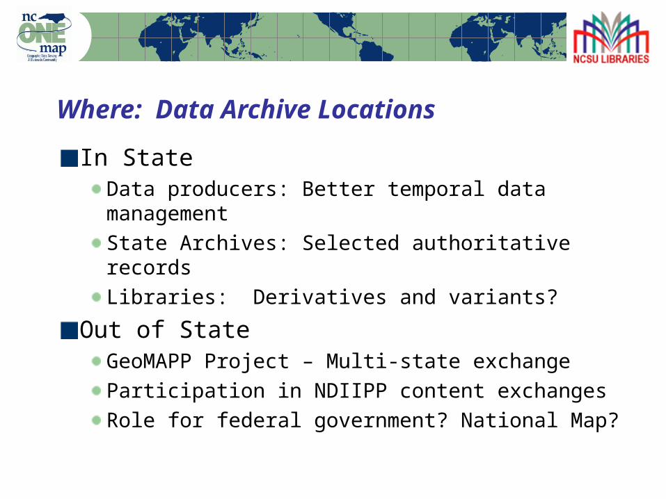
Where: Data Archive Locations
In StateData producers: Better temporal data managementState Archives: Selected authoritative recordsLibraries: Derivatives and variants?
Out of StateGeoMAPP Project – Multi-state exchangeParticipation in NDIIPP content exchangesRole for federal government? National Map?
How?
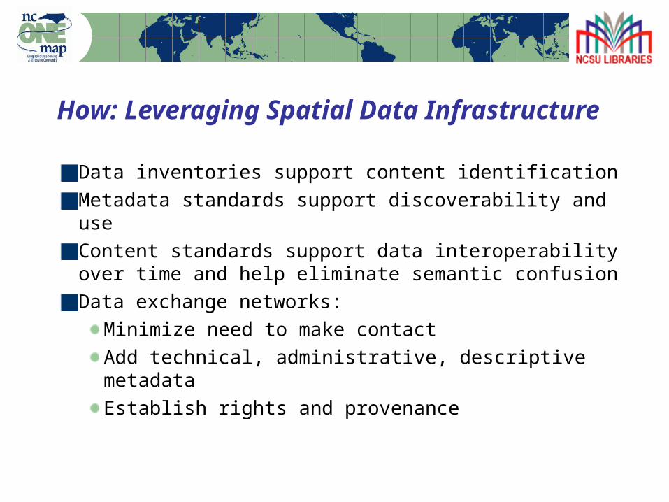
How: Leveraging Spatial Data Infrastructure
Data inventories support content identificationMetadata standards support discoverability and useContent standards support data interoperability over time and help eliminate semantic confusionData exchange networks:
Minimize need to make contactAdd technical, administrative, descriptive metadataEstablish rights and provenance
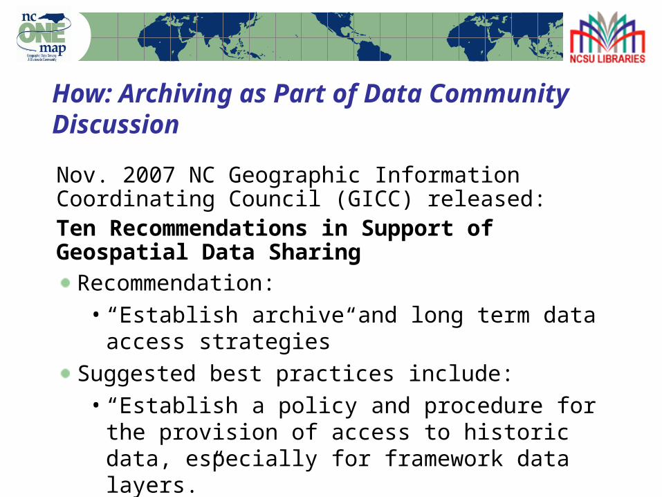
How: Archiving as Part of Data Community Discussion
Nov. 2007 NC Geographic Information Coordinating Council (GICC) released:Ten Recommendations in Support of Geospatial Data Sharing
Recommendation: • “Establish archive and long term data access
strategies”Suggested best practices include: • “Establish a policy and procedure for the
provision of access to historic data, especially for framework data layers.”

How: GICC Archival and Long Term Access Committee
Initiated in response to agency requests for guidance on temporal data managementCounty, municipal, state, federal, and regional representationKey focus: Best practices for data snapshots and retention
Moving Forward
GICC Archival and Long-Term Access CommitteeGeoMAPP – NDIIPP Multi-state geospatial project (NC, KY, UT)Open Geospatial Consortium (OGC) Data Preservation Working GroupVendor engagement
Thanks!
Steve MorrisHead, Digital Library InitiativesNCSU [email protected]
NCGDAP: http://www.lib.ncsu.edu/ncgdap/