Embed Size (px)
Citation preview
Coffee, Donuts and GISUser 2 User Meeting
Scott Roberts – South Windsor Director
April 2011
Introductions
Scott Roberts – Director of Information Technology
Serving with the Town of South Windsor since 2005. Project Manager for Fuss & O’Neill Inc performing regional GIS consulting from 1994 –2005. Roberts is a member of various State of Connecticut Councils and Committees are has
been published in Government Technology Magazine
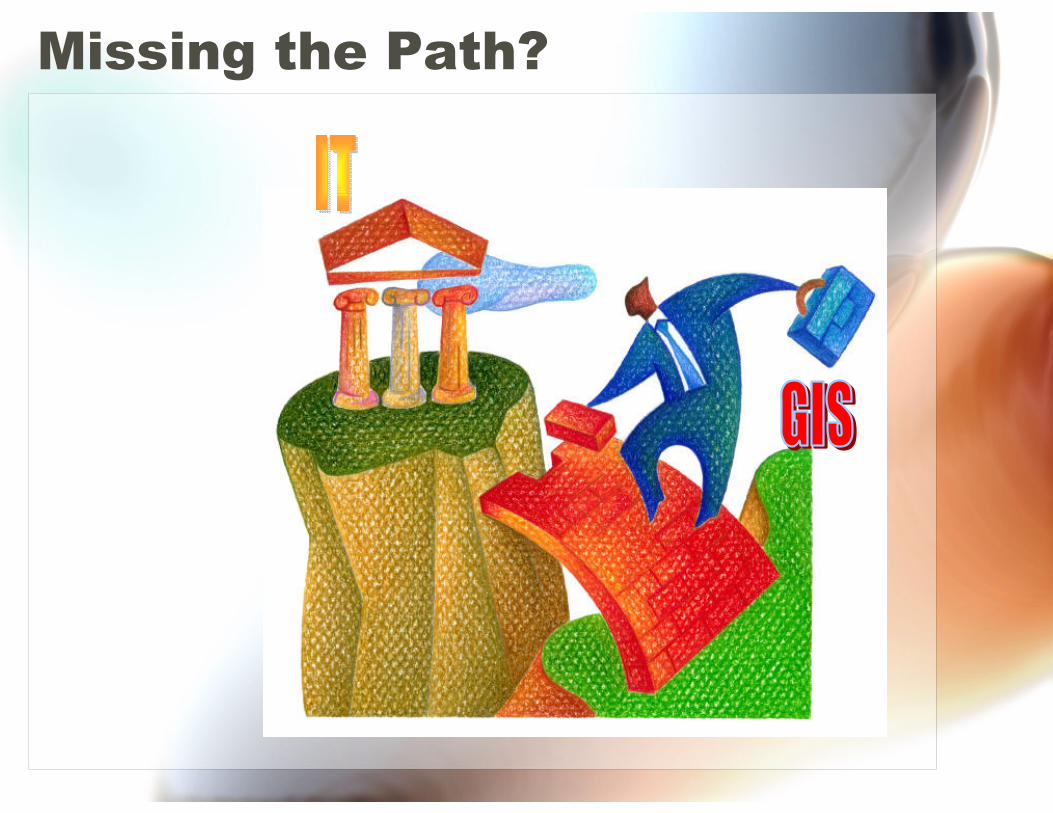
Missing the Path?
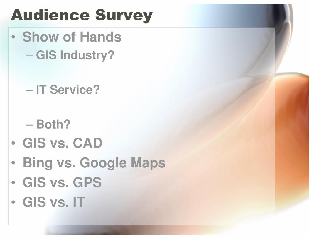
Audience Survey
• Show of Hands
– GIS Industry?
– IT Service?
– Both?
• GIS vs. CAD
• Bing vs. Google Maps
• GIS vs. GPS
• GIS vs. IT
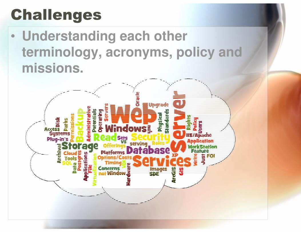
Challenges
• Understanding each other terminology, acronyms, policy and missions.
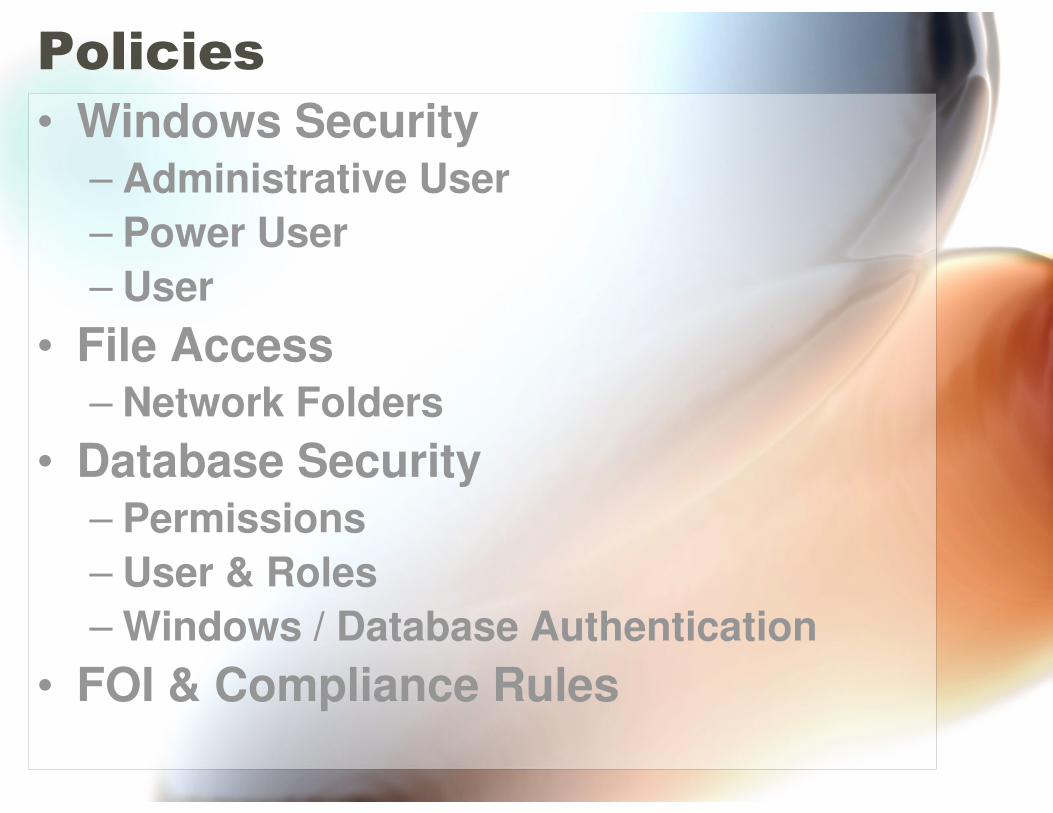
Policies
• Windows Security– Administrative User
– Power User
– User
• File Access– Network Folders
• Database Security– Permissions
– User & Roles
– Windows / Database Authentication
• FOI & Compliance Rules
Missions
• Secure Access
– Storage (Read, Read & Write, Modify)
– Internet
• Business Continuity
– Up Time
– Back Ups & Back Up Window
– Archival
– Redundancy
• Network / System
– Support / Maintenance
• Entire Town Staff (Priorities)
– EMS, Executives, Staff
Integration of IT and GIS
• Complex Picture
• Many Options
• Various Path
• Great Potential
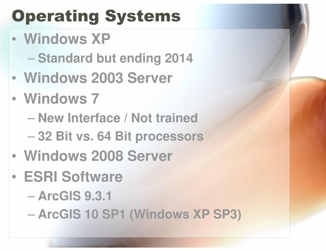
Operating Systems
• Windows XP
– Standard but ending 2014
• Windows 2003 Server
• Windows 7
– New Interface / Not trained
– 32 Bit vs. 64 Bit processors
• Windows 2008 Server
• ESRI Software
– ArcGIS 9.3.1
– ArcGIS 10 SP1 (Windows XP SP3)
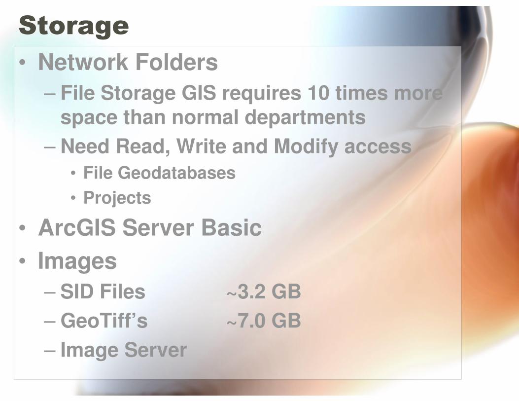
Storage
• Network Folders
– File Storage GIS requires 10 times more space than normal departments
– Need Read, Write and Modify access
• File Geodatabases
• Projects
• ArcGIS Server Basic
• Images
– SID Files ~3.2 GB
– GeoTiff’s ~7.0 GB
– Image Server
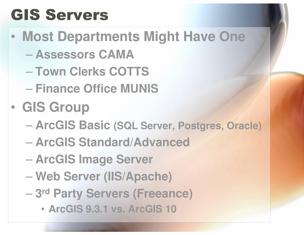
GIS Servers
• Most Departments Might Have One
– Assessors CAMA
– Town Clerks COTTS
– Finance Office MUNIS
• GIS Group
– ArcGIS Basic (SQL Server, Postgres, Oracle)
– ArcGIS Standard/Advanced
– ArcGIS Image Server
– Web Server (IIS/Apache)
– 3rd Party Servers (Freeance)
• ArcGIS 9.3.1 vs. ArcGIS 10
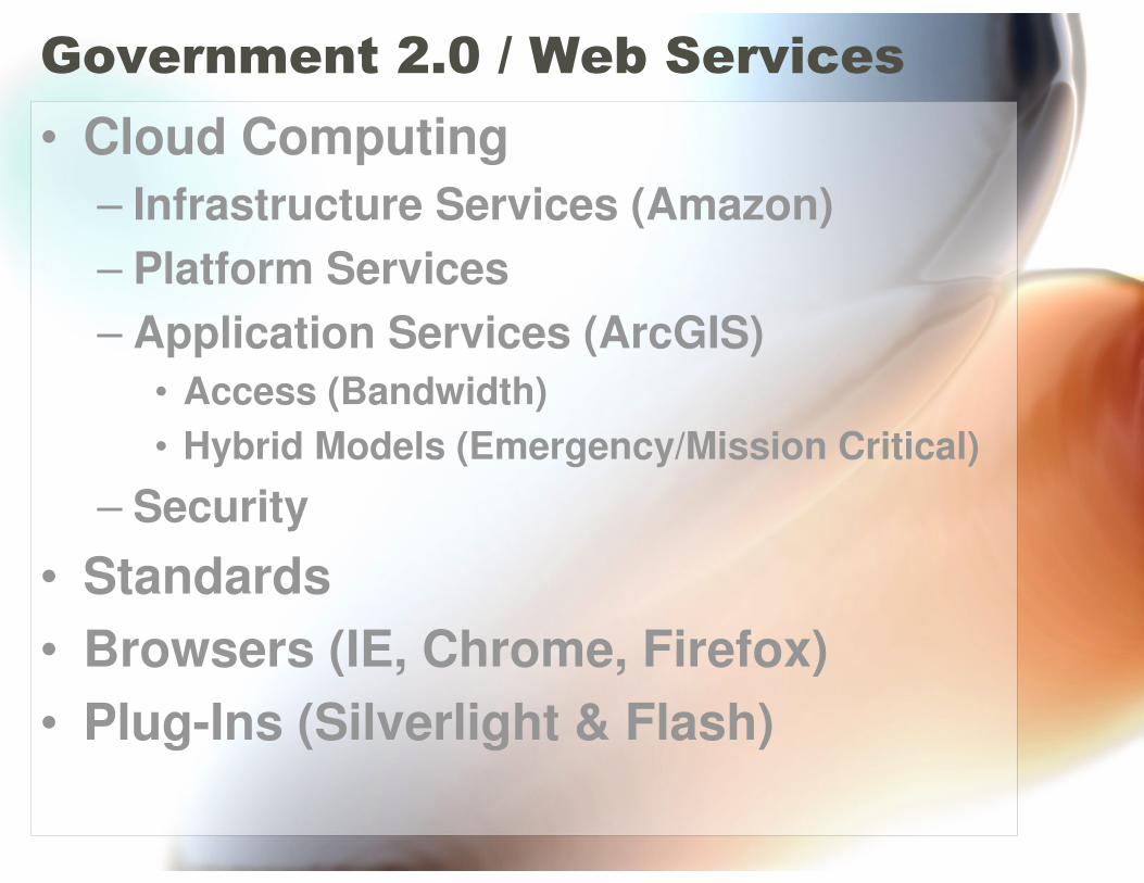
Government 2.0 / Web Services
• Cloud Computing
– Infrastructure Services (Amazon)
– Platform Services
– Application Services (ArcGIS)
• Access (Bandwidth)
• Hybrid Models (Emergency/Mission Critical)
– Security
• Standards
• Browsers (IE, Chrome, Firefox)
• Plug-Ins (Silverlight & Flash)
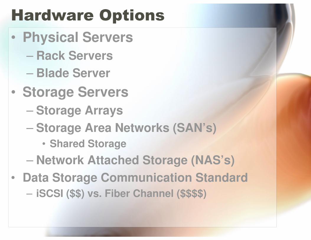
Hardware Options
• Physical Servers
– Rack Servers
– Blade Server
• Storage Servers
– Storage Arrays
– Storage Area Networks (SAN’s)
• Shared Storage
– Network Attached Storage (NAS’s)
• Data Storage Communication Standard
– iSCSI ($$) vs. Fiber Channel ($$$$)
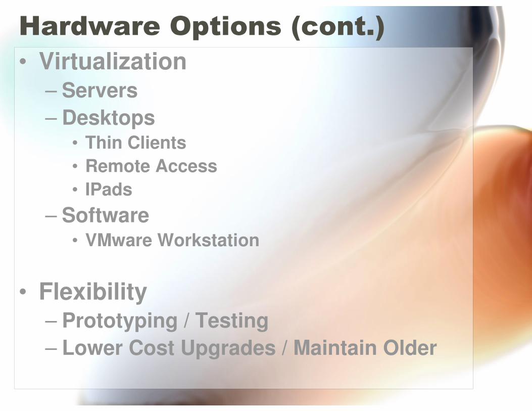
Hardware Options (cont.)
• Virtualization– Servers
– Desktops• Thin Clients
• Remote Access
• IPads
– Software• VMware Workstation
• Flexibility– Prototyping / Testing
– Lower Cost Upgrades / Maintain Older
Training Needs
• Most Basic Users
– Word Processor, Email, Spreadsheet
– Department System (CAMA, MUNIS, ETC)
• Next Step
– AutoCAD (Public Works / Engineering)
• Highest Needs
– Information Technology
– GIS
• Geodatabase Building/Design
• Server (Managing, Configuration & Tuning)
• Desktop (I, II & III)
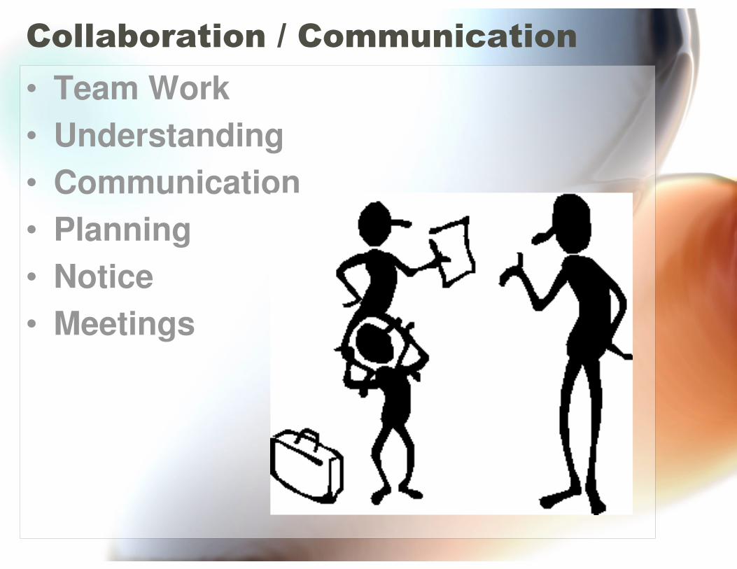
Collaboration / Communication
• Team Work
• Understanding
• Communication
• Planning
• Notice
• Meetings

Questions / Discussion