Embed Size (px)
Citation preview
Coastal Climate Change Adaptation – A SIDS Education ImperativeDr Lorna V. Inniss - BARBADOS
Presentation Anatomy -CCA
A Barbados model for coastal CCA that:• Protects the natural lines of defense • Enforces coastal planning and policy
regimes• Addresses sea level-related hazards• Conducts effective shoreline stabilization• Addresses data and information needs

Presentation Anatomy - Education
• Improvement of relationship with oceans and coasts
• Education for coastal planning• Involvement in ecosystem conservation• Shoreline stabilization and coastal hazards• Teacher training and course development• Location and structure of schools and
other critical buildings

Why the Barbados Model?
We heard yesterday that one size does NOT fit all, BUT this model has overcome many of the challenges discussed:
• The human dimension• The political dimension • The messages that appeal• Everyone involved in the solution• Sustainable financing for ICZM/CCA

The Human Dimension
• There is no higher calling for human beings than the saving of lives
• Work with people’s self interest, while achieving ICZM/CCA goals
• Knowledge is the first step to changing behavior

The Political Dimension
Informed policy makers translate to:• Sustained financing for ICZM & CCA• Fewer policy decisions with negative
impacts• Data and information requirements are
funded• Change in administration does not change
program support

Natural Lines of Defense
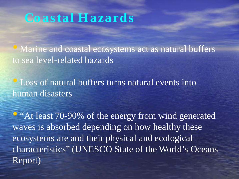
Coastal Hazards
• Marine and coastal ecosystems act as natural buffers to sea level-related hazards
• Loss of natural buffers turns natural events into human disasters
• “At least 70-90% of the energy from wind generated waves is absorbed depending on how healthy these ecosystems are and their physical and ecological characteristics” (UNESCO State of the World’s Oceans Report)

High South Coast Waves

Crane Beach Before

Crane Beach North

• Allow waves to dissipate 70-90% of their destructive energy offshore
• Area covered by:– Bank reefs – 15.9 km– Fringing reefs – 1.53 km
• Approx. 80% fringing reefs lost
• Bank reefs decreased from 37.3% - 23.2% over a decade
CORAL REEFS - NATURAL BR EAKWATERS

ANTHROPOGENIC STRESSORS
Anchor damage
Destructive fishingHarvesting for sale
Tourism pressure
Land based sourcesof marine pollution

Mangroves - Natural Shock Absorbers
• Buffers
• Limit floodwater inundation
• Mangroves covered almost our entire coastline
• Destroyed approx. 95%
• Primarily via coastal construction
Replaced by

RUBBLE, SEA GRASS
• Not much help in a major disaster…
BUT
• can offer some protection against wave action

HEALTHY ECOSYSTEMS
SAVE LIVES!

Coastal Planning

Coastal Land Use Planning
A permitting process based on a coastal zone management plan that:
• Imposes conditions on coastal infrastructure to protect both life and ecosystems
• Reduces economic vulnerability to sea level-related hazards
• Maintains recreational space for citizens and visitors
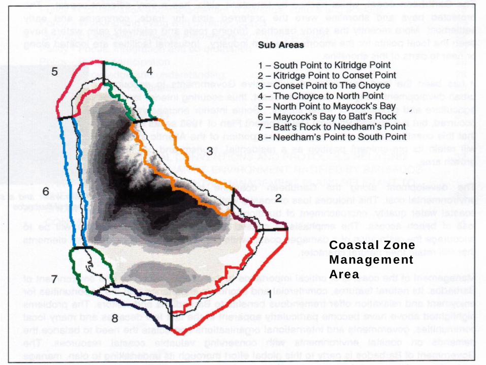
Coastal Zone Management Area

Not Enough to Influence the Message!!!• No more schools within the vulnerable
zone OR• Choose sites with lower vulnerability• Mangroves and/or other vegetation
between school and water• Maintain wide beaches fronting schools• Ensuring structural integrity of schools
DATA AND INFORMATION NEEDS FOR COASTAL CCA

Data Needs for Coastal CCA
• Marine meteorology • High resolution bathymetry• Offshore wave climate• Nearshore wave transformations• Beach profile measurements• Sediment transport mechanisms

Data Needs Continued
For conservation of natural lines of defense
• Ecosystem measurements • Water quality and discharge monitoring• Monitor human activities that will exacerbate
storm surge


Offshore Wave climate

Nearshore Wave Transformation


Beach Profile Measurements

What happens when Climate Change overwhelms us?
• Some emergency or long-term works to reduce wave energy
• Properly designed and modeled coastal engineering
• Make the solution as soft and unobtrusive as possible
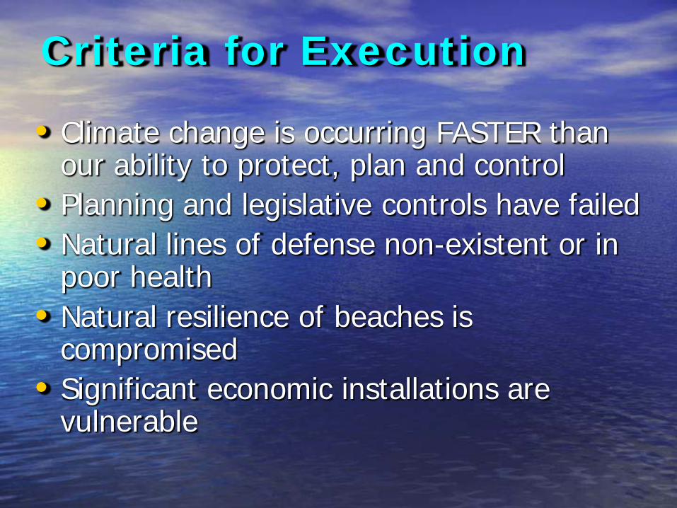
Criteria for Execution
• Climate change is occurring FASTER than our ability to protect, plan and control
• Planning and legislative controls have failed• Natural lines of defense non-existent or in
poor health• Natural resilience of beaches is
compromised• Significant economic installations are
vulnerable
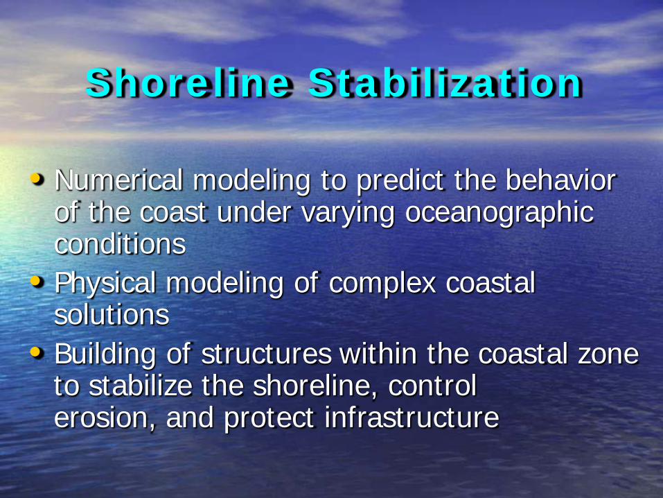
Shoreline Stabilization
• Numerical modeling to predict the behavior of the coast under varying oceanographic conditions
• Physical modeling of complex coastal solutions
• Building of structures within the coastal zone to stabilize the shoreline, control erosion, and protect infrastructure

Barbados Project - Nearshore Wave Modelling
• Simulations carried out using M21 NSW• A Two-Stage Modelling Process
– Coarse Grids (ΔX=20m ΔY=100m)– Nested Grids (ΔX=4m ΔY=20m)
Plan View of Barbados
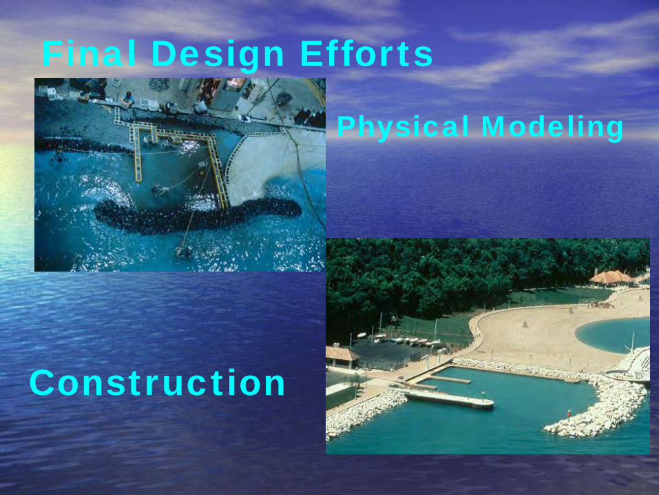
Final Design Efforts
Physical Modeling
Construction

A C
B
Select Preferred Concept
Design Process
Select “Preferred” Concepts & Focus Final Design Efforts on Preferred Concepts
Final Design

Holetown Physical Model
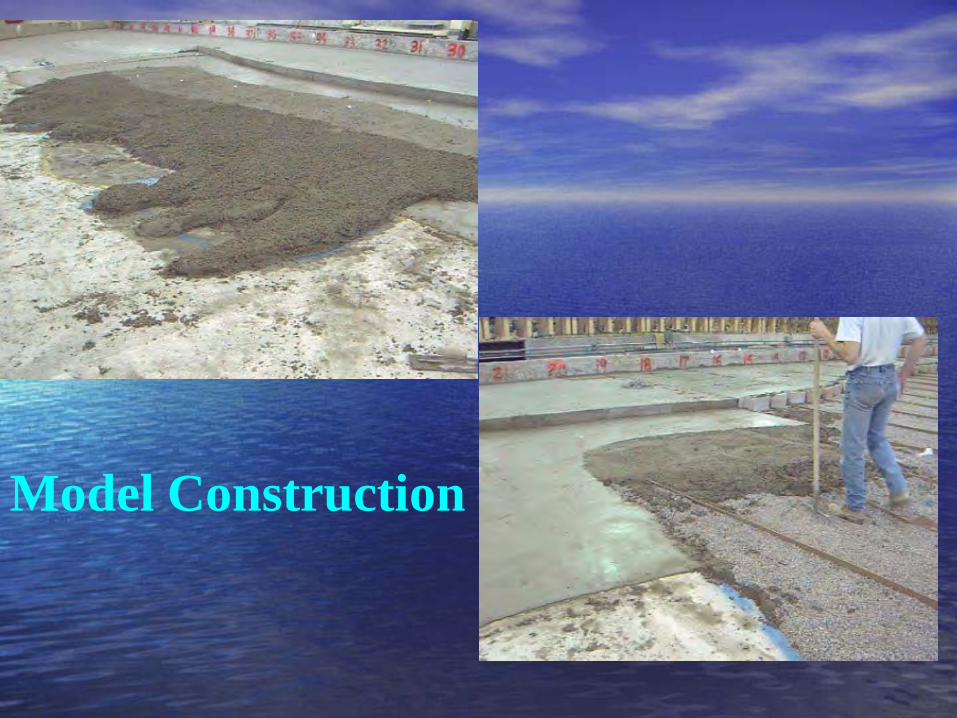
Model Construction

Model Construction

Holetown Model / Prototype


Final Design

Rockley

Welches

Coastal CCA Education
• Challenge students and adults to learn about their coast – Waterworld
• Encourage involvement in data collection programs – SANDWATCH & BADASS
• Monthly coastal hikes with commentary• PROJECTS, PROJECTS. PROJECTS• Teacher training at academy level

Coastal Risk Assessment and Management Project• Build resilience to coastal hazards• Will incorporate CCA strategies into ICZM• DRR issues related to coastal hazards will
be addressed• Diagnostic studies will be repeated• Shoreline stabilization continues

“Education programmes and early warning systems will
significantly reduce the number of human casualties, but it will only be through careful coastal and land-use planning that the economic and social costs of
such disasters can be kept to a minimum”
Isabelle Louis, Director of WWF International’s Asia-Pacific Programme.

THANK YOU!!!Dr Lorna Inniss
CHAIR – Caribbean Tsunami and Coastal Hazards Warning System
Co-CHAIR – Standing Committee on Coastal Hazards
Deputy Director, Coastal Zone Mgt Unit, Barbados
Coordinator – Group of Experts for the Global Marine Assessment