Embed Size (px)
Citation preview
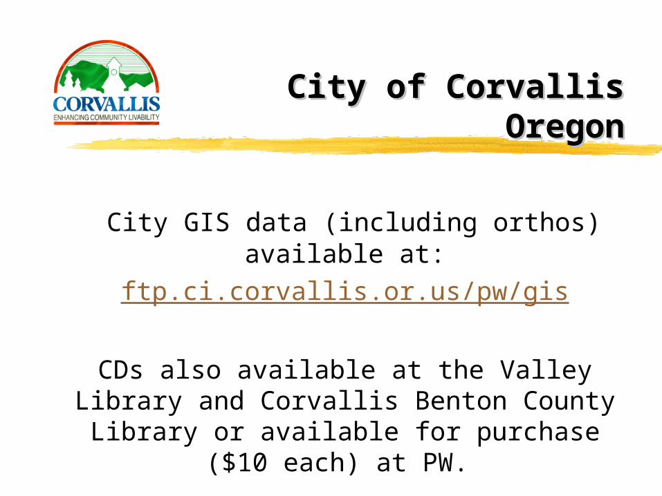
City of CorvallisCity of CorvallisOregonOregon
Alice A. Grucza
GIS Coordinator
541.754.174
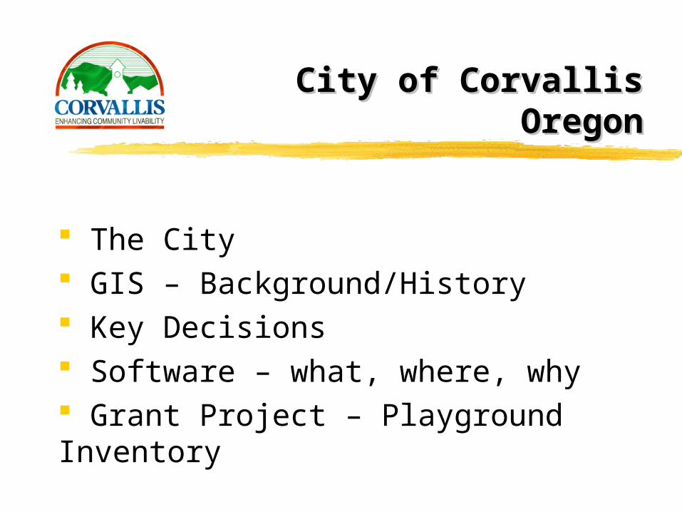
City of CorvallisCity of CorvallisOregonOregon
The City GIS – Background/History Key Decisions Software – what, where, why Grant Project – Playground Inventory
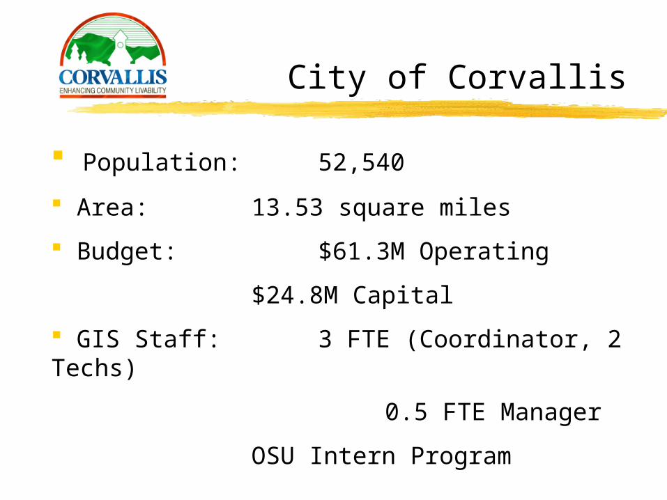
City of Corvallis
Population: 52,540
Area: 13.53 square miles
Budget: $61.3M Operating
$24.8M Capital
GIS Staff: 3 FTE (Coordinator, 2 Techs)
0.5 FTE Manager
OSU Intern Program
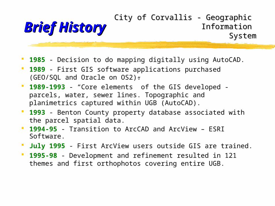
Brief HistoryBrief History
1985 - Decision to do mapping digitally using AutoCAD. 1989 - First GIS software applications purchased (GEO/SQL and
Oracle on OS2). 1989-1993 - “Core elements” of the GIS developed - parcels,
water, sewer lines. Topographic and planimetrics captured within UGB (AutoCAD).
1993 - Benton County property database associated with the parcel spatial data.
1994-95 - Transition to ArcCAD and ArcView – ESRI Software. July 1995 - First ArcView users outside GIS are trained. 1995-98 - Development and refinement resulted in 121 themes
and first orthophotos covering entire UGB.
City of Corvallis - Geographic City of Corvallis - Geographic Information Information
SystemSystem
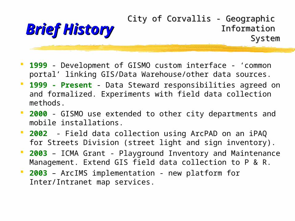
Brief HistoryBrief History
1999 - Development of GISMO custom interface - ‘common portal’ linking GIS/Data Warehouse/other data sources.
1999 - Present - Data Steward responsibilities agreed on and formalized. Experiments with field data collection methods.
2000 - GISMO use extended to other city departments and mobile installations.
2002 - Field data collection using ArcPAD on an iPAQ for Streets Division (street light and sign inventory).
2003 – ICMA Grant - Playground Inventory and Maintenance Management. Extend GIS field data collection to P & R.
2003 – ArcIMS implementation - new platform for Inter/Intranet map services.
City of Corvallis - Geographic City of Corvallis - Geographic Information Information
SystemSystem
Key DecisionsKey Decisions
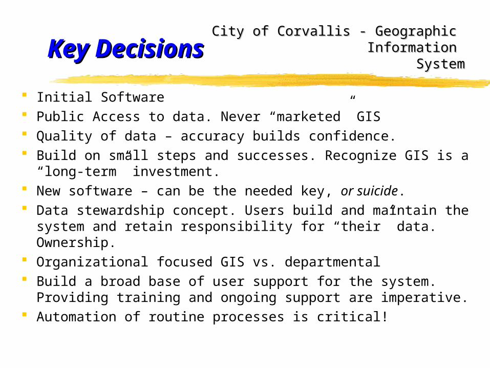
Initial Software Public Access to data. Never “marketed” GIS Quality of data – accuracy builds confidence. Build on small steps and successes. Recognize GIS is a “long-
term” investment. New software – can be the needed key, or suicide. Data stewardship concept. Users build and maintain the system
and retain responsibility for “their” data. Ownership. Organizational focused GIS vs. departmental Build a broad base of user support for the system. Providing
training and ongoing support are imperative. Automation of routine processes is critical!
City of Corvallis - Geographic City of Corvallis - Geographic Information Information
SystemSystem
SoftwareSoftware
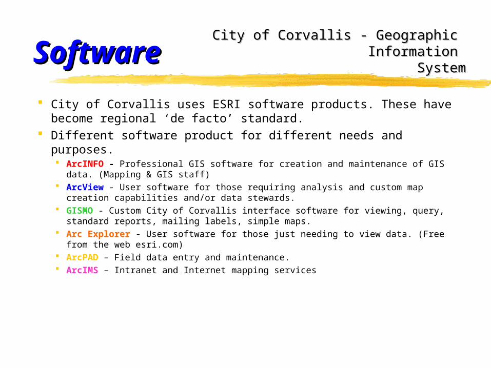
City of Corvallis uses ESRI software products. These have become regional ‘de facto’ standard.
Different software product for different needs and purposes. ArcINFO - Professional GIS software for creation and maintenance of GIS data.
(Mapping & GIS staff) ArcView - User software for those requiring analysis and custom map creation
capabilities and/or data stewards. GISMO - Custom City of Corvallis interface software for viewing, query, standard
reports, mailing labels, simple maps. Arc Explorer - User software for those just needing to view data. (Free from the
web esri.com) ArcPAD – Field data entry and maintenance. ArcIMS – Intranet and Internet mapping services
City of Corvallis - Geographic City of Corvallis - Geographic Information Information
SystemSystem
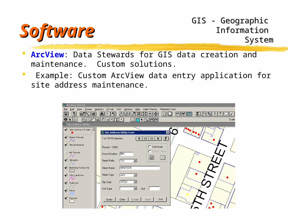
SoftwareSoftware ArcView: Data Stewards for GIS data creation and
maintenance. Custom solutions. Example: Custom ArcView data entry application for site
address maintenance.
GIS - Geographic GIS - Geographic Information Information
SystemSystem
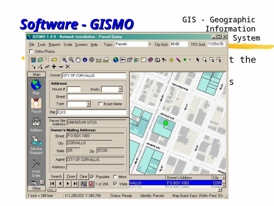
Software GISMOSoftware GISMO
GISMO - Custom Corvallis interface software. Developed by PW with consultant (GeoNorth) in 1999. Visual Basic and Map Objects. Currently over 150 users - desk and mobile installs. Data entry point for PW’s maintenance management software. ‘Common portal’ to information from many different programs,
departments, sources, etc. Links many data types to their geographic location. Example:
scanned documents License cost is minimal (less than $90 each install) Easy to use. Requires minimal training to use effectively.
GIS - Geographic GIS - Geographic Information Information
SystemSystem
Software - GISMOSoftware - GISMO
Designed for PW - now used throughout the organization, Planning, Development, Fire, Police, Dispatch, City Managers Office, Park & Recreation, etc.
GIS - Geographic GIS - Geographic Information Information
SystemSystem
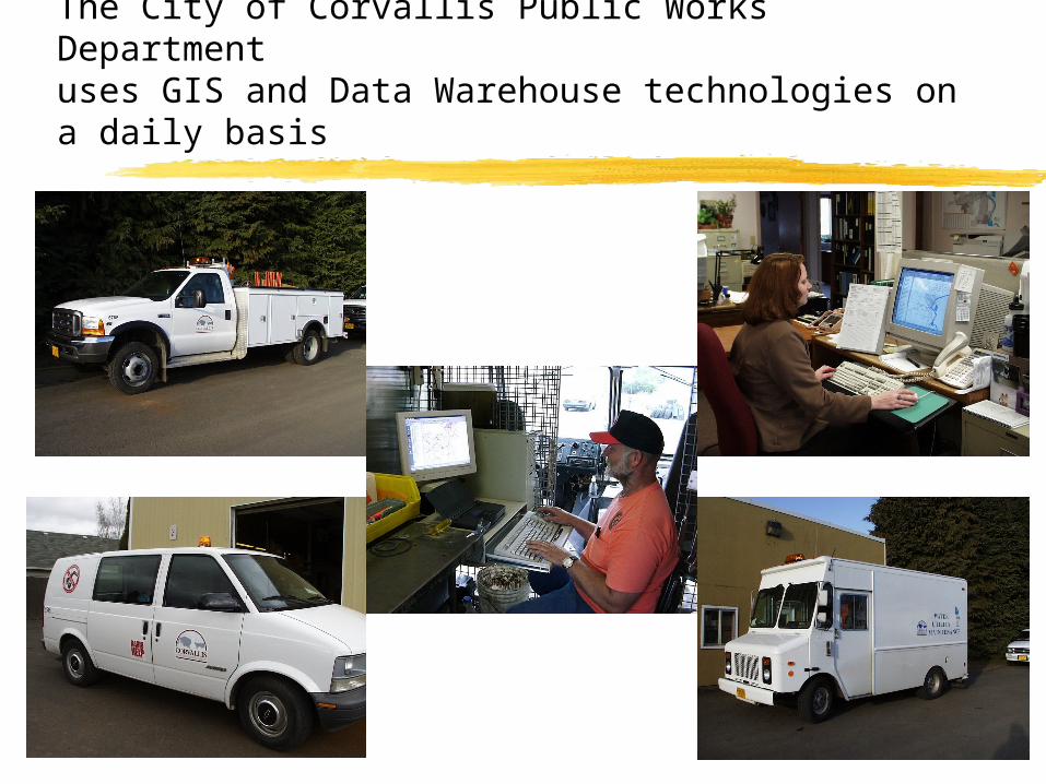
The City of Corvallis Public Works Departmentuses GIS and Data Warehouse technologies on a daily basis
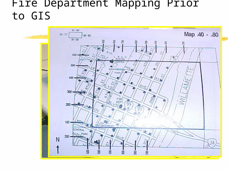
Fire Department Mapping Prior to GIS
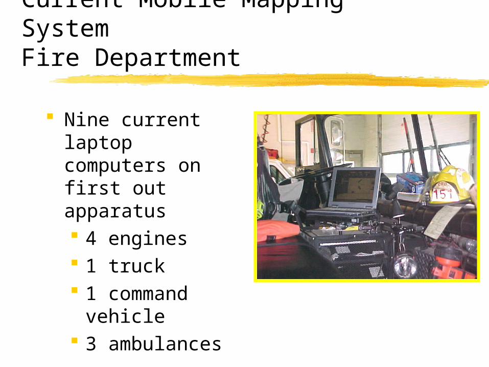
Current Mobile Mapping SystemFire Department
Nine current laptop computers on first out apparatus 4 engines 1 truck 1 command
vehicle 3 ambulances
Software ArcPADSoftware ArcPADGIS - Geographic GIS - Geographic
Information Information SystemSystem
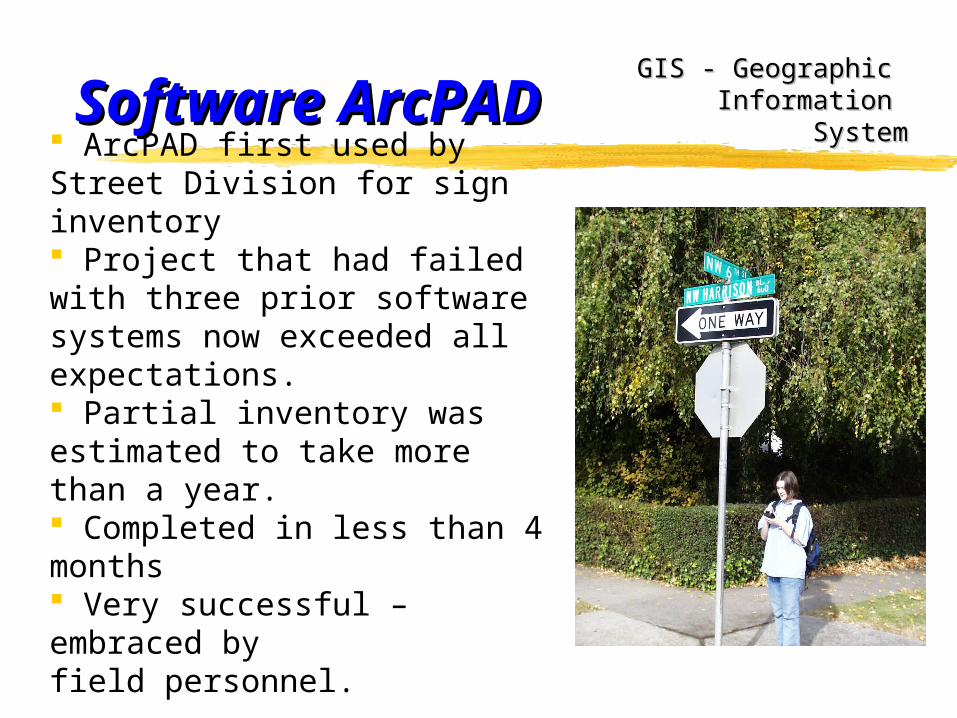
ArcPAD first used by Street Division for sign inventory Project that had failed with three prior software systems now exceeded all expectations. Partial inventory was estimated to take more than a year. Completed in less than 4 months Very successful – embraced by field personnel.
Software ArcPADSoftware ArcPADGIS - Geographic GIS - Geographic
Information Information SystemSystem
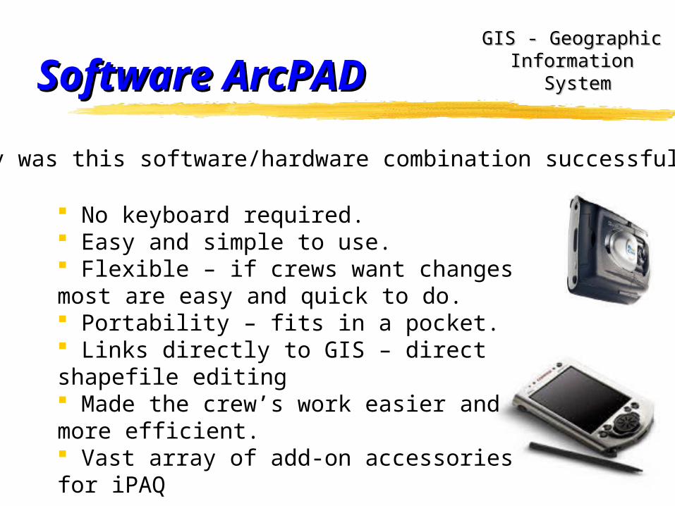
Why was this software/hardware combination successful?
No keyboard required. Easy and simple to use. Flexible – if crews want changes most are easy and quick to do. Portability – fits in a pocket. Links directly to GIS – direct shapefile editing Made the crew’s work easier and more efficient. Vast array of add-on accessories for iPAQ
Software ArcPADSoftware ArcPADGIS - Geographic GIS - Geographic
Information Information SystemSystem
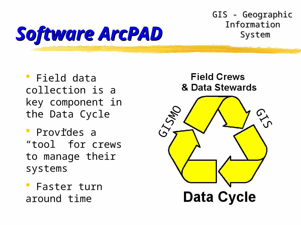
Field data collection is a key component in the Data Cycle
Provides a “tool” for crews to manage their systems
Faster turn around time
GIS
MO G
IS
Software ArcPADSoftware ArcPAD
ICMA Grant Project – Playground Equipment Inventory and Maintenance Management Program
GIS - Geographic GIS - Geographic Information Information
SystemSystem
Expand technology to a low-tech department
Streamline regular reporting and management efforts
Add significant GIS features into the system
Low (and getting lower) budget opportunities
Eager staff looking for ways to improve service
Partnership with Oregon State University CS 461-462 Team
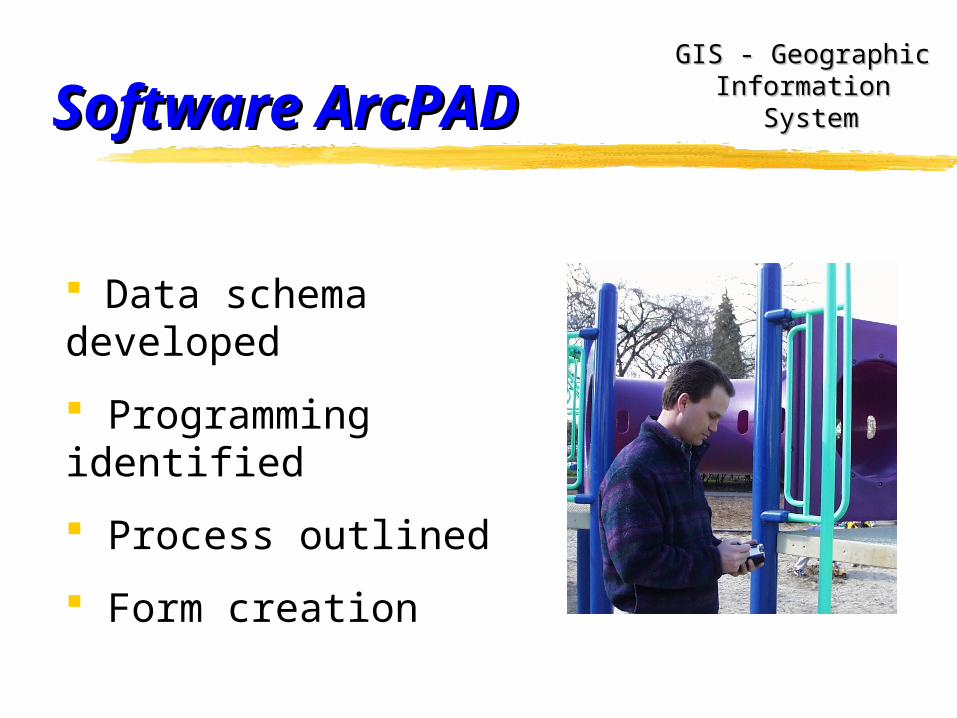
Software ArcPADSoftware ArcPADGIS - Geographic GIS - Geographic
Information Information SystemSystem
Data schema developed
Programming identified
Process outlined
Form creation
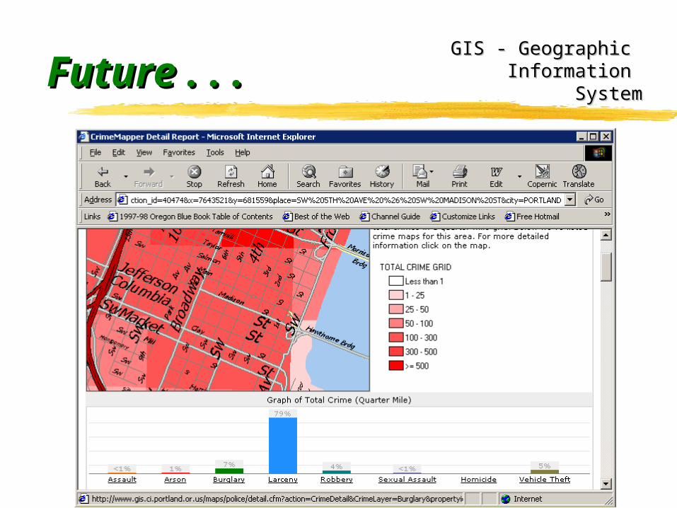
Future . . .Future . . .GIS - Geographic GIS - Geographic
Information Information SystemSystem
Why use GIS in Corvallis?Why use GIS in Corvallis?
Geographic or location base to most city information and Geographic or location base to most city information and services (FGDC study says 80% of gov’t data is location services (FGDC study says 80% of gov’t data is location based)based)
Better Information and Analysis tools for decision making Better Information and Analysis tools for decision making and communicatingand communicating..
Same information to everyone - not different versions, dates.Same information to everyone - not different versions, dates. Public access to information (future - web access) Public access to information (future - web access) Record retained of changes over time.Record retained of changes over time. Dynamic resource - information increasingDynamic resource - information increasing. Data + Mapping - production of custom mapsData + Mapping - production of custom maps. -- Better Customer Service!
GIS - Geographic GIS - Geographic Information Information
SystemSystem
City of Corvallis City of Corvallis - - Geographic Geographic Information Information
SystemSystem
Smart Maps Smart Maps provide provide
Smart Service Smart Service Delivery!Delivery!
It’s simply ...
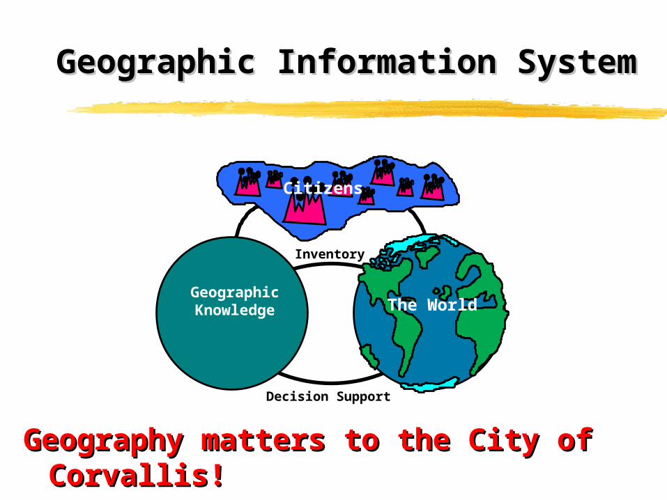
Geographic Information SystemGeographic Information System
Geography matters to the City of Corvallis!Geography matters to the City of Corvallis!
Decision Support
Citizens
Inventory
GeographicKnowledge The World
City of CorvallisCity of CorvallisOregonOregon
City GIS data (including orthos) available at:
ftp.ci.corvallis.or.us/pw/gis
CDs also available at the Valley Library and Corvallis Benton County Library or available for
purchase ($10 each) at PW.
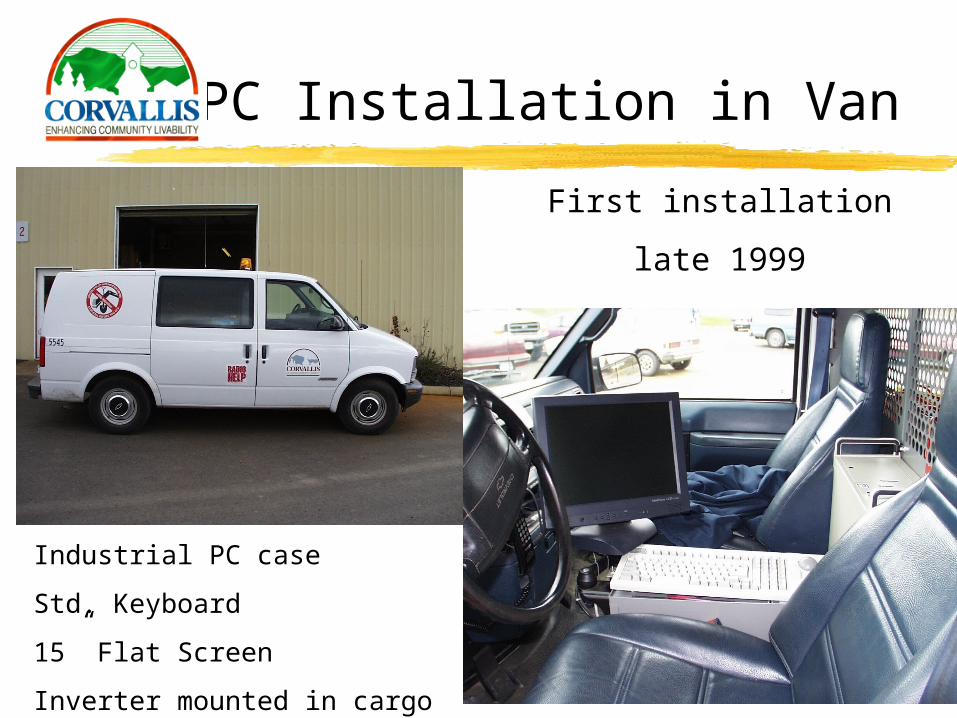
PC Installation in Van
First installation
late 1999
Industrial PC case
Std. Keyboard
15” Flat Screen
Inverter mounted in cargo area
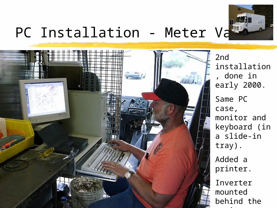
PC Installation - Meter Van
2nd installation, done in early 2000.
Same PC case, monitor and keyboard (in a slide-in tray).
Added a printer.
Inverter mounted behind the monitor.
Uses GISMO and ArcPad.
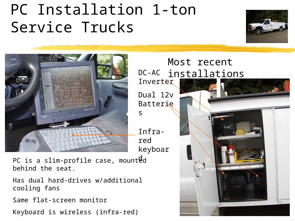
PC Installation 1-ton Service Trucks
PC is a slim-profile case, mounted behind the seat.
Has dual hard-drives w/additional cooling fans
Same flat-screen monitor
Keyboard is wireless (infra-red)
Has a wireless Ethernet network card
DC-AC Inverter
Dual 12v Batteries
Infra-red keyboard
Most recent installations
![Untitled-1 [] Grucza Wizards (Le Cirque), 1980 ... Mr. and Mrs. J. F. Brower Prize, $300 35 Robert N. McCauley Tower #3, 1980 sheet lead, wood 108 x 60 x 24 inches](https://img.pdfslide.us/doc/110x75/5abbb4d17f8b9a8f058cc42f/untitled-1-grucza-wizards-le-cirque-1980-mr-and-mrs-j-f-brower-prize.jpg)