Embed Size (px)
Citation preview
Chapter 2 Vocabulary
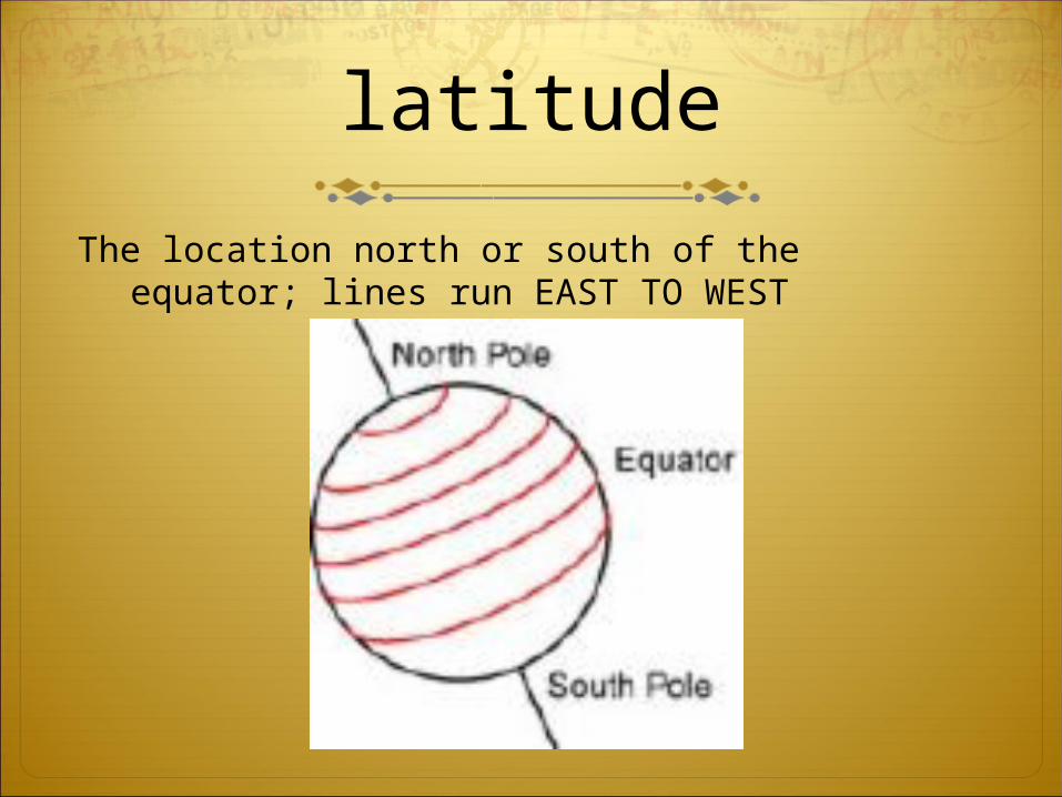
Day 1latitude
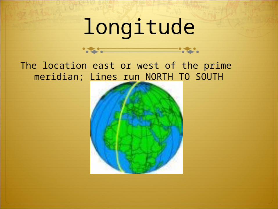
longitude
meridians
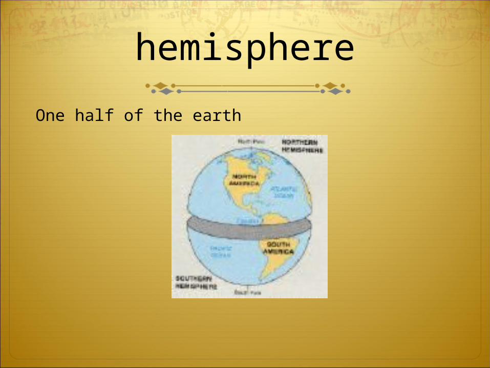
hemispheres
equator
prime meridian
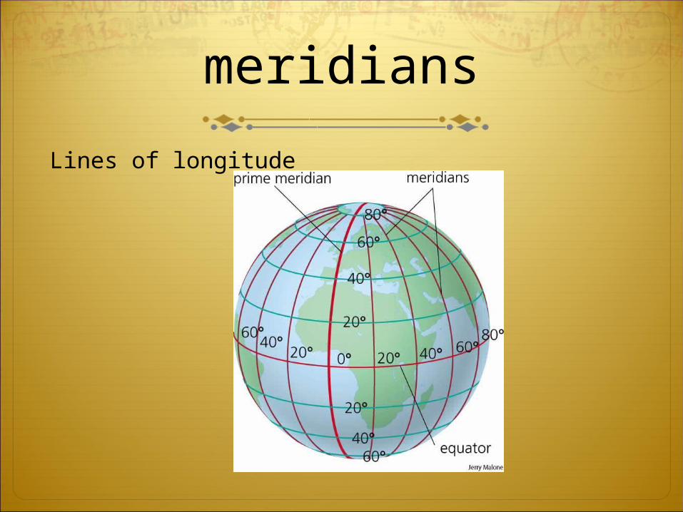
meridians
Lines of longitude
equator
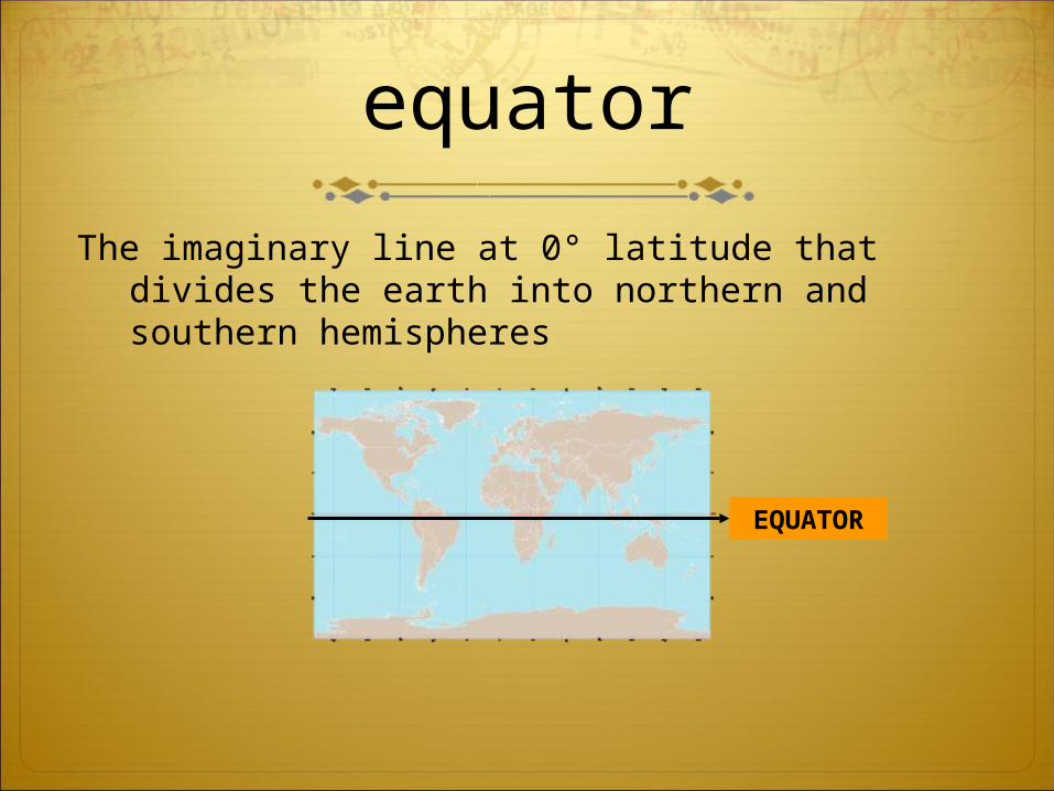
The imaginary line at 0° latitude that divides the earth into northern and southern hemispheres
EQUATOR
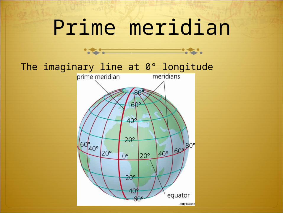
Prime meridian
The imaginary line at 0° longitude

“Talk a mile a minute”
Latitude
Prime Meridian
Equator
Longitude
Hemisphere
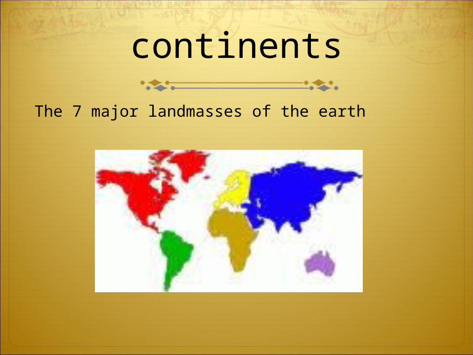
Day 2Continents
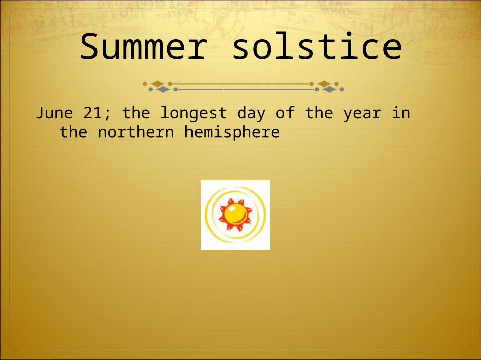
Summer Solstice
Winter solstice
Scale
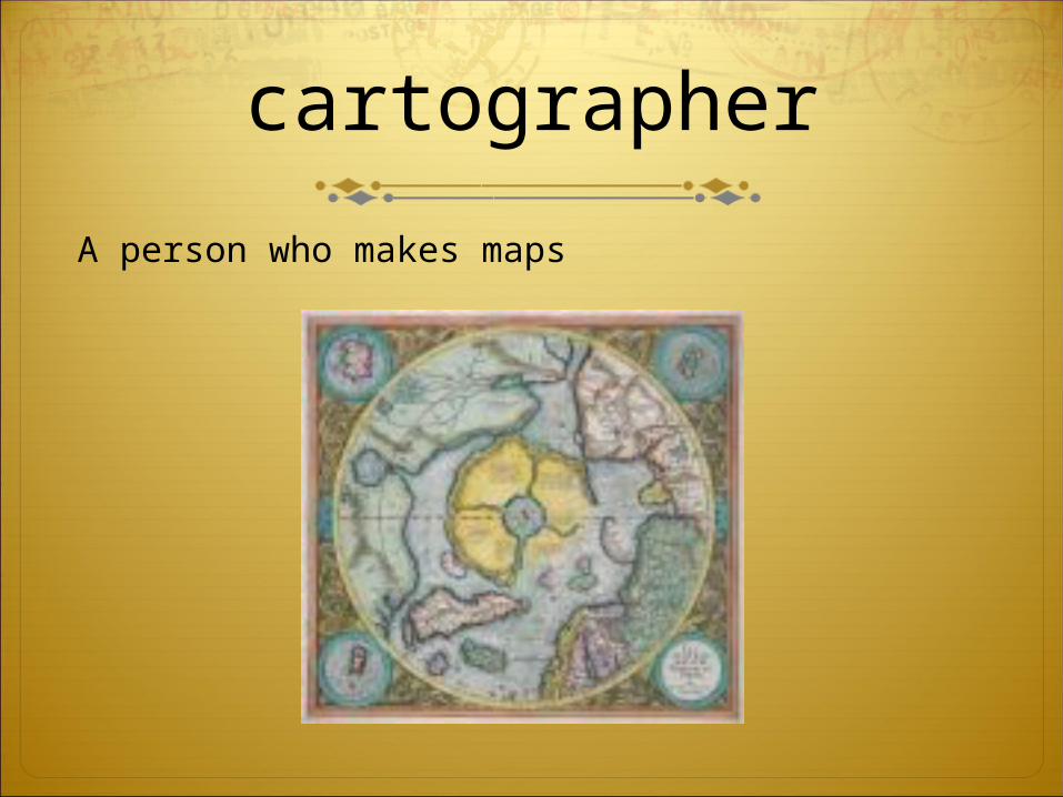
cartographer
Continents
Summer Solstice
Winter Solstice
Scale
Cartographer
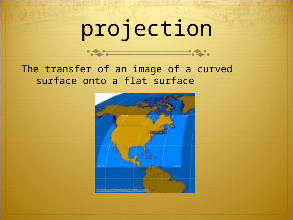
Projection
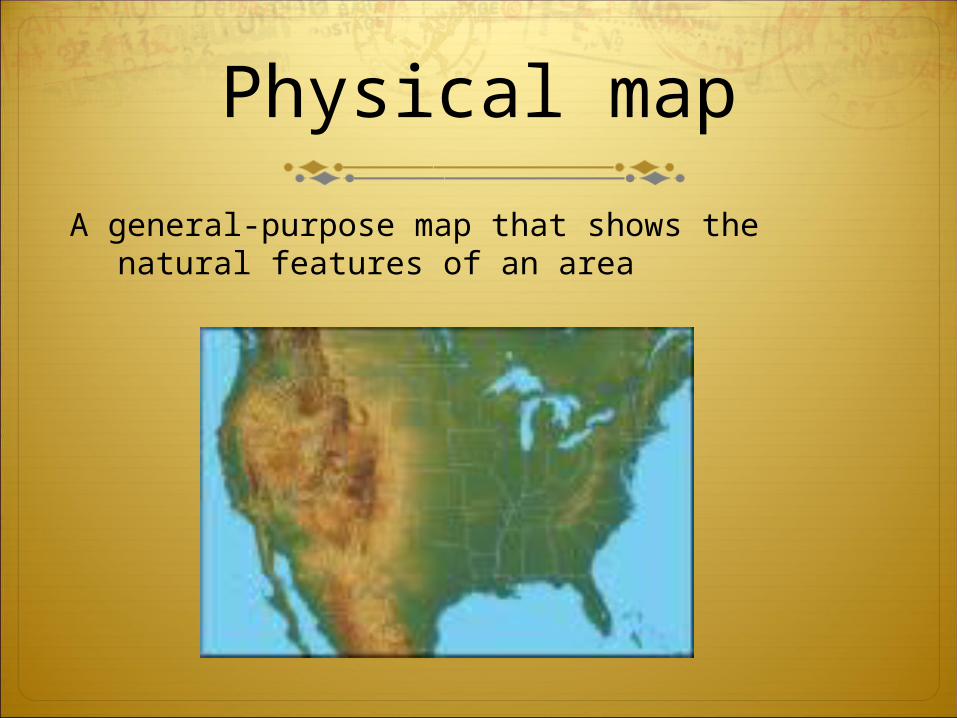
Physical Map
Topography
Political Map
Legend
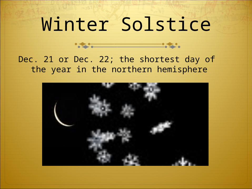
Winter Solstice
Dec. 21 or Dec. 22; the shortest day of the year in the northern hemisphere
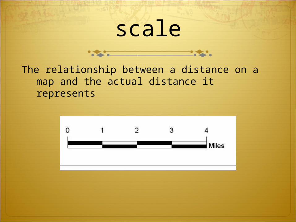
scale
The relationship between a distance on a map and the actual distance it represents
Day 3Projection
Physical map
Topography
Political map
legend
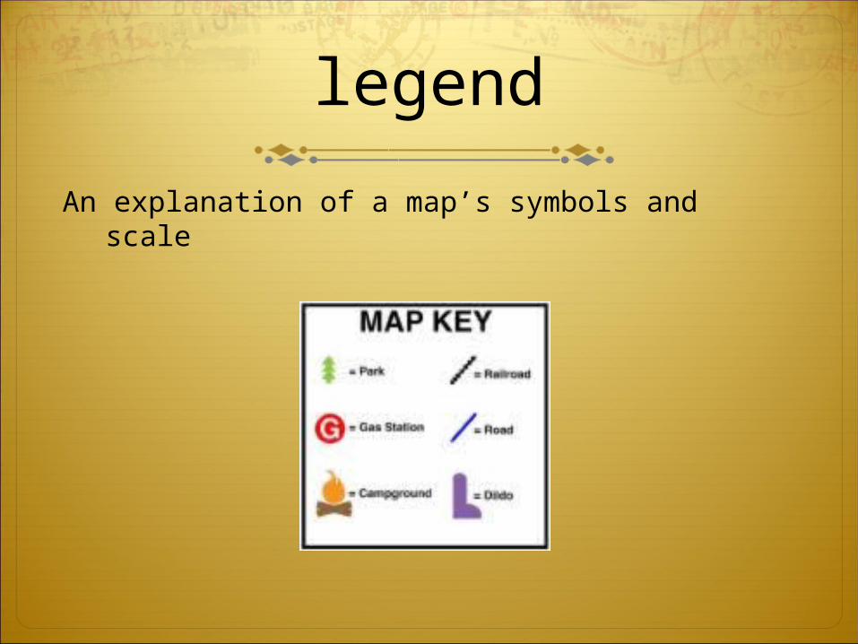
legend
An explanation of a map’s symbols and scale
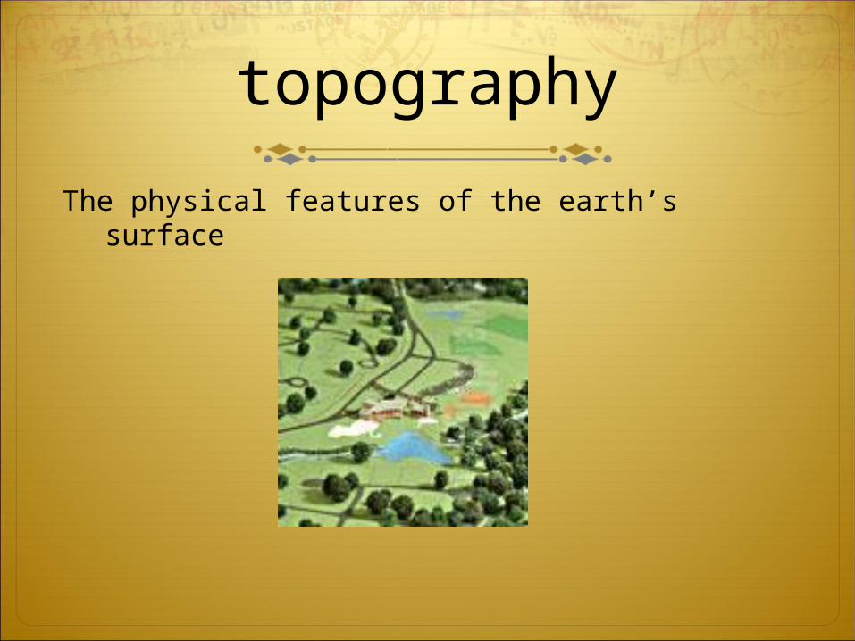
topography
The physical features of the earth’s surface
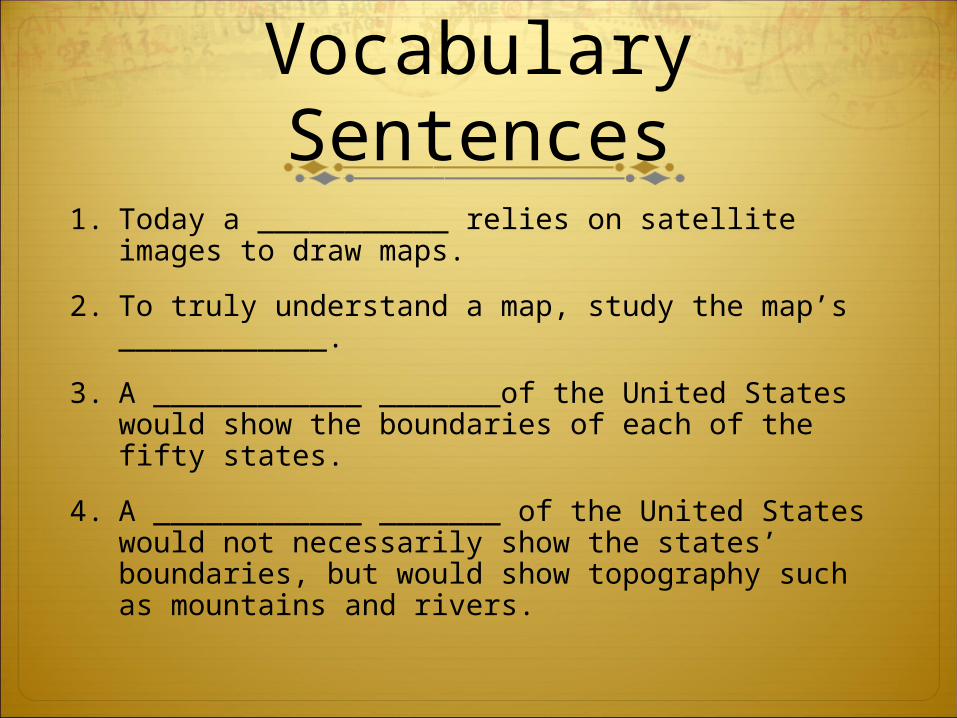
Vocabulary Sentences
1. Today a ___________ relies on satellite images to draw maps.
2. To truly understand a map, study the map’s ____________.
3. A ____________ _______of the United States would show the boundaries of each of the fifty states.
4. A ____________ _______ of the United States would not necessarily show the states’ boundaries, but would show topography such as mountains and rivers.
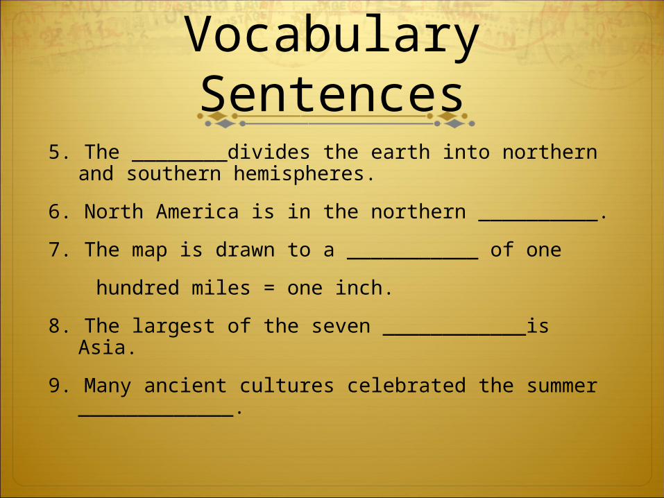
Vocabulary Sentences
5. The ________divides the earth into northern and southern hemispheres.
6. North America is in the northern __________.
7. The map is drawn to a ___________ of one
hundred miles = one inch.
8. The largest of the seven ____________is Asia.
9. Many ancient cultures celebrated the summer _____________.
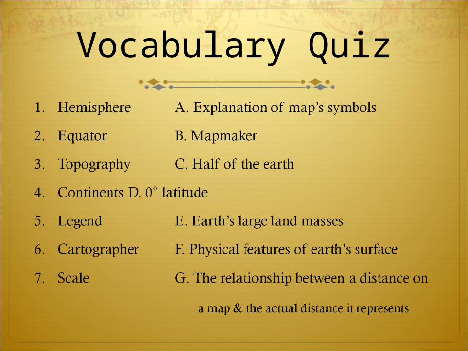
Vocabulary Quiz