Embed Size (px)
Citation preview
Chapter 2:
“Understanding Weather”

Pd 6

HumidityHumidity – the amount of water vapor in air
• Air’s ability to hold water vapor changes as the temperature of the air changes.
• Increased temp. means the air can hold more water.
• Decreased temp. means the air can hold less water.
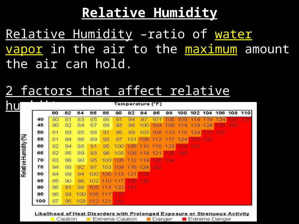
Relative Humidity
Relative Humidity –ratio of water vapor in the air to the maximum amount the air can hold.
2 factors that affect relative humidity1. Temperature and 2. Humidity
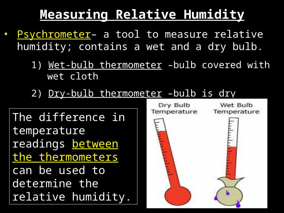
• Psychrometer– a tool to measure relative humidity; contains a wet and a dry bulb.
1) Wet-bulb thermometer –bulb covered with wet cloth
2) Dry-bulb thermometer –bulb is dry
Measuring Relative Humidity
The difference in temperature readings between the thermometers can be used to determine the relative humidity.
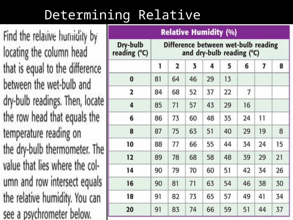
Determining Relative Humidity
Dew Point• Dew point - temperature at which
air can no longer hold any more water.
• Condensation Occurs - Gas condenses to a liquid.
• Happens when relative humidity = 100%

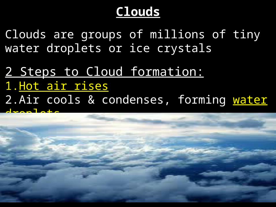
Clouds
Clouds are groups of millions of tiny water droplets or ice crystals
2 Steps to Cloud formation:1.Hot air rises2.Air cools & condenses, forming water droplets

2.) Water droplets – form when water condenses above 0 C or 32 F
1.) Ice crystals – form when water condenses below 0 C or 32 F
Clouds Are Made Of…
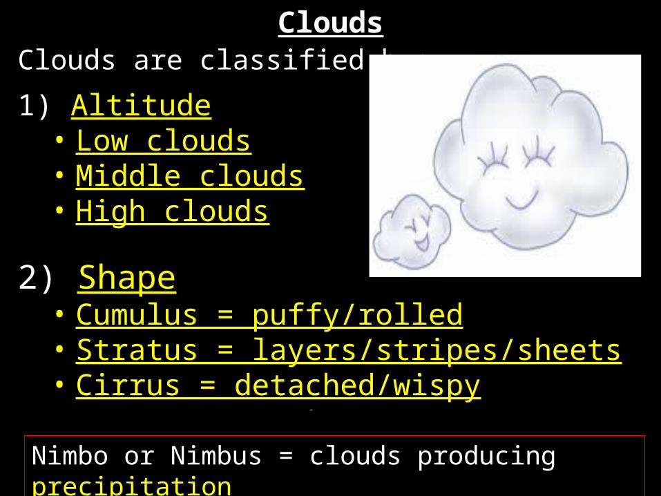
CloudsClouds are classified by:
1) Altitude• Low clouds• Middle clouds• High clouds
2) Shape• Cumulus = puffy/rolled• Stratus = layers/stripes/sheets• Cirrus = detached/wispy
Nimbo or Nimbus = clouds producing precipitation
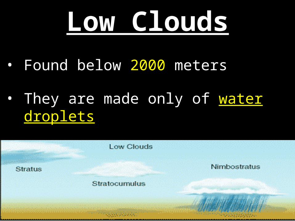
• Found below 2000 meters
• They are made only of water droplets
Low Clouds
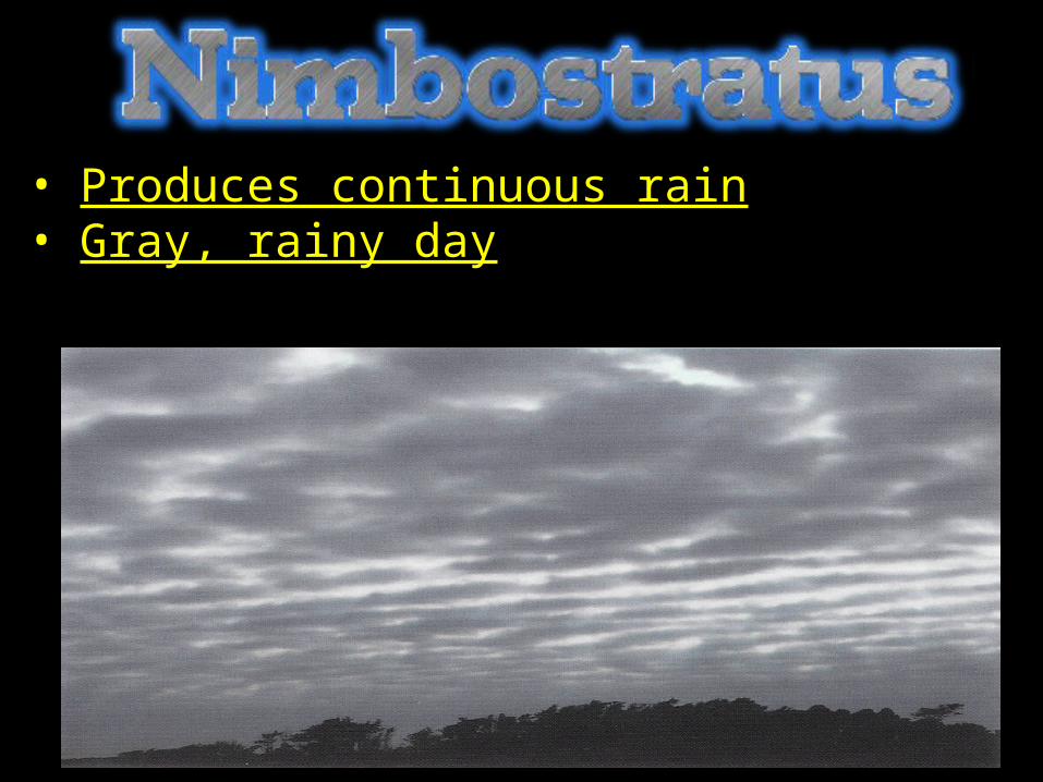
• Produces continuous rain• Gray, rainy day
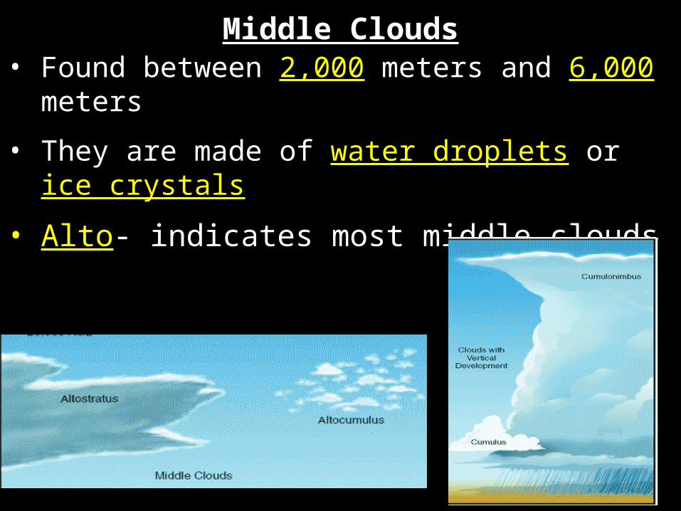
• Found between 2,000 meters and 6,000 meters
• They are made of water droplets or ice crystals
• Alto- indicates most middle clouds
Middle Clouds
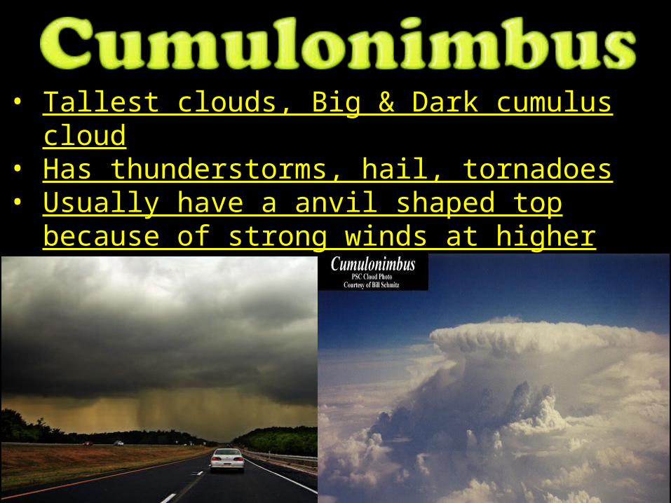
• Tallest clouds, Big & Dark cumulus cloud• Has thunderstorms, hail, tornadoes• Usually have a anvil shaped top because of
strong winds at higher altitudes

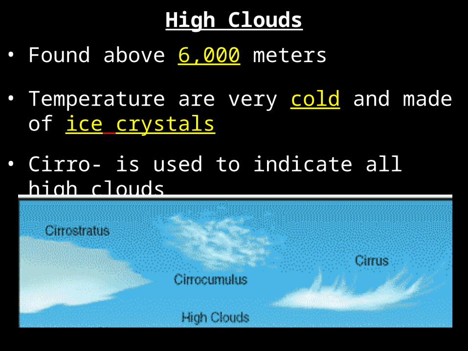
High Clouds
• Found above 6,000 meters
• Temperature are very cold and made of ice crystals
• Cirro- is used to indicate all high clouds

Recap!!!
What is weather? What does it greatly depend on?Weather is the condition of the atmosphere at a certain time and place. It depends greatly on the amount of water in the air.
What is the difference between humidity and relative humidity?
Humidity is the amount of water vapor in the air. Relative humidity is the ratio of the amount of water vapor in the air to the maximum amount the air can hold.
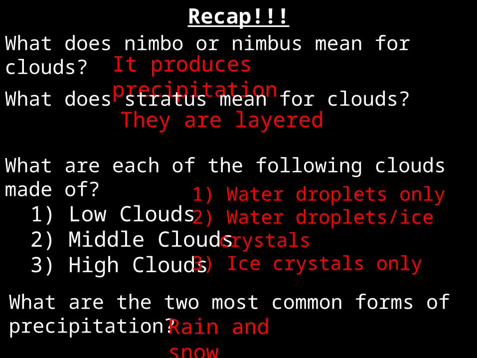
Recap!!!What does nimbo or nimbus mean for clouds?
It produces precipitationWhat does stratus mean for clouds?They are layered
What are each of the following clouds made of? 1) Low Clouds 2) Middle Clouds 3) High Clouds
1) Water droplets only2) Water droplets/ice
crystals3) Ice crystals only
What are the two most common forms of precipitation? Rain and
snow

Air Masses
Air Masses – a very large volume of air that has a certain temperature & moisture content

Fronts– the place where 2 or more air masses meet
The less dense air mass rises over more dense air mass.
Since warm air is less dense, warm air masses usually rise above cold air masses.
Fronts
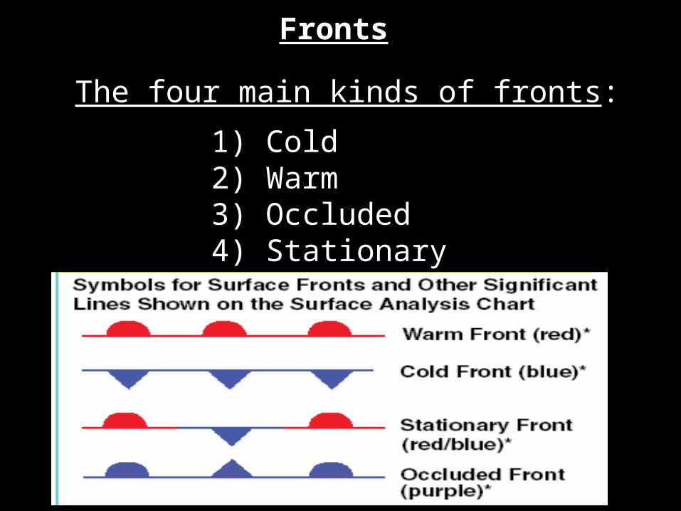
The four main kinds of fronts:
1) Cold 2) Warm 3) Occluded 4) Stationary
Fronts
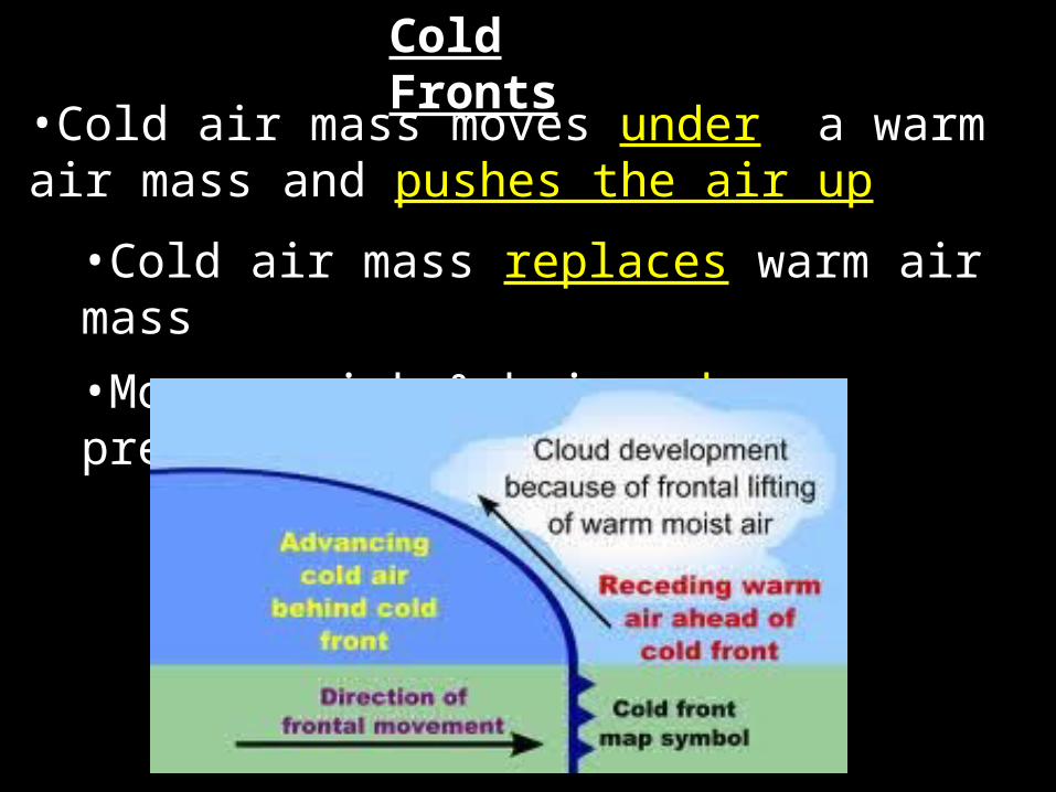
Cold Fronts
•Cold air mass moves under a warm air mass and pushes the air up
•Cold air mass replaces warm air mass
•Moves quick & brings heavy precipitation

Warm Fronts•Warm air mass moves in over a cold air
mass leaving an area.
•Warm air mass replaces cold air as it moves away.
•Brings light rain & followed by clear, warm weather

Cold Front = cold air mass pushes warm air mass awayWarm Front = warm air mass replaces a cold air mass
Visual

•Warm air mass is caught between 2 cold air masses.
•Brings cool temperatures, rain, and snow
Occluded Fronts
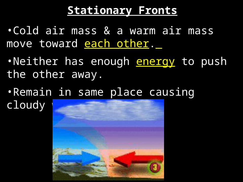
•Cold air mass & a warm air mass move toward each other.
•Neither has enough energy to push the other away.
•Remain in same place causing cloudy weather
Stationary Fronts
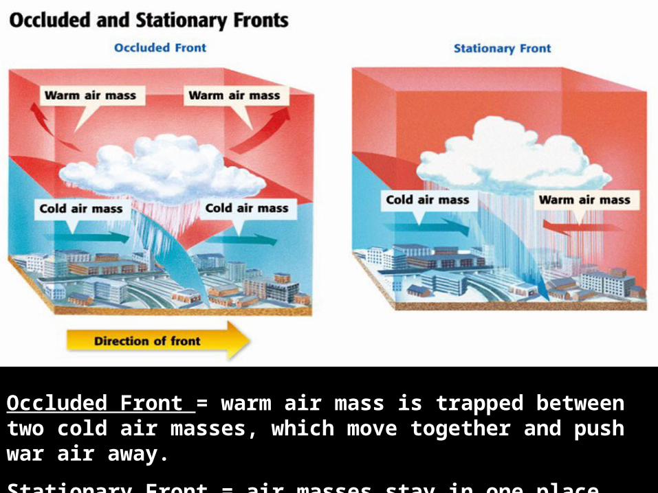
Occluded Front = warm air mass is trapped between two cold air masses, which move together and push war air away.
Stationary Front = air masses stay in one place
Pd 7

Pd 9
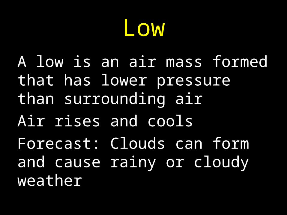
LowA low is an air mass formed that has lower pressure than surrounding airAir rises and coolsForecast: Clouds can form and cause rainy or cloudy weather
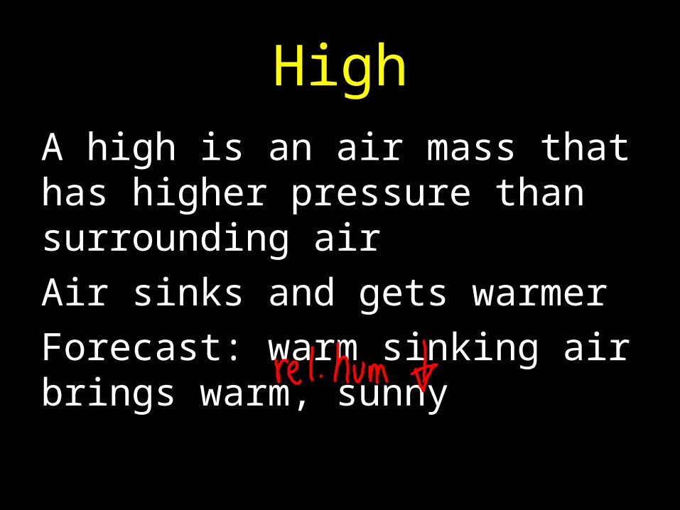
HighA high is an air mass that has higher pressure than surrounding airAir sinks and gets warmerForecast: warm sinking air brings warm, sunny
What does air mass depend on?
Recap!!!
Water Content (Moisture) & Temperature
What are the four different kinds of fronts?
Cold Fronts, Warm Fronts, Occluded Fronts, Stationary Fronts
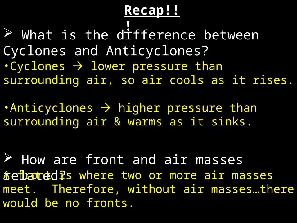
Recap!!! What is the difference between Cyclones
and Anticyclones?•Cyclones lower pressure than surrounding air, so air cools as it rises. •Anticyclones higher pressure than surrounding air & warms as it sinks.
How are front and air masses related?A front is where two or more air masses meet. Therefore, without air masses…there would be no fronts.


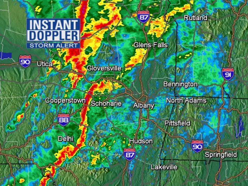


1. Thunderstorms
2. Hurricanes
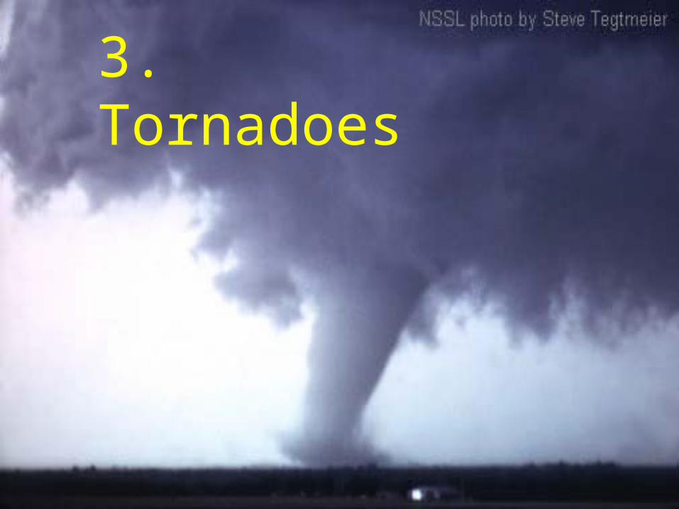
3. Tornadoes

What is the difference between a watch and a warning?
• Watch – event is likely to develop.
• Warning –event has been spotted and it is definite.
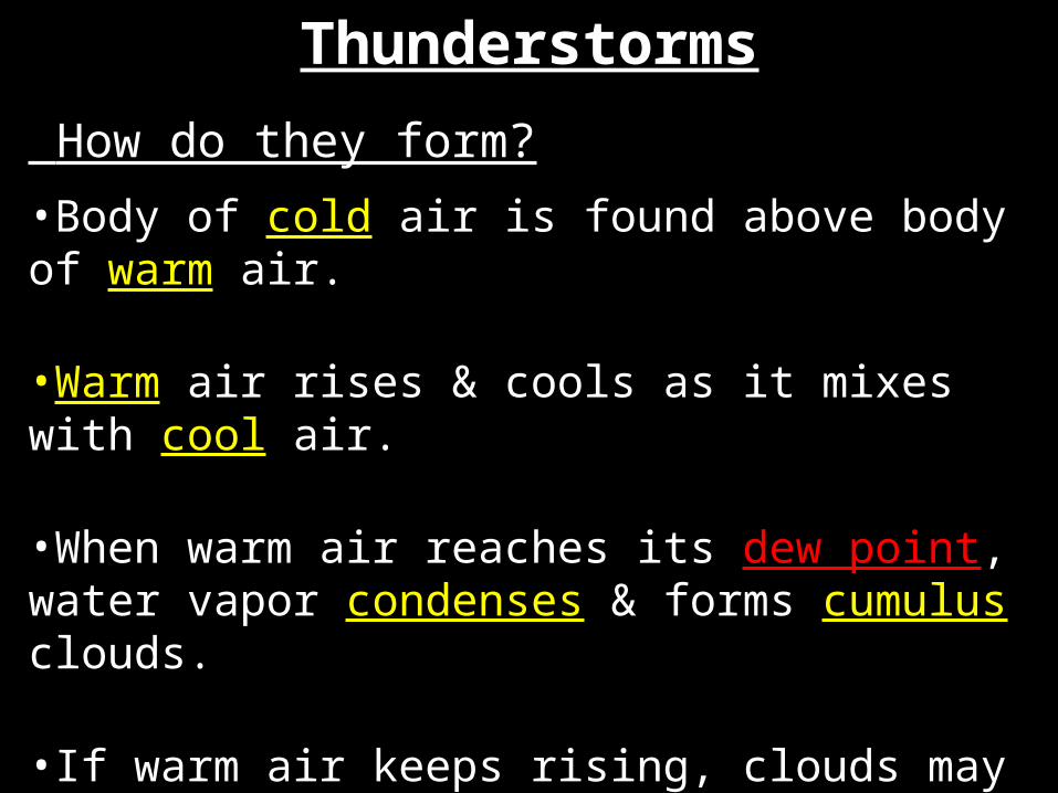
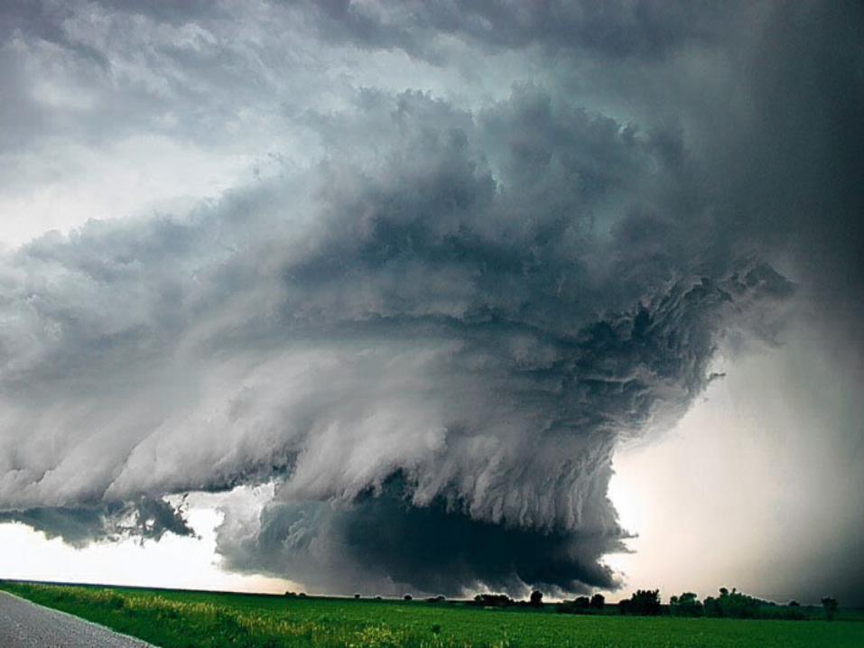
Thunderstorms
How do they form?
•Body of cold air is found above body of warm air.
•Warm air rises & cools as it mixes with cool air.
•When warm air reaches its dew point, water vapor condenses & forms cumulus clouds.
•If warm air keeps rising, clouds may become dark cumulonimbus clouds.

Number of days each year in which thunderstorms occur. Note maximum (90) in Florida.
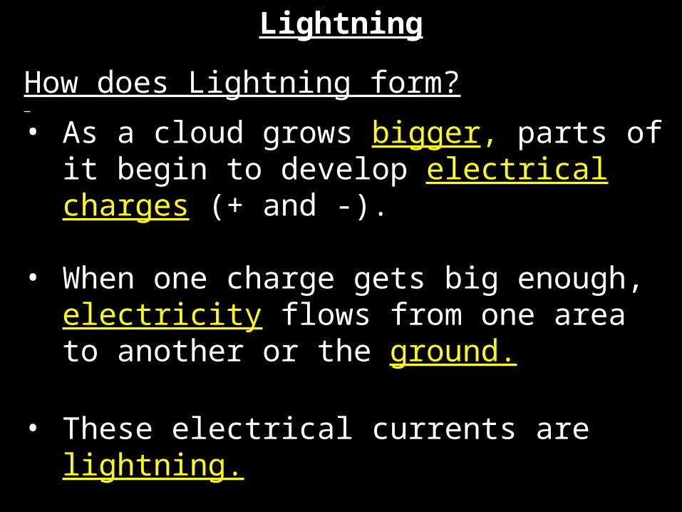
Lightning
How does Lightning form?
• As a cloud grows bigger, parts of it begin to develop electrical charges (+ and -).
• When one charge gets big enough, electricity flows from one area to another or the ground.
• These electrical currents are lightning.

Lightning Video # 1 Simulation of Lightning
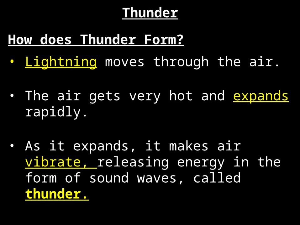
Thunder
How does Thunder Form?
• Lightning moves through the air.
• The air gets very hot and expands rapidly.
• As it expands, it makes air vibrate, releasing energy in the form of sound waves, called thunder.
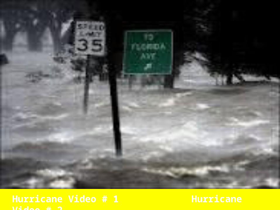
Hurricane Video # 1 Hurricane Video # 2
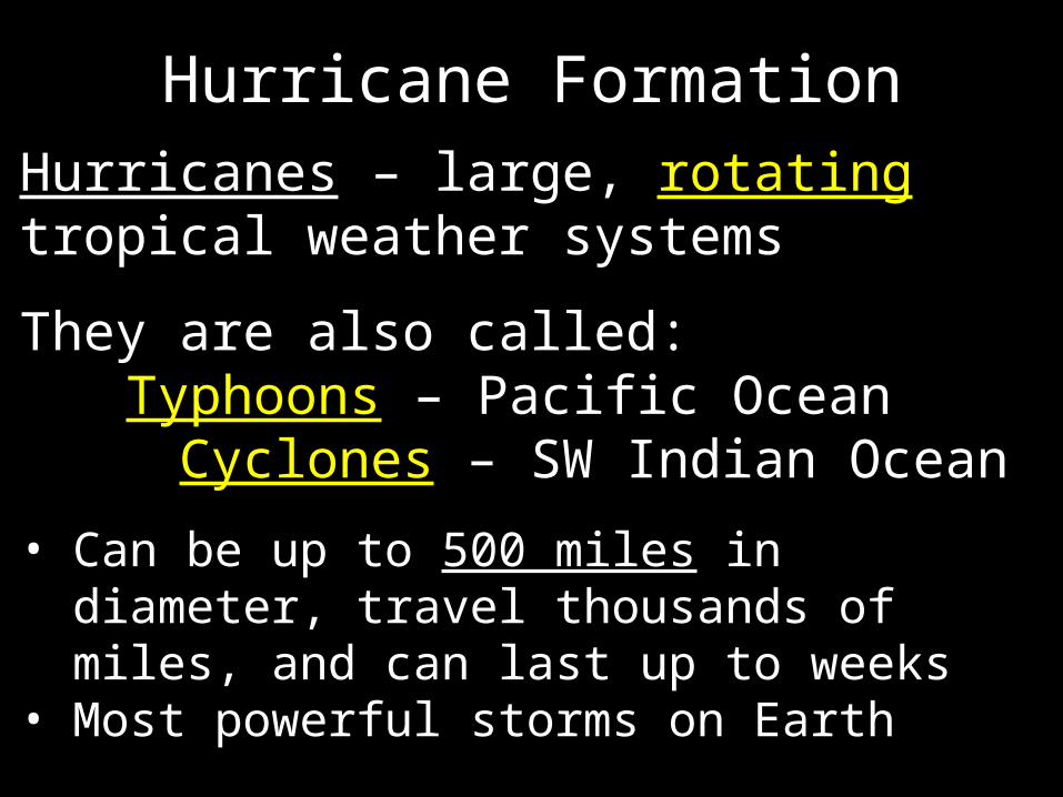
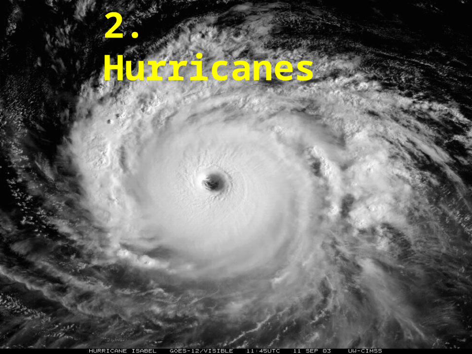
Hurricanes
Hurricanes – large, rotating tropical weather systems
They are also called:Typhoons – Pacific Ocean
Cyclones – SW Indian Ocean
Hurricane Formation
• Can be up to 500 miles in diameter, travel thousands of miles, and can last up to weeks
• Most powerful storms on Earth
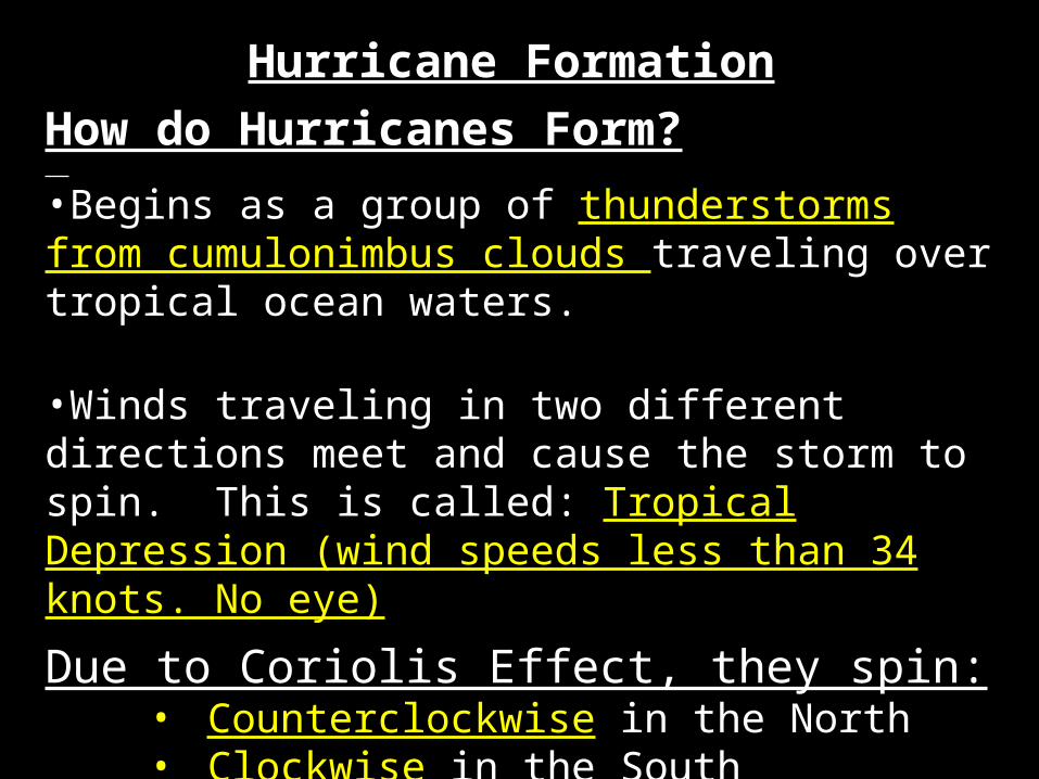
Hurricane Formation
How do Hurricanes Form?
•Begins as a group of thunderstorms from cumulonimbus clouds traveling over tropical ocean waters.
•Winds traveling in two different directions meet and cause the storm to spin. This is called: Tropical Depression (wind speeds less than 34 knots. No eye)
Due to Coriolis Effect, they spin:• Counterclockwise in the North • Clockwise in the South
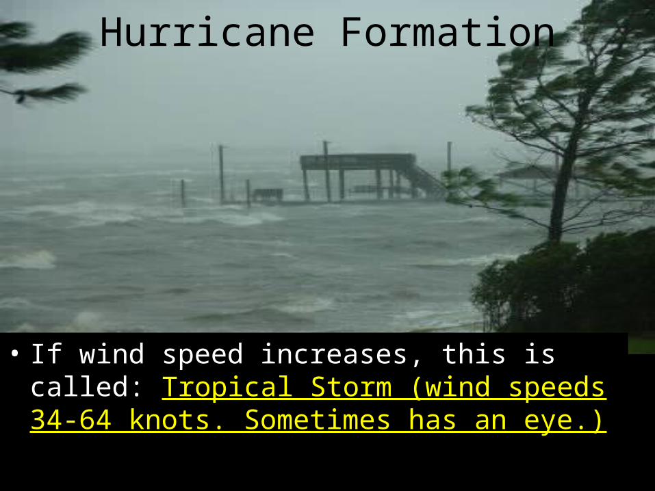
Hurricane Formation
• If wind speed increases, this is called: Tropical Storm (wind speeds 34-64 knots. Sometimes has an eye.)
Hurricane Formation• Storm picks up strength as it travels
over warm water (moist air). This is called: Hurricane (wind speeds > 64 knots. Has an eye)
• If they move over cold water or land they lose energy.
• A hurricane then becomes a tropical storm, and then a tropical depression because it is getting weaker.

Pd 3
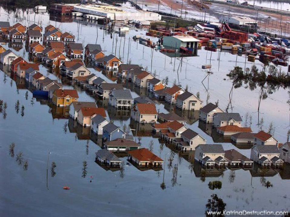
Hurricane Damage
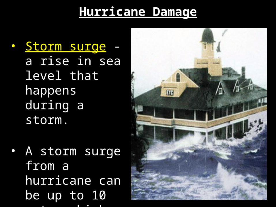
• Storm surge - a rise in sea level that happens during a storm.
• A storm surge from a hurricane can be up to 10 meters high

Pd 1


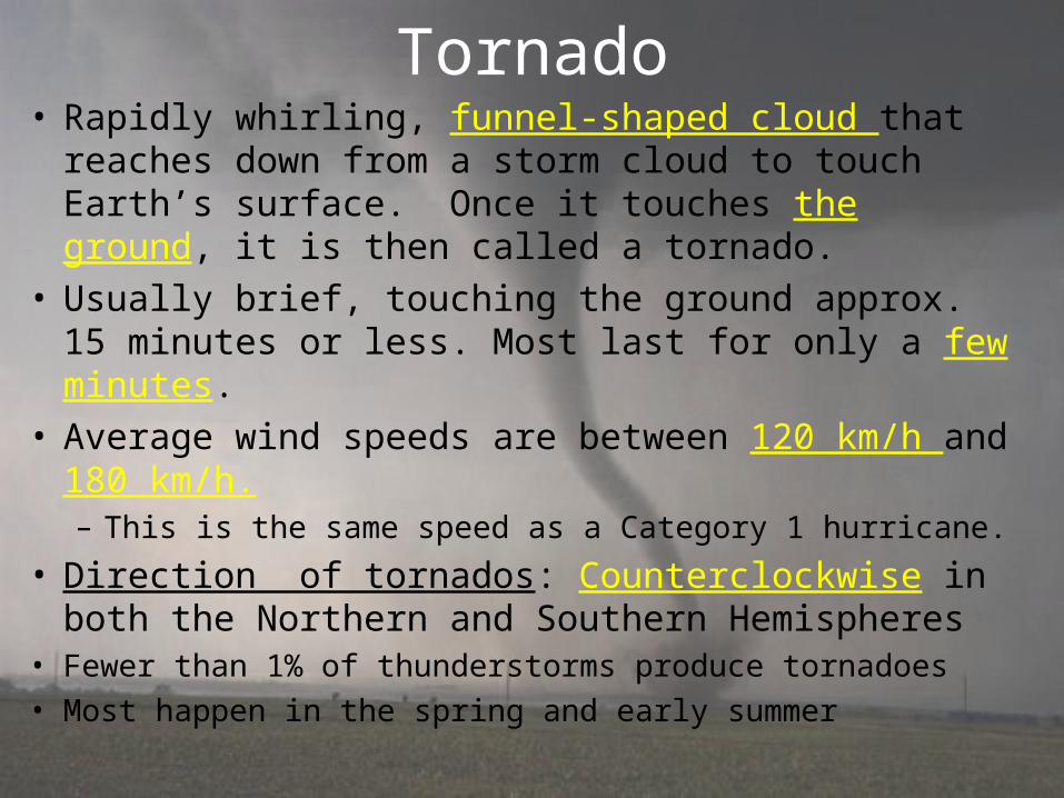
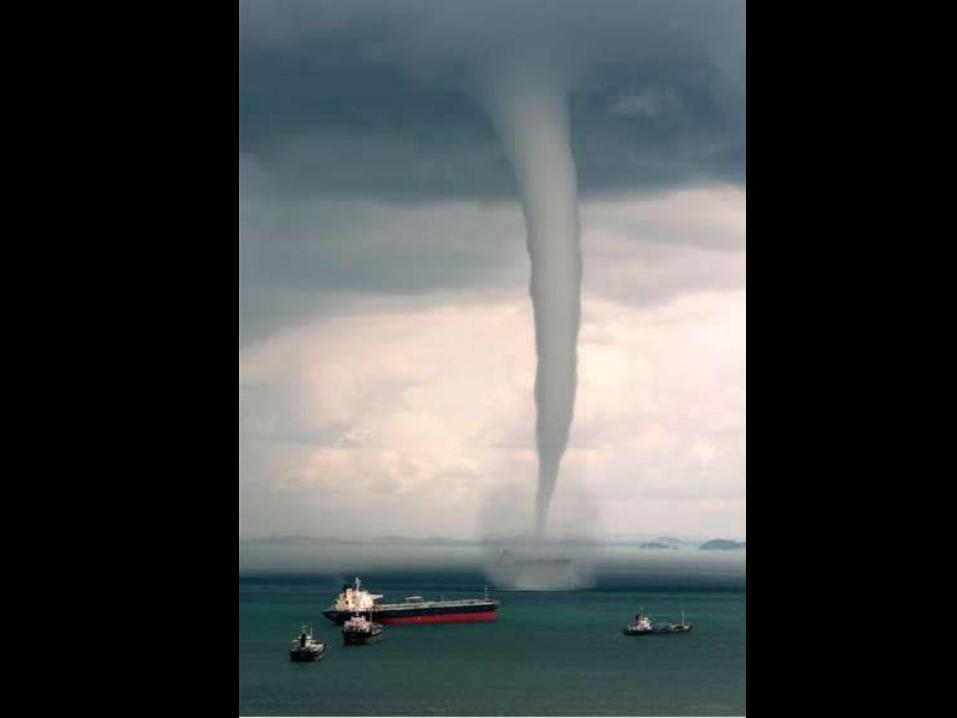
Tornado• Rapidly whirling, funnel-shaped cloud that
reaches down from a storm cloud to touch Earth’s surface. Once it touches the ground, it is then called a tornado.
• Usually brief, touching the ground approx. 15 minutes or less. Most last for only a few minutes.
• Average wind speeds are between 120 km/h and 180 km/h.– This is the same speed as a Category 1 hurricane.
• Direction of tornados: Counterclockwise in both the Northern and Southern Hemispheres
• Fewer than 1% of thunderstorms produce tornadoes• Most happen in the spring and early summer
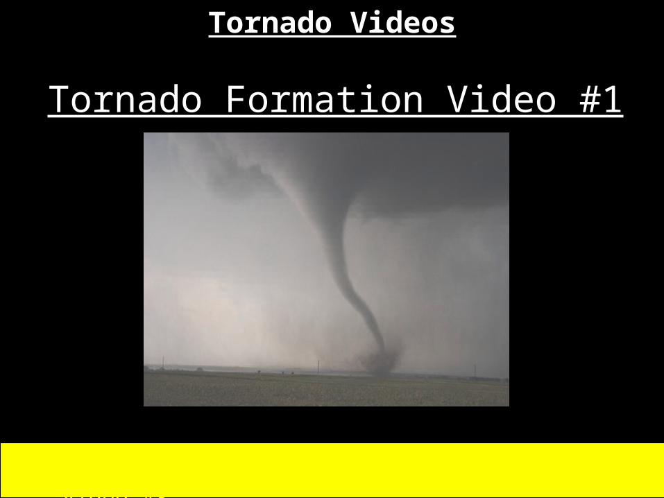
Tornado Videos
Tornado Video # 2 Tornado Video #3
Tornado Formation Video #1

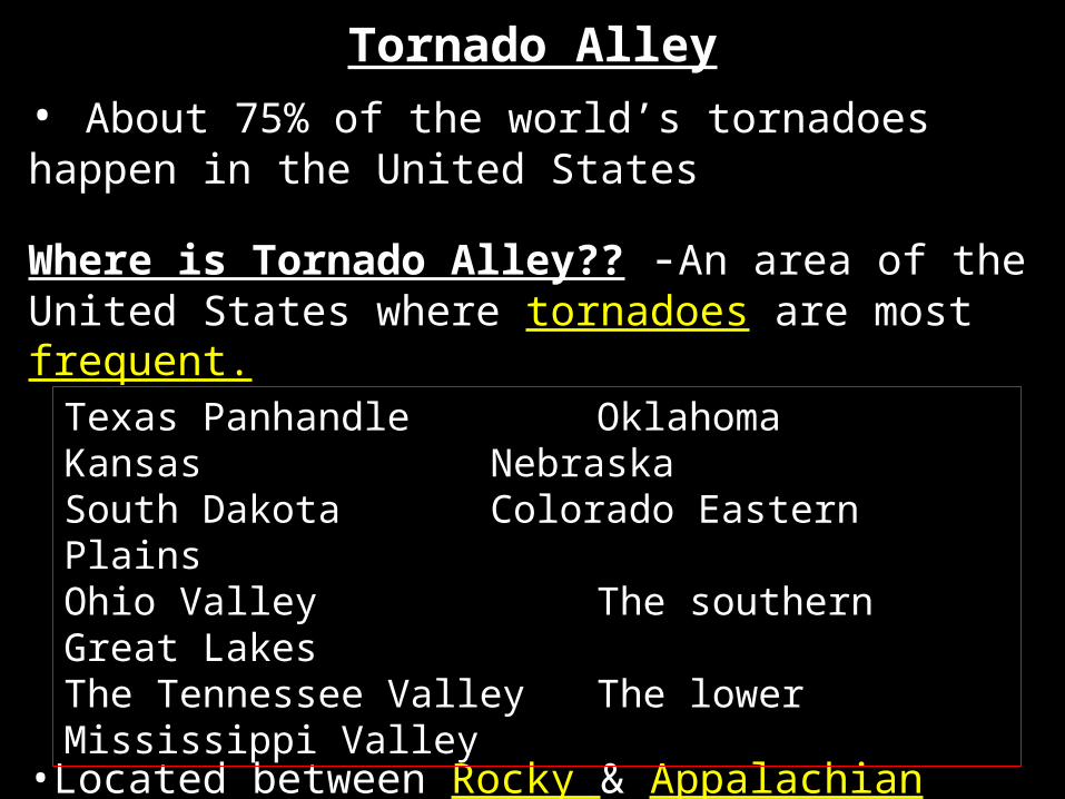
Tornado Alley• About 75% of the world’s tornadoes happen in the United States
Where is Tornado Alley?? -An area of the United States where tornadoes are most frequent.
•Located between Rocky & Appalachian Mountains
z
Texas Panhandle OklahomaKansas NebraskaSouth Dakota Colorado Eastern PlainsOhio Valley The southern Great LakesThe Tennessee ValleyThe lower Mississippi Valley
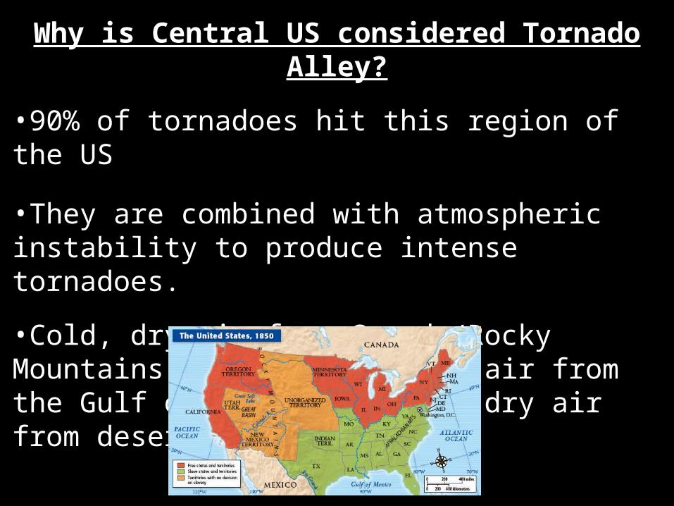
Why is Central US considered Tornado Alley?
•90% of tornadoes hit this region of the US
•They are combined with atmospheric instability to produce intense tornadoes.
•Cold, dry air from Canada/Rocky Mountains meets warm, moist air from the Gulf of Mexico and hot, dry air from deserts.

A map Tornado Alley outlined. This area has been defined as the area where there has been approximately at least one significant tornado per day, per decade.

Recap!!!Why do thunder and lightning usually
happen together?When lightning moves through the air, the air gets very hot and expands rapidly. This makes the air vibrate which releases energy in the form of sound waves, called thunder.
Where do most tornadoes happen. Why?90% of tornados occur in Tornado Alley. This is a result of when the cold, dry air from Canada and the Rocky Mountains meets warm, moist air from the Gulf of Mexico and hot, dry air from deserts, which combines with atmospheric instability to produce intense tornadoes.
What type of energy powers hurricanes? How do hurricanes lose energy?
They are powered by solar energy. The sun’s energy causes ocean water to evaporate. When they move over cold water or land they lose energy.
Recap!!!
1) warm, moist air near Earth’s surface2) an unstable area of the atmosphere
Which two conditions are required for thunderstorms to form:
A storm surge is a rise in sea level that happens during a storm. A hurricane can cause a storm surge to be 8 m high.
What is a storm surge? Which type of severe storm is most commonly associated with this?