Embed Size (px)
Citation preview

Changing Projections in ArcMap
Egeo 250
1ArcMap setting a projection
Investigating Projections
Through the help commands you can learn more about projections and how the are created.
2ArcMap setting a projection
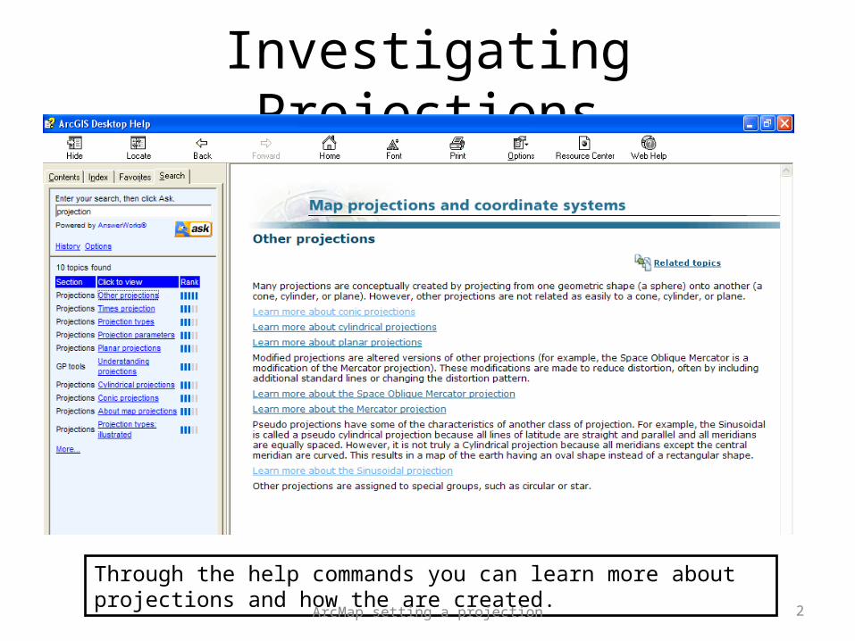
Open the properties for Layers
3ArcMap setting a projection
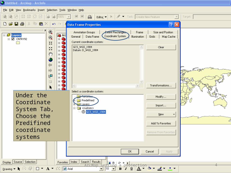
Under the Coordinate System Tab, Choose the Predifined coordinate systems
4ArcMap setting a projection

Global Projected Coordinate Systems
5ArcMap setting a projection
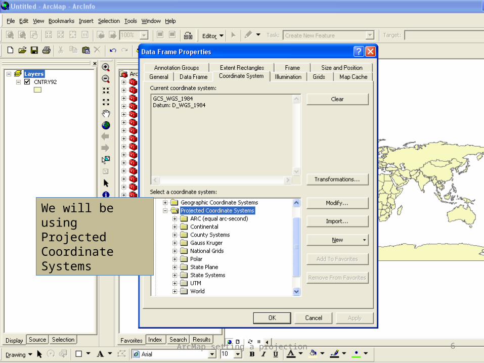
We will be using Projected Coordinate Systems
6ArcMap setting a projection
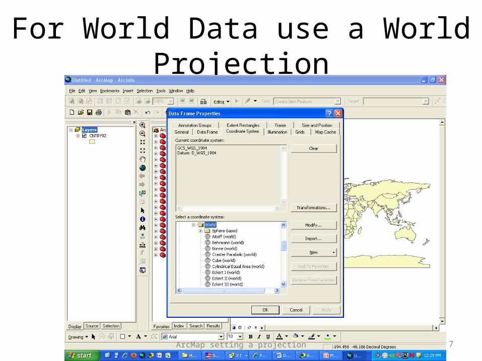
For World Data use a World Projection
7ArcMap setting a projection

Try a Mercator (Coast Lines & Direction) Projection
8ArcMap setting a projection
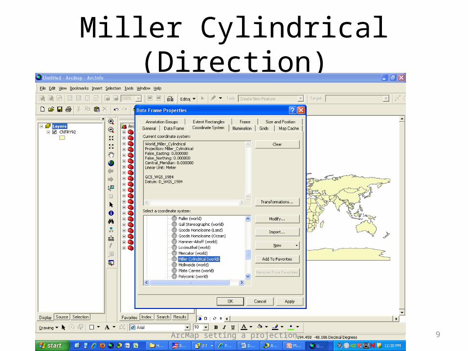
Miller Cylindrical (Direction)
9ArcMap setting a projection
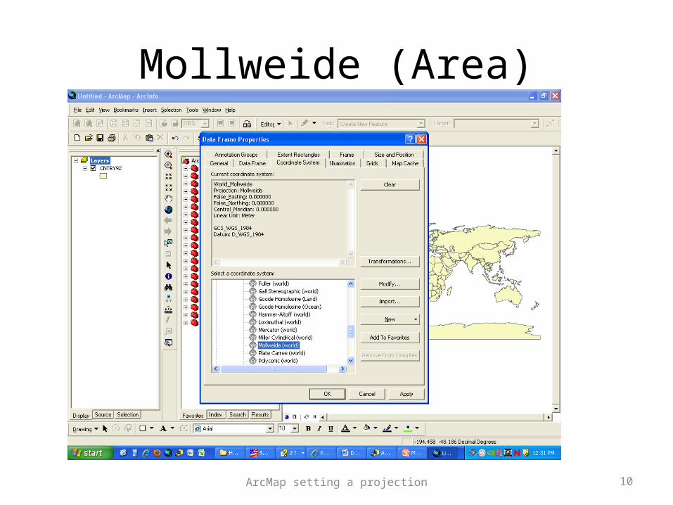
Mollweide (Area)
10ArcMap setting a projection
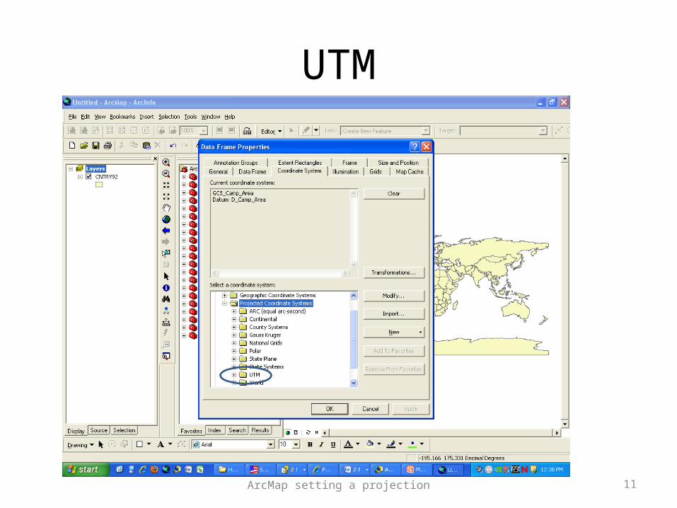
UTM
11ArcMap setting a projection
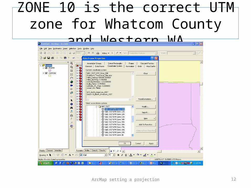
ZONE 10 is the correct UTM zone for Whatcom County and Western WA
12ArcMap setting a projection
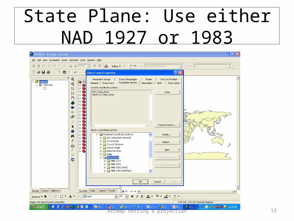
State Plane: Use either NAD 1927 or 1983
13ArcMap setting a projection
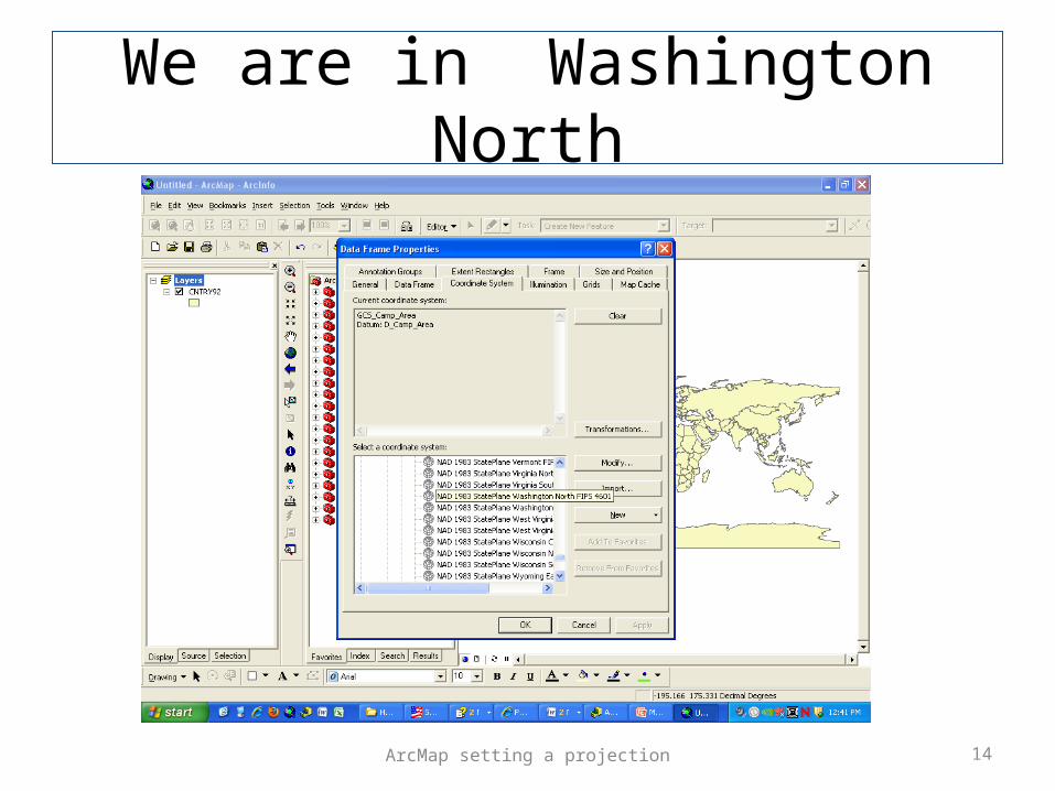
We are in Washington North
14ArcMap setting a projection

To find true distance on the face of the earth use a Great Circle Measurment
15ArcMap setting a projection
Note that this web page uses N/S on Lat and W/E on Long ESRI uses +/- for N/S and -/+ for W/E you need to make these adjustments
http://williams.best.vwh.net/gccalc.htm