Embed Size (px)
Citation preview
__3605 3377 | 3605 3322 __3605 3398 | 3605 3399
http://www.formwelkin.com/civil3d
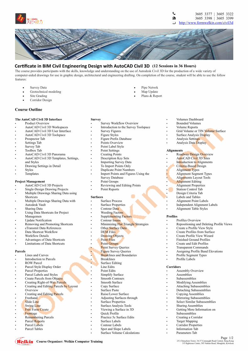
(12 Sessions in 36 Hours) The course provides participants with the skills, knowledge and understanding on the use of Autodesk Civil 3D for the production of a wide variety of computer-aided drawings for use in graphic design, architectural and engineering drafting. On completion of the course, student will be able to use the follow features:
Survey Data Geotechnical modeling Site Grading Corridor Design
Pipe Netwrk Map Update Plans & Report
Course Outline
Page 1/2 2/F, Chinachem Tower, 34-37 Connaught Road Central, Hong Kong
3/F Righteous Centre, 585 Nathan Road, Mongkok, Kowloon Course Organizer: Welkin Computer Training
The AutoCAD Civil 3D Interface • Product Overview • AutoCAD Civil 3D Workspaces • AutoCAD Civil 3D User Interface • AutoCAD Civil 3D Toolspace • Prospector Tab • Settings Tab • Survey Tab • Toolbox Tab • AutoCAD Civil 3D Panorama • AutoCAD Civil 3D Templates, Settings,
and Styles • Drawing Settings in Detail • Styles • Templates Project Management • AutoCAD Civil 3D Projects • Single-Design Drawing Projects • Multiple Drawings Sharing Data using
Shortcuts • Multiple Drawings Sharing Data with
Autodesk Vault • Sharing Data • Using Data Shortcuts for Project
Managemen • Update Notification • Removing and Promoting Shortcuts • eTransmit Data References • Data Shortcut Workflow • Workflow Details • Advantages of Data Shortcuts • Limitations of Data Shortcuts Parcels • Lines and Curves • Introduction to Parcels • ROW Parcel • Parcel Style Display Order • Parcel Properties • Parcel Labels and Styles • Create Parcels from Objects • Creating Right-of-Way Parcels • Creating and Editing Parcels by Layout
Overview • Creating and Editing Parcels • Freehand • Slide Line • Swing Line • Free Form Create • Frontage • Renumbering Parcels • Parcel Reports • Parcel Labels • Parcel Tables
Survey • Survey Workflow Overview • Introduction to the Survey Toolspace • Survey Figures • Figure Styles • Figure Prefix Database • Points Overview • Point Label Style • Point Settings • Creating Points • Description Key Sets • Importing Survey Data • To Import Points Only • Duplicate Point Numbers • Import Points and Figures Using the
Survey Database • Point Groups • Reviewing and Editing Points • Point Reports Surfaces • Surface Process • Surface Properties • Contour Data • Weeding Factors • Supplementing Factors • Contour Issues • Minimizing Flat Triangle Strategies • Other Surface Data • DEM Files • Drawing Objects • Point Files • Point Groups • Point Survey Queries • Figure Survey Queries • Breaklines and Boundaries • Breaklines • Surface Editing • Line Edits • Point Edits • Simplify Surface • Smooth Contours • Smooth Surface • Copy Surface • Surface Paste • Raise/Lower Surface • Adjusting Surfaces through • Surface Properties • Surface Analysis Tools • Viewing a Surface in 3D • Quick Profile • Practice 5c Surface Edits • Surface Labels • Contour Labels • Spot and Slope Labels • Surface Volume Calculations
• Volumes Dashboard • Bounded Volumes • Volume Reports • Grid Volume or TIN Volume Surface • Surface Analysis Display • Analysis Settings • Analysis Data Display Alignments • Roadway Design Overview • AutoCAD Civil 3D Sites • Introduction to Alignments • Criteria-Based Design • Alignment Types • Alignment Segment Types • Alignments Layout Tools • Alignment Editing • Alignment Properties • Station Control Tab • Design Criteria Tab • Labels and Tables • Alignment Point Labels • Independent Alignment Labels • Alignment Table Styles Profiles • Profiles Overview • Repositioning and Deleting Profile Views • Create a Profile View Style • Create Profiles from Surface • Create Profile View Wizard • Finished Ground Profiles • Create and Edit Profiles • Transparent Commands • Assigning Profile Band Elevations • Profile Segment Types • Profile Labels Corridors • Assembly Overview • Assemblies • Subassemblies • Modifying Assemblies • Attaching Subassemblies • Detaching Subassemblies • Copying Assemblies • Mirroring Subassemblies • Select Similar Subassemblies • Sharing Assemblies • Getting More Information on
Subassemblies • Creating a Corridor • Target Mapping • Corridor Properties • Information Tab • Parameters Tab
Cer�ficate in BIM Civil Engineering Design with AutoCAD Civil 3D
__3605 3377 | 3605 3322 __3605 3398 | 3605 3399
http://www.formwelkin.com/civil3d
Page 2/2 2/F, Chinachem Tower, 34-37 Connaught Road Central, Hong Kong
3/F Righteous Centre, 585 Nathan Road, Mongkok, Kowloon Course Organizer: Welkin Computer Training
• Codes • Feature Lines • Slope Patterns • Designing Intersections • General Tab • Geometry Details Tab • Corridor Regions Tab • Corridor Surfaces • Overhang Correction • Surface Boundaries • Corridor Section Review and Edit • Corridor Visualization Grading • Grading Overview • Feature Lines • Feature Line Contextual Tab • Elevation Editor • Grading Tools • Grading Creation Tools Toolbar • Modifying AutoCAD Civil 3D Grading • Grading Styles • Feature Line Labels • Grading Criteria • Grading Criteria Set • Grading Volumes Pipe Networks • Pipes Overview • Pipes Configuration • Creating Pipe Networks by Objects • The Network Layout Toolbar • Creating Pipe Networks by Layout • Network Editing • Pipe (and Structure) Properties • Swap Part • Connect/Disconnect From Part • Annotating Pipe Networks • Pipe Networks in Sections • Pipe Network Reports and Tables • Pressure Pipe Networks Quantity Take Off/Sections • Sample Line Groups • Modifying Sample Line Groups • Section Volume Calculations • Earthwork Volumes • Mass Haul • Material Volumes • Quantity Takeoff Criteria • Define Materials • Pay Items • Section Views • Section View Wizard Plan Production • Plan Production Tools • Overview • Plan Production Objects • View Frames • View Frame Groups • Match Lines • Plan Production Object Edits • Name • Description • Object style • View Frame Geometry Properties • Edits • Match Line Geometry • Properties Edits • Creating Sheets • Sheet Sets • Structuring Sheet Sets • Editing Sheet Sets • Sheet Set Manager Properties
Project Base Feautre studies: Grading Introduction to Grading • Overview • Parts of the Grading Object • Grading Workflow • Tools in AutoCAD Civil 3D • Settings and Defaults • Feature Line Styles • Grading Group Styles • Grading Criteria Sets • Grade to Distance • Grade to Elevation • Grade to Relative Elevation • Grade to Surface • Surface Styles • Sites Overview • Sites for Design Options • Creating Sites Parcel Grading • Setting Parcel Line Elevations • Site Properties • Move/Copy Parcels to Another Site • Edit Elevations Panel • Retaining Walls • Editing Surfaces • Feature Line Interactions With Parcel
Lines Building Pad Design • Feature Lines Overview • Create Feature Lines from Objects • Grading Creation Tools • Grading Groups • Grading Setup • Create Grading • Grading Infill • Editing the Grading • Delete Grading Objects • Modify Grading Object Criteria • Grading Volume Tools • Calculate Volumes • Balance Volumes Parking Lot Design • Draw Feature Lines • Create a Temporary Surface • Stepped Offsets • Copy or Move Feature Lines from One
Site to Another • Create a Transitional Grading Group • Practice 4b Create Stepped • Offsets and Transitional • Gradings • Create a Grading Surface • Add Feature Lines to a Grading Surface Pond Design • Feature Line Review • Feature Line Contextual Tab • Edit Elevations • Create Feature Lines From Corridors • Edit Geometry • Creating Complex Grading Groups • Grade to Elevation • Grade to Relative Elevation • Grade to Distance • Grade to Surface Lagoon Grading • Alignments • Profiles • Create Grading Assemblies • Link Subassemblies
• Daylight Subassemblies • Creating Complex Corridors • Baselines • Regions • Create Complex Corridors • Modify Corridor Grading • Grip Editing • Modify Regions • Modify Corridor • Modify Corridor Sections Combining Surfaces • AutoCAD Civil 3D Projects • Single-Design Drawing Projects • Multiple Drawings Sharing Data using
Shortcuts • Multiple Drawings Sharing Data with
Autodesk Vault • Sharing Data • Data Shortcuts • Update Notification • Removing and Promoting Shortcuts • eTransmit Data References • Data Shortcut Workflow • Workflow Details • Advantages of Data Shortcuts • Limitations of Data Shortcuts Visualization • Introduction to the 3D Modeling
Workspace • 3D Ribbon Panels • Basic 3D Viewing Tools • Preset 3D Views • Orbiting in 3D • Using Visual Styles • 3D Navigation Tools • ViewCube • SteeringWheel • Working with Materials • Using the Materials Browser Libraries • Adding Materials • Attaching Materials by Layer • Materials Editor • Texture Editor • Specifying Light Sources • Default Lighting • Sunlight • User-Defined Lights • Modifying Lights • Rendering Concepts • Adjusting the Exposure • Creating a Sense of Distance • Advanced Render Settings
Cer�ficate in BIM Civil Engineering Design with AutoCAD Civil 3D - Course Outline