Embed Size (px)
Citation preview

Census = building blocks
• Data - every 10 years from everyone– Long form (sample) or short form
(100% data)• Population
– gender, race, age, education
• Money – income, occupation, commute time
• Housing – own/rent; electricity, bathrooms, #
living there
Hint: Look at available tables to know what info available now, historically
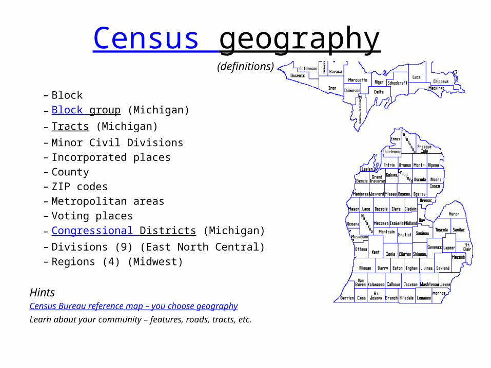
Census geography (definitions)
– Block– Block group (Michigan)– Tracts (Michigan)– Minor Civil Divisions – Incorporated places– County– ZIP codes– Metropolitan areas– Voting places– Congressional Districts (Michigan)– Divisions (9) (East North Central)– Regions (4) (Midwest)
HintsCensus Bureau reference map – you choose geographyLearn about your community – features, roads, tracts, etc.
Investigative Reporters & Editors
Mapping Boot Camp - $1,500 software *
Census stories from IRE members:• Emergency services: "When a heart attack dropped Jim Wagner on
the floor of a Memphis pool hall, it took an ambulance half an hour to arrive." The Commercial Appeal in Memphis, Tenn., investigated why it took so long for an ambulance to arrive despite more than a half-dozen people calling 911 to report the heart attack
• Minorities on the move: The New York Times used mapping software and census data to show new patterns in the movement of minority groups. A county by county analysis shows what motivates certain groups to move to certain
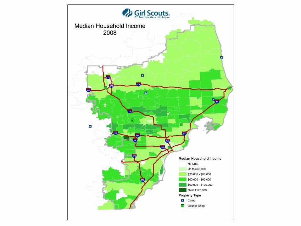
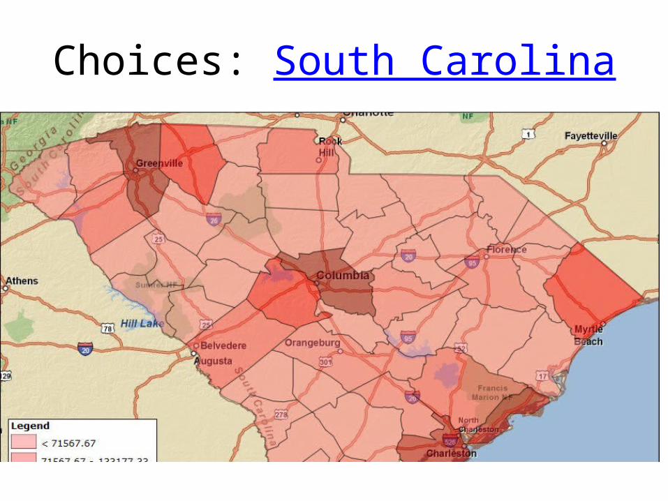
Median household income
What is it? – theme population
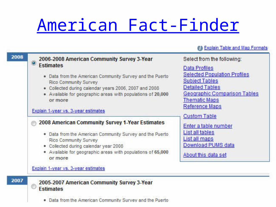
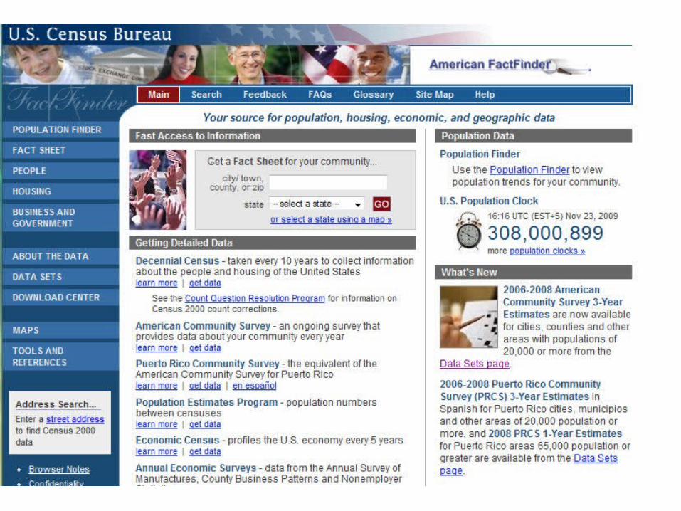
American Fact-Finder
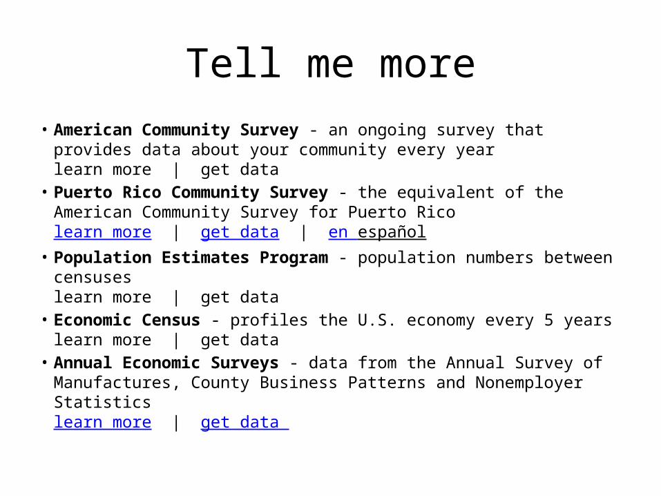
Tell me more• American Community Survey - an ongoing survey that provides data
about your community every yearlearn more | get data
• Puerto Rico Community Survey - the equivalent of the American Community Survey for Puerto Ricolearn more | get data | en español
• Population Estimates Program - population numbers between censuseslearn more | get data
• Economic Census - profiles the U.S. economy every 5 yearslearn more | get data
• Annual Economic Surveys - data from the Annual Survey of Manufactures, County Business Patterns and Nonemployer Statisticslearn more | get data
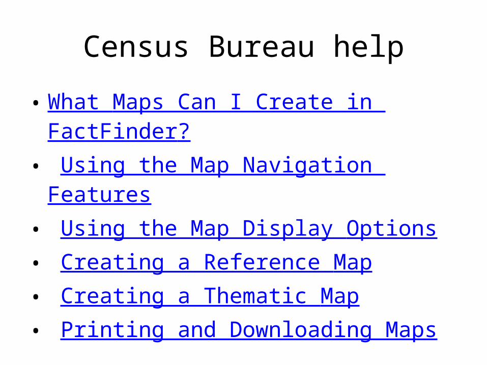
Census Bureau help
• What Maps Can I Create in FactFinder?• Using the Map Navigation Features• Using the Map Display Options• Creating a Reference Map• Creating a Thematic Map• Printing and Downloading Maps

Michigan
• Center for Shared Solutions and Technology Partnerships
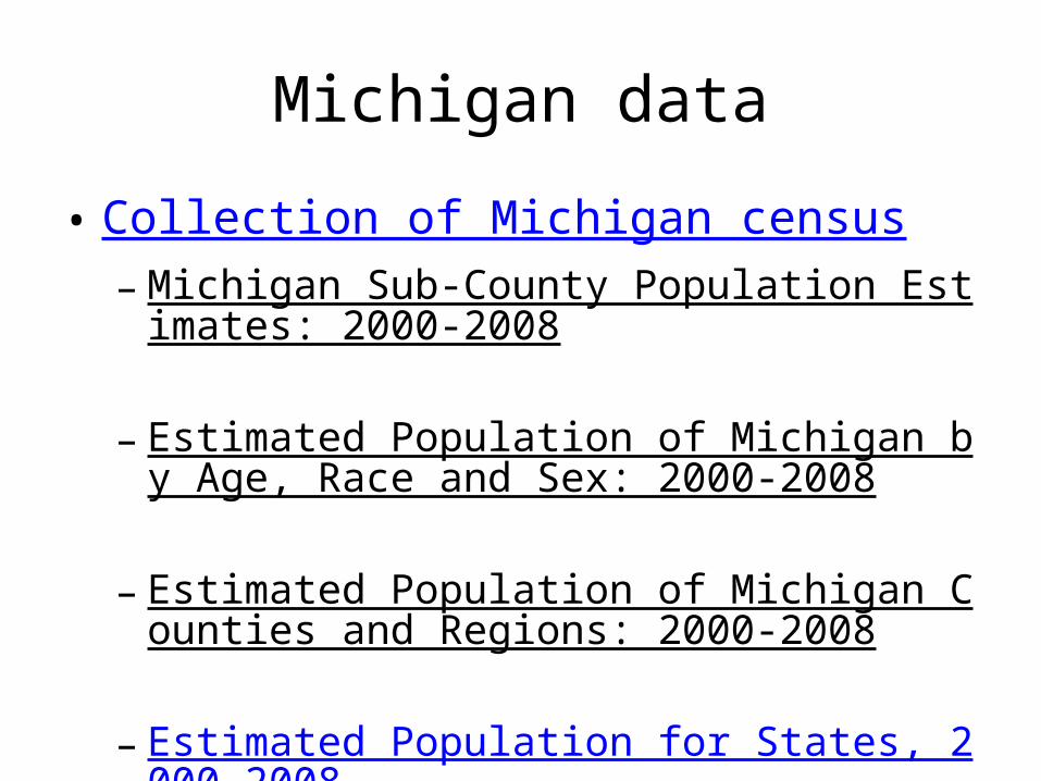
Michigan data
• Collection of Michigan census– Michigan Sub-County Population Estimates: 2000-
2008
– Estimated Population of Michigan by Age, Race and Sex: 2000-2008
– Estimated Population of Michigan Counties and Regions: 2000-2008
– Estimated Population for States, 2000-2008
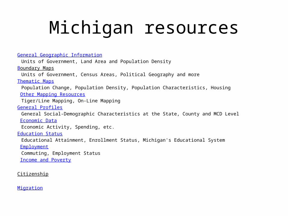
Michigan resourcesGeneral Geographic Information
Units of Government, Land Area and Population DensityBoundary Maps
Units of Government, Census Areas, Political Geography and more Thematic Maps
Population Change, Population Density, Population Characteristics, Housing Other Mapping Resources
Tiger/Line Mapping, On-Line MappingGeneral Profiles
General Social-Demographic Characteristics at the State, County and MCD Level Economic Data
Economic Activity, Spending, etc. Education Status
Educational Attainment, Enrollment Status, Michigan's Educational System Employment
Commuting, Employment Status Income and Poverty
Citizenship
Migration