Embed Size (px)
Citation preview
Using KML to Display Scientific Data in
GoogleEarthBy Jim Graham
May, 2008
1. How GoogleEarth Works2. Display Excel Data in GoogleEarth3. Creating KML Files for GoogleEarth
Contents
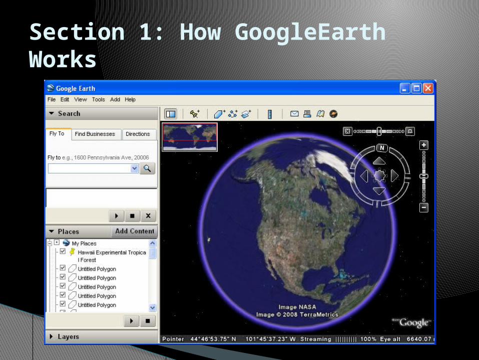
Section 1: How GoogleEarth Works
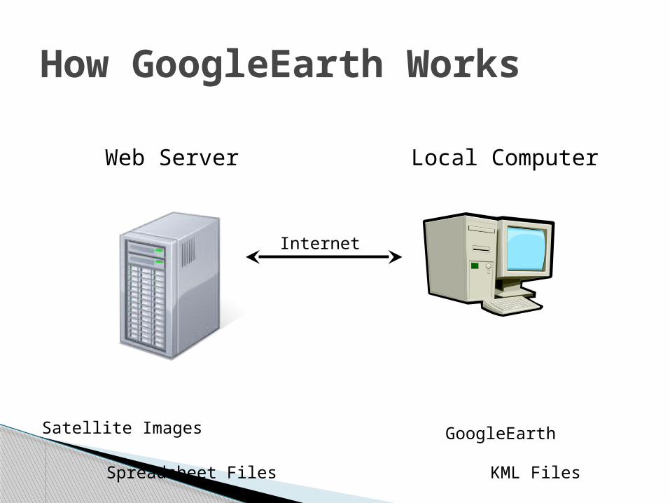
How GoogleEarth Works
Local ComputerWeb Server
Internet
GoogleEarth
KML Files
Satellite Images
Spreadsheet Files
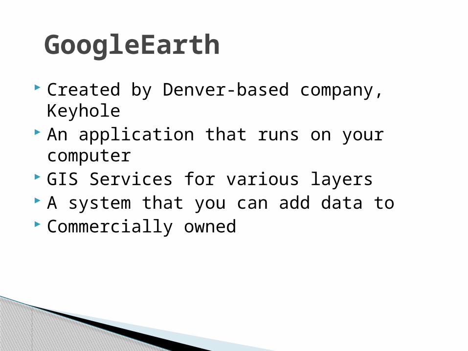
Created by Denver-based company, Keyhole An application that runs on your computer GIS Services for various layers A system that you can add data to Commercially owned
GoogleEarth
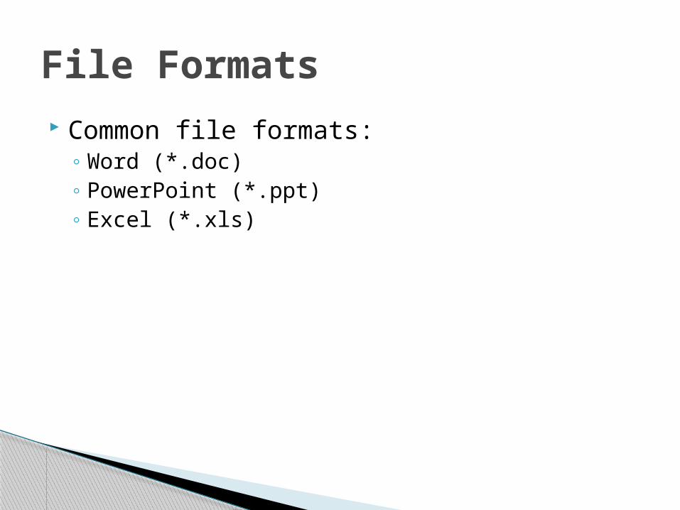
Common file formats:◦ Word (*.doc)◦ PowerPoint (*.ppt)◦ Excel (*.xls)
File Formats
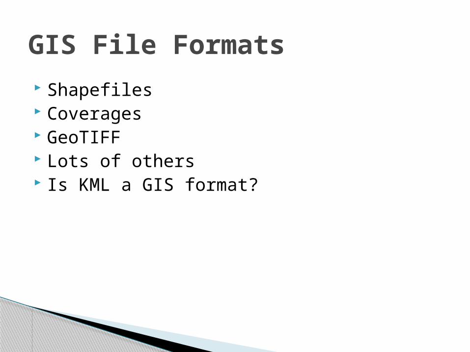
Shapefiles Coverages GeoTIFF Lots of others Is KML a GIS format?
GIS File Formats
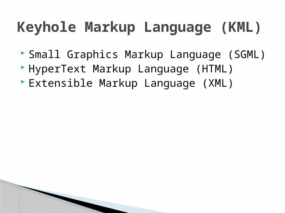
Small Graphics Markup Language (SGML) HyperText Markup Language (HTML) Extensible Markup Language (XML)
Keyhole Markup Language (KML)
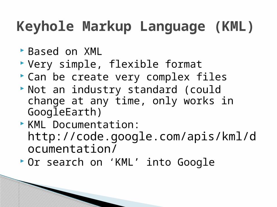
Based on XML Very simple, flexible format Can be create very complex files Not an industry standard (could change at
any time, only works in GoogleEarth) KML Documentation:
http://code.google.com/apis/kml/documentation/
Or search on ‘KML’ into Google
Keyhole Markup Language (KML)
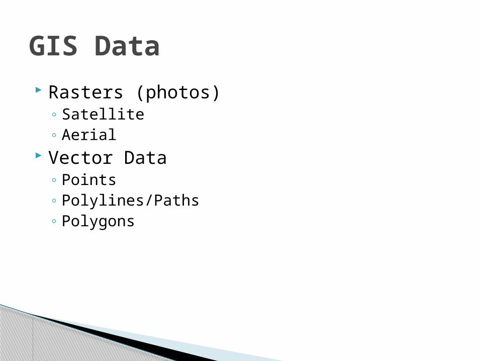
Rasters (photos)◦ Satellite◦ Aerial
Vector Data◦ Points◦ Polylines/Paths◦ Polygons
GIS Data
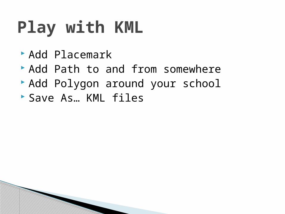
Add Placemark Add Path to and from somewhere Add Polygon around your school Save As… KML files
Play with KML
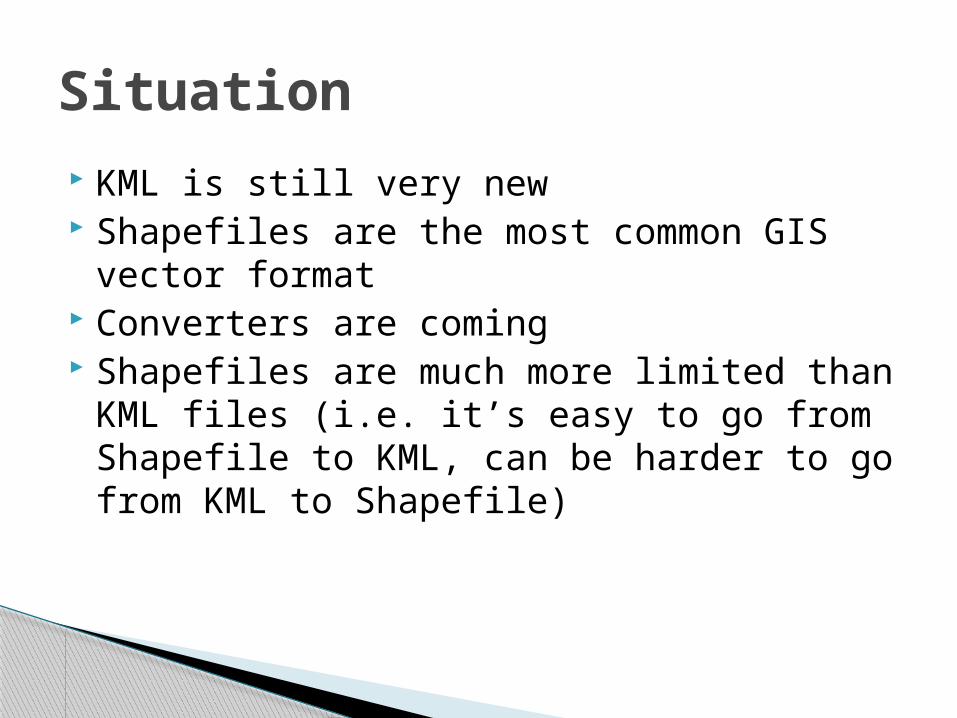
KML is still very new Shapefiles are the most common GIS vector
format Converters are coming Shapefiles are much more limited than KML
files (i.e. it’s easy to go from Shapefile to KML, can be harder to go from KML to Shapefile)
Situation
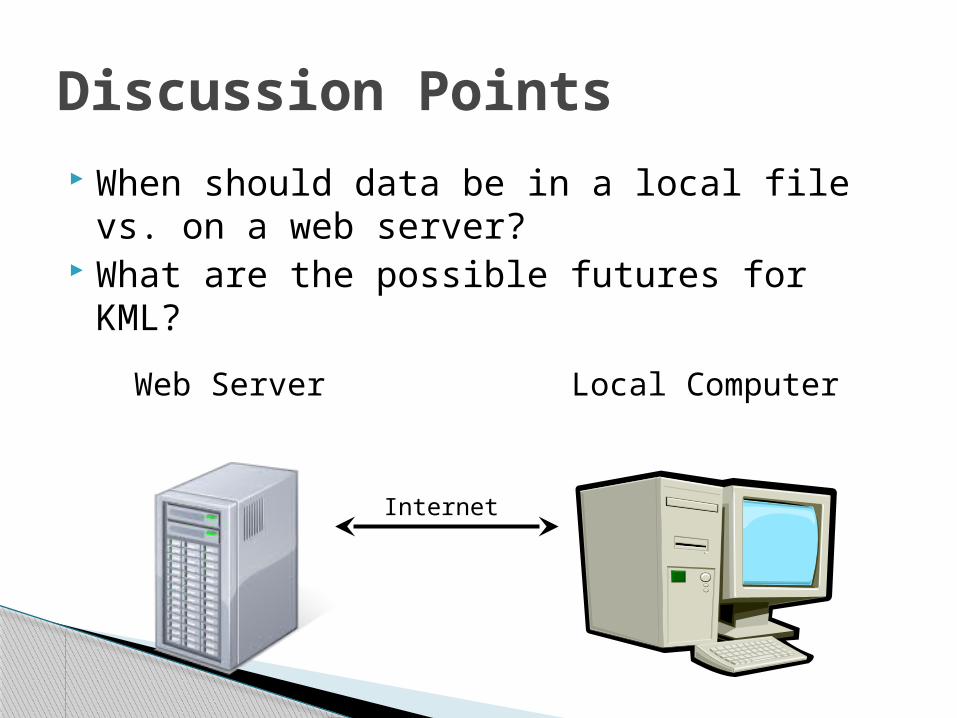
When should data be in a local file vs. on a web server?
What are the possible futures for KML?
Discussion Points
Local ComputerWeb Server
Internet
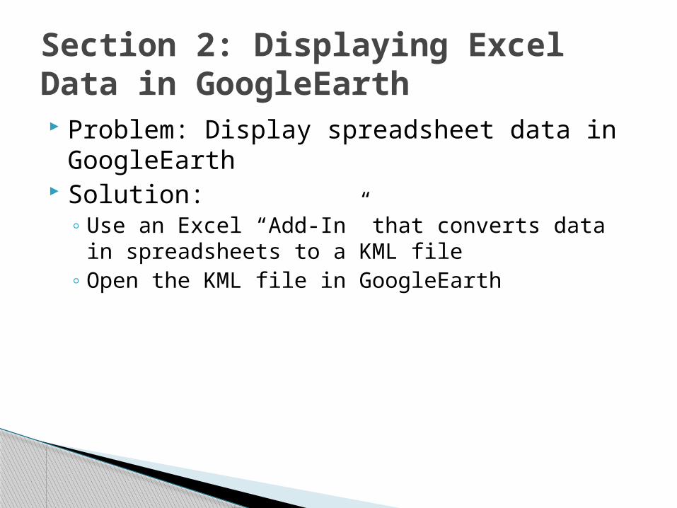
Problem: Display spreadsheet data in GoogleEarth
Solution:◦ Use an Excel “Add-In” that converts data in
spreadsheets to a KML file◦ Open the KML file in GoogleEarth
Section 2: Displaying Excel Data in GoogleEarth
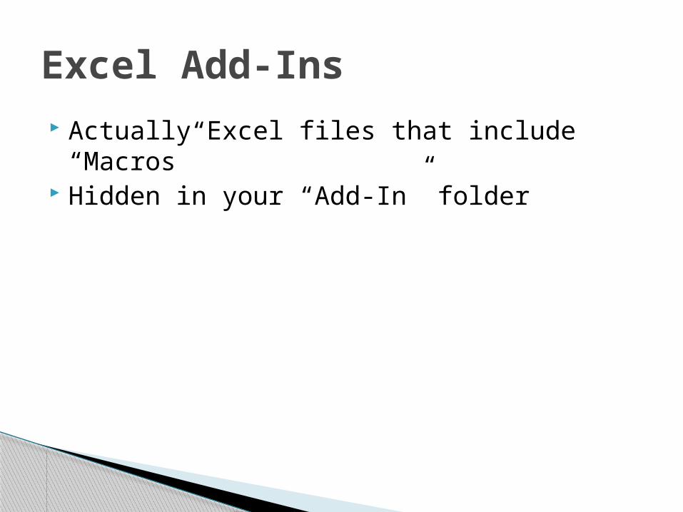
Actually Excel files that include “Macros” Hidden in your “Add-In” folder
Excel Add-Ins
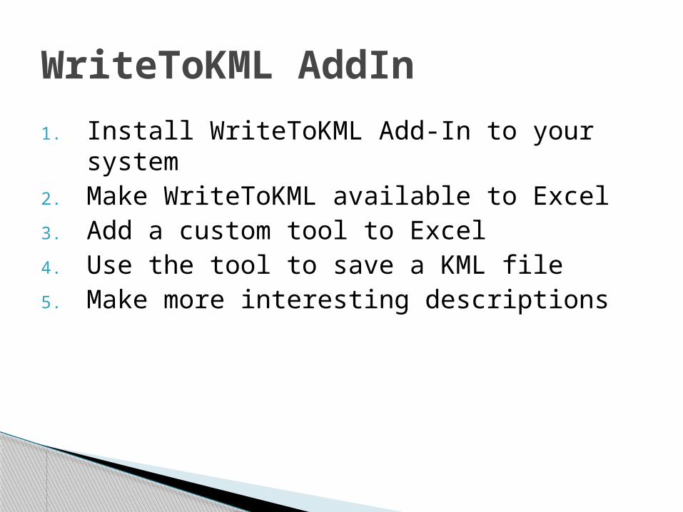
1. Install WriteToKML Add-In to your system2. Make WriteToKML available to Excel3. Add a custom tool to Excel 4. Use the tool to save a KML file 5. Make more interesting descriptions
WriteToKML AddIn
Discussion point: What type of data would you collect to make this work?
Discussion Points
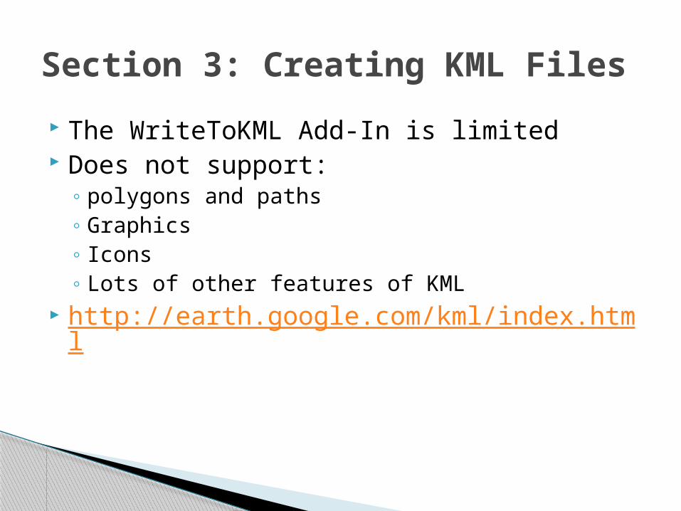
The WriteToKML Add-In is limited Does not support:
◦ polygons and paths◦ Graphics◦ Icons◦ Lots of other features of KML
http://earth.google.com/kml/index.html
Section 3: Creating KML Files
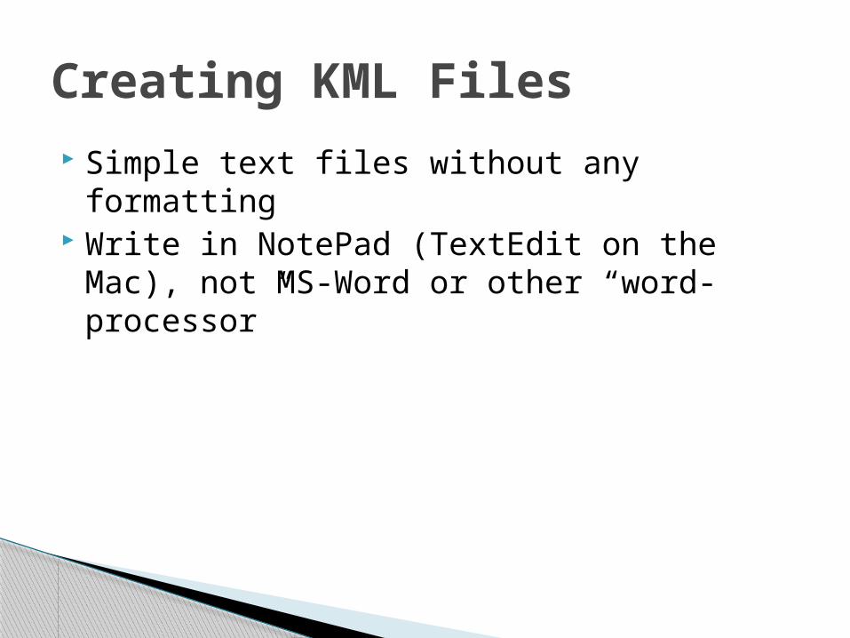
Simple text files without any formatting Write in NotePad (TextEdit on the Mac), not
MS-Word or other “word-processor”
Creating KML Files
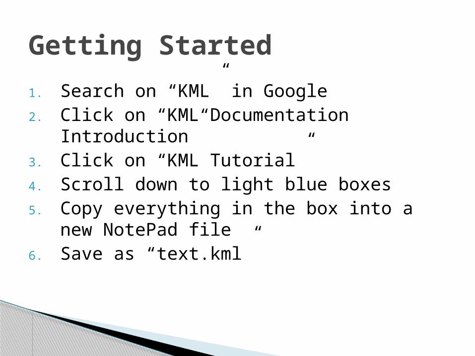
1. Search on “KML” in Google2. Click on “KML Documentation
Introduction”3. Click on “KML Tutorial”4. Scroll down to light blue boxes5. Copy everything in the box into a new
NotePad file6. Save as “text.kml”
Getting Started
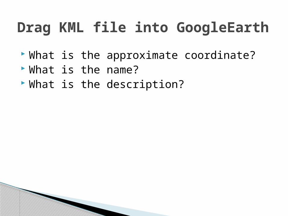
What is the approximate coordinate? What is the name? What is the description?
Drag KML file into GoogleEarth

Open GoogleEarth and Notepad Steps:
◦ Edit in NotePad◦ Save to a file on the desktop◦ Double click on the file◦ Click “Yes” to reload and view the file◦ Repeat
Change name, description
Writing KML Files
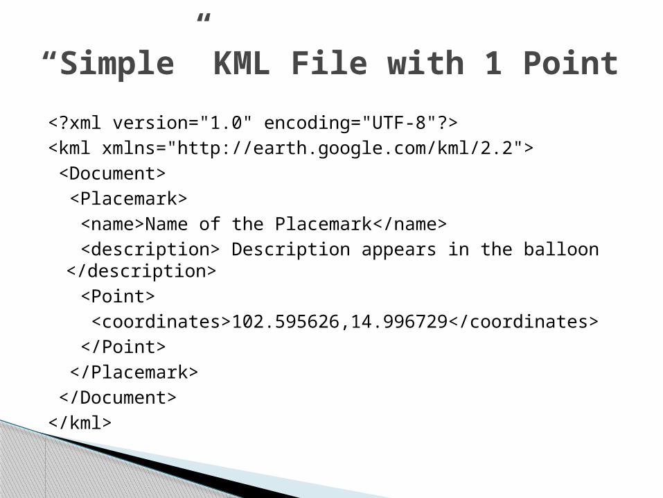
<?xml version="1.0" encoding="UTF-8"?><kml xmlns="http://earth.google.com/kml/2.2"> <Document> <Placemark> <name>Name of the Placemark</name> <description> Description appears in the balloon
</description> <Point> <coordinates>102.595626,14.996729</coordinates> </Point> </Placemark> </Document> </kml>
“Simple” KML File with 1 Point
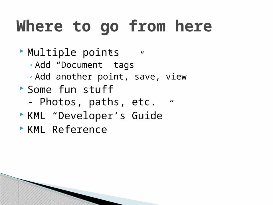
Multiple points◦ Add “Document” tags”◦ Add another point, save, view
Some fun stuff- Photos, paths, etc.
KML “Developer’s Guide” KML Reference
Where to go from here

How would you use this in your classroom? What types of data would kids find cool to
put into GoogleEarth?
Discussion Points
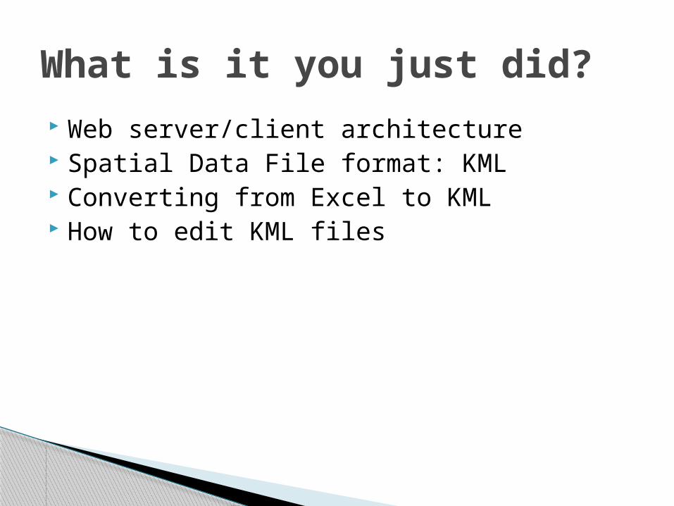
Web server/client architecture Spatial Data File format: KML Converting from Excel to KML How to edit KML files
What is it you just did?