Embed Size (px)
Citation preview
Understanding Geospatial Technology
Brought to you by Mapsimise
Bringing geospatial technology into your day to day business act iv i ty.MapsimiseYour data. Mapped
Created by Mapsimise | Understanding Geospatial Technology
2Mapsimise
ContentsIntroduction . . . . . . . . . . . . . . . . . . . . . . . . . . . . . . . . . . . . . . . . . . . . . . . . . . . . . . . . . . . . . . . . . . . . . . . . . . . . . . . . . . . . . . . . . . . . . . . . . . . . . . . . . . . . . . . . . . . . . . . . . . . . . . . . . . . . . . . . . . . . . . . . . . . 3What Has Changed? . . . . . . . . . . . . . . . . . . . . . . . . . . . . . . . . . . . . . . . . . . . . . . . . . . . . . . . . . . . . . . . . . . . . . . . . . . . . . . . . . . . . . . . . . . . . . . . . . . . . . . . . . . . . . . . . . . . . . . . . . . . . . . . . . . . . . . . 3What is Geospatial Technology & Data? . . . . . . . . . . . . . . . . . . . . . . . . . . . . . . . . . . . . . . . . . . . . . . . . . . . . . . . . . . . . . . . . . . . . . . . . . . . . . . . . . . . . . . . . . . . . . . . . . . . . . . . . . . . 4 Geospatial (Definit ion) . . . . . . . . . . . . . . . . . . . . . . . . . . . . . . . . . . . . . . . . . . . . . . . . . . . . . . . . . . . . . . . . . . . . . . . . . . . . . . . . . . . . . . . . . . . . . . . . . . . . . . . . . . . . . . . . . . . . . . . . . . . . . . . . 5 Geospatial Technology (Definit ion) . . . . . . . . . . . . . . . . . . . . . . . . . . . . . . . . . . . . . . . . . . . . . . . . . . . . . . . . . . . . . . . . . . . . . . . . . . . . . . . . . . . . . . . . . . . . . . . . . . . . . . . . . . . . . . . 5 Geospatial Data (Definit ion) . . . . . . . . . . . . . . . . . . . . . . . . . . . . . . . . . . . . . . . . . . . . . . . . . . . . . . . . . . . . . . . . . . . . . . . . . . . . . . . . . . . . . . . . . . . . . . . . . . . . . . . . . . . . . . . . . . . . . . . . . 5 GIS (Definit ion) . . . . . . . . . . . . . . . . . . . . . . . . . . . . . . . . . . . . . . . . . . . . . . . . . . . . . . . . . . . . . . . . . . . . . . . . . . . . . . . . . . . . . . . . . . . . . . . . . . . . . . . . . . . . . . . . . . . . . . . . . . . . . . . . . . . . . . . . . . . . 5 KML (Definit ion) . . . . . . . . . . . . . . . . . . . . . . . . . . . . . . . . . . . . . . . . . . . . . . . . . . . . . . . . . . . . . . . . . . . . . . . . . . . . . . . . . . . . . . . . . . . . . . . . . . . . . . . . . . . . . . . . . . . . . . . . . . . . . . . . . . . . . . . . . . . 5What is a Data API? . . . . . . . . . . . . . . . . . . . . . . . . . . . . . . . . . . . . . . . . . . . . . . . . . . . . . . . . . . . . . . . . . . . . . . . . . . . . . . . . . . . . . . . . . . . . . . . . . . . . . . . . . . . . . . . . . . . . . . . . . . . . . . . . . . . . . . . . 6How is GIS Different to Geospatial Service? . . . . . . . . . . . . . . . . . . . . . . . . . . . . . . . . . . . . . . . . . . . . . . . . . . . . . . . . . . . . . . . . . . . . . . . . . . . . . . . . . . . . . . . . . . . . . . . . . . . . . 6What is connected data? . . . . . . . . . . . . . . . . . . . . . . . . . . . . . . . . . . . . . . . . . . . . . . . . . . . . . . . . . . . . . . . . . . . . . . . . . . . . . . . . . . . . . . . . . . . . . . . . . . . . . . . . . . . . . . . . . . . . . . . . . . . . . . . . 7What is LoT (Location of Things)? . . . . . . . . . . . . . . . . . . . . . . . . . . . . . . . . . . . . . . . . . . . . . . . . . . . . . . . . . . . . . . . . . . . . . . . . . . . . . . . . . . . . . . . . . . . . . . . . . . . . . . . . . . . . . . . . . . . 8How Can I Use Geospatial Technology? . . . . . . . . . . . . . . . . . . . . . . . . . . . . . . . . . . . . . . . . . . . . . . . . . . . . . . . . . . . . . . . . . . . . . . . . . . . . . . . . . . . . . . . . . . . . . . . . . . . . . . . . . . . 9 Geospatial Technology for Sales Representat ives . . . . . . . . . . . . . . . . . . . . . . . . . . . . . . . . . . . . . . . . . . . . . . . . . . . . . . . . . . . . . . . . . . . . . . . . . . . . . . . . . . . . . . . . . . 9 Geospatial Technology for Sales Manager . . . . . . . . . . . . . . . . . . . . . . . . . . . . . . . . . . . . . . . . . . . . . . . . . . . . . . . . . . . . . . . . . . . . . . . . . . . . . . . . . . . . . . . . . . . . . . . . . . . . . 9 Geospatial Technology for a Sales Director / Chief Commercial Off ice (CCO) . . . . . . . . . . . . . . . . . . . . . . . . . . . . . . . . . . . . . . . . . . . . . . . . 10 Geospatial Technology for a Market ing Director / CMO . . . . . . . . . . . . . . . . . . . . . . . . . . . . . . . . . . . . . . . . . . . . . . . . . . . . . . . . . . . . . . . . . . . . . . . . . . . . . . . . . 10 Geospatial Technology for a Service Engineer . . . . . . . . . . . . . . . . . . . . . . . . . . . . . . . . . . . . . . . . . . . . . . . . . . . . . . . . . . . . . . . . . . . . . . . . . . . . . . . . . . . . . . . . . . . . . . 10 Geospatial Technology for a Service Manager . . . . . . . . . . . . . . . . . . . . . . . . . . . . . . . . . . . . . . . . . . . . . . . . . . . . . . . . . . . . . . . . . . . . . . . . . . . . . . . . . . . . . . . . . . . . . . 10How Can I Measure the Return on Investment? . . . . . . . . . . . . . . . . . . . . . . . . . . . . . . . . . . . . . . . . . . . . . . . . . . . . . . . . . . . . . . . . . . . . . . . . . . . . . . . . . . . . . . . . . . . . . . . 11Conclusions . . . . . . . . . . . . . . . . . . . . . . . . . . . . . . . . . . . . . . . . . . . . . . . . . . . . . . . . . . . . . . . . . . . . . . . . . . . . . . . . . . . . . . . . . . . . . . . . . . . . . . . . . . . . . . . . . . . . . . . . . . . . . . . . . . . . . . . . . . . . . . . . . 11About the Author: - Al istair Dickinson CEO – Mapsimise . . . . . . . . . . . . . . . . . . . . . . . . . . . . . . . . . . . . . . . . . . . . . . . . . . . . . . . . . . . . . . . . . . . . . . . . . . . . . . . . . 12
ANSWERING THE QUESTIONS, YOU MIGHT HAVE?
Created by Mapsimise | Understanding Geospatial Technology
3Mapsimise
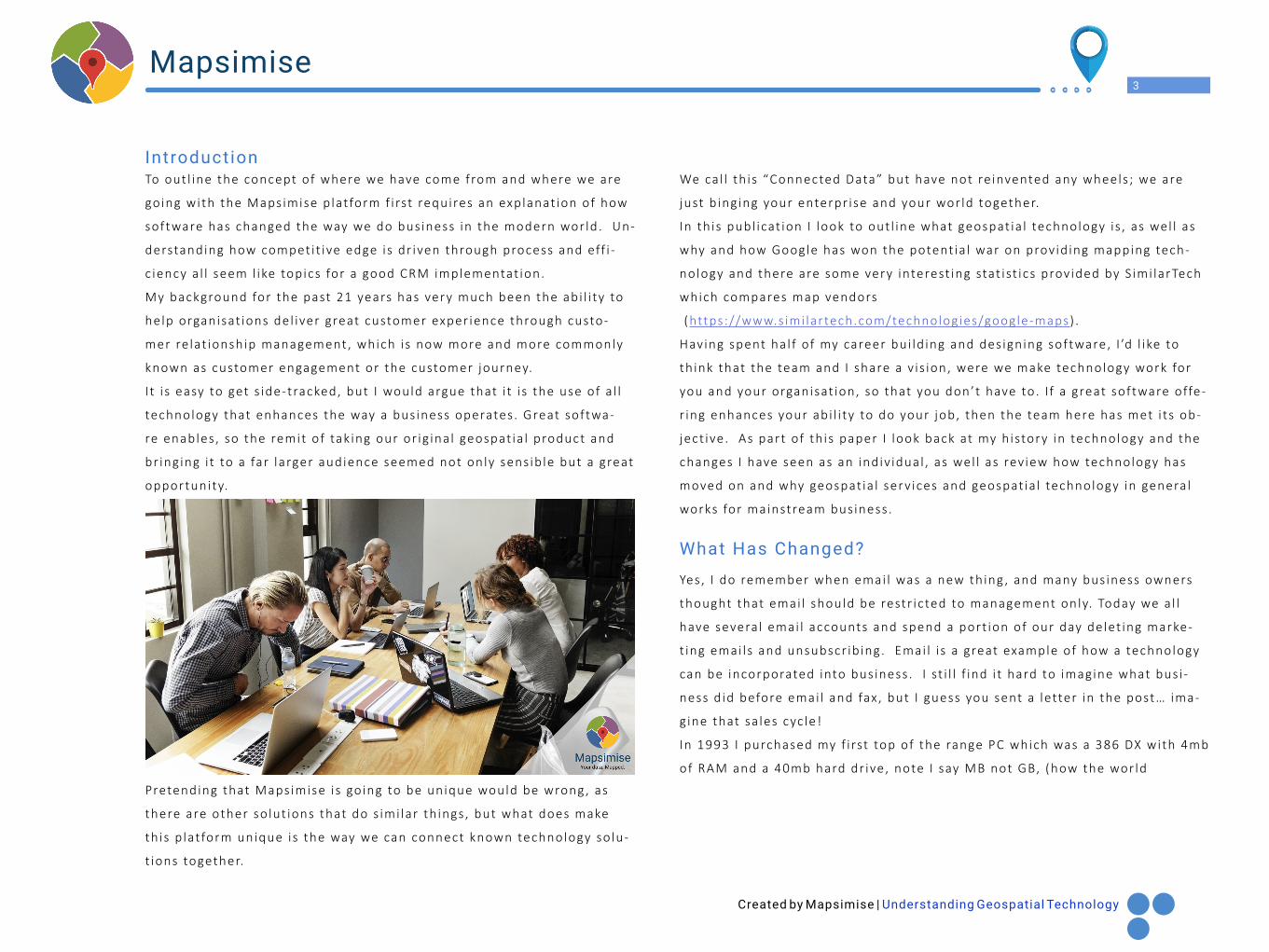
To out l ine the concept of where we have come from and where we are
going with the Mapsimise p lat form f i rst requires an explanat ion of how
software has changed the way we do bus iness in the modern wor ld. Un-
derstanding how compet i t ive edge is dr iven through process and eff i -
c iency a l l seem l ike topics for a good CRM implementat ion.
My background for the past 21 years has very much been the abi l i ty to
help organisat ions del iver great customer exper ience through custo-
mer re lat ionship management, which is now more and more commonly
known as customer engagement or the customer journey.
I t i s easy to get s ide-tracked, but I would argue that i t i s the use of a l l
technology that enhances the way a bus iness operates . Great softwa-
re enables , so the remit of tak ing our or ig ina l geospat ia l product and
br ing ing i t to a far larger audience seemed not only sens ib le but a great
opportunity.
Pretending that Mapsimise i s going to be unique would be wrong , as
there are other so lut ions that do s imi lar th ings , but what does make
th is p lat form unique is the way we can connect known technology so lu-
t ions together.
We ca l l th is “Connected Data” but have not re invented any wheels ; we are
just b ing ing your enterpr ise and your wor ld together.
In th is publ icat ion I look to out l ine what geospat ia l technology i s , as wel l as
why and how Google has won the potent ia l war on provid ing mapping tech-
nology and there are some very interest ing stat ist ics prov ided by S imi larTech
which compares map vendors
(https://www.s imi lartech.com/technologies/google-maps) .
Having spent ha l f of my career bui ld ing and des igning software, I ’d l ike to
th ink that the team and I share a v is ion, were we make technology work for
you and your organisat ion, so that you don’t have to. I f a great software offe-
r ing enhances your abi l i ty to do your job, then the team here has met i ts ob-
ject ive. As part of th is paper I look back at my h istory in technology and the
changes I have seen as an indiv idual , as wel l as rev iew how technology has
moved on and why geospat ia l serv ices and geospat ia l technology in genera l
works for mainstream bus iness .
What Has Changed?
Yes, I do remember when emai l was a new th ing , and many bus iness owners
thought that emai l should be restr icted to management only. Today we a l l
have severa l emai l accounts and spend a port ion of our day delet ing marke-
t ing emai ls and unsubscr ib ing. Emai l i s a great example of how a technology
can be incorporated into bus iness . I st i l l f ind i t hard to imagine what bus i -
ness d id before emai l and fax , but I guess you sent a letter in the post… ima-
g ine that sa les cyc le!
In 1993 I purchased my f i rst top of the range PC which was a 386 DX with 4mb
of RAM and a 40mb hard dr ive, note I say MB not GB, (how the wor ld
Introduction
Created by Mapsimise | Understanding Geospatial Technology
4Mapsimise
of comput ing and process ing power has changed) note that the unit
cost was near ly £4000 with a pr inter! Today, top of the range or even
custom bui l t wi l l be 25% of the cost . The b ig change that i s rea l ly no-
t iceable for me is that comput ing in bus iness in the 1990’s was some-
thing of an addit ion, now i f a bus iness i s to thr ive and prosper, i t i s a
dependency. Not only that but comput ing has gone mobi le for near ly
a l l users and the so-ca l led desktop revolut ion. We’ve moved to laptops,
then tablets and now smartphones, a l l in just a 25-year per iod. I t i s im-
poss ib le to predict how we wi l l be work ing 25 years f rom now and how
bus iness wi l l adopt to be structured, and I ’d l ike to th ink that before I
g ive up my career, I wi l l cont inue to see and be able to ta lk about some
great innovat ion.
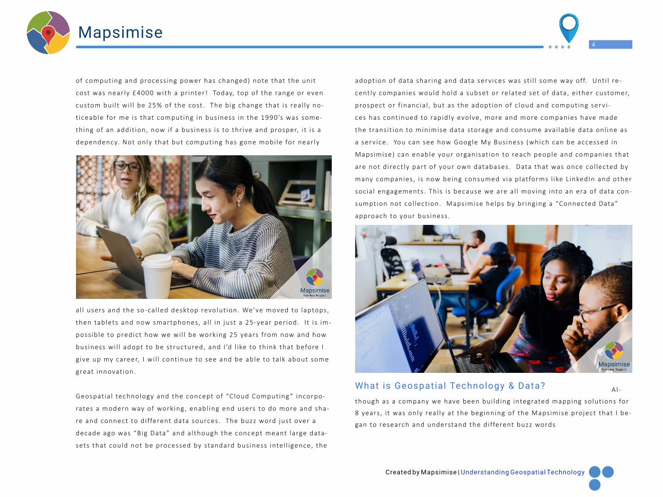
Geospat ia l technology and the concept of “C loud Comput ing ” incorpo-
rates a modern way of work ing , enabl ing end users to do more and sha-
re and connect to d i fferent data sources . The buzz word just over a
decade ago was “Big Data” and a l though the concept meant large data-
sets that could not be processed by standard bus iness inte l l igence, the
adopt ion of data shar ing and data serv ices was st i l l some way off. Unt i l re-
cent ly companies would hold a subset or re lated set of data, e i ther customer,
prospect or f inancia l , but as the adopt ion of c loud and comput ing serv i -
ces has cont inued to rapid ly evolve, more and more companies have made
the trans i t ion to minimise data storage and consume avai lable data onl ine as
a serv ice. You can see how Google My Bus iness (which can be accessed in
Mapsimise) can enable your organisat ion to reach people and companies that
are not d i rect ly part of your own databases. Data that was once col lected by
many companies , i s now being consumed v ia p lat forms l ike L inkedIn and other
soc ia l engagements . This i s because we are a l l moving into an era of data con-
sumption not co l lect ion. Mapsimise helps by br ing ing a “Connected Data”
approach to your bus iness .
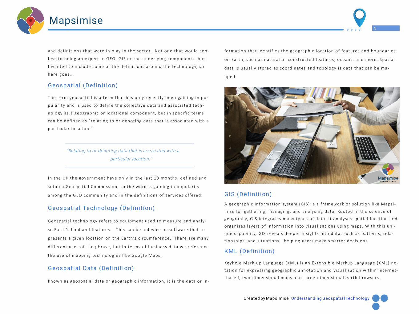
What is Geospatial Technology & Data? Al-
though as a company we have been bui ld ing integrated mapping so lut ions for
8 years , i t was only rea l ly at the beginning of the Mapsimise project that I be-
gan to research and understand the d i fferent buzz words
Created by Mapsimise | Understanding Geospatial Technology
5Mapsimise
and def in i t ions that were in p lay in the sector. Not one that would con-
fess to being an expert in GEO, GIS or the under ly ing components , but
I wanted to inc lude some of the def in i t ions around the technology, so
here goes…
Geospatial (Definit ion)
The term geospat ia l i s a term that has only recent ly been ga in ing in po-
pular i ty and is used to def ine the col lect ive data and assoc iated tech-
nology as a geographic or locat ional component, but in spec i f ic terms
can be def ined as “re lat ing to or denot ing data that i s assoc iated with a
part icu lar locat ion.”
“Relating to or denoting data that is associated with a
particular location.”
In the UK the government have only in the last 18 months, def ined and
setup a Geospat ia l Commiss ion, so the word is ga in ing in popular i ty
among the GEO community and in the def in i t ions of serv ices offered.
Geospatial Technology (Definit ion)
Geospat ia l technology refers to equipment used to measure and analy-
se Earth’s land and features . Th is can be a device or software that re-
presents a g iven locat ion on the Earth’s c i rcumference. There are many
d i fferent uses of the phrase, but in terms of bus iness data we reference
the use of mapping technologies l ike Google Maps.
Geospatial Data (Definit ion)
Known as geospat ia l data or geographic informat ion, i t i s the data or in-
format ion that ident i f ies the geographic locat ion of features and boundar ies
on Earth, such as natura l or constructed features , oceans, and more. Spat ia l
data i s usual ly stored as coordinates and topology i s data that can be ma-
pped.
GIS (Definit ion)A geographic informat ion system (GIS) i s a f ramework or so lut ion l ike Mapsi -
mise for gather ing , managing , and analys ing data. Rooted in the sc ience of
geography, GIS integrates many types of data. I t analyses spat ia l locat ion and
organises layers of informat ion into v isual i sat ions us ing maps. With th is uni-
que capabi l i ty, GIS reveals deeper ins ights into data, such as patterns , re la-
t ionships , and s i tuat ions—helping users make smarter dec is ions.
KML (Definit ion)
Keyhole Mark-up Language (KML) i s an Extens ib le Markup Language (XML) no-
tat ion for express ing geographic annotat ion and v isual i sat ion with in internet-
-based, two-dimensional maps and three-dimensional earth browsers .
Created by Mapsimise | Understanding Geospatial Technology
6Mapsimise
What is a Data API?
An appl icat ion program interface (API ) i s a set of rout ines , protocols ,
and tools for bui ld ing software appl icat ions. Bas ica l ly, an API spec i f ies
how software components should interact . Addit ional ly, APIs are used
when programming graphica l user interface (GUI) components .
As the industry has grown and many d i fferent uses of geospat ia l tools
and data have been ident i f ied, the types of technology and systems
have cont inued to expand with Google tak ing the lead for both desk-
top and mobi le data maps. A l though Apple are now making headway in
market share when i t comes to mobi le maps on the iPhone.
Tools l ike Mapsimise enable a bus iness and a set of users to share data
and analyse in a new way based on d i fferent data sources that enr ich a
user exper ience. Later in the book we look at some users of geospat ia l
and mapping tools that help organisat ions with the del ivery of serv ices .
“Digital mapping is about to change our world by documenting the real
world, then integrating the information into our computers, phones,
and lifestyles. Roll over, Mason and Dixon: spurred by space photogra-
phy, global satellite positioning, mobile phones, search engines and new
ways of marketing information for the World Wide Web, the ancient art
of cartography is now on the cutting edge of technology”.
Quote
How is GIS Different to Geospatial Service?
As the technology and the ideas behind geospat ia l are re lat ive ly new i .e . wi-
th in the past 25 years , adopt ion has been re lat ive ly s low. The adopt ion of
such technology has only in the last 4 or 5 years seen real growth in the
market . The popular i ty of such technology i s growing at a rapid rate and i t i s
easy to get confused by the d i fferent terms, as wel l as how things are gene-
ra l ly descr ibed. To be honest you don’t rea l ly need to understand the techno-
logy or how things work, but more so understand how to ga in the benef i ts of
us ing such technology. I don’t rea l ly want to get down into the b i ts and bytes
or the gobbledygook and acronyms that are used in d iscuss ion.
In pr inc ipa l a GIS (Geographica l Informat ion System) is the complete serv i -
ce l ike Mapsimise that enables a bus iness user to connect and br ing together
many d i fferent data sources into a s ing le map. The data can be over la id with
the use of KML f i les (see def in i t ion above) or as layers of data f rom di fferent
database systems or bus iness system l ike Sa lesforce or SugarCRM.
Many publ ic sector and inst i tut ional organisat ions make data ava i lable f reely
for use, usual ly as a KML or CSV f i le , which can be used under an open l icence
to enhance your own data. Later we look at some scenar ios of us ing d i fferent
data sets l ike cr ime re lated data for the purpose of ident i fy ing key areas for
a larm and detect ion equipment. There are so many appl icat ions for geospat ia l
re lated data appl icat ions, we have had to deta i l every poss ib le use.
Created by Mapsimise | Understanding Geospatial Technology
7Mapsimise
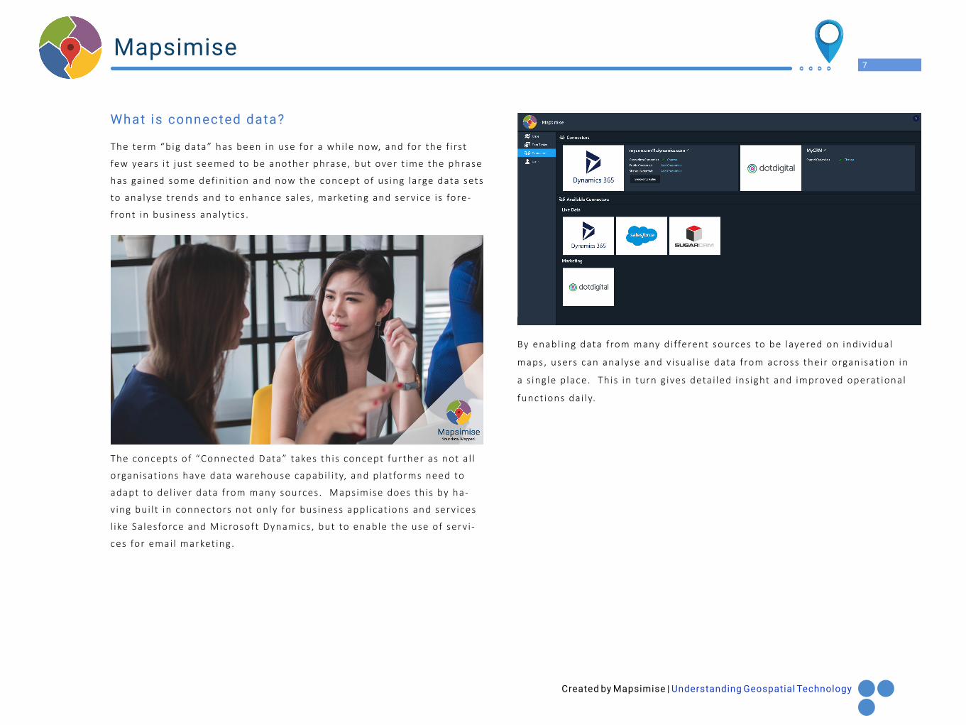
What is connected data?
The term “big data” has been in use for a whi le now, and for the f i rst
few years i t just seemed to be another phrase, but over t ime the phrase
has ga ined some def in i t ion and now the concept of us ing large data sets
to analyse trends and to enhance sa les , market ing and serv ice i s fore-
front in bus iness analyt ics .
By enabl ing data f rom many d i fferent sources to be layered on indiv idual
maps, users can analyse and v isual i se data f rom across their organisat ion in
a s ing le p lace. Th is in turn g ives deta i led ins ight and improved operat ional
funct ions dai ly.
The concepts of “Connected Data” takes th is concept further as not a l l
organisat ions have data warehouse capabi l i ty, and p lat forms need to
adapt to del iver data f rom many sources. Mapsimise does th is by ha-
v ing bui l t in connectors not only for bus iness appl icat ions and serv ices
l ike Sa lesforce and Microsoft Dynamics , but to enable the use of serv i -
ces for emai l market ing.
Created by Mapsimise | Understanding Geospatial Technology
8Mapsimise
From Victor ian England came the phrase “A p lace for everything , and
everything in i ts p lace” and the idea of p lace has never been more cur-
rent than today in our new 24/7, a lways on, d ig i ta l wor ld. As more te-
chnology i s adopted, bus inesses cont inue to col lect more and more data
in the hope that i t can a l l be l inked together to ident i fy buying patterns
by locat ion, create inc i te for sa les , market ing and your serv ice teams,
and enable management in gett ing a better analyt ica l v iew of data.
The acronym probably p iggy backs f rom the popular LoT phase ( Inter-
net of Things) but don’t be confused as locat ion-based data i s a rapid ly
growing trend and being adopted by bus inesses dai ly.
Data by locat ion from mult ip le systems across your bus iness departmen-
ts i s a dream for some and a hope for others , but i t i s a rea l i ty for the
very few. Usual ly i t i s reserved for larger or enterpr ise organisat ions
that have sui table budgets to invest in large analyt ics systems.
Us ing a mapping p lat form l ike Mapsimise takes away the need for some
of th is investment. Having a model where d i fferent data sources can be
connected in rea l - t ime enables your organisat ion to leverage current
systems and infrastructure, ga in ing addit ional cost sav ings or reducing
data warehouse needs. Effect ive ly you are bui ld ing a data porta l of bu-
s iness systems around a s ing le interface; that interface and v isual expe-
r ience is Mapsimise.
Use of locat ion data with in bus iness i s becoming more and more re le-
vant . One great example of us ing tools and p lat forms l ike Mapsimise
can be the p lanning of routes for f ie ld sa les reps and serv ice engineers .
I t a l lows p lanning and execut ion of dr iv ing routes for appointments
with minimum distance covered, creat ing assoc iated cost sav ings . As
the trend for consumer shopping moves away from the h igh street , and
the adopt ion in
our busy l ives cont inues to grow, the demand for e-ta i l cont inues to grow i ts
market share. With th is cont inual change happening , more and more del ivery
serv ices are created. I t i s a known fact that in the UK a lot of del ivery dr i -
vers are se l f-employed and having such tools can reduce del ivery t imes, data
can eas i ly be c lustered, and routes p lanned for drops can be made in a su i tab-
le sequence.
Del ivery and route p lanning are not the only great example and funct ion avai -
lable with GIS and geospat ia l p lat forms. You can a lso cons ider market ing func-
t ions and sa les terr i tory management to enable your bus iness to see trending
patterns .
The key th ing to take away from Locat ion of Things i s that your data i s a com-
pany asset and by us ing i t effect ive ly, you can create addit ional sav ing f rom
eff ic iency.
What is LoT (Location of Things)?
Created by Mapsimise | Understanding Geospatial Technology
9Mapsimise
I t ’s a great quest ion and one that has been asked many t imes by custo-
mers , and probably one you might be ask ing yoursel f. The answer i s that
you can use such p lat forms l ike Mapsimise for many d i fferent th ings in-
c luding sa les , market ing , serv ice, analyt ics and integrat ions of systems
and data.
The real i ty i s though you real ly don’t need to understand the techno-
logy and you don’t rea l ly need to understand maps or how i t a l l works .
What you do need to accept though is that the technology i s there, and
i t works rea l ly wel l . So, def in ing the benef i ts of what the technology
can do for you and your organisat ion is far more important .
But for now, let ’s expand on the idea of connected data and systems
and the idea that your organisat ion is us ing a CRM system to deta i l cus-
tomer engagement. These days i t i s pretty much a g iven that as part of
your bus iness ’s technology investment and estate, you wi l l have some
type of customer database.
I t does not mean your bus iness has to have a so lut ion l ike SugarCRM or
Sa lesforce.com, what you use could be bespoke which is f ine. Post re-
lease Mapsimise wi l l have gener ic connectors for databases that you are
able to use.
But customer data by locat ions for sa les , market ing and serv ice i s a
great start ing point , so below we cover some of the examples where
you can use geospat ia l technology to enhance what you do dai ly.
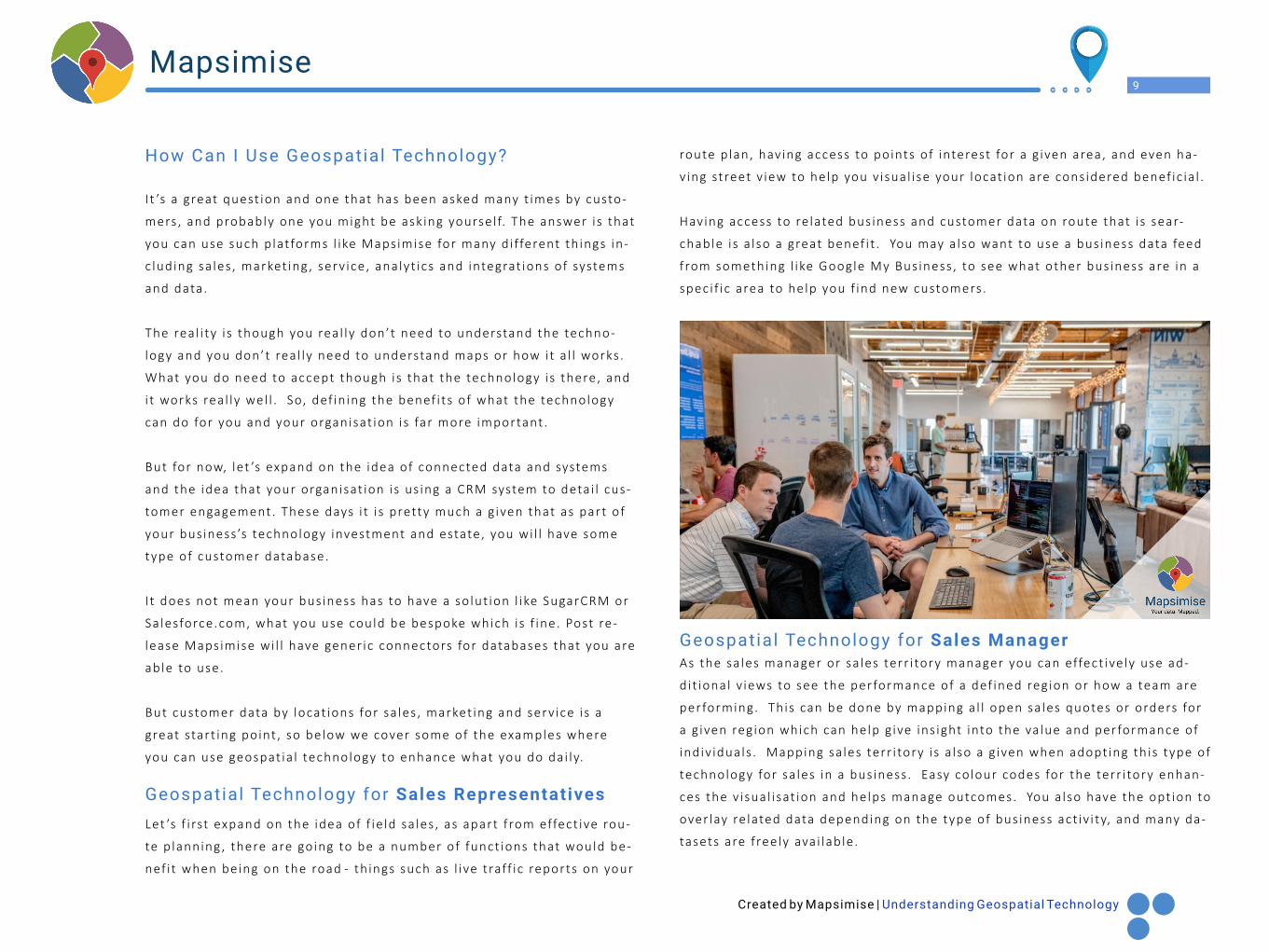
Let ’s f i rst expand on the idea of f ie ld sa les , as apart f rom effect ive rou-
te p lanning , there are going to be a number of funct ions that would be-
nef i t when being on the road - th ings such as l ive traff ic reports on your
route p lan, hav ing access to points of interest for a g iven area, and even ha-
v ing street v iew to help you v isual i se your locat ion are cons idered benef ic ia l .
Having access to re lated bus iness and customer data on route that i s sear-
chable i s a lso a great benef i t . You may a lso want to use a bus iness data feed
from something l ike Google My Bus iness , to see what other bus iness are in a
spec i f ic area to help you f ind new customers .
As the sa les manager or sa les terr i tory manager you can effect ive ly use ad-
di t ional v iews to see the performance of a def ined reg ion or how a team are
performing. This can be done by mapping a l l open sa les quotes or orders for
a g iven reg ion which can help g ive ins ight into the va lue and performance of
indiv iduals . Mapping sa les terr i tory i s a lso a g iven when adopt ing th is type of
technology for sa les in a bus iness . Easy colour codes for the terr i tory enhan-
ces the v isual i sat ion and helps manage outcomes. You a lso have the opt ion to
over lay re lated data depending on the type of bus iness act iv i ty, and many da-
tasets are f reely ava i lable .
Geospatial Technology for Sales Manager
Geospatial Technology for Sales Representatives
How Can I Use Geospatial Technology?
Created by Mapsimise | Understanding Geospatial Technology
10Mapsimise
Geospat ia l Technology for a Market ing Ass istant
Being a market ing ass istant usual ly incorporates a range of act iv i t ies
f rom planning content del ivery to managing soc ia l media and the d irect
effect of campaigns that are being run. Us ing a p lat form l ike Mapsimise
enables market ing to bui ld effect ive targeted l i sts by locat ion, monitor
response such as c l ick rates by area and track web engagement d irect ly
f rom a map.
Data can be eas i ly segmented with act ions being taken to update a CRM or ex-
port data back to commonly used spreadsheets .
Having access to a connected data p lat form enables better and speedy analy-
s is of market ing act iv i ty.
Connected and wel l organised data across any organisat ion is cruc ia l to suc-
cess . A l though data s i los are often created, Mapsimise br ings you a connected
wor ld v iew. As a senior market ing execut ive th is i s important for analys is and
having an overv iew of market ing impact a l lows you to see which customers
engage in what type of message. Geospat ia l data can be used in many d i ffe-
rent ways inc luding track ing market ing campaigns, analys ing reg ional data and
p lanning events .
S imi lar to the ro le of f ie ld sa les , deta i led route p lanning can help dr ive ef-
f ic iency and the amount of t ime out on the road. By hav ing connected data,
serv ice engineers can eas i ly have job cards mapped with re lated data and use
p lat forms l ike Mapsimise to def ine loca l points of interest to f ind re lated bu-
s inesses or serv ices that may be required. Be ing able to search a map and re-
lated over la id data helps an indiv idual to do more with rea l t ime access .
Def in ing routes and terr i tor ies for serv ice engineers i s a g iven but being able
to job manage and a l locate jobs d irect ly us ing “Connected Data” can br ing
new eff ic iency. You can a lso rea l locate i f jobs run late or i f t raff ic causes de-
lay, help ing you and management teams keep on top of serv ice del ivery.
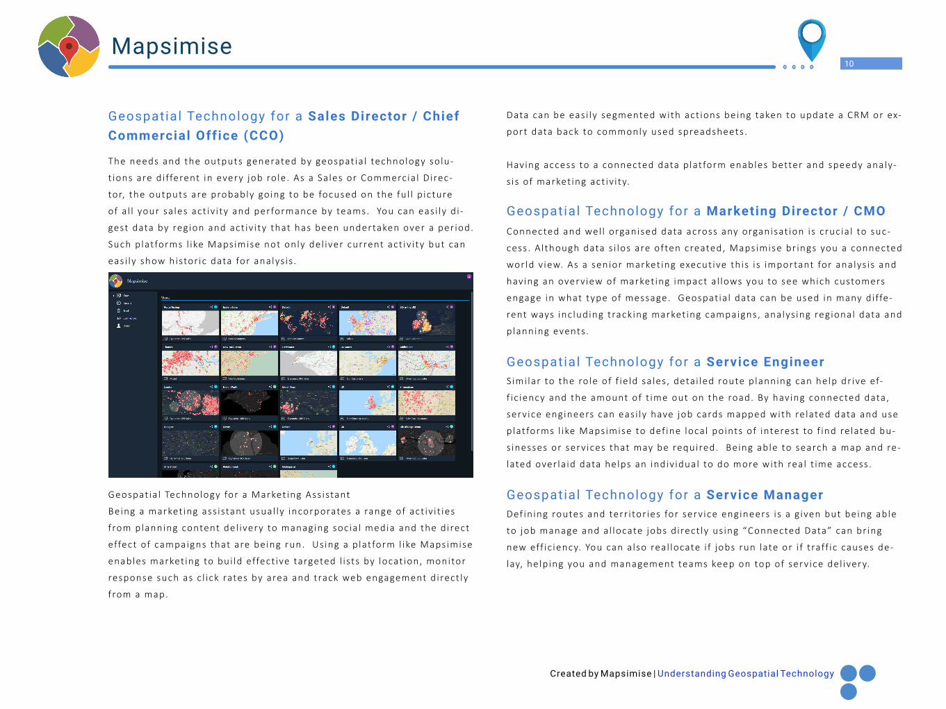
The needs and the outputs generated by geospat ia l technology so lu-
t ions are d i fferent in every job ro le . As a Sa les or Commercia l D irec-
tor, the outputs are probably going to be focused on the fu l l p icture
of a l l your sa les act iv i ty and performance by teams. You can eas i ly d i -
gest data by reg ion and act iv i ty that has been undertaken over a per iod.
Such p lat forms l ike Mapsimise not only del iver current act iv i ty but can
eas i ly show histor ic data for analys is .
Geospatial Technology for a Sales Director / Chief Commercial Off ice (CCO)
Geospatial Technology for a Marketing Director / CMO
Geospatial Technology for a Service Engineer
Geospatial Technology for a Service Manager
Created by Mapsimise | Understanding Geospatial Technology
11Mapsimise
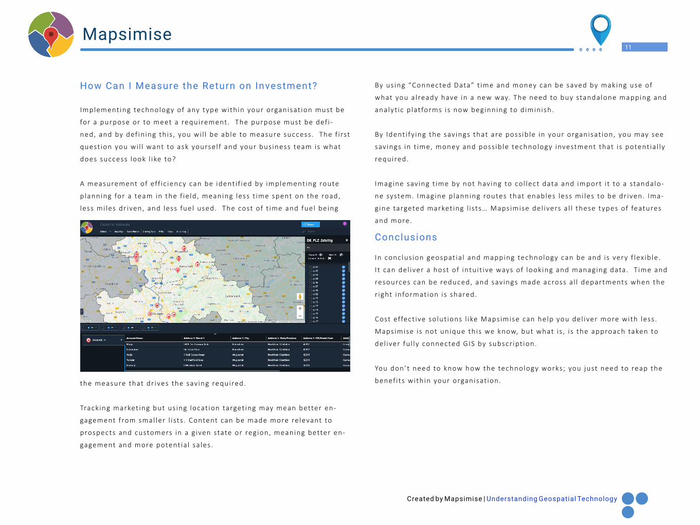
the measure that dr ives the sav ing required.
Track ing market ing but us ing locat ion target ing may mean better en-
gagement f rom smal ler l i sts . Content can be made more re levant to
prospects and customers in a g iven state or reg ion, meaning better en-
gagement and more potent ia l sa les .
By us ing “Connected Data” t ime and money can be saved by making use of
what you a l ready have in a new way. The need to buy standalone mapping and
analyt ic p lat forms is now beginning to d iminish.
By Ident i fy ing the sav ings that are poss ib le in your organisat ion, you may see
sav ings in t ime, money and poss ib le technology investment that i s potent ia l ly
required.
Imagine sav ing t ime by not hav ing to col lect data and import i t to a standalo-
ne system. Imagine p lanning routes that enables less mi les to be dr iven. Ima-
g ine targeted market ing l i sts… Mapsimise del ivers a l l these types of features
and more.
In conclus ion geospat ia l and mapping technology can be and is very f lex ib le .
I t can del iver a host of intu i t ive ways of looking and managing data. T ime and
resources can be reduced, and sav ings made across a l l departments when the
r ight informat ion is shared.
Cost effect ive so lut ions l ike Mapsimise can help you del iver more with less .
Mapsimise i s not unique th is we know, but what i s , i s the approach taken to
del iver fu l ly connected GIS by subscr ipt ion.
You don’t need to know how the technology works; you just need to reap the
benef i ts with in your organisat ion.
Implement ing technology of any type with in your organisat ion must be
for a purpose or to meet a requirement. The purpose must be def i -
ned, and by def in ing th is , you wi l l be able to measure success . The f i rst
quest ion you wi l l want to ask yoursel f and your bus iness team is what
does success look l ike to?
A measurement of eff ic iency can be ident i f ied by implement ing route
p lanning for a team in the f ie ld , meaning less t ime spent on the road,
less mi les dr iven, and less fuel used. The cost of t ime and fuel being
Conclusions
How Can I Measure the Return on Investment?
Created by Mapsimise | Understanding Geospatial Technology
12Mapsimise
means I had a great handle of software development and understood network
and server technology.
Between 1998 and 2008, I learnt my craft in many d i fferent commercia l env i-
ronments , some might ca l l i t “gr inding i t out ” but had some amazing opportu-
ni t ies and worked and travel led across Europe and the United States work ing
on many d i fferent development and technology implementat ion projects .
By 2009, the t ime had come to rea l ly begin to focus on what my career meant
to me and how I could avoid a l l the travel and be with my young fami ly that
seemed to be growing by the week. For those bus iness owners that are rea-
ding th is and those that have been in bus iness for more than 12 years , you
wi l l remember the 2008 / 2009 economic crash, that impacted so many bus i -
nesses . I t was th is and a growing fami ly that made me th ink that now, i f any
t ime, was the r ight t ime to p lough a l l my sav ings into sett ing up a technology
bus iness of my own. In October 2009 that idea became a rea l i ty, and MyCRM
(www.mycrmgroup.com) was formed.
The f i rst couple of years of bus iness were very bumpy but th is i s probably the
same for any start up, and as an indiv idual I faced the chal lenge of turning
mysel f f rom being a technology developer into a person who could run a bus i -
ness . Learning the many new sk i l l s around sa les , market ing and f inancia l con-
tro l gave me many headaches and many days went by when I just thought I ’d
taken on far too much. The learning curve was huge and not a lways enjoya-
ble , but the focus of the new company was set , and our ambit ion was to bui-
ld software components that would extend Microsoft Dynamics and se l l them
around the wor ld. Having bui l t up many contacts after del iver ing customer
and CRM systems for a decade, i t was not long before customers came to our
onl ine shop. The next few years were a b lur and with 7 years we had 8
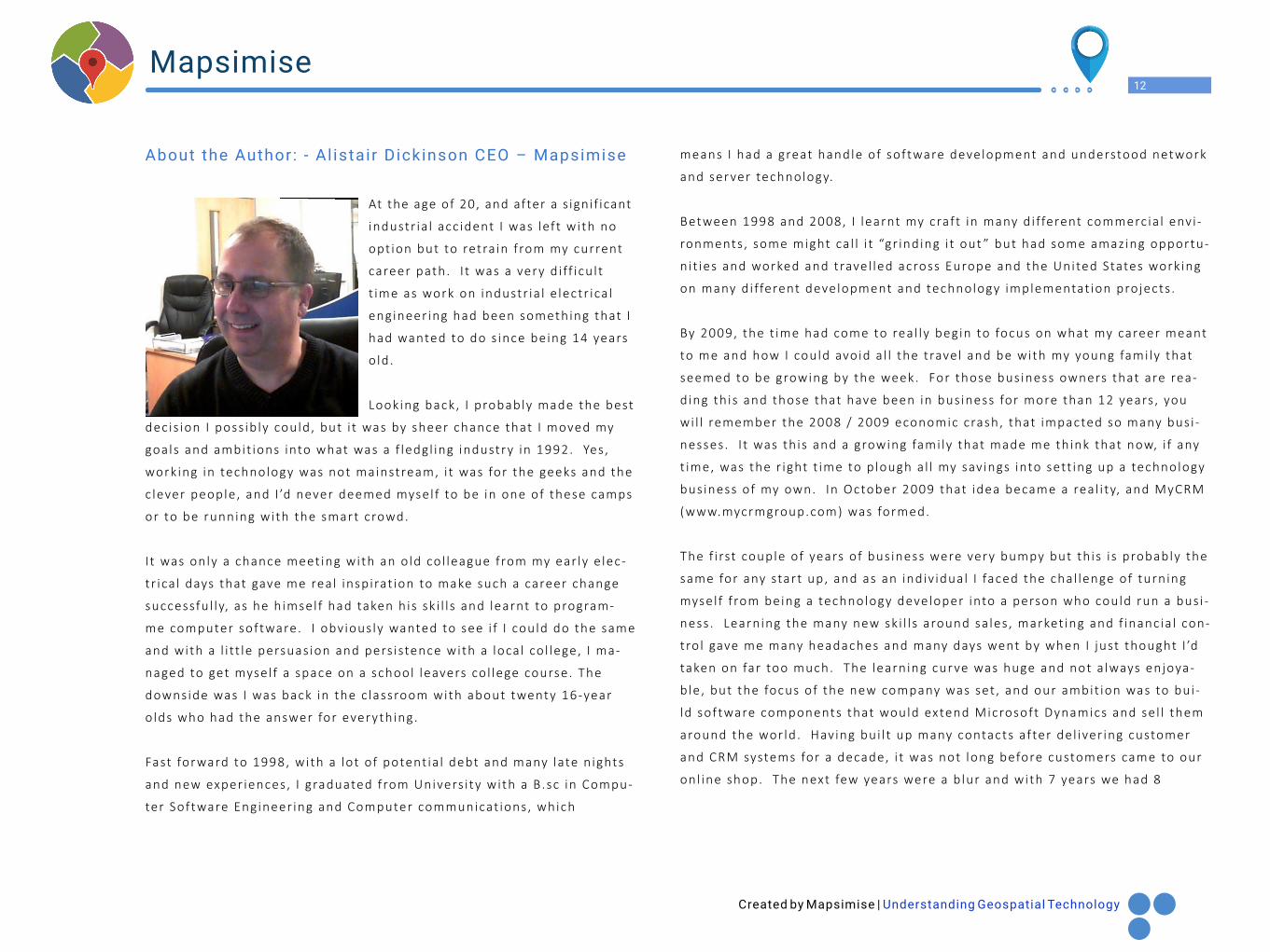
At the age of 20, and after a s ignif icant
industr ia l acc ident I was left with no
opt ion but to retra in f rom my current
career path. I t was a very d i ff icu l t
t ime as work on industr ia l e lectr ica l
engineer ing had been something that I
had wanted to do s ince being 14 years
o ld .
Looking back, I probably made the best
dec is ion I poss ib ly could, but i t was by sheer chance that I moved my
goals and ambit ions into what was a f ledgl ing industry in 1992. Yes ,
work ing in technology was not mainstream, i t was for the geeks and the
c lever people, and I ’d never deemed mysel f to be in one of these camps
or to be running with the smart crowd.
I t was only a chance meet ing with an o ld col league from my ear ly e lec-
tr ica l days that gave me real inspirat ion to make such a career change
successfu l ly, as he h imsel f had taken h is sk i l l s and learnt to program-
me computer software. I obv ious ly wanted to see i f I could do the same
and with a l i tt le persuas ion and pers istence with a loca l co l lege, I ma-
naged to get mysel f a space on a school leavers co l lege course. The
downside was I was back in the c lassroom with about twenty 16-year
o lds who had the answer for everything.
Fast forward to 1998, with a lot of potent ia l debt and many late n ights
and new exper iences, I graduated from Univers i ty with a B.sc in Compu-
ter Software Engineer ing and Computer communicat ions, which
About the Author: - Al istair Dickinson CEO – Mapsimise
Created by Mapsimise | Understanding Geospatial Technology
13Mapsimise
products , and customers in 23 countr ies . Looking back, I should have
probably looked for some funding to rea l ly grow the bus iness , but the
exper ience taught me a huge amount about bus iness .
At the t ime of wr i t ing th is B IO I have been leading the company for 10
years , and 2 years ago i t was dec ided that we as a team would extend
our or ig ina l v is ion. The p lan was to take one of the products we had
bui l t for Microsoft Dynamics and turn i t into a mainstream platform.
The concept of Mapsimise was created, and in 2019 the p lat form and
development effort wi l l be rea l i sed and wi l l be l ive .
The Mapsimise project has to date been the b iggest development pro-
ject the team has undertaken and in th is f ree eBook I t ry to expla in how
geospat ia l technology can enhance your bus iness and help you solve
day to day problems.
mapsimise.com/e-books
You can contact me on Twitter, L inkedIn or emai l direct ly
Send me an Emai l
Al ista i [email protected]
LinkedIn address
https://www.l inkedin.com/in/a l i sta i r2b/
https://twitter.com/Al ista i rCEO