Embed Size (px)
Citation preview
1
Autodesk® Civil 3D™ 2004
Introduction to Civil 3D
Goals for Today
• Explain what Civil 3D is…• Today• In the future
• Clarify how we’re delivering it• Explain goals of the “Preview”• Highlight key concepts
2
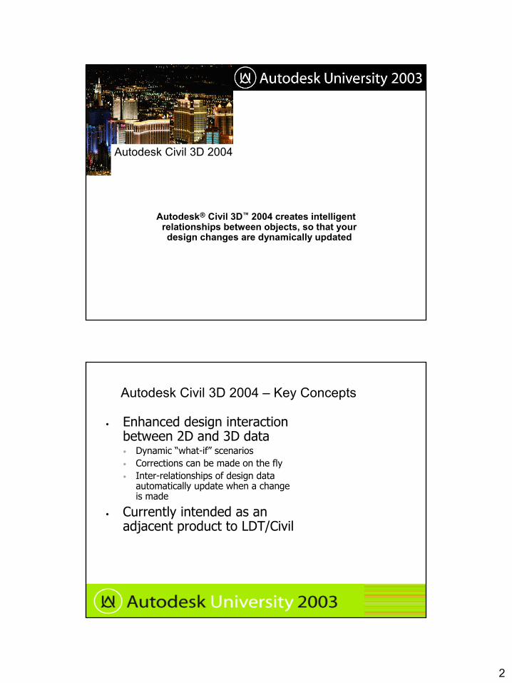
Autodesk Civil 3D 2004
Autodesk® Civil 3D™ 2004 creates intelligent relationships between objects, so that your design changes are dynamically updated
Autodesk Civil 3D 2004 – Key Concepts
• Enhanced design interaction between 2D and 3D data • Dynamic “what-if” scenarios • Corrections can be made on the fly • Inter-relationships of design data
automatically update when a change is made
• Currently intended as an adjacent product to LDT/Civil

3
Scope of Preview Release
• AutoCAD® 2004 foundation• Coordinate systems• LandXML Import/Export, LDT project data Import• Point creation and management• Surface modeling, analysis, and visualization• Grading and volume calculations• Parcel layout and analysis• Alignments, Profiles, and Surface cross-sections • Reporting, tables, annotation, production drafting
In its first release, Autodesk Civil 3D 2004 is not a replacement of Autodesk® Land Desktop 2004 and Autodesk® Civil Design 2004
Autodesk Civil 3D 2004 Implementation Strategy
A design companion to current Autodesk® Civil Solutions
4
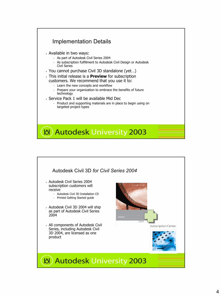
Implementation Details
• Available in two ways:• As part of Autodesk Civil Series 2004 • As subscription fulfillment to Autodesk Civil Design or Autodesk
Civil Series
• You cannot purchase Civil 3D standalone (yet…)• This initial release is a Preview for subscription
customers. We recommend that you use it to:• Learn the new concepts and workflow• Prepare your organization to embrace the benefits of future
technology
• Service Pack 1 will be available Mid Dec• Product and supporting materials are in place to begin using on
targeted project types
Autodesk Civil 3D for Civil Series 2004
• Autodesk Civil Series 2004 subscription customers will receive
• Autodesk Civil 3D Installation CD • Printed Getting Started guide
• Autodesk Civil 3D 2004 will ship as part of Autodesk Civil Series 2004
• All components of Autodesk Civil Series, including Autodesk Civil 3D 2004, are licensed as one product
5
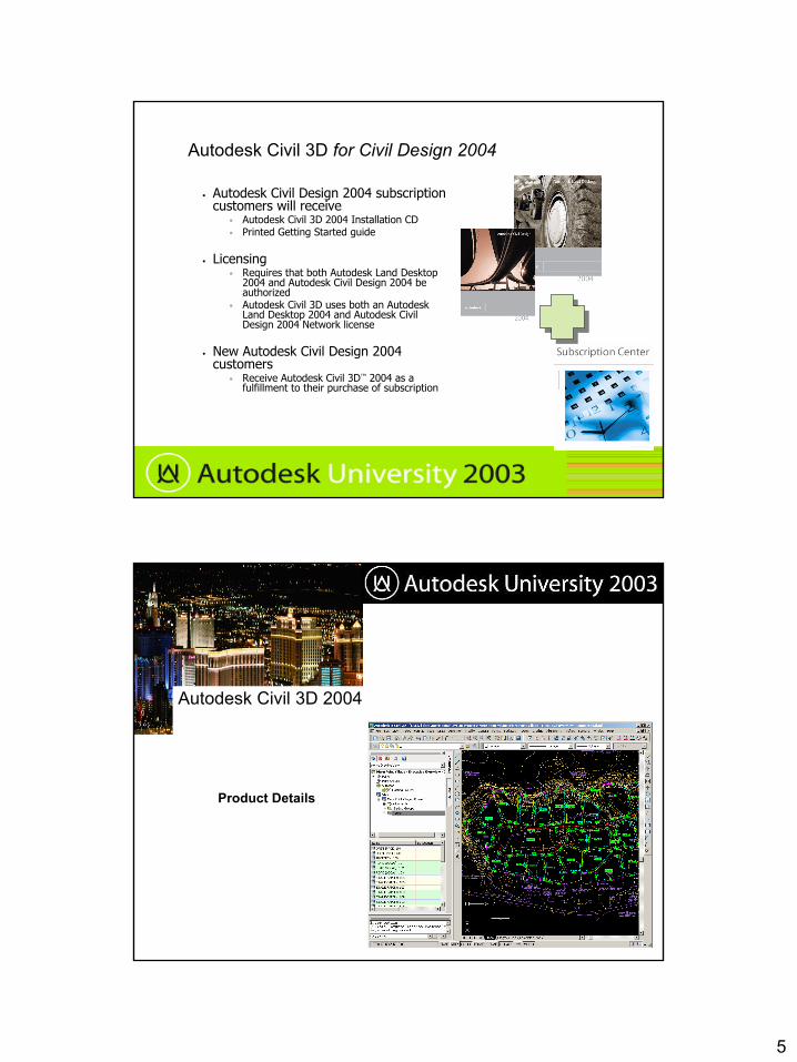
Autodesk Civil 3D for Civil Design 2004
• Autodesk Civil Design 2004 subscription customers will receive
• Autodesk Civil 3D 2004 Installation CD • Printed Getting Started guide
• Licensing• Requires that both Autodesk Land Desktop
2004 and Autodesk Civil Design 2004 be authorized
• Autodesk Civil 3D uses both an Autodesk Land Desktop 2004 and Autodesk Civil Design 2004 Network license
• New Autodesk Civil Design 2004 customers
• Receive Autodesk Civil 3D™ 2004 as a fulfillment to their purchase of subscription
Autodesk Civil 3D 2004
Product Details
6
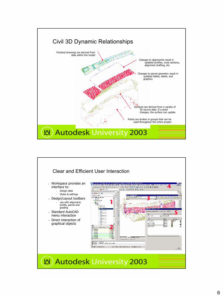
Civil 3D Dynamic Relationships
Points are broken in groups that can be used throughout the entire project
Surfaces are derived from a variety of 3D source data. If a point changes, the surface can update
Changes to parcel geometry result in updated tables, labels, and graphics
Changes to alignments result in updated profiles, cross sections, alignment drafting, etc.
Finished drawings are derived from data within the model
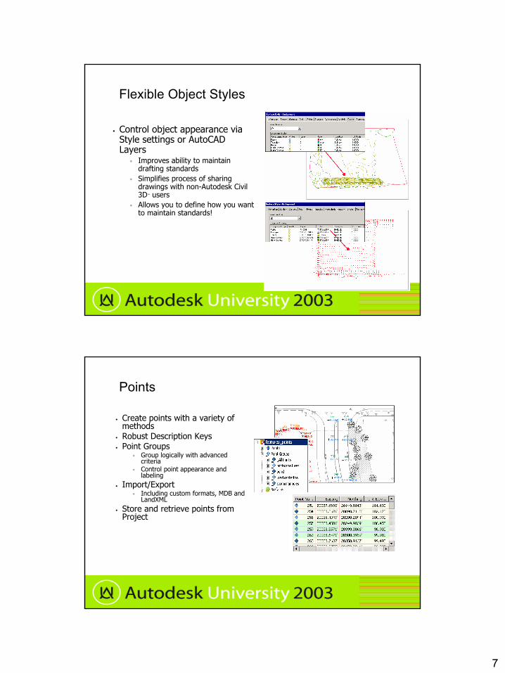
Clear and Efficient User Interaction
• Workspace provides an interface to:
• Design data• Styles & settings
• Design/Layout toolbars• use with alignment,
profile, parcel and grading
• Standard AutoCAD menu interaction
• Direct interaction of graphical objects
7
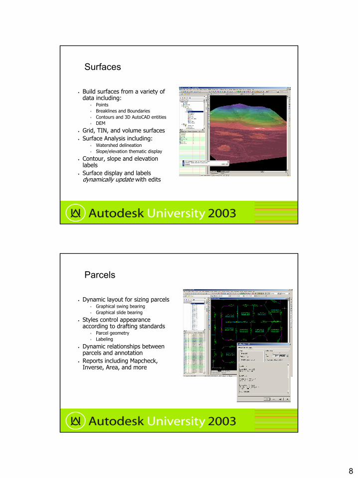
Flexible Object Styles
• Control object appearance via Style settings or AutoCAD Layers
• Improves ability to maintain drafting standards
• Simplifies process of sharing drawings with non-Autodesk Civil 3D™ users
• Allows you to define how you want to maintain standards!
Points
• Create points with a variety of methods
• Robust Description Keys • Point Groups
• Group logically with advanced criteria
• Control point appearance and labeling
• Import/Export • Including custom formats, MDB and
LandXML• Store and retrieve points from
Project
8
Surfaces
• Build surfaces from a variety of data including:
• Points • Breaklines and Boundaries• Contours and 3D AutoCAD entities• DEM
• Grid, TIN, and volume surfaces• Surface Analysis including:
• Watershed delineation• Slope/elevation thematic display
• Contour, slope and elevation labels
• Surface display and labels dynamically update with edits
Parcels
• Dynamic layout for sizing parcels• Graphical swing bearing• Graphical slide bearing
• Styles control appearance according to drafting standards
• Parcel geometry• Labeling
• Dynamic relationships between parcels and annotation
• Reports including Mapcheck, Inverse, Area, and more
9
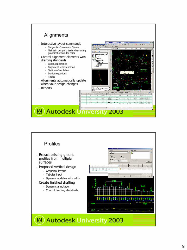
Alignments• Interactive layout commands
• Tangents, Curves and Spirals• Maintain design criteria when using
graphical or tabular edits
• Control alignment elements with drafting standards
• Label appearance• Alignment representation• Station-offset labels• Station equations• Tables
• Alignments automatically update when your design changes
• Reports
Profiles
• Extract existing ground profiles from multiple surfaces
• Proposed vertical design• Graphical layout• Tabular input• Dynamic updates with edits
• Create finished drafting• Dynamic annotation• Control drafting standards
10
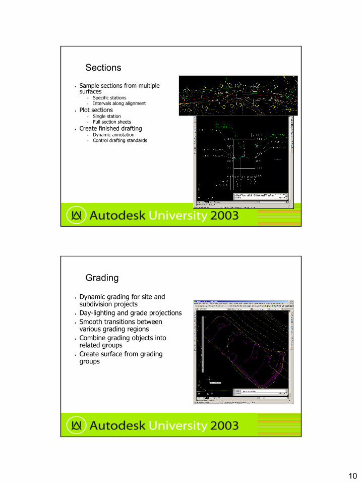
Sections
• Sample sections from multiple surfaces
• Specific stations• Intervals along alignment
• Plot sections• Single station • Full section sheets
• Create finished drafting• Dynamic annotation• Control drafting standards
Grading
• Dynamic grading for site and subdivision projects
• Day-lighting and grade projections• Smooth transitions between
various grading regions• Combine grading objects into
related groups• Create surface from grading
groups
11
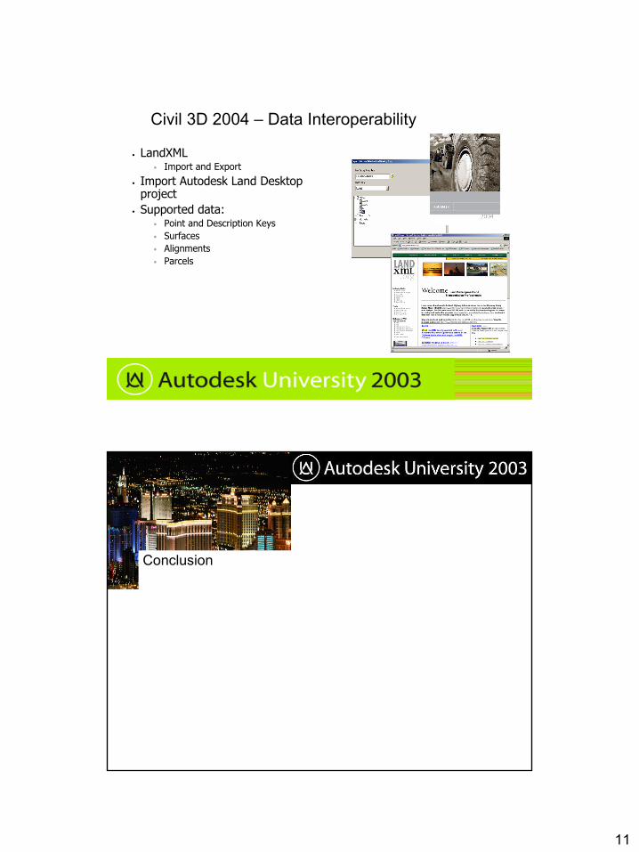
Civil 3D 2004 – Data Interoperability
• LandXML• Import and Export
• Import Autodesk Land Desktop project
• Supported data:• Point and Description Keys• Surfaces• Alignments• Parcels
Conclusion
12
Key Takeaways
• What is Autodesk Civil 3D 2004? • Autodesk Civil 3D 2004 is a civil engineering tool that creates intelligent
relationships between objects, so that your design changes are dynamicallyupdated
• How do I get it?• Available to Autodesk Civil Series 2004 and Autodesk Civil Design 2004
Subscription customers• Not yet being sold as a standalone product
• This initial release is a Preview for subscription customers. We recommend that you use it to:
• Learn the new concepts and workflow• Prepare your organization to embrace the benefits of future technology• SP1 will be available mid Dec – we’ll provide new guidelines on usage