Embed Size (px)
Citation preview
ArcGIS Hub: Open data best practices
Graham Hudgins, esri product engineer
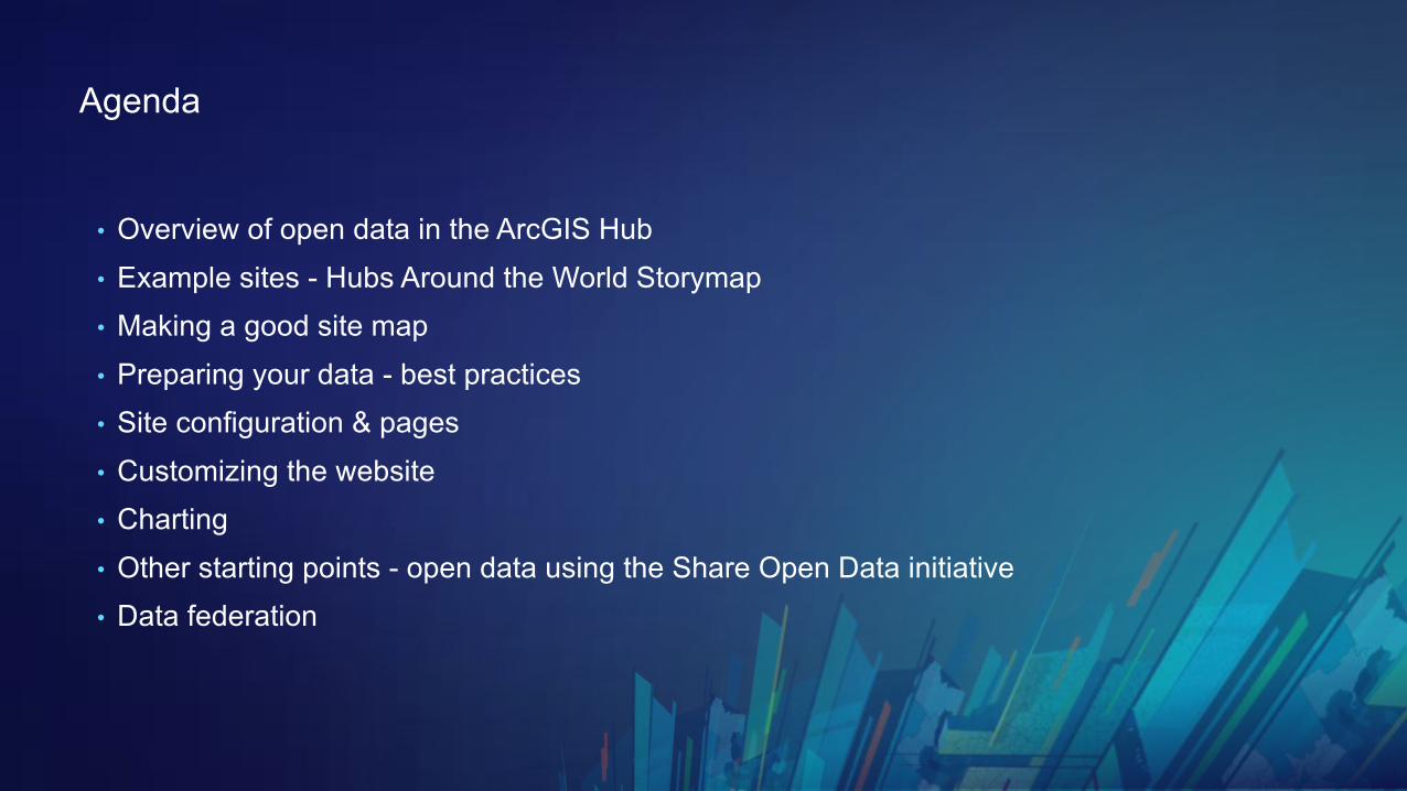
Agenda
• Overview of open data in the ArcGIS Hub• Example sites - Hubs Around the World Storymap• Making a good site map• Preparing your data - best practices• Site configuration & pages• Customizing the website• Charting• Other starting points - open data using the Share Open Data initiative• Data federation

An overview of open data
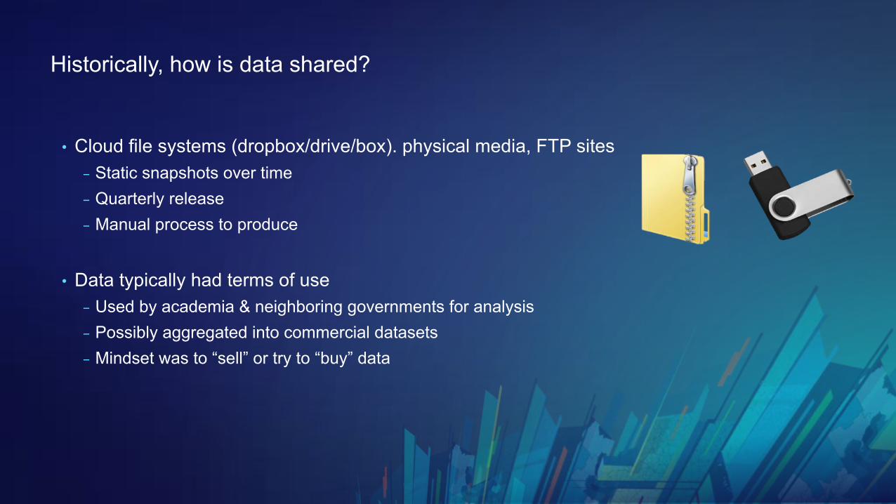
Historically, how is data shared?
• Cloud file systems (dropbox/drive/box). physical media, FTP sites- Static snapshots over time- Quarterly release- Manual process to produce
• Data typically had terms of use- Used by academia & neighboring governments for analysis- Possibly aggregated into commercial datasets- Mindset was to “sell” or try to “buy” data
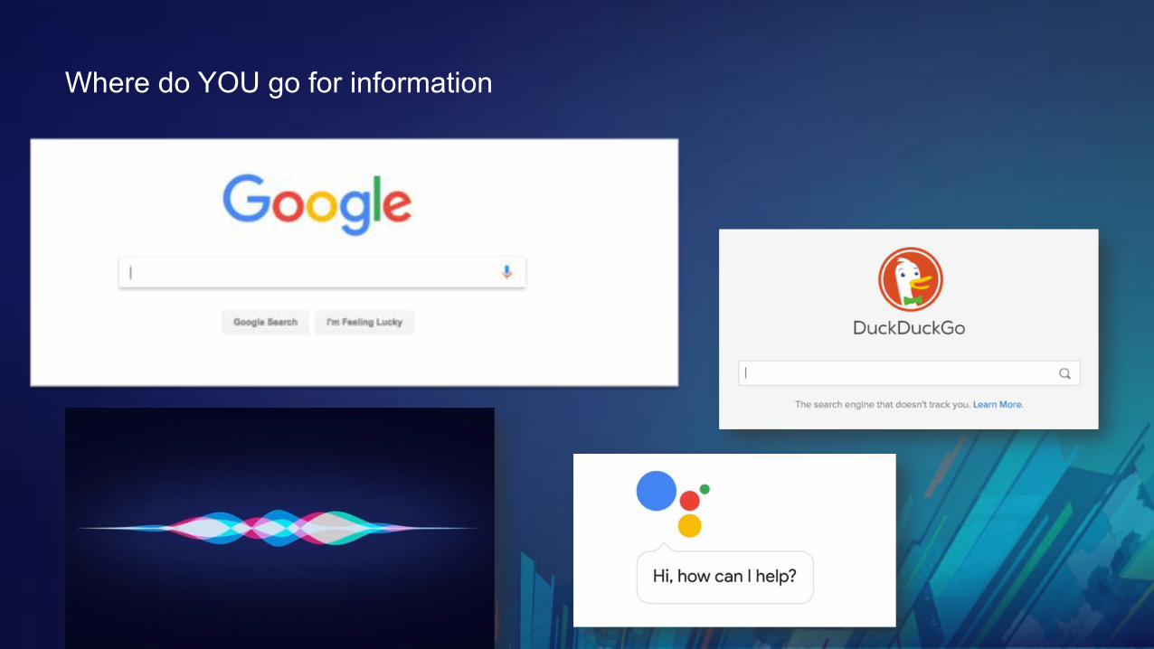
Where do YOU go for information
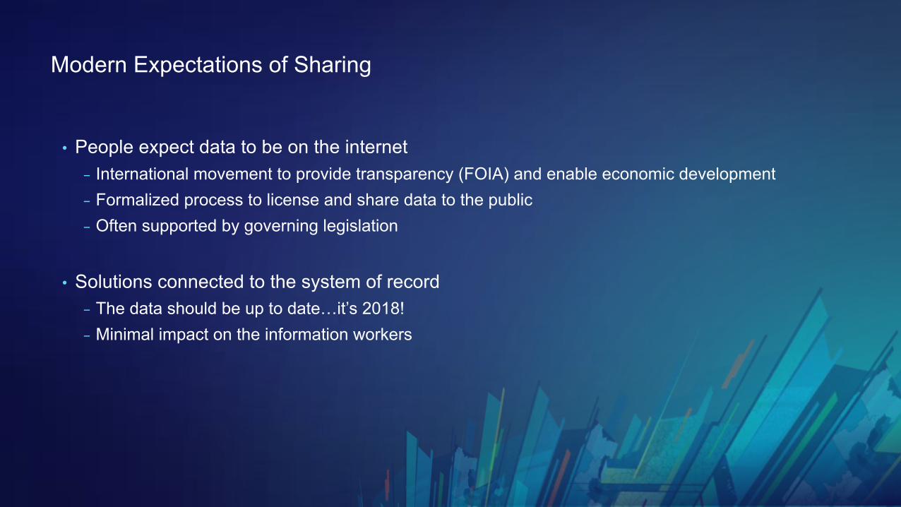
Modern Expectations of Sharing
• People expect data to be on the internet- International movement to provide transparency (FOIA) and enable economic development- Formalized process to license and share data to the public- Often supported by governing legislation
• Solutions connected to the system of record- The data should be up to date…it’s 2018! - Minimal impact on the information workers
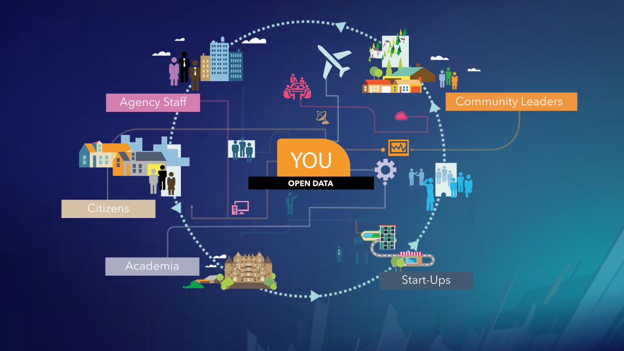
YOULOCATION STRATEGYOPEN DATA
Community Leaders
Start-UpsAcademia
Citizens
Agency Staff
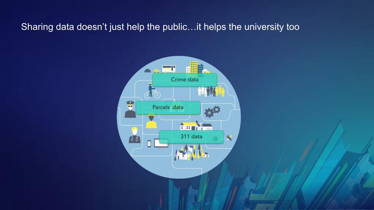
Sharing data doesn’t just help the public…it helps the university too
Parcels data
311 data
Crime data
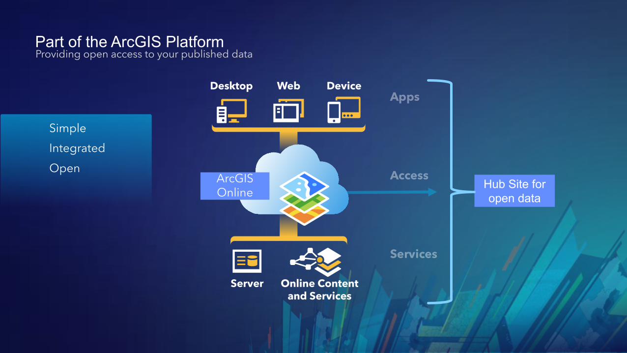
Part of the ArcGIS Platform
Hub Site foropen data
Providing open access to your published data
SimpleIntegratedOpen
Desktop Web Device
Server Online Content and Services
ArcGIS Online
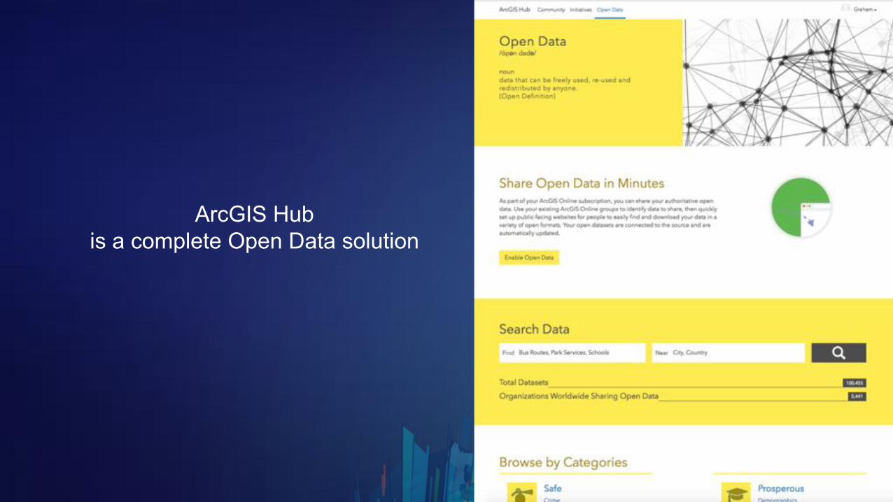
ArcGIS Hubis a complete Open Data solution
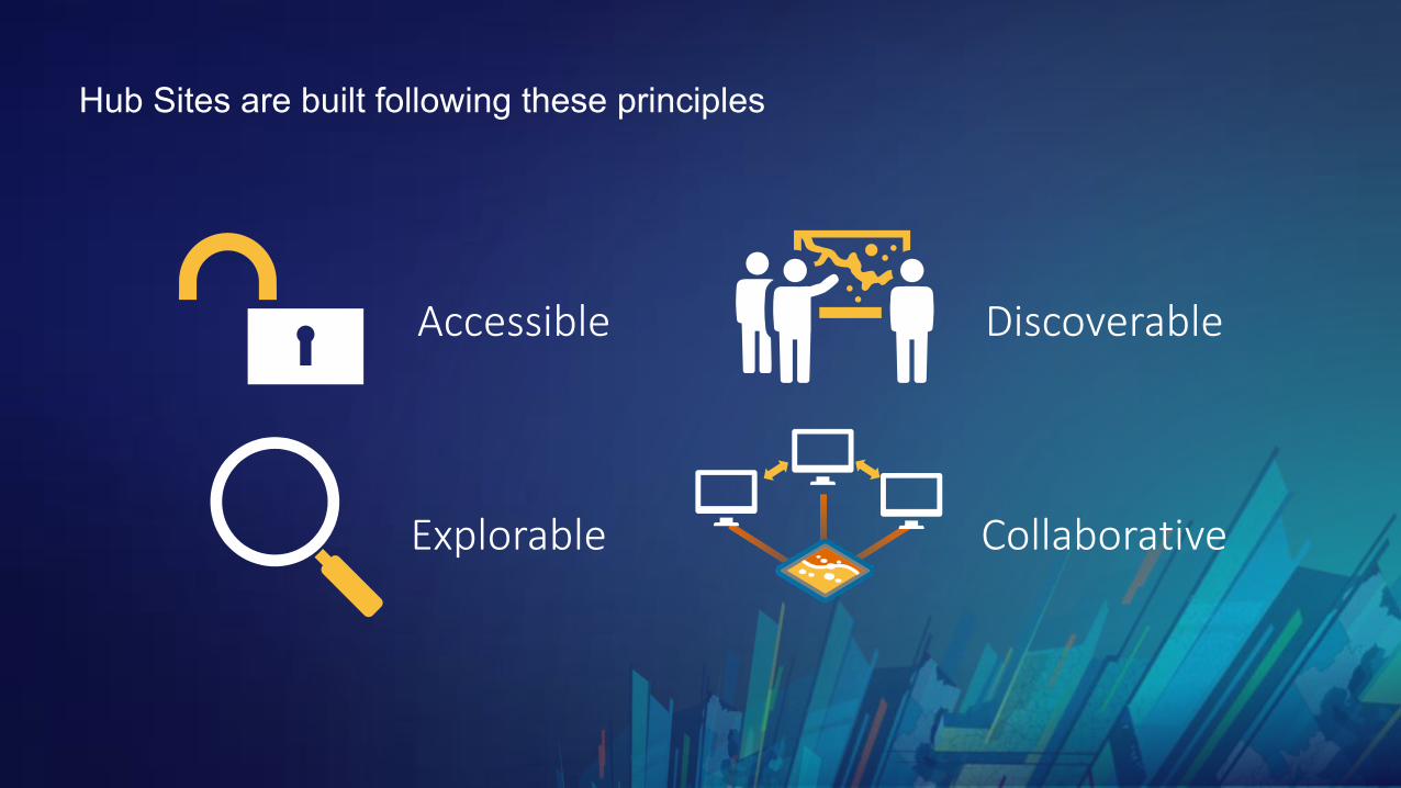
Hub Sites are built following these principles
Accessible Discoverable
Explorable Collaborative
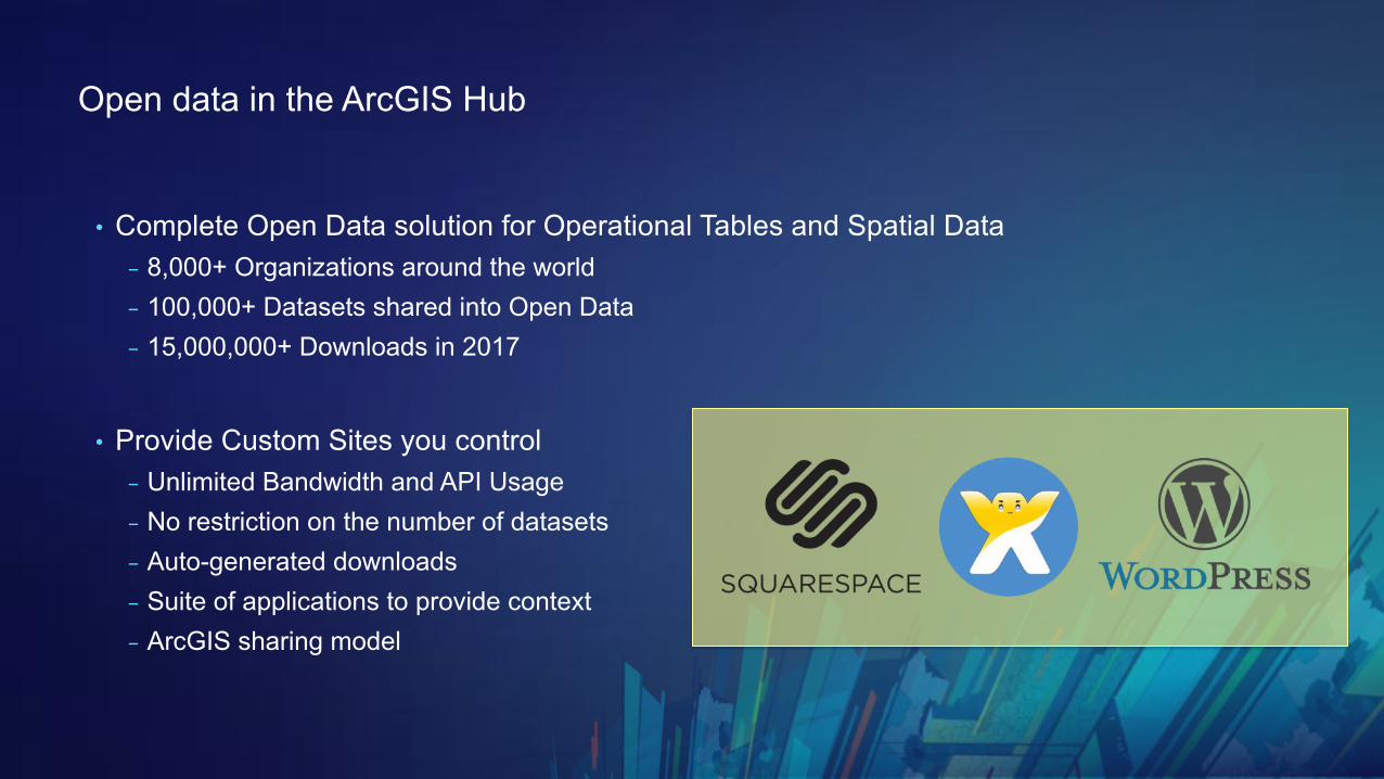
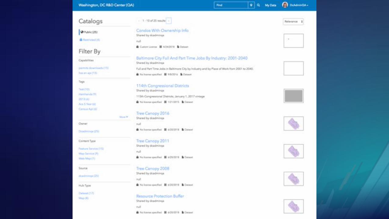
Open data in the ArcGIS Hub
• Complete Open Data solution for Operational Tables and Spatial Data- 8,000+ Organizations around the world- 100,000+ Datasets shared into Open Data- 15,000,000+ Downloads in 2017
• Provide Custom Sites you control- Unlimited Bandwidth and API Usage- No restriction on the number of datasets- Auto-generated downloads- Suite of applications to provide context - ArcGIS sharing model
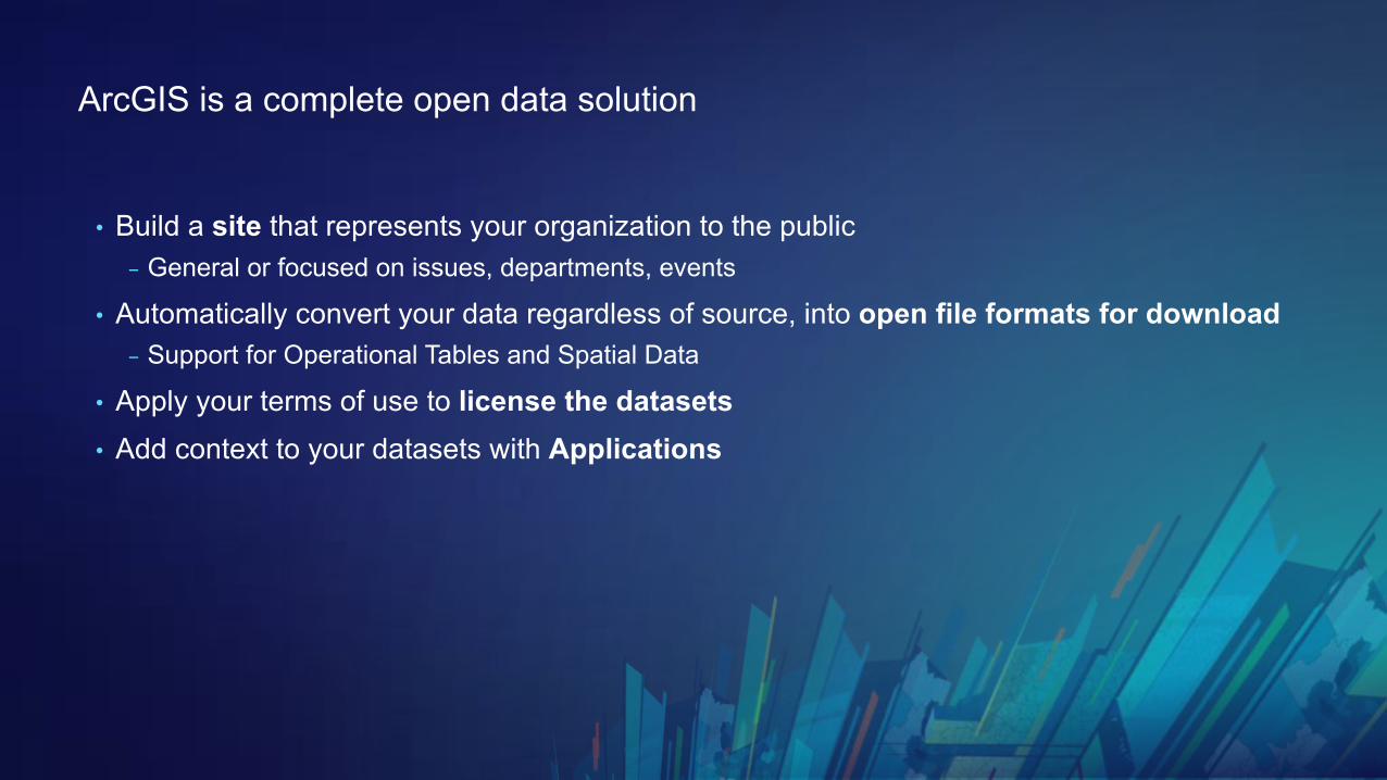
ArcGIS is a complete open data solution
• Build a site that represents your organization to the public- General or focused on issues, departments, events
• Automatically convert your data regardless of source, into open file formats for download- Support for Operational Tables and Spatial Data
• Apply your terms of use to license the datasets• Add context to your datasets with Applications
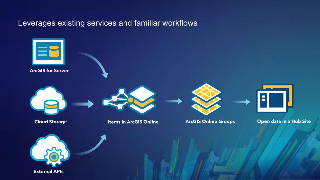
Leverages existing services and familiar workflows
ArcGIS for Server
Cloud Storage Items in ArcGIS Online Open data in a Hub SiteArcGIS Online Groups
External APIs
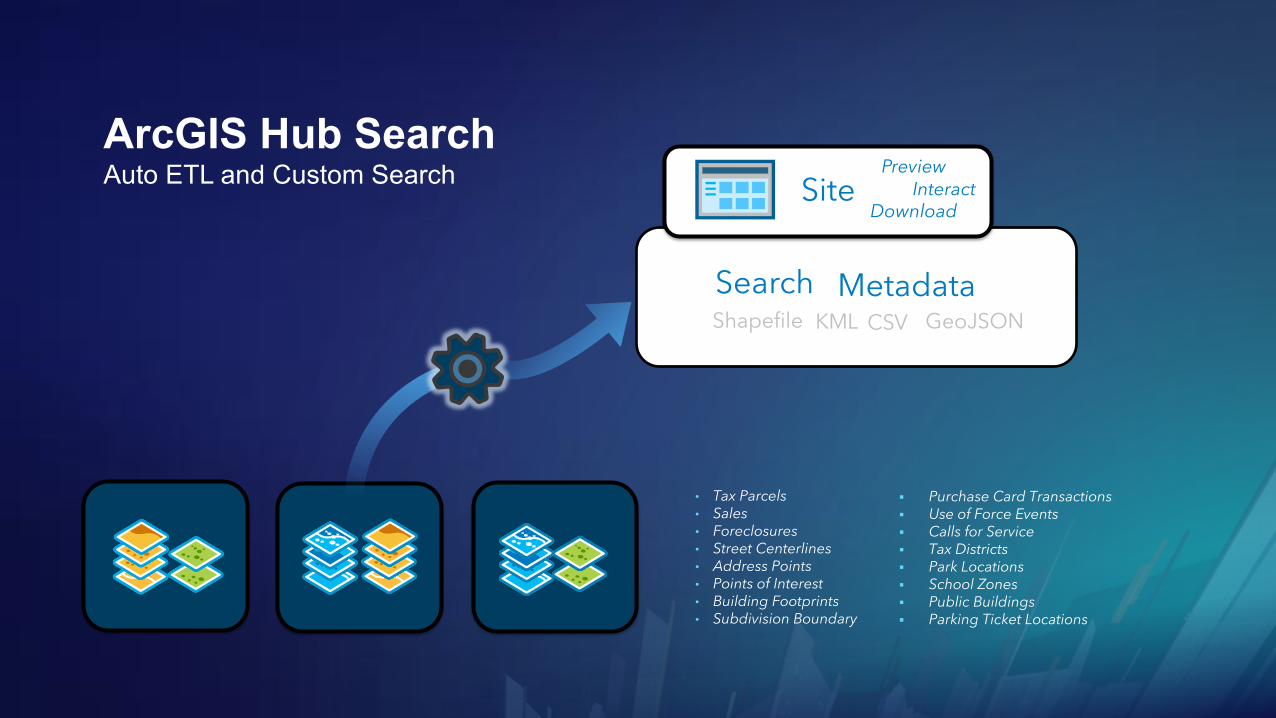
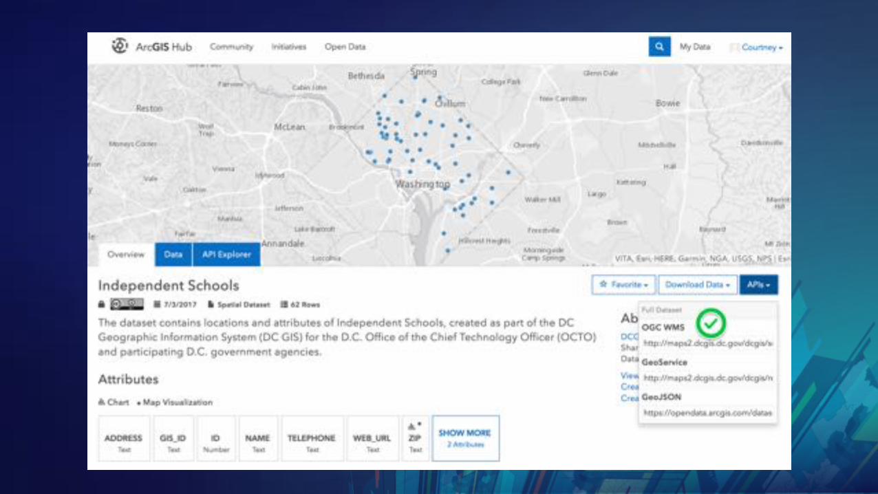
ArcGIS Hub Search Auto ETL and Custom Search
MetadataSearchShapefile KML GeoJSONCSV
• Tax Parcels• Sales• Foreclosures• Street Centerlines• Address Points• Points of Interest• Building Footprints• Subdivision Boundary
§ Purchase Card Transactions§ Use of Force Events§ Calls for Service§ Tax Districts§ Park Locations§ School Zones§ Public Buildings§ Parking Ticket Locations
Site InteractDownload
Preview
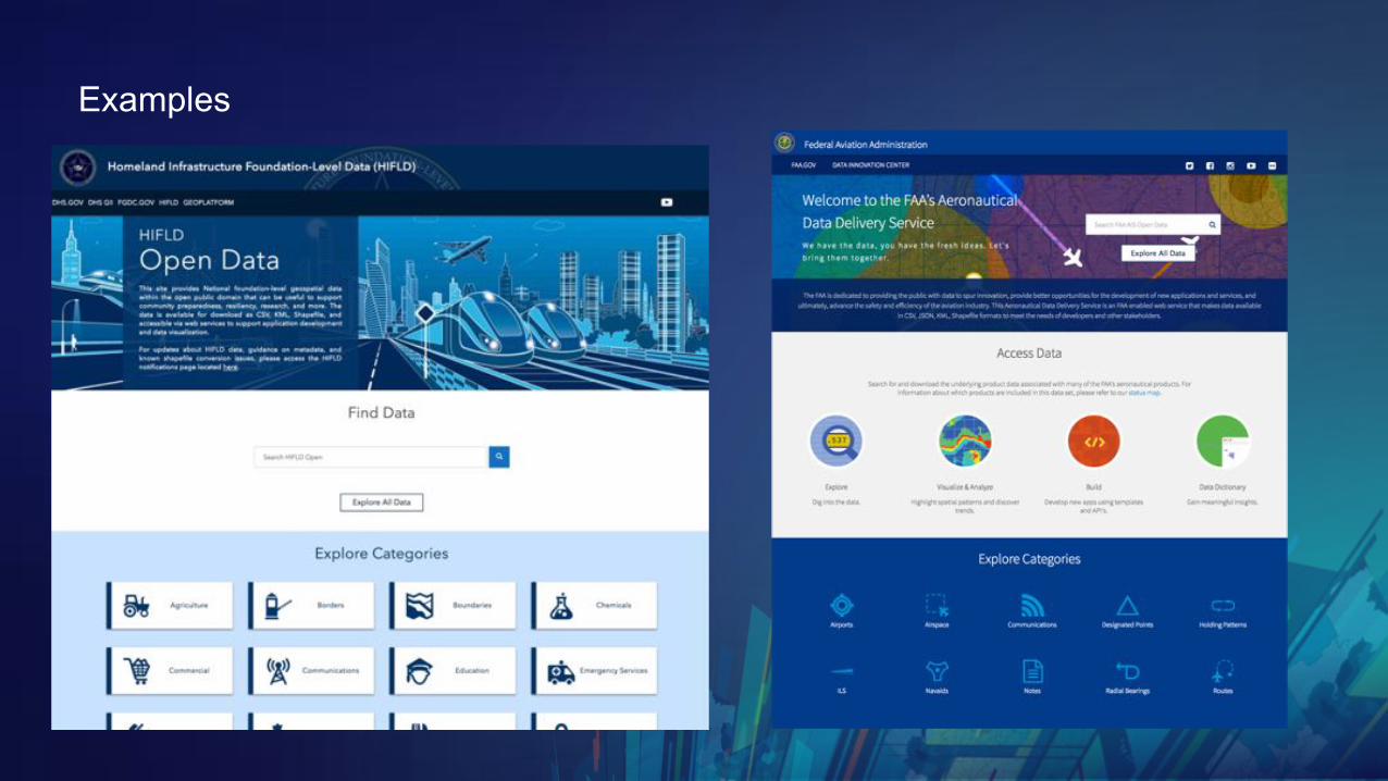
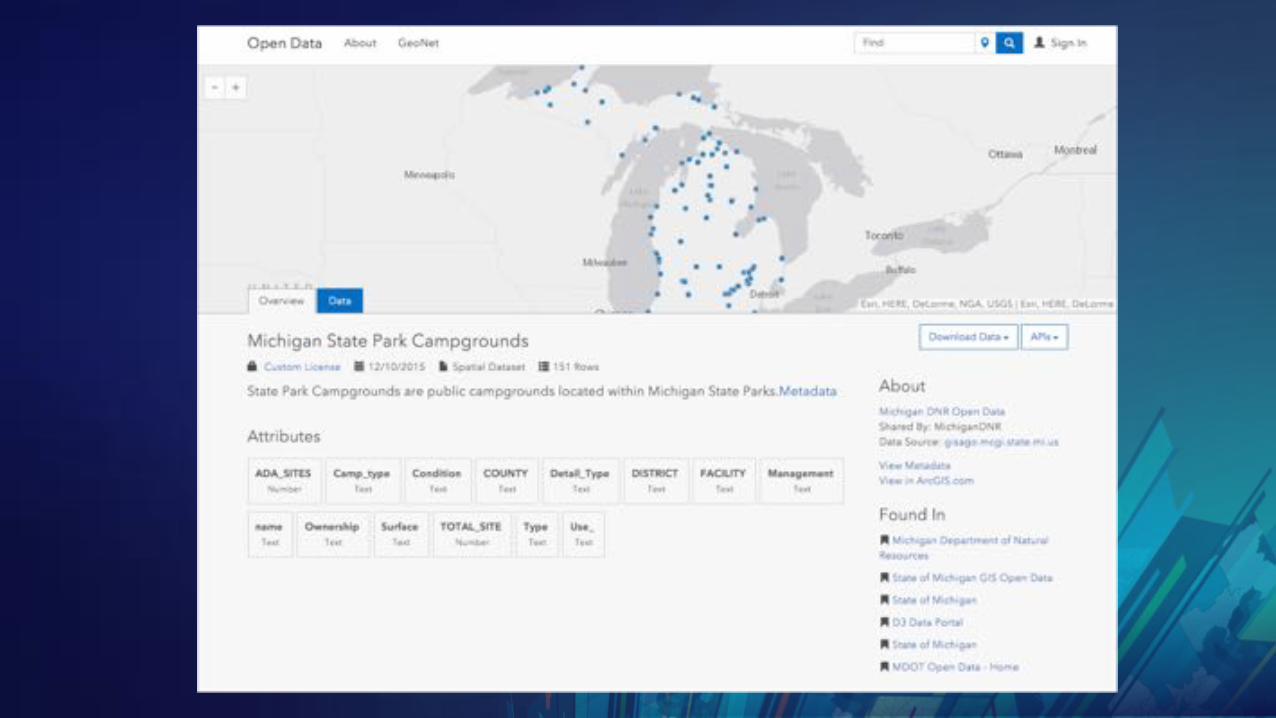
Examples
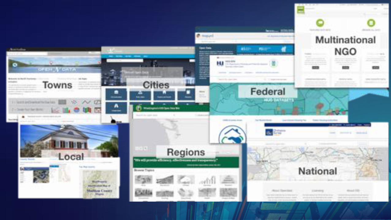

ArcGIS Hubs Around the Worldhttp://www.arcgis.com/apps/MapJournal/index.html?appid=107cac32de164b5fb7da99aceb33939c

Make a site map

Site map will help direct structure
• Organization’s home page- Overall open data Hub Site
- Hub Page City Dashboard- Hub Page Frequent datasets- Hub Page about organization*
- Initiative site – Reduce Homelessness- Hub Page on indicators / charts- Hub Page about organization*
- Initiative site – Our Strategic Plan- Hub Page on indicators / charts- Hub Page about organization*
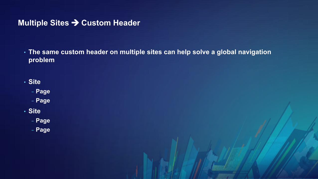
Multiple Sites à Custom Header
• The same custom header on multiple sites can help solve a global navigation problem
• Site- Page - Page
• Site - Page- Page

Best practices for data prep
Getting data and services ready from desktop
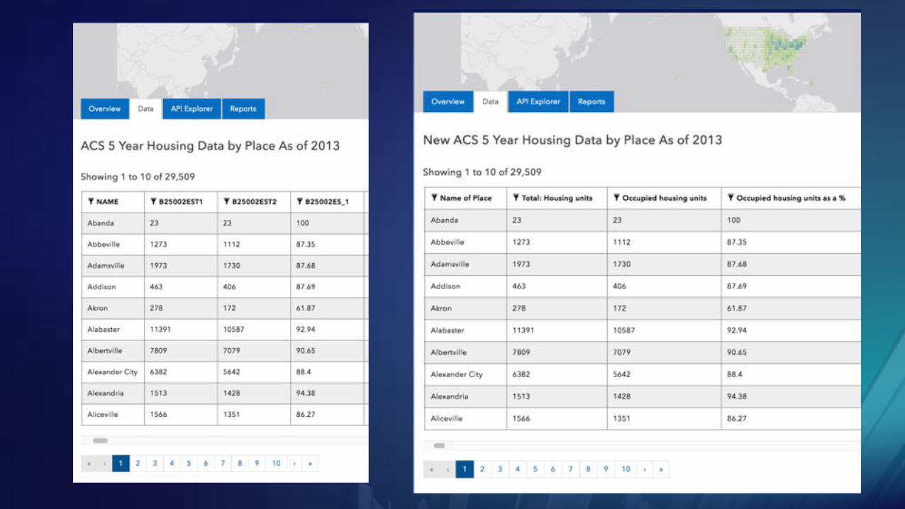
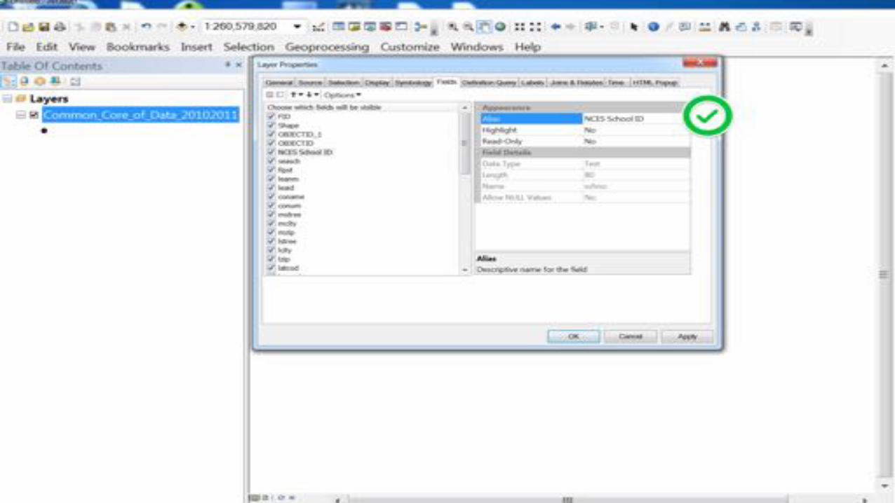
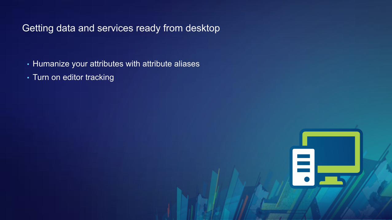
• Humanize your attributes with attribute aliases
Getting data and services ready from desktop
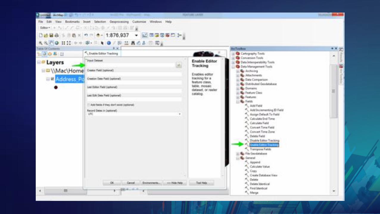
• Humanize your attributes with attribute aliases • Turn on editor tracking
Getting data and services ready from desktop
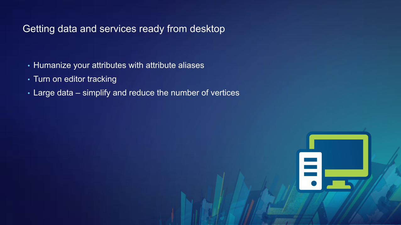
• Humanize your attributes with attribute aliases • Turn on editor tracking• Large data – simplify and reduce the number of vertices
Getting data and services ready from desktop
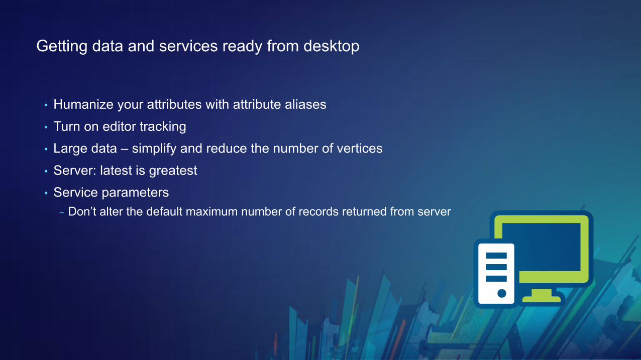
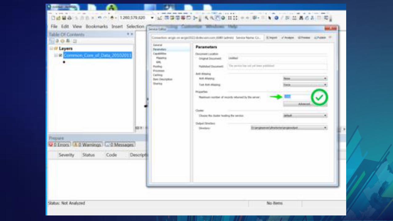
• Humanize your attributes with attribute aliases• Turn on editor tracking• Large data – simplify and reduce the number of vertices • Server: latest is greatest • Service parameters
- Don’t alter the default maximum number of records returned from server
Getting data and services ready from desktop
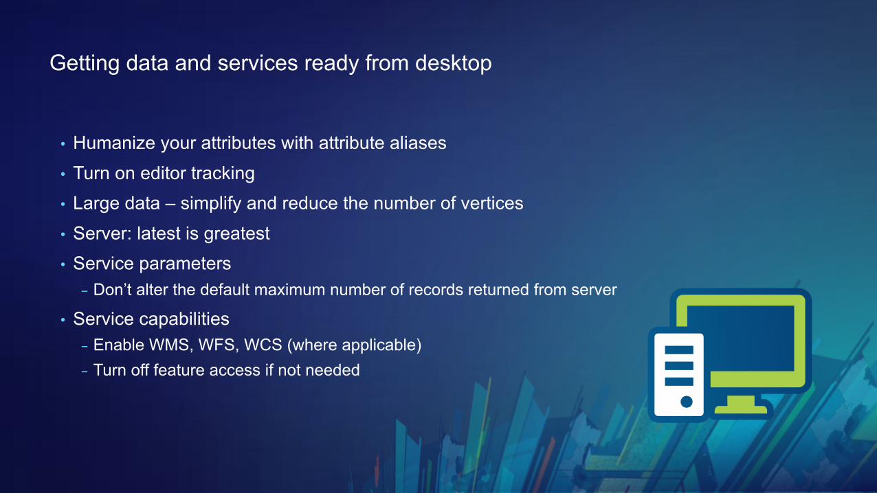
• Humanize your attributes with attribute aliases• Turn on editor tracking• Large data – simplify and reduce the number of vertices • Server: latest is greatest • Service parameters
- Don’t alter the default maximum number of records returned from server
• Service capabilities - Enable WMS, WFS, WCS (where applicable)- Turn off feature access if not needed

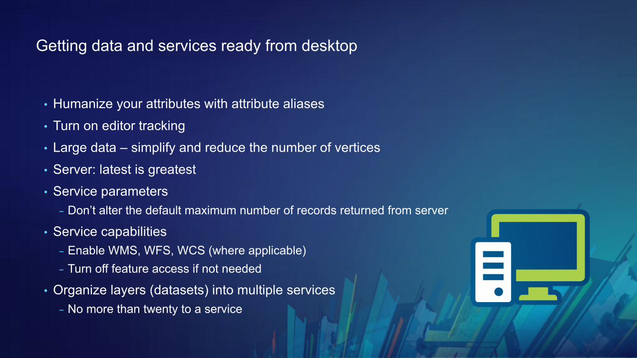
Getting data and services ready from desktop
• Humanize your attributes with attribute aliases• Turn on editor tracking• Large data – simplify and reduce the number of vertices • Server: latest is greatest • Service parameters
- Don’t alter the default maximum number of records returned from server
• Service capabilities - Enable WMS, WFS, WCS (where applicable)- Turn off feature access if not needed
• Organize layers (datasets) into multiple services - No more than twenty to a service
Hosted or on premises?
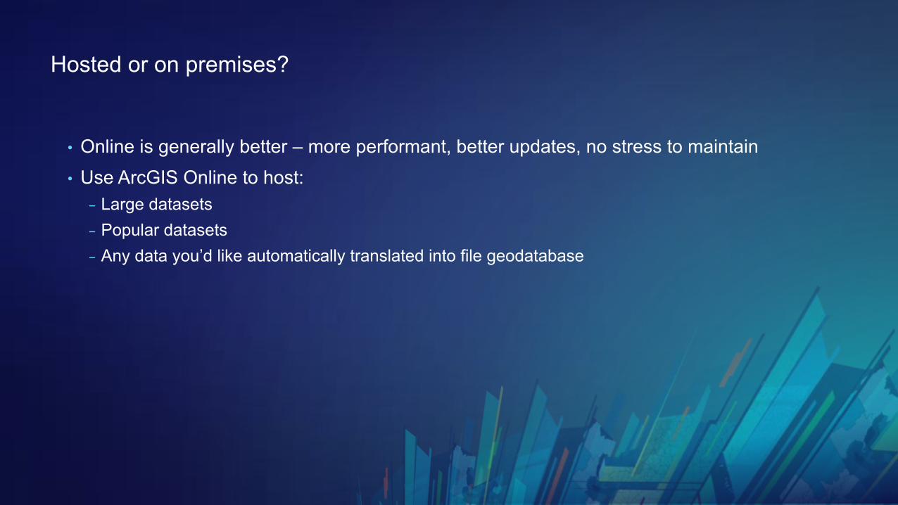
• Online is generally better – more performant, better updates, no stress to maintain• Use ArcGIS Online to host:
- Large datasets- Popular datasets- Any data you’d like automatically translated into file geodatabase
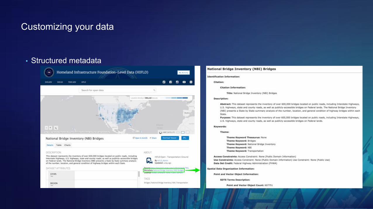
Customizing your data
• Structured metadata
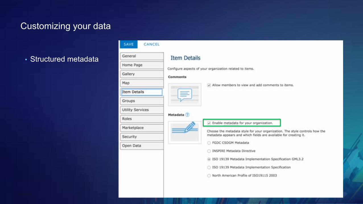
Customizing your data
• Structured metadata
Customizing your data
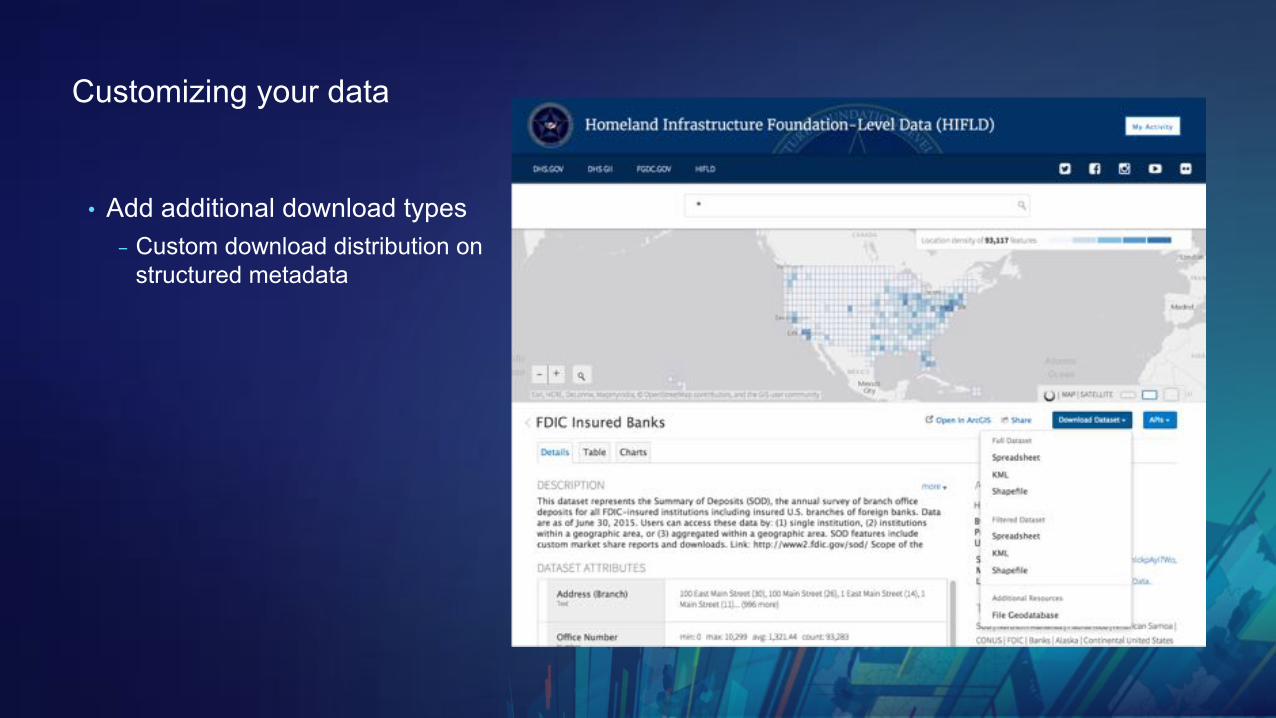
• Add additional download types- Custom download distribution on
structured metadata
Customizing your data
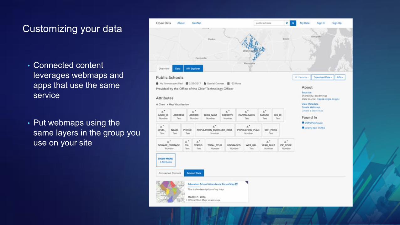
• Connected content leverages webmaps and apps that use the same service
• Put webmaps using the same layers in the group you use on your site
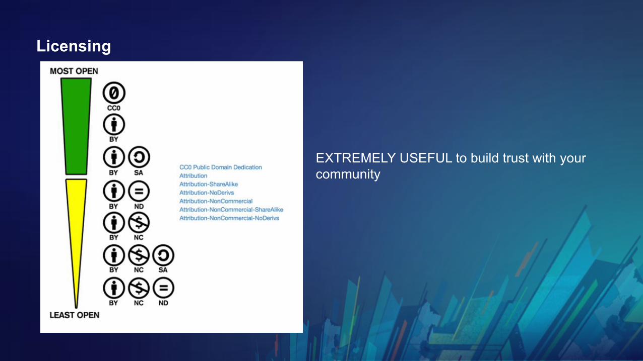
Licensing
EXTREMELY USEFUL to build trust with your community

Site settings best practices
Best practices using & re-using pages

Customizing your website
“Can you send me some HTML examples?”(It’s also in the Text card)
https://hub.arcgis.com/pages/site-customization

https://esri.github.io/ember-cli-cedar/#/charts/bar
Charting resources

Data federation
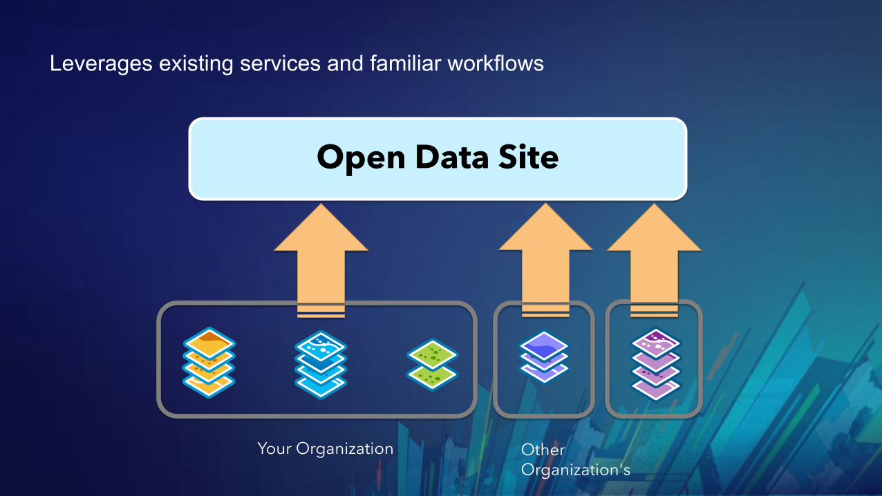
Leverages existing services and familiar workflows
Open Data Site
Your Organization Other Organization's

Private data on Hub Sites

Major upgrades of your sites

Limiting who can edit your sites
Managing your site using the Open Data initiative

What’s next for ArcGIS Hub

Non-Reliance Notice

Features that will be out in 1-2 months
Coming soon
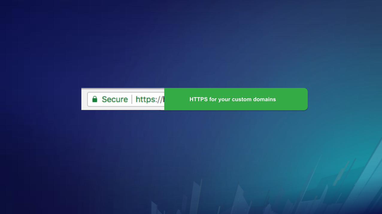
HTTPS for your custom domains
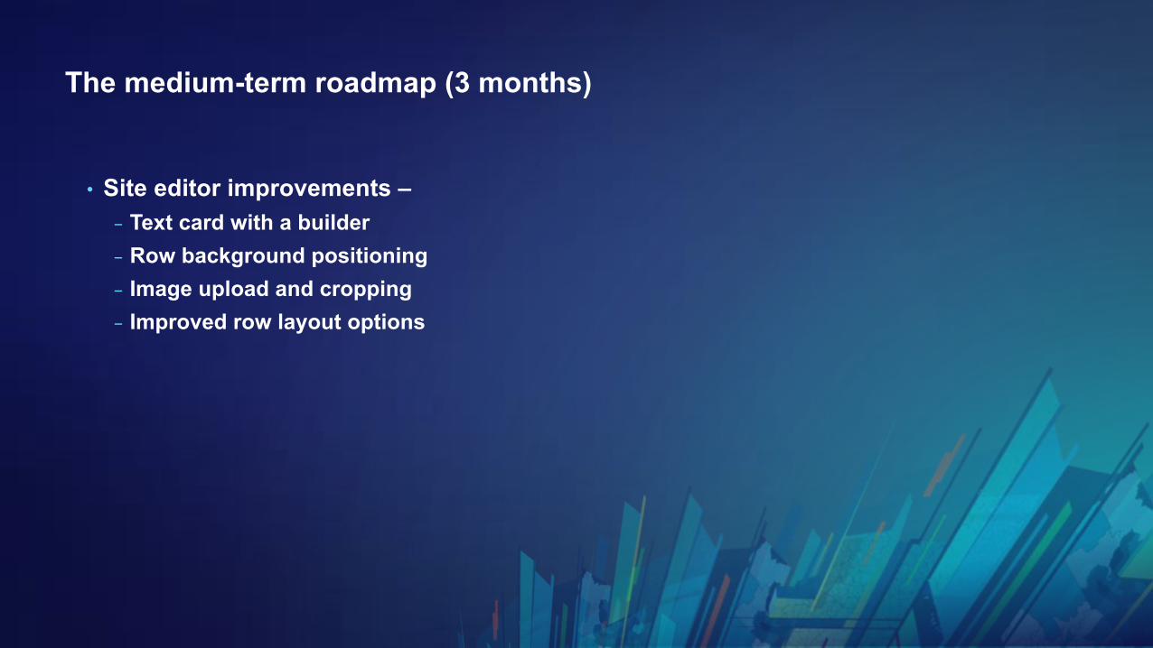
The medium-term roadmap (3 months)
• Site editor improvements –- Text card with a builder- Row background positioning- Image upload and cropping- Improved row layout options
Questions?
Thank you for making your data accessible to your community
Please Take Our Survey on the Esri Events App!
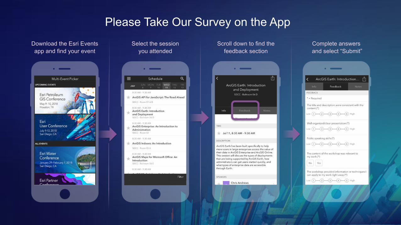
Please Take Our Survey on the AppDownload the Esri Events app and find your event
Select the session you attended
Scroll down to find the feedback section
Complete answersand select “Submit”

See Us Here
• Title
WORKSHOP LOCATION
• Where
TIME FRAME
• 12:00 – 1:00