Embed Size (px)
Citation preview
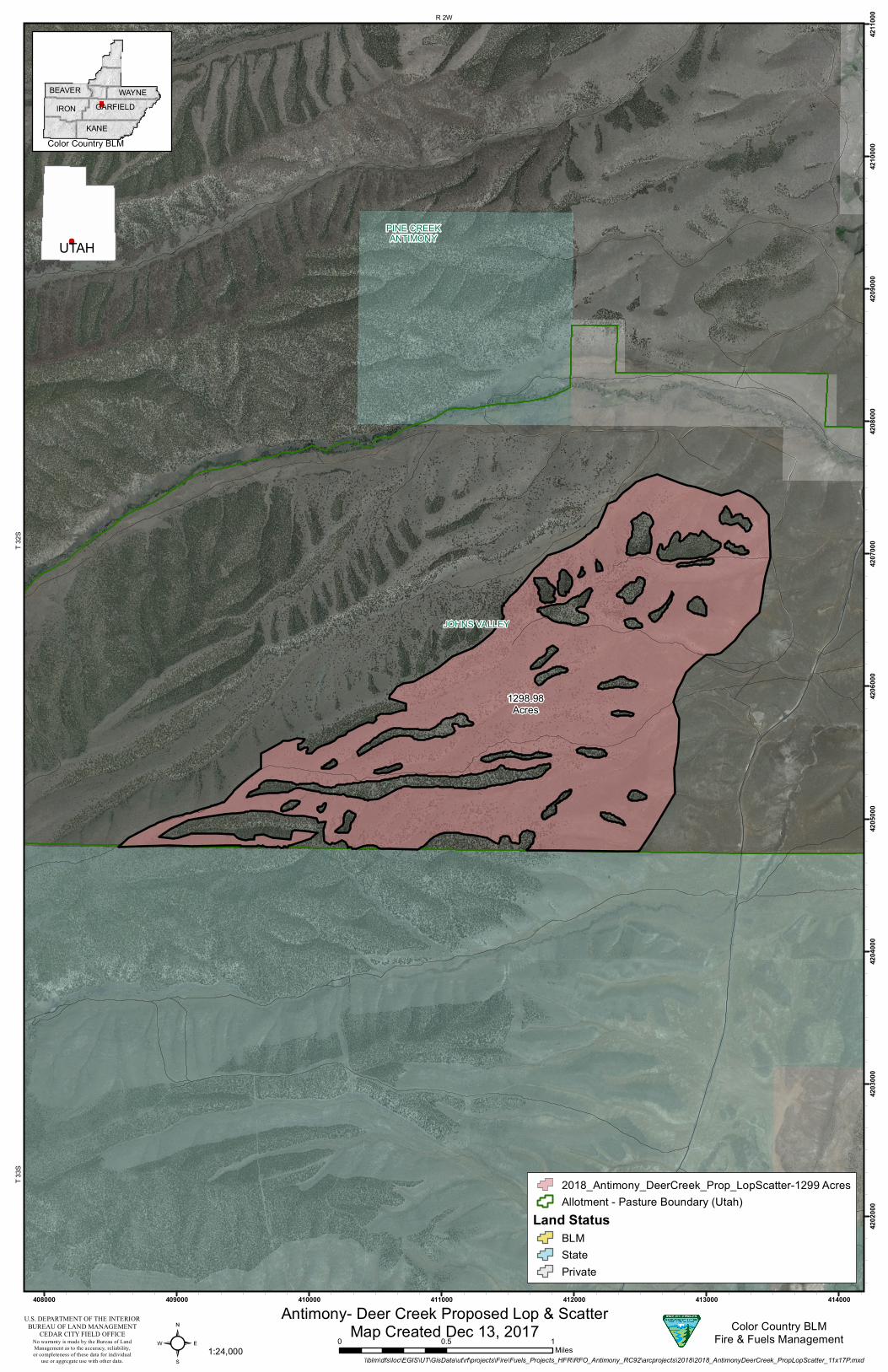
Antimony- Deer Creek Proposed Lop & ScatterMap Created Dec 13, 2017
U.S. DEPARTMENT OF THE INTERIORBUREAU OF LAND MANAGEMENT
CEDAR CITY FIELD OFFICENo warranty is made by the Bureau of LandManagement as to the accuracy, reliability,or completeness of these data for individual
use or aggregate use with other data. \\blm\dfs\loc\EGIS\UT\GisData\ut\rf\projects\Fire\Fuels_Projects_HFR\RFO_Antimony_RC92\arcprojects\2018\2018_AntimonyDeerCreek_PropLopScatter_11x17P.mxd
PINE CREEKANTIMONY
JOHNS VALLEY
1298.98Acres
R 2WT 3
2ST 3
3S
408000 409000 410000 411000 412000 413000 414000
4202
000
4203
000
4204
000
4205
000
4206
000
4207
000
4208
000
4209
000
4210
000
4211
000
KANE
GARFIELDIRONBEAVER WAYNE
Color Country BLM
0 0.5 1Miles1:24,000
2018_Antimony_DeerCreek_Prop_LopScatter-1299 AcresAllotment - Pasture Boundary (Utah)
Land StatusBLMStatePrivate
²
UTAH
Color Country BLMFire & Fuels Management