Embed Size (px)
Citation preview
VCCS Geospatial Institute Chapter 1 ‐ Overview and Introduction to Geospatial Technologies
Blacksburg, VAJuly 24th – 30th, 2010 An Introduction to GIS | Page 1
An Introduction to GIS
With support from:
Prepared by:
Rodney Clayton, [email protected]
in partnership with:
NSF DUE-0903270
Geospatial Technician Education Through Virginia’s Community Colleges (GTEVCC)
Explore Your World
The Power of Visualization
You Are Here
VCCS Geospatial Institute Chapter 1 ‐ Overview and Introduction to Geospatial Technologies
Blacksburg, VAJuly 24th – 30th, 2010 An Introduction to GIS | Page 2
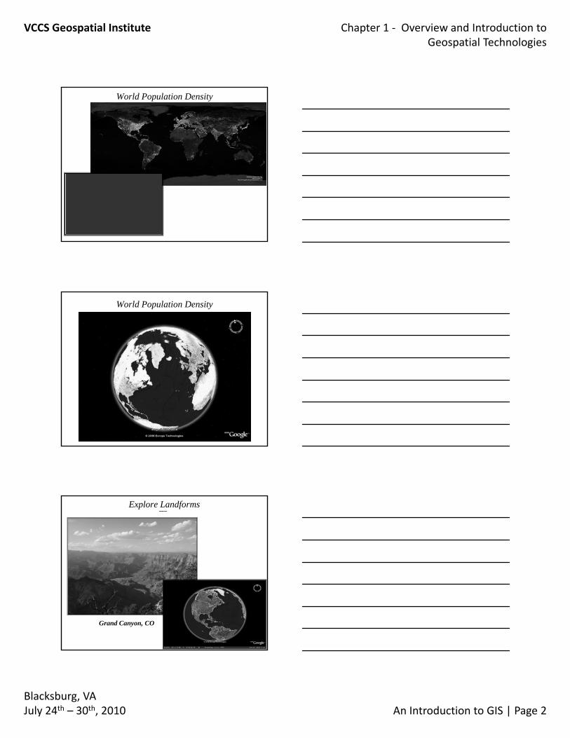
World Population Density
ArcGlobe
World Population Density
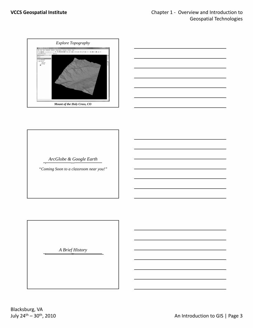
Explore Landforms
Grand Canyon, CO
VCCS Geospatial Institute Chapter 1 ‐ Overview and Introduction to Geospatial Technologies
Blacksburg, VAJuly 24th – 30th, 2010 An Introduction to GIS | Page 3
Explore Topography
Mount of the Holy Cross, CO
ArcGlobe & Google Earth
“Coming Soon to a classroom near you!”
A Brief History
VCCS Geospatial Institute Chapter 1 ‐ Overview and Introduction to Geospatial Technologies
Blacksburg, VAJuly 24th – 30th, 2010 An Introduction to GIS | Page 4
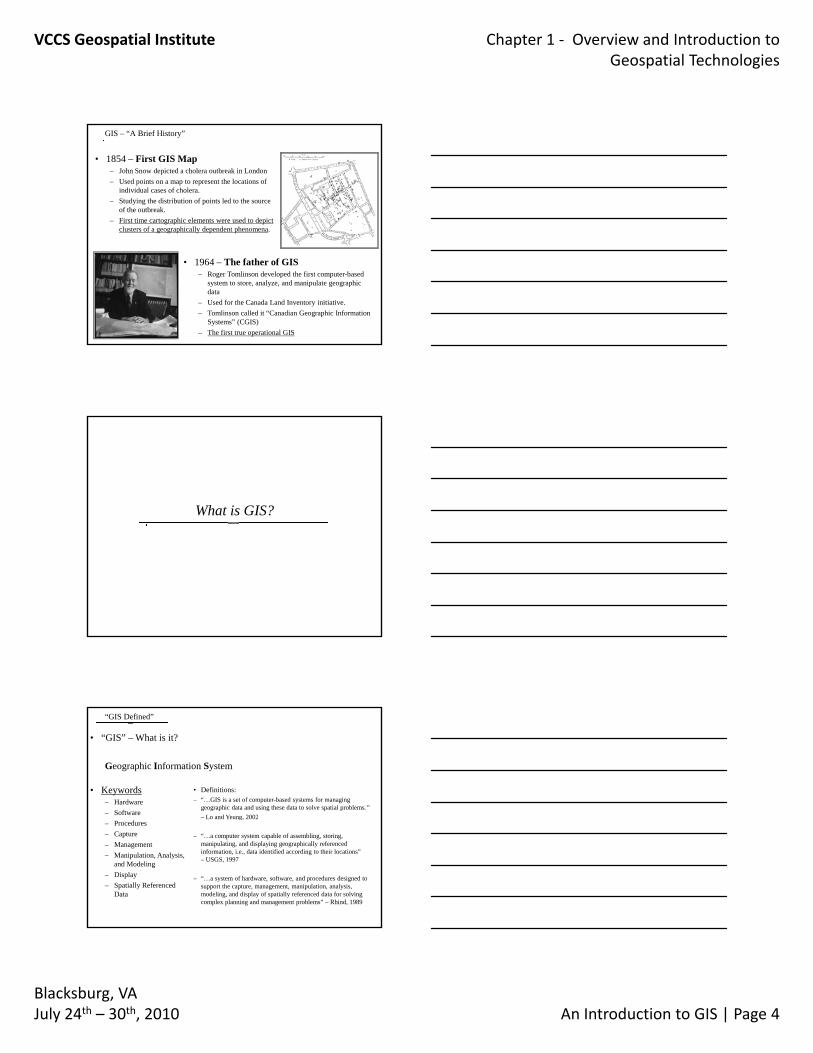
GIS – “A Brief History”
• 1854 – First GIS Map– John Snow depicted a cholera outbreak in London– Used points on a map to represent the locations of
individual cases of cholera.– Studying the distribution of points led to the source
of the outbreak.– First time cartographic elements were used to depict
clusters of a geographically dependent phenomena.
• 1964 – The father of GIS– Roger Tomlinson developed the first computer-based
system to store, analyze, and manipulate geographic data
– Used for the Canada Land Inventory initiative.– Tomlinson called it “Canadian Geographic Information
Systems” (CGIS)– The first true operational GIS
What is GIS?
• “GIS” – What is it?
Geographic Information System
• Definitions:– “…GIS is a set of computer-based systems for managing
geographic data and using these data to solve spatial problems.” – Lo and Yeung 2002
• Keywords– Hardware– Software
“GIS Defined”
Lo and Yeung, 2002
– “…a computer system capable of assembling, storing, manipulating, and displaying geographically referenced information, i.e., data identified according to their locations” – USGS, 1997
– “…a system of hardware, software, and procedures designed to support the capture, management, manipulation, analysis, modeling, and display of spatially referenced data for solving complex planning and management problems” – Rhind, 1989
– Procedures– Capture– Management– Manipulation, Analysis,
and Modeling– Display – Spatially Referenced
Data
VCCS Geospatial Institute Chapter 1 ‐ Overview and Introduction to Geospatial Technologies
Blacksburg, VAJuly 24th – 30th, 2010 An Introduction to GIS | Page 5
• Keywords
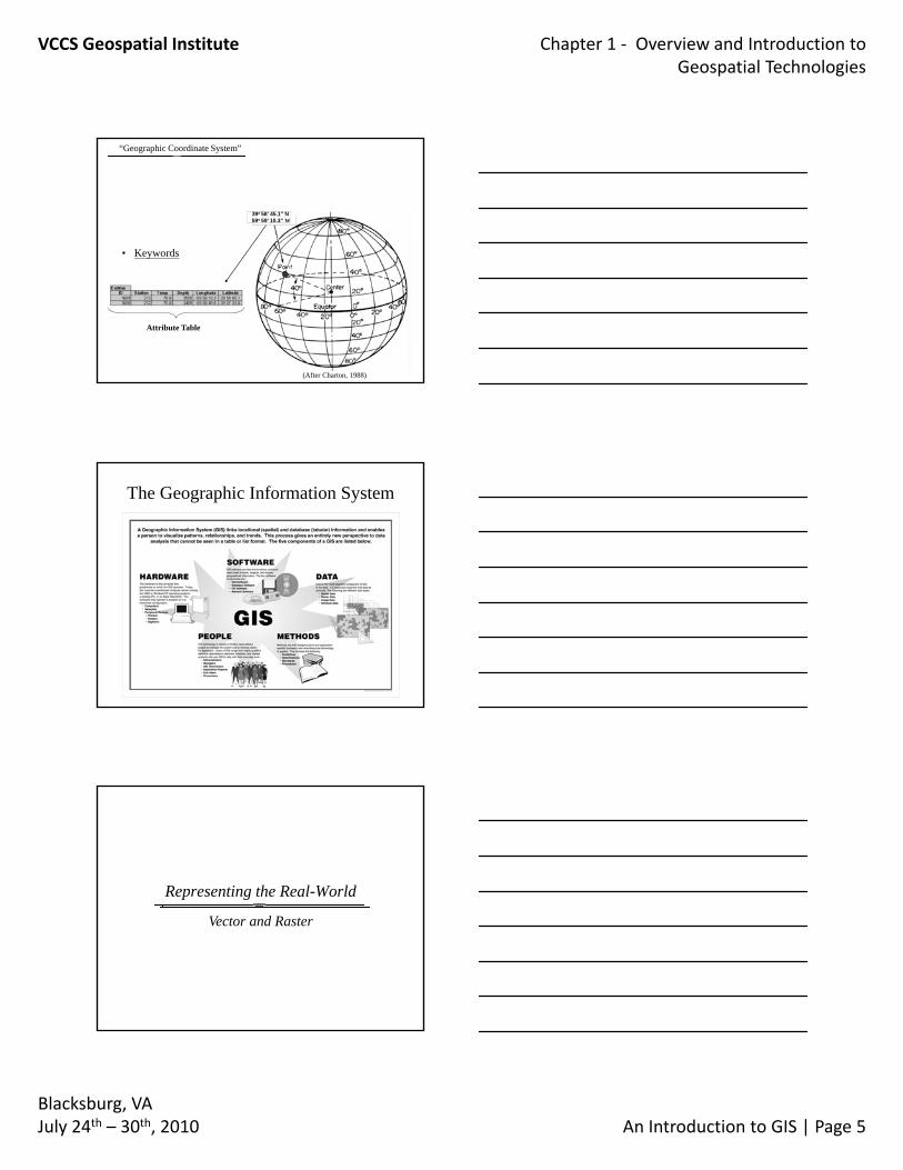
“Geographic Coordinate System”
39o 58’ 45.1” N59o 59’ 10.3” W
– Spatially Referenced Data
(After Charton, 1988)
Attribute Table
The Geographic Information System
Representing the Real-World
Vector and Raster
VCCS Geospatial Institute Chapter 1 ‐ Overview and Introduction to Geospatial Technologies
Blacksburg, VAJuly 24th – 30th, 2010 An Introduction to GIS | Page 6
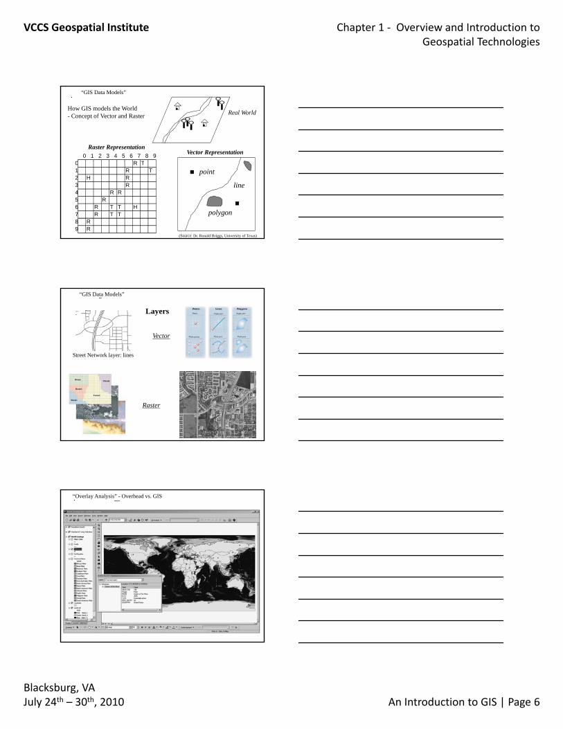
“GIS Data Models”
0 1 2 3 4 5 6 7 8 90 R T
Real World
Vector RepresentationRaster Representation
How GIS models the World- Concept of Vector and Raster
0 R T1 R T2 H R3 R4 R R5 R6 R T T H7 R T T8 R9 R
line
polygon
point
(Source: Dr. Ronald Briggs, University of Texas)
Street Network layer: lines
Vector
Layers
“GIS Data Models”
Raster
“Overlay Analysis” - Overhead vs. GIS
VCCS Geospatial Institute Chapter 1 ‐ Overview and Introduction to Geospatial Technologies
Blacksburg, VAJuly 24th – 30th, 2010 An Introduction to GIS | Page 7
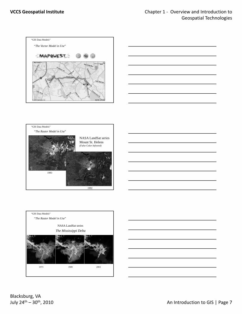
“GIS Data Models”
“The Vector Model in Use”
“GIS Data Models”
“The Raster Model in Use”
NASA LandSat seriesMount St. Helens(False Color Infrared)
1983
1992
The Mississippi Delta
“GIS Data Models”
“The Raster Model in Use”
NASA LandSat series
1973 1989 2003
VCCS Geospatial Institute Chapter 1 ‐ Overview and Introduction to Geospatial Technologies
Blacksburg, VAJuly 24th – 30th, 2010 An Introduction to GIS | Page 8
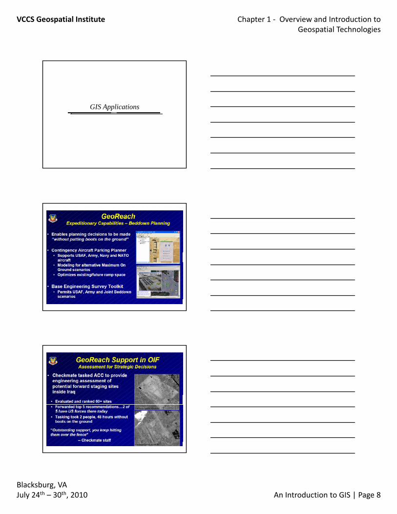
GIS Applications
VCCS Geospatial Institute Chapter 1 ‐ Overview and Introduction to Geospatial Technologies
Blacksburg, VAJuly 24th – 30th, 2010 An Introduction to GIS | Page 9
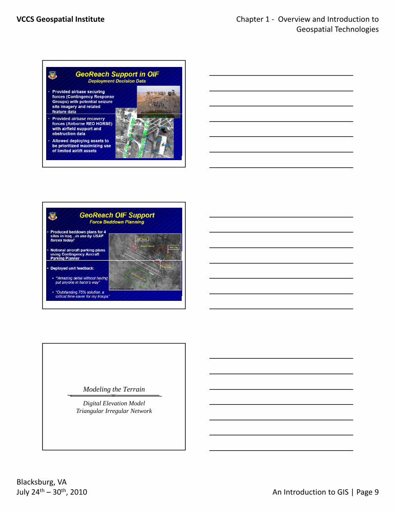
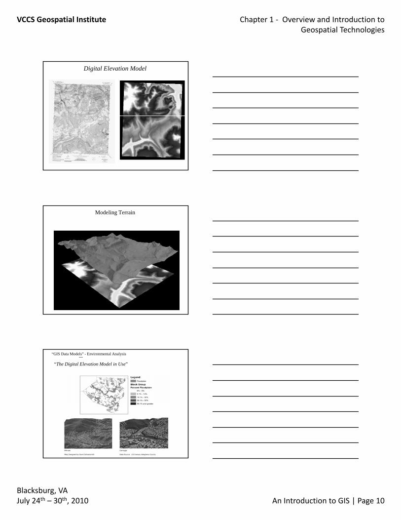
Modeling the Terrain
Digital Elevation ModelTriangular Irregular Network
VCCS Geospatial Institute Chapter 1 ‐ Overview and Introduction to Geospatial Technologies
Blacksburg, VAJuly 24th – 30th, 2010 An Introduction to GIS | Page 10
Digital Elevation Model
Modeling Terrain
TIN
DEM
“GIS Data Models” - Environmental Analysis
“The Digital Elevation Model in Use”
VCCS Geospatial Institute Chapter 1 ‐ Overview and Introduction to Geospatial Technologies
Blacksburg, VAJuly 24th – 30th, 2010 An Introduction to GIS | Page 11
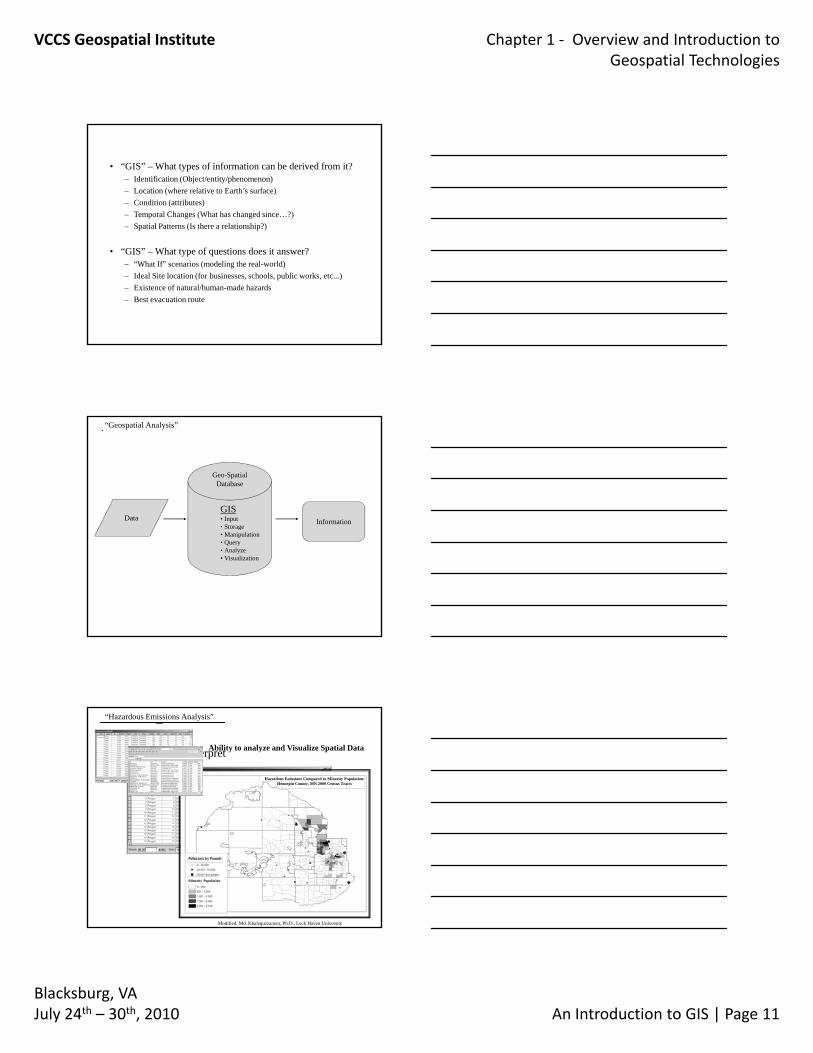
• “GIS” – What types of information can be derived from it?– Identification (Object/entity/phenomenon)– Location (where relative to Earth’s surface)– Condition (attributes)– Temporal Changes (What has changed since…?)– Spatial Patterns (Is there a relationship?)
• “GIS” – What type of questions does it answer?– “What If” scenarios (modeling the real-world)– Ideal Site location (for businesses, schools, public works, etc...)– Existence of natural/human-made hazards – Best evacuation route
DataGIS• Input• Storage
Information
Geo-SpatialDatabase
“Geospatial Analysis”
• Storage• Manipulation• Query• Analyze• Visualization
“Hazardous Emissions Analysis”
– Not easy to interpretAbility to analyze and Visualize Spatial Data
Hazardous Emissions Compared to Minority Population:Hennepin County, MN 2000 Census Tracts
Modified: Md. Khalequzzaman, Ph.D., Lock Haven University
Pollutants by Pounds
Minority Population
VCCS Geospatial Institute Chapter 1 ‐ Overview and Introduction to Geospatial Technologies
Blacksburg, VAJuly 24th – 30th, 2010 An Introduction to GIS | Page 12
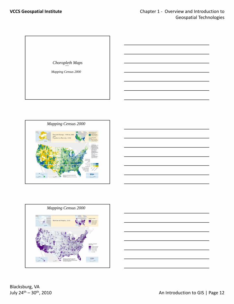
Choropleth Maps
Mapping Census 2000
Mapping Census 2000
Mapping Census 2000
VCCS Geospatial Institute Chapter 1 ‐ Overview and Introduction to Geospatial Technologies
Blacksburg, VAJuly 24th – 30th, 2010 An Introduction to GIS | Page 13
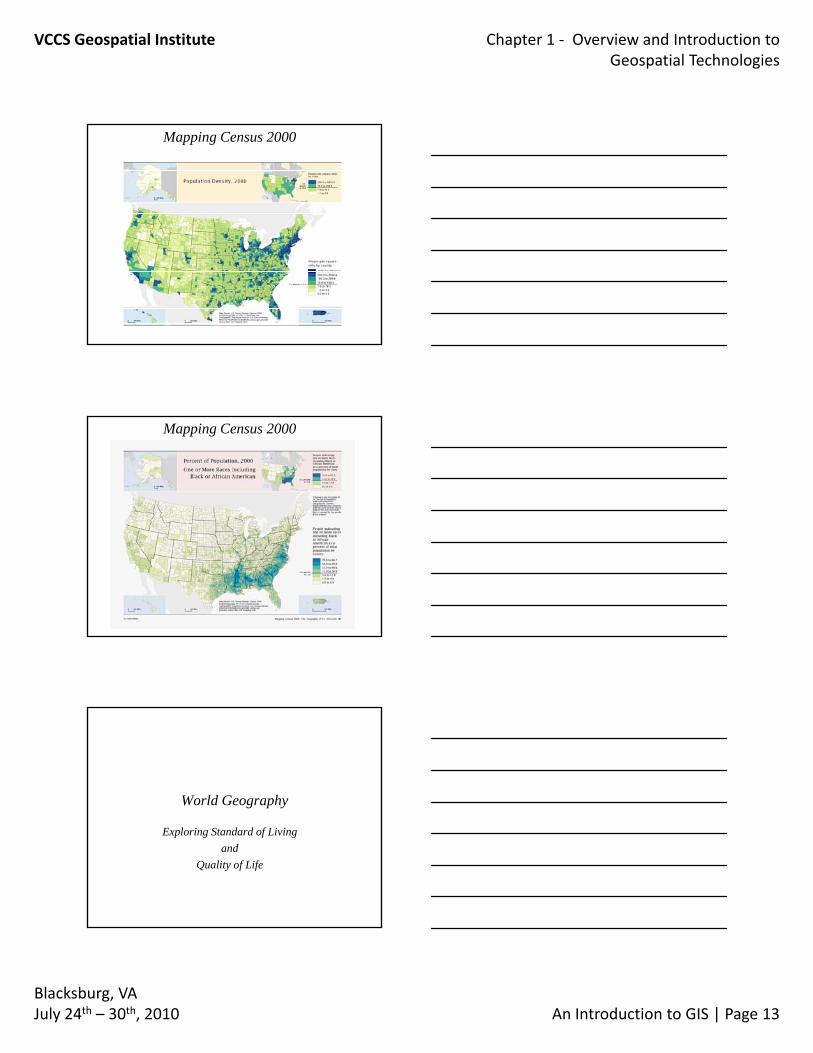
Mapping Census 2000
Mapping Census 2000
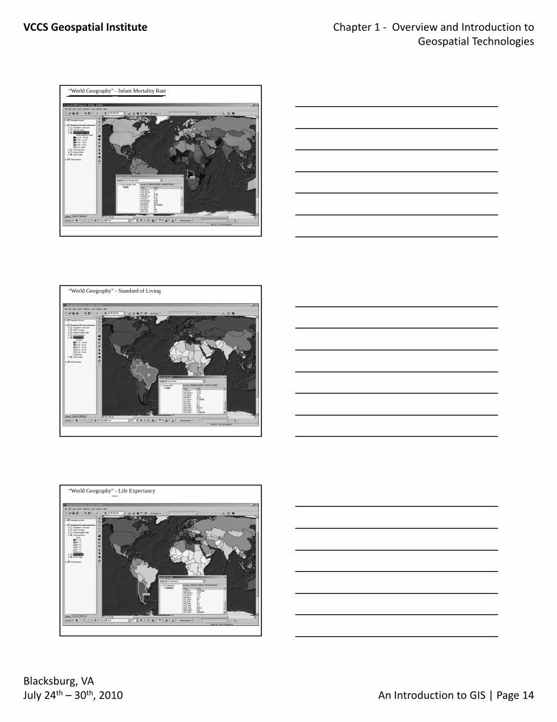
World Geography
Exploring Standard of Living and
Quality of Life
VCCS Geospatial Institute Chapter 1 ‐ Overview and Introduction to Geospatial Technologies
Blacksburg, VAJuly 24th – 30th, 2010 An Introduction to GIS | Page 14
“World Geography” - Infant Mortality Rate
“World Geography” - Standard of Living
“World Geography” - Life Expectancy
VCCS Geospatial Institute Chapter 1 ‐ Overview and Introduction to Geospatial Technologies
Blacksburg, VAJuly 24th – 30th, 2010 An Introduction to GIS | Page 15
World Geography
Exploring Standard of Living and Quality of Life
Demonstration
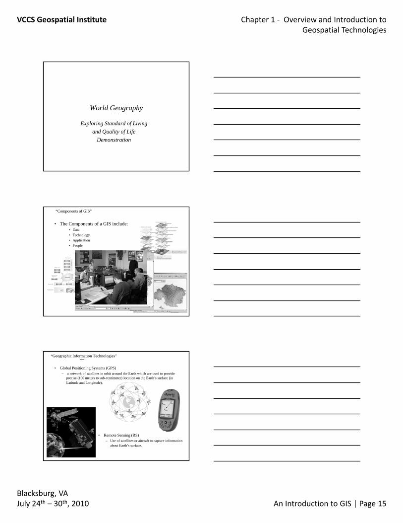
“Components of GIS”
• The Components of a GIS include:• Data• Technology• Application• People
“Geographic Information Technologies”
• Global Positioning Systems (GPS)– a network of satellites in orbit around the Earth which are used to provide
precise (100 meters to sub-centimeter) location on the Earth’s surface (in Latitude and Longitude).
• Remote Sensing (RS)– Use of satellites or aircraft to capture information
about Earth’s surface.
VCCS Geospatial Institute Chapter 1 ‐ Overview and Introduction to Geospatial Technologies
Blacksburg, VAJuly 24th – 30th, 2010 An Introduction to GIS | Page 16
Global Positioning System
TCC Tree SurveywithGPS
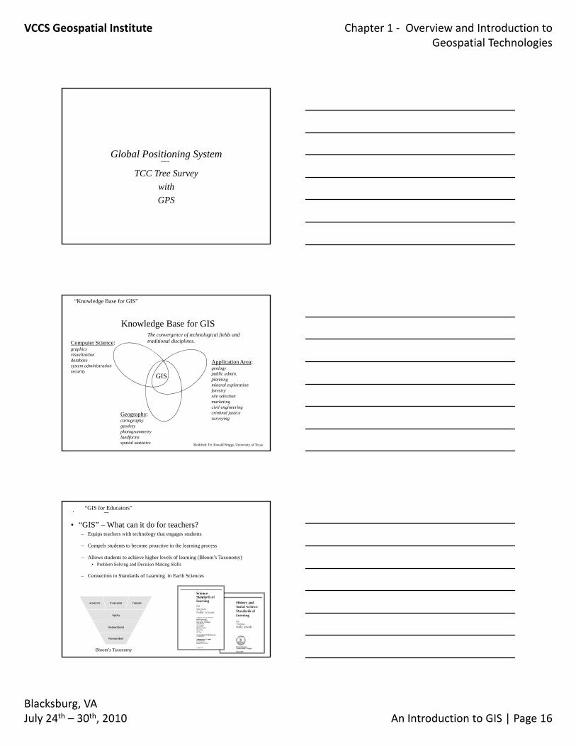
“Knowledge Base for GIS”
Knowledge Base for GIS
Application Area:geology
bli d i
Computer Science:graphicsvisualization databasesystem administrationsecurity
The convergence of technological fields and traditional disciplines.
GIS public admin.planningmineral explorationforestrysite selectionmarketingcivil engineeringcriminal justicesurveying
secu ity
Geography:cartographygeodesyphotogrammetrylandformsspatial statistics Modified: Dr. Ronald Briggs, University of Texas
• “GIS” – What can it do for teachers?– Equips teachers with technology that engages students
– Compels students to become proactive in the learning process
– Allows students to achieve higher levels of learning (Bloom’s Taxonomy)• Problem Solving and Decision Making Skills
– Connection to Standards of Learning in Earth Sciences
“GIS for Educators”
Bloom’s Taxonomy
VCCS Geospatial Institute Chapter 1 ‐ Overview and Introduction to Geospatial Technologies
Blacksburg, VAJuly 24th – 30th, 2010 An Introduction to GIS | Page 17
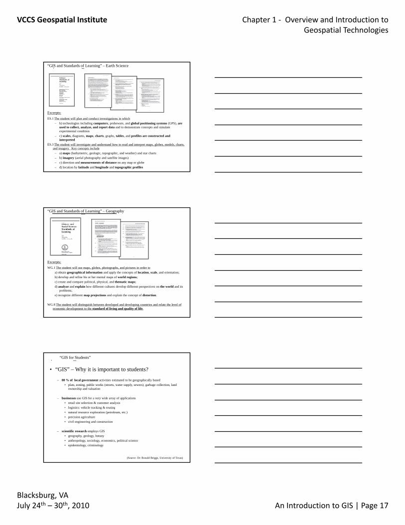
“GIS and Standards of Learning” – Earth Science
Excerpts:ES.1 The student will plan and conduct investigations in which
– b) technologies including computers, probeware, and global positioning systems (GPS), are used to collect, analyze, and report data and to demonstrate concepts and simulate experimental condition
– c) scales, diagrams, maps, charts, graphs, tables, and profiles are constructed and interpreted
ES.3 The student will investigate and understand how to read and interpret maps, globes, models, charts, and imagery. Key concepts include
– a) maps (bathymetric, geologic, topographic, and weather) and star charts– b) imagery (aerial photography and satellite images)– c) direction and measurements of distance on any map or globe– d) location by latitude and longitude and topographic profiles
“GIS and Standards of Learning” – Geography
Excerpts:WG.1 The student will use maps, globes, photographs, and pictures in order to
a) obtain geographical information and apply the concepts of location, scale, and orientation;b) develop and refine his or her mental maps of world regions;c) create and compare political, physical, and thematic maps;d) analyze and explain how different cultures develop different perspectives on the world and its
problems;e) recognize different map projections and explain the concept of distortion.
WG.8 The student will distinguish between developed and developing countries and relate the level of economic development to the standard of living and quality of life.
Excerpts:
• “GIS” – Why it is important to students?
– 80 % of local government activities estimated to be geographically based• plats, zoning, public works (streets, water supply, sewers), garbage collection, land
ownership and valuation
– businesses use GIS for a very wide array of applications• retail site selection & customer analysis• logistics: vehicle tracking & routing
“GIS for Students”
• logistics: vehicle tracking & routing• natural resource exploration (petroleum, etc.)• precision agriculture• civil engineering and construction
– scientific research employs GIS• geography, geology, botany • anthropology, sociology, economics, political science• epidemiology, criminology
(Source: Dr. Ronald Briggs, University of Texas)
VCCS Geospatial Institute Chapter 1 ‐ Overview and Introduction to Geospatial Technologies
Blacksburg, VAJuly 24th – 30th, 2010 An Introduction to GIS | Page 18
“GIS for Education”
• “GIS” – The Educational Promise of GIS?
– GIS can play a role in educational reform• Teachers and students can both be active learners at the same time• “The” answer is not contained or presented, it requires critical thinking
– GIS is a vocational tool• Helps develop basic computer literacy• Helps develop basic computer literacy• GIS activities provide actual training for many careers
– GIS engages and exercises multiple capacities and intelligences• Critical thinking (ability to analyze, synthesize, and evaluate)• Logical-mathematical intelligence
– GIS relies on an fosters a mindset of exploration
(Source: GIS in K-12 Education, ESRI)
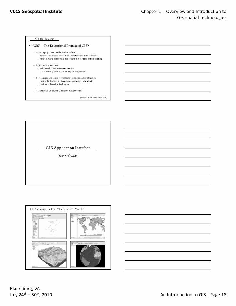
GIS Application Interface
The Software
GIS Application Interface – “The Software” – “ArcGIS”
VCCS Geospatial Institute Chapter 1 ‐ Overview and Introduction to Geospatial Technologies
Blacksburg, VAJuly 24th – 30th, 2010 An Introduction to GIS | Page 19
GIS – Explore Your World
Questions?
Rodney ClaytonEmail: [email protected] Ph. 757-822-7089