Embed Size (px)
Citation preview
PROPRIETARY INFORMATION, EARTHDATA INTERNATIONAL UNAUTHORIZED DUPLICATION OR USE NOT PERMITTED WITHOUT PRIOR WRITTEN CONSENT
Airborne Rapid Imaging
for Emergency SupportKaren Schuckman, EarthData Solutions, LLC
8 Feb 2005 EarthData Proprietary
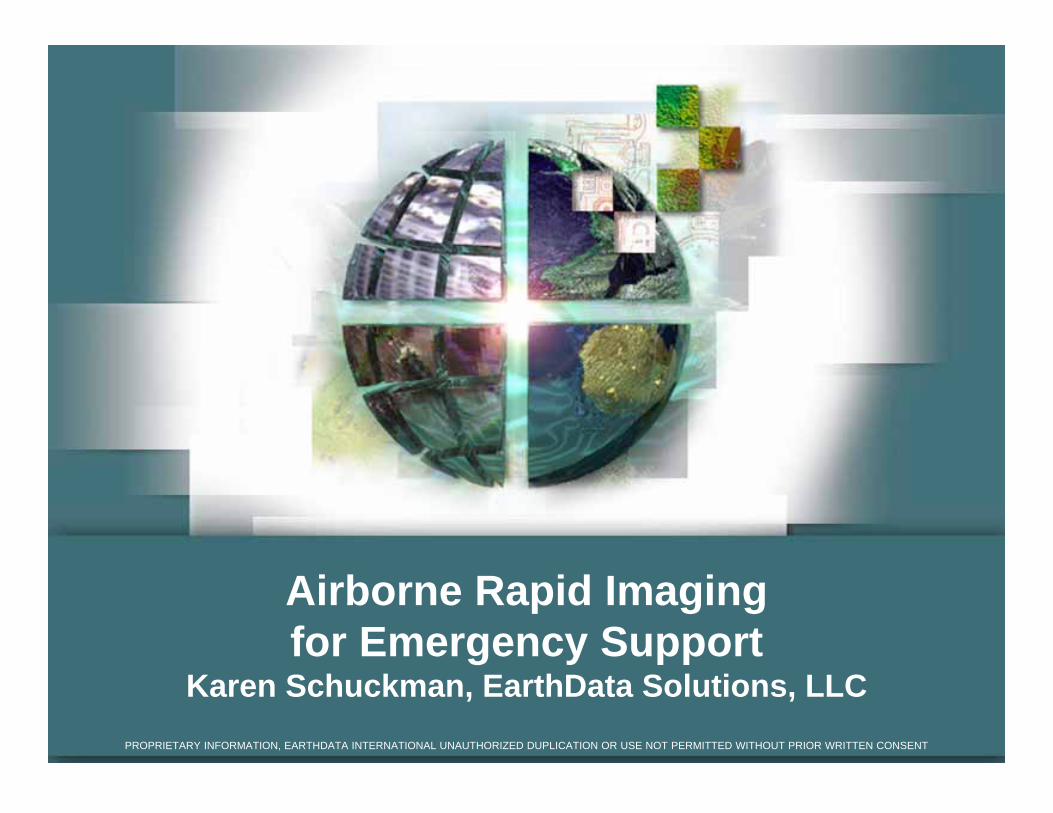
Abstract
Following the World Trade Center Crisis, a need existed to
improve the response time for imagery collections to support
GIS and emergency operations. With a grant from the U.S.
Department of Homeland Security, Office of Domestic
Preparedness, EarthData demonstrated that imagery can be
collected, processed, ortho-rectified, and disseminated
almost immediately following a crisis. ARIES (Airborne
Rapid Imaging for Emergency Support) demonstrated this
capability at the Picatinny Arsenal in November 2004. Using
GIS and remote sensing tools, more than five gigabytes of
data was collected and made available to users in a field
setting.
8 Feb 2005 EarthData Proprietary
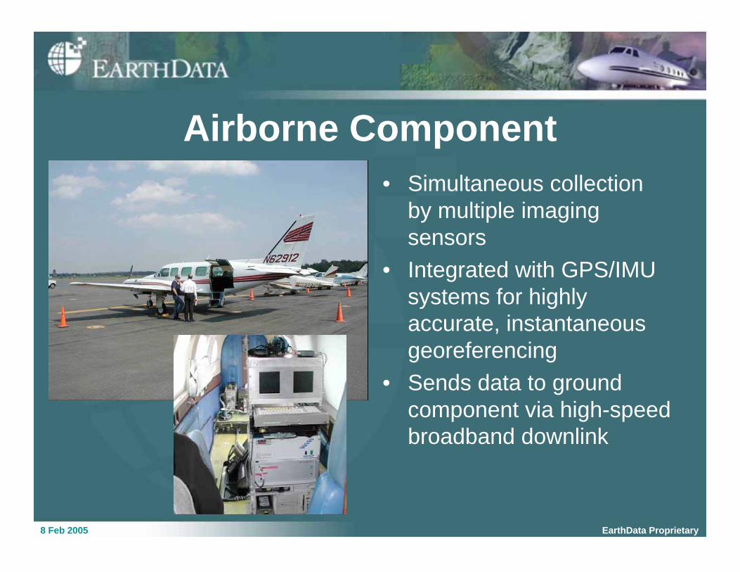
Airborne Component
• Simultaneous collection
by multiple imaging
sensors
• Integrated with GPS/IMU
systems for highly
accurate, instantaneous
georeferencing
• Sends data to ground
component via high-speed
broadband downlink
8 Feb 2005 EarthData Proprietary
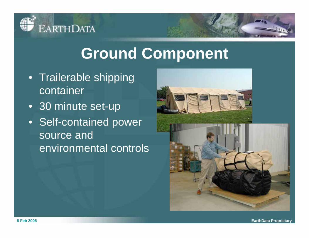
Ground Component
• Trailerable shipping
container
• 30 minute set-up
• Self-contained power
source and
environmental controls
8 Feb 2005 EarthData Proprietary
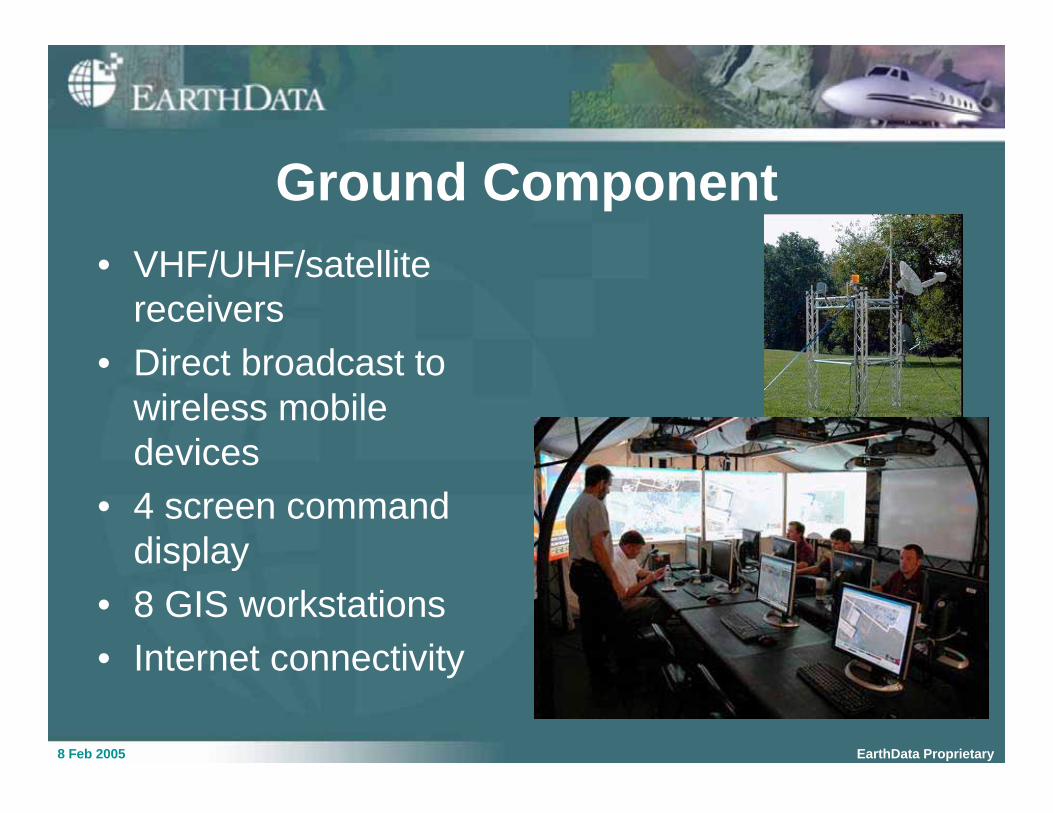
Ground Component
• VHF/UHF/satellite
receivers
• Direct broadcast to
wireless mobile
devices
• 4 screen command
display
• 8 GIS workstations
• Internet connectivity
8 Feb 2005 EarthData Proprietary
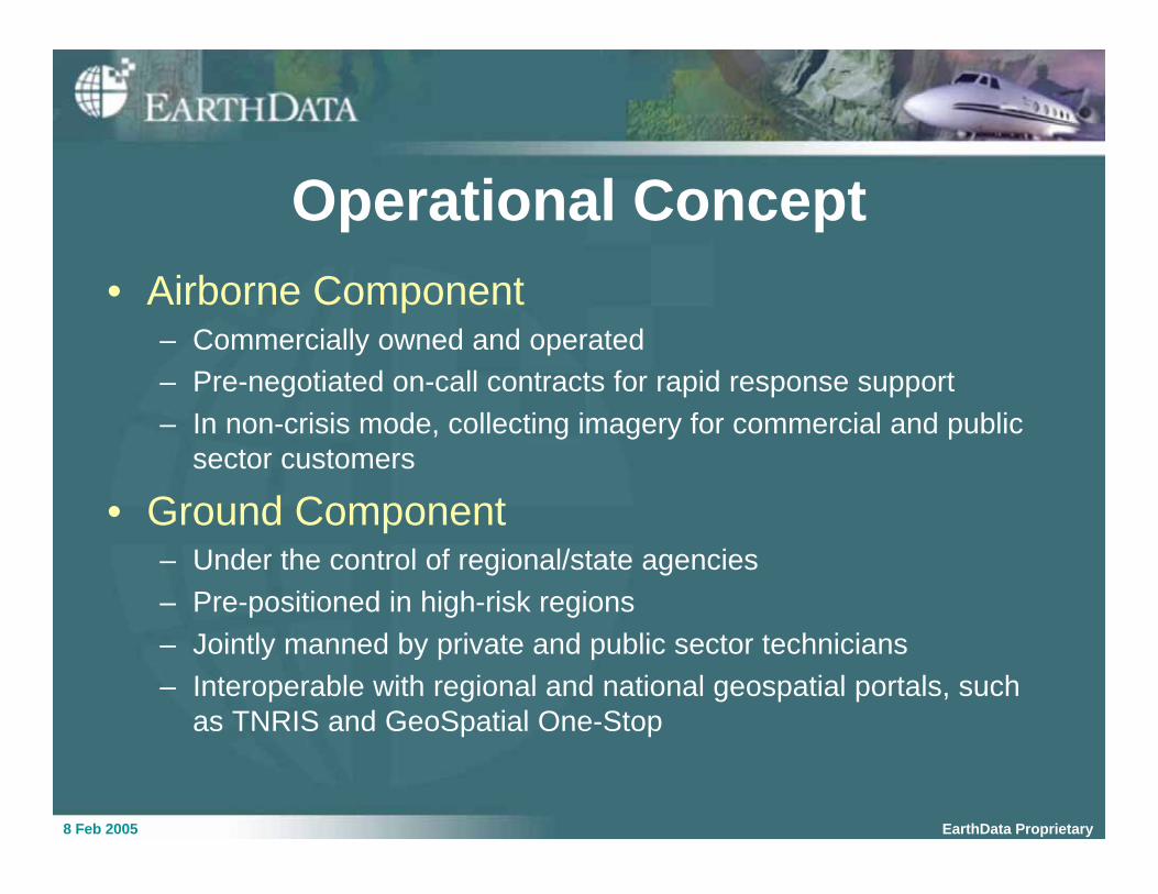
Operational Concept
• Airborne Component– Commercially owned and operated
– Pre-negotiated on-call contracts for rapid response support
– In non-crisis mode, collecting imagery for commercial and public
sector customers
• Ground Component– Under the control of regional/state agencies
– Pre-positioned in high-risk regions
– Jointly manned by private and public sector technicians
– Interoperable with regional and national geospatial portals, such
as TNRIS and GeoSpatial One-Stop
8 Feb 2005 EarthData Proprietary
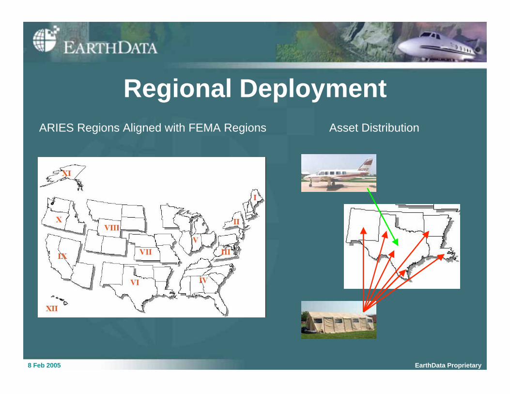
ARIES Regions Aligned with FEMA Regions Asset Distribution
Regional Deployment
8 Feb 2005 EarthData Proprietary
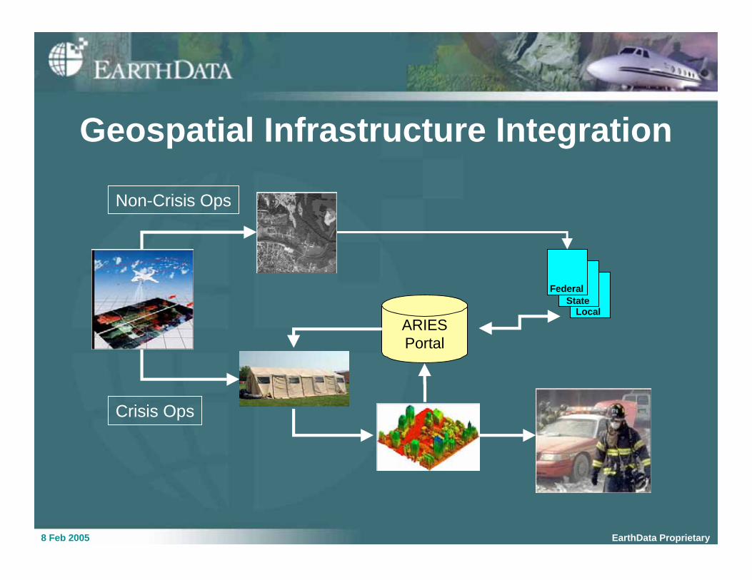
ARIES
Portal
Non-Crisis Ops
Federal
Local
Crisis Ops
Geospatial Infrastructure Integration
State
8 Feb 2005 EarthData Proprietary
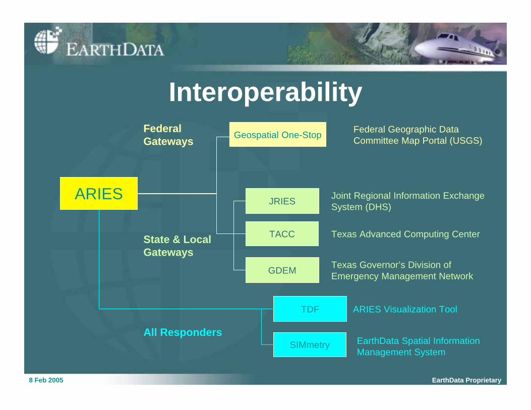
Interoperability
Geospatial One-Stop
TACC
JRIES
GDEM
TDF
SIMmetry
Federal
Gateways
State & Local
Gateways
All Responders
Federal Geographic Data
Committee Map Portal (USGS)
Texas Advanced Computing Center
Joint Regional Information Exchange
System (DHS)
Texas Governor’s Division of
Emergency Management Network
ARIES Visualization Tool
EarthData Spatial Information
Management System
ARIES
8 Feb 2005 EarthData Proprietary
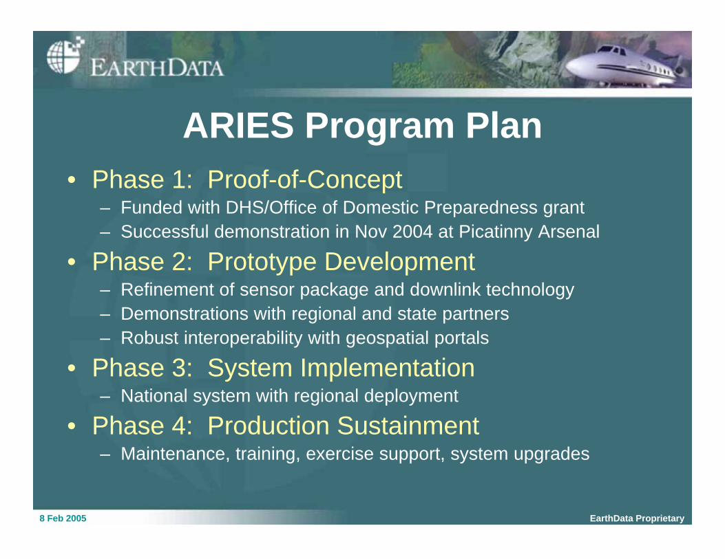
ARIES Program Plan
• Phase 1: Proof-of-Concept– Funded with DHS/Office of Domestic Preparedness grant
– Successful demonstration in Nov 2004 at Picatinny Arsenal
• Phase 2: Prototype Development– Refinement of sensor package and downlink technology
– Demonstrations with regional and state partners
– Robust interoperability with geospatial portals
• Phase 3: System Implementation– National system with regional deployment
• Phase 4: Production Sustainment– Maintenance, training, exercise support, system upgrades
8 Feb 2005 EarthData Proprietary
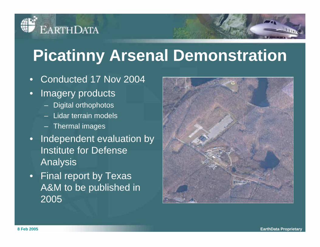
Picatinny Arsenal Demonstration
• Conducted 17 Nov 2004
• Imagery products– Digital orthophotos
– Lidar terrain models
– Thermal images
• Independent evaluation by
Institute for Defense
Analysis
• Final report by Texas
A&M to be published in
2005
8 Feb 2005 EarthData Proprietary
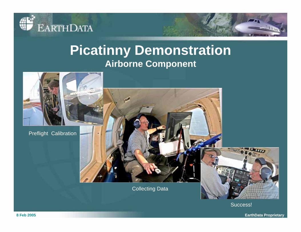
Picatinny DemonstrationAirborne Component
Preflight Calibration
Success!
Collecting Data
8 Feb 2005 EarthData Proprietary
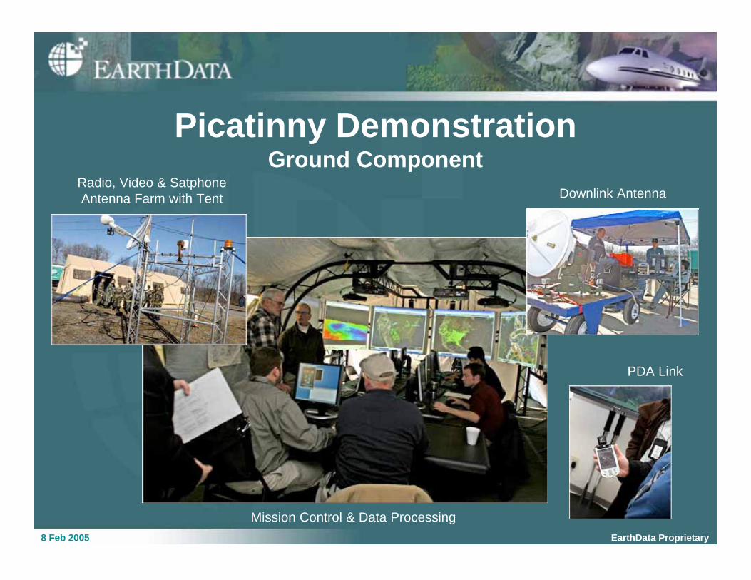
Radio, Video & Satphone
Antenna Farm with Tent Downlink Antenna
PDA Link
Mission Control & Data Processing
Picatinny DemonstrationGround Component
8 Feb 2005 EarthData Proprietary
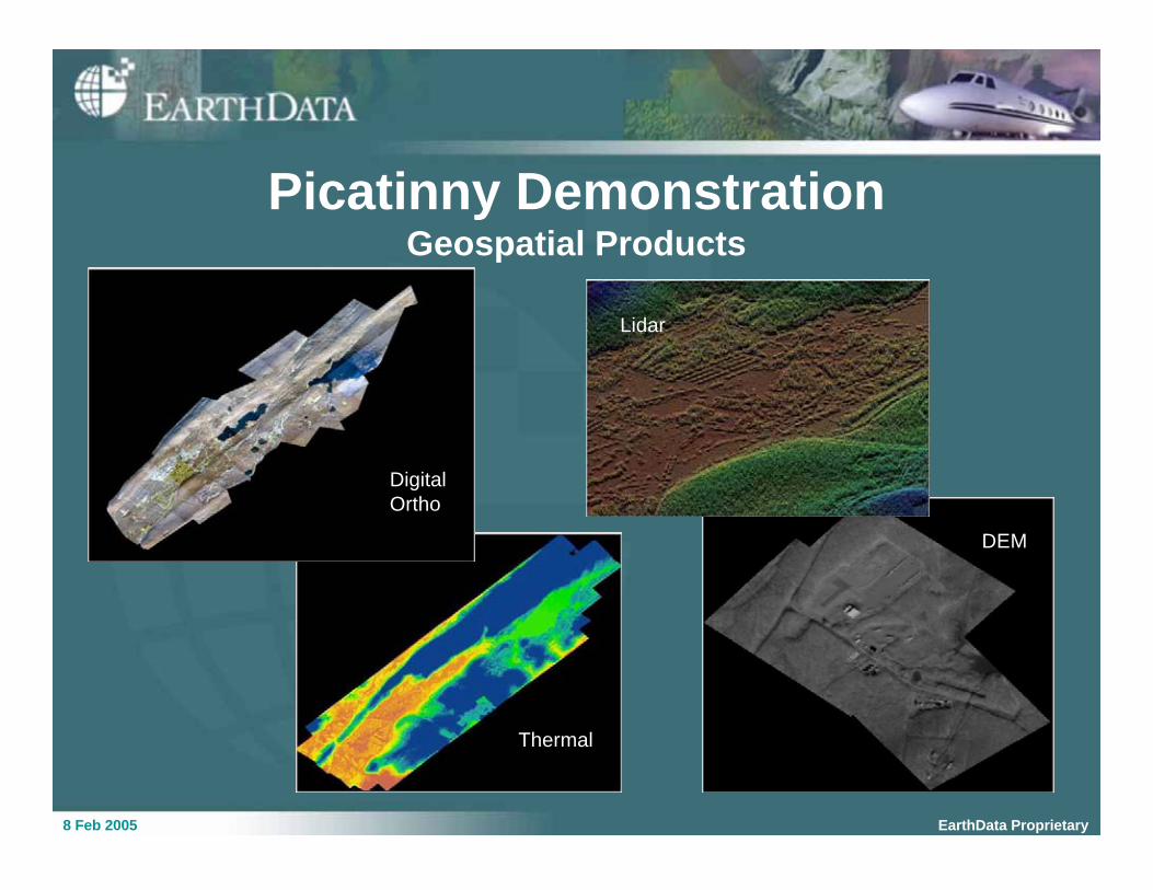
Picatinny DemonstrationGeospatial Products
Thermal
Lidar
DEM
Digital
Ortho
8 Feb 2005 EarthData Proprietary
Next Steps
• Develop relationships with potential phase
2 partners
• Identify a spectrum of emergency
preparation and response scenarios
• Explore interoperability requirements and
specifications
• Assist partners with DHS grant applications
PROPRIETARY INFORMATION, EARTHDATA INTERNATIONAL UNAUTHORIZED DUPLICATION OR USE NOT PERMITTED WITHOUT PRIOR WRITTEN CONSENT
ARIES Exercise Scenarios
8 Feb 2005 EarthData Proprietary
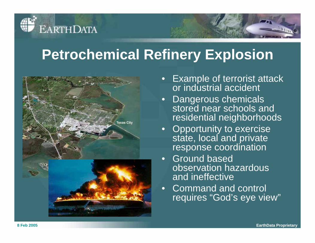
Petrochemical Refinery Explosion
• Example of terrorist attackor industrial accident
• Dangerous chemicalsstored near schools andresidential neighborhoods
• Opportunity to exercisestate, local and privateresponse coordination
• Ground basedobservation hazardousand ineffective
• Command and controlrequires “God’s eye view”
8 Feb 2005 EarthData Proprietary
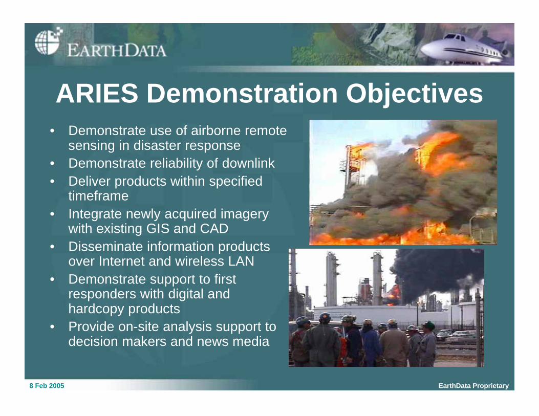
ARIES Demonstration Objectives
• Demonstrate use of airborne remotesensing in disaster response
• Demonstrate reliability of downlink
• Deliver products within specifiedtimeframe
• Integrate newly acquired imagerywith existing GIS and CAD
• Disseminate information productsover Internet and wireless LAN
• Demonstrate support to firstresponders with digital andhardcopy products
• Provide on-site analysis support todecision makers and news media
8 Feb 2005 EarthData Proprietary
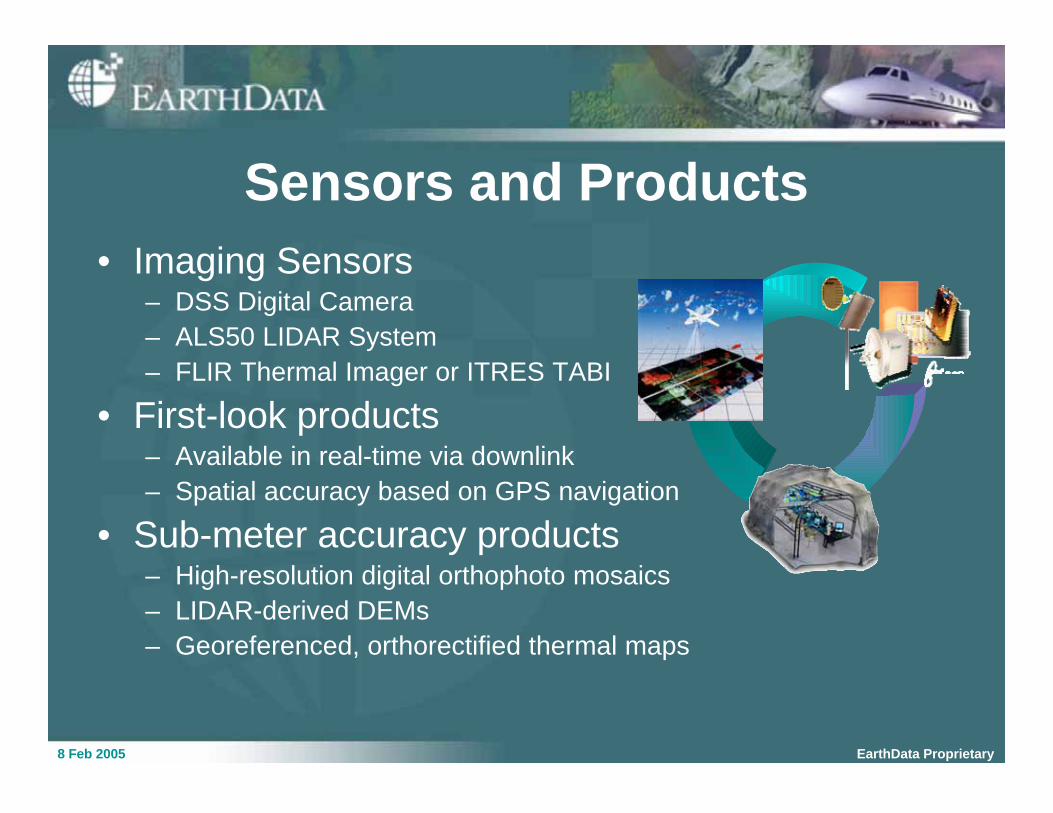
Sensors and Products
• Imaging Sensors– DSS Digital Camera
– ALS50 LIDAR System
– FLIR Thermal Imager or ITRES TABI
• First-look products– Available in real-time via downlink
– Spatial accuracy based on GPS navigation
• Sub-meter accuracy products– High-resolution digital orthophoto mosaics
– LIDAR-derived DEMs
– Georeferenced, orthorectified thermal maps
8 Feb 2005 EarthData Proprietary
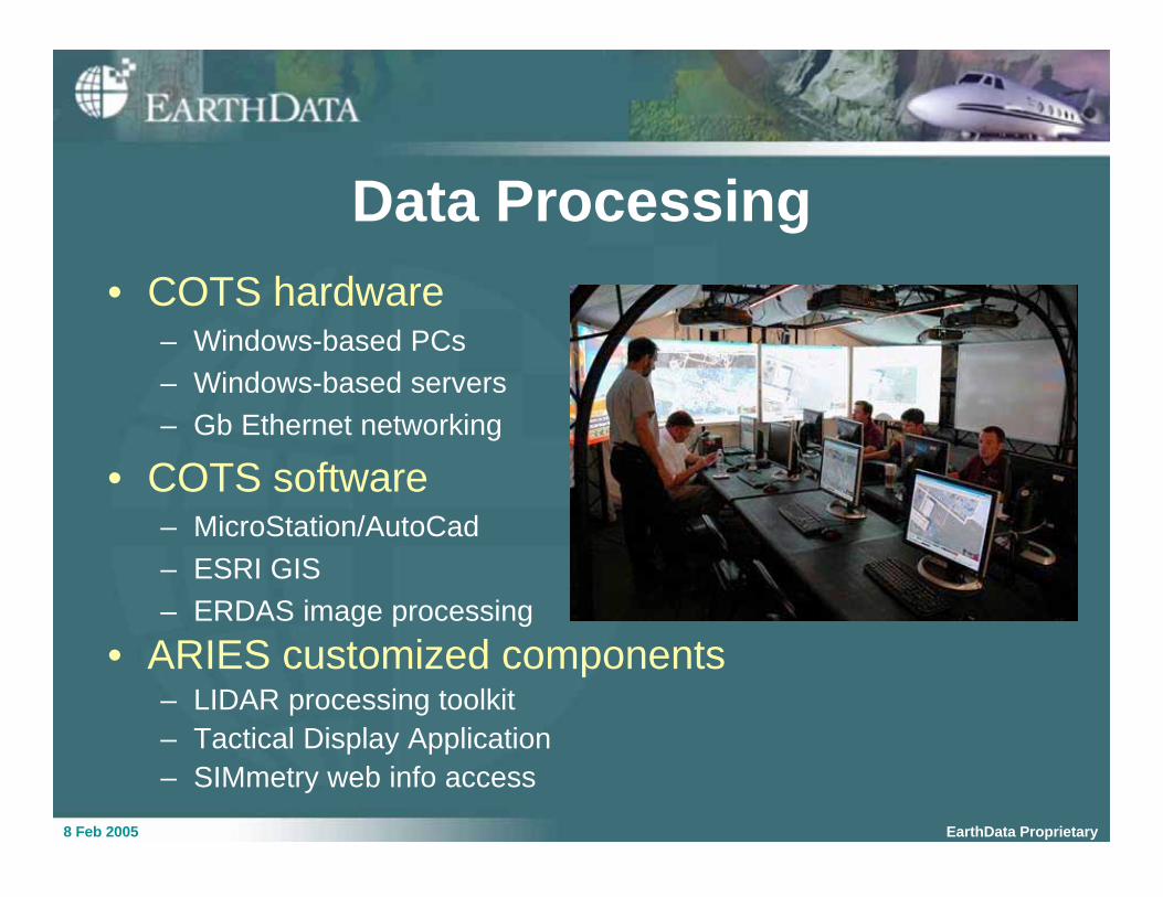
Data Processing
• COTS hardware– Windows-based PCs
– Windows-based servers
– Gb Ethernet networking
• COTS software– MicroStation/AutoCad
– ESRI GIS
– ERDAS image processing
• ARIES customized components– LIDAR processing toolkit
– Tactical Display Application
– SIMmetry web info access
8 Feb 2005 EarthData Proprietary
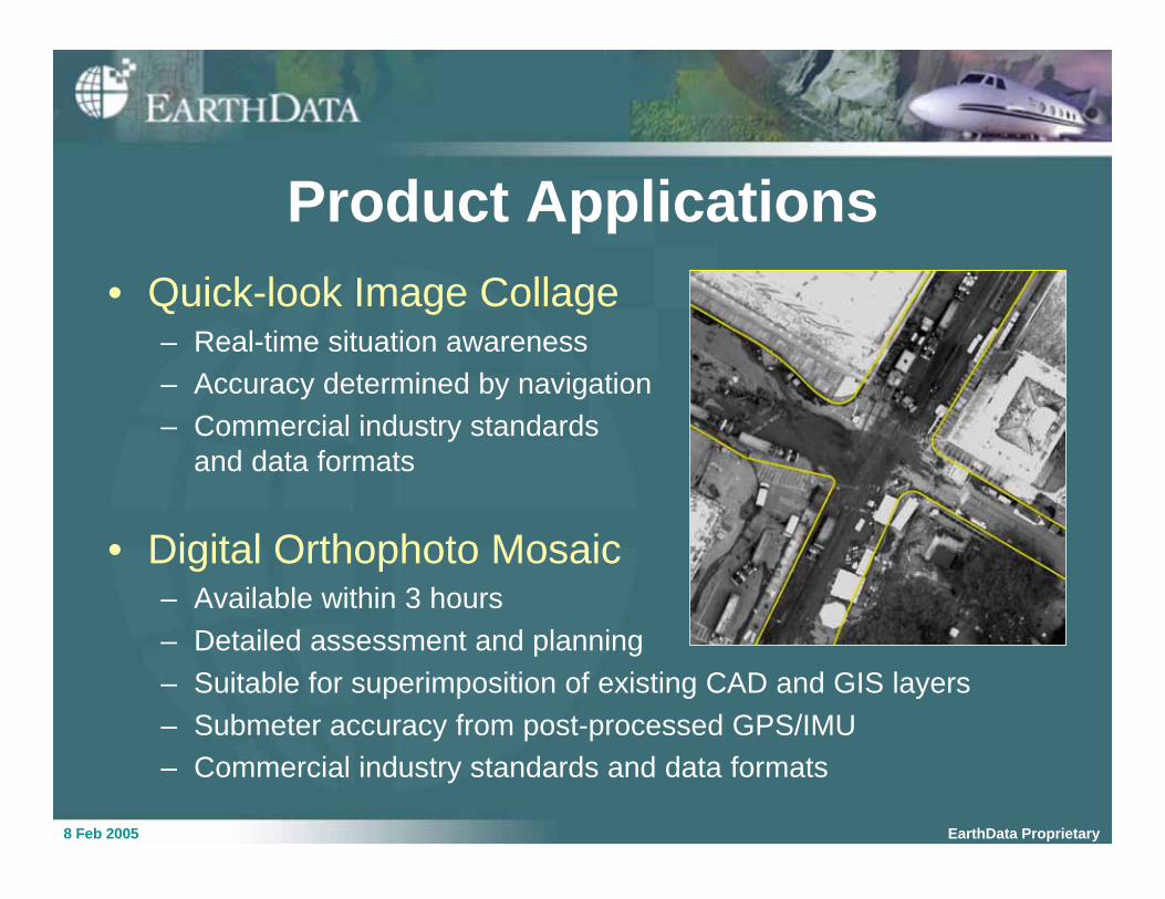
Product Applications
• Quick-look Image Collage– Real-time situation awareness
– Accuracy determined by navigation
– Commercial industry standards
and data formats
• Digital Orthophoto Mosaic– Available within 3 hours
– Detailed assessment and planning
– Suitable for superimposition of existing CAD and GIS layers
– Submeter accuracy from post-processed GPS/IMU
– Commercial industry standards and data formats
8 Feb 2005 EarthData Proprietary
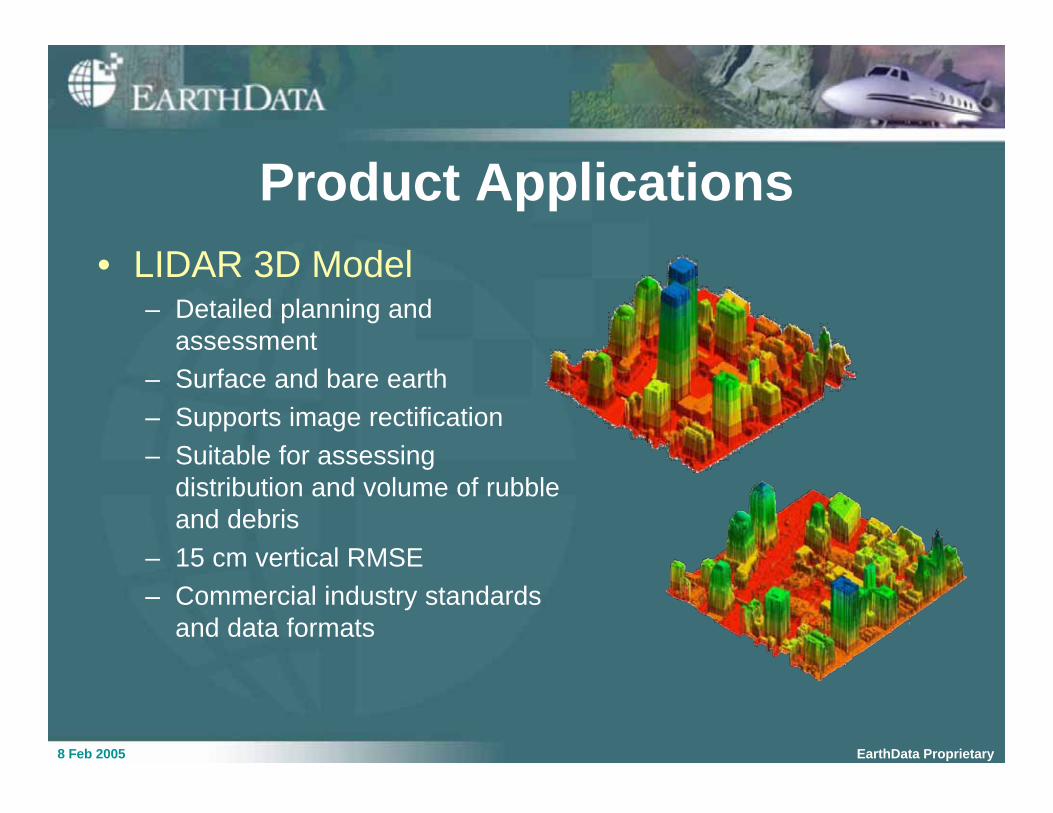
Product Applications
• LIDAR 3D Model– Detailed planning and
assessment
– Surface and bare earth
– Supports image rectification
– Suitable for assessing
distribution and volume of rubble
and debris
– 15 cm vertical RMSE
– Commercial industry standards
and data formats
8 Feb 2005 EarthData Proprietary
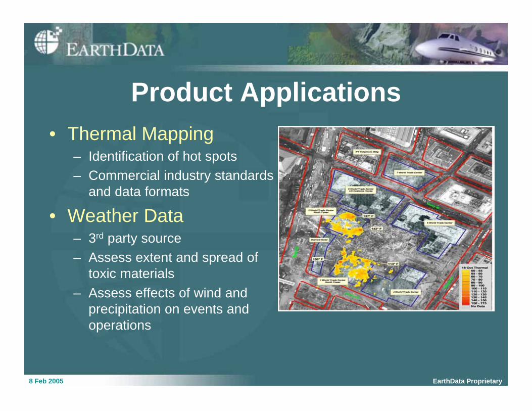
Product Applications
• Thermal Mapping– Identification of hot spots
– Commercial industry standards
and data formats
• Weather Data– 3rd party source
– Assess extent and spread of
toxic materials
– Assess effects of wind and
precipitation on events and
operations
8 Feb 2005 EarthData Proprietary
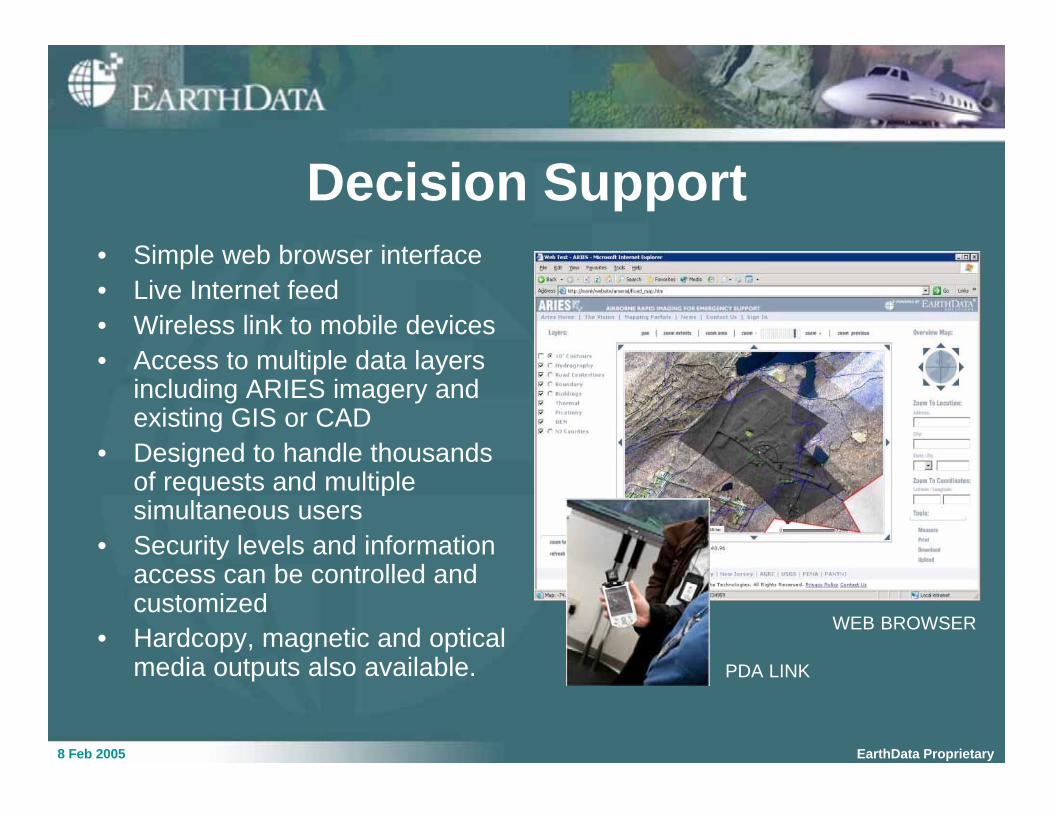
• Simple web browser interface
• Live Internet feed
• Wireless link to mobile devices
• Access to multiple data layersincluding ARIES imagery andexisting GIS or CAD
• Designed to handle thousandsof requests and multiplesimultaneous users
• Security levels and informationaccess can be controlled andcustomized
• Hardcopy, magnetic and opticalmedia outputs also available. PDA LINK
Decision Support
WEB BROWSER
8 Feb 2005 EarthData Proprietary
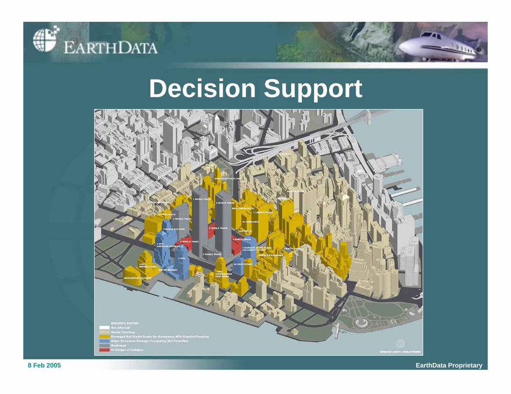
Decision Support
8 Feb 2005 EarthData Proprietary
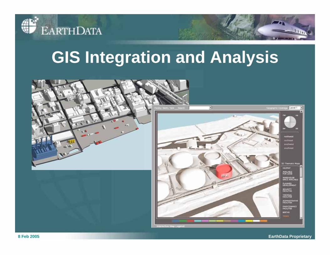
GIS Integration and Analysis

8 Feb 2005 EarthData Proprietary
Contact Information
Karen Schuckman
EarthData Solutions, LLC
7320 Executive Way
Frederick, MD 21704
(202) 986-3574 tel
(202) 986-4819 fax


![A Rainforest Divided - NASA Earthdata > User Resources > Sensing Our Planet > A Rainforest Divided A Rainforest Divided [1] by Laura Naranjo If a tree falls in the Amazon rainforest,](https://img.pdfslide.us/doc/110x75/5b1a83877f8b9a1e258dc1ad/a-rainforest-divided-nasa-earthdata-user-resources-sensing-our-planet-a.jpg)