Embed Size (px)
Citation preview
Addressing the Needs of Local
Government with ArcGIS
Jennifer Kuntz and
Mark Hollingshead
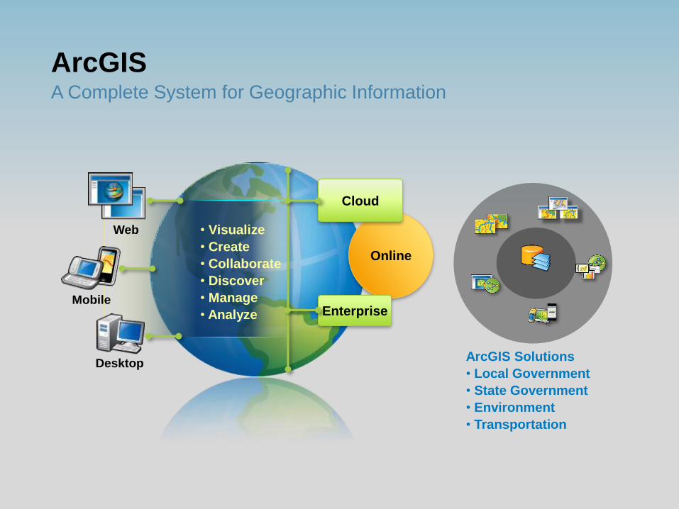
ArcGIS A Complete System for Geographic Information
Online
Cloud
Enterprise Mobile
Desktop
Web • Visualize
• Create
• Collaborate
• Discover
• Manage
• Analyze
ArcGIS Solutions
• Local Government
• State Government
• Environment
• Transportation
Introduction to
ArcGIS for Local
Government
Demo
What challenges does ArcGIS for
Local Government Address?
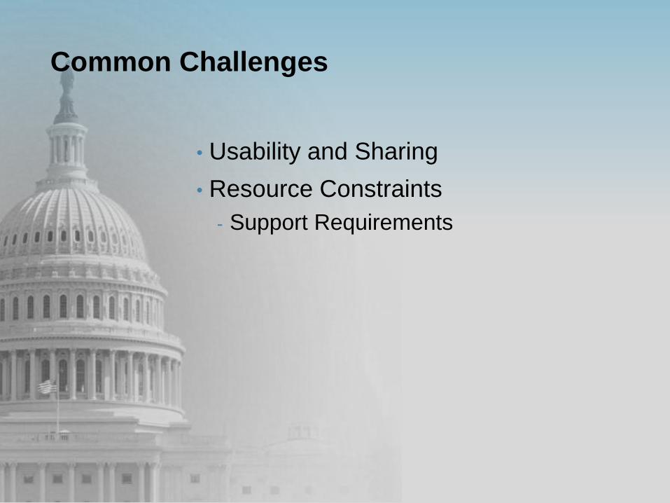
Common Challenges
• Usability and Sharing
• Resource Constraints
- Support Requirements

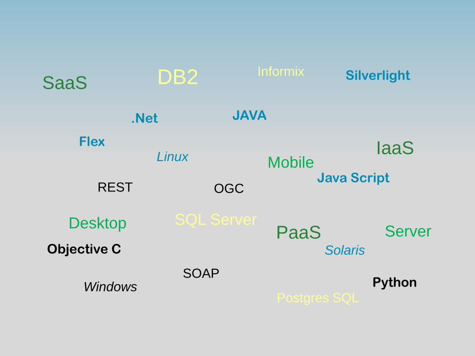
Informix DB2
SQL Server
Postgres SQL
SaaS
IaaS
PaaS Objective C
Silverlight
Java Script
.Net JAVA
Python
Flex
Mobile
Desktop Server
Linux
Solaris
Windows
REST
SOAP
OGC

Supporting the Enterprise: Domain
Expertise
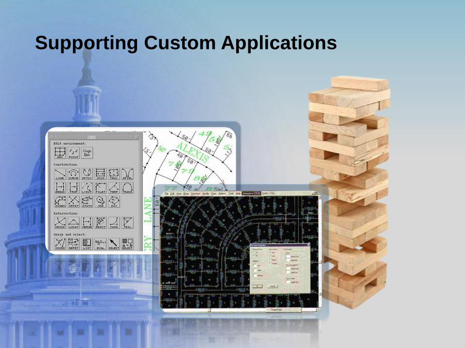
Supporting Custom Applications

Supporting Evolving Expectations
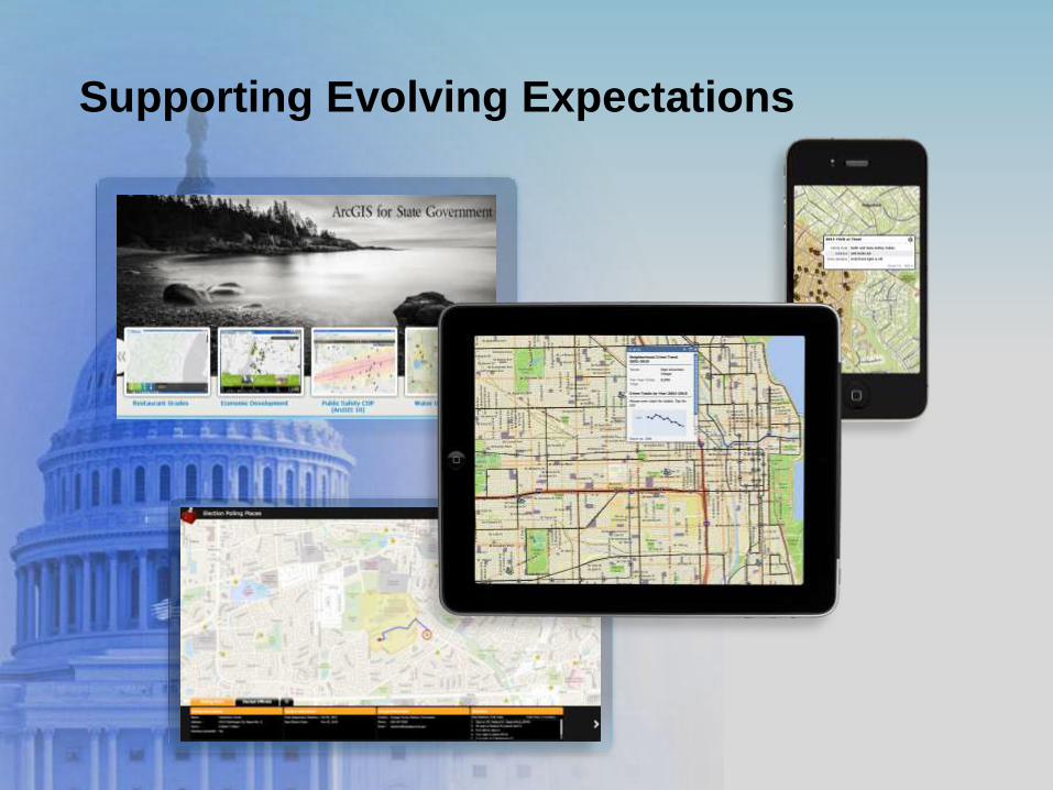
Supporting Evolving Expectations
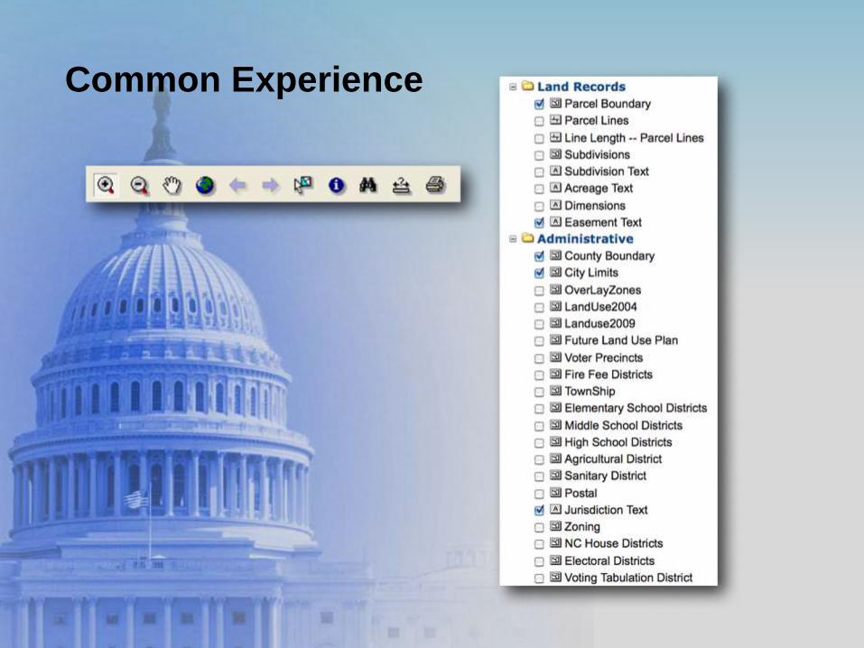
Common Experience
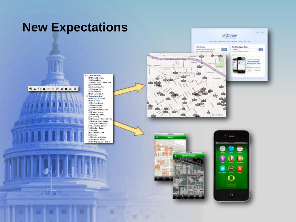
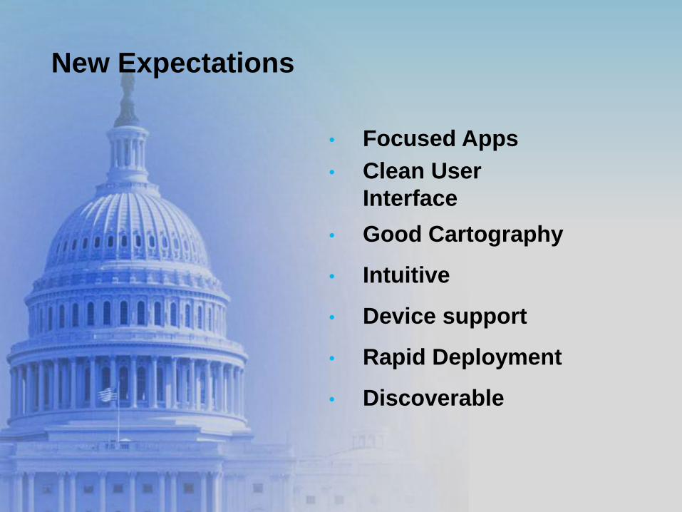
New Expectations
New Expectations
• Focused Apps
• Clean User
Interface
• Good Cartography
• Intuitive
• Device support
• Rapid Deployment
• Discoverable
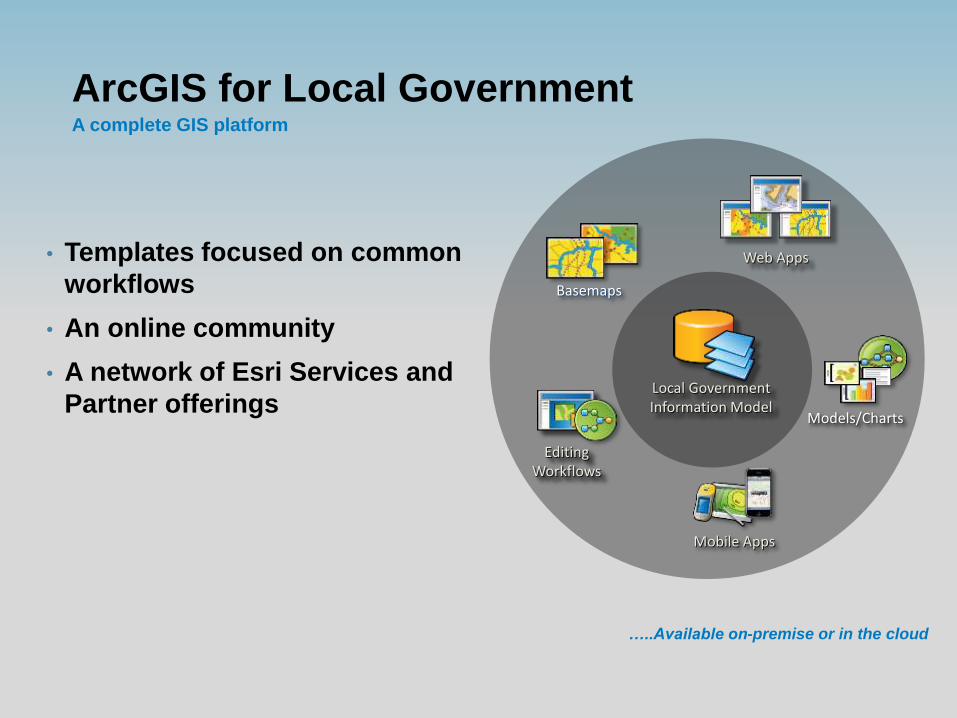
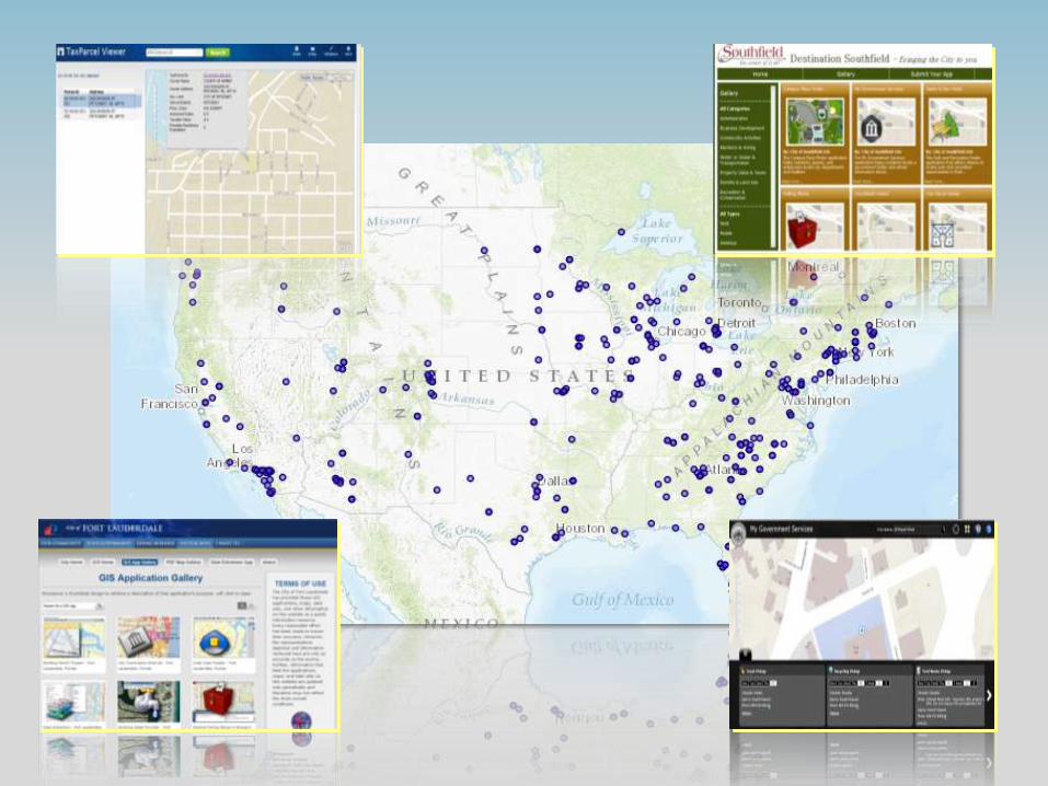
ArcGIS for Local Government A complete GIS platform
• Templates focused on common
workflows
• An online community
• A network of Esri Services and
Partner offerings
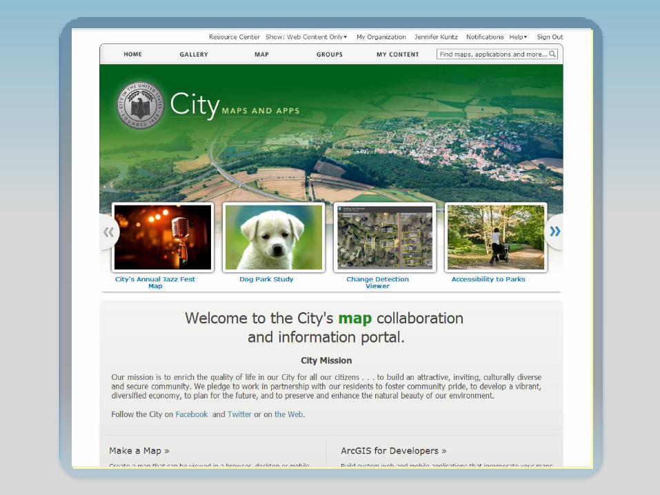
Web Apps
Editing Workflows
Mobile Apps
Basemaps
Models/Charts
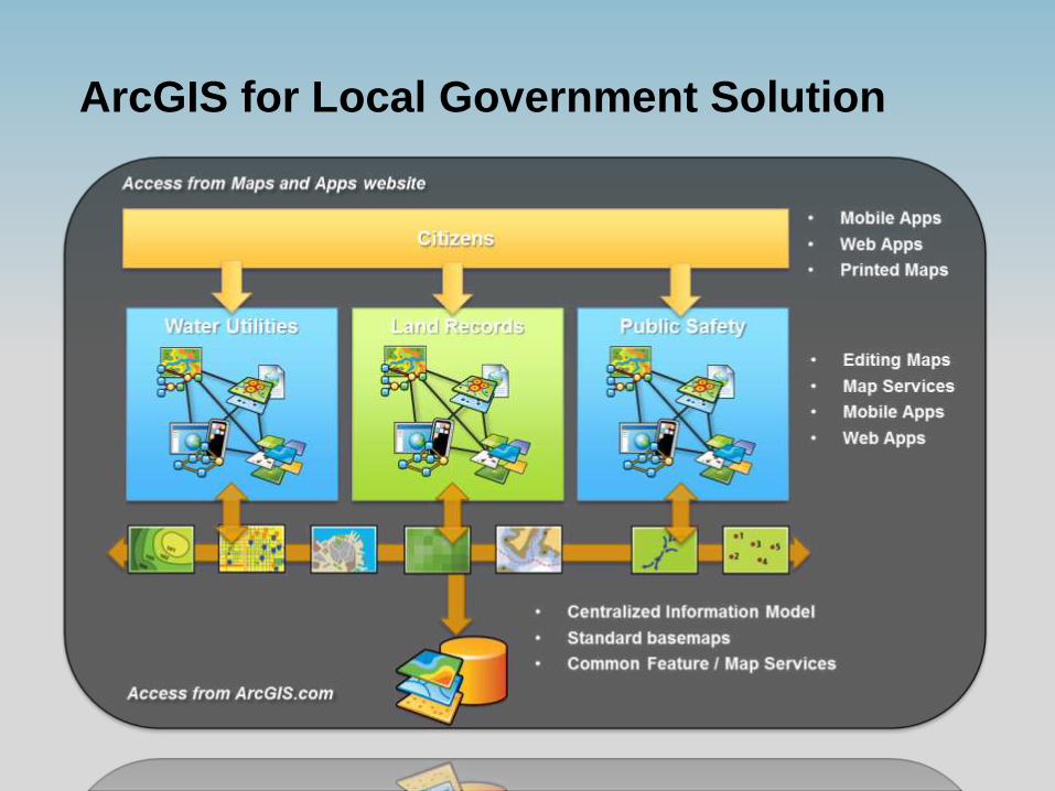
Local Government Information Model
…..Available on-premise or in the cloud
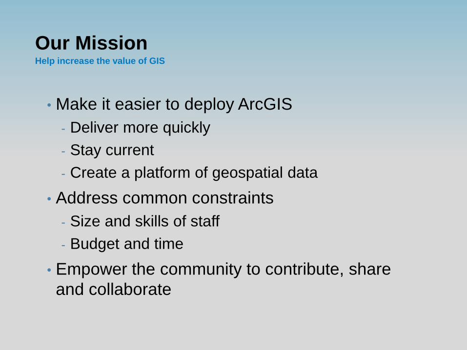
Our Mission Help increase the value of GIS
• Make it easier to deploy ArcGIS
- Deliver more quickly
- Stay current
- Create a platform of geospatial data
• Address common constraints
- Size and skills of staff
- Budget and time
• Empower the community to contribute, share
and collaborate
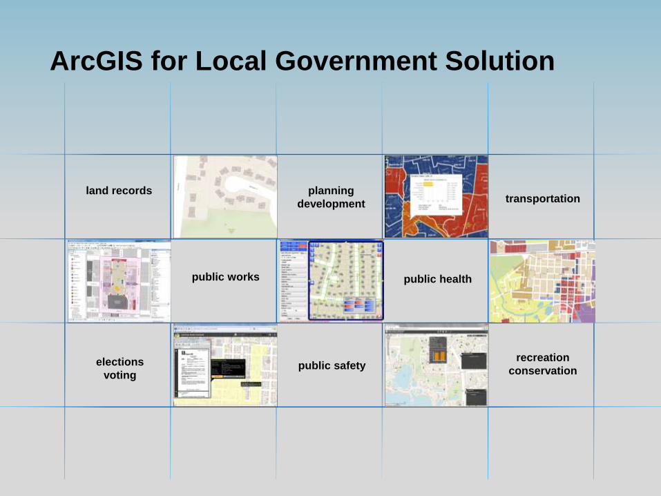
ArcGIS for Local Government Solution
land records planning
development
public safety
public works
elections
voting
public health
recreation
conservation
transportation
ArcGIS for Local Government Solution
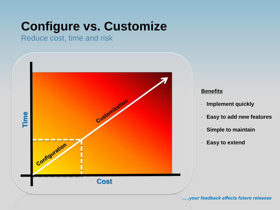
Reduce cost, time and risk
Cost
Benefits
• Implement quickly
• Easy to add new features
• Simple to maintain
• Easy to extend
…..your feedback affects future releases
Configure vs. Customize
Tim
e
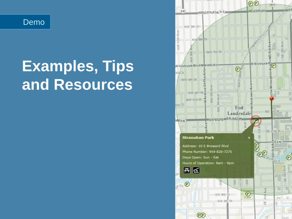
Examples, Tips
and Resources
Demo
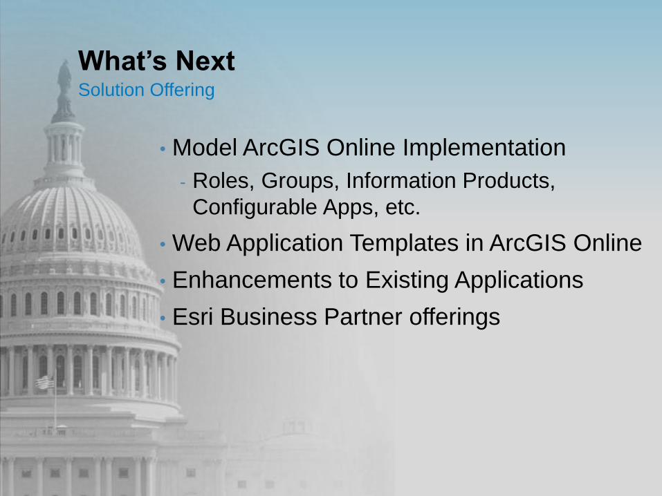
What’s Next Solution Offering
• Model ArcGIS Online Implementation
- Roles, Groups, Information Products,
Configurable Apps, etc.
• Web Application Templates in ArcGIS Online
• Enhancements to Existing Applications
• Esri Business Partner offerings
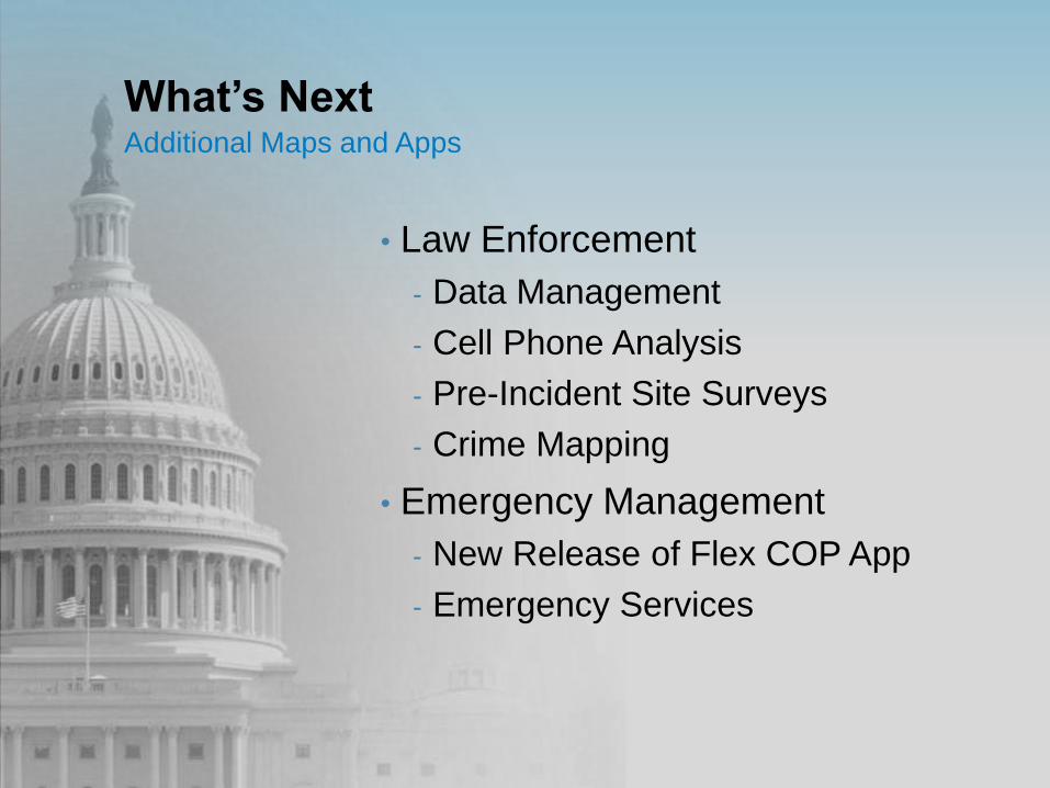
What’s Next Additional Maps and Apps
• Law Enforcement
- Data Management
- Cell Phone Analysis
- Pre-Incident Site Surveys
- Crime Mapping
• Emergency Management
- New Release of Flex COP App
- Emergency Services
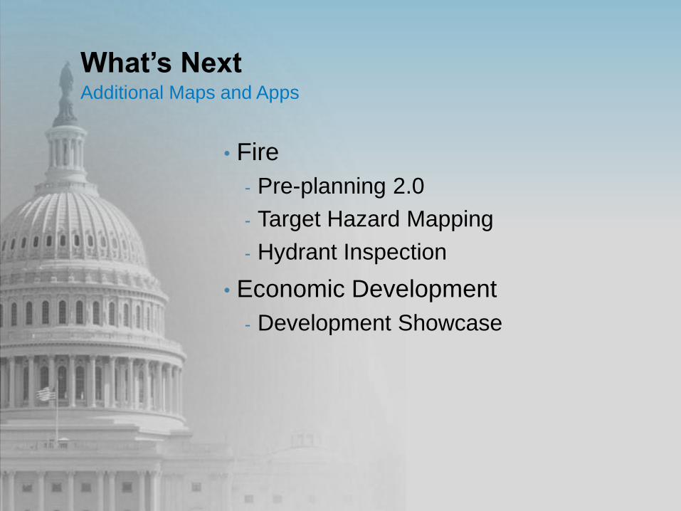
What’s Next Additional Maps and Apps
• Fire
- Pre-planning 2.0
- Target Hazard Mapping
- Hydrant Inspection
• Economic Development
- Development Showcase
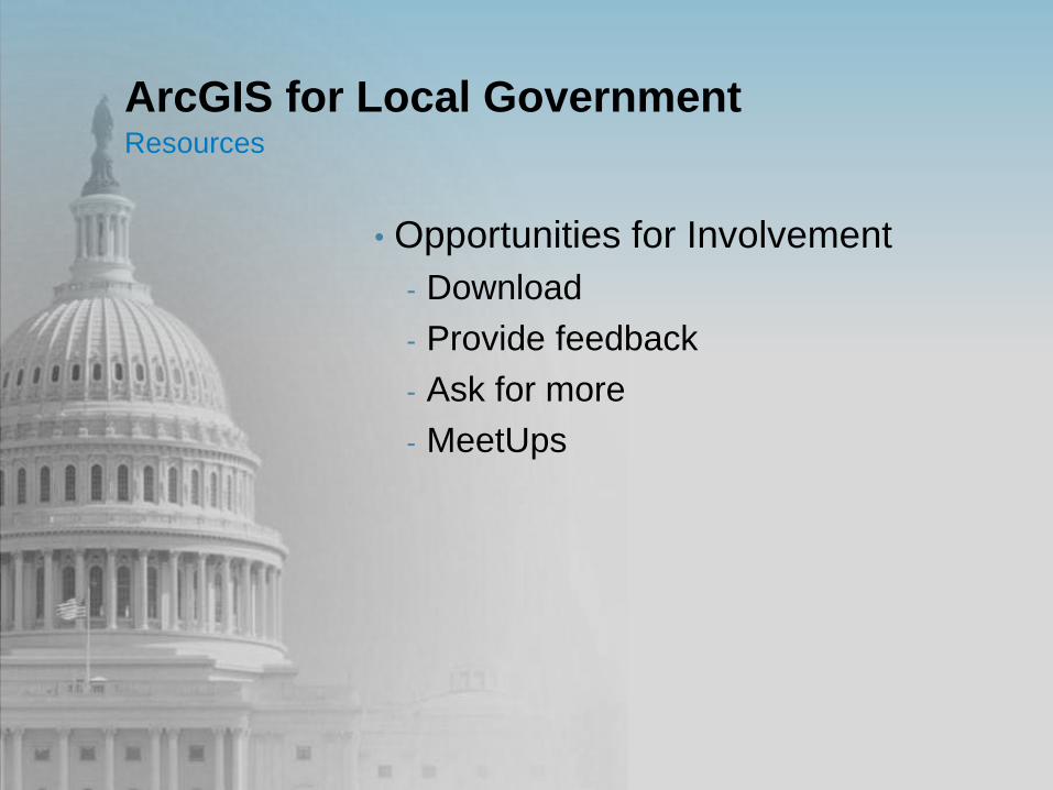
ArcGIS for Local Government Resources
• Opportunities for Involvement
- Download
- Provide feedback
- Ask for more
- MeetUps

Questions