Embed Size (px)
DESCRIPTION
Activity. Mark any geologic features, roads, etc. that you see on the transparency over your map. Use symbols or different patterns to indicate different features. Make a key of these features. If you aren’t sure what a feature is, make a hypothesis. Aerial Photographs and Maps. - PowerPoint PPT Presentation
Citation preview
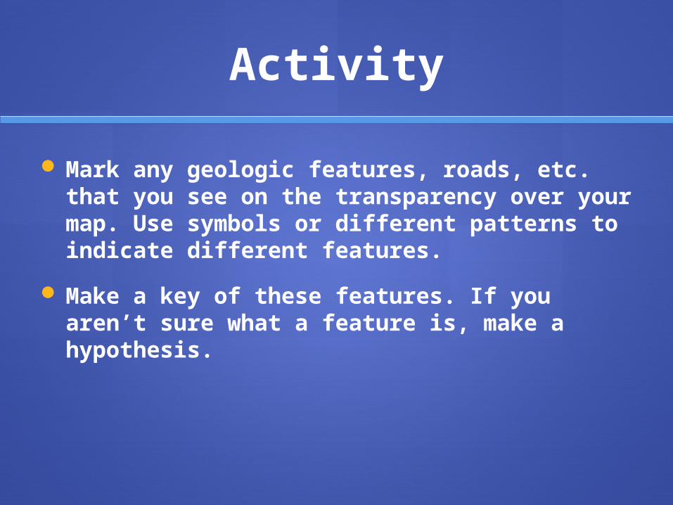
Activity
Mark any geologic features, roads, etc. that you see on the transparency over your map. Use symbols or different patterns to indicate different features.
Make a key of these features. If you aren’t sure what a feature is, make a hypothesis.

Aerial Photograp
hs and Maps
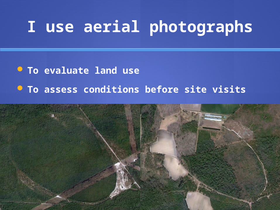
I use aerial photographs
To evaluate land use
To assess conditions before site visits

Someofmy
research
sites!


Identify geologic features
As you are given new information, make corrections to your map key.

Carolina bays