Embed Size (px)
Citation preview
- -
-
1 Federal Aviation Administration
Regional Workshop - AAL
October 19-20, 2011
AC 150/5300-16
Geodetic Control
Airports GIS
Presented to | FAA Regions | Alaska
By | Gil Neumann, APP 400 | Thomas Wade, ASW 611
Date | October 19 20, 2011
Geodetic Control | Agenda
Background (10 min)
Requirements (10 min)
Best Practices and Lessons Learned (10 min)
2 Federal Aviation Administration
Regional Workshop - AAL
October 19-20, 2011
1
Why does FAA require Geodetic Control?
To ensure a base level of survey data and mapping accuracy when collecting airport data for planning, engineering, and airspace-related projects
Airports GIS data is a NextGen enabler The role and importance of airport and aeronautical data in
meeting the safety, regularity, and efficiency of air navigation changed significantly with the implementation of area navigation (RNAV), required navigation performance (RNP) and airborne computer based navigation systems
3 Federal Aviation Administration
Regional Workshop - AAL
October 19-20, 2011
What is Geodetic Control? Establishing and/or verifying defined points of reference
by measurements of angles and distances, or by the Global Positioning System (GPS)
Who defines Geodetic Control standards? The National Spatial Reference System (NSRS), under the
control of the National Geodetic Survey (NGS) and managed by the Federal Geodetic Control Subcommittee (FGCS), is the standard in defining the latitude, longitude, elevation, scale, gravity, and orientation of control points throughout the United States
Geodetic control surveys included in NSRS meet data recording, submittal, project review, and least squares adjustment requirements established by the FGCS
4 Federal Aviation Administration
Regional Workshop - AAL
October 19-20, 2011
2
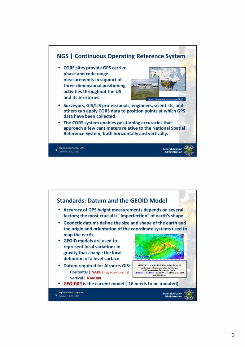
NGS | Continuous Operating Reference System
http://www.ngs.noaa.gov/CORS/
CORS sites provide GPS carrier phase and code range measurements in support of three-dimensional positioning activities throughout the US and its territories
Surveyors, GIS/LIS professionals, engineers, scientists, and others can apply CORS data to position points at which GPS data have been collected
The CORS system enables positioning accuracies that approach a few centimeters relative to the National Spatial Reference System, both horizontally and vertically.
5 Federal Aviation Administration
Regional Workshop - AAL
October 19-20, 2011
Standards: Datum and the GEOID Model
Accuracy of GPS height measurements depends on several factors; the most crucial is "imperfection" of earth's shape
Geodetic datums define the size and shape of the earth and the origin and orientation of the coordinate systems used to map the earth
GEOID models are used to represent local variations in gravity that change the local definition of a level surface
Datum required for Airports GIS: ‣ Horizontal | NAD83 (w/adjustments)
‣ Vertical | NAVD88
GEOID09 is the current model (-16 needs to be updated)
6 Federal Aviation Administration
Regional Workshop - AAL
October 19-20, 2011
3
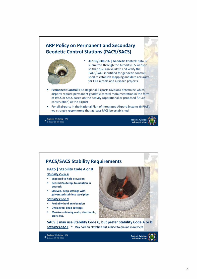
ARP Policy on Permanent and Secondary Geodetic Control Stations (PACS/SACS)
AC150/5300-16 | Geodetic Control: data is submitted through the Airports GIS website so that NGS can validate and verify the PACS/SACS identified for geodetic control used to establish mapping and data accuracy for FAA airport and airspace projects
Permanent Control: FAA Regional Airports Divisions determine which airports require permanent geodetic control monumentation in the form of PACS or SACS based on the activity (operational or proposed future construction) at the airport
For all airports in the National Plan of Integrated Airport Systems (NPIAS), we strongly recommend that at least PACS be established
7 Federal Aviation Administration
Regional Workshop - AAL
October 19-20, 2011
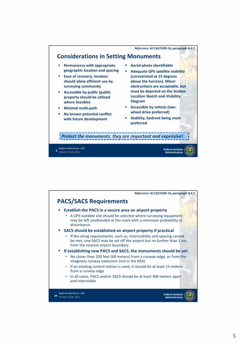
PACS/SACS Stability Requirements
PACS | Stability Code A or B Stability Code A
Expected to hold elevation
Bedrock/outcrop, foundation in bedrock
Sleeved, deep settings with galvanized stainless steel pipe
Stability Code B
Probably hold an elevation
Unsleeved, deep settings
Massive retaining walls, abutments, piers, etc.
SACS | may use Stability Code C, but prefer Stability Code A or B Stability Code C May hold an elevation but subject to ground movement
8 Federal Aviation Administration
Regional Workshop - AAL
October 19-20, 2011
4
Considerations in Setting Monuments
Permanency with appropriate geographic location and spacing
Ease of recovery, location should allow efficient use by surveying community
Accessible by public (public property should be utilized where feasible)
Minimal multi-path
No known potential conflict with future development
Aerial-photo identifiable
Adequate GPS satellite visibility (unrestricted at 15 degrees above the horizon). Minor obstructions are acceptable, but must be depicted on the Station Location Sketch and Visibility Diagram
Accessible by vehicle (twowheel drive preferred)
Stability, bedrock being most preferred
Protect the monuments: they are important and expensive!
Reference: AC150/5300-16, paragraph 8.4.5
9 Federal Aviation Administration
Regional Workshop - AAL
October 19-20, 2011
PACS/SACS Requirements
Establish the PACS in a secure area on airport property ‣ A GPS-suitable site should be selected where surveying equipment
Reference: AC150/5300-16, paragraph 8.4.5
may be left unattended at the mark with a minimum probability of disturbance
SACS should be established on airport property if practical ‣ If the siting requirements, such as, intervisibility and spacing cannot
be met, one SACS may be set off the airport but no further than 1 km from the nearest airport boundary.
If establishing new PACS and SACS, the monuments should be set: ‣ No closer than 200 feet (60 meters) from a runway edge, or from the
imaginary runway extension (not in the RSA)
‣ If an existing control station is used, it should be at least 15 meters from a runway edge
‣ In all cases, PACS and/or SACS should be at least 400 meters apart and intervisible
10 Federal Aviation Administration
Regional Workshop - AAL
October 19-20, 2011
5
PACS/SACS | Proximity to other Airport Features
Reference: AC150/5300-16, paragraph 8.4.5
PACS/SACS should be located so a surveying tripod can be situated overthe mark ‣ If the mark could be in peril from snow removal, mowing, and other operations, it
should be slightly recessed
NOTE: Consider the location of established PACS/SACS when planningnew airport construction; if destroyed (or not exist) they should bereplaced as part of a construction project
PACS/SACS must not be within 1000 feet (305 meters) of the critical sideof an: ‣ Instrument Landing System (ILS) Glideslope Antenna ‣ Instrument Landing System (ILS) Localizer ‣ Microwave Landing System Elevation Station ‣ Microwave Landing System Azimuth Station
PACS/SACS should be strategically located so as to provide maximumuse for subsequent surveys yet situated where the chances of futuredisturbance will be minimal ‣ An elevated site with runway end visibility is desirable. PACS and SACS should
also be located where future station occupation will cause no interference toor from aircraft, including from prop and jet blast
11 Federal Aviation Administration
Regional Workshop - AAL
October 19-20, 2011
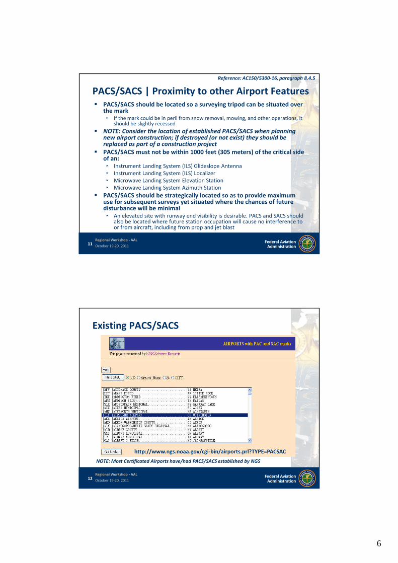
Existing PACS/SACS
http://www.ngs.noaa.gov/cgi-bin/airports.prl?TYPE=PACSAC
NOTE: Most Certificated Airports have/had PACS/SACS established by NGS
12 Federal Aviation Administration
Regional Workshop - AAL
October 19-20, 2011
6
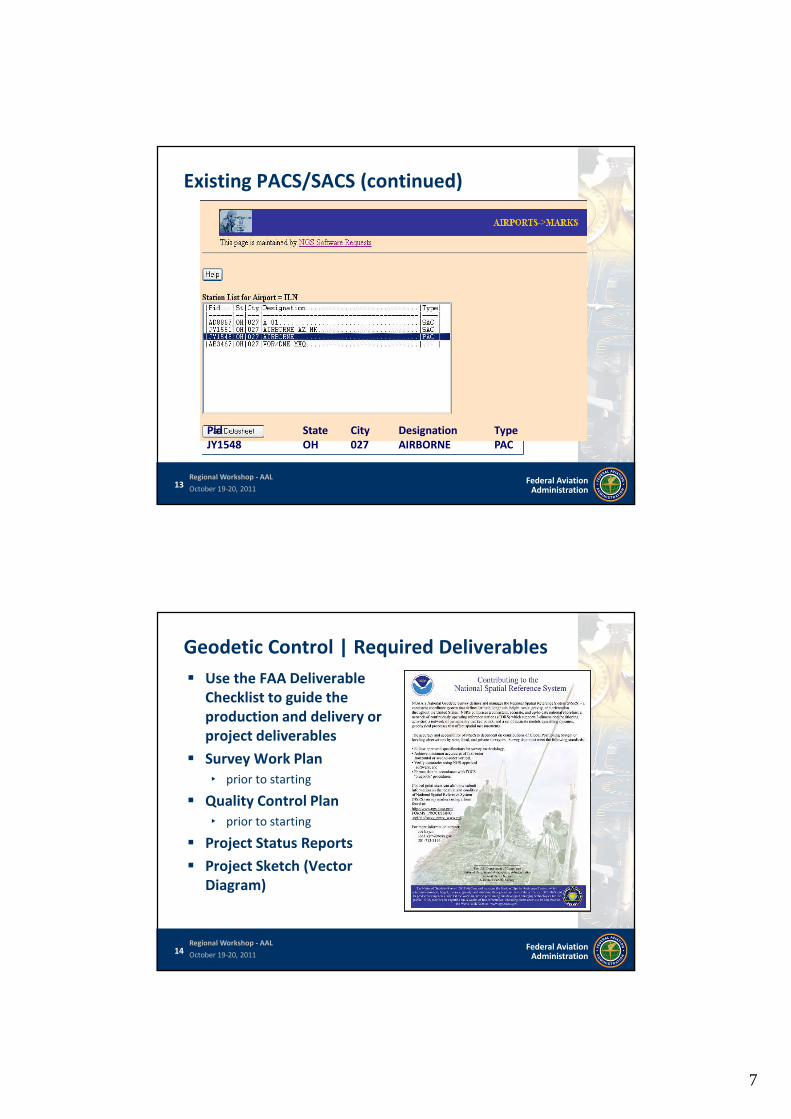
Existing PACS/SACS (continued)
Pid State City Designation Type JY1548 OH 027 AIRBORNE PAC
13 Federal Aviation Administration
Regional Workshop - AAL
October 19-20, 2011
Geodetic Control | Required Deliverables
Use the FAA Deliverable Checklist to guide the production and delivery or project deliverables
Survey Work Plan ‣ prior to starting
Quality Control Plan ‣ prior to starting
Project Status Reports
Project Sketch (Vector Diagram)
14 Federal Aviation Administration
Regional Workshop - AAL
October 19-20, 2011
7
15 Federal Aviation Administration
Regional Workshop - AAL
October 19-20, 2011
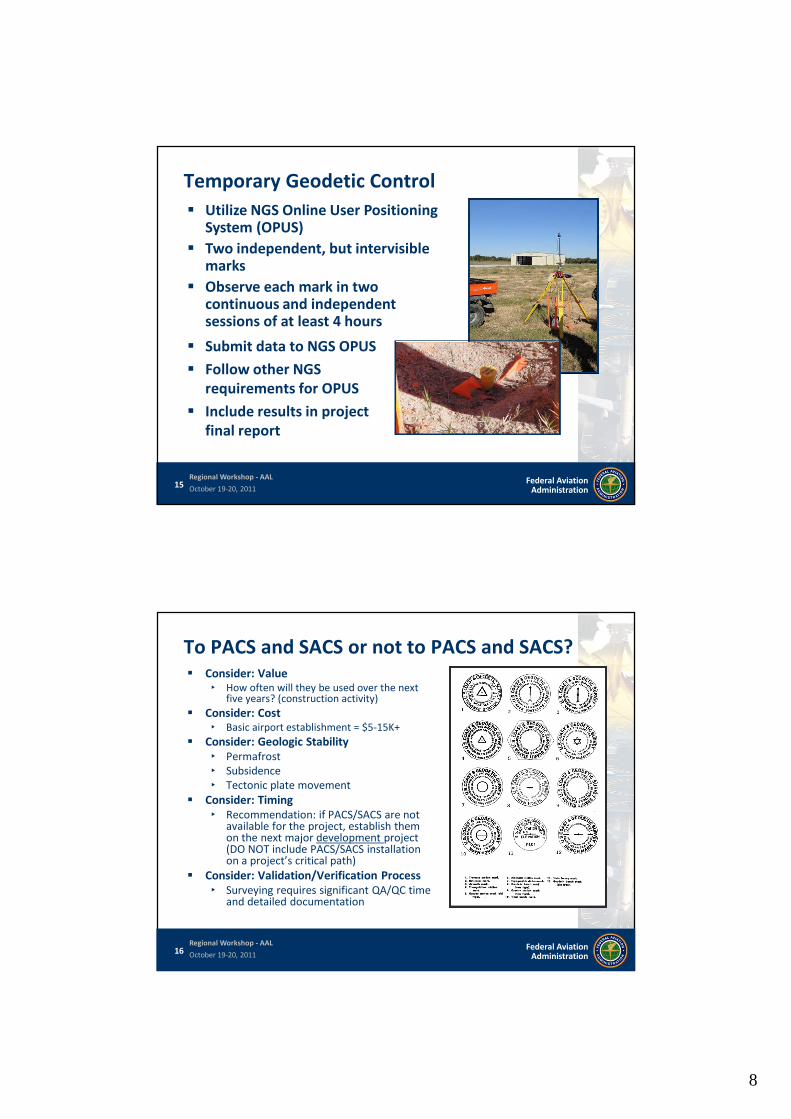
Temporary Geodetic Control
Submit data to NGS OPUS
Follow other NGS requirements for OPUS
Include results in project final report
Utilize NGS Online User Positioning System (OPUS)
Two independent, but intervisible marks
Observe each mark in two continuous and independent sessions of at least 4 hours
To PACS and SACS or not to PACS and SACS? Consider: Value
‣ How often will they be used over the nextfive years? (construction activity)
Consider: Cost ‣ Basic airport establishment = $5-15K+
Consider: Geologic Stability ‣ Permafrost ‣ Subsidence ‣ Tectonic plate movement
Consider: Timing ‣ Recommendation: if PACS/SACS are not
available for the project, establish themon the next major development project(DO NOT include PACS/SACS installationon a project’s critical path)
Consider: Validation/Verification Process ‣ Surveying requires significant QA/QC time
and detailed documentation
16 Federal Aviation Administration
Regional Workshop - AAL
October 19-20, 2011
8
PACS/SACS | Additional Considerations Temporary Survey Marks (TSM) can provide an equivalent level of
accuracy, however: ‣ They must be re-established with each project,
‣ Use is subject to atmospheric and meteorological conditions,
‣ Those with limited experience in establishing temporary control typically have more likelihood of causing an error in this scenario
If PACS/SACS are not available in planning project–establish on next major development project ‣ DO NOT include PACS/SACS installation on a project’s critical path
‣ Create separate Airports-GIS Project (Airside Construction)
Minimum requirements – 1 PACS, Preferably 1 SACS
Large (acreage) airports could have 2 PACS/4 (or more) SACS
State-plane coordinates need translation and transformation
-16 requires significant surveying documentation; provides value
17 Federal Aviation Administration
Regional Workshop - AAL
October 19-20, 2011
Questions
1. Must you install PACS/SACS at NPIAS Airports?
2. Where can you find out if an airport has published PACS/SACS?
3. What is the current Geoid model for Alaska?
18 Federal Aviation Administration
Regional Workshop - AAL
October 19-20, 2011
9
19 Federal Aviation Administration
Regional Workshop - AAL
October 19-20, 2011
G. Thomas Wade, P.E.
Senior Planner | ASW-610
Office: 817.222.5613
Gil Neumann
Senior Airport Planner | APP-400
Office: 202.267.5840
10