Embed Size (px)
Citation preview
8. Specifics on Digitizing & Layout tips
1
Week 6
Specifics on Digitizing and More tips on a Layout
8. Specifics on Digitizing & Layout tips
2
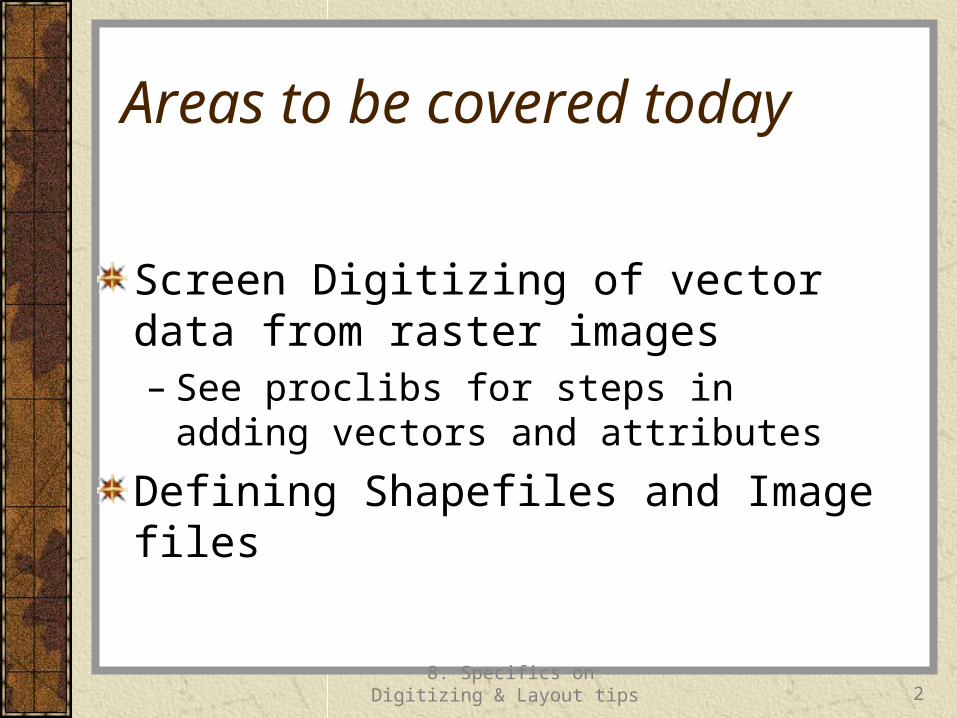
Areas to be covered today
Screen Digitizing of vector data from raster images– See proclibs for steps in adding vectors and
attributes
Defining Shapefiles and Image files
8. Specifics on Digitizing & Layout tips
3
1. SCREEN DIGITIZING
8. Specifics on Digitizing & Layout tips
4
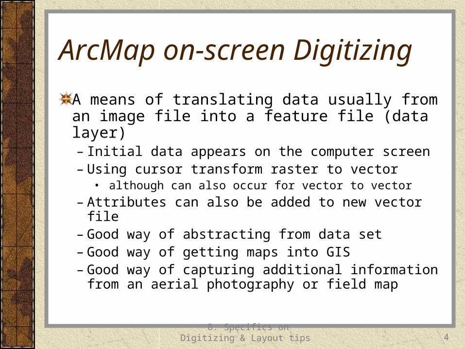
ArcMap on-screen Digitizing
A means of translating data usually from an image file into a feature file (data layer)– Initial data appears on the computer screen– Using cursor transform raster to vector
• although can also occur for vector to vector
– Attributes can also be added to new vector file– Good way of abstracting from data set– Good way of getting maps into GIS– Good way of capturing additional information from
an aerial photography or field map
ArcMap on-screen digitizing
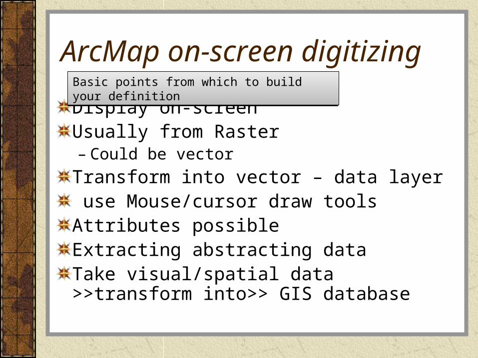
Display on-screenUsually from Raster– Could be vector
Transform into vector – data layer use Mouse/cursor draw toolsAttributes possibleExtracting abstracting dataTake visual/spatial data >>transform into>> GIS database
Basic points from which to build your definitionBasic points from which to build your definition
8. Specifics on Digitizing & Layout tips
6
2. Defining Shapefiles and Image Files in ArcMap
8. Specifics on Digitizing & Layout tips
7
Imagefile
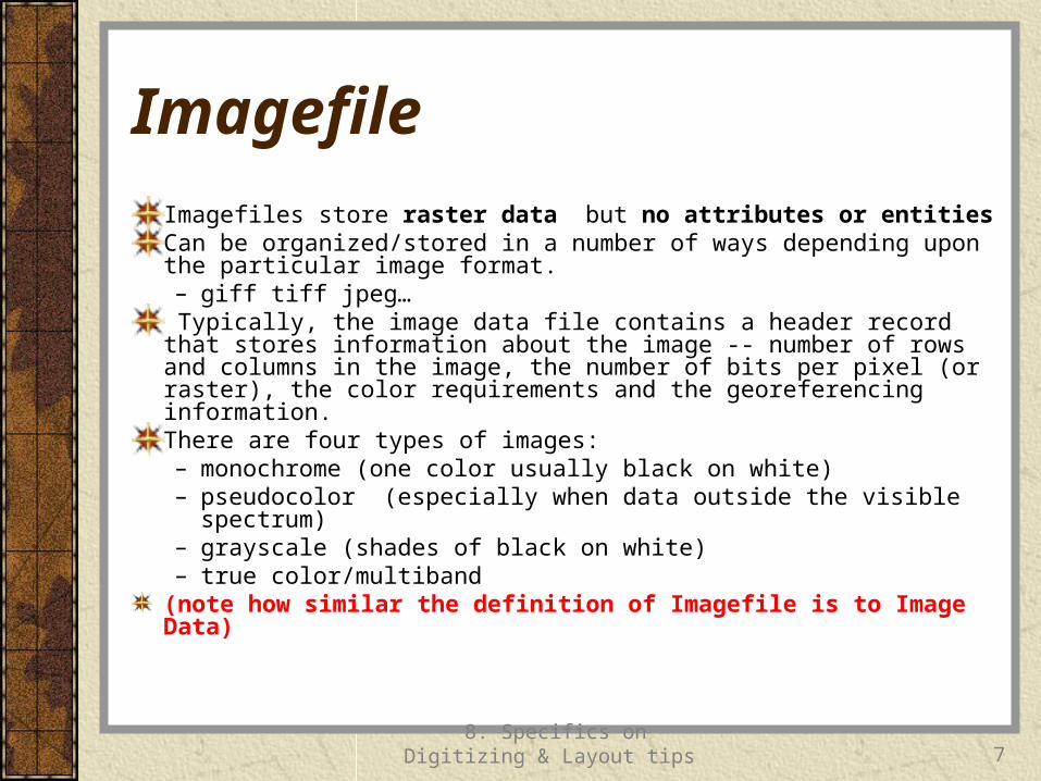
Imagefiles store raster data but no attributes or entitiesCan be organized/stored in a number of ways depending upon the particular image format.– giff tiff jpeg…
Typically, the image data file contains a header record that stores information about the image -- number of rows and columns in the image, the number of bits per pixel (or raster), the color requirements and the georeferencing information. There are four types of images:– monochrome (one color usually black on white) – pseudocolor (especially when data outside the visible spectrum)– grayscale (shades of black on white) – true color/multiband
(note how similar the definition of Imagefile is to Image Data)
8. Specifics on Digitizing & Layout tips
8
Shapefile
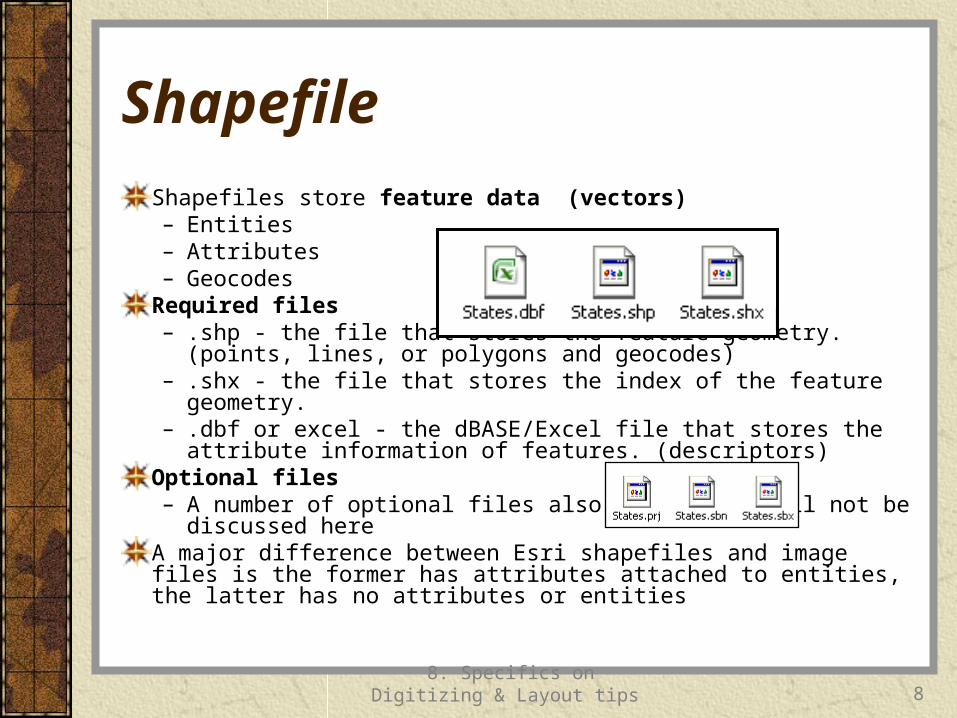
Shapefiles store feature data (vectors)– Entities– Attributes– Geocodes
Required files– .shp - the file that stores the feature geometry.(points, lines, or
polygons and geocodes) – .shx - the file that stores the index of the feature geometry.– .dbf or excel - the dBASE/Excel file that stores the attribute
information of features. (descriptors)Optional files– A number of optional files also exist, but will not be discussed here
A major difference between Esri shapefiles and image files is the former has attributes attached to entities, the latter has no attributes or entities
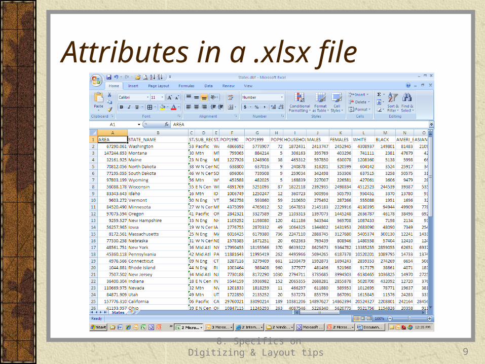
Attributes in a .xlsx file
8. Specifics on Digitizing & Layout tips
9
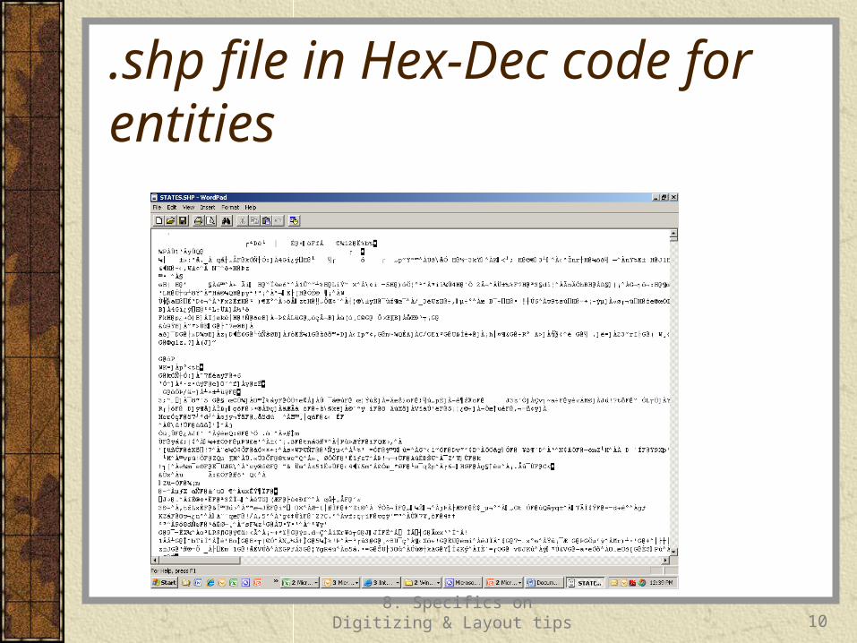
.shp file in Hex-Dec code for entities
8. Specifics on Digitizing & Layout tips
10
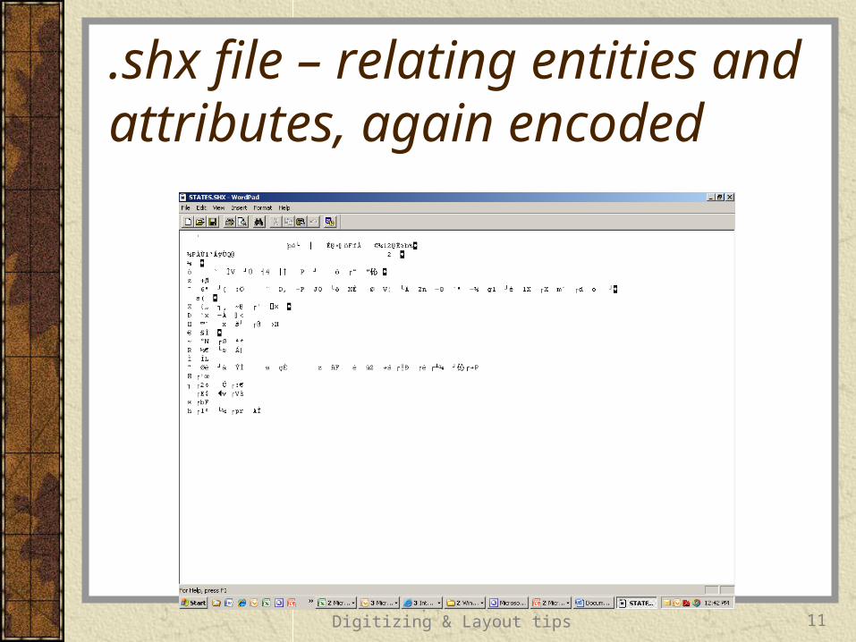
.shx file – relating entities and attributes, again encoded
8. Specifics on Digitizing & Layout tips
11
8. Specifics on Digitizing & Layout tips
12
Final Thought
Realize that Screen Digitizing generally creates Shapefiles from Image files (although it is also possible to use it to create a new shapefile from an existing shapefile(s) or other vector formats).