Embed Size (px)
Citation preview
04/19/23GEM 3366
1
Lecture 10 Content
Other Satellites
04/19/23GEM 3366
2
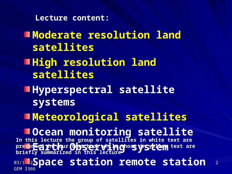
Moderate resolution land satellites
High resolution land satellites
Hyperspectral satellite systems
Meteorological satellites
Ocean monitoring satellite
Earth Observing system
Space station remote station
Lecture content:
In this lecture the group of satellites in white text are presented in your text book while those in yellow text are briefly summarized in this lecture
04/19/23GEM 3366
3
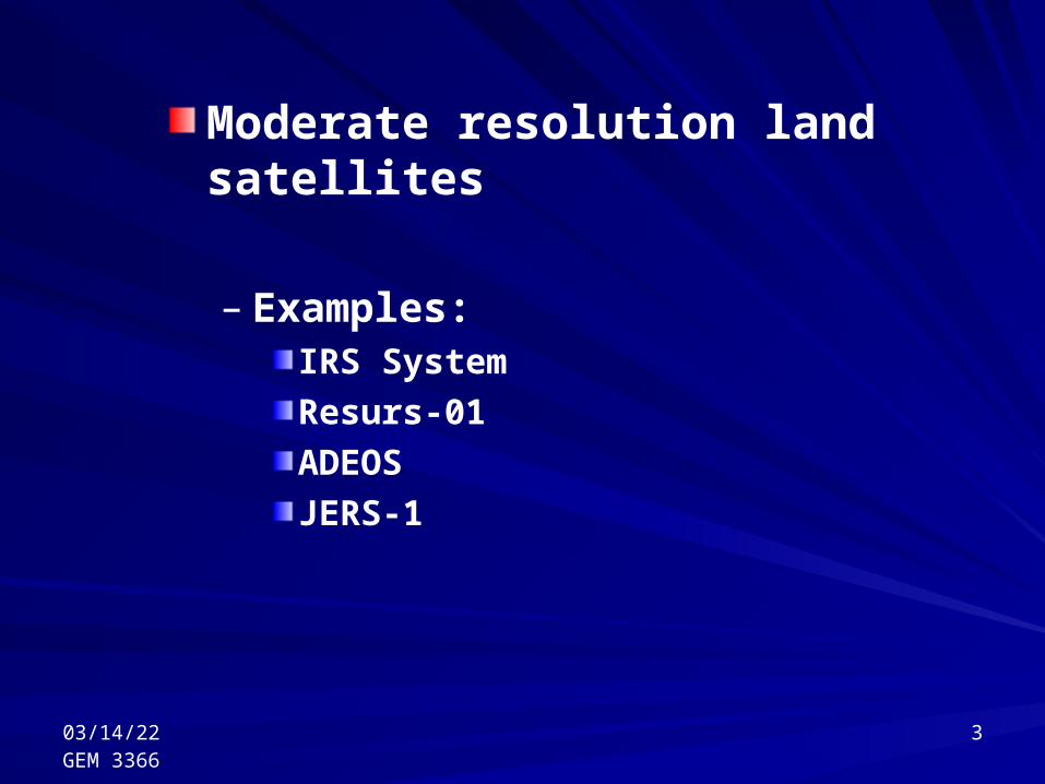
Moderate resolution land satellites
– Examples:IRS System
Resurs-01
ADEOS
JERS-1
04/19/23GEM 3366
4
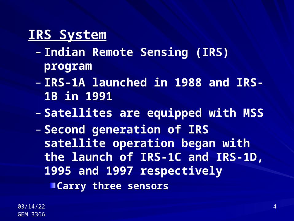
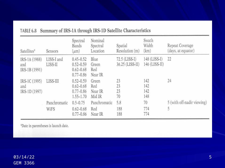
IRS System– Indian Remote Sensing (IRS) program– IRS-1A launched in 1988 and IRS-1B in
1991– Satellites are equipped with MSS– Second generation of IRS satellite
operation began with the launch of IRS-1C and IRS-1D, 1995 and 1997 respectively
Carry three sensors
04/19/23GEM 3366
5
04/19/23GEM 3366
6
RESURS-01– Russian satellite– Launched first series in 1985– Operated for 3 years and a second
satellite launched in 1988 which served for 7 years
– Third satellite began in 1994
04/19/23GEM 3366
7
– Satellites carry MSS with spatial resolution of 170m in four visible and near IR bands
– From 678km, the system has a revisit interval of 4 days
– Size of the scene is 600x600km

04/19/23GEM 3366
8
ADEOS– Japanese satellite– Advanced Earth Observing Satellite (ADEOS),
launched in 1996– Carry two primary sensing systems
Advanced Visible and Near Infrared Radiometer (AVNIR)
Ocean Color and Temperature Sensor (OCTS)
– AVNIR data collected in four-band MS mode– OCTS records 8 bands in the visible and near IR
and 4 bands in the thermal region
04/19/23GEM 3366
9
JERES-1– Primarily as a radar remote sensing
mission– Launched in 1992– Carried an Optical Sensor (OPS) which
captures spatial resolution of 18x24m– Employs pushbroom scanning in 7 bands
in the visible, near IR, and mid-IR

04/19/23GEM 3366
10
High Resolution land satellites– Numerous launched, or are in
development– Examples:
SPIN-2
IKONOS
QuickBird
OrbView-3
EROS
04/19/23GEM 3366
11
SPIN-2– Russian (first mission in 1998)– Space Information-2 (SPIN-2)– Data is produced by digitizing
panchromatic photographs taken by a particular camera called KUR-1000
– Altitude of 220km– Individual scenes of 40x160km
04/19/23GEM 3366
12
IKONOS– Launched in 1999– Repeats every 11 days– Image coverage is 11x11km– Collects data in four bands at a ground
resolution of 4m– System is highly maneuverable (can
zoom in and out)
04/19/23GEM 3366
13
QuickBird– By EarthWatch Inc. – Launched in 2001– High resolution data obtained at an
altitude of 600km– Average revisit time is 1 to 5 days– 1m resolution panchromatic sensor and
the four band sensor with a resolution of 4m
04/19/23GEM 3366
14
OrbView-3– By ORBIMAGE– Launch in mid-2000– Altitude of 420km– Repetition is less than 1.5 days with
OrbView-3 and OrbView-4 operating simultaneously
– Includes panchromatic band (1m resolution), and four MS bands (3m resolution)

04/19/23GEM 3366
15
EROS– By ImageSat International– Joint between Israel Aircraft Industries
and Core Software Technologies– Two EROS A+, launched in 2000, and
2001– Pushbroom scanning by these
panchromatic systems – Resolution of 1.8m and 16km swath width
04/19/23GEM 3366
16
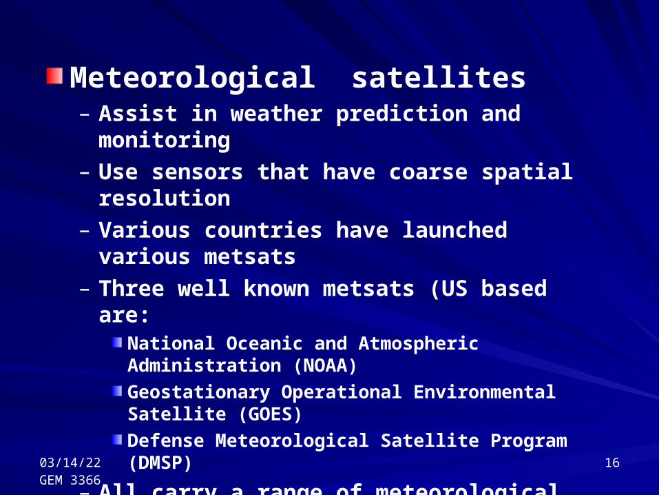
Meteorological satellites– Assist in weather prediction and monitoring– Use sensors that have coarse spatial resolution– Various countries have launched various
metsats– Three well known metsats (US based are:
National Oceanic and Atmospheric Administration (NOAA)
Geostationary Operational Environmental Satellite (GOES)
Defense Meteorological Satellite Program (DMSP)
– All carry a range of meteorological sensors
04/19/23GEM 3366
17
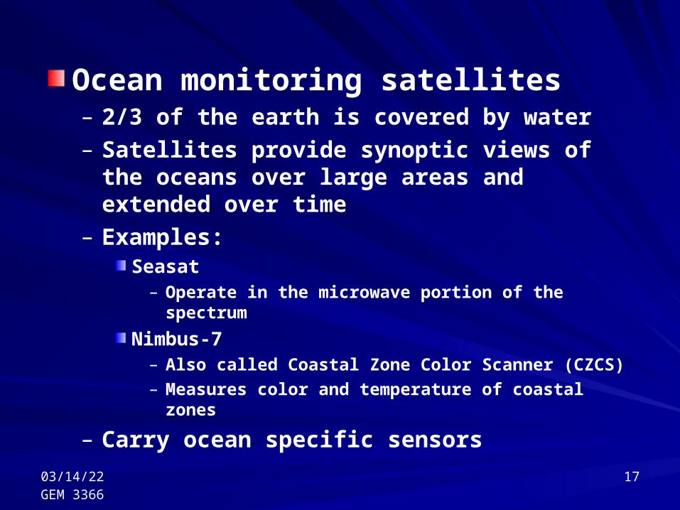
Ocean monitoring satellites– 2/3 of the earth is covered by water– Satellites provide synoptic views of the oceans
over large areas and extended over time– Examples:
Seasat– Operate in the microwave portion of the spectrum
Nimbus-7– Also called Coastal Zone Color Scanner (CZCS)
– Measures color and temperature of coastal zones
– Carry ocean specific sensors

04/19/23GEM 3366
18
… The End …