Embed Size (px)
Citation preview

1. Digital Orthophoto (Aerial Imagery)2. Section wise Tax Maps3. Tax roll database4. Subdivision Plat Maps5. Legal description database of properties
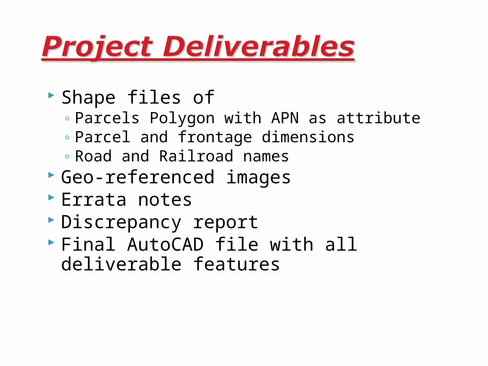
Shape files of◦ Parcels Polygon with APN as attribute◦ Parcel and frontage dimensions◦ Road and Railroad names
Geo-referenced images Errata notes Discrepancy report Final AutoCAD file with all deliverable
features
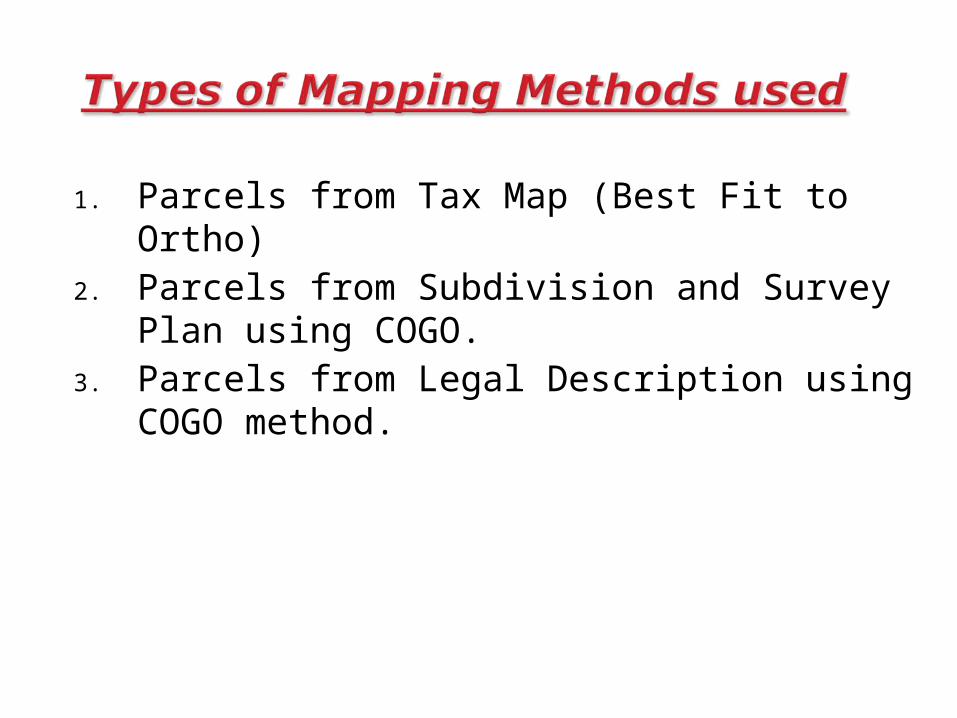
1. Parcels from Tax Map (Best Fit to Ortho)2. Parcels from Subdivision and Survey Plan
using COGO.3. Parcels from Legal Description using COGO
method.
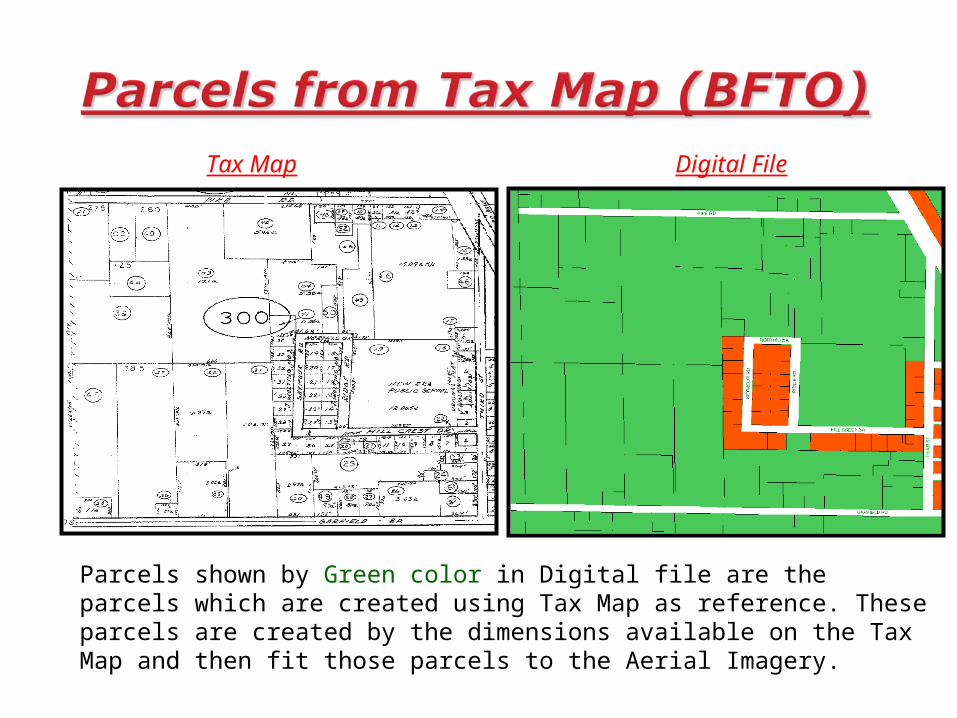
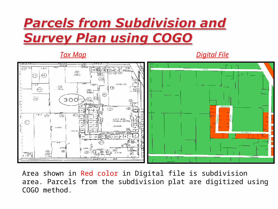
Tax Map Digital File
Parcels shown by Green color in Digital file are the parcels which are created using Tax Map as reference. These parcels are created by the dimensions available on the Tax Map and then fit those parcels to the Aerial Imagery.
Tax Map Digital File
Area shown in Red color in Digital file is subdivision area. Parcels from the subdivision plat are digitized using COGO method.
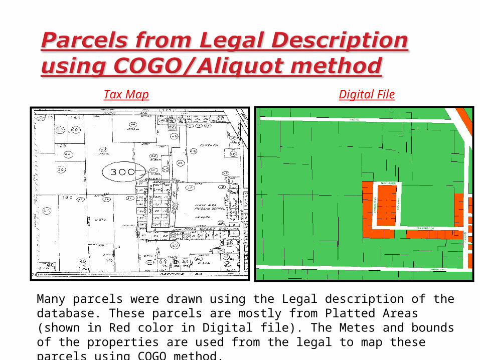
Tax Map Digital File
Many parcels were drawn using the Legal description of the database. These parcels are mostly from Platted Areas (shown in Red color in Digital file). The Metes and bounds of the properties are used from the legal to map these parcels using COGO method.
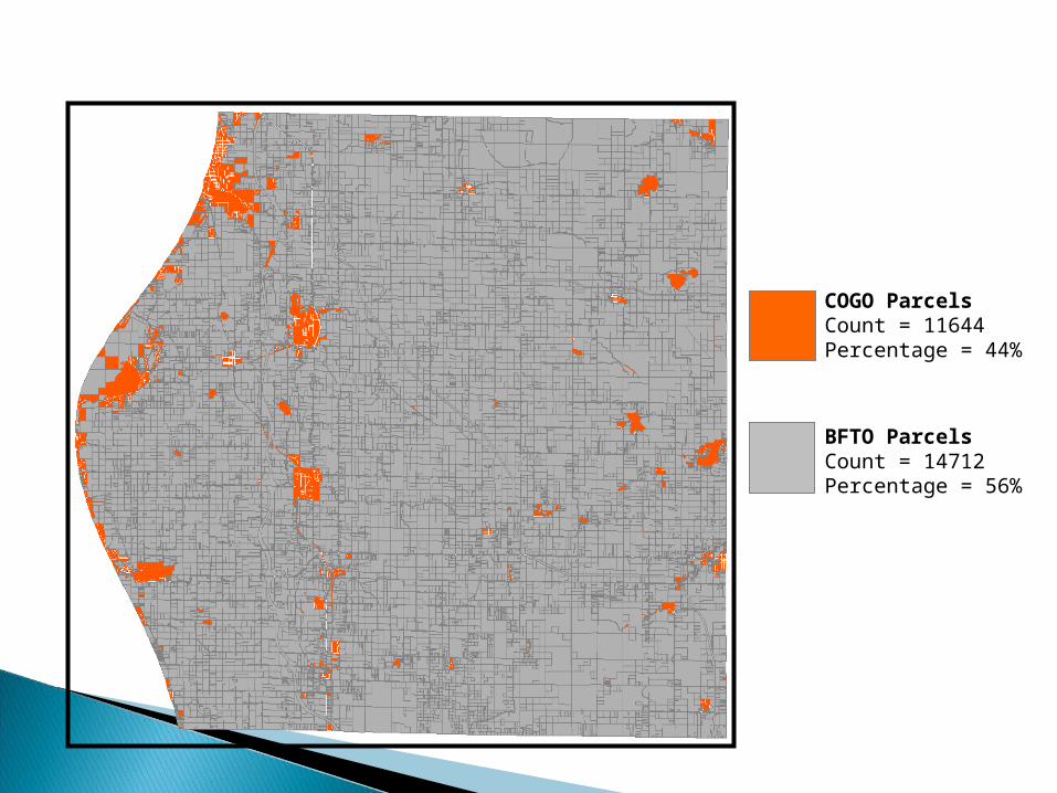
COGO ParcelsCount = 11644Percentage = 44%
BFTO ParcelsCount = 14712Percentage = 56%
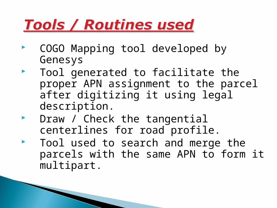
COGO Mapping tool developed by Genesys Tool generated to facilitate the proper APN
assignment to the parcel after digitizing it using legal description.
Draw / Check the tangential centerlines for road profile.
Tool used to search and merge the parcels with the same APN to form it multipart.
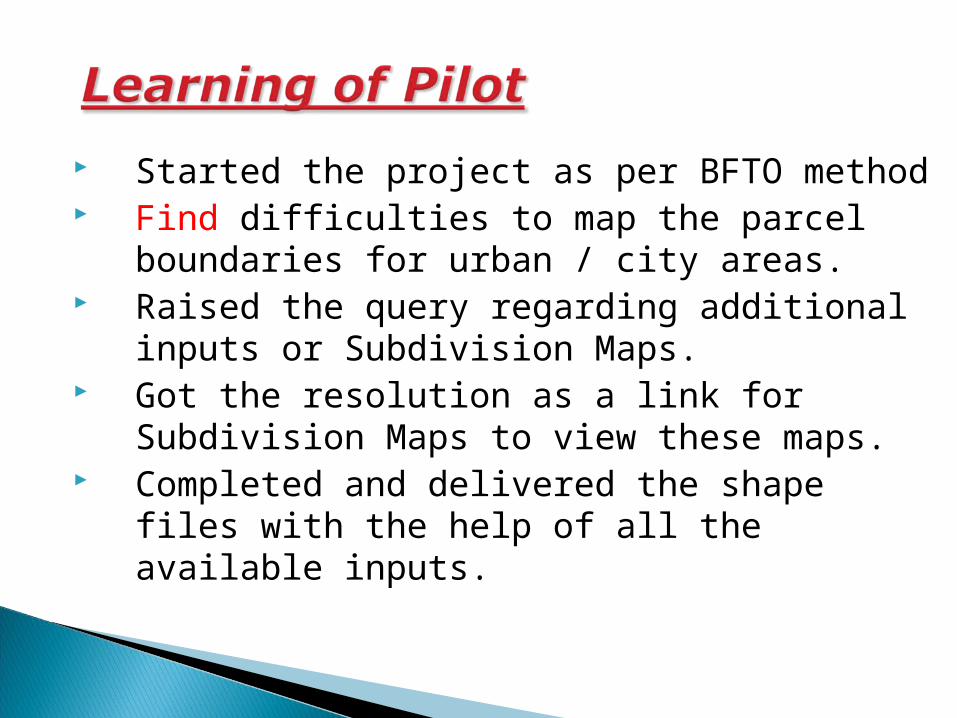
Started the project as per BFTO method Find difficulties to map the parcel
boundaries for urban / city areas. Raised the query regarding additional
inputs or Subdivision Maps. Got the resolution as a link for Subdivision
Maps to view these maps. Completed and delivered the shape files
with the help of all the available inputs.
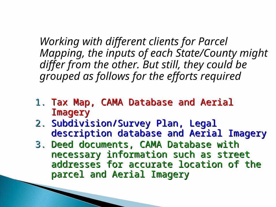
Working with different clients for Parcel Mapping, the inputs of each State/County might differ from the other. But still, they could be grouped as follows for the efforts required
1.1. Tax Map, CAMA Database and Aerial ImageryTax Map, CAMA Database and Aerial Imagery2.2. Subdivision/Survey Plan, Legal description Subdivision/Survey Plan, Legal description
database and Aerial Imagerydatabase and Aerial Imagery3.3. Deed documents, CAMA Database with Deed documents, CAMA Database with
necessary information such as street necessary information such as street addresses for accurate location of the parcel addresses for accurate location of the parcel and Aerial Imageryand Aerial Imagery