Embed Size (px)
Citation preview
4 REGIONS OF THE UNITED STATES

People define regions in order to identify places that have similar characteristics or close connections
US divided both historically, by the ways people live, work, and play in them; or by political orientation
For the purpose of collecting statistics; US gov’t divided country – based on physical, economic, cultural, ad historical factors
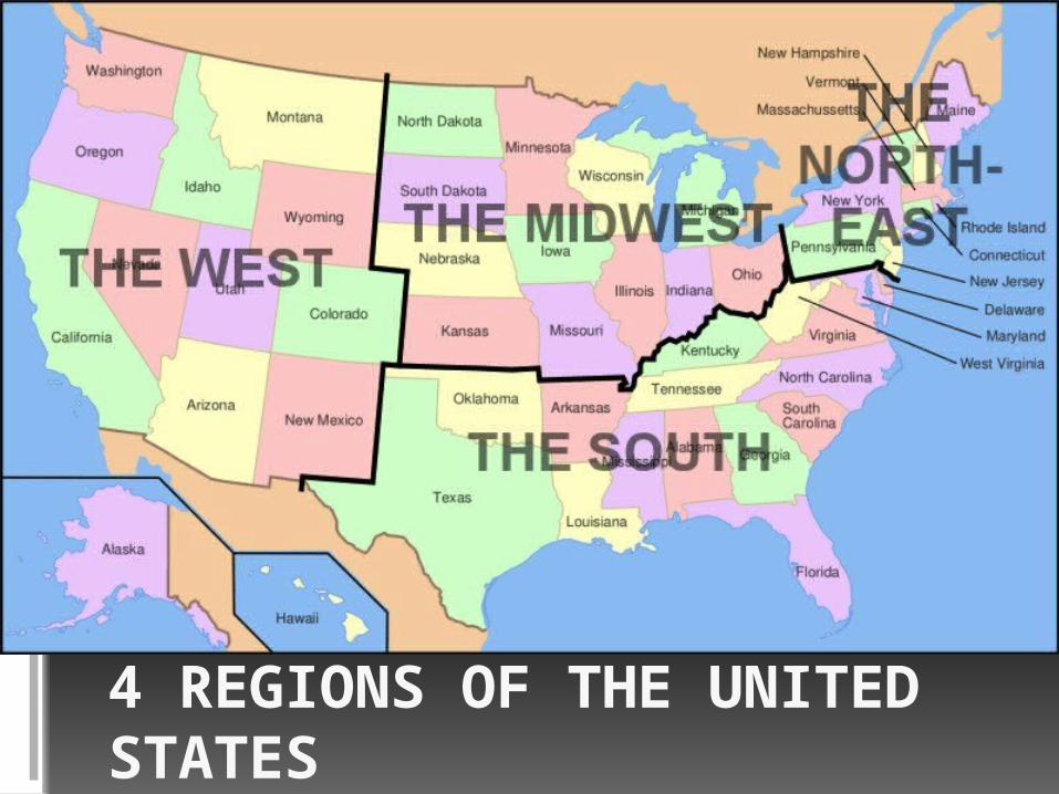
Northeast
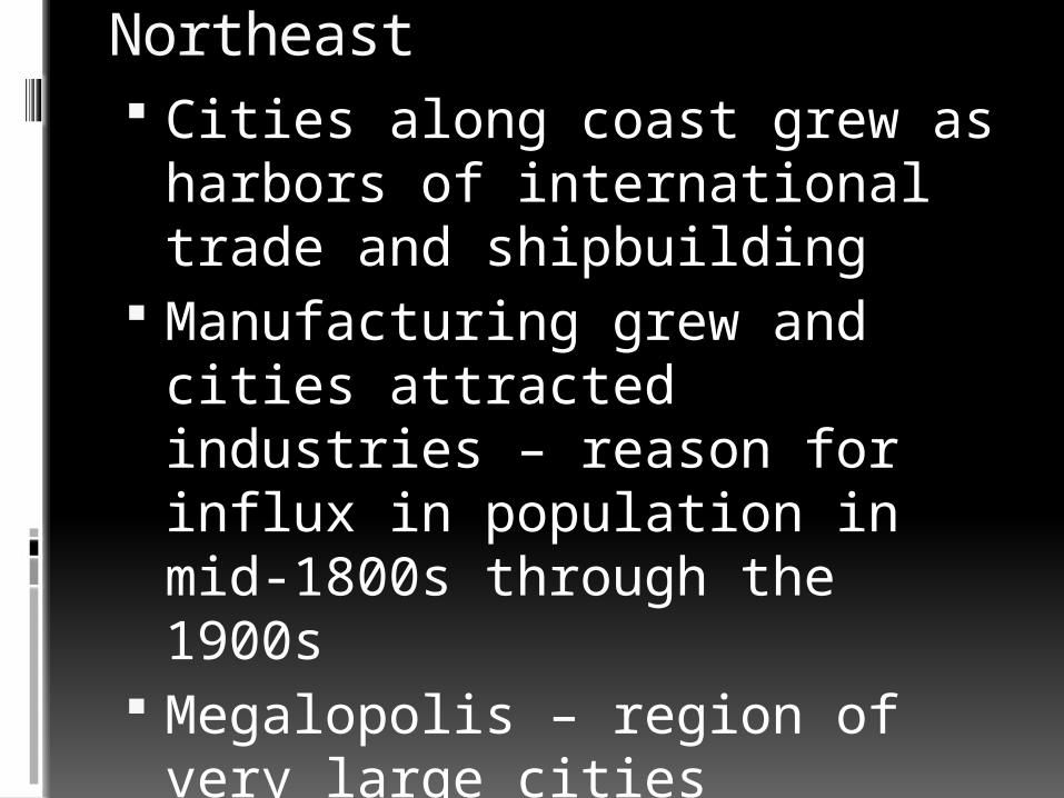
Northeast Cities along coast grew as
harbors of international trade and shipbuilding
Manufacturing grew and cities attracted industries – reason for influx in population in mid-1800s through the 1900s
Megalopolis – region of very large cities Suburbs of one city stretch to the
suburbs of another (from Boston to D.C.)
The Northeast
Few natural resources Thin, rocky soils and steep hills Not suitable for farming
Appalachian’s make area rugged
Most valuable resource? Water – turned it into a center of trade, commerce, and industry
Northeast
Fishing industry strong because of rocky/jagged shorline (provides great harbors)
1/6th US population, but number is now declining
New York City – business capital of the world
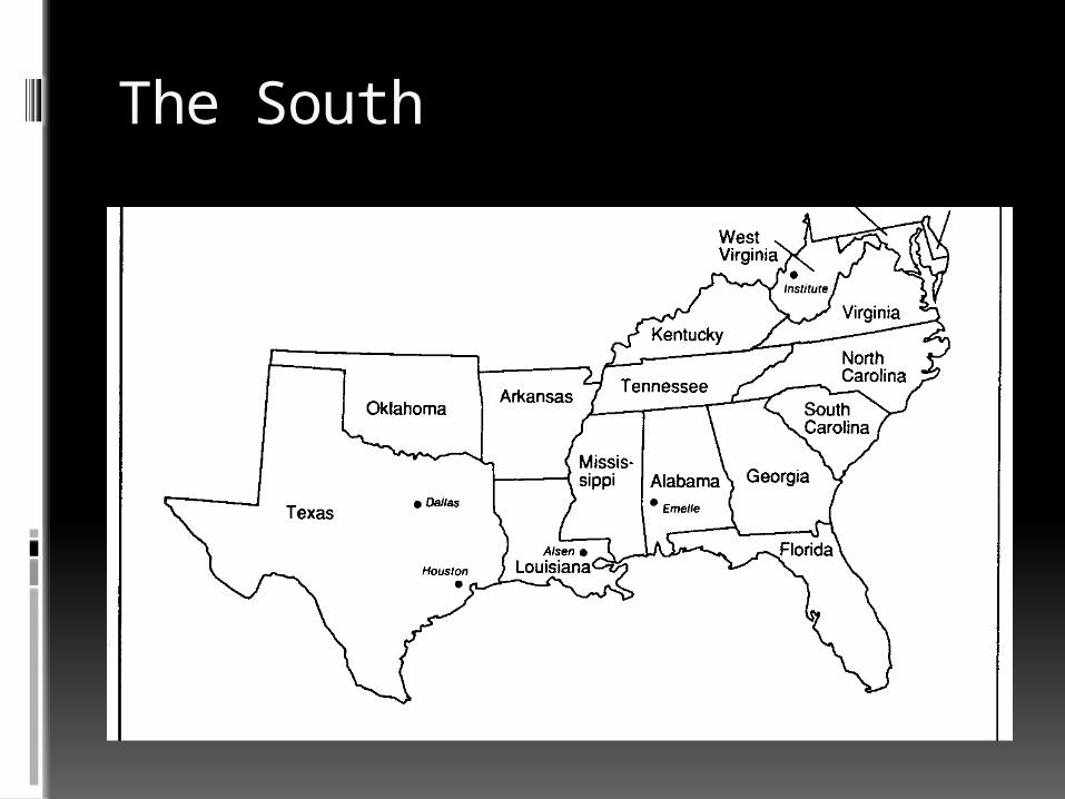
The South
The South
Considered the states that were part of Confederacy in Civil War Includes 5 others
Humid-subtropical climate Mixed forests Rich soils – great for
agriculture Long growing season
The South US largest oil reserves Washington D.C.
The nation’s first planned city New Orleans – major trading
center on mouth of MS Miami – gateway to Caribbean and
South America Atlanta – major airline hub South is considered retirement
center because of climate
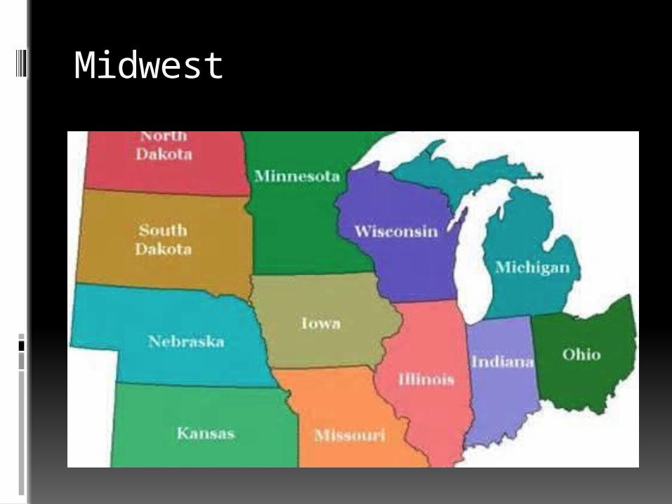
Midwest
The Midwest Farms unite region Agricultural “heartland” Relatively flat; very fertile soil Climate varies Nicknamed the “Nation’s
Breadbasket” Grain, wheat, dairy products, and hogs produced in the region
The Midwest Major cities are located along rivers
or the Great Lakes Detroit, St. Louis, Minneapolis,
Chicago, Cleveland, Omaha, etc. Water transportation aided the
growth of heavy industries 600 million tons of goods travel
MS River system annually Cities home to heavy manufacturing Minnesota leads in iron ore
production Illinois and Indiana – coal
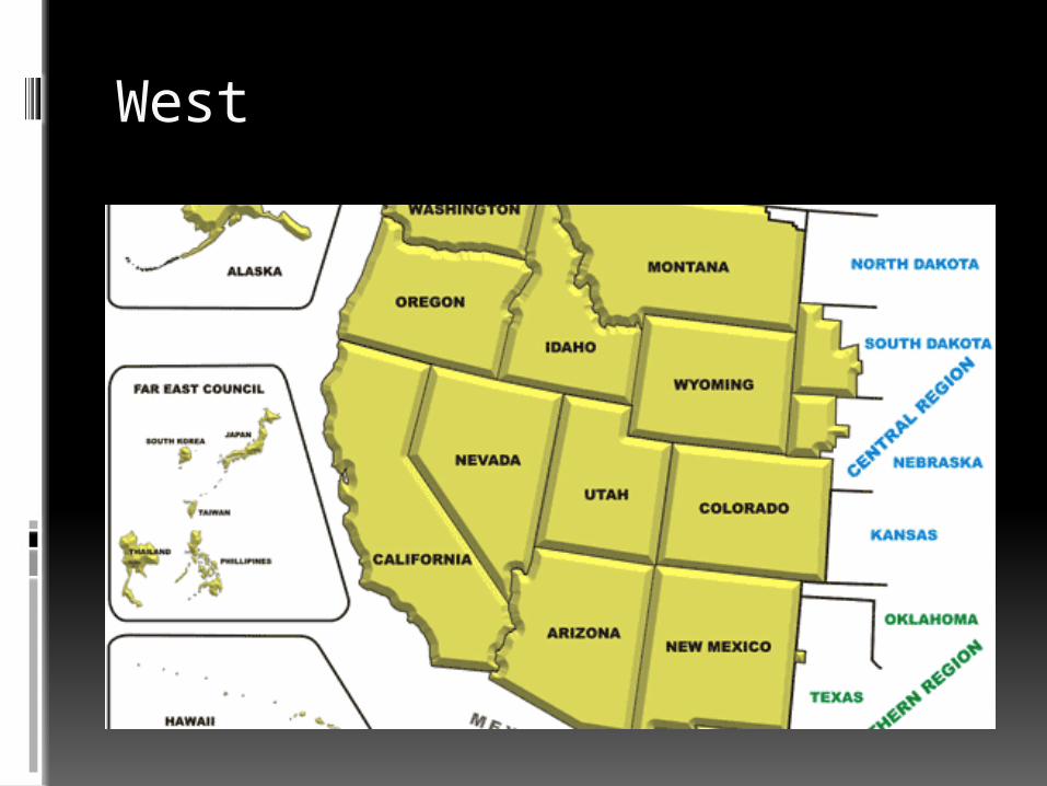
West
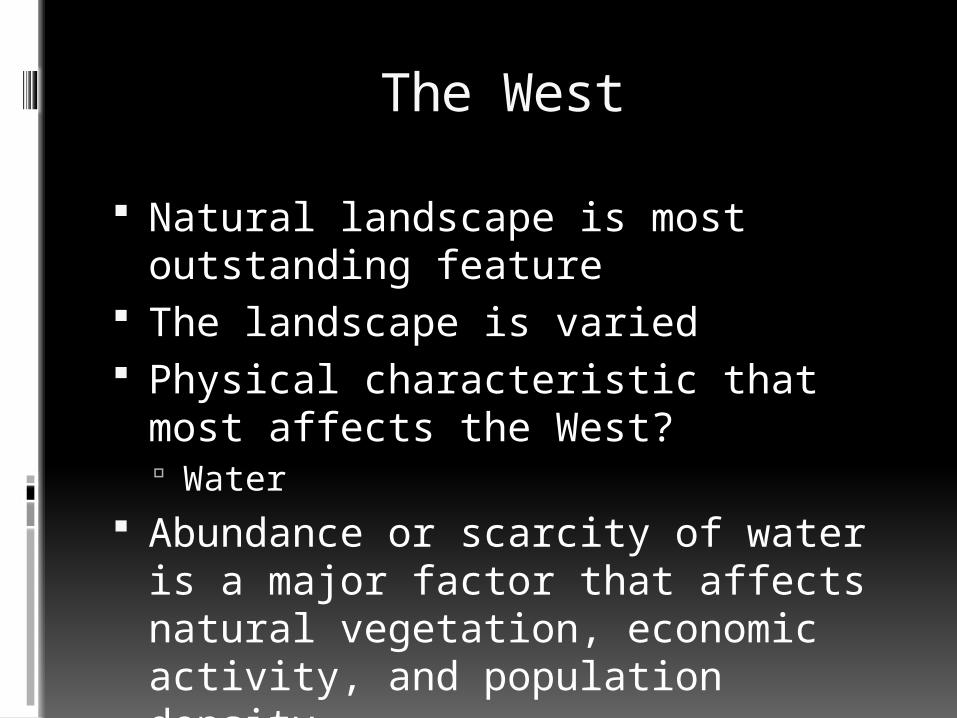
The West
Natural landscape is most outstanding feature
The landscape is varied Physical characteristic that most
affects the West? Water
Abundance or scarcity of water is a major factor that affects natural vegetation, economic activity, and population density
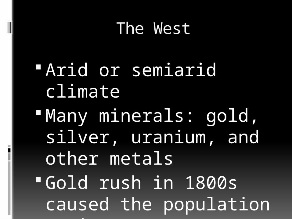
The West
Arid or semiarid climate Many minerals: gold, silver, uranium, and other metals
Gold rush in 1800s caused the population to increase
Deposits of natural gas and oil
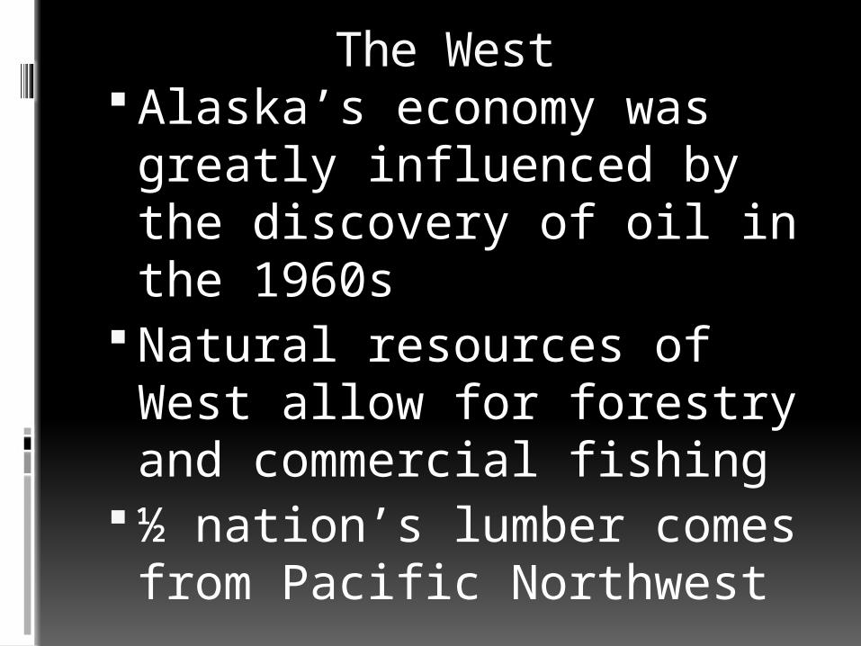
The West Alaska’s economy was greatly influenced by the discovery of oil in the 1960s
Natural resources of West allow for forestry and commercial fishing
½ nation’s lumber comes from Pacific Northwest
The West
Fishing off Pacific Coast, Alaska, & Hawaii bring in $2billlion annually
Built aqueducts to move water Large pipes built for
transporting water Juneau – capital of Alaska can
only be reached by plane or boat
Hawaii – 2,000 miles from the U.S. mainland
The West
Residents of the West of adapted to their environment by:
1.Building aqueducts2.Overcome distances by using
boat or airplane3.Working in forestry and
commercial fishing